Elevation of Ord St, Salisbury, PA, USA
Location: United States > Pennsylvania > Somerset County > Salisbury >
Longitude: -79.084681
Latitude: 39.7534487
Elevation: 640m / 2100feet
Barometric Pressure: 94KPa
Elevation Map:
Satellite Map:
Related Photos:

Salisbury Viaduct, Great Allegheny Passage Trail

Spruce Forest Artisan Village
The Angle Of The Day

Great Spangled Fritillary - Speyeria cybele
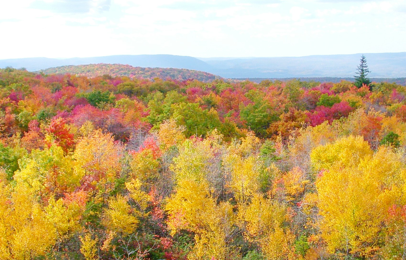
Salisbury View

European Skipper - Thymelicus lineola

Q26114 - Meyersdale, PA

European Skipper - Thymelicus lineola

Great Spangled Fritillary - Speyeria cybele

European Skipper - Thymelicus lineola

Salisbury Viaduct, Great Allegheny Passage Tail

European Skipper - Thymelicus lineola

Roesel’s Katydid - Metrioptera roeselii

Great Spangled Fritillary - Speyeria cybele
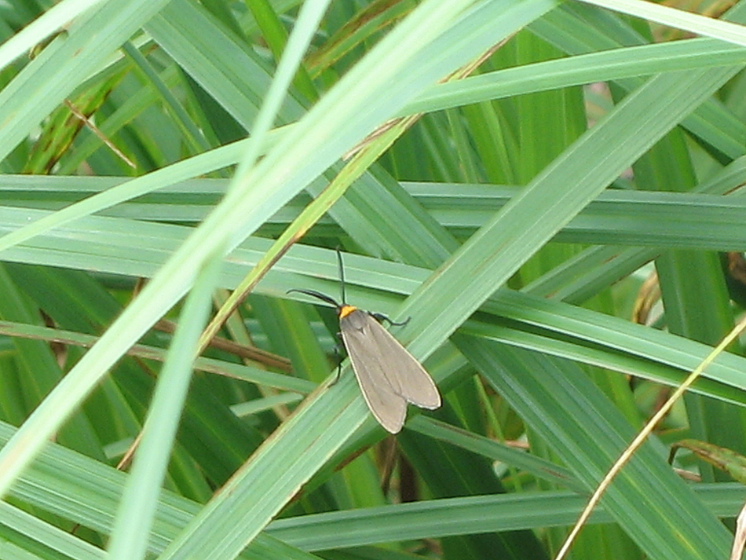
Yellow-collared Scape Moth - Cisseps fulvicollis
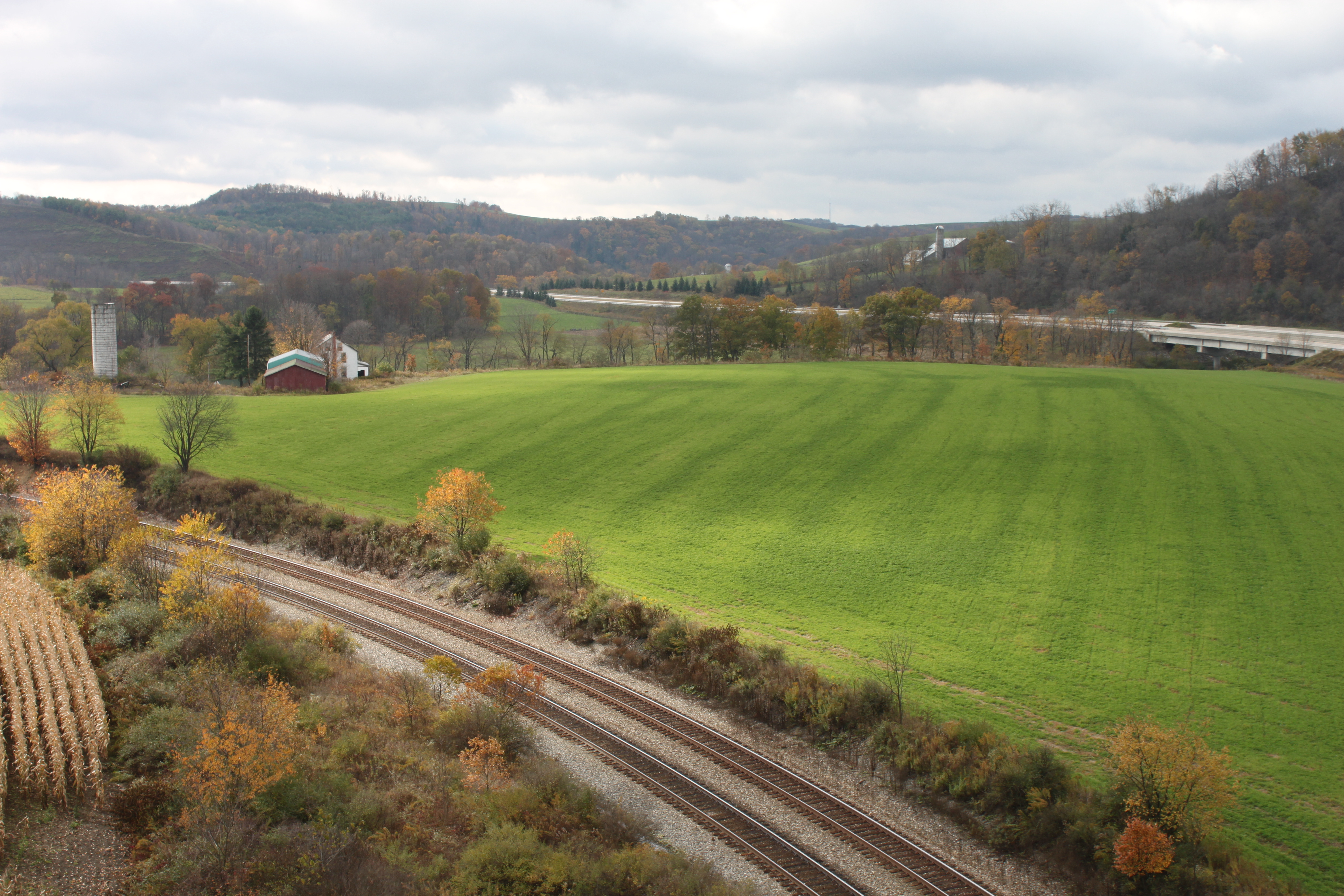
View from Salisbury Viaduct
View From Mt. Davis
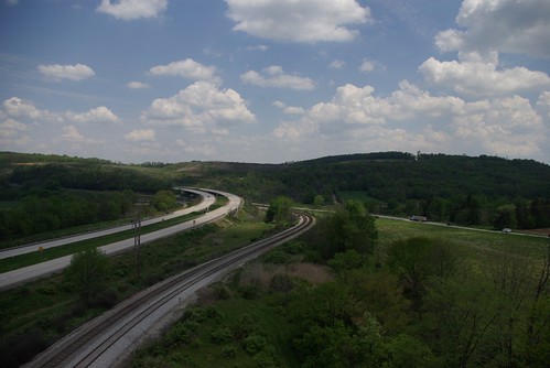
View From Salisbury Viaduct
Old Johnson Barn
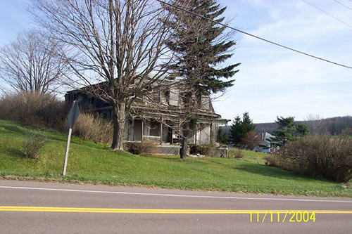
Thomas Johnson Farmhouse
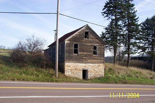
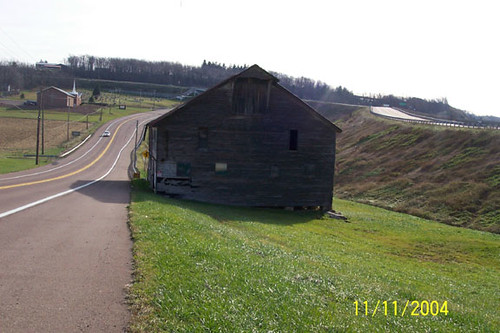
Thomas Johnson Shed
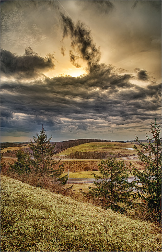
Hillside under clouds.
20130929-XE1-0490
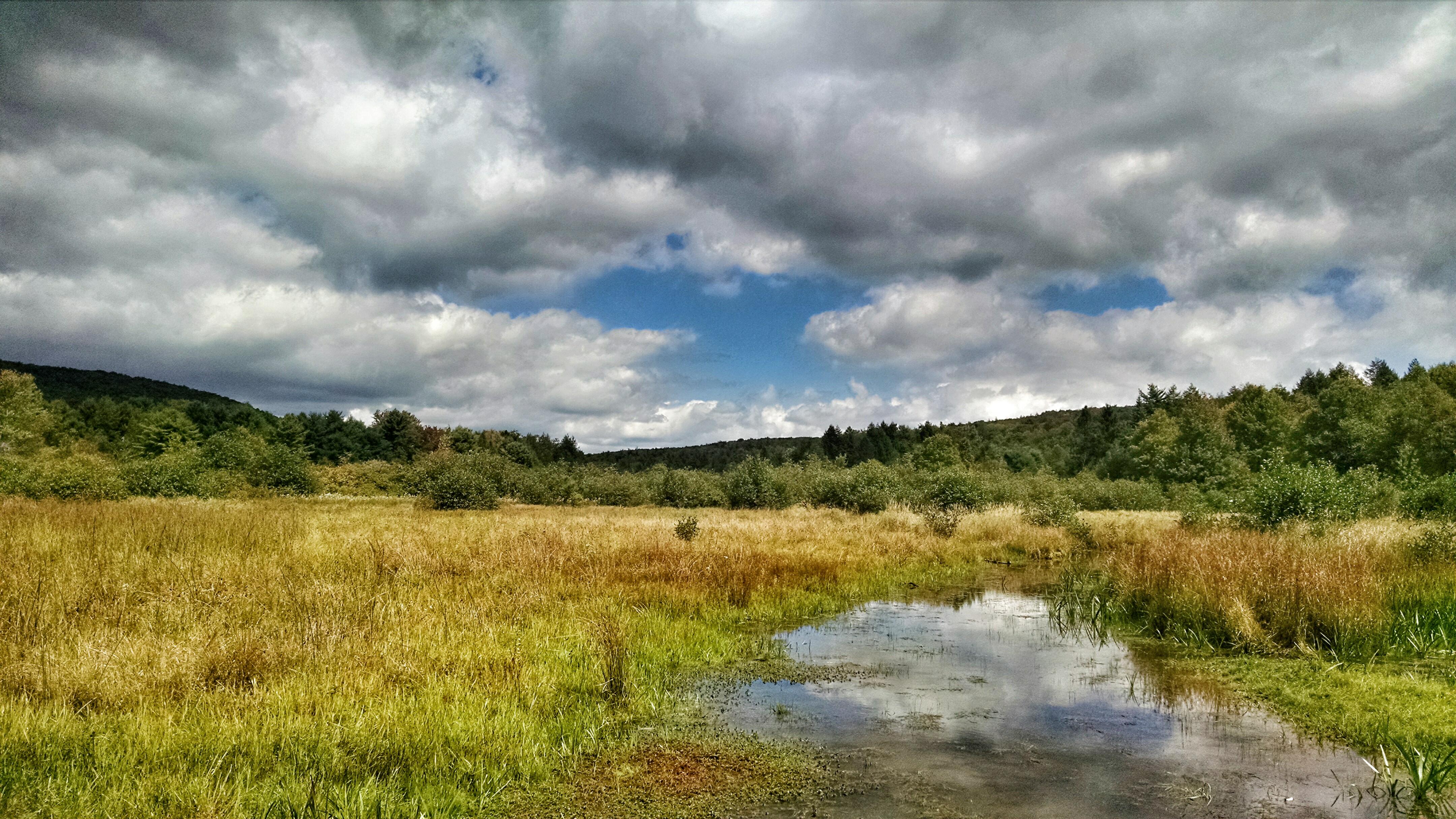
New Germany swamp

Finzel Swamp Nature Preserve MD - 2017-02-06 (11)
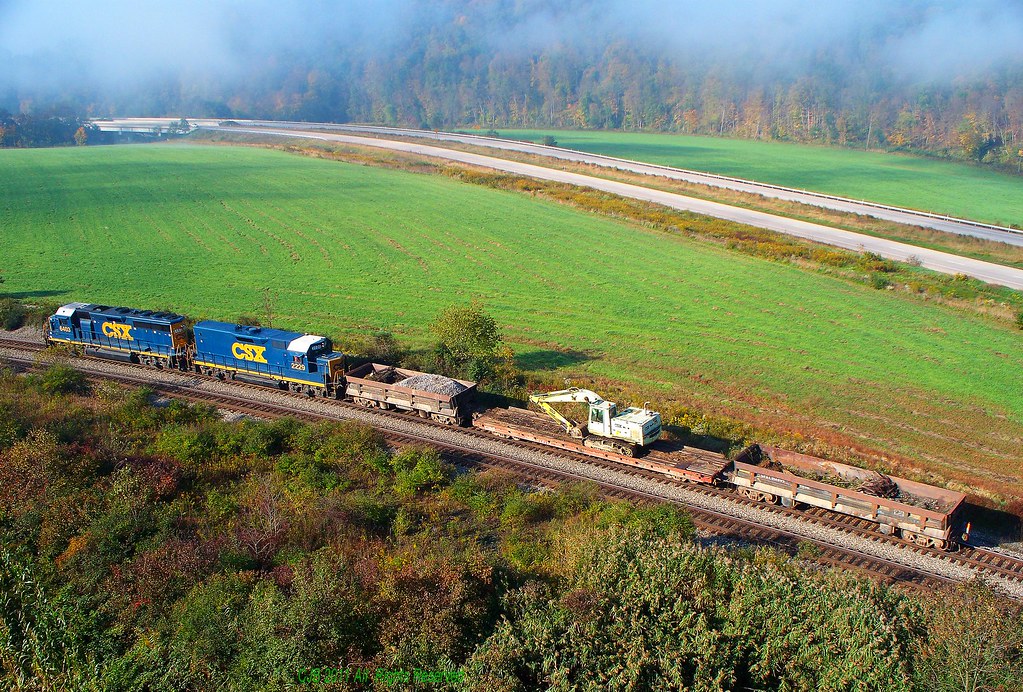
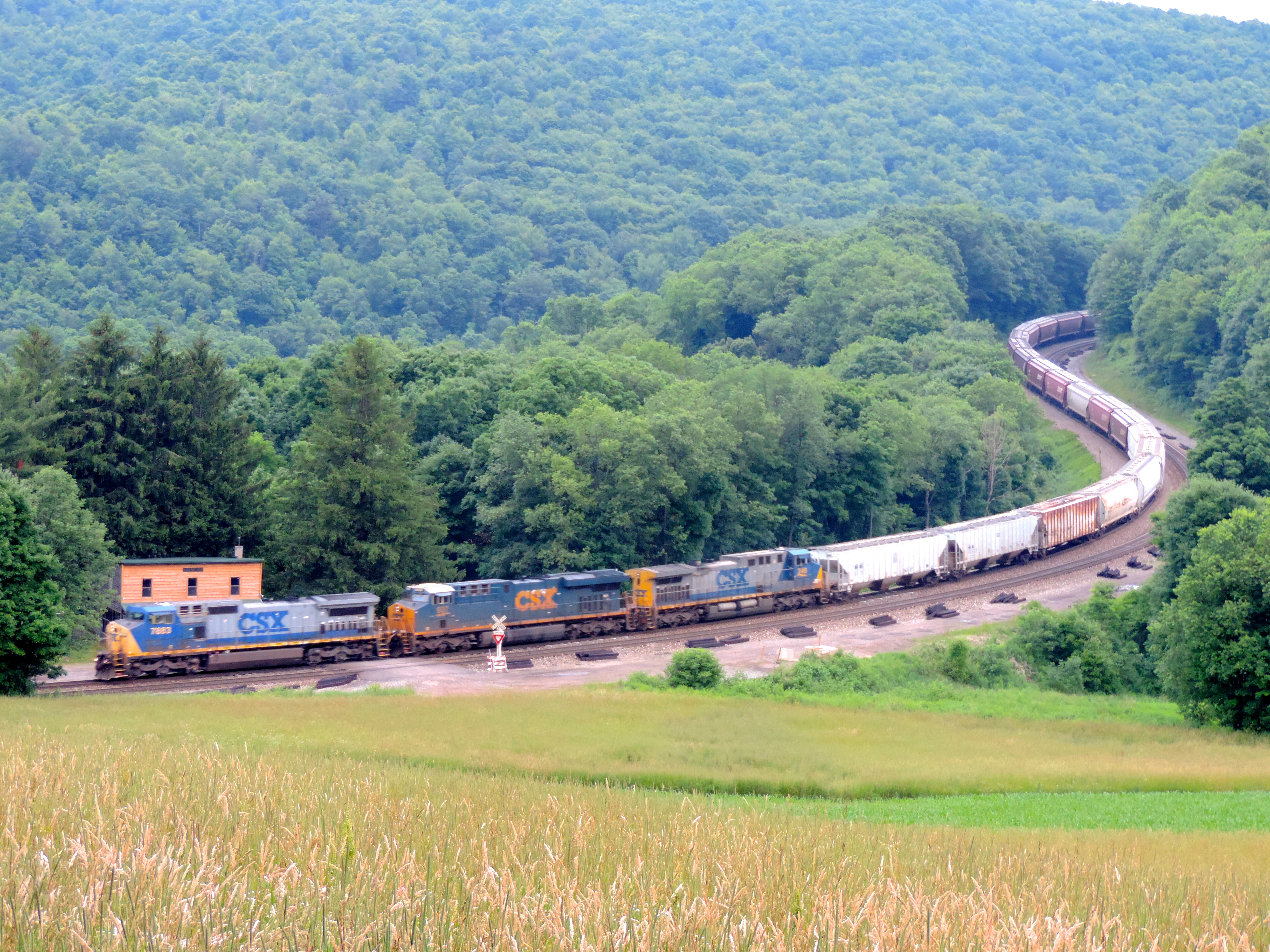
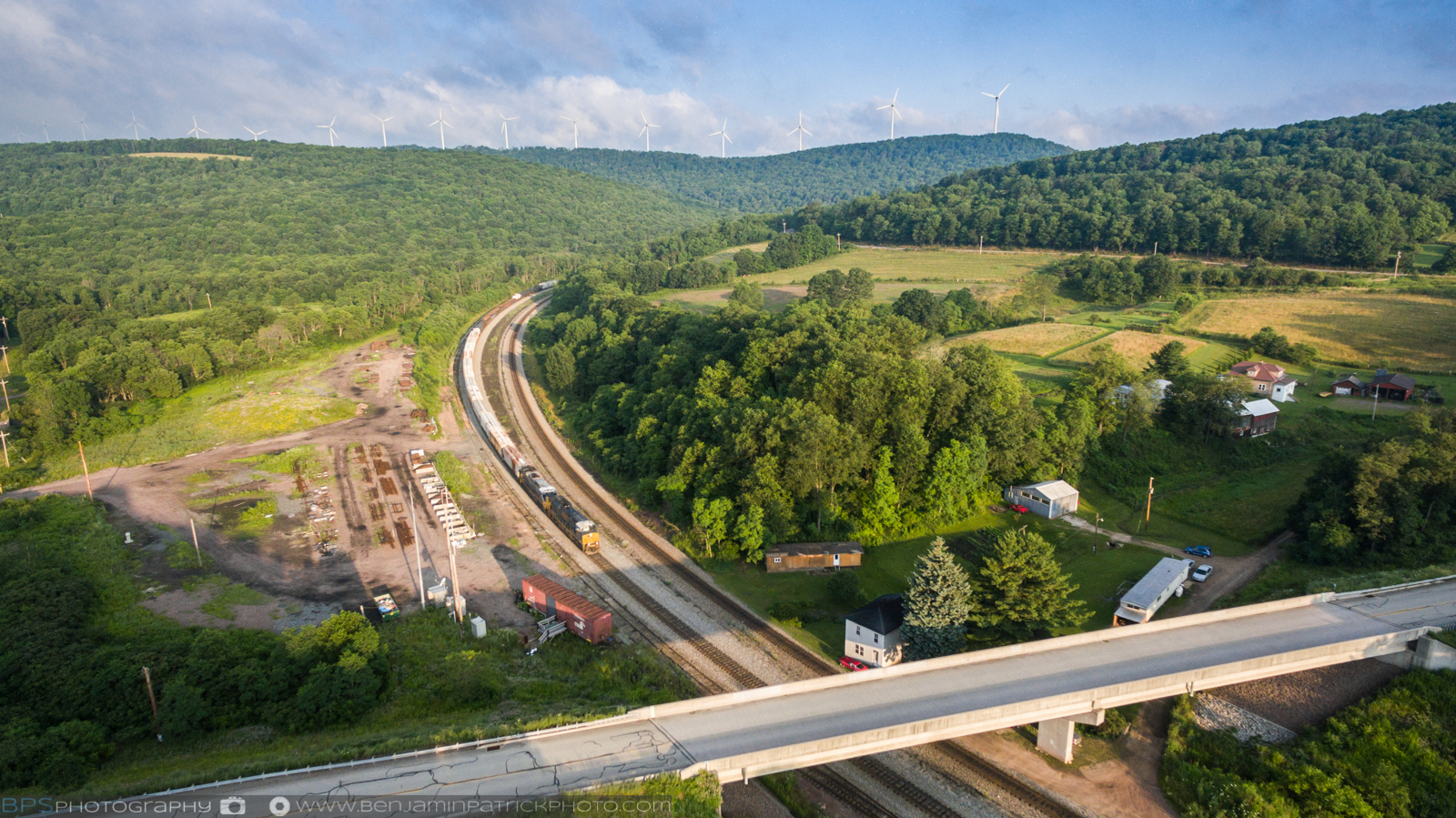
CSX 6403 and 2229 (1)
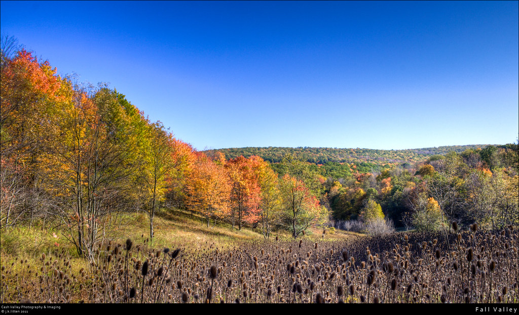
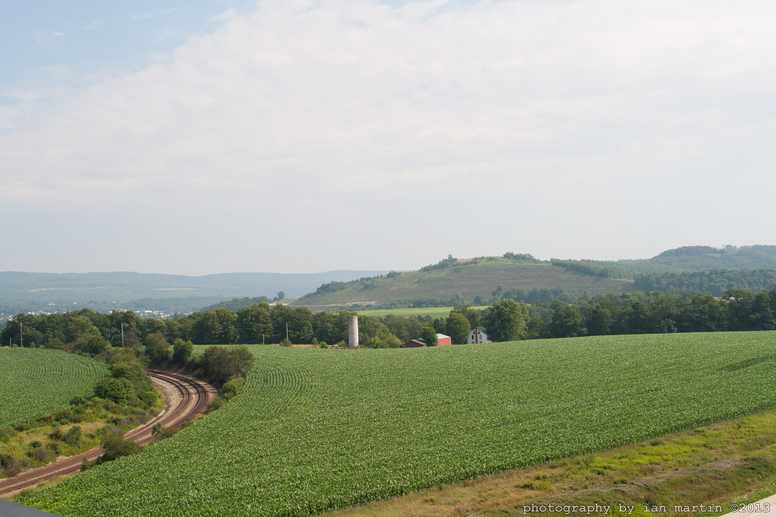
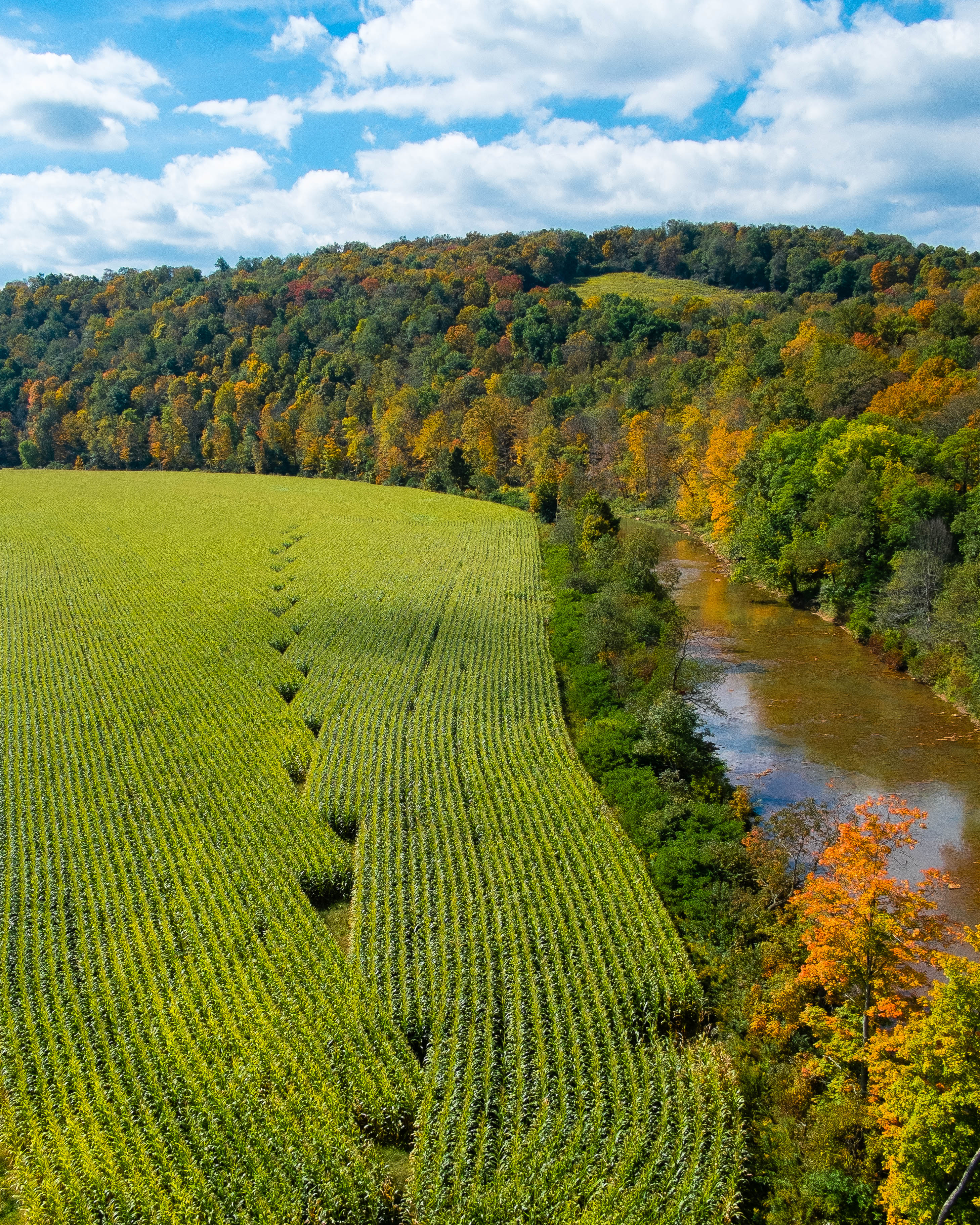
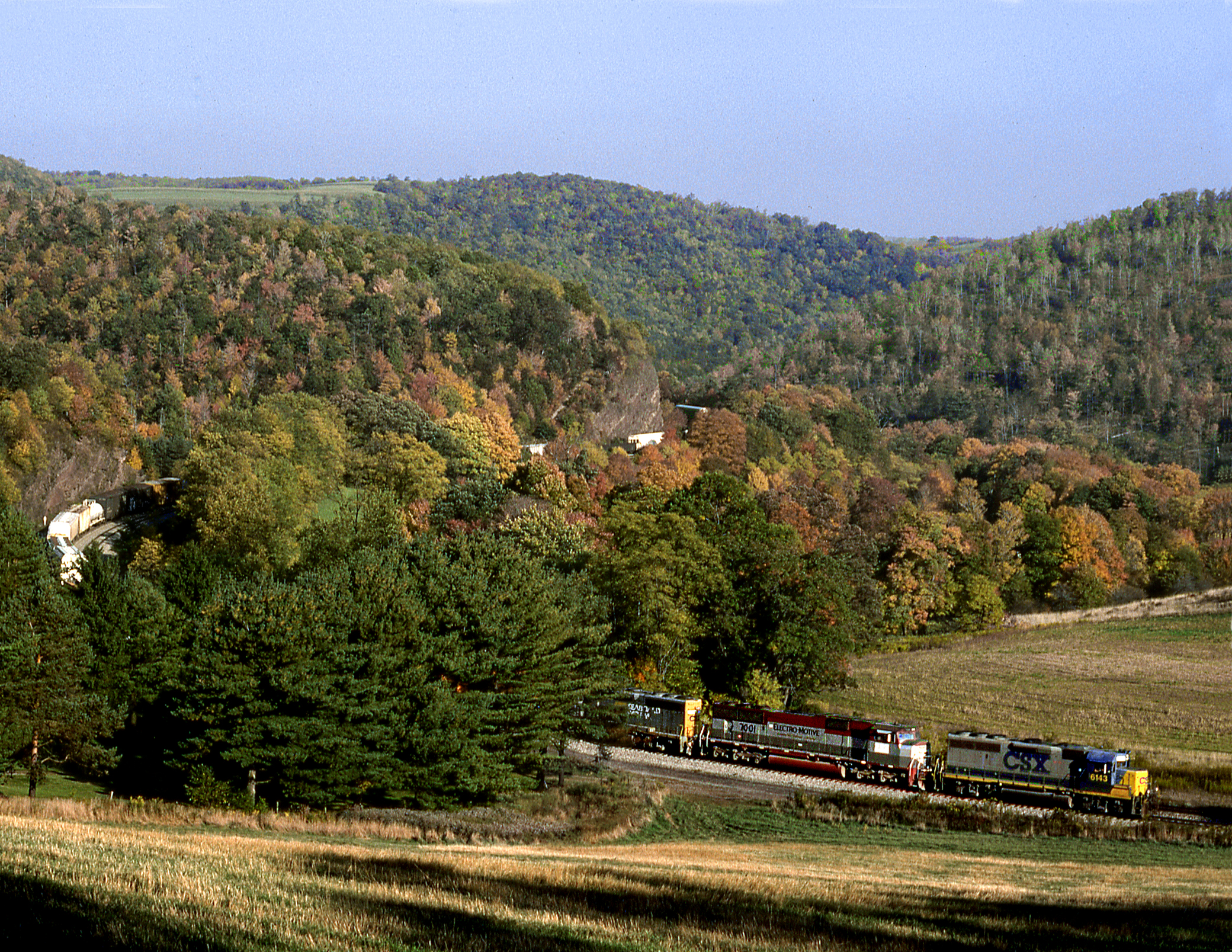
Fall Valley

CSX 6403 and 2229 (2)

Finzel Swamp Nature Preserve MD - 2017-02-06 (33)

fall fire
Hillside Field — Garrett County, Maryland

Finzel Swamp Nature Preserve MD - 2013-09-20 (68)

Finzel Swamp Nature Preserve MD - 2013-09-20 (57)
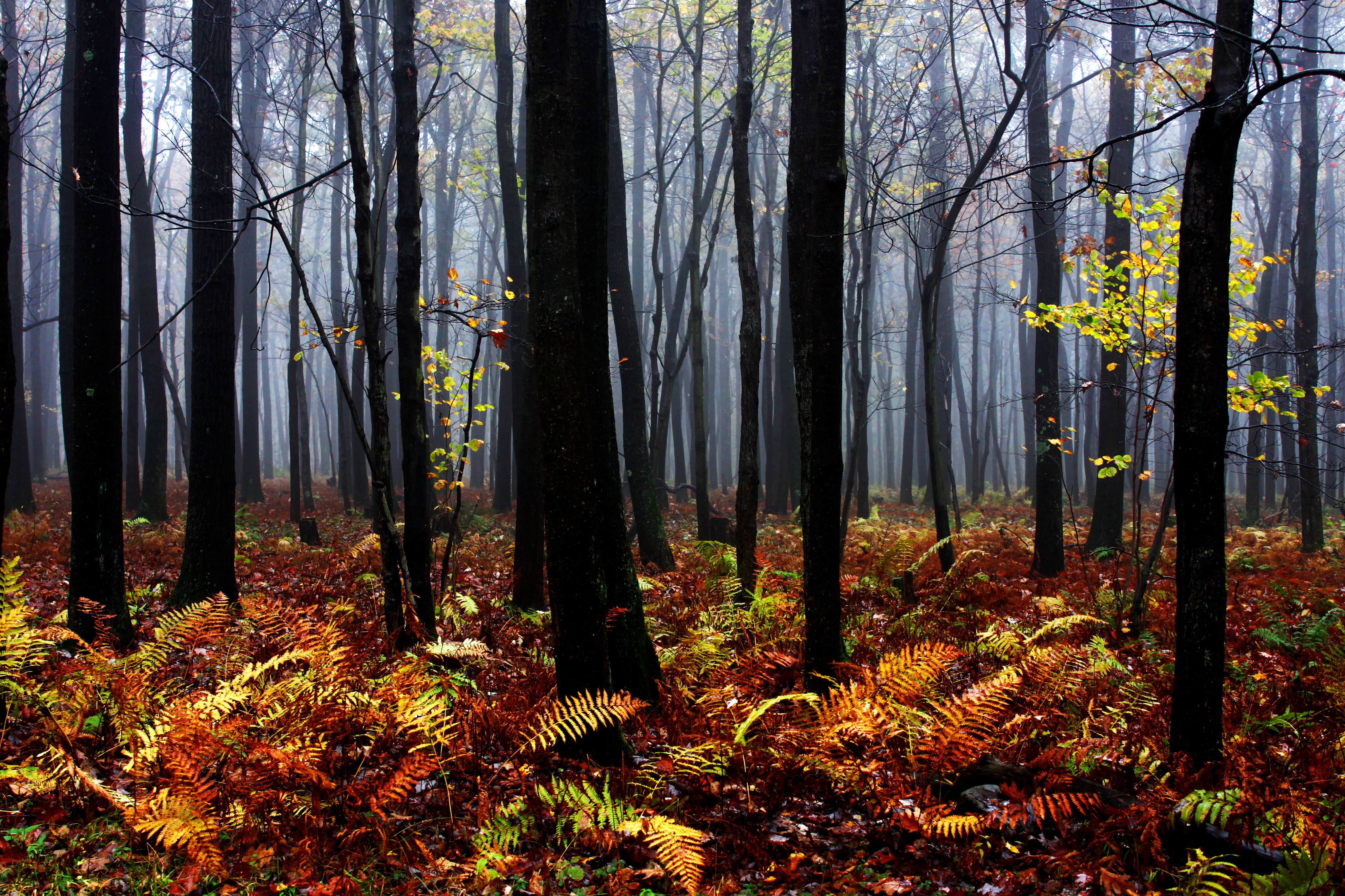
Mysterious Forest

Finzel Swamp Nature Preserve MD - 2013-09-20 (55)
Sand Patch Grade
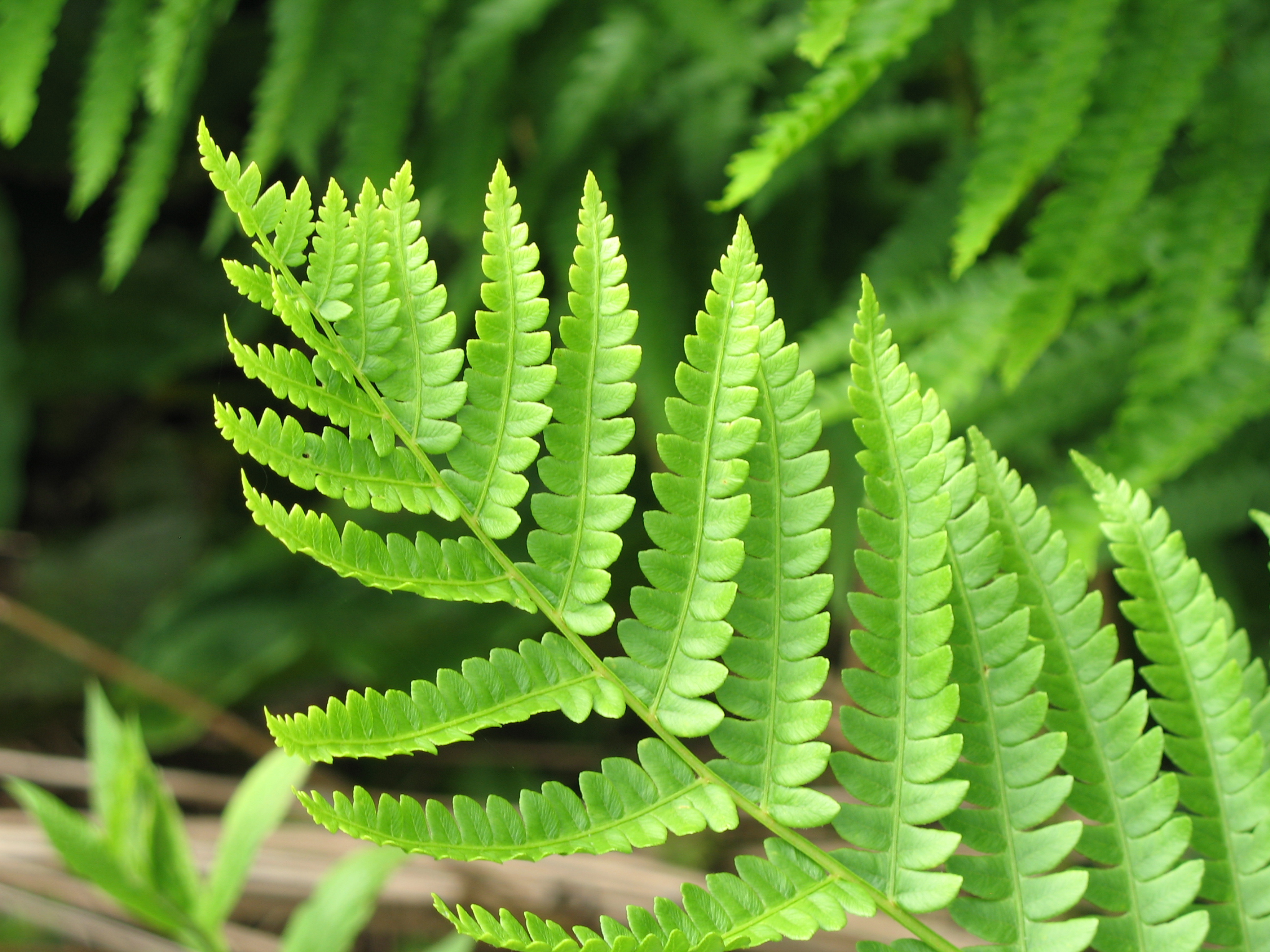
Cinnamon Fern - Osmunda cinnamomea
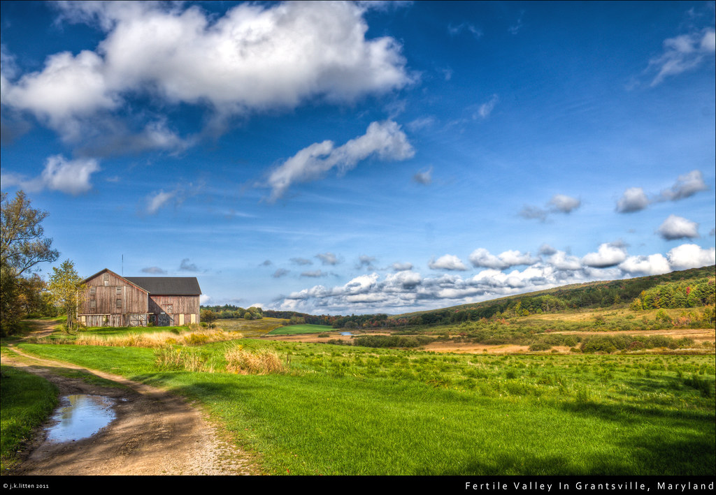
Fertile Valley In Grantsville, Maryland
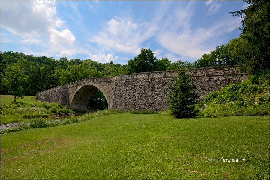
Casselman River Bridge
Manse PA Monday October 6th 1997 1640EDT
Topographic Map of Ord St, Salisbury, PA, USA
Find elevation by address:

Places near Ord St, Salisbury, PA, USA:
Salisbury
West Salisbury
Mount Davis Road
Romania Rd, Meyersdale, PA, USA
1349 Shaw Mines Rd
Mt Davis Rd, Meyersdale, PA, USA
Meyersdale
324 Meyers Ave
510 Main St
Summit Township
Meyersdale, PA, USA
Tulip Ln, Meyersdale, PA, USA
Berkleys Mill Rd, Meyersdale, PA, USA
487 Berkleys Mill Rd
Warrens Mill Rd, Meyersdale, PA, USA
Larimer Township
Brittany Ln, Meyersdale, PA, USA
Walker School Road
Eastern Continental Divide, Great Allegheny Passage
Brush Creek Rd, Meyersdale, PA, USA
Recent Searches:
- Elevation of Congressional Dr, Stevensville, MD, USA
- Elevation of Bellview Rd, McLean, VA, USA
- Elevation of Stage Island Rd, Chatham, MA, USA
- Elevation of Shibuya Scramble Crossing, 21 Udagawacho, Shibuya City, Tokyo -, Japan
- Elevation of Jadagoniai, Kaunas District Municipality, Lithuania
- Elevation of Pagonija rock, Kranto 7-oji g. 8"N, Kaunas, Lithuania
- Elevation of Co Rd 87, Jamestown, CO, USA
- Elevation of Tenjo, Cundinamarca, Colombia
- Elevation of Côte-des-Neiges, Montreal, QC H4A 3J6, Canada
- Elevation of Bobcat Dr, Helena, MT, USA