Elevation of Weir St, Chenoa, IL, USA
Location: United States > Illinois > Mclean County > Chenoa Township > Chenoa >
Longitude: -88.719793
Latitude: 40.74175
Elevation: 220m / 722feet
Barometric Pressure: 99KPa
Elevation Map:
Satellite Map:
Related Photos:

Syd and Gabby

Syd and Gab

Gabby inside the Corn Crib

Sydney and Gabby

Flange-bearing diamond

Sydney with sky Background
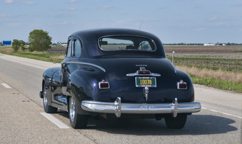
1948 Dodge

panarama35 - Parklands Foundation
2011-09-10 19.09.25

Flange-bearing diamond
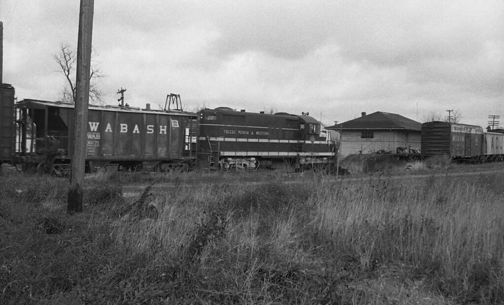
TP&W #600 Chenoa, Illinois #2
2011-09-10 19.24.44
2011-09-10 19.04.52

Syd 16 (Color)
Raymond Shultz Round Barn, Pontiac, IL

Resurfacing Historic Rt. 66

Flange-bearing diamond
Resurfacing Historic Route 66 - II
2011-09-10 19.08.23

Syd (B&W)
2011-09-10 19.07.59
Chenoa, 2013
Camera Roll-689

July Sunset 1
2010-04-27 19.44.47

The Mother Road

Miles and Miles of Corn
Relaxing under a willow
Il. part of route 66 with Jaz and Uncle Scott 2012
Field2-1030623

Rockcress-1030589
Il. part of route 66 with Jaz and Uncle Scott 2012

Lexington, 2015

3/28/13
Day 223/365 Corn Field
Topographic Map of Weir St, Chenoa, IL, USA
Find elevation by address:

Places near Weir St, Chenoa, IL, USA:
Chenoa
Chenoa Township
Church St, Chenoa, IL, USA
Lexington
W Main St, Lexington, IL, USA
19 Peine Dr, Lexington, IL, USA
Lexington Township
28452 County Rd 2150 E
County Road 2150 East
Gridley
W 4th St, Gridley, IL, USA
Gridley Township
Cooksville
Colfax
W Main St, Colfax, IL, USA
Blue Mound Township
N East Rd, Cooksville, IL, USA
Lake Bloomington
Martin Township
Mclean County
Recent Searches:
- Elevation of Lust Road, Lust Rd, Florida, USA
- Elevation of Pleasant Valley Rd NW, Adairsville, GA, USA
- Elevation of Općina Šodolovci, Croatia
- Elevation of Šodolovci, Croatia
- Elevation of Old Clairton Rd, Jefferson Hills, PA, USA
- Elevation of st Ave SE, Lisbon, ND, USA
- Elevation of Steamboat Island Road Northwest, Olympia, WA, USA
- Elevation of Kootenai Trail Rd, Bonners Ferry, ID, USA
- Elevation of Hickory Blvd, Bonita Springs, FL, USA
- Elevation of Lalagbene, Bayelsa, Nigeria