Elevation of Watkins Street, Watkins St, Hayward, CA, USA
Location: United States > California > Alameda County > Hayward >
Longitude: -122.08256
Latitude: 37.6688617
Elevation: 31m / 102feet
Barometric Pressure: 101KPa
Elevation Map:
Satellite Map:
Related Photos:
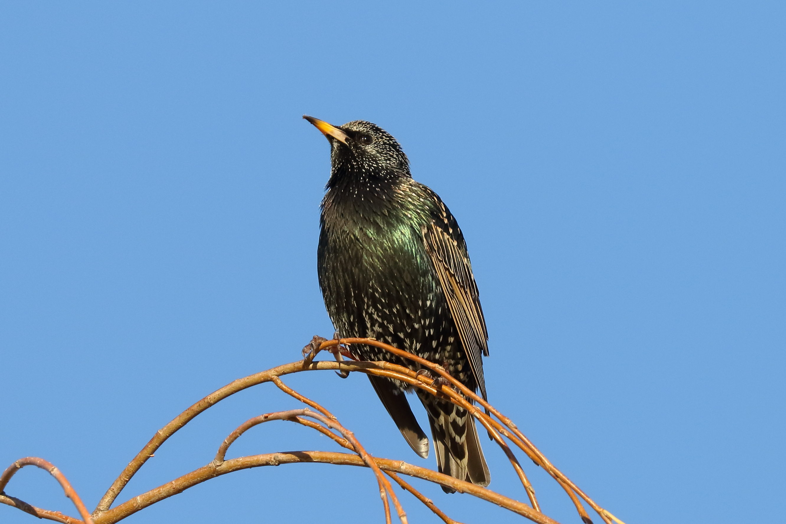
Common Starling / European Starling (Sturnus vulgaris) (adult) (sp. # 201)

Air and water, charging on!

Dumpster's Point of View
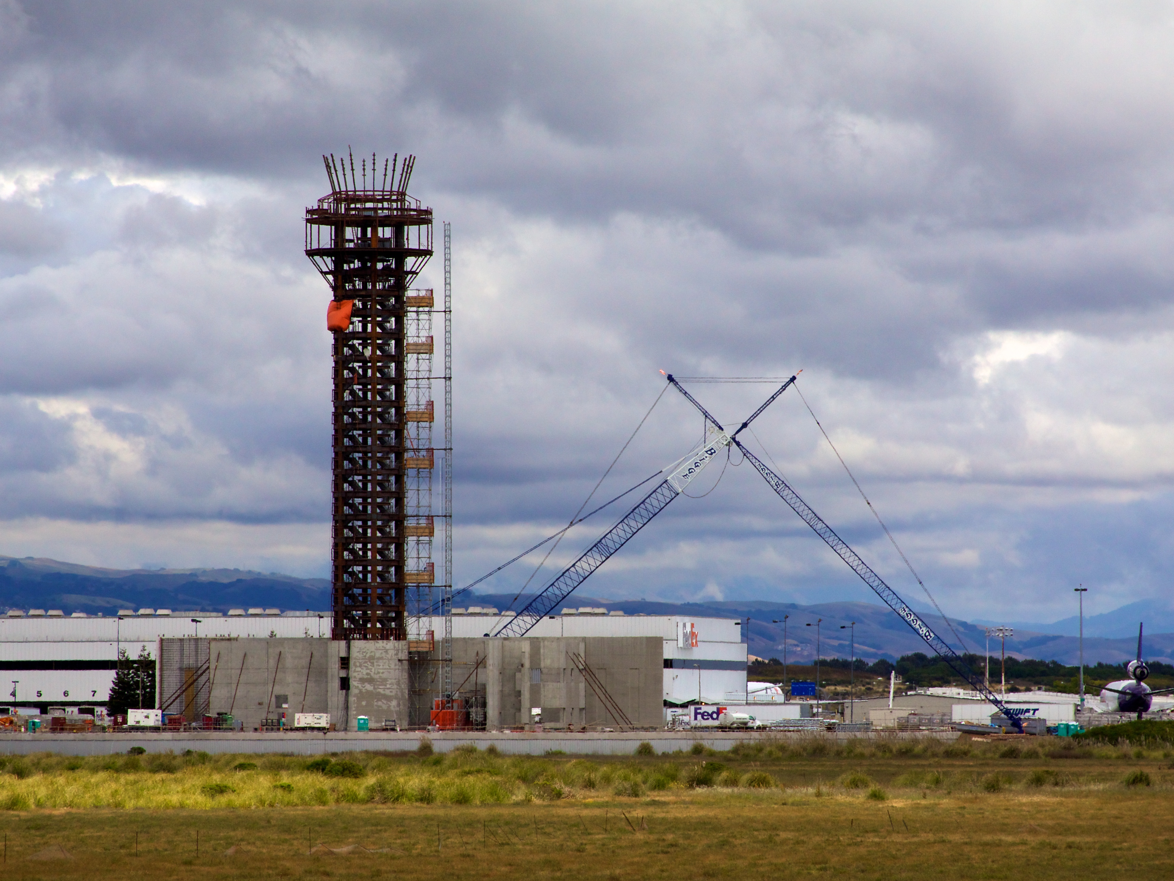
Oakland Tower
Vivid Whispers

Thru the Reeds

Thao and Baby (7/100)
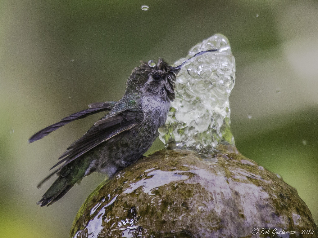
Anna's Hummingbird - The big drink (multiple views)

Almost got it! ~ Cedar Waxwing (Bombycilla cedrorum)

In the middle of grass

Hillcrest 20170718

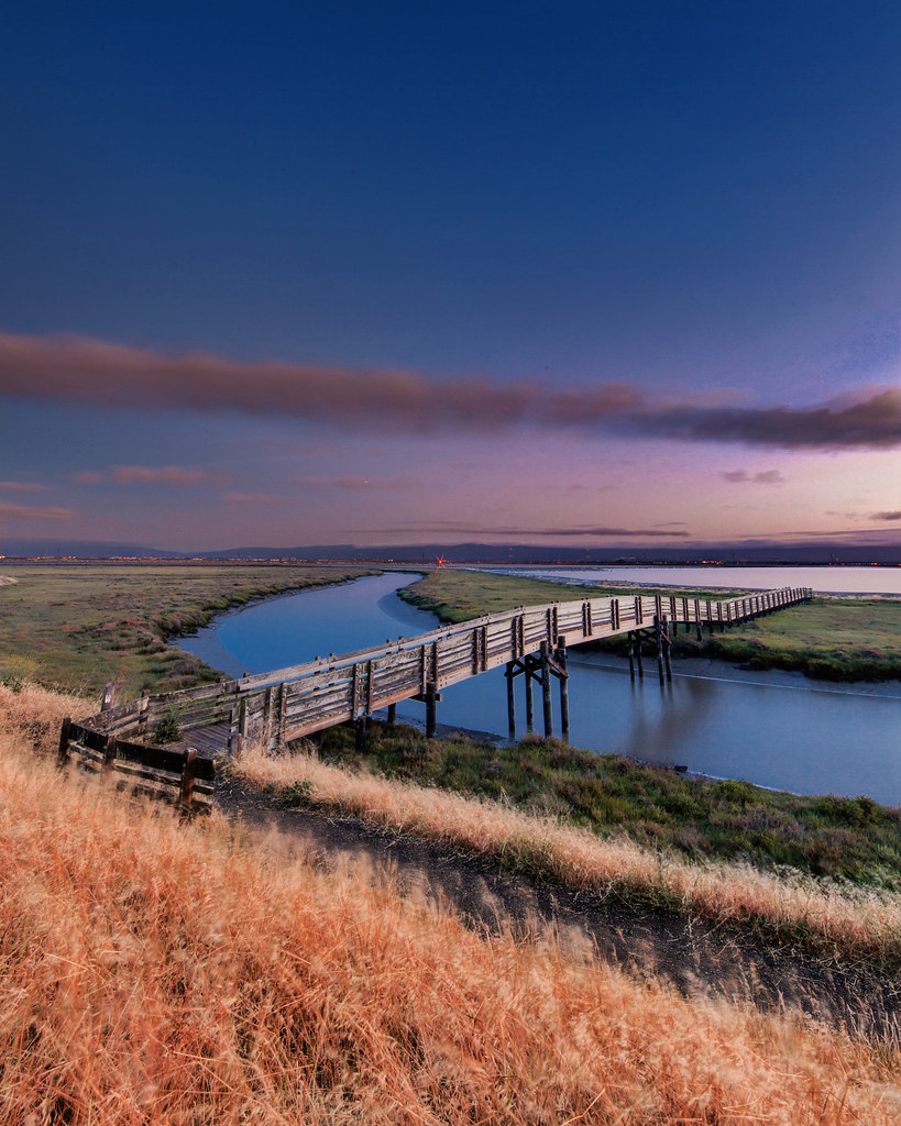
East Creek Slough
Barn Swallow

Fluorescein Dye

I've been to

'out of nowhere'

Empty seats at the stadium

do you dare venture beyond?
Golden Hills

Night View of Tri-Valley
JA Lewis Park 20150326
Sunday's winding down.
Lake Chabot
rain and sun alternating
Lake Chabot
Lake Chabot
IMG_20170325_150349-PANO

Garin Regional Park
Coyote Hills Regional Preserve
Garin 20150227

Mustard field
Something about these hills...remind me of Shrek.
endless e6
Chabot Park
Damon Slough - Eastbay Regional Park District
Lizard Rock in Afternoon Light._
No Name Trail
Grass Valley Trail
San Leandro Bay
Coyoto Hils Marsh No3

Allen's Hummingbird
Topographic Map of Watkins Street, Watkins St, Hayward, CA, USA
Find elevation by address:

Places near Watkins Street, Watkins St, Hayward, CA, USA:
Hayward
24445 Alves St
22284 Montgomery St
Burbank
319 Williams Way
North Hayward
159 Smalley Ave
22416 Meekland Ave
280 W A St
Blossom Way, Hayward, CA, USA
20800 Mission Blvd
Cherryland
20802 Cambridge Ave
Castro Valley
20459 John Dr
2449 Riffel Ct
Gribben Avenue
19825 John Dr
19825 John Dr
19817 John Dr
Recent Searches:
- Elevation of Groblershoop, South Africa
- Elevation of Power Generation Enterprises | Industrial Diesel Generators, Oak Ave, Canyon Country, CA, USA
- Elevation of Chesaw Rd, Oroville, WA, USA
- Elevation of N, Mt Pleasant, UT, USA
- Elevation of 6 Rue Jules Ferry, Beausoleil, France
- Elevation of Sattva Horizon, 4JC6+G9P, Vinayak Nagar, Kattigenahalli, Bengaluru, Karnataka, India
- Elevation of Great Brook Sports, Gold Star Hwy, Groton, CT, USA
- Elevation of 10 Mountain Laurels Dr, Nashua, NH, USA
- Elevation of 16 Gilboa Ln, Nashua, NH, USA
- Elevation of Laurel Rd, Townsend, TN, USA