Elevation of Cambridge Ave, Hayward, CA, USA
Location: United States > California > Alameda County > Hayward >
Longitude: -122.10120
Latitude: 37.6842986
Elevation: 21m / 69feet
Barometric Pressure: 101KPa
Elevation Map:
Satellite Map:
Related Photos:

Hanging with the stones

Lake Chabot

I'm sure this is the spot where she said to meet ...

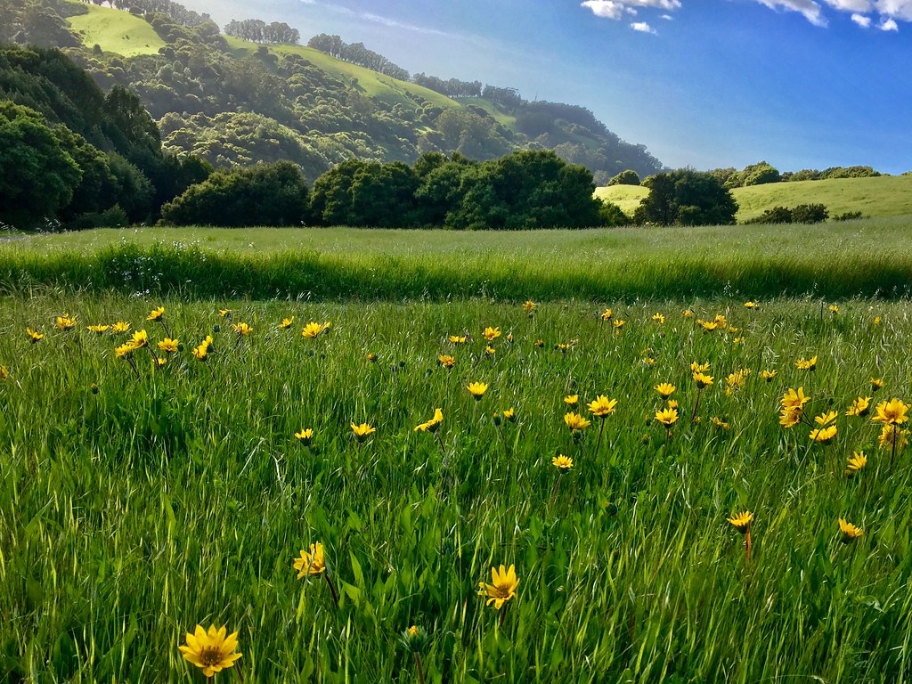
While the Hills are Green!

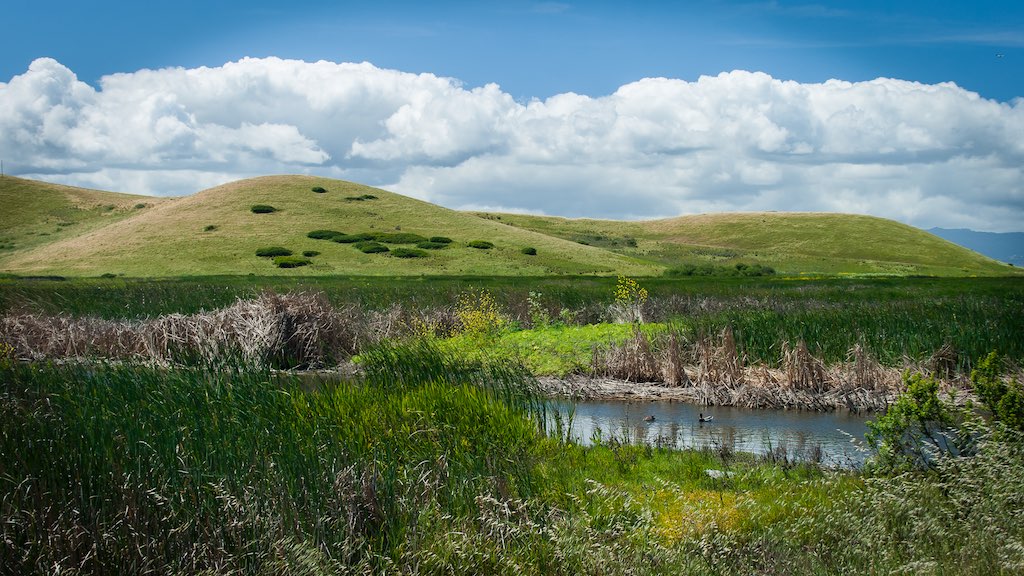
Hayward Regional Shoreline

Lake Chabot
Lake Chabot

Dry lake bed (California's drought)

Lake Chabot

Garin Regional Park

Footprints in the Sand [Explored]

Poppies, Lupines and Rocks

Golden-crowned Sparrow (1st winter)
A Spring Day in Coyote Hills

Coyote Hills Regional Preserve

Coyoto Hils Marsh No3
Las Trampas

American Pipit

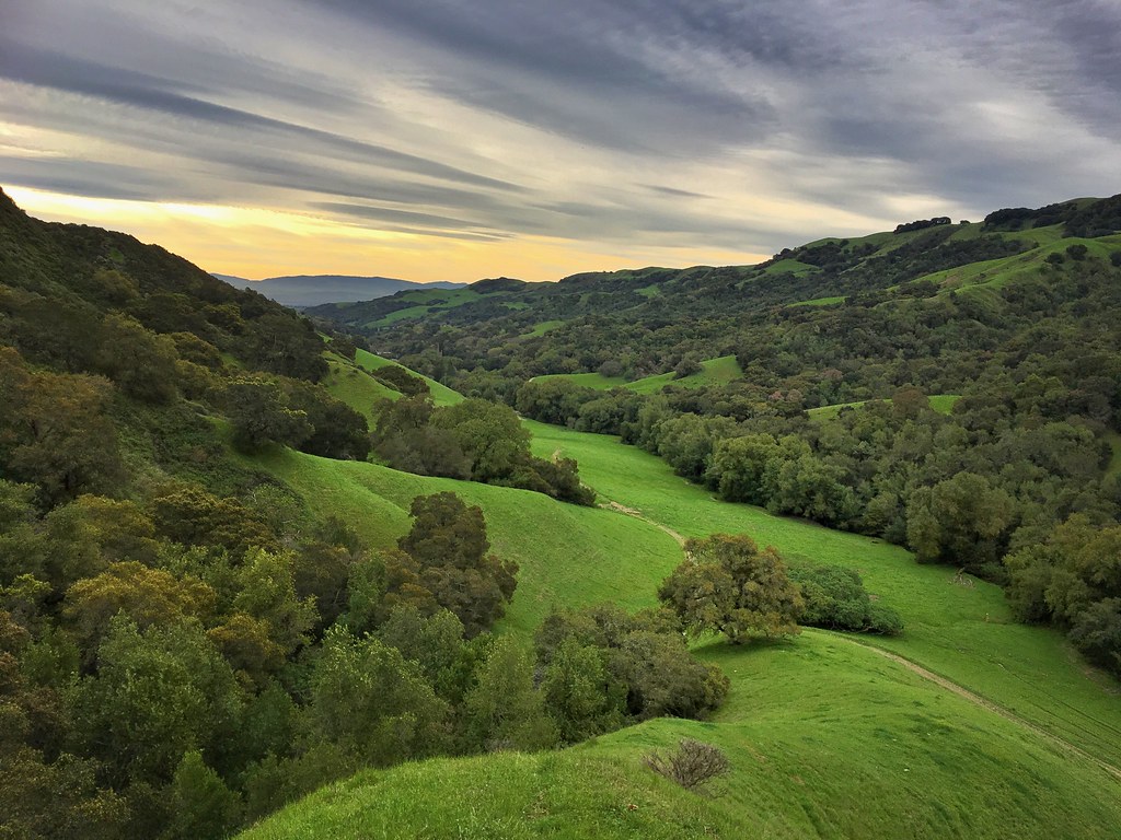
Anthony Chabot Regional Park

Least Sandpiper

Black Phoebe
Topographic Map of Cambridge Ave, Hayward, CA, USA
Find elevation by address:

Places near Cambridge Ave, Hayward, CA, USA:
20800 Mission Blvd
Cherryland
Blossom Way, Hayward, CA, USA
20459 John Dr
North Hayward
16780 Hannah Dr
2449 Riffel Ct
19825 John Dr
19825 John Dr
19817 John Dr
Gribben Avenue
19800 John Dr
19808 John Dr
16533 Hannah Dr
E 14th St, San Leandro, CA, USA
330 Ano Ave
22284 Montgomery St
159 Smalley Ave
22416 Meekland Ave
16675 Kildare Rd
Recent Searches:
- Elevation of Congressional Dr, Stevensville, MD, USA
- Elevation of Bellview Rd, McLean, VA, USA
- Elevation of Stage Island Rd, Chatham, MA, USA
- Elevation of Shibuya Scramble Crossing, 21 Udagawacho, Shibuya City, Tokyo -, Japan
- Elevation of Jadagoniai, Kaunas District Municipality, Lithuania
- Elevation of Pagonija rock, Kranto 7-oji g. 8"N, Kaunas, Lithuania
- Elevation of Co Rd 87, Jamestown, CO, USA
- Elevation of Tenjo, Cundinamarca, Colombia
- Elevation of Côte-des-Neiges, Montreal, QC H4A 3J6, Canada
- Elevation of Bobcat Dr, Helena, MT, USA