Elevation of Ano Ave, San Lorenzo, CA, USA
Location: United States > California > Alameda County > San Lorenzo >

Longitude: -122.11637

Latitude: 37.6886122

Elevation: 14m / 46feet

Barometric Pressure: 101KPa

Elevation Map:

elevation map of Ano Ave, San Lorenzo, CA, USA
Satellite Map:

Satellite map of Ano Ave, San Lorenzo, CA, USA

Related Photos:

oakland california eastbay alamedacounty july 2016 boury pbo31 nikon d810 over view dark night dusk city urban traffic lightstream motion color highway red 580 freeway expressway hillcrestknolls 150th overpass roadway black
150th avenue
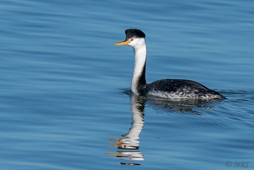
sanleandro california unitedstatesofamerica sanleandromarina clarksgrebe nature northerncalifornia birds bayarea
Just Hangin Out
sundaylights причал pier лодка boat дворик patio берег coast природа nature flora парк park красивый beautiful beaty cool цвет colour синий голубой blue зелёный green растение plant прогулка walk наслаждаться enjoy пруд pond река river вода water отражение reflection небо sky alameda california
Waterland. Bay Farm Lagoon. Bay Farm Island. Alameda. San Francisco Bay Area,
yellowrumpedwarbler warbler setophagacoronata 1stwinter coyotehills coyotehillspark 1stwinterbird bird passerinebird passerine passeriformes fremont california ca canon7dii sp167 donedwardsnationalwildliferefuge myrtlewarbler
Yellow-rumped Warbler (Setophaga coronata) (sp. # 167)
sanfrancisco california bridge blue panorama color skyline oakland nikon december view over large panoramic baybridge bayarea eastbay 80 stitched alamedacounty 2015 boury pbo31 d810 lincolnhighlands
bay cities ll
whitetailedkite whitetailed kite raptor bird birdinflight birdofprey elanus leucurus elanusleucurus coyotehills coyotehillspark fremont california juvenilebird juvenile sp186 blue bluesky sky
White-tailed Kite (Elanus leucurus) (sp. # 186)
coyotehillsregionalpark fremont california ebparksok pelicantrail iphonese coyotehills
view from Pelican Trail
alamedacounty arrowheadmarsh barnswallow birds california eastbay hirundorustica northerncalifornia swallows coth
Barn Swallow
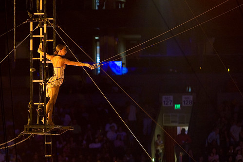
california usa america oakland unitedstates circus unitedstatesofamerica eastbay trapeze ringlingbros ringlingbrothers fav10 oaklandcollesium ringlingbrothersbarnumbaileycircus
Living Proof
sanfrancisco california city sunset dublin orange west color skyline nikon view over bayarea april eastbay alamedacounty 2016 suburbian boury pbo31 d810
suburbian trails
california tower cali oakland fly flying airport oak traffic control aviation air international norcal fedex municipal faa koak
Oakland Tower
street blue trees usa house brick green ford lamp station clouds trash dumpster truck fire graffiti 1 us am garbage escape cloudy pov pavement teal balcony c united mason parking main lot pickup grand tags engines pontiac walls states hayward hybrid hdr mostviewed1 mostviewed7 mostviewed6 mostviewed10
Dumpster's Point of View
bayarea california nikon d810 color october 2018 fall boury pbo31 over view night dark black dublin pleasanton lightstream traffic 580 eastbay alamedacounty exchange highway motion red exit ramp infinity theater imax regal overpass 680
highway 580 / 680 exchange
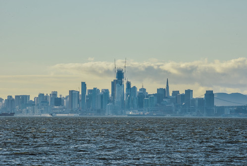
bayarea california nikon d810 color march 2017 winter boury pbo31 bayfarmisland alameda eastbay alamedacounty sanfrancisco city skyline bay sunset sky salesforce construction silhouette transamerica urban over view clouds water haze ferry blue
hazy winter layer
ambience atmosphere california car city d700 dusk evening light mood nikon oakland road sign sky street traffic usa 旅遊 旅遊攝影 美國
I've been to
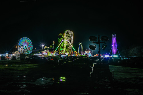
bayarea california nikon d810 color march 2017 winter boury pbo31 lightstream motion night dark black spinning carnival fair rides traveling spin butler amusements oakland eastbay alamedacounty over view spotlight parkinglot mud wet motionblur ferriswheel silhouette reflection puddle
butler spotlights
america california eastbay mountainviewcemetery oakland usa unitedstates unitedstatesofamerica angel cemetery fav10 fav25
Someone I Once Knew
moonlight moon waterreflection sanfrancisco sfist
San Francisco moonlight
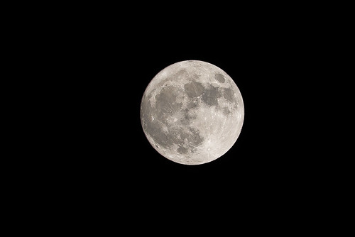
80400mmf4556dvr afvrzoomnikkor80400mmf4556ded astrophotographie astrophotography country darksky galaxies galaxy highiso lens lightpollution longexposure longtimeexposure lua luna lune maan moon měsíc mặttrănglớn nikkor nikkor80400mm nikkor80400mmf4556dafvred nikkorlens nikon photography planets rural star stars sun superlune supertelephoto superluna supermoon telephoto ay måne mặttrăng perigeesyzygyoftheearth–moon–sunsystem φεγγάρι а́строфотогра́фия а́строгра́фия астрономи́ческаяфотогра́фия луна عکاسینجومی قمرعملاق قَمَرٌ खगोलीयफोटोग्राफी พระจันทร์ スーパームーン ニッコール 固定撮影 天体 天体写真 天文写真 天文攝影 彗星 恒星 惑星 星団 星座 星景写真 星雲 月 月亮 衛星 超級月亮 長時間露光 달 슈퍼문 천체사진술
Super Moon, November 14th, Oakland, California, USA
oakland eastbay alamedacounty nikon d810 color night dark black february 2019 boury pbo31 city urban lightstream traffic motion sanfrancisco skyline salesforce over view eastmont baybridge
city lights in the distance ll
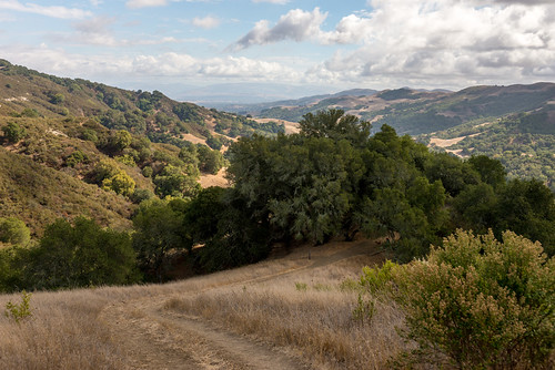
2870 alamedacounty alamo america bayarea berkeley bollingercreek california californiastate contracostacounty d610 danville ebmud eastbay eastbayregionalparkdistrict estadosunidos eugeneoneillnationalhistoricsite fotografíadepaisaje fullframe landscape landscapephotography lastrampas lastrampasregionalwilderness lastrampasridge lens moraga nikkor nikkor2870mmf28d nikkor2870mmf28dedifafszoomlens nikon nikond610 norcal northamerica northerncalifornia oakland paisaje photography professionallens regionalpark regionalwilderness rockyridge sfbay sanfrancisco sanfranciscobayarea thetraps travel travelphotography traveling travels usa unitedstates unitedstatesofamerica viaje westcoast westoakland yermoregionallastrampas astbaymunicipalutilitydistrict thetoughguyoftheeastbayregionalparkdistrict アメリカ合衆国 カリフォルニア サンフランシスコ ニコン ニッコール 加州 北カリフォルニア 北米 米国 美国 西海岸 風景 風景写真 dry seco drought
Chamise Trail, Las Trampas Regional Wilderness, California, USA
redwoodroad alemedacounty greenhills clouds
While the Hills are Green!
ebparksok
Hayward Regional Shoreline
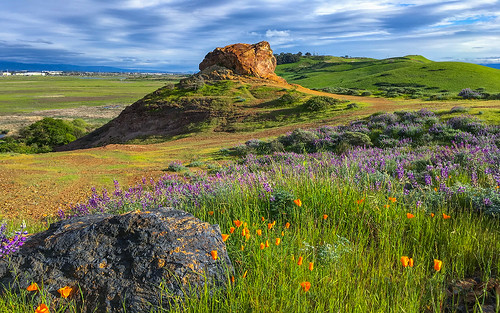
coyotehillsregionalpark fremont california ebparksok ch
Poppies, Lupines and Rocks
crepuscular rays redwoods ebparksok eprpd oakland canon t2i 550d stickneydesign lifelover4 efs1755mmf28isusm sequoiasempervirens ebmud explore explored interesting interestingness dpsbest2011 hike hiking nature outdoors california usa tpslandscape ebrpd sfgate stock hughstickney
Caught Up In The Rapture
ca flower field clouds landscape cloudy hill bluesky fremont hills sanfranciscobayarea greenery eastbay willows coyotehills fremontca eastbayregionalparks cloudseastbay
A Spring Day in Coyote Hills
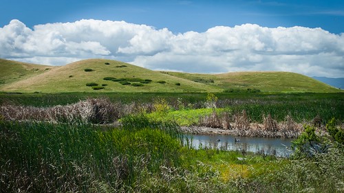
ca california cloud clouds cloudseastbay coyotehills eastbay eastbayregionalparks fremontca landscape marsh marshland sanfranciscobayarea water wildlife winter
Coyoto Hils Marsh No3
ebparksok
Las Trampas
americanpipit mlkjrregionalshoreline arrowheadmarsh oakland california unitedstates us
American Pipit
ca california clouds coyotehills eastbayregionalparks fremont fremontca grassland lizardrock pond sunset winter
Lizard Rock Sunset
ebparksok
Lake Chabot
coyotehillsregionalpark fremont california
a glorious morning
lifelover4 canon t2i 550d 1020mm 130 f35 redwood trees canyon california ca usa fog mist oakland huckleberry pinehurst efs1022mmf3545usm circularpolarizer sanleandrocreek sequoiasempervirens stickneydesign rays explore explored interesting interestingness ebparksok crepusculars californiatnc11 hike hiking nature outdoors ebrpd hughstickney
Canyon Redwoods at Sunrise
ridge ramage bayarea northern california
Hanging with the stones
ebparksok
Lake Chabot
spottedsandpiper elsieroemerbirdsanctuary
I'm sure this is the spot where she said to meet ...
ebparksok
rain and sun alternating
ebparksok
Lake Chabot
ebparksok
Lake Chabot
california us unitedstates fremont coyotehillsregionalpark
Dry lake bed (California's drought)
ebparksok
Garin Regional Park
california sunset oakland sand san francisco samsung explore galaxy alameda footprint
Footprints in the Sand [Explored]