Elevation of John Dr, Castro Valley, CA, USA

Location: United States > California > Alameda County > Castro Valley >

Longitude: -122.09533

Latitude: 37.6968474

Elevation: 124m / 407feet

Barometric Pressure: 100KPa

Elevation Map:

elevation map of John Dr, Castro Valley, CA, USA

Satellite Map:

Satellite map of John Dr, Castro Valley, CA, USA

Related Photos:

pink blue sky sun flower canon star ii 7d wheats 1635mm project365 photobycindy
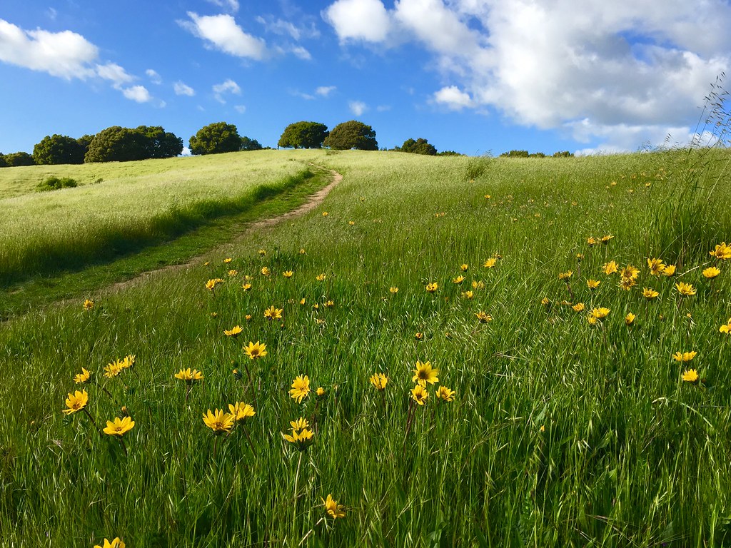
In the middle of grass
adobelightroom adobephotoshop alamedacreeknorthtrail allrightsreserved autumnfall ca cal calif california canoneos5d canonef28to200mmf35to56usm fremont labchannelcolorenhancement nikcolorefexpro nikfilters niksharpenerpro northamerica raworiginals sanfranciscobay thanksgiving us usa unitedstates bays copyrighted digitaloriginal geotagged marsh mountainshills outdoors water wetlands
San Francisco from Alameda Creek, Fremont
street blue trees usa house brick green ford lamp station clouds trash dumpster truck fire graffiti 1 us am garbage escape cloudy pov pavement teal balcony c united mason parking main lot pickup grand tags engines pontiac walls states hayward hybrid hdr mostviewed1 mostviewed7 mostviewed6 mostviewed10
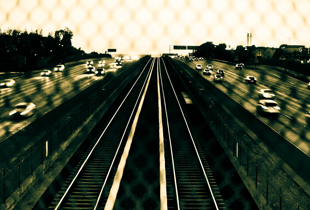
Dumpster's Point of View
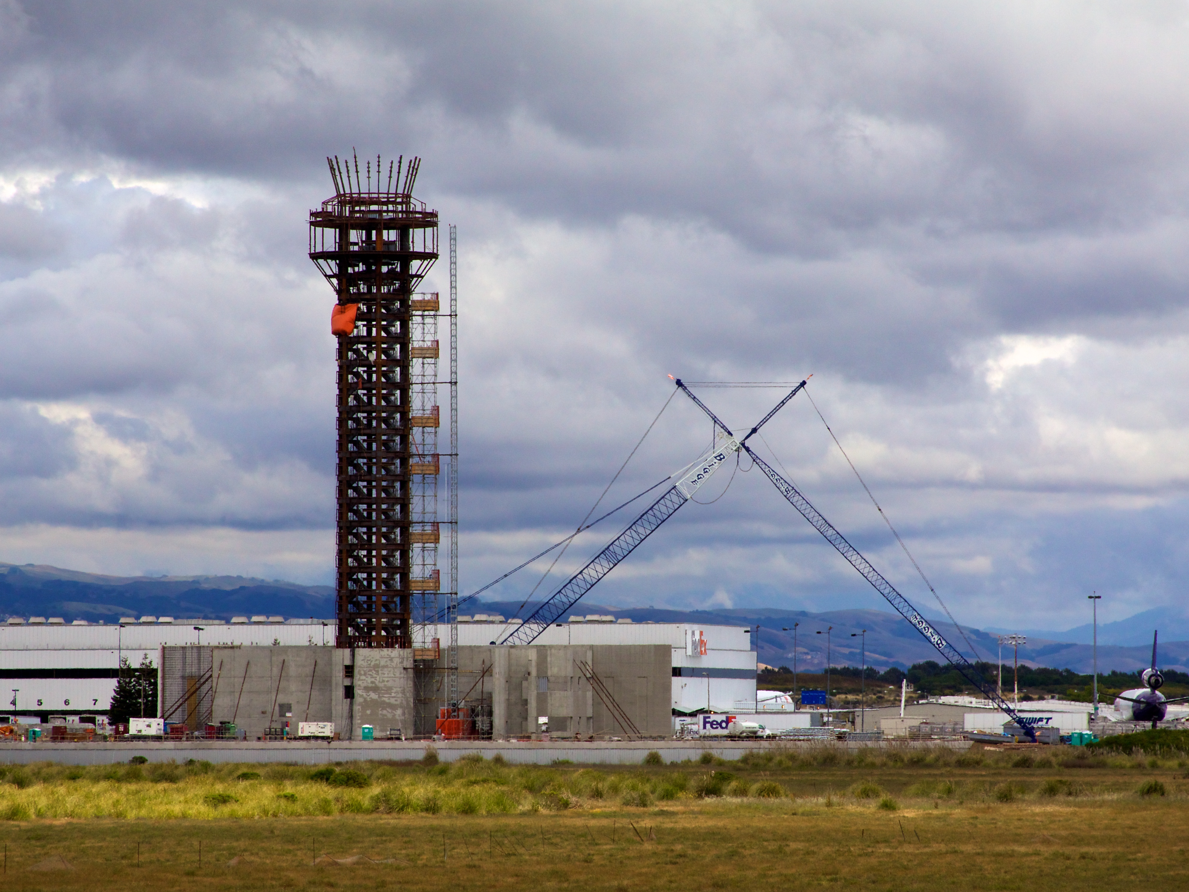
california tower cali oakland fly flying airport oak traffic control aviation air international norcal fedex municipal faa koak
Oakland Tower
california sunset temple oakland twilight mormon lds latterdaysaints
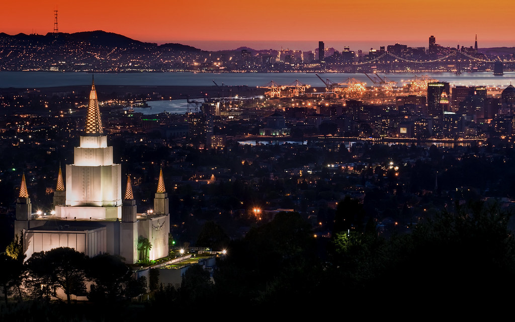
Oakland Temple at Sunset
california sunset fountain temple oakland twilight dusk mormon bluehour lds latterdaysaints houseofthelord
Oakland Temple at Twilight
alameda alamedacity alamedacounty america architecturalphotography architecturalrevivalstyle architecturalstyle architecture architecturevictorienne architekturfotografie arquitecturavictoriana bay bayarea berkeley building california californiastate eeuu eastbay estadosunidos norcal northamerica northerncalifornia oakland revival revivalarchitecture sfbay sanfrancisco sanfranciscobayarea sea structure usa unitedstates unitedstatesofamerica victorian victorianarchitecture water westcoast westoakland архитектурнаяфотография عمارةفكتورية アメリカ合衆国 カリフォルニア サンフランシスコ 加州 北カリフォルニア 北米 建築 建築写真 米国 美国 西海岸 건축사진
Victorian Houses, Alameda, California, USA
california blue wallpaper church architecture clouds temple photography gold lights oakland evening twilight nikon long exposure day dusk religion saints tokina mormon lds 1224mm latterdaysaints latter d90 mattgranz
The Oakland Temple Glow
eastbay alamedacounty bayarea california may 2017 spring boury pbo31 color black dark night oakland over view city urban lightstream traffic motion roadway nikon d810 skyline caballohills millscollage easternspan baybridge bridge 80 portofoakland downtown 580 leonaheights
mills skyline
jetli cats kittens vet eyeproblem
Fluorescein Dye
2015 hayward jalewispark view
JA Lewis Park 20150326
california road street city light sky usa car sign oakland evening nikon mood traffic dusk atmosphere ambience d700
I've been to
sanfrancisco california bayarea color nikon d810 february 2017 winter boury pbo31 oakland kingestate over view rain storm overcast city baybridge bridge rooftops gray lightstream traffic cloudy urban panoramic large stitched panorama oakknoll
king estate stormy sky panorama
california fav50 unioncity minimalist hdr 3xp photomatix nex6 sel55210 loganstadium
Empty seats at the stadium
california nightphotography dublin moon eastbay hdr canon500d interstate580
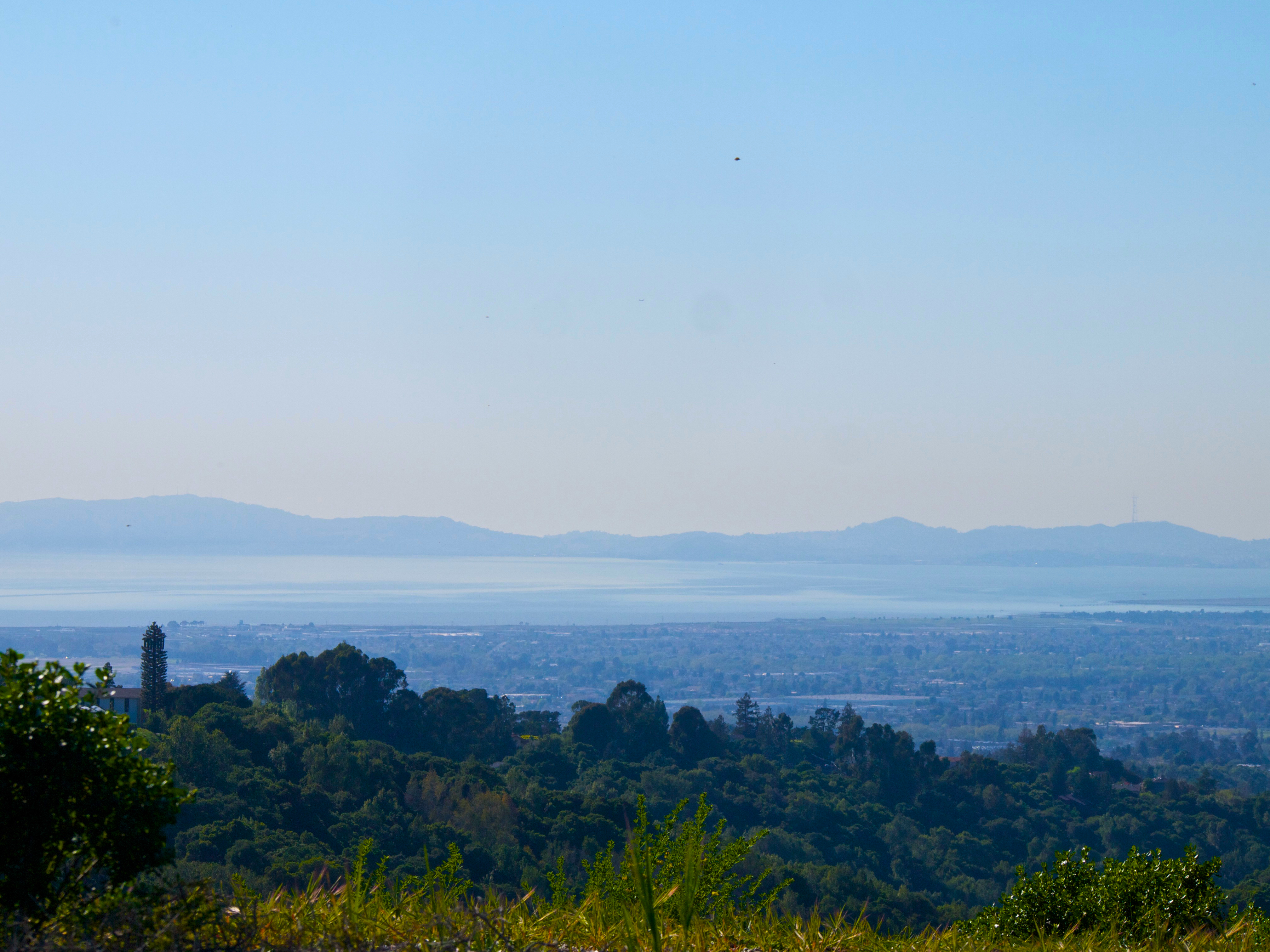
Night View of Tri-Valley
halloween creepy spooky handheld ardenwood vob muhuhahahahaha extremelowlightshotsprocessedextensivelyinphotoshoptogetyouinthemoodforhalloween
do you dare venture beyond?
california usa america oakland unitedstates circus unitedstatesofamerica eastbay trapeze ringlingbros ringlingbrothers fav10 oaklandcollesium ringlingbrothersbarnumbaileycircus
Living Proof
california above park summer sky orange brown color northerncalifornia yellow nikon track publictransportation view purple metro bart august latenight transit commute bayarea eastbay unioncity d200 southbay 2008 skyway bartstation traffictrails lightstream
park and ride
square squareformat iphoneography instagramapp uploaded:by=instagram
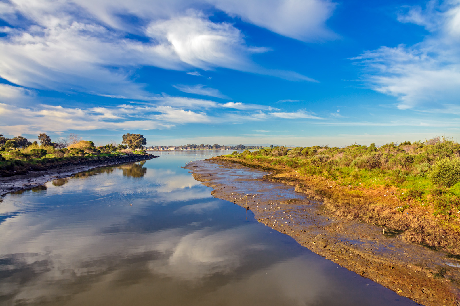
That trail on the left is the start of the out & back segment of the #CoyoteHills 1/2 Marathon course. It was hard to resist going out there again for another lap during my 2nd pass on the course today. These views are amazing out here. #SeenOnMyRun
california dublin night oak aerial citylights windowview livermore alameda pleasanton airplanewindow sanleandro oaklandairport
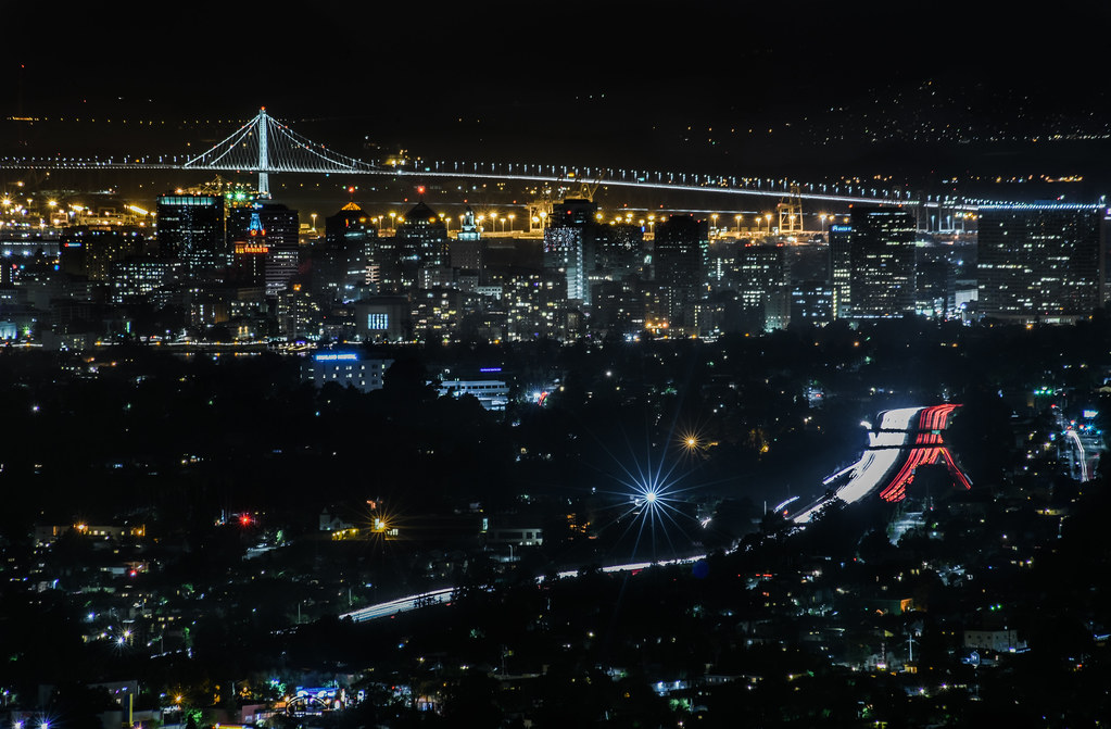
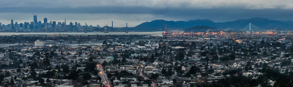
Alameda, San Leandro and OAK from Above, on a Moonlit Night
square squareformat iphoneography instagramapp uploaded:by=instagram
The views of the San Francisco Bay are stunning on mile 4 of the #CoyoteHills #HalfMarathon course.
ebparksok
Lake Chabot
ebparksok
rain and sun alternating
ebparksok
Lake Chabot
ebparksok
Lake Chabot
2015 cattle clouds flowers garinregional
Garin 20150227
ebparksok
Garin Regional Park
california usa nature canon outdoors oakland interestingness interesting hiking stock hike explore redwoods rays crepuscular ebrpd ebmud sfgate sequoiasempervirens explored 550d efs1755mmf28isusm t2i eprpd ebparksok lifelover4 stickneydesign dpsbest2011 tpslandscape
Caught Up In The Rapture
square squareformat amaro iphoneography instagramapp uploaded:by=instagram foursquare:venue=4b9a93e3f964a520f9c235e3
He was quietly brunching when I turned up right behind, glad he was so focus!
instagramapp square squareformat iphoneography uploaded:by=instagram
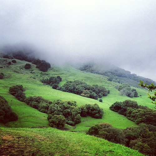
Something about these hills...remind me of Shrek.
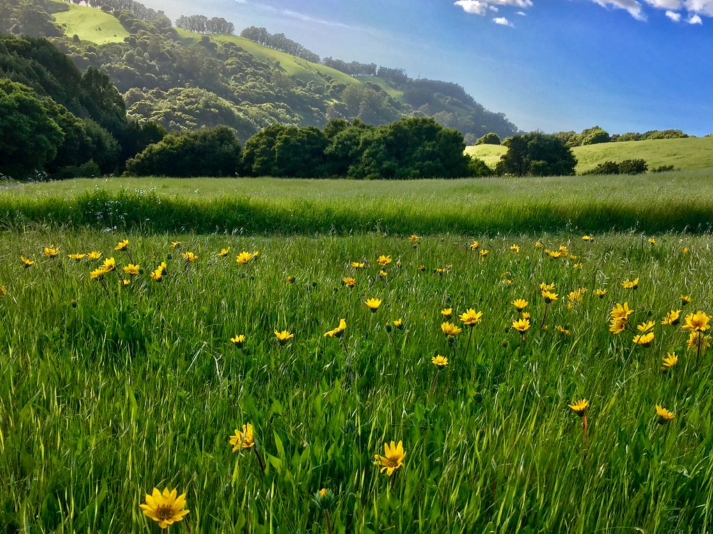
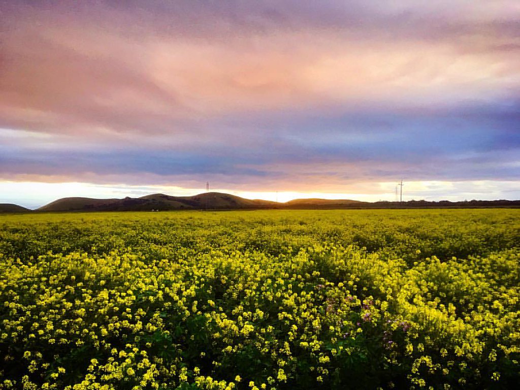
wild sky nature yellow clouds landscape spring pretty mustard hollingsworth ellow firld iphone5 iphoneography uploaded:by=flickrmobile flickriosapp:filter=nofilter
Mustard field
instagramapp square squareformat iphoneography uploaded:by=instagram lofi chabot park california
Chabot Park
california sunset summer black color green fence nikon highway traffic infinity over bart overpass august bayarea eastbay castrovalley alamedacounty endless 2014 580 lightstream d700 trackss
endless e6
square squareformat hudson iphoneography instagramapp uploaded:by=instagram foursquare:venue=4b9a93e3f964a520f9c235e3
Th fog was rolling in quick!
ebparksok
Las Trampas
instagramapp square squareformat iphoneography uploaded:by=instagram
Make the day more beautiful by being grateful! . . . #coyotehills #sunset #spring #mustardyellow #mustard #fields #hills #regionalpark
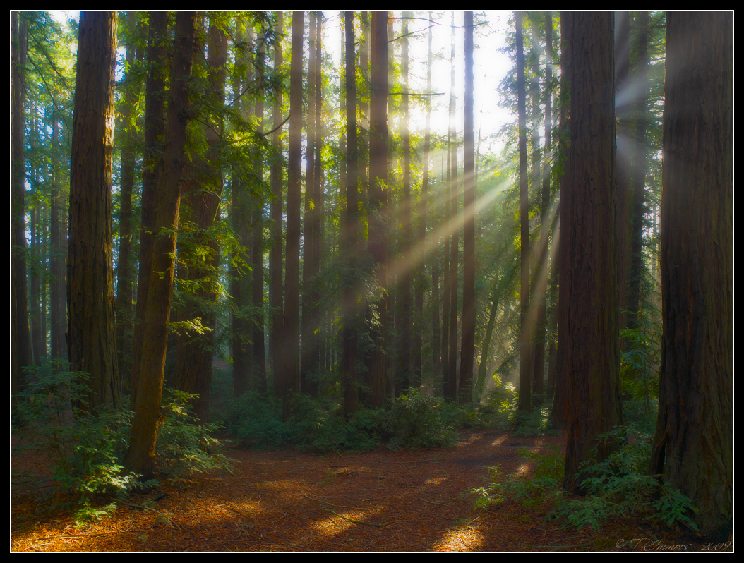
california lighting morning trees green nature sunshine fog landscape oakland haze postcard scenic landmark olympus explore sunburst redwoods e3 alamedacounty 1000views californialandscape zd 1260mm olympuse3
Rays of Light
nikond7100 landscapes scenic martinlutherkingjrregionalshoreline oaklandcalifornia 66thave edgewaterdrive eastbayregionalparkdistrict eastoakland sanleandrobay damonslough clouds weather oakland california usa
Damon Slough - Eastbay Regional Park District
square squareformat rise iphoneography instagramapp uploaded:by=instagram foursquare:venue=510c2f4ae4b0428ece2e431f
Woodland Jacob
ca california coyotehills eastbay eastbayregionalparks fremontca landscape lizardrock marsh marshland rocks sanfranciscobayarea water wildlife winter
Lizard Rock in Afternoon Light._