Elevation of Watertown, SD, USA
Location: United States > South Dakota > Codington County >
Longitude: -97.115073
Latitude: 44.8994088
Elevation: 529m / 1736feet
Barometric Pressure: 95KPa
Elevation Map:
Satellite Map:
Related Photos:
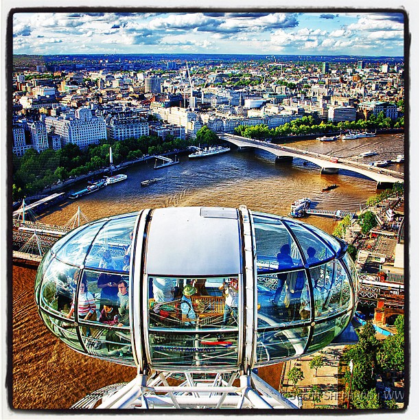
A View From the Eye

anniversary cheesecake

Portrait In A Rear View Camera

Wheat (Harvest Festival Possibilities
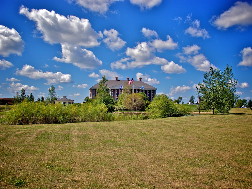
Watertown SD 6

Soccer Ball

Golden Braids

GuardianTree042414-3125

Last Wheat Pic

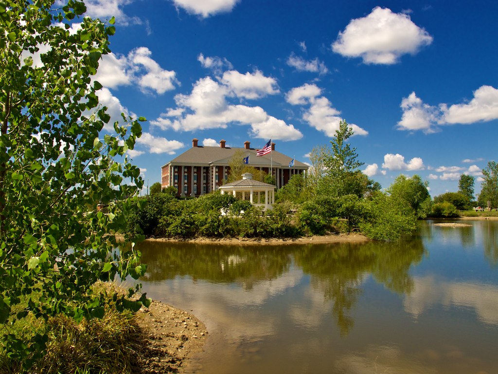
Back by Lonesome Lake

2012-05-21_20-37-22_382

2012-05-21_21-20-41_274

2012-05-21_21-20-47_410
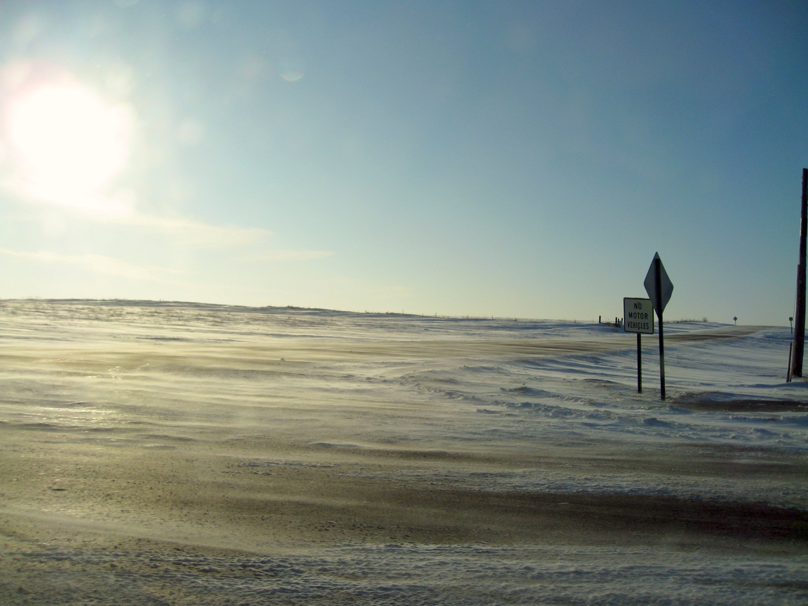
windswept roads
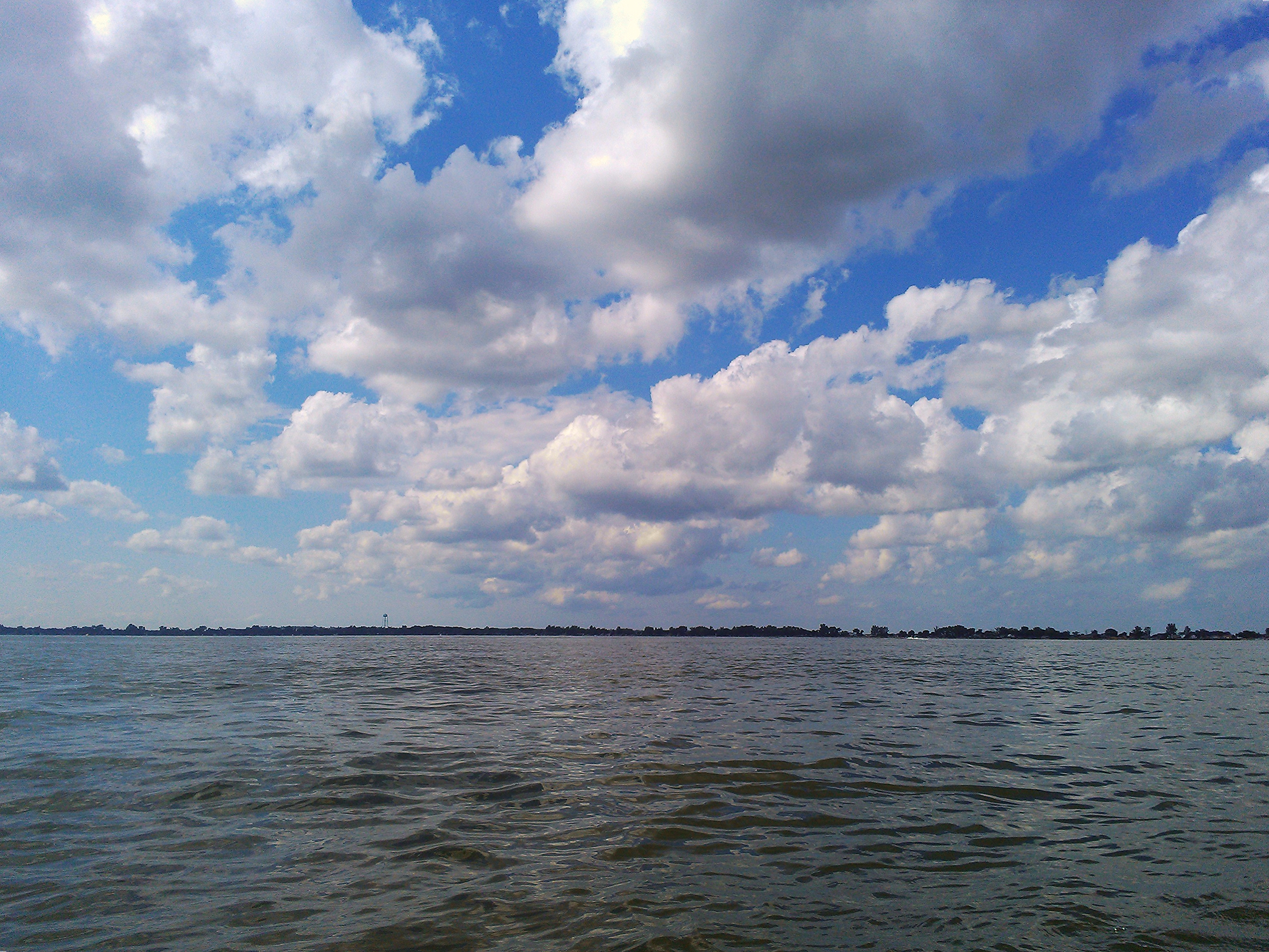
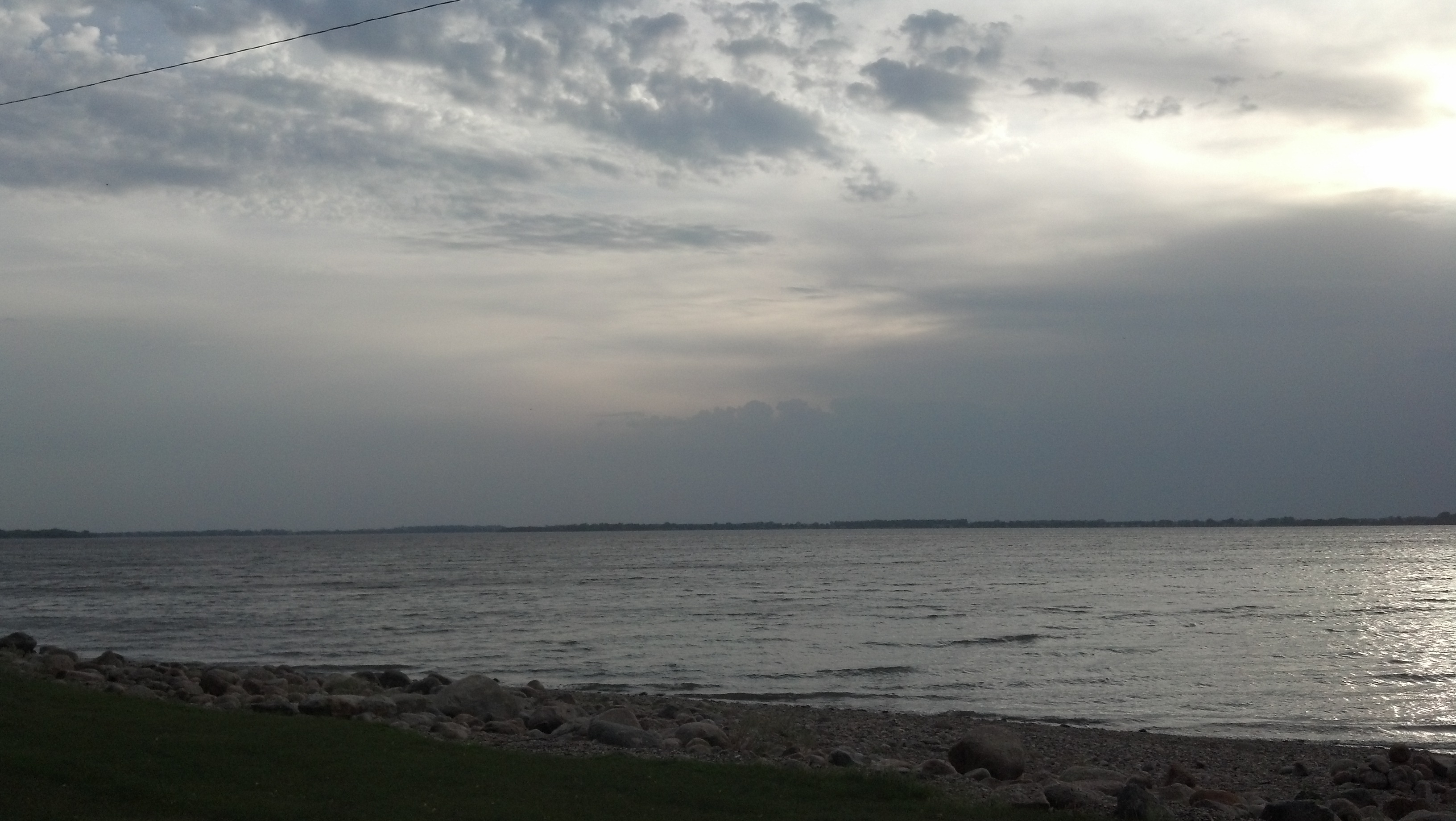
Lake Kampeska
Watertown SD 8

IMG_1919 POTD
2012-05-22_19-39-51_808

Sunset on Lake Kameska
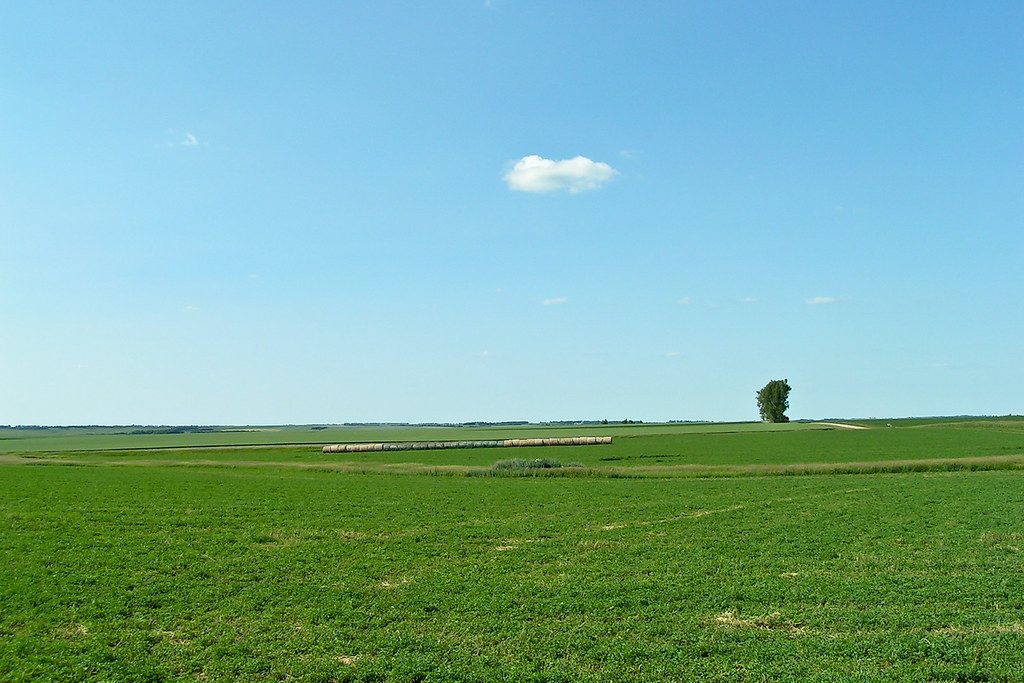
Miles and Miles

South Dakota-12

Amber Waves

My favorite cowboy

South Dakota-52
Topographic Map of Watertown, SD, USA
Find elevation by address:

Places near Watertown, SD, USA:
25 S Broadway, Watertown, SD, USA
340 S Maple
180 2nd St Ne
111 7th Ave Se
707 1st St Sw
301 9th Ave Se
901 4th Ave Sw
917 9th Ave Se
1400 N Maple
114 18th St Ne
1500 Sd-20
2000 Palisades Ln
1933 Willow Creek Dr
2200 Willow Creek Dr
2500 Willow Creek Dr
2800 Willow Creek Dr
138 S Lake Dr
16649 451st Ave
Codington County
Recent Searches:
- Elevation of Corso Fratelli Cairoli, 35, Macerata MC, Italy
- Elevation of Tallevast Rd, Sarasota, FL, USA
- Elevation of 4th St E, Sonoma, CA, USA
- Elevation of Black Hollow Rd, Pennsdale, PA, USA
- Elevation of Oakland Ave, Williamsport, PA, USA
- Elevation of Pedrógão Grande, Portugal
- Elevation of Klee Dr, Martinsburg, WV, USA
- Elevation of Via Roma, Pieranica CR, Italy
- Elevation of Tavkvetili Mountain, Georgia
- Elevation of Hartfords Bluff Cir, Mt Pleasant, SC, USA