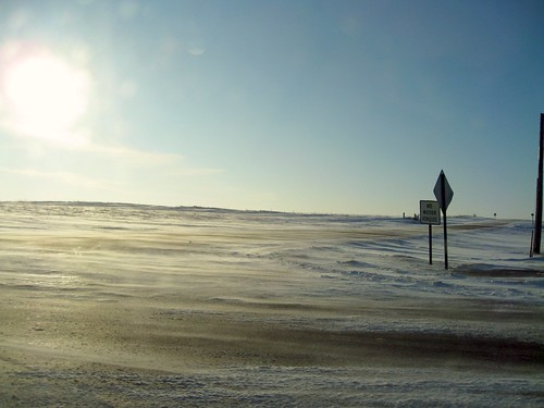
Elevation of 9th Ave SE, Watertown, SD, USA
Location: United States > South Dakota > Codington County > Watertown >
Longitude: -97.112841
Latitude: 44.8903613
Elevation: 523m / 1716feet
Barometric Pressure: 95KPa
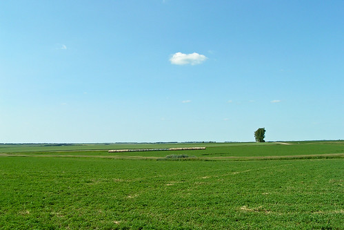
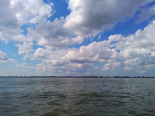
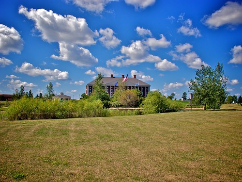
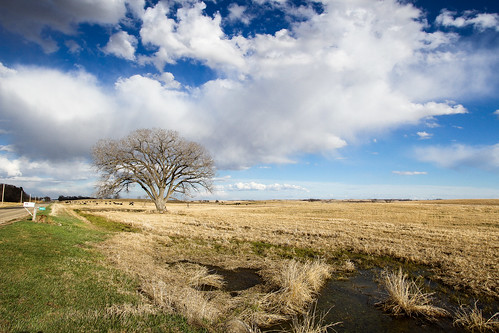
Related Photos:
Topographic Map of 9th Ave SE, Watertown, SD, USA
Find elevation by address:

Places near 9th Ave SE, Watertown, SD, USA:
111 7th Ave Se
340 S Maple
707 1st St Sw
Watertown
25 S Broadway, Watertown, SD, USA
917 9th Ave Se
180 2nd St Ne
901 4th Ave Sw
114 18th St Ne
1933 Willow Creek Dr
1400 N Maple
2200 Willow Creek Dr
2500 Willow Creek Dr
2800 Willow Creek Dr
2000 Palisades Ln
1500 Sd-20
138 S Lake Dr
16649 451st Ave
Codington County
Recent Searches:
- Elevation of Leguwa, Nepal
- Elevation of County Rd, Enterprise, AL, USA
- Elevation of Kolchuginsky District, Vladimir Oblast, Russia
- Elevation of Shustino, Vladimir Oblast, Russia
- Elevation of Lampiasi St, Sarasota, FL, USA
- Elevation of Elwyn Dr, Roanoke Rapids, NC, USA
- Elevation of Congressional Dr, Stevensville, MD, USA
- Elevation of Bellview Rd, McLean, VA, USA
- Elevation of Stage Island Rd, Chatham, MA, USA
- Elevation of Shibuya Scramble Crossing, 21 Udagawacho, Shibuya City, Tokyo -, Japan
