Elevation of 18th St NE, Watertown, SD, USA
Location: United States > South Dakota > Codington County > Watertown >
Longitude: -97.087860
Latitude: 44.9008354
Elevation: 531m / 1742feet
Barometric Pressure: 95KPa
Elevation Map:
Satellite Map:
Related Photos:

anniversary cheesecake
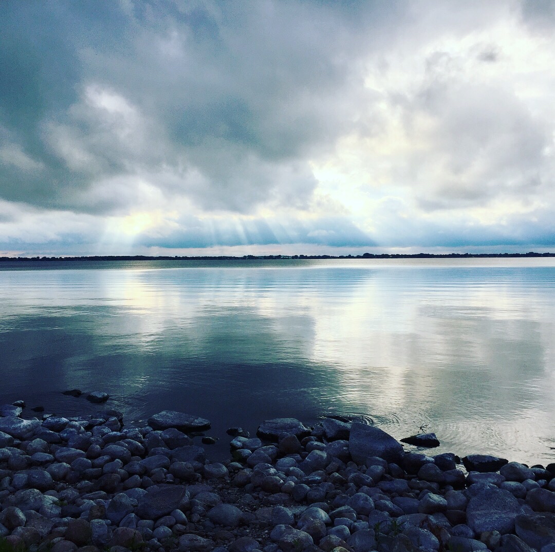
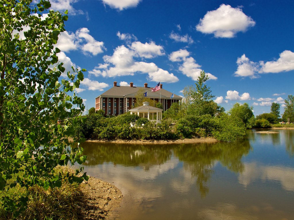
Lake Kampeska

Back by Lonesome Lake

Wheat (Harvest Festival Possibilities
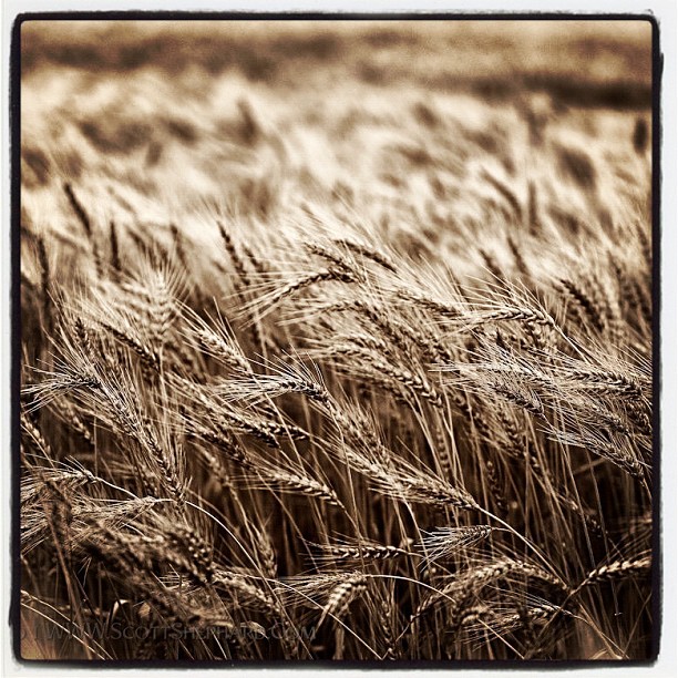
Last Wheat Pic

Soccer Ball

2012-05-21_21-20-41_274
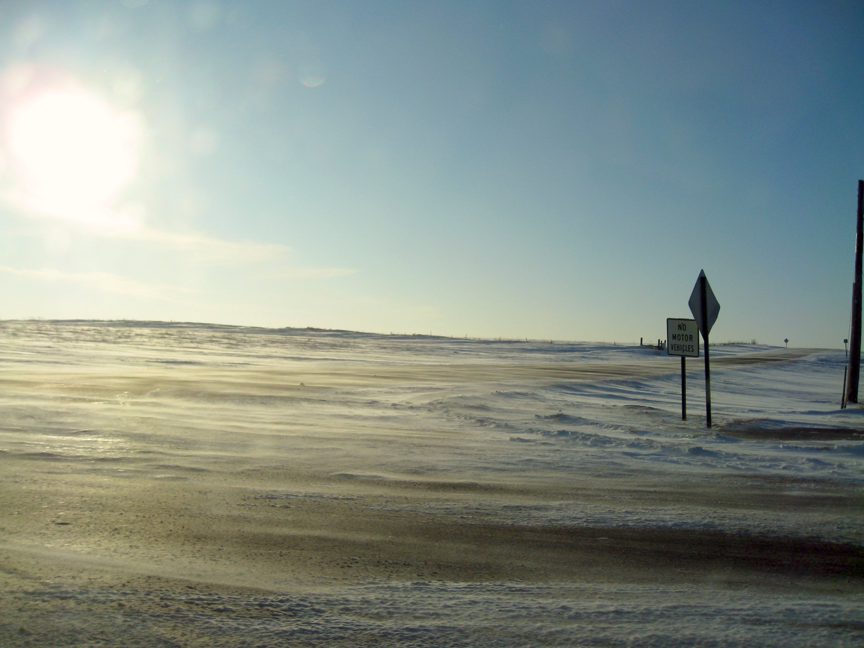
windswept roads
Miles and Miles
Watertown SD 6
2012-05-21_21-20-47_410
Lake Kampeska
Watertown SD 8
2012-05-22_19-39-51_808

South Dakota-12

Amber Waves

Golden Braids

My favorite cowboy

IMG_1919 POTD
Topographic Map of 18th St NE, Watertown, SD, USA
Find elevation by address:

Places near 18th St NE, Watertown, SD, USA:
2000 Palisades Ln
1933 Willow Creek Dr
2200 Willow Creek Dr
2500 Willow Creek Dr
2800 Willow Creek Dr
917 9th Ave Se
180 2nd St Ne
301 9th Ave Se
340 S Maple
Watertown
25 S Broadway, Watertown, SD, USA
111 7th Ave Se
1400 N Maple
707 1st St Sw
901 4th Ave Sw
1500 Sd-20
138 S Lake Dr
16649 451st Ave
Codington County
Recent Searches:
- Elevation of Côte-des-Neiges, Montreal, QC H4A 3J6, Canada
- Elevation of Bobcat Dr, Helena, MT, USA
- Elevation of Zu den Ihlowbergen, Althüttendorf, Germany
- Elevation of Badaber, Peshawar, Khyber Pakhtunkhwa, Pakistan
- Elevation of SE Heron Loop, Lincoln City, OR, USA
- Elevation of Slanický ostrov, 01 Námestovo, Slovakia
- Elevation of Spaceport America, Co Rd A, Truth or Consequences, NM, USA
- Elevation of Warwick, RI, USA
- Elevation of Fern Rd, Whitmore, CA, USA
- Elevation of 62 Abbey St, Marshfield, MA, USA