Elevation of Waterfowl Lake, Alaska, USA
Location: United States > Alaska > Kenai Peninsula Borough >
Longitude: -150.71505
Latitude: 60.7181971
Elevation: 60m / 197feet
Barometric Pressure: 101KPa
Elevation Map:
Satellite Map:
Related Photos:
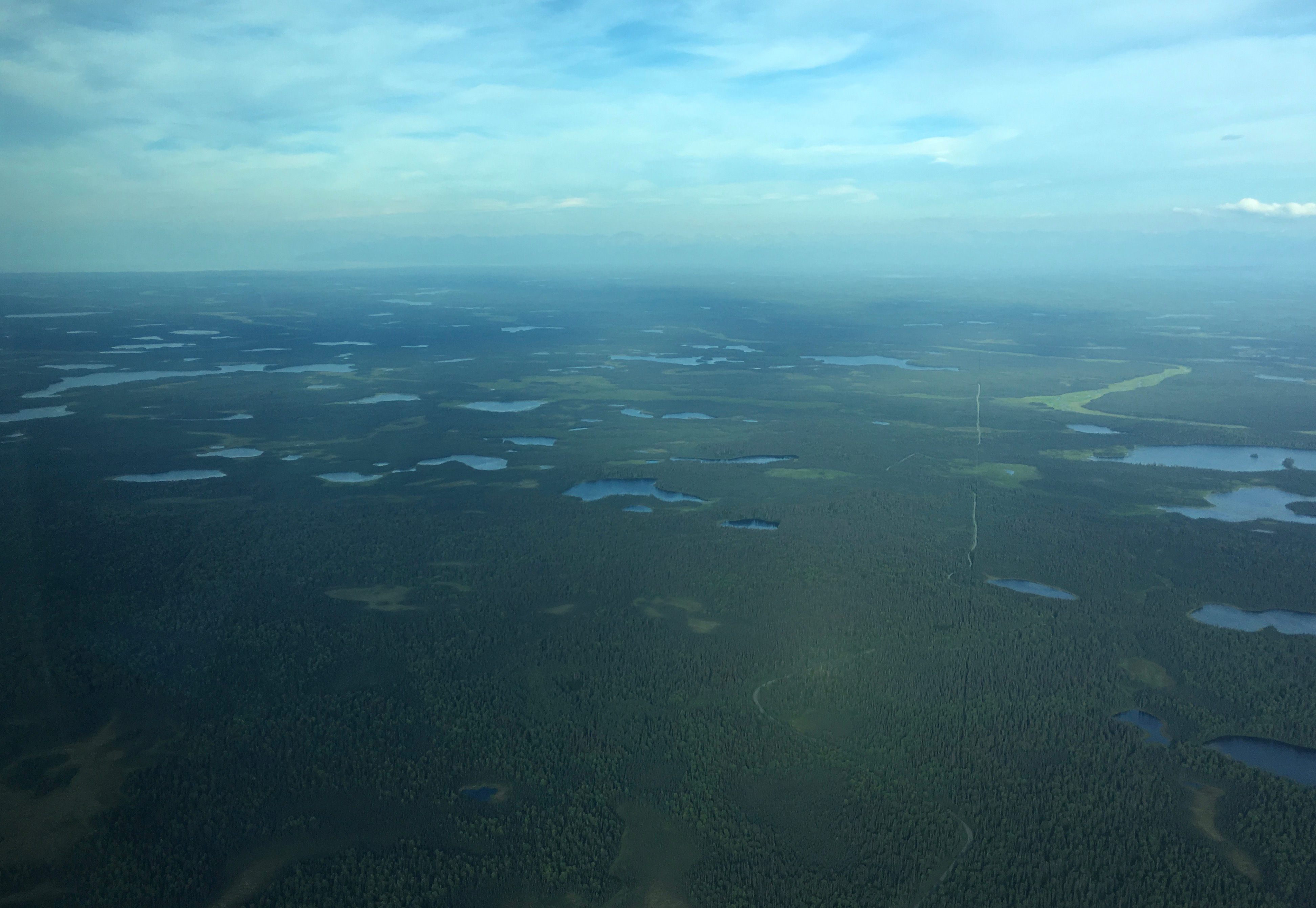
IMG_2692
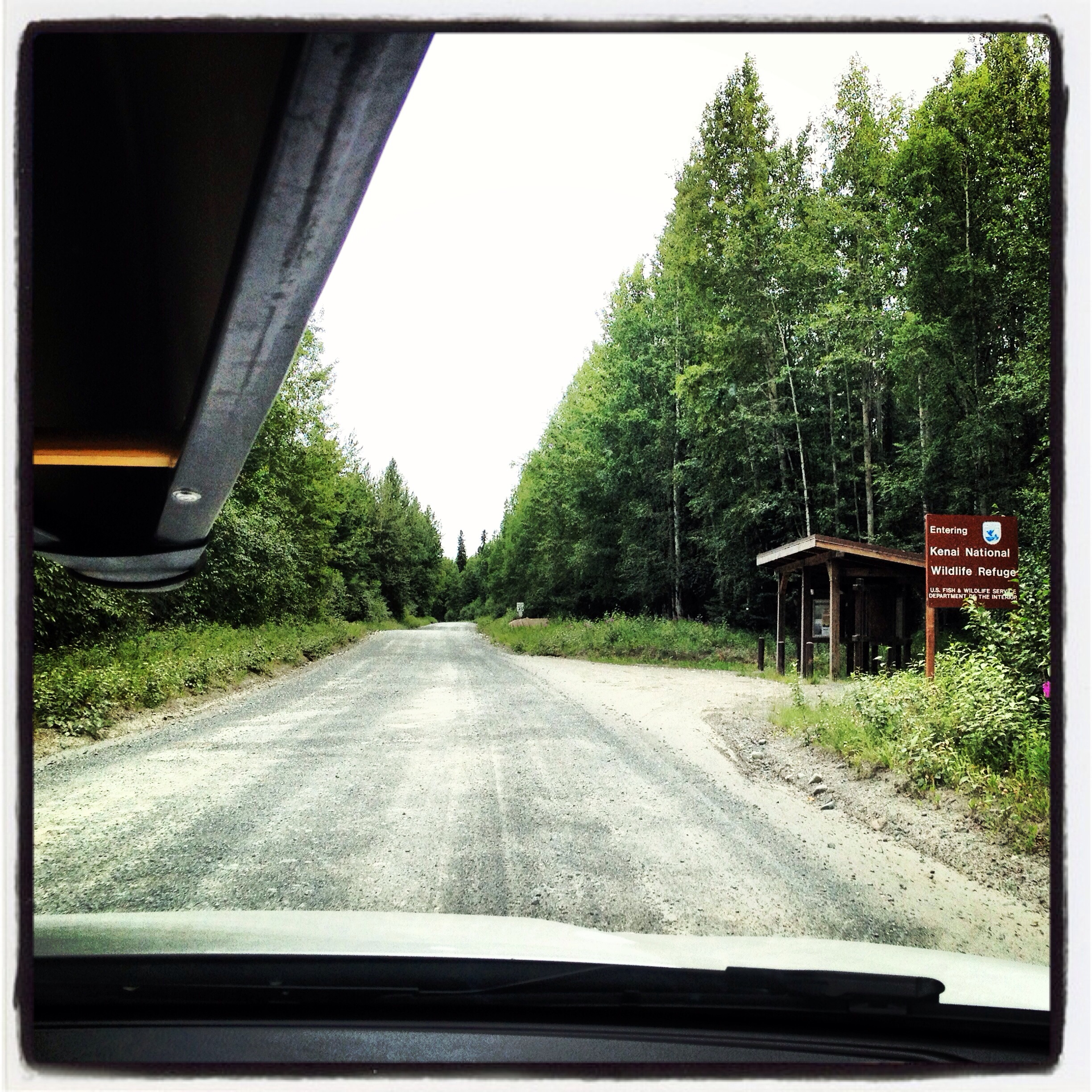
Kenai National Wildlife Refuge
Topographic Map of Waterfowl Lake, Alaska, USA
Find elevation by address:

Places near Waterfowl Lake, Alaska, USA:
Sterling
Sterling Hwy, Sterling, AK, USA
37546 Funny Moose Ln
Corey Street
Nikiski, AK, USA
Kenai Spur Hwy, Soldotna, AK, USA
Soldotna
Prairie Ave, Soldotna, AK, USA
Snowshoe Gun Club Rifle Range
Ralph Lane
Escape Route Road
Beaver Loop Road
Neighbors Road
41677 Kalifornsky Beach Rd
306 James St
51365 Chena Cir
99635 Karen Ave
Kenai
52655 Sylvan Way
Nikiski
Recent Searches:
- Elevation of 4 Vale Rd, Sheffield S3 9QX, UK
- Elevation of Keene Point Drive, Keene Point Dr, Grant, AL, USA
- Elevation of State St, Zanesville, OH, USA
- Elevation of Austin Stone Dr, Haslet, TX, USA
- Elevation of Bydgoszcz, Poland
- Elevation of Bydgoszcz, Poland
- Elevation of Calais Dr, Del Mar, CA, USA
- Elevation of Placer Mine Ln, West Jordan, UT, USA
- Elevation of E 63rd St, New York, NY, USA
- Elevation of Elk City, OK, USA