Elevation of Kenai, AK, USA
Location: United States > Alaska > Kenai Peninsula Borough >
Longitude: -151.25833
Latitude: 60.5544444
Elevation: 26m / 85feet
Barometric Pressure: 101KPa
Elevation Map:
Satellite Map:
Related Photos:
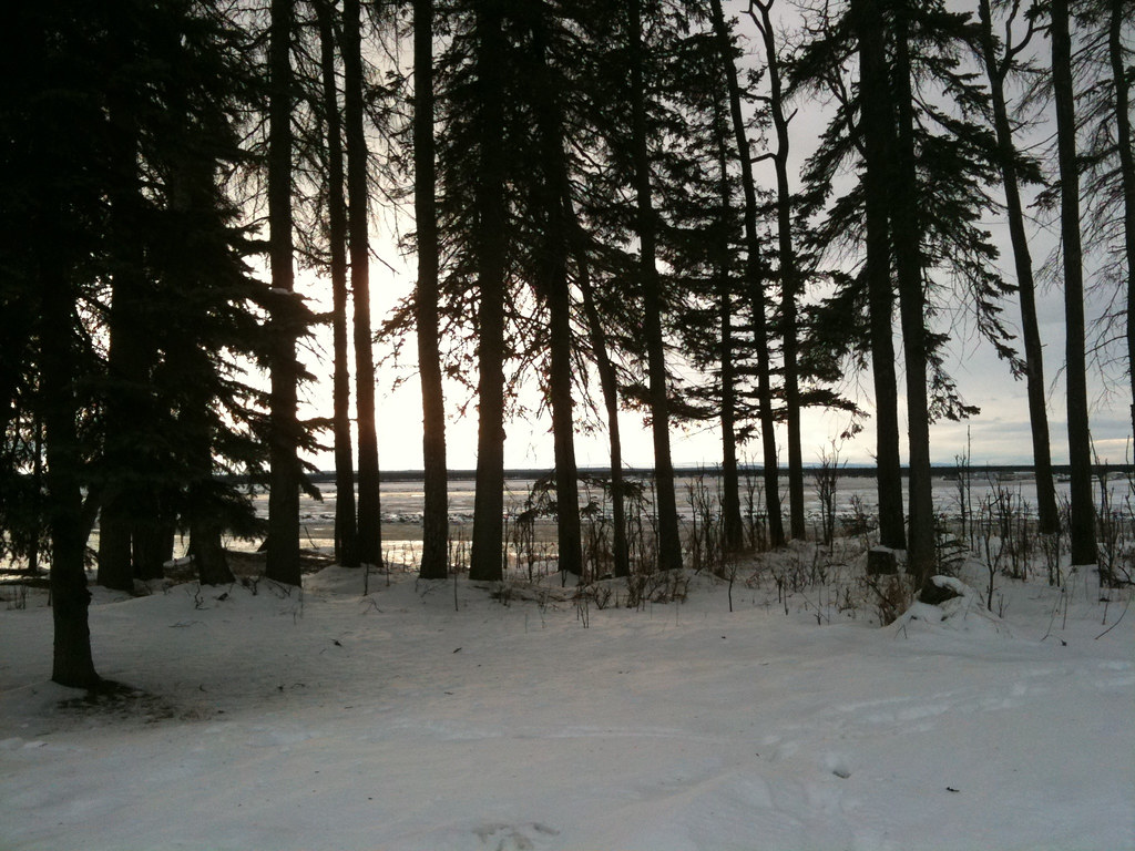
{41:365} Alaska and the iPhone that saves the day!
Redoubt Volcano

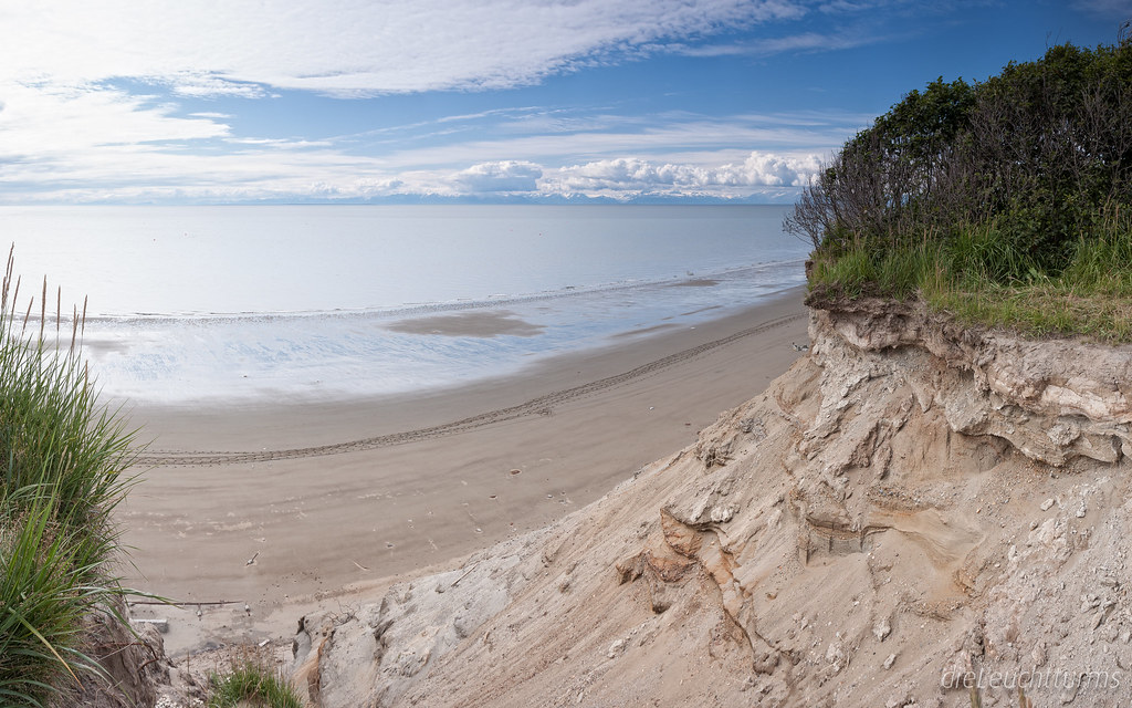
a rich view
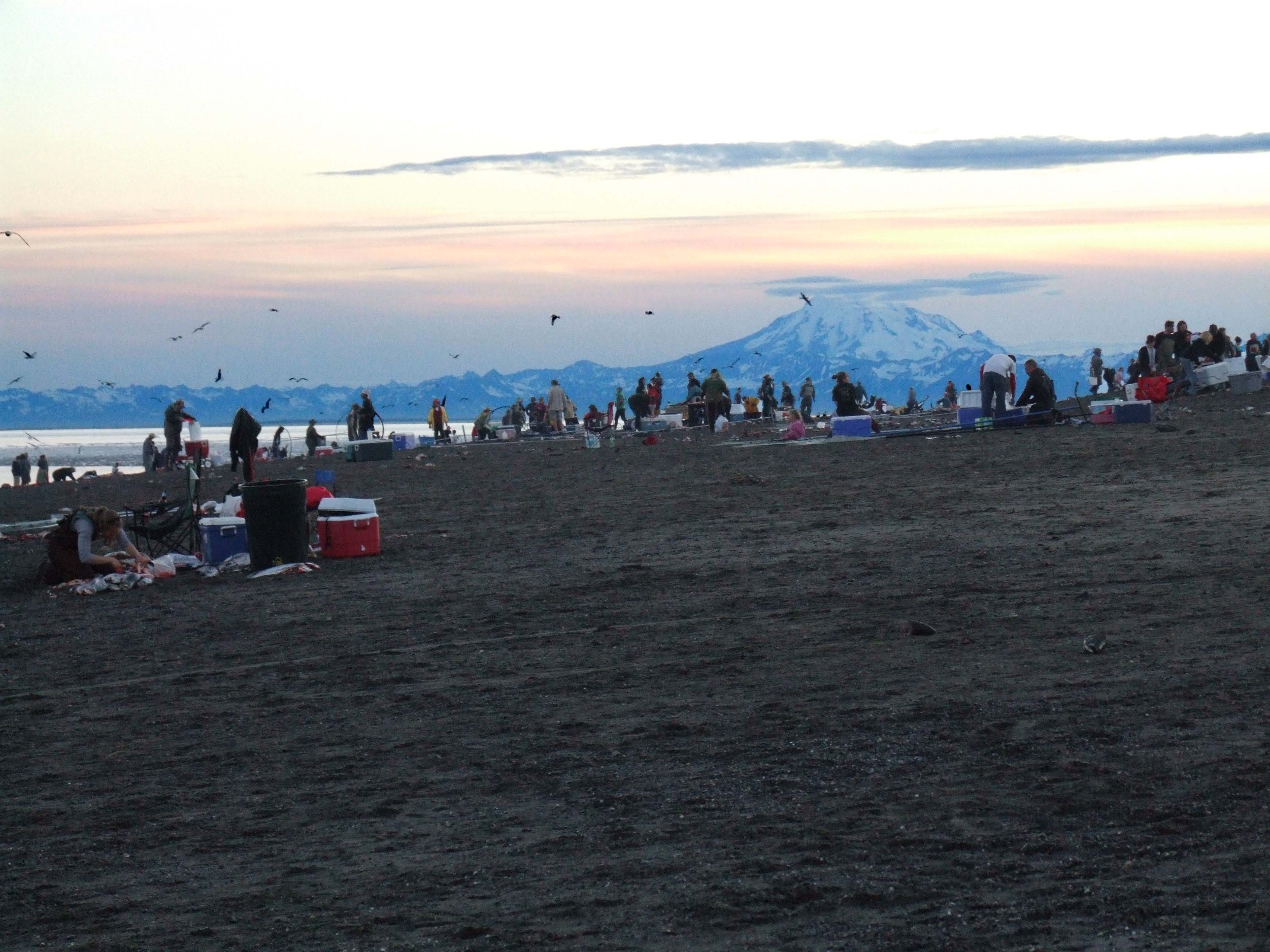
View above Cook Inlet from mouth of Kenai River
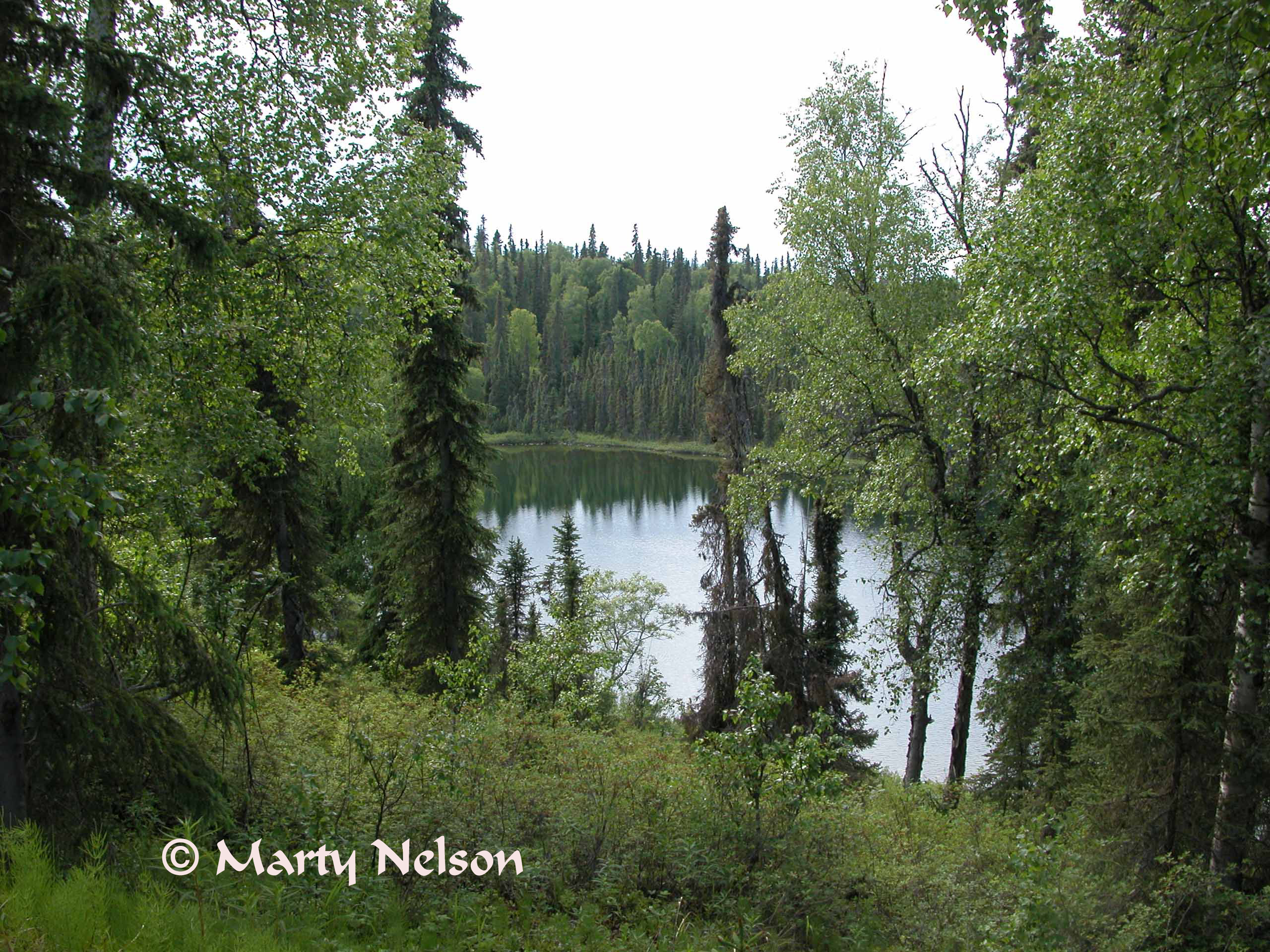
Echoes of Alaska, - Echo Lake, 2005 No. 1 - © Copyright by Marty Nelson.
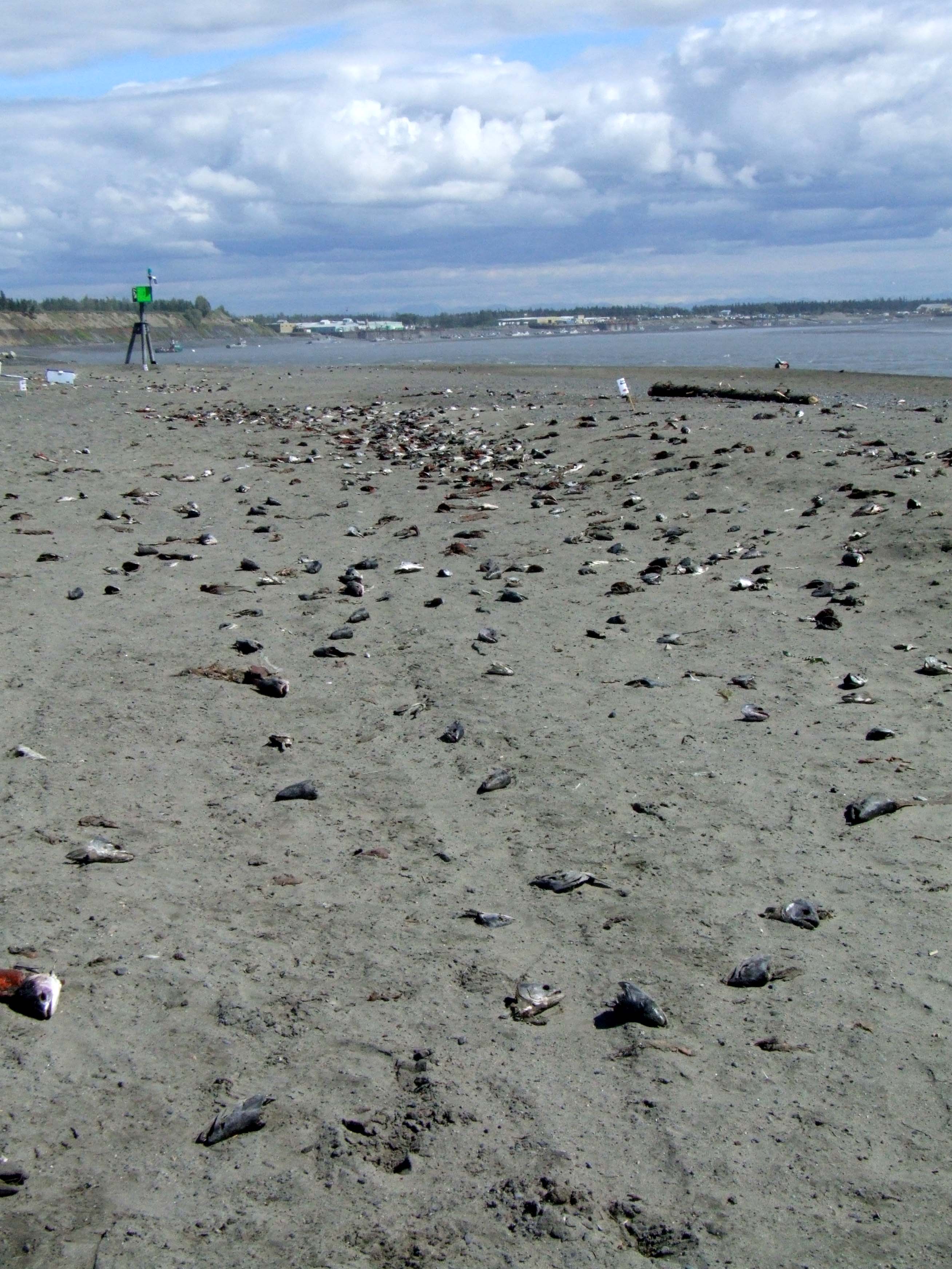
Fish Parts: East
Topographic Map of Kenai, AK, USA
Find elevation by address:

Places in Kenai, AK, USA:
Kenai Spur Hwy, Kenai, AK, USA
Bastien Dr, Kenai, AK, USA
Escape Route Road
Neighbors Road
Beaver Loop Road
Ralph Lane
Nikiski, AK, USA
Places near Kenai, AK, USA:
1803 4th Ave
301 Evergreen St
306 James St
Alaska Fish On Charters Inc.
41677 Kalifornsky Beach Rd
44330 Rhines Rd
Beaver Loop Road
Escape Route Road
99635 Holt-lamplight Rd
Nikiski
Bastien Dr, Kenai, AK, USA
Ralph Lane
Snowshoe Gun Club Rifle Range
49766 Island Lake Rd
51365 Chena Cir
Kenai Spur Hwy, Kenai, AK, USA
Kenai Spur Hwy, Soldotna, AK, USA
Nikiski, AK, USA
52655 Sylvan Way
99635 Karen Ave
Recent Searches:
- Elevation of Corso Fratelli Cairoli, 35, Macerata MC, Italy
- Elevation of Tallevast Rd, Sarasota, FL, USA
- Elevation of 4th St E, Sonoma, CA, USA
- Elevation of Black Hollow Rd, Pennsdale, PA, USA
- Elevation of Oakland Ave, Williamsport, PA, USA
- Elevation of Pedrógão Grande, Portugal
- Elevation of Klee Dr, Martinsburg, WV, USA
- Elevation of Via Roma, Pieranica CR, Italy
- Elevation of Tavkvetili Mountain, Georgia
- Elevation of Hartfords Bluff Cir, Mt Pleasant, SC, USA