Elevation map of Washington County, CO, USA
Location: United States > Colorado >
Longitude: -102.98961
Latitude: 40.063745
Elevation: 1348m / 4423feet
Barometric Pressure: 86KPa
Elevation Map:
Satellite Map:
Related Photos:
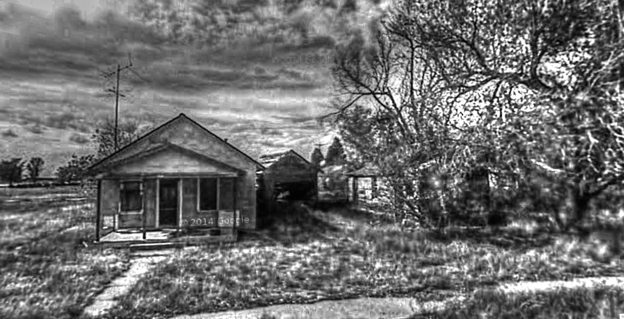
Google Street View - Pan-American Trek - Otis, Colorado

When You're Smiling (The Whole World Smiles With You)

Hi, my name is Rusty, and these are my friends Lowride and Winkey

@stejesuslla The flash made it difficult to see. But this sweet scooter is called #Stella

Post Office 80743 (Otis, Colorado)
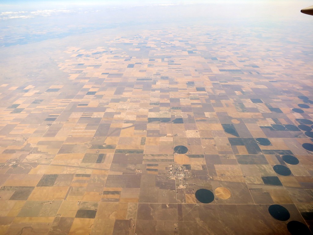
Aerial - USA (#1826)

Rural Rail

Colorado Christmas
Topographic Map of Washington County, CO, USA
Find elevation by address:

Places in Washington County, CO, USA:
Places near Washington County, CO, USA:
Otis
Co Rd XX, Otis, CO, USA
Akron
CO-63, Akron, CO, USA
Yuma
Co Rd 30, Akron, CO, USA
Cope
Pinneo
US-36, Joes, CO, USA
Joes
Prewitt Reservoir
Co Rd 12, Haxtun, CO, USA
Co Rd, Sterling, CO, USA
Merino
Atwood
County Rd 59.5, Merino, CO, USA
2500 E Chestnut St
County Rd E, Brush, CO, USA
Co Rd W 5/10, Hillrose, CO, USA
Hillrose
Recent Searches:
- Elevation of Corso Fratelli Cairoli, 35, Macerata MC, Italy
- Elevation of Tallevast Rd, Sarasota, FL, USA
- Elevation of 4th St E, Sonoma, CA, USA
- Elevation of Black Hollow Rd, Pennsdale, PA, USA
- Elevation of Oakland Ave, Williamsport, PA, USA
- Elevation of Pedrógão Grande, Portugal
- Elevation of Klee Dr, Martinsburg, WV, USA
- Elevation of Via Roma, Pieranica CR, Italy
- Elevation of Tavkvetili Mountain, Georgia
- Elevation of Hartfords Bluff Cir, Mt Pleasant, SC, USA