Elevation of CO-63, Akron, CO, USA
Location: United States > Colorado > Washington County > Akron >
Longitude: -103.2177587
Latitude: 39.9484892
Elevation: 1433m / 4701feet
Barometric Pressure: 0KPa
Related Photos:

DSC_0167-2

DSC_0176-2

DSC_0168-2

DSC_0160-2

DSC_0095-2

DSC_0093-2

DSC_0063-3

DSC_0063-2
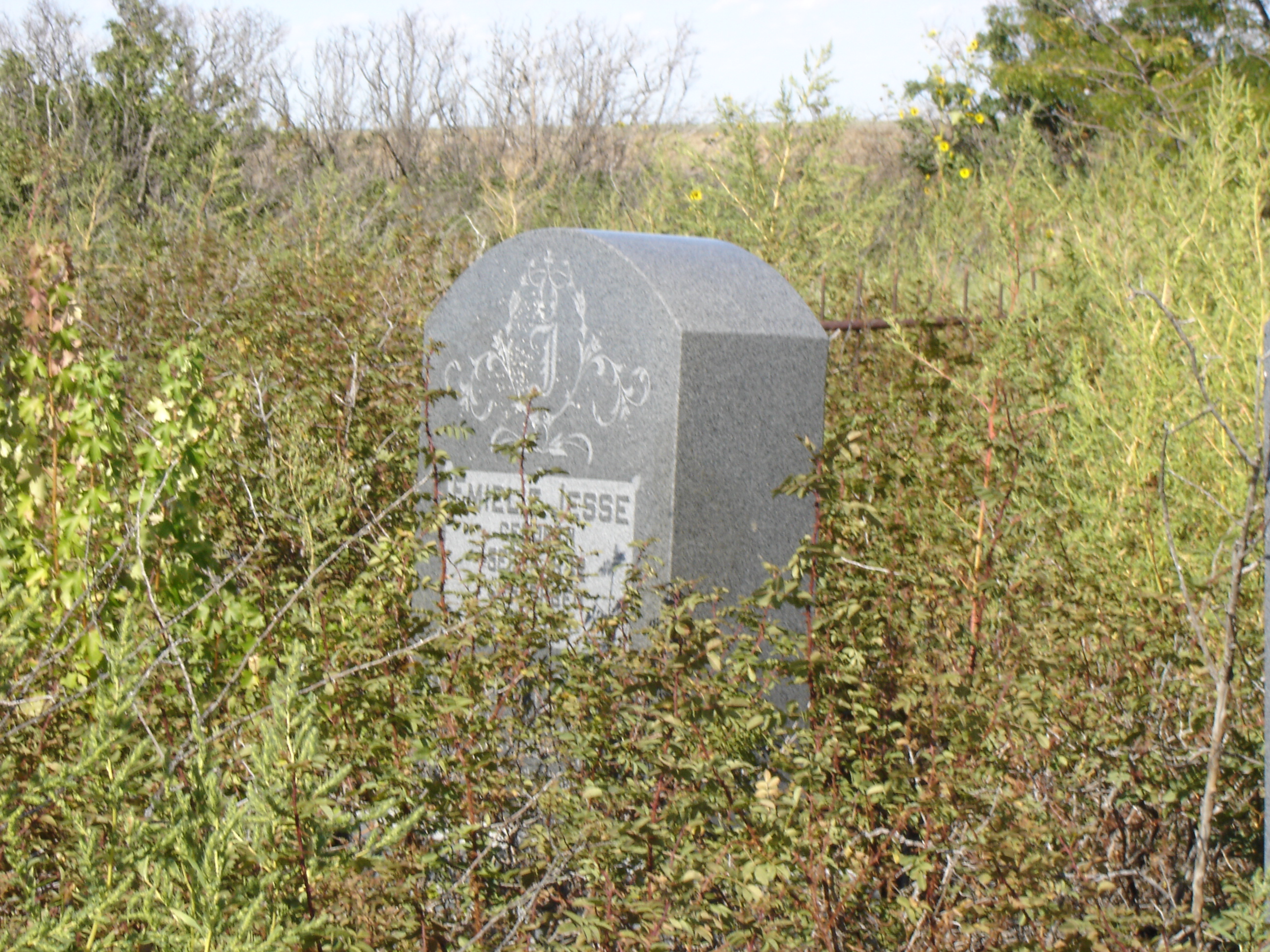
Emielie Jesse
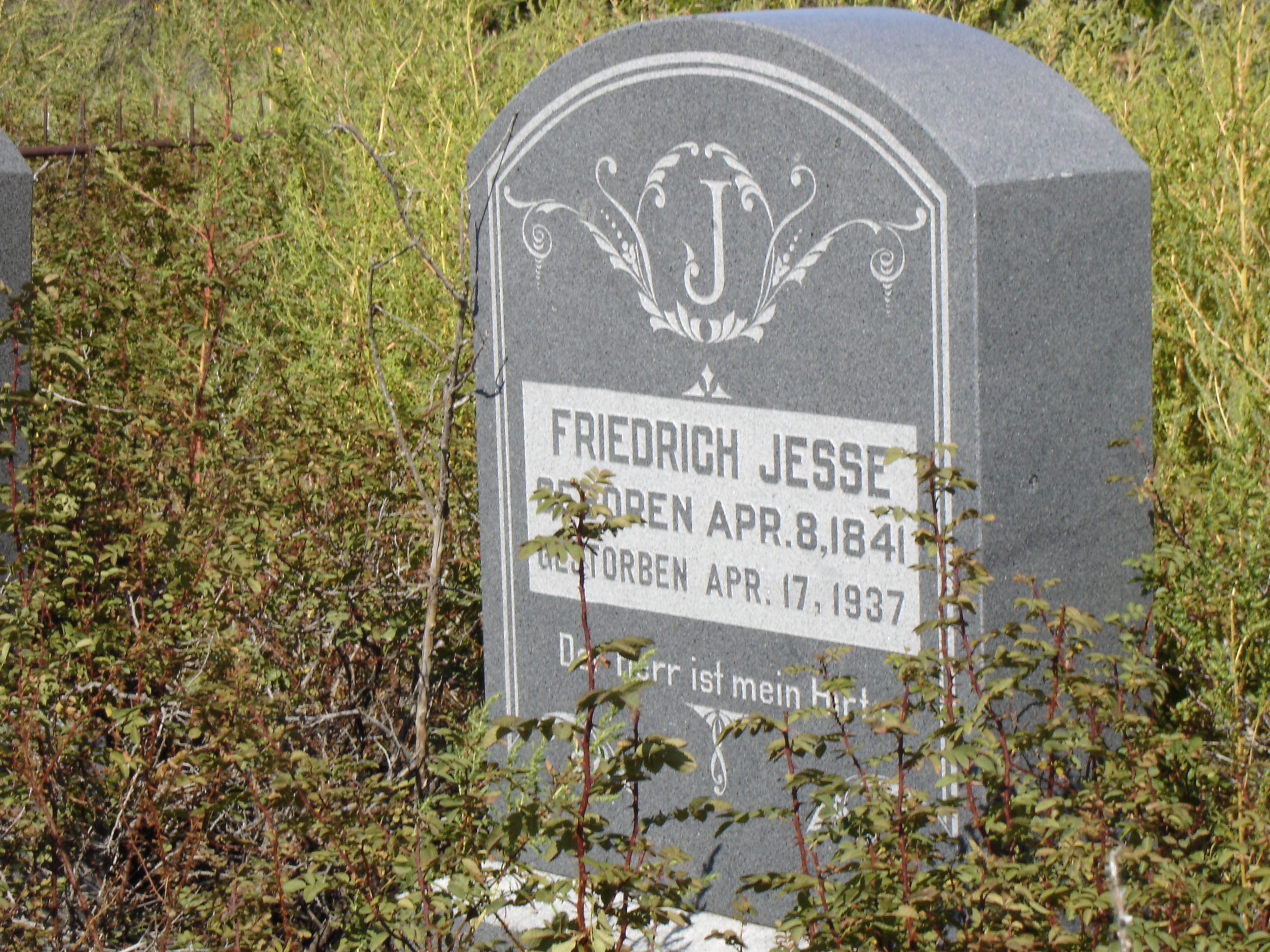
Friedrich Jesse
Topographic Map of CO-63, Akron, CO, USA
Find elevation by address:

Places near CO-63, Akron, CO, USA:
Co Rd 30, Akron, CO, USA
Akron
Washington County
Otis
Pinneo
Woodrow
County Rd E, Brush, CO, USA
Co Rd XX, Otis, CO, USA
US-36, Woodrow, CO, USA
Cope
Co Rd W 5/10, Hillrose, CO, USA
Hillrose
Prewitt Reservoir
Brush
Yuma
Co Rd 32, Snyder, CO, USA
County Rd 59.5, Merino, CO, USA
3rd St, Snyder, CO, USA
Snyder
Merino
Recent Searches:
- Elevation map of Greenland, Greenland
- Elevation of Sullivan Hill, New York, New York, 10002, USA
- Elevation of Morehead Road, Withrow Downs, Charlotte, Mecklenburg County, North Carolina, 28262, USA
- Elevation of 2800, Morehead Road, Withrow Downs, Charlotte, Mecklenburg County, North Carolina, 28262, USA
- Elevation of Yangbi Yi Autonomous County, Yunnan, China
- Elevation of Pingpo, Yangbi Yi Autonomous County, Yunnan, China
- Elevation of Mount Malong, Pingpo, Yangbi Yi Autonomous County, Yunnan, China
- Elevation map of Yongping County, Yunnan, China
- Elevation of North 8th Street, Palatka, Putnam County, Florida, 32177, USA
- Elevation of 107, Big Apple Road, East Palatka, Putnam County, Florida, 32131, USA
- Elevation of Jiezi, Chongzhou City, Sichuan, China
- Elevation of Chongzhou City, Sichuan, China
- Elevation of Huaiyuan, Chongzhou City, Sichuan, China
- Elevation of Qingxia, Chengdu, Sichuan, China
- Elevation of Corso Fratelli Cairoli, 35, Macerata MC, Italy
- Elevation of Tallevast Rd, Sarasota, FL, USA
- Elevation of 4th St E, Sonoma, CA, USA
- Elevation of Black Hollow Rd, Pennsdale, PA, USA
- Elevation of Oakland Ave, Williamsport, PA, USA
- Elevation of Pedrógão Grande, Portugal