Elevation of Otis, CO, USA
Location: United States > Colorado > Washington County >
Longitude: -102.9629927
Latitude: 40.1488722
Elevation: 1321m / 4334feet
Barometric Pressure: 0KPa
Related Photos:
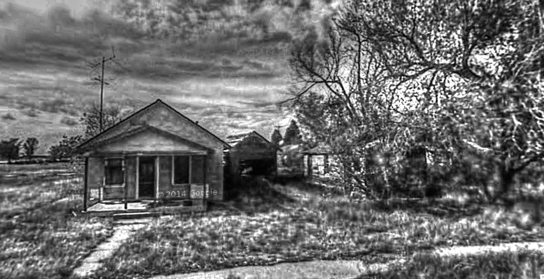
Google Street View - Pan-American Trek - Otis, Colorado

Post Office 80743 (Otis, Colorado)

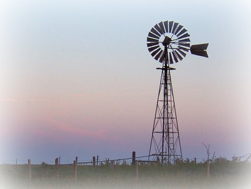
Windswept Plains
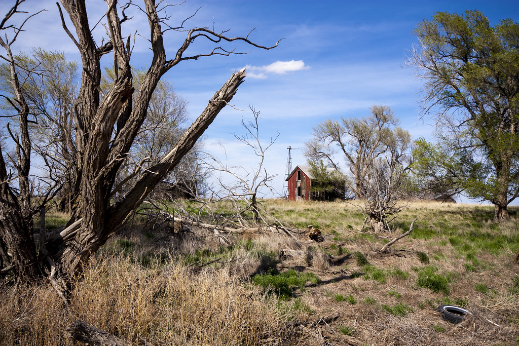
Colorado Barn
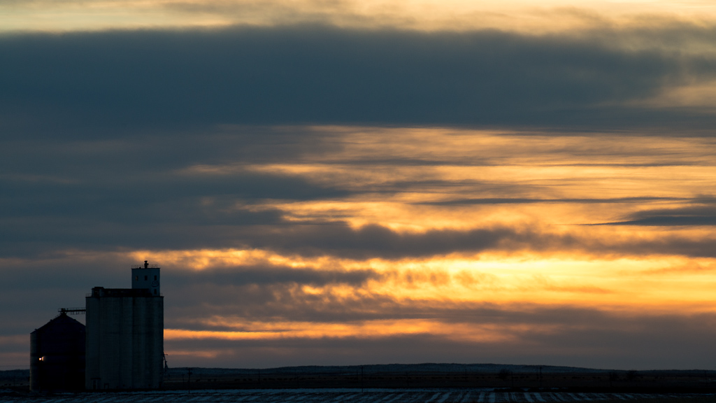
Grain Elevator Sunset - Yuma, CO
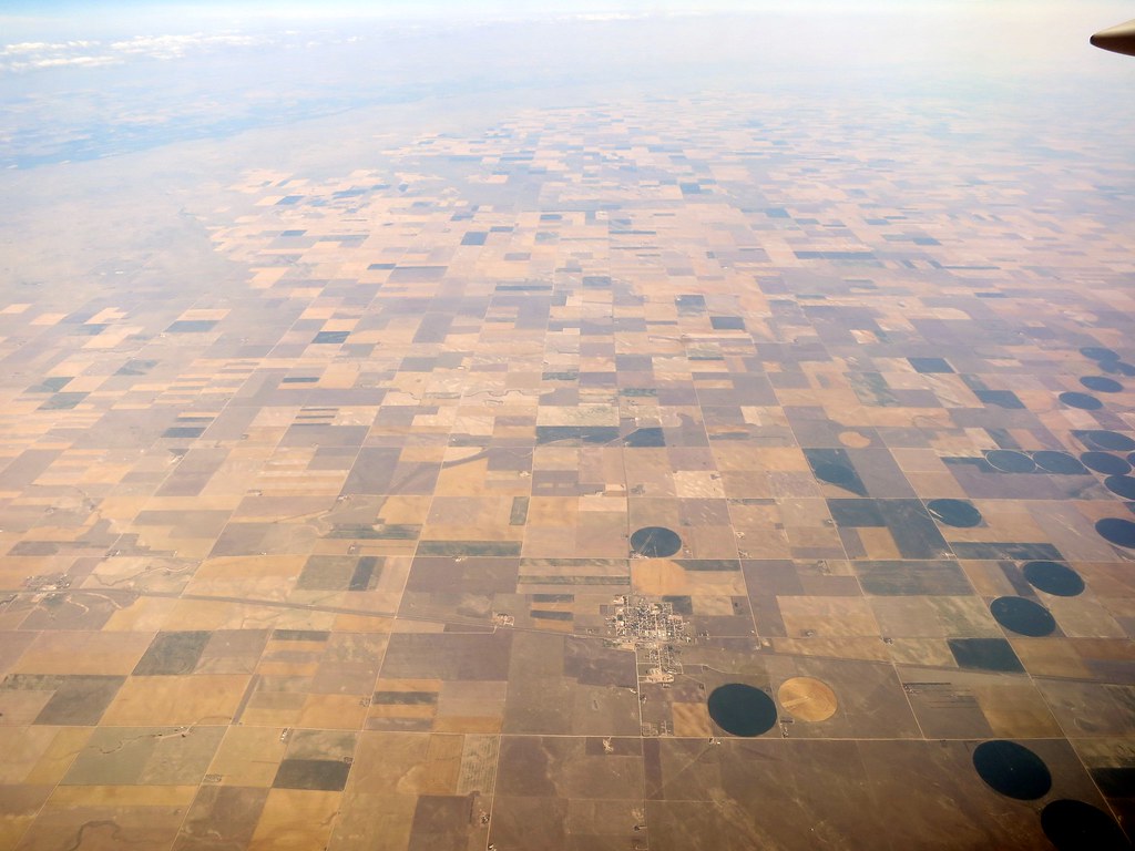
Aerial - USA (#1826)
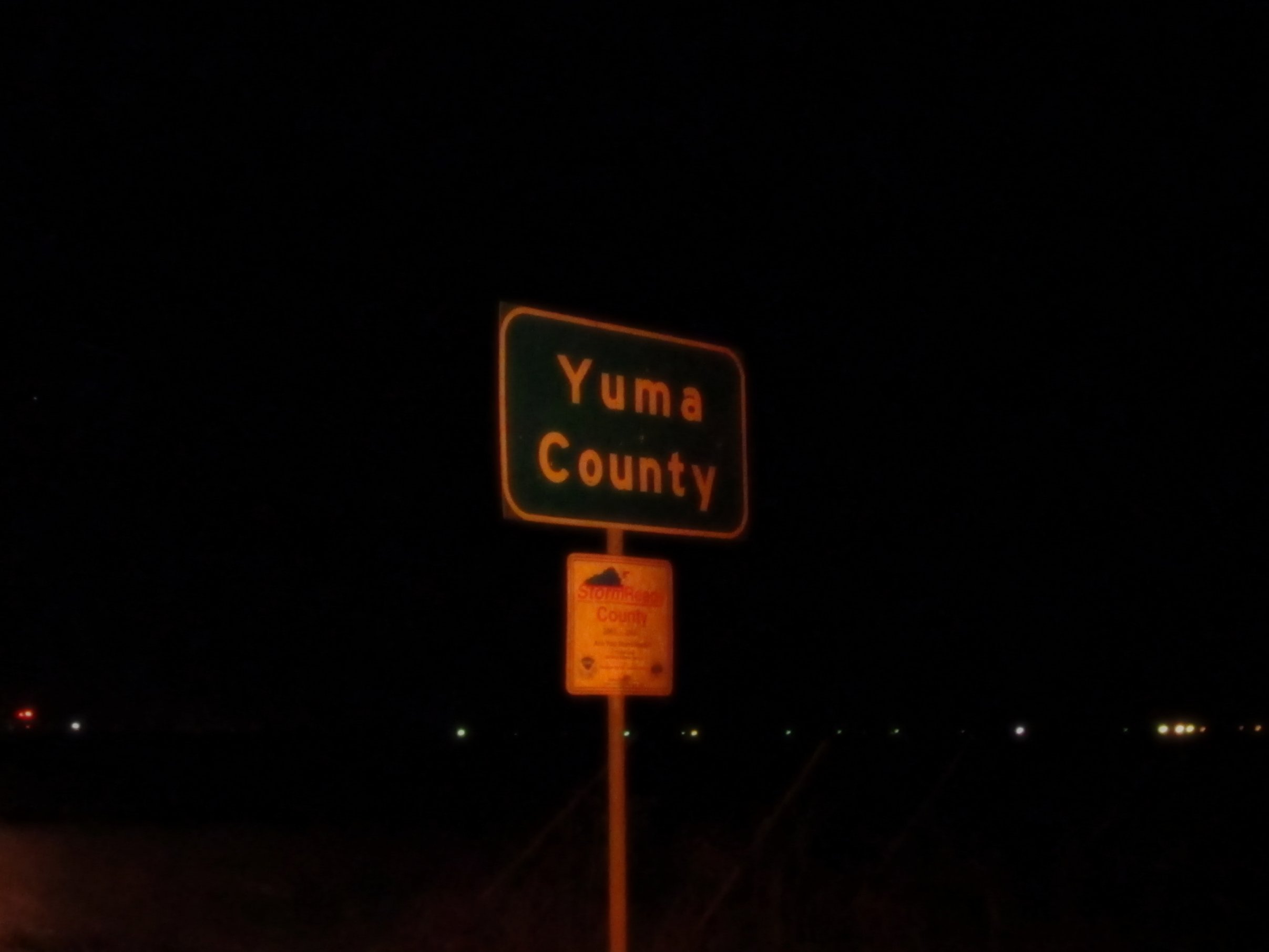
Welcome to Yuma County, Colorado

Rural Rail

When You're Smiling (The Whole World Smiles With You)

Hi, my name is Rusty, and these are my friends Lowride and Winkey
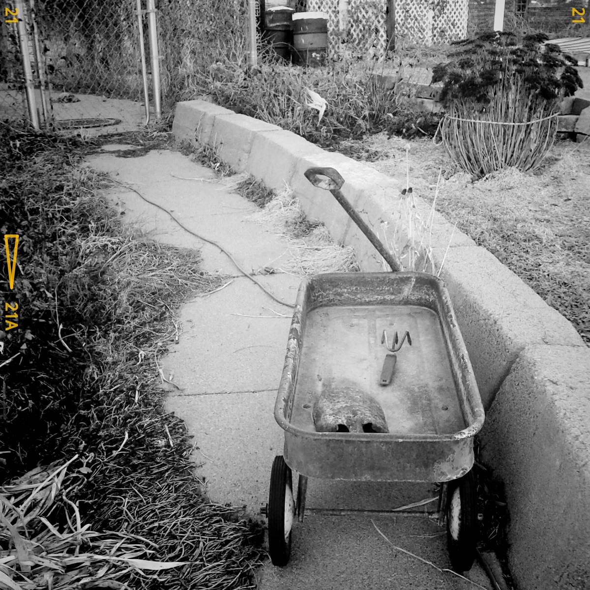
Little black and white wagon

Thomas and Matt
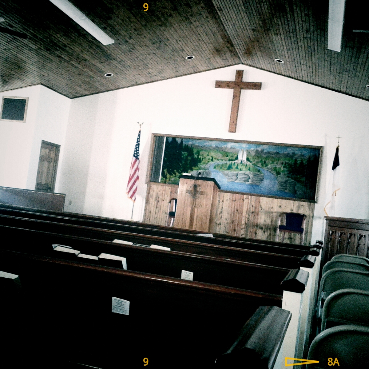
Faith Bible Baptist Church

Joy, Self, Sin

Colorado Christmas
Yuma, CO 007
@stejesuslla The flash made it difficult to see. But this sweet scooter is called #Stella
Topographic Map of Otis, CO, USA
Find elevation by address:

Places in Otis, CO, USA:
Places near Otis, CO, USA:
Washington County
Co Rd XX, Otis, CO, USA
Yuma
Akron
CO-63, Akron, CO, USA
Co Rd 30, Akron, CO, USA
Co Rd 12, Haxtun, CO, USA
Pinneo
Prewitt Reservoir
Co Rd, Sterling, CO, USA
Cope
Atwood
Merino
2500 E Chestnut St
615 Fairhurst St
25 E Chestnut St
Sterling
312 Hereford Ave
12456 Co Rd 37
E Weston St, Fleming, CO, USA
Recent Searches:
- Elevation of North 8th Street, Palatka, Putnam County, Florida, 32177, USA
- Elevation of 107, Big Apple Road, East Palatka, Putnam County, Florida, 32131, USA
- Elevation of Jiezi, Chongzhou City, Sichuan, China
- Elevation of Chongzhou City, Sichuan, China
- Elevation of Huaiyuan, Chongzhou City, Sichuan, China
- Elevation of Qingxia, Chengdu, Sichuan, China
- Elevation of Corso Fratelli Cairoli, 35, Macerata MC, Italy
- Elevation of Tallevast Rd, Sarasota, FL, USA
- Elevation of 4th St E, Sonoma, CA, USA
- Elevation of Black Hollow Rd, Pennsdale, PA, USA
- Elevation of Oakland Ave, Williamsport, PA, USA
- Elevation of Pedrógão Grande, Portugal
- Elevation of Klee Dr, Martinsburg, WV, USA
- Elevation of Via Roma, Pieranica CR, Italy
- Elevation of Tavkvetili Mountain, Georgia
- Elevation of Hartfords Bluff Cir, Mt Pleasant, SC, USA
- Elevation of SW Barberry Dr, Beaverton, OR, USA
- Elevation of Old Ahsahka Grade, Ahsahka, ID, USA
- Elevation of State Hwy F, Pacific, MO, USA
- Elevation of Chemin de Bel air, Chem. de Bel air, Mougins, France