Elevation of Washburn Rd, Washburn, ME, USA
Location: United States > Maine > Aroostook County > Washburn >
Longitude: -68.096678
Latitude: 46.754997
Elevation: 138m / 453feet
Barometric Pressure: 100KPa
Elevation Map:
Satellite Map:
Related Photos:
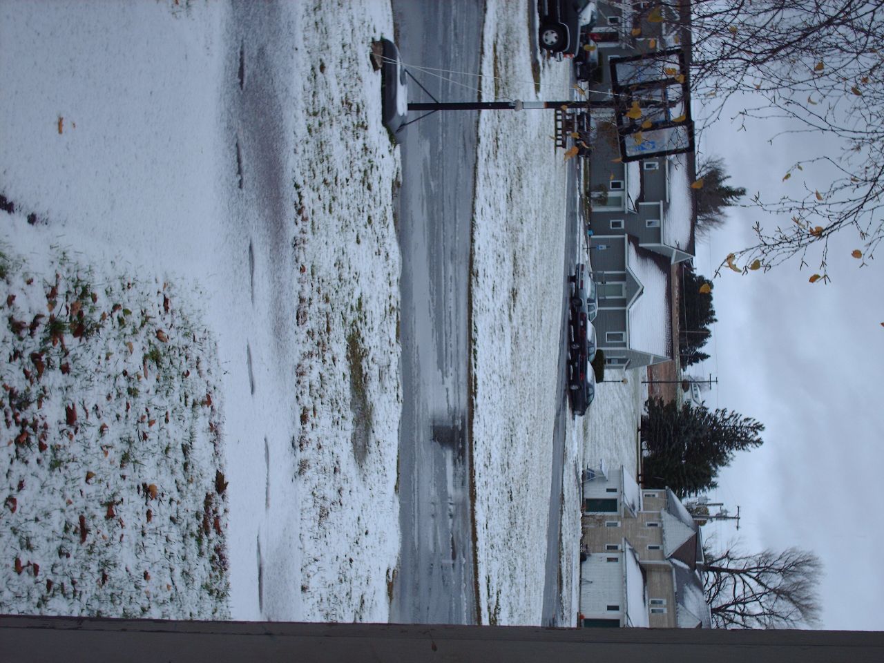
Second Snowfall
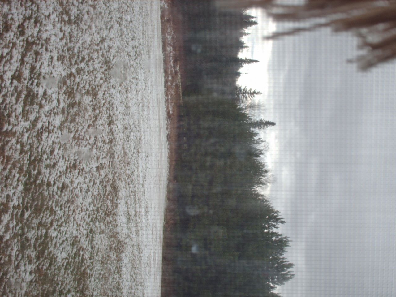
Snow in the backyard

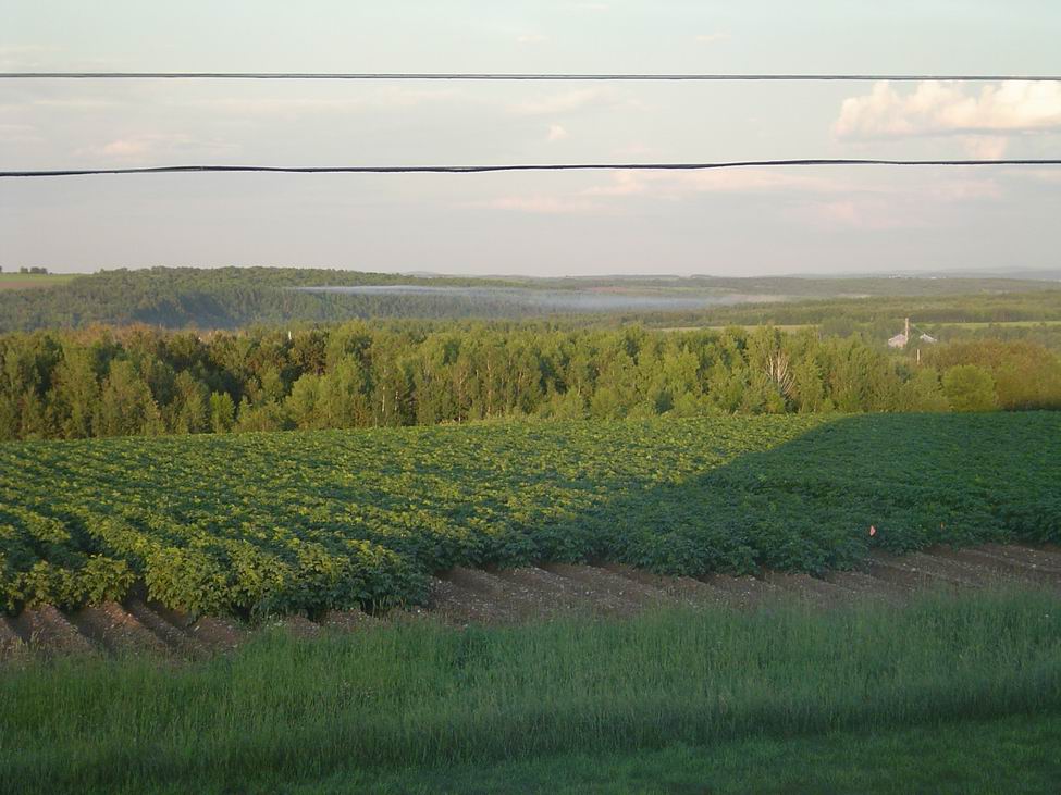
My View
sunset-2-27-04b
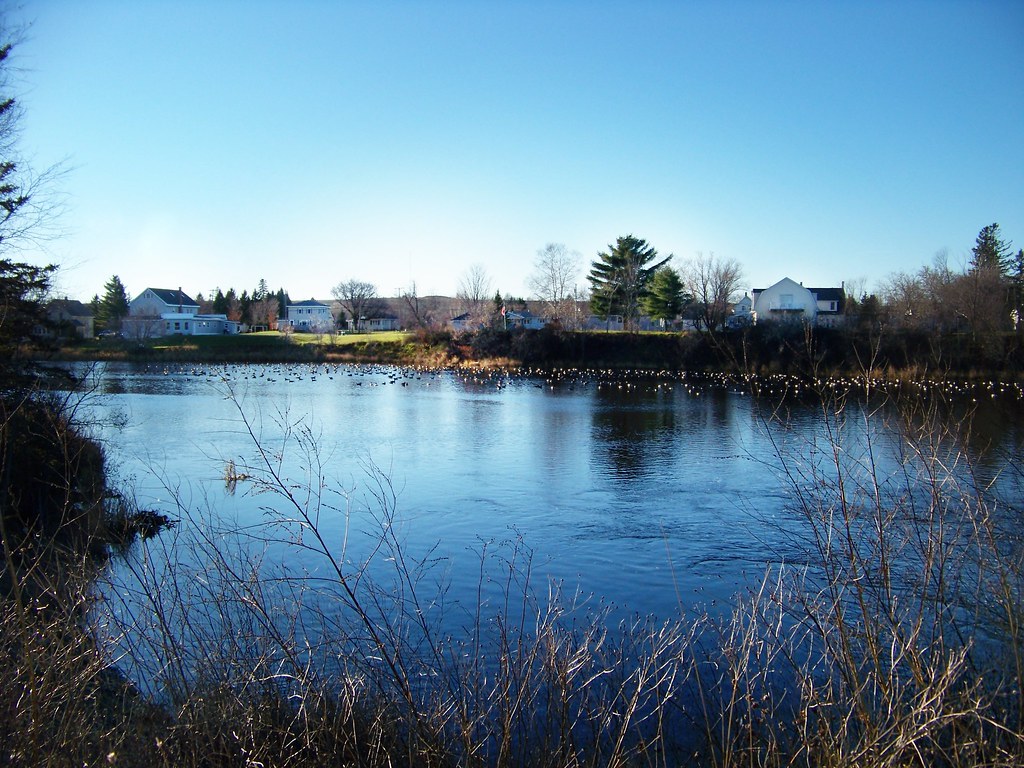
Mantle Lake Park, Presque Isle Maine
Autographic color test.

sunset-6-13-04c
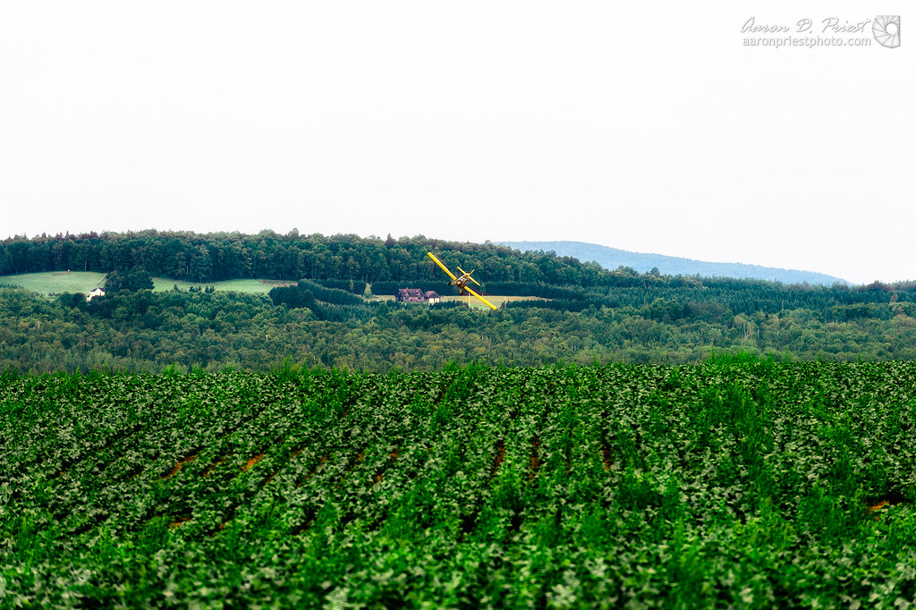
sunset-runway
sunset-4-30-2004
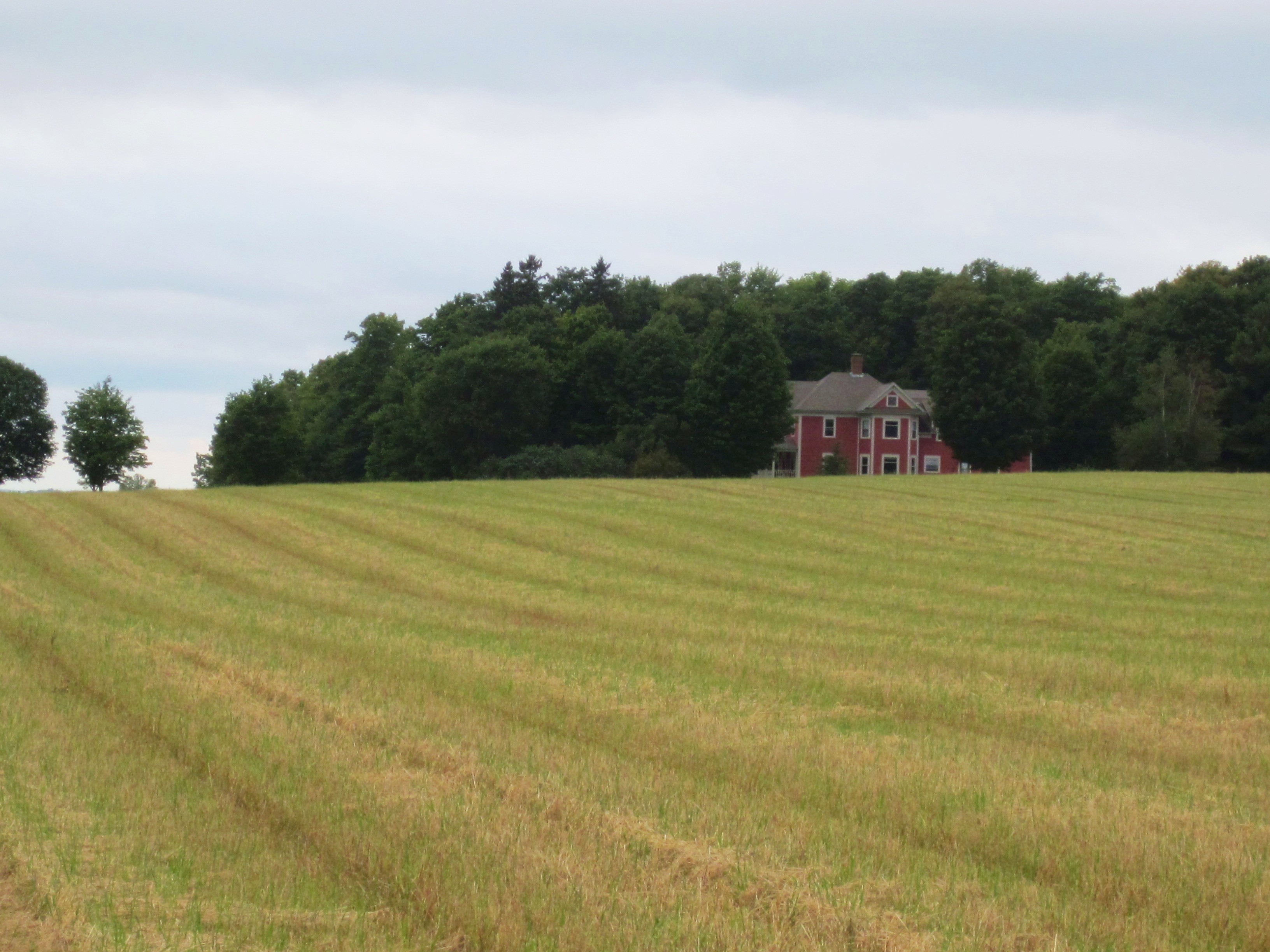
Aroostook County: Red House
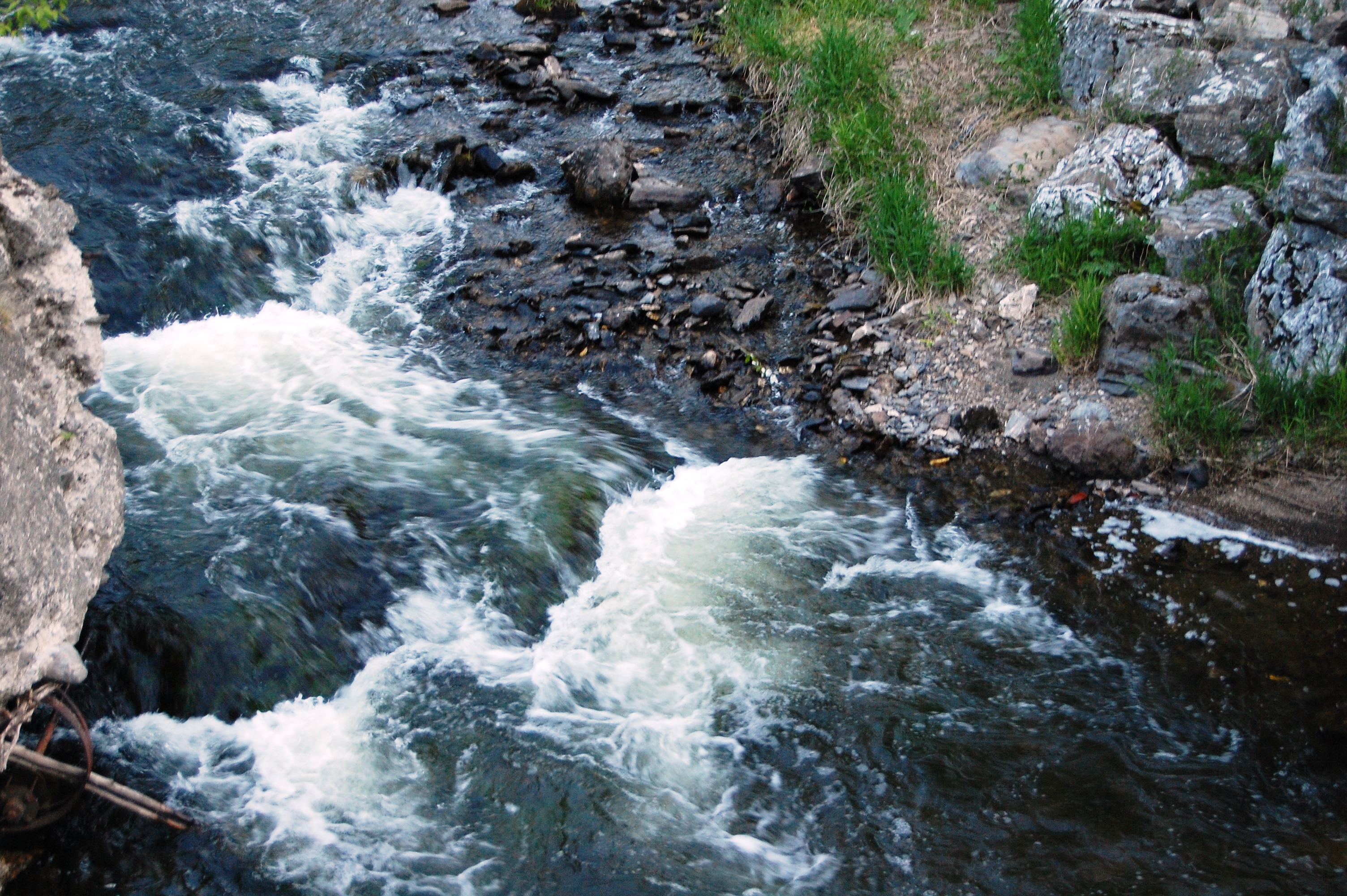
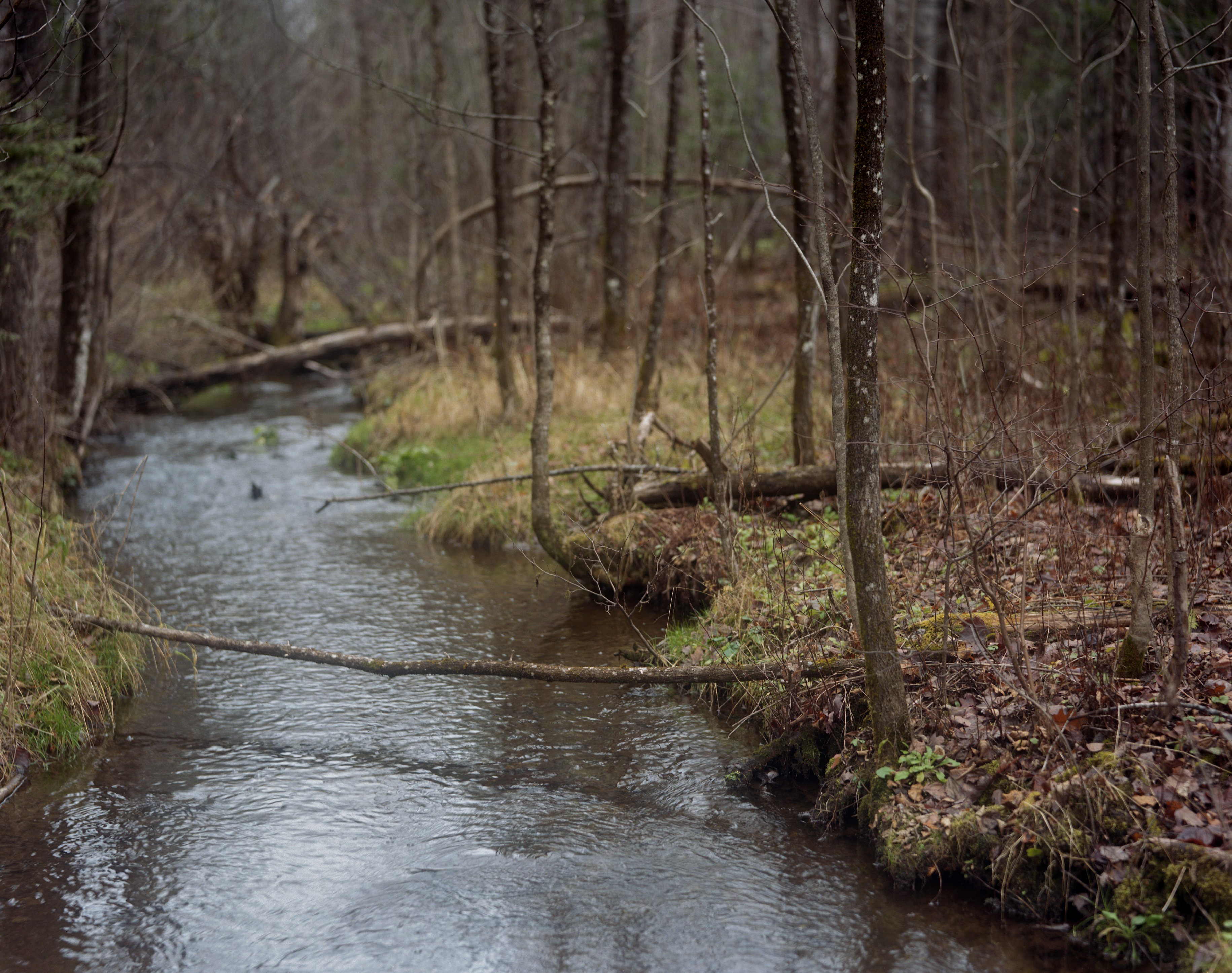
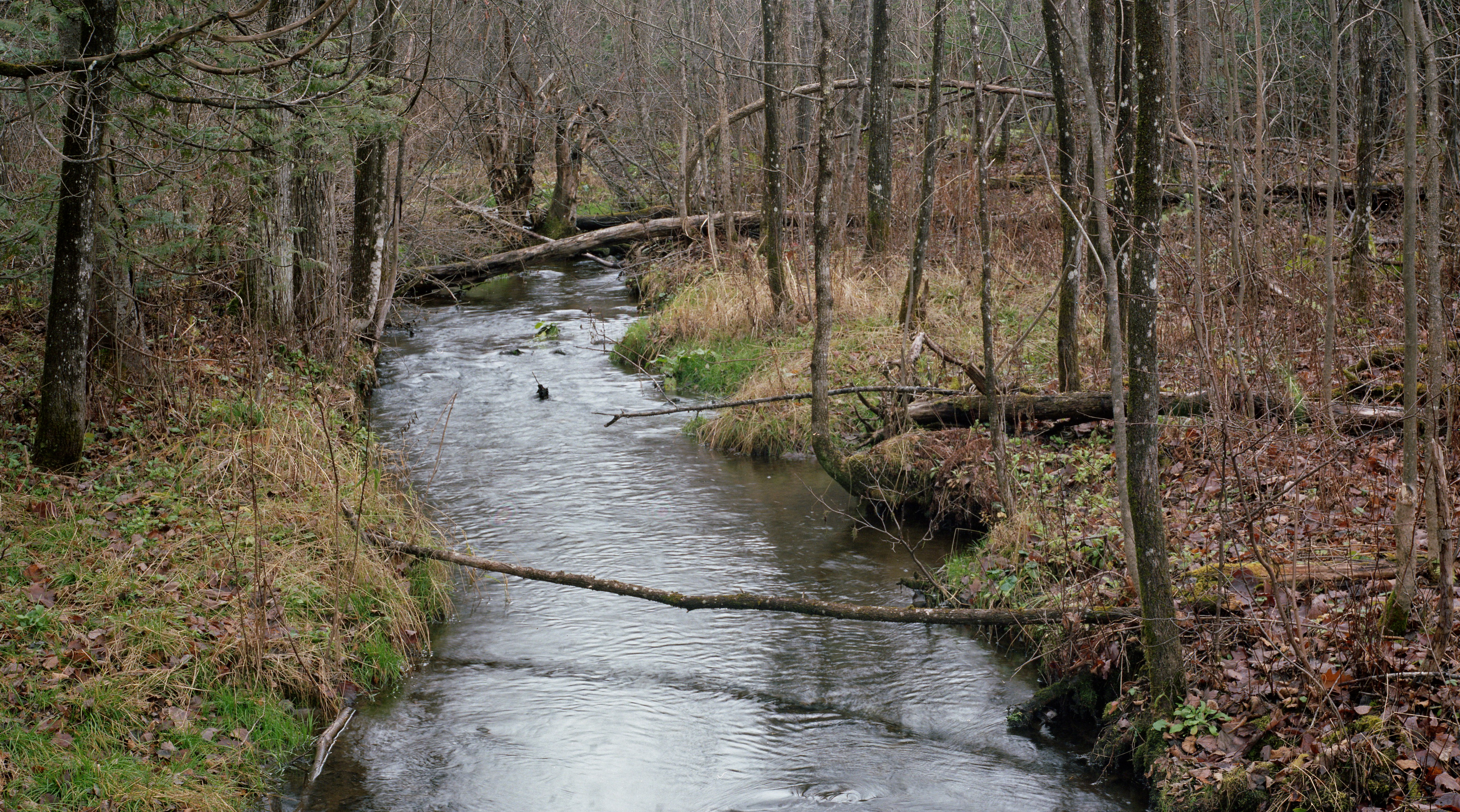
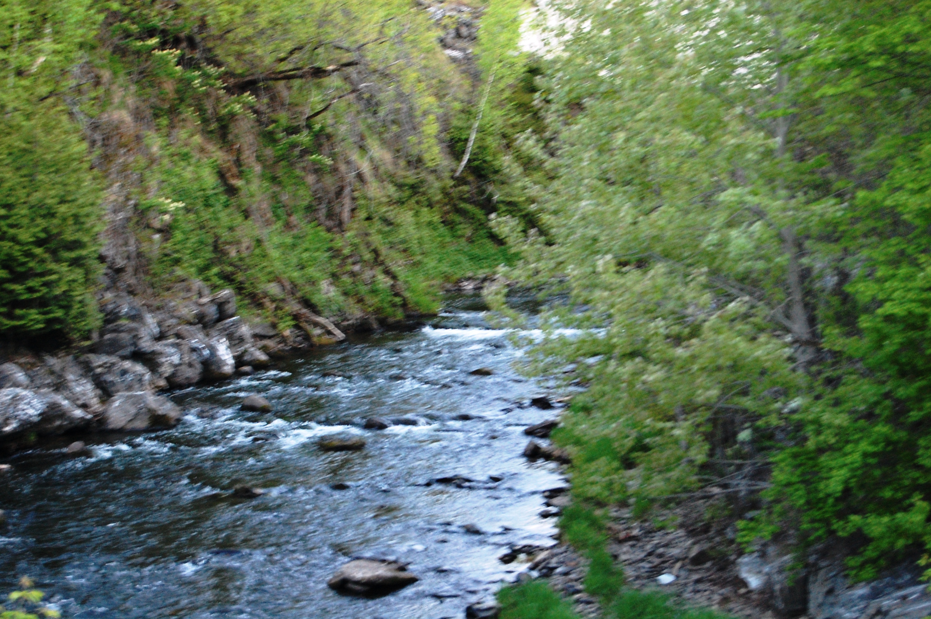
Aroostook River

2012-08-26-99163
Last Embers of Fall

sunset-8-24-04d
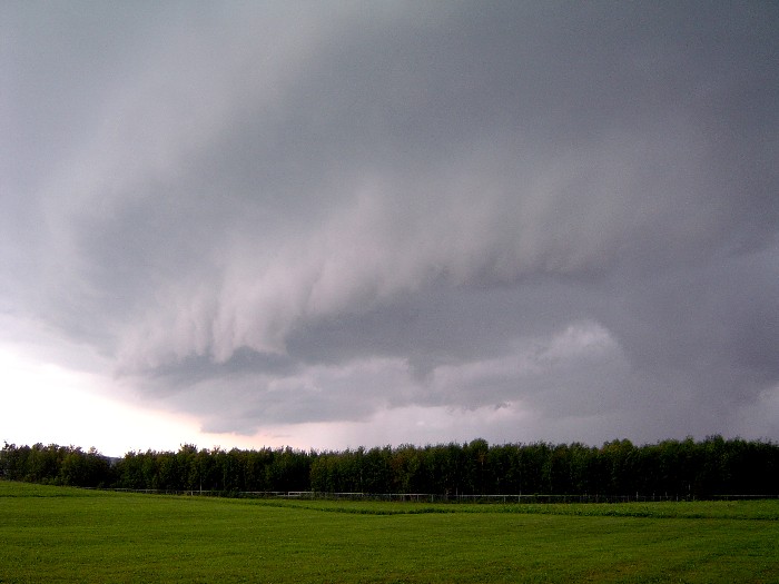
shelfcloud-7-31-04b
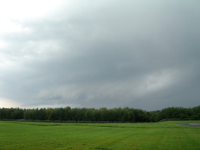
shelfcloud-7-31-04a

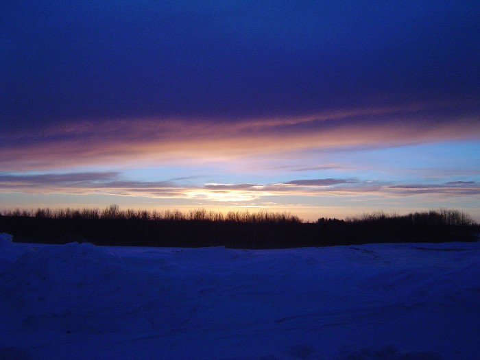
Sunrise 1
2012-08-26-98927
fog forming
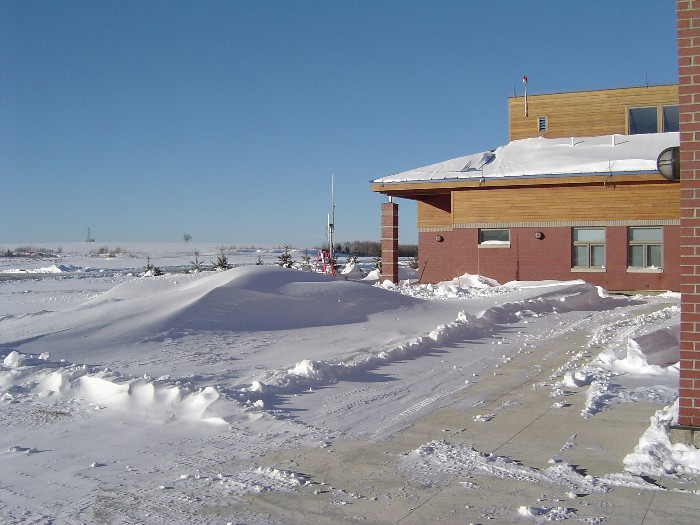
snow-1-21-04d

snow-12-15-03l
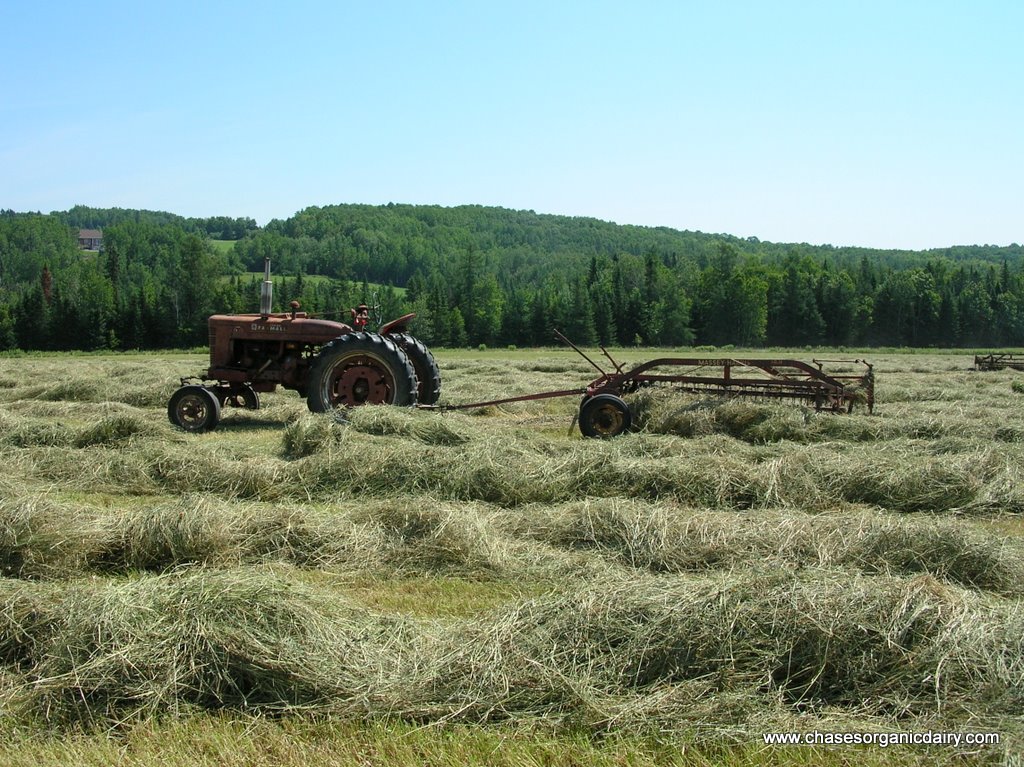
DSCN7089.JPG
Aroostook River
July 20, 2013
Topographic Map of Washburn Rd, Washburn, ME, USA
Find elevation by address:

Places near Washburn Rd, Washburn, ME, USA:
State Road Advent Christian Church
State Road
1030 Skyway St
89 State St, Presque Isle, ME, USA
380 Carvell Rd
69 Caribou Rd
Mapleton
Presque Isle
24 Barton St
Presque Isle, ME, USA
W Chapman Rd, Chapman, ME, USA
Chapman
Reach Road
1513 Chapman Rd
The Aroostook Medical Center
217 Houlton Rd
Spragueville Rd, Presque Isle, ME, USA
450 Fort Fairfield Rd
Quaggy Joe
228 Egypt Rd
Recent Searches:
- Elevation of Corcoran Ln, Suffolk, VA, USA
- Elevation of Mamala II, Sariaya, Quezon, Philippines
- Elevation of Sarangdanda, Nepal
- Elevation of 7 Waterfall Way, Tomball, TX, USA
- Elevation of SW 57th Ave, Portland, OR, USA
- Elevation of Crocker Dr, Vacaville, CA, USA
- Elevation of Pu Ngaol Community Meeting Hall, HWHM+3X7, Krong Saen Monourom, Cambodia
- Elevation of Royal Ontario Museum, Queens Park, Toronto, ON M5S 2C6, Canada
- Elevation of Groblershoop, South Africa
- Elevation of Power Generation Enterprises | Industrial Diesel Generators, Oak Ave, Canyon Country, CA, USA