Elevation of Chapman Rd, Chapman, ME, USA
Location: United States > Maine > Aroostook County > Chapman >
Longitude: -68.060101
Latitude: 46.63397
Elevation: 158m / 518feet
Barometric Pressure: 99KPa
Elevation Map:
Satellite Map:
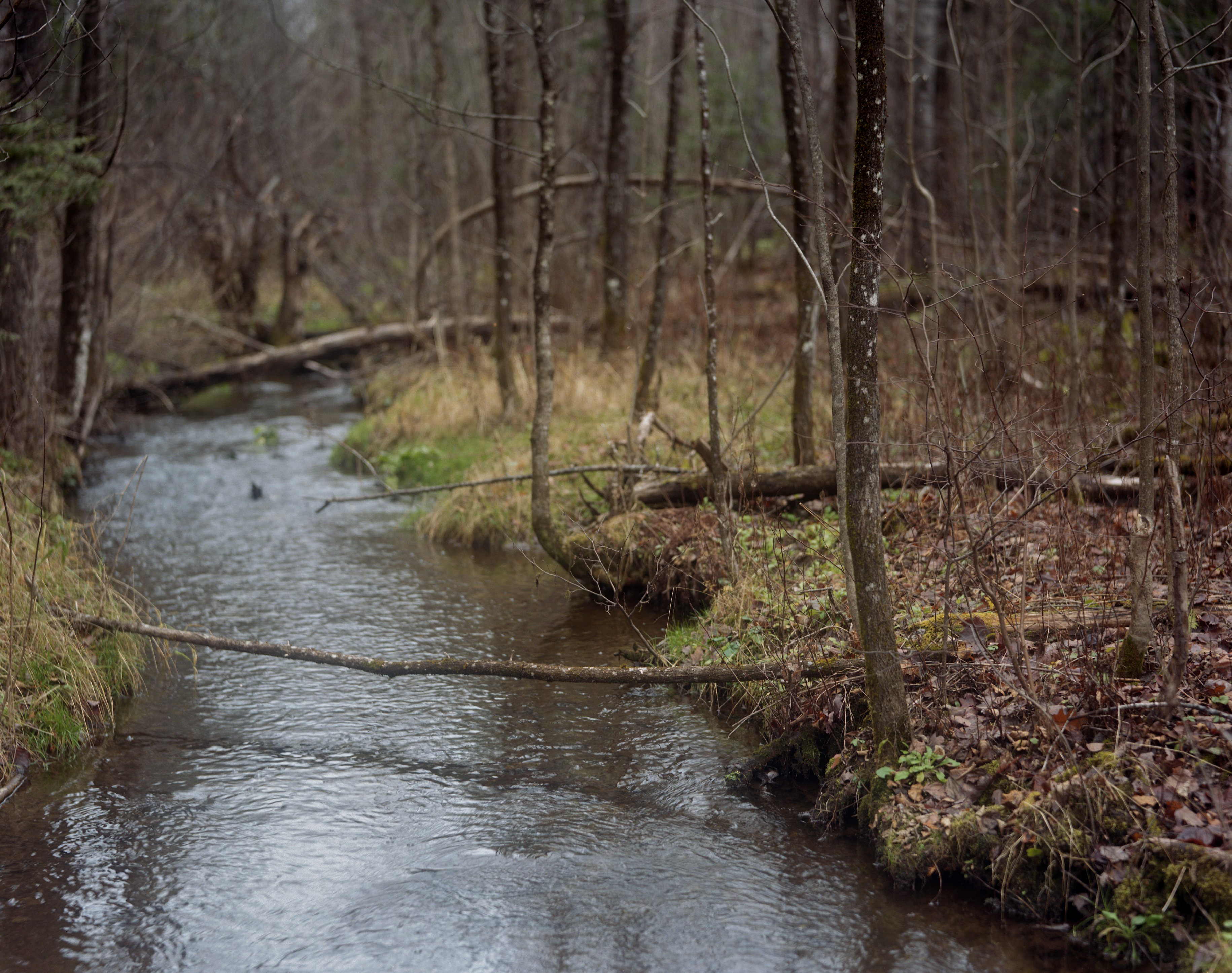
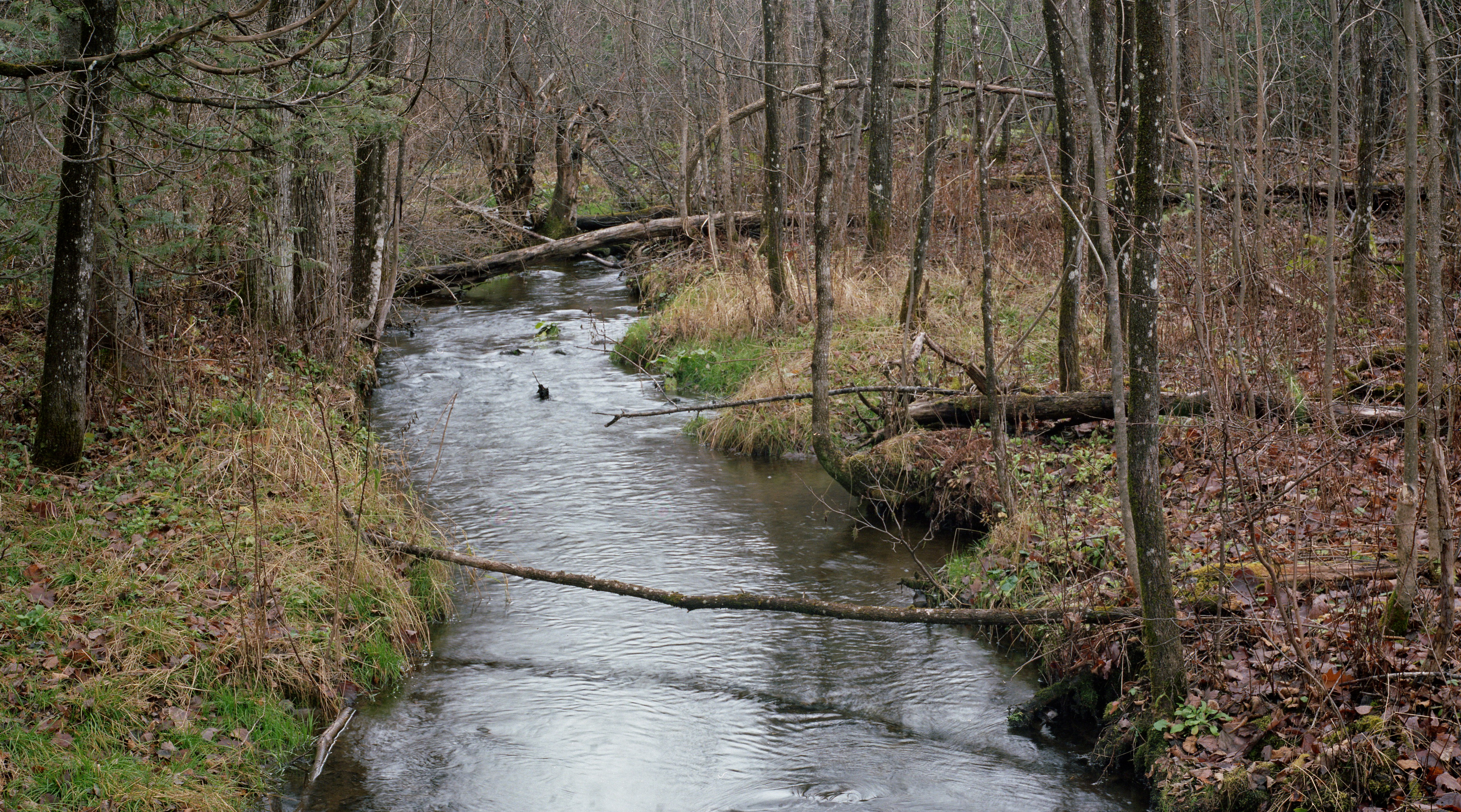
Related Photos:
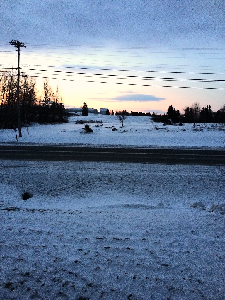
My early morning view
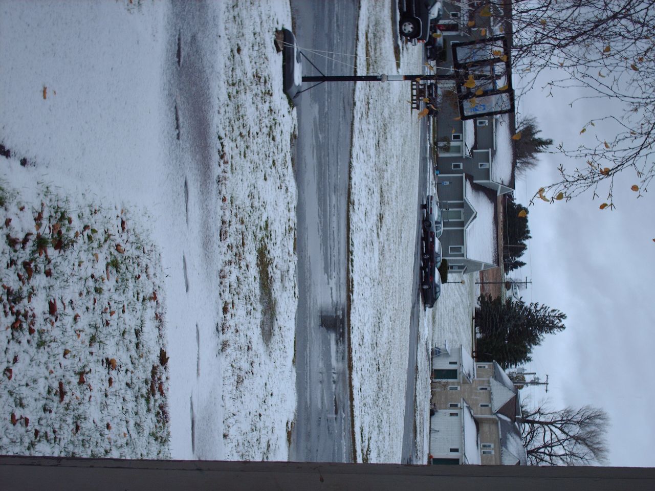
Second Snowfall
Snow in the backyard
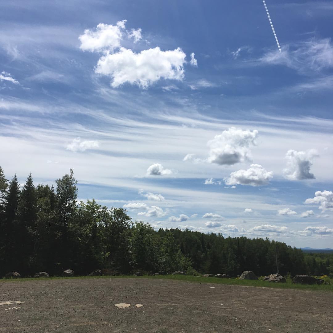
The view from Haystack trailhead lot. #maine #hiking
Mantle Lake Park, Presque Isle Maine
Autographic color test.

Amish strawmen: Easton Center, ME

2012-08-26-98927

2012-08-26-98781

2012-08-26-99163

Sunrise 1

One sunset for the road

DSCN7089.JPG

First day canoeing, paddle stroke demo on the dock & wood canvas boat in the water.
Topographic Map of Chapman Rd, Chapman, ME, USA
Find elevation by address:

Places near Chapman Rd, Chapman, ME, USA:
Spragueville Rd, Presque Isle, ME, USA
217 Houlton Rd
380 Carvell Rd
Quaggy Joe
Presque Isle
1030 Skyway St
24 Barton St
The Aroostook Medical Center
89 State St, Presque Isle, ME, USA
69 Caribou Rd
Presque Isle, ME, USA
Chapman
W Chapman Rd, Chapman, ME, USA
Mapleton
State Road Advent Christian Church
Washburn Rd, Washburn, ME, USA
228 Egypt Rd
State Road
Reach Road
Easton
Recent Searches:
- Elevation of Congressional Dr, Stevensville, MD, USA
- Elevation of Bellview Rd, McLean, VA, USA
- Elevation of Stage Island Rd, Chatham, MA, USA
- Elevation of Shibuya Scramble Crossing, 21 Udagawacho, Shibuya City, Tokyo -, Japan
- Elevation of Jadagoniai, Kaunas District Municipality, Lithuania
- Elevation of Pagonija rock, Kranto 7-oji g. 8"N, Kaunas, Lithuania
- Elevation of Co Rd 87, Jamestown, CO, USA
- Elevation of Tenjo, Cundinamarca, Colombia
- Elevation of Côte-des-Neiges, Montreal, QC H4A 3J6, Canada
- Elevation of Bobcat Dr, Helena, MT, USA