Elevation of Skyway St, Presque Isle, ME, USA
Location: United States > Maine > Aroostook County > Presque Isle >
Longitude: -68.046984
Latitude: 46.699453
Elevation: 156m / 512feet
Barometric Pressure: 99KPa
Elevation Map:
Satellite Map:
Related Photos:
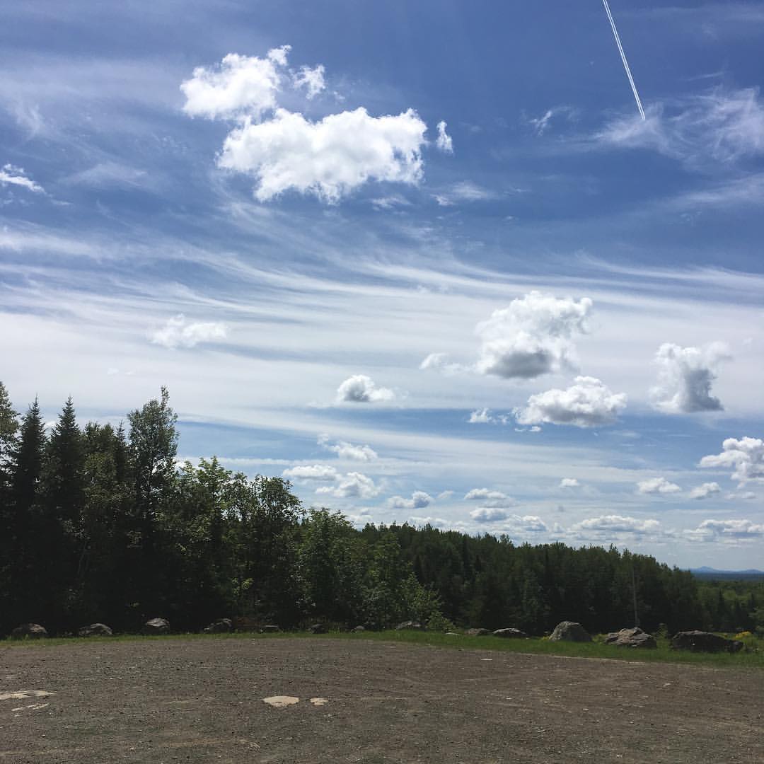
Up In The Clouds
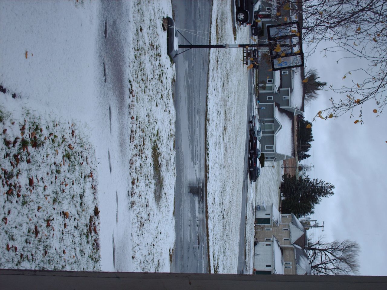
Second Snowfall
Snow in the backyard
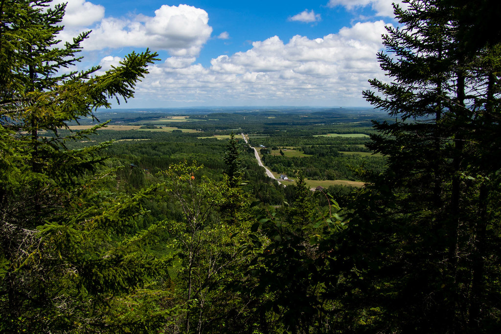
The view from Haystack trailhead lot. #maine #hiking

Mantle Lake Park, Presque Isle Maine
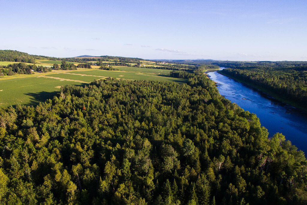
Potatoes and Rivers

2012-08-26-99163

fall colors at Lake Josephine, Easton, Maine
Autographic color test.
July 21, 2013

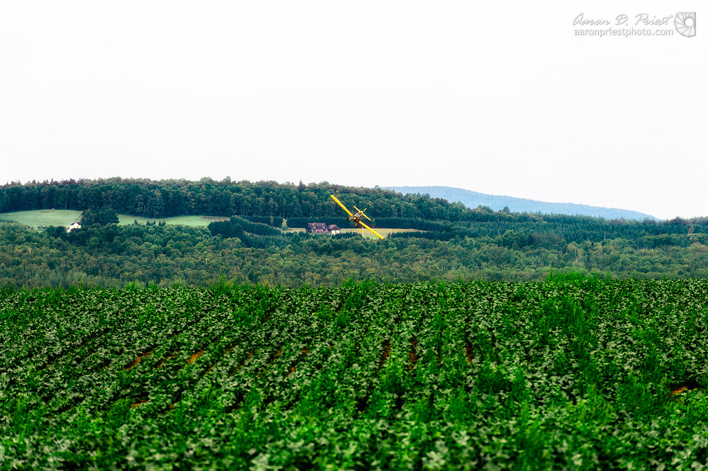
Taking Off From Presque Isle

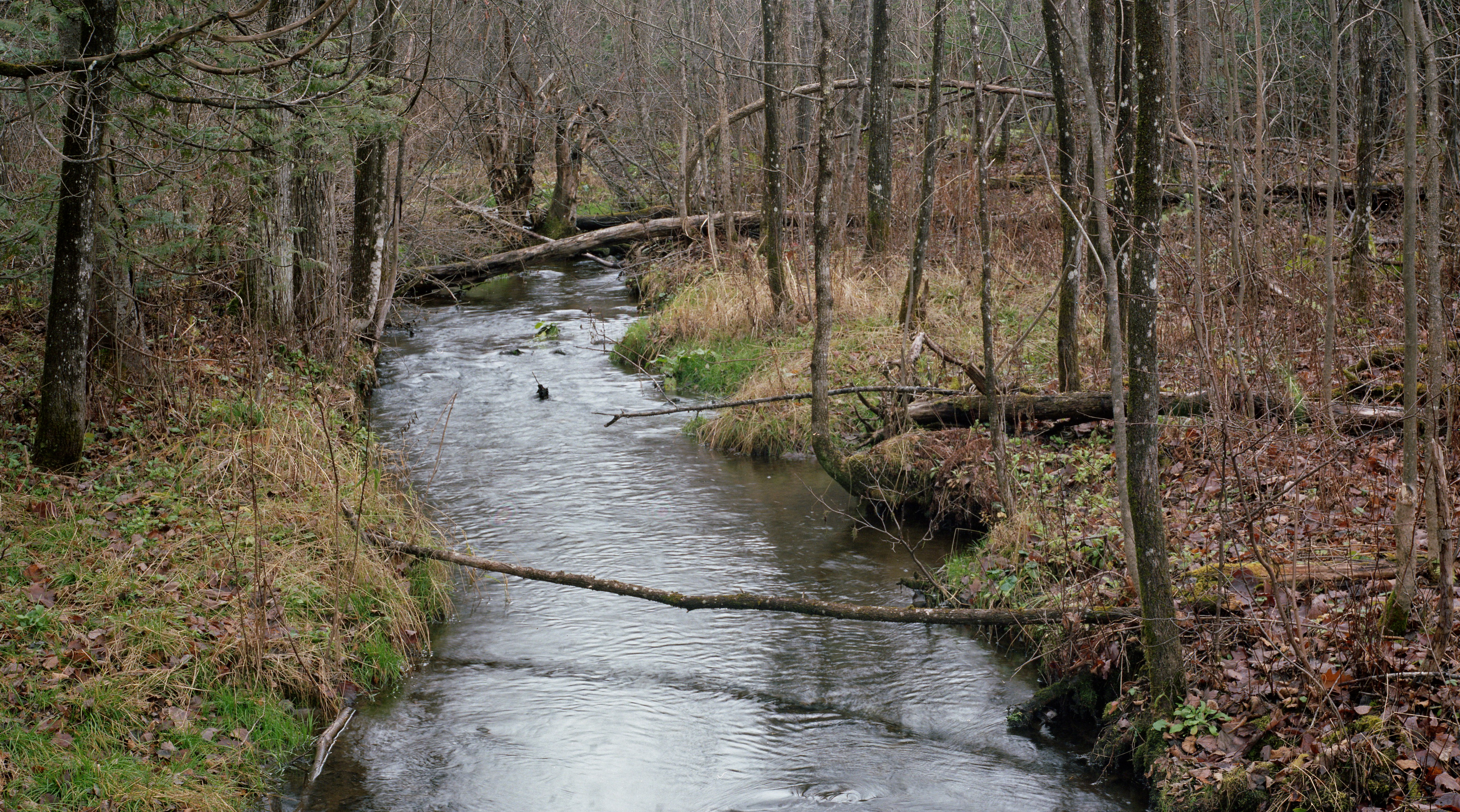
Christiana Reservoir Outlet

2012-08-26-98781

Taking Off From Presque Isle

Amish strawmen: Easton Center, ME
2012-08-26-98927

Taking Off From Presque Isle

DSCN7089.JPG
Topographic Map of Skyway St, Presque Isle, ME, USA
Find elevation by address:

Places near Skyway St, Presque Isle, ME, USA:
89 State St, Presque Isle, ME, USA
Presque Isle
69 Caribou Rd
24 Barton St
The Aroostook Medical Center
Presque Isle, ME, USA
1513 Chapman Rd
380 Carvell Rd
State Road Advent Christian Church
Washburn Rd, Washburn, ME, USA
217 Houlton Rd
Spragueville Rd, Presque Isle, ME, USA
Reach Road
Quaggy Joe
State Road
Mapleton
450 Fort Fairfield Rd
Chapman
W Chapman Rd, Chapman, ME, USA
228 Egypt Rd
Recent Searches:
- Elevation of Kambingan Sa Pansol Atbp., Purok 7 Pansol, Candaba, Pampanga, Philippines
- Elevation of Pinewood Dr, New Bern, NC, USA
- Elevation of Mountain View, CA, USA
- Elevation of Foligno, Province of Perugia, Italy
- Elevation of Blauwestad, Netherlands
- Elevation of Bella Terra Blvd, Estero, FL, USA
- Elevation of Estates Loop, Priest River, ID, USA
- Elevation of Woodland Oak Pl, Thousand Oaks, CA, USA
- Elevation of Brownsdale Rd, Renfrew, PA, USA
- Elevation of Corcoran Ln, Suffolk, VA, USA