Elevation of Walnut Creek Rd, Marshall, NC, USA
Location: United States > North Carolina > Madison County > 1, North Marshall > Marshall >
Longitude: -82.663913
Latitude: 35.8834146
Elevation: 762m / 2500feet
Barometric Pressure: 92KPa
Elevation Map:
Satellite Map:
Related Photos:
Red Barn with Tree
I-26 West view
Old House ☛ New Bank

View from W4T/SU-024 - High Rock

tracks & mountains

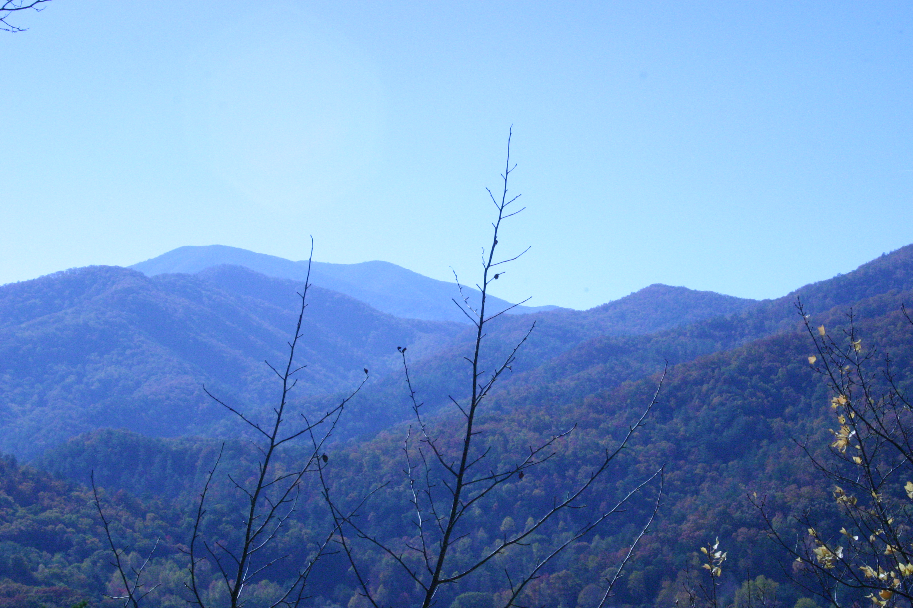
A mountain view

IMG_1838_tonemapped-2
Check out the#beautiful#view in the#mirror
William Tyler at Transfigurations II (the view from the closest shady spot)
Appalachian Trail
Appalachian Trail

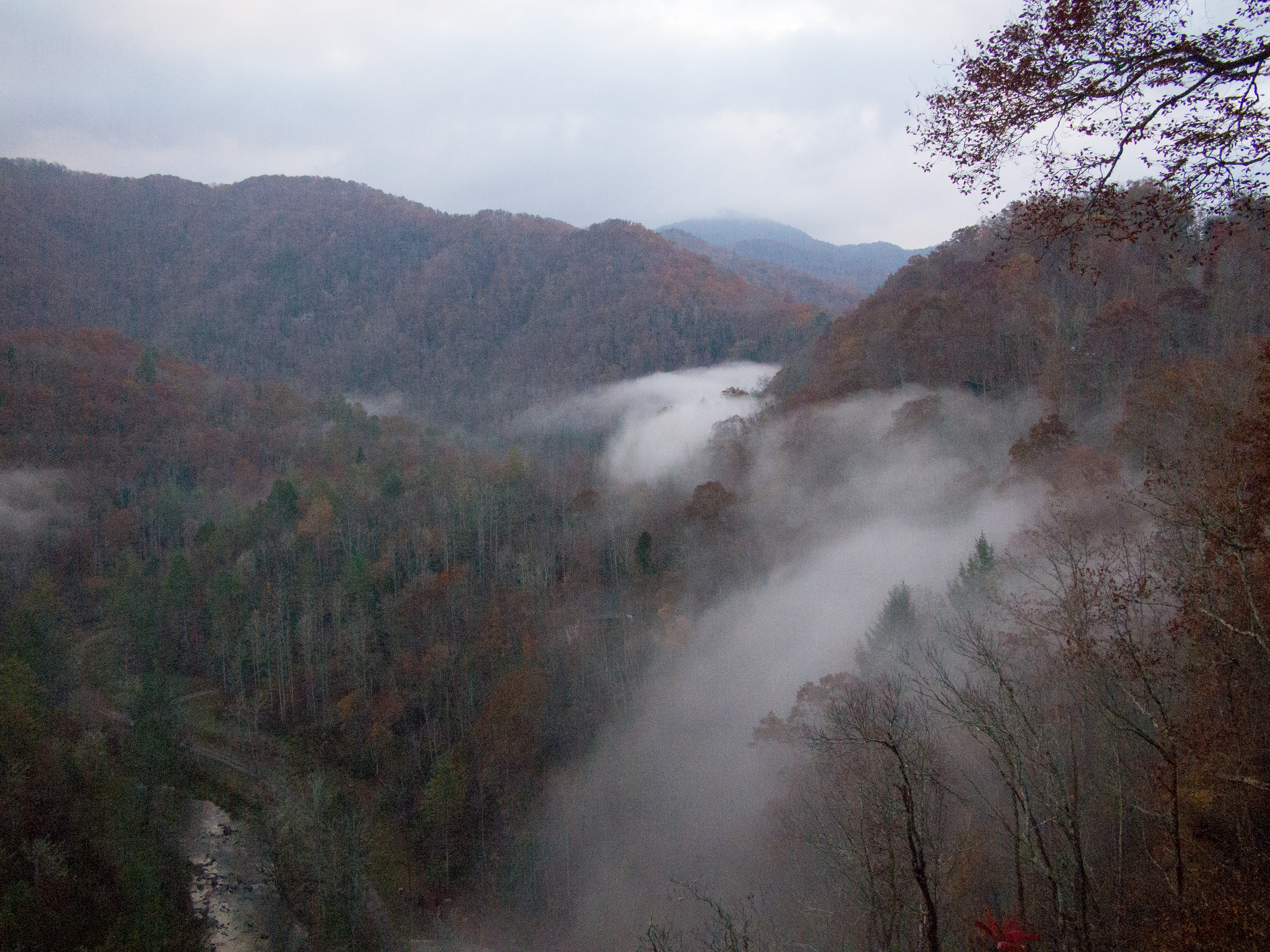
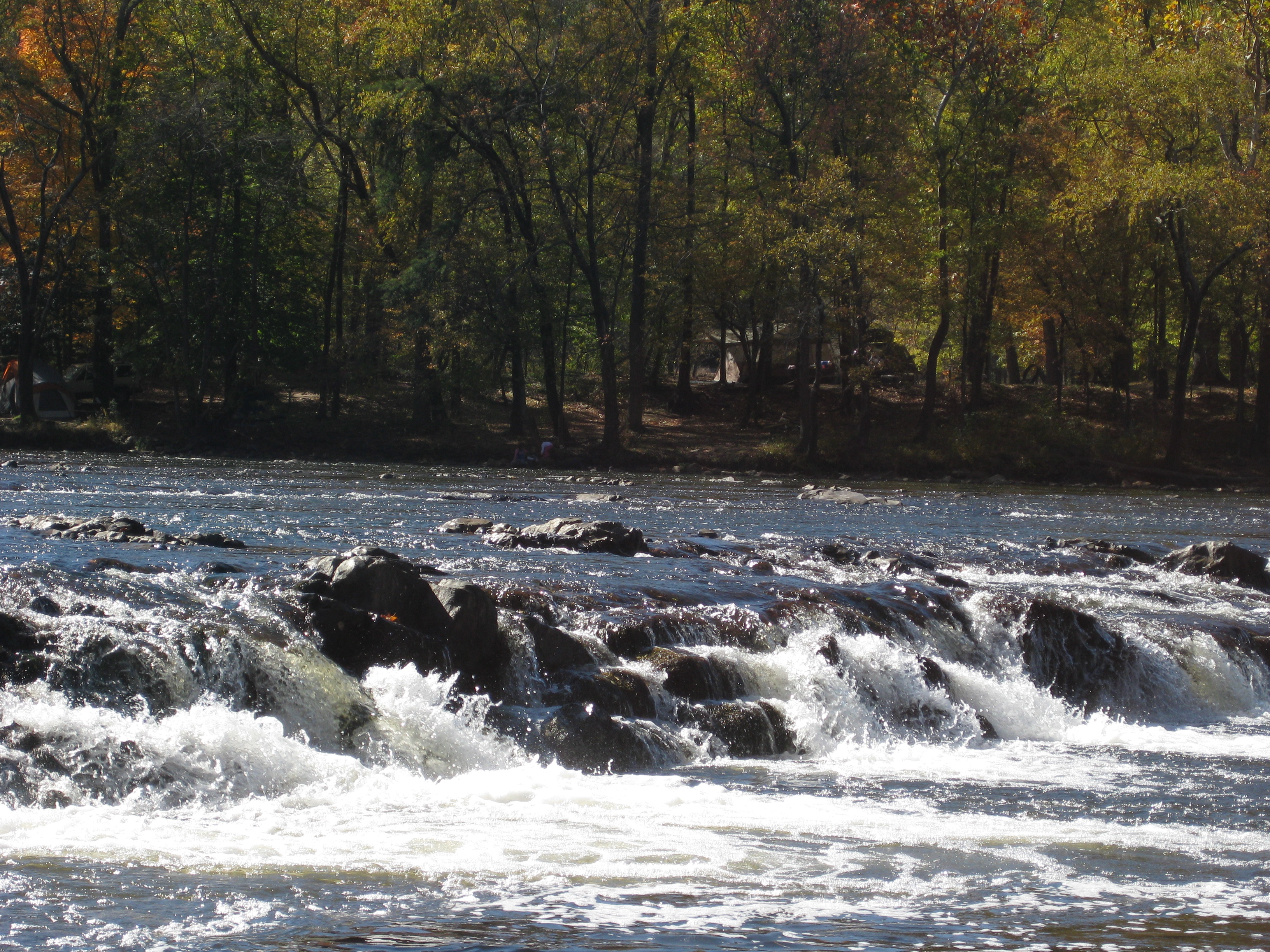
French Broad, Marshall NC
Rich Mountain Fire Tower

I-26 from the Overlook
View From our Tree

Marshall, North Carolina
View From the AT - from Divide Mtn looking at Sugarloaf
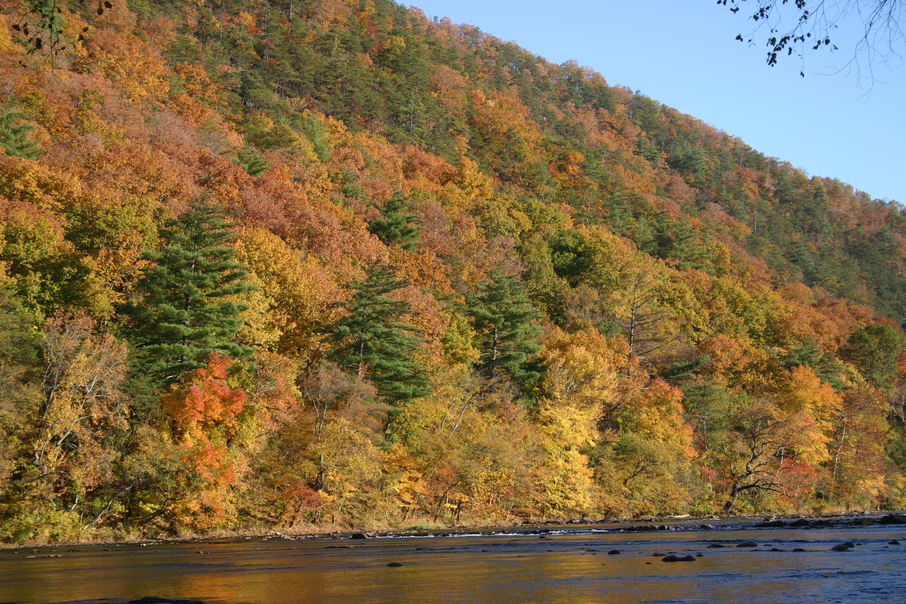
Marshall, NC, Contrasted View

110716-430 Mars Hill
View of Hot Springs from Lovers Leap.
the cabin
Sandy Bottom Trail Rides

Photo Stream-684
Photo Stream-682
DSC_0055.jpg

Hot Srings Oct 08 296
DSC_0036.jpg
Hot Srings Oct 08 242

French Broad River and Hot Springs, North Carolina from Lover's Leap on the Appalachian Trail.
DSC_0040.jpg
Sandy Bottom Trail Rides
Hot Springs Oct 08 179
Snowy Creek
Moment in August - Original Landscape Art Painting
on the road outside Asheville, NC
Hot Springs Oct 08 197
20131103-PB034447
Hot Srings Oct 08 236
Hot Springs Oct 08 017
DSC_0057.jpg
Hot Springs Oct 08 171
Hot Springs Oct 08 156
Topographic Map of Walnut Creek Rd, Marshall, NC, USA
Find elevation by address:

Places near Walnut Creek Rd, Marshall, NC, USA:
6239 Walnut Creek Rd
295 Heck Creek Rd
789 Jarrett Cove Rd
35 Norton Br Rd
320 Board Tree Rd
Palmer Camp Branch Road
18 Davis Ln
359 Henry Bradley Rd
Revere-rice Cove Community Development
3369 Revere Rd
Revere Road
Revere Road
11, Revere Rice Cove
Revere
2932 Big Laurel Rd
1804 Big Laurel Rd
1804 Big Laurel Rd
1804 Big Laurel Rd
1804 Big Laurel Rd
Chandler Cove Road
Recent Searches:
- Elevation of Royal Ontario Museum, Queens Park, Toronto, ON M5S 2C6, Canada
- Elevation of Groblershoop, South Africa
- Elevation of Power Generation Enterprises | Industrial Diesel Generators, Oak Ave, Canyon Country, CA, USA
- Elevation of Chesaw Rd, Oroville, WA, USA
- Elevation of N, Mt Pleasant, UT, USA
- Elevation of 6 Rue Jules Ferry, Beausoleil, France
- Elevation of Sattva Horizon, 4JC6+G9P, Vinayak Nagar, Kattigenahalli, Bengaluru, Karnataka, India
- Elevation of Great Brook Sports, Gold Star Hwy, Groton, CT, USA
- Elevation of 10 Mountain Laurels Dr, Nashua, NH, USA
- Elevation of 16 Gilboa Ln, Nashua, NH, USA