Elevation of Board Tree Rd, Marshall, NC, USA
Location: United States > North Carolina > Madison County > 1, North Marshall > Marshall >
Longitude: -82.69058
Latitude: 35.901089
Elevation: 688m / 2257feet
Barometric Pressure: 93KPa
Elevation Map:
Satellite Map:
Related Photos:
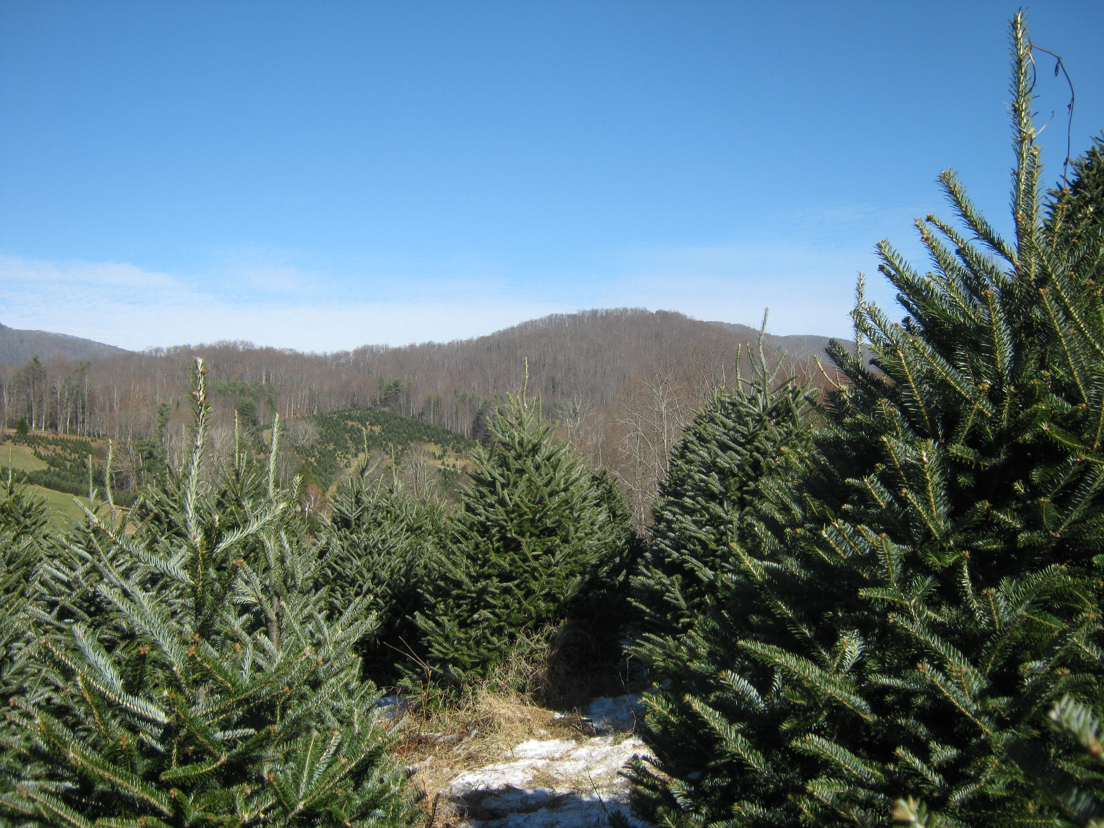
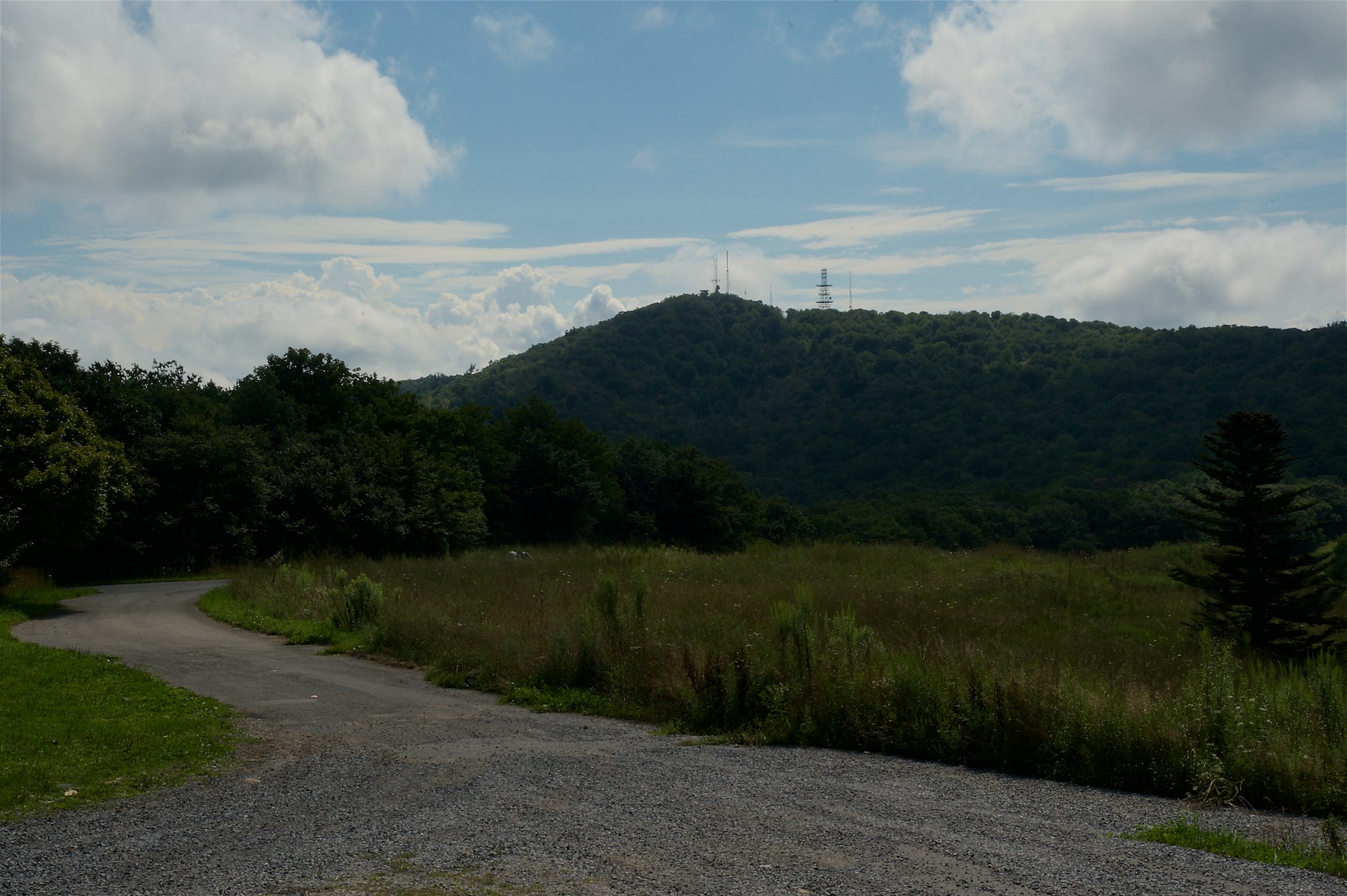
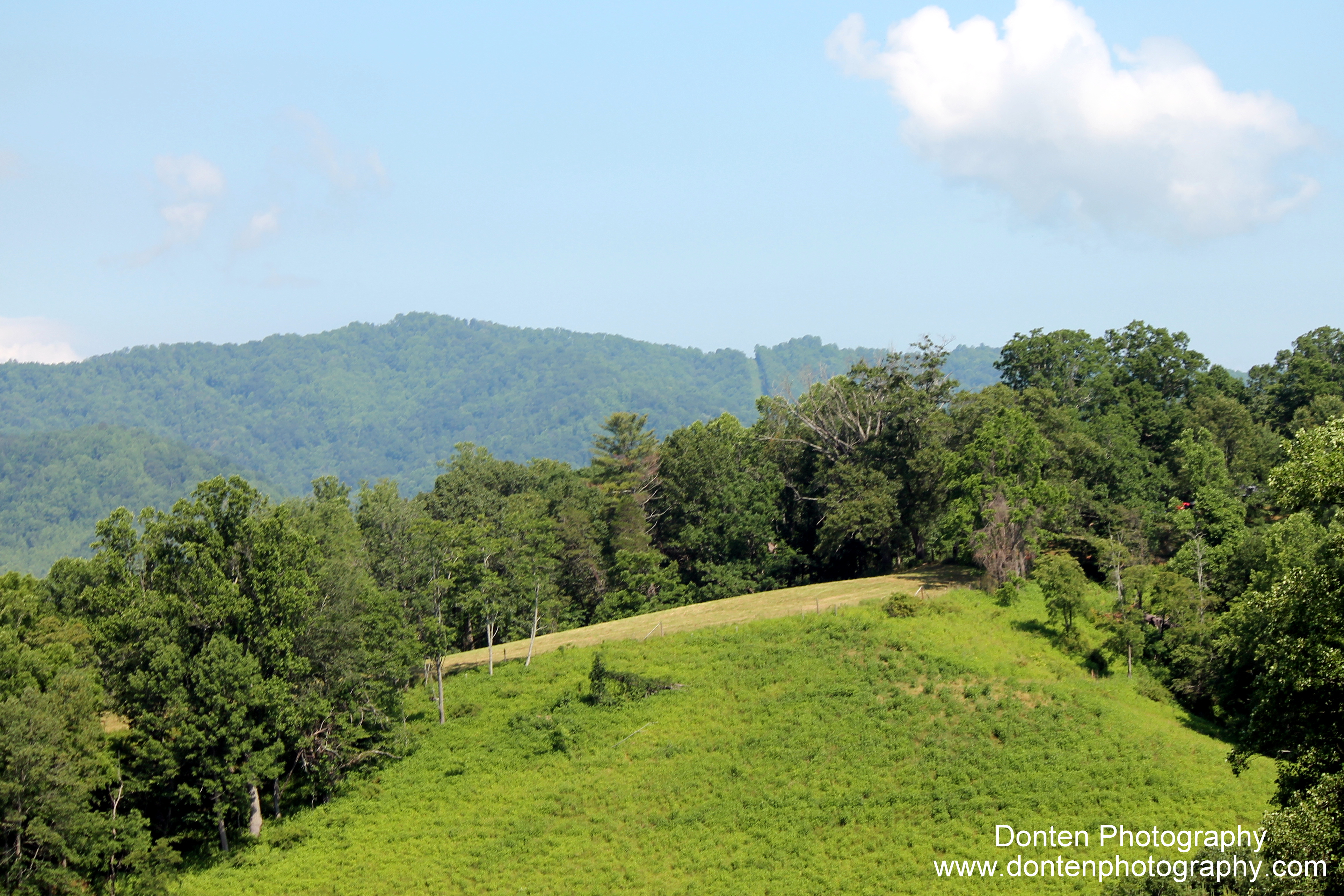
View From our Tree

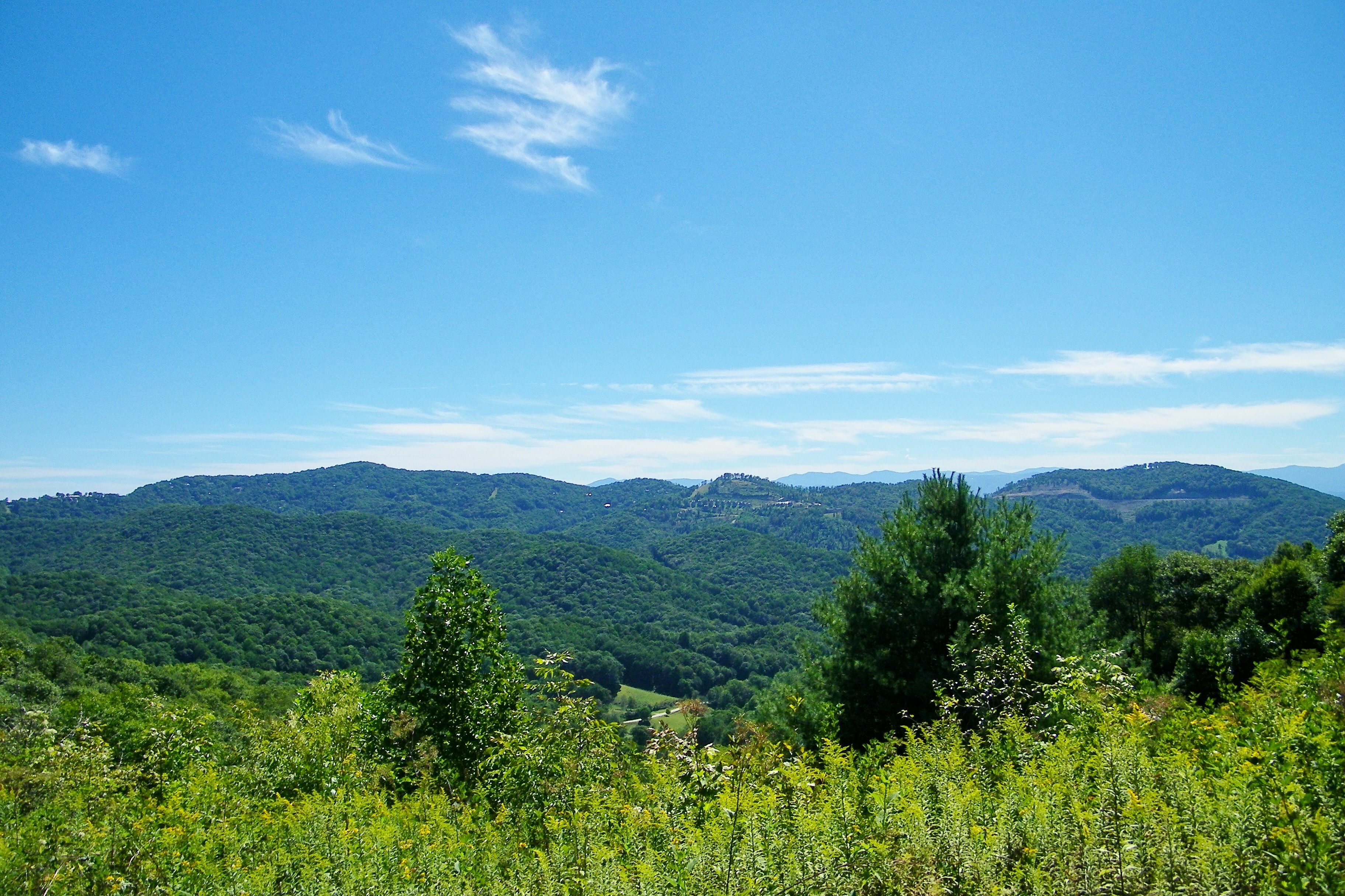
View From Rich Mountain Fire Tower

2014.08.24.43 Sams Gap

tracks & mountains

IMG_1838_tonemapped-2
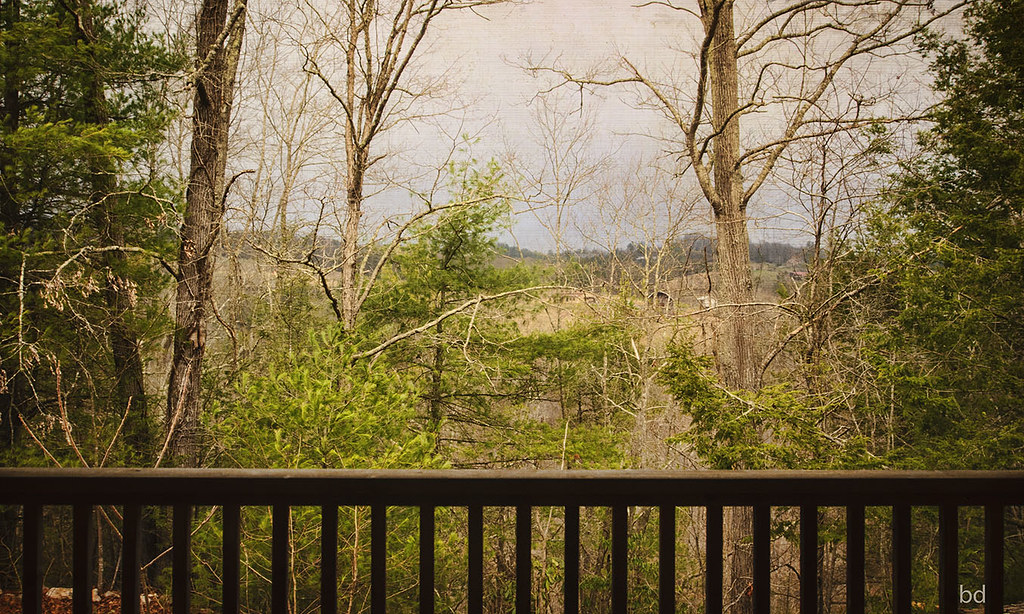
View from Sid's Veranda in Marshal NC.
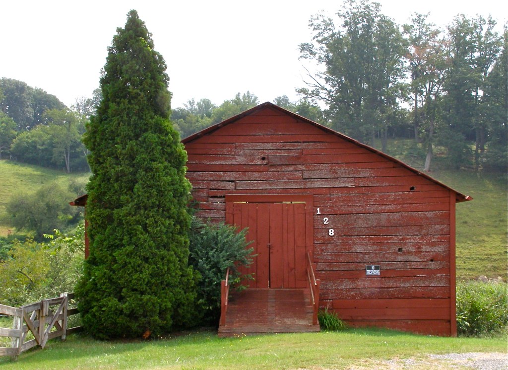
Red Barn with Tree
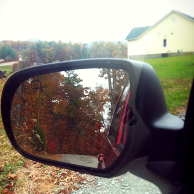
Check out the#beautiful#view in the#mirror
The Bank
NC 209 Scenic View
Mars Theatre
Old House ☛ New Bank
William Tyler at Transfigurations II (the view from the closest shady spot)
Camp Creek Bald Lookout Tower
Appalachian Trail
Camp Creek Bald Lookout Tower

French Broad, Marshall NC
View of W4C/CM-028 - Camp Creek Bald

View from W4T/SU-024 - High Rock
Appalachian Trail
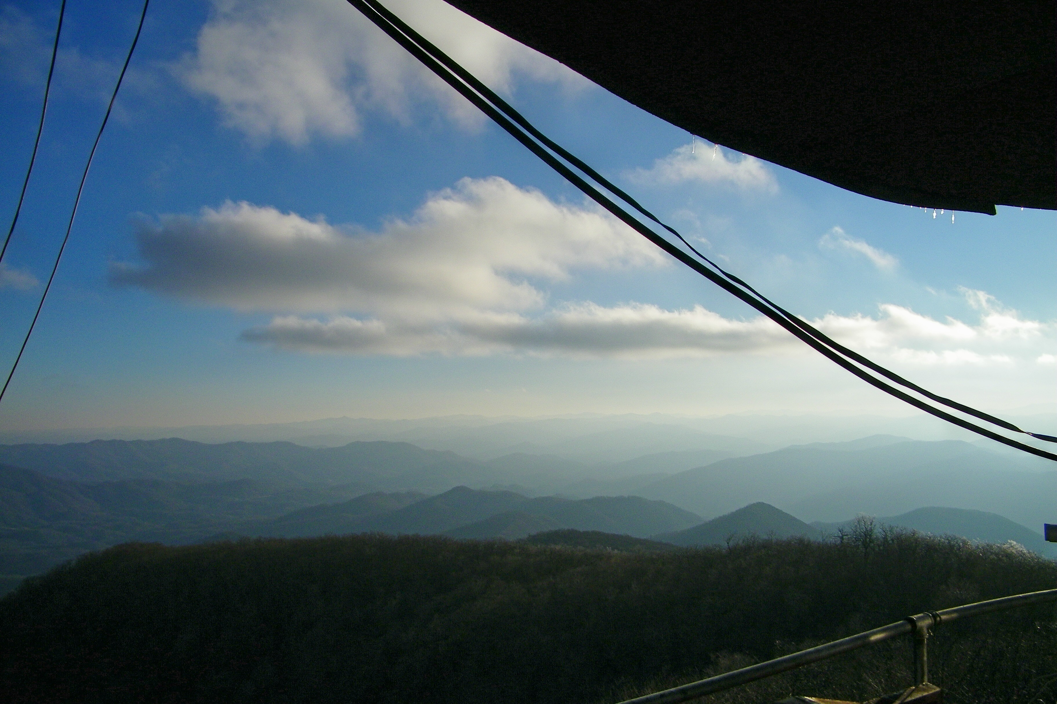
Camp Creek Bald Lookout Tower

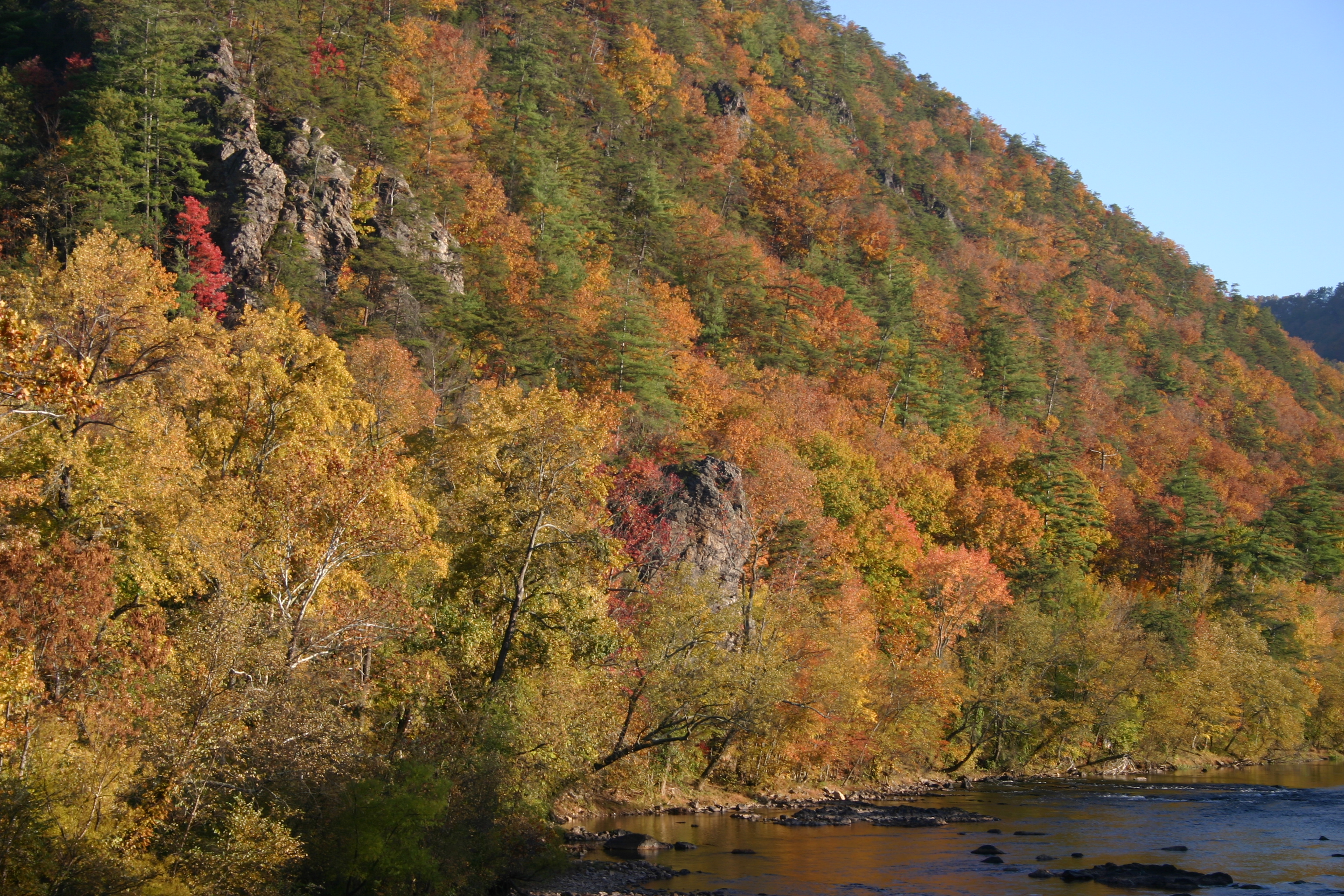
Tennesee Colors

Abandonded Forest Service Road in IR
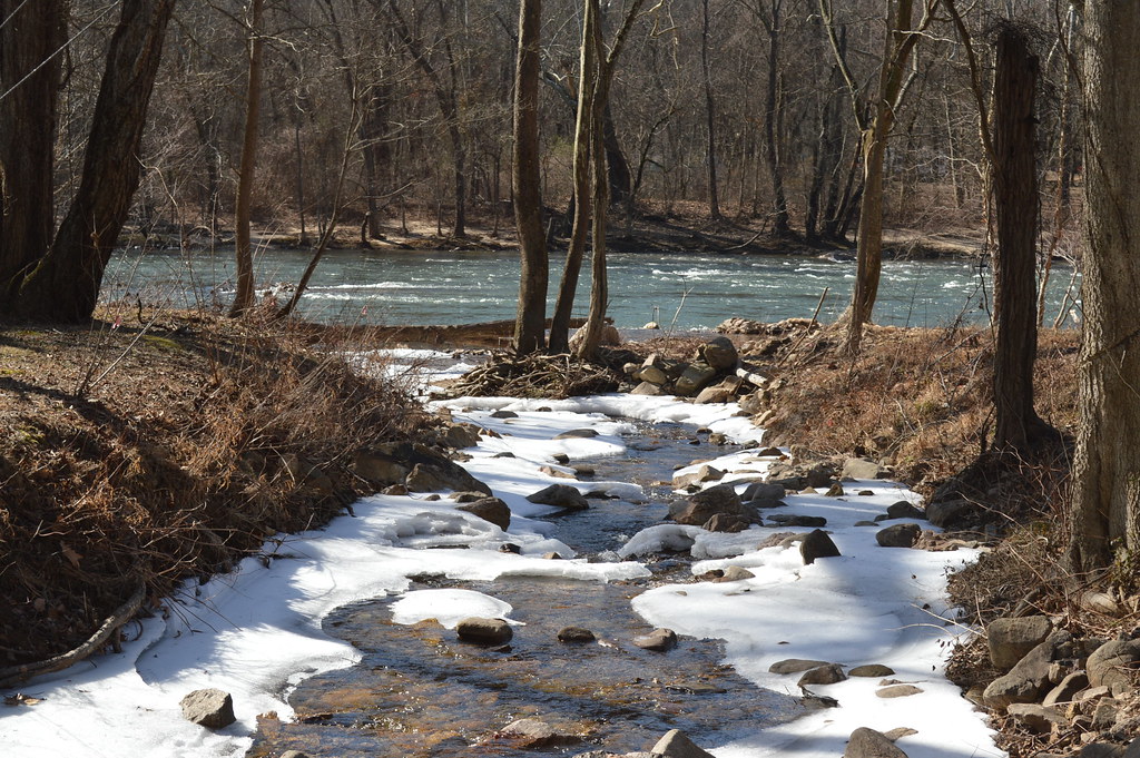
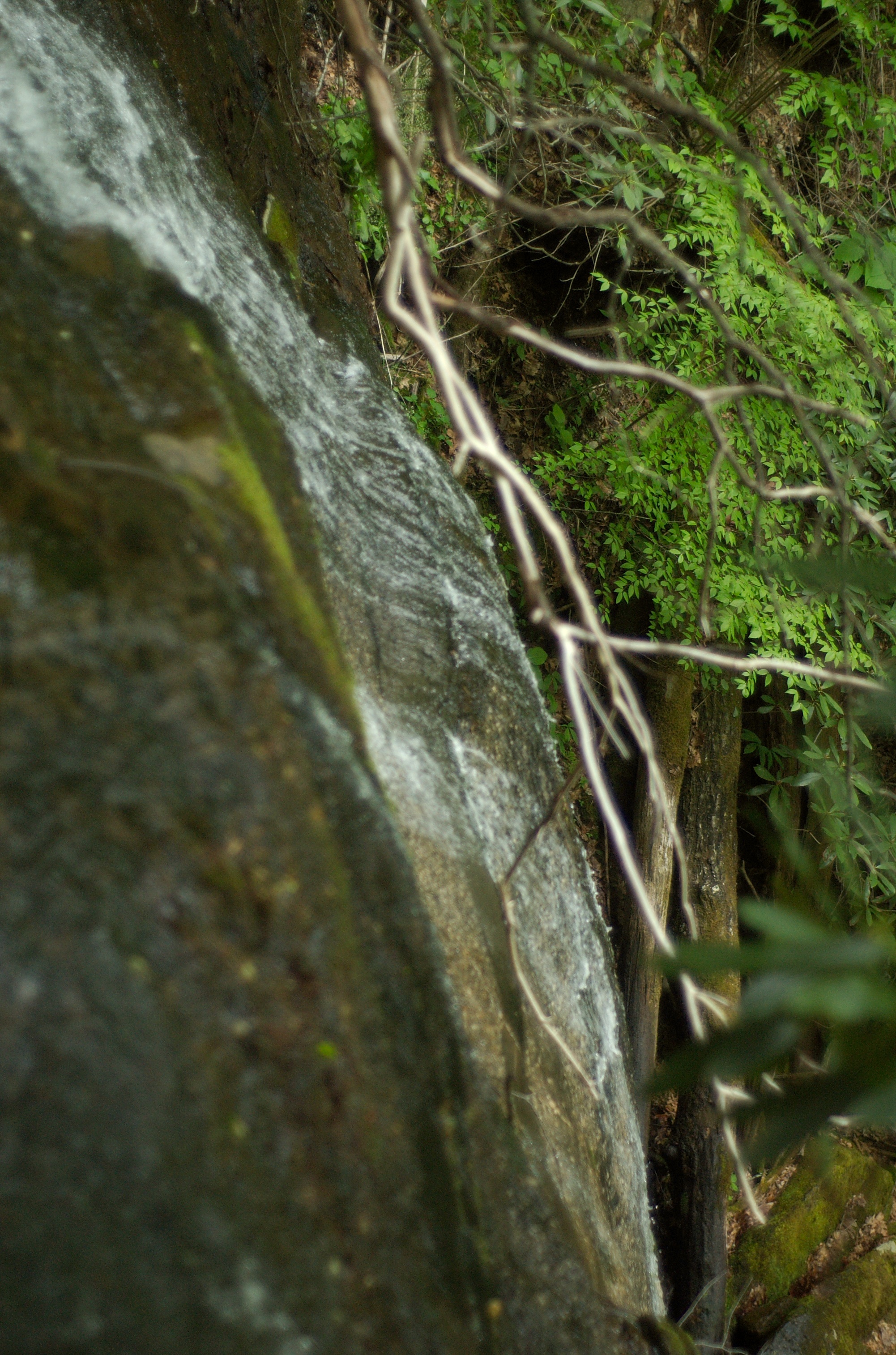
Snowy Creek

Rainbow after Appalachian Mountain Thunderstorm
Photo Stream-682
Sandy Bottom Trail Rides

Photo Stream-684
DSC_0055.jpg
JFRM-2017-04-7044-Pano.jpg

French Broad River and Hot Springs, North Carolina from Lover's Leap on the Appalachian Trail.

Hot Srings Oct 08 296
Moment in August - Original Landscape Art Painting
784 crosses the French Broad
DSC_0036.jpg
Hot Srings Oct 08 242
Sandy Bottom Trail Rides
DSC_0040.jpg
Hot Srings Oct 08 240
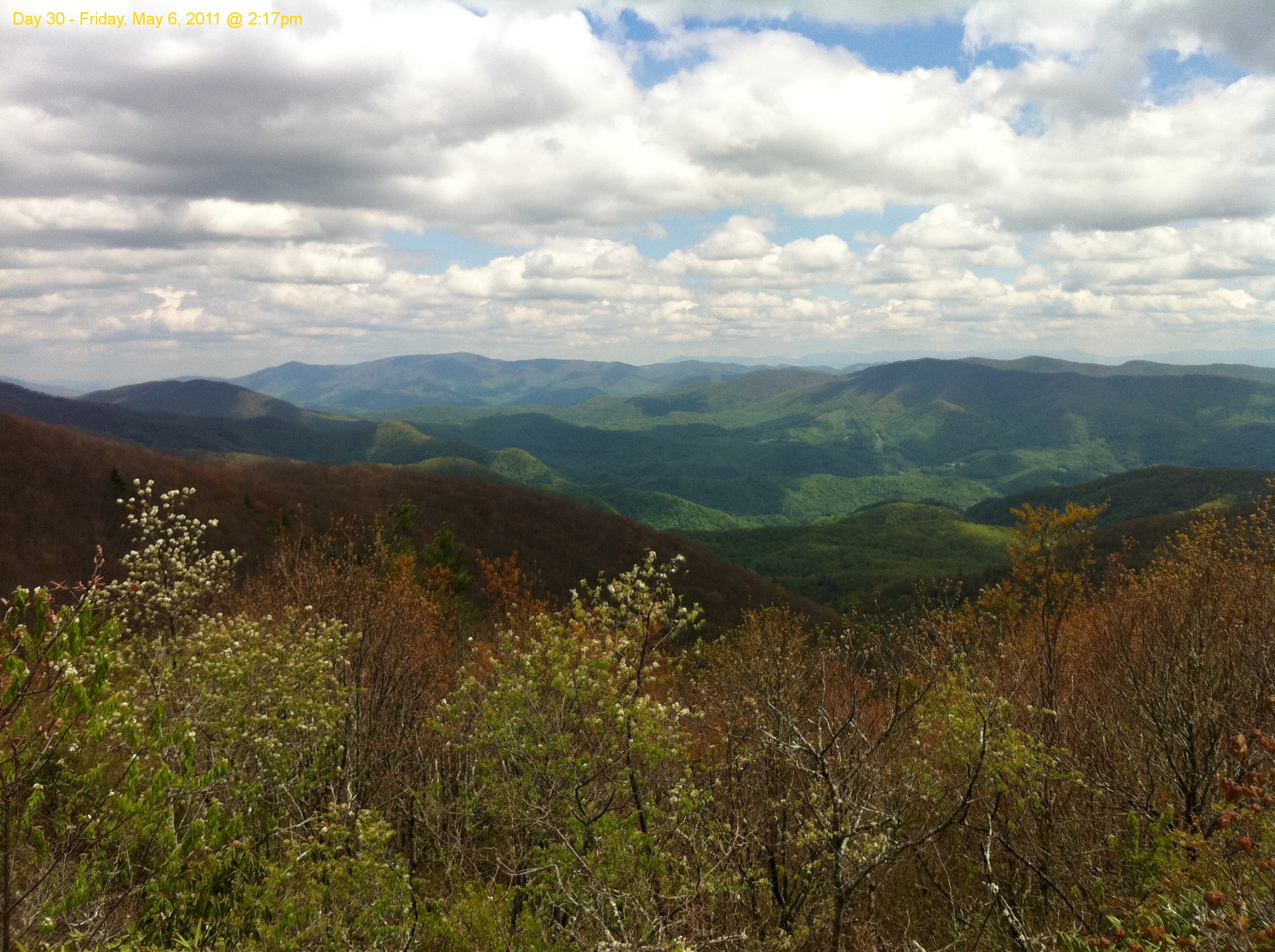
Scribbles AT Hike 2011-05-06 @ 14-17-35
Topographic Map of Board Tree Rd, Marshall, NC, USA
Find elevation by address:

Places near Board Tree Rd, Marshall, NC, USA:
Revere-rice Cove Community Development
3369 Revere Rd
Revere Road
Revere Road
11, Revere Rice Cove
Revere
Chandler Cove Road
Sunnyside Drive
2249 Revere Rd
1545 Rebel Ridge Rd
1545 Rebel Ridge Rd
Chandler Cove Rd, Marshall, NC, USA
2932 Big Laurel Rd
Big Laurel Road
1804 Big Laurel Rd
1804 Big Laurel Rd
1804 Big Laurel Rd
1804 Big Laurel Rd
Palmer Camp Branch Road
6239 Walnut Creek Rd
Recent Searches:
- Elevation of Tenjo, Cundinamarca, Colombia
- Elevation of Côte-des-Neiges, Montreal, QC H4A 3J6, Canada
- Elevation of Bobcat Dr, Helena, MT, USA
- Elevation of Zu den Ihlowbergen, Althüttendorf, Germany
- Elevation of Badaber, Peshawar, Khyber Pakhtunkhwa, Pakistan
- Elevation of SE Heron Loop, Lincoln City, OR, USA
- Elevation of Slanický ostrov, 01 Námestovo, Slovakia
- Elevation of Spaceport America, Co Rd A, Truth or Consequences, NM, USA
- Elevation of Warwick, RI, USA
- Elevation of Fern Rd, Whitmore, CA, USA