Elevation of Walnut Creek Rd, Marshall, NC, USA
Location: United States > North Carolina > Madison County > 1, North Marshall > Marshall >
Longitude: -82.665716
Latitude: 35.8811636
Elevation: 771m / 2530feet
Barometric Pressure: 92KPa
Elevation Map:
Satellite Map:
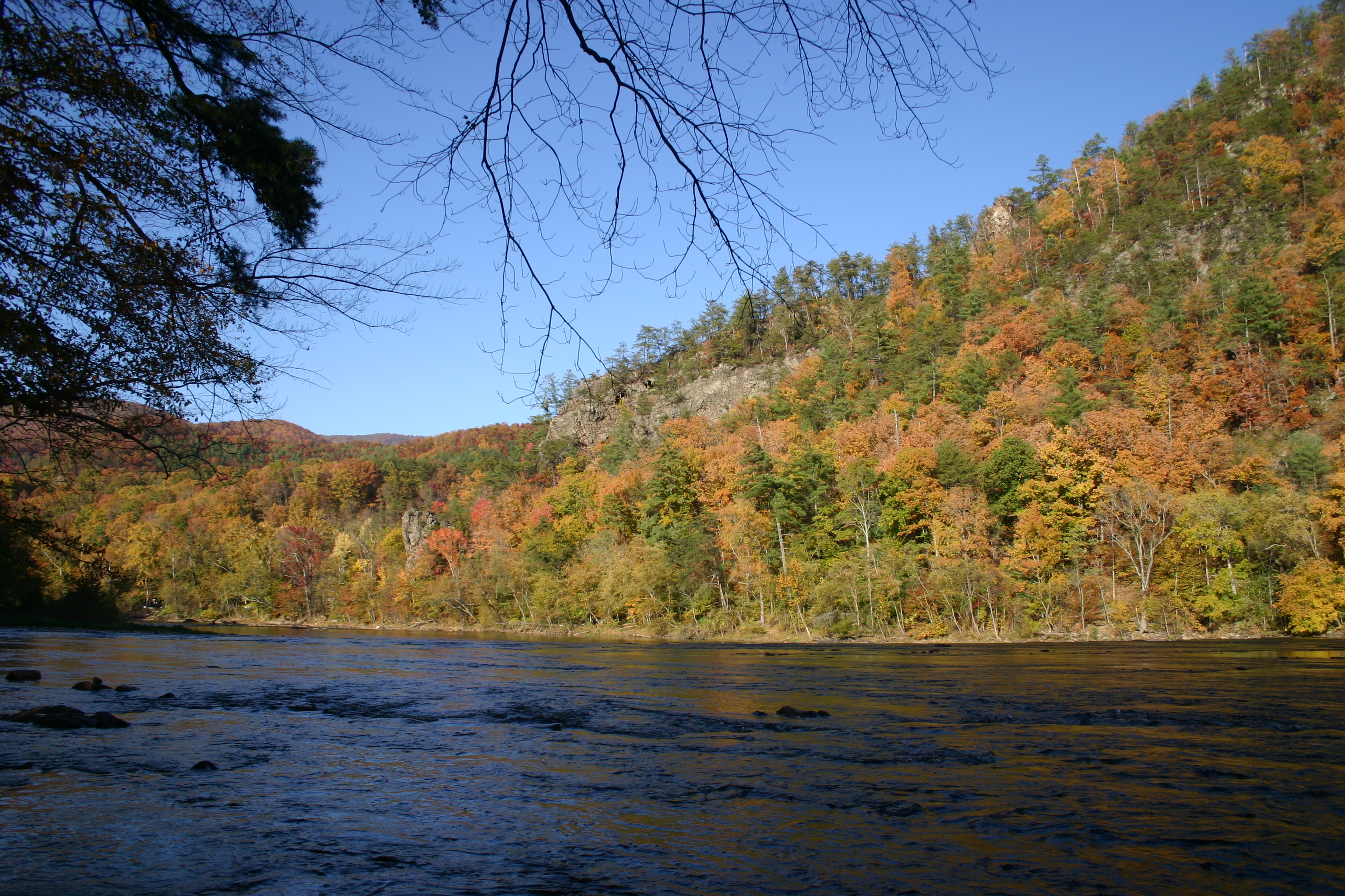
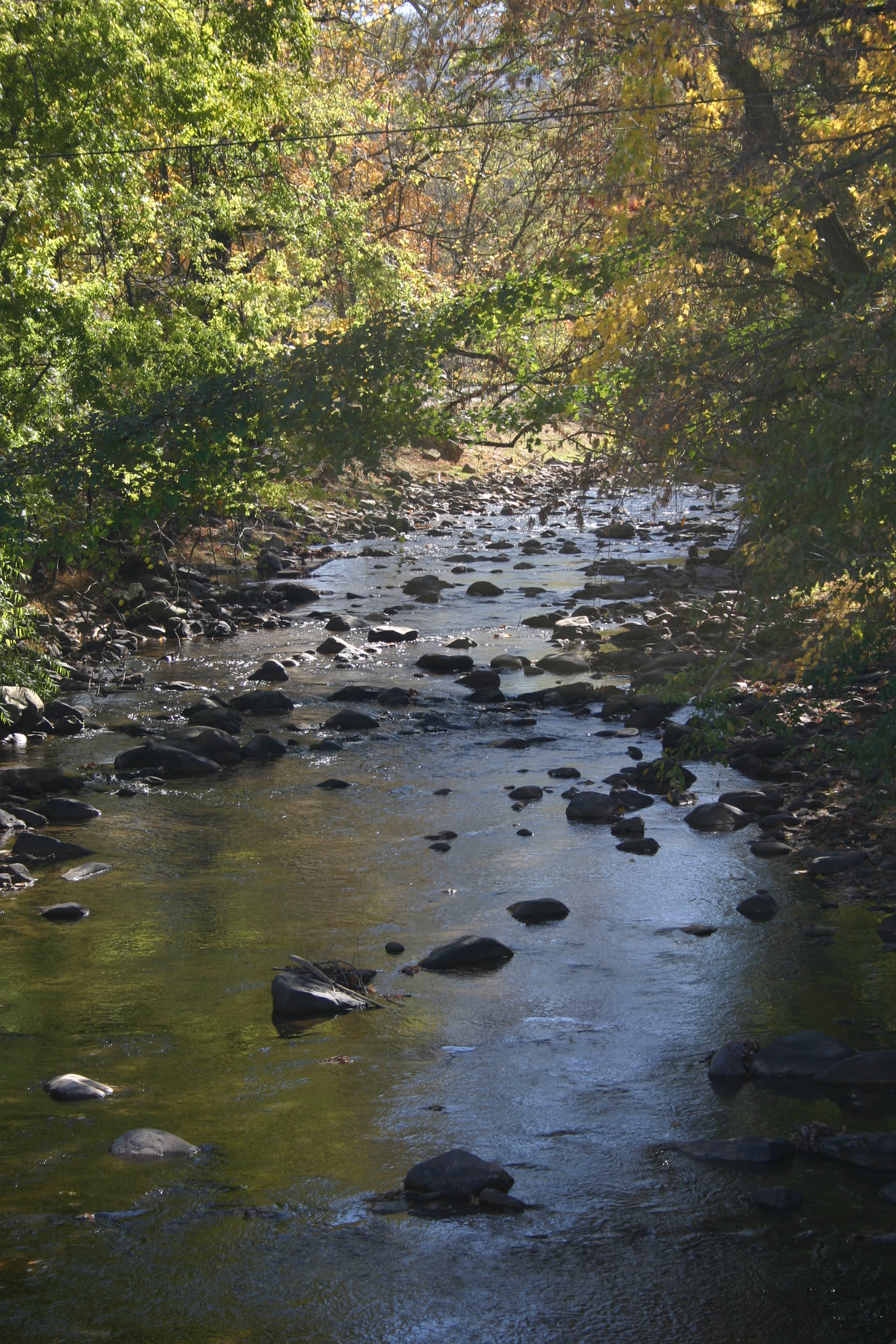
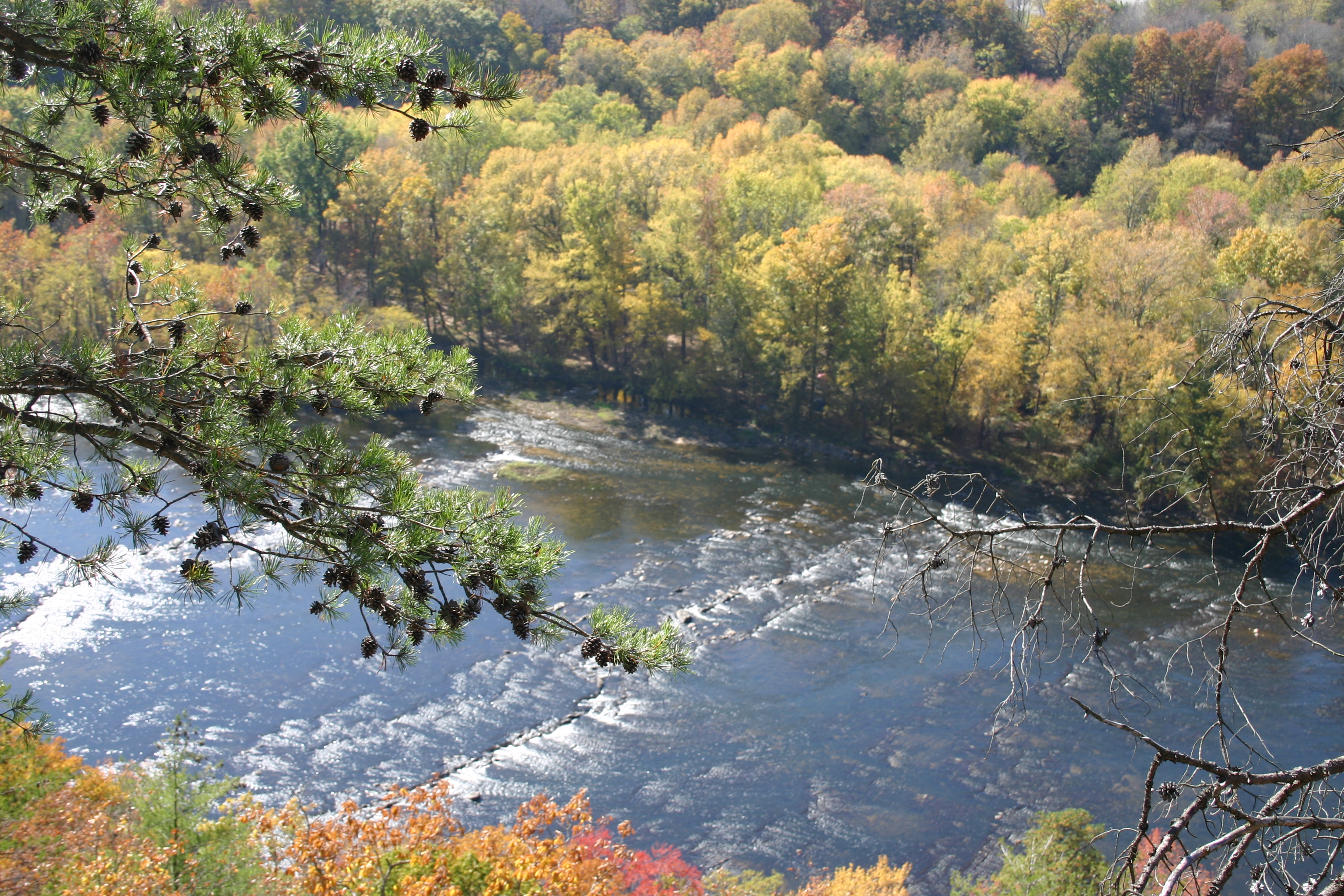
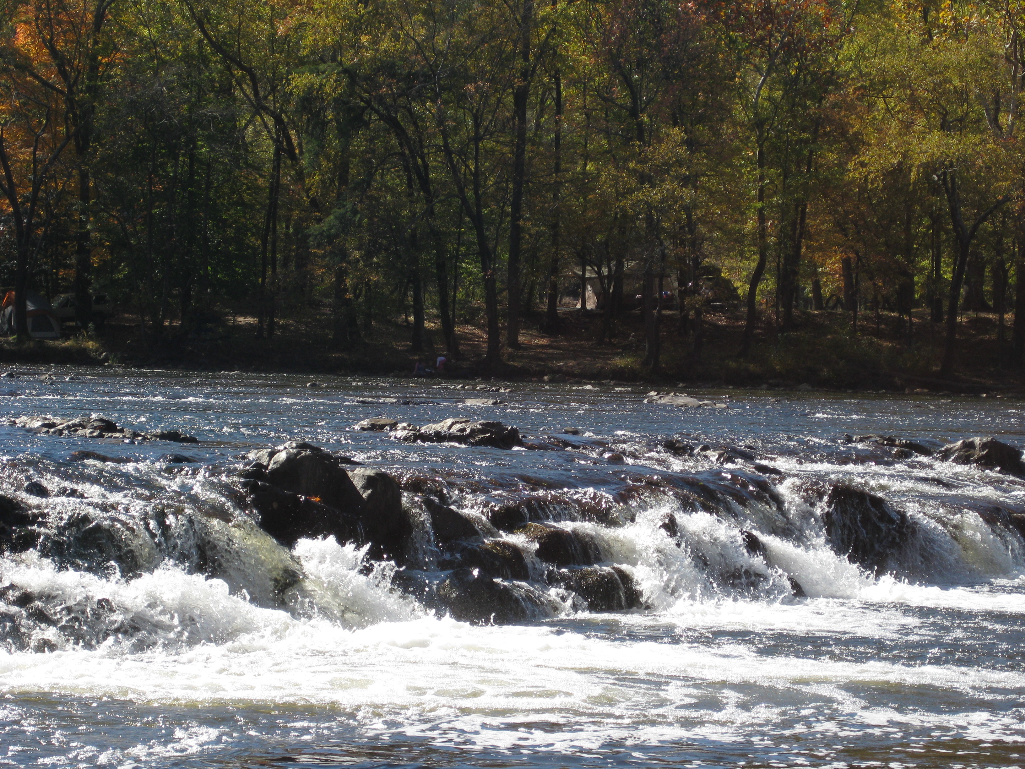
Related Photos:

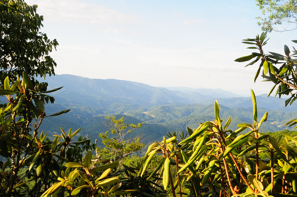
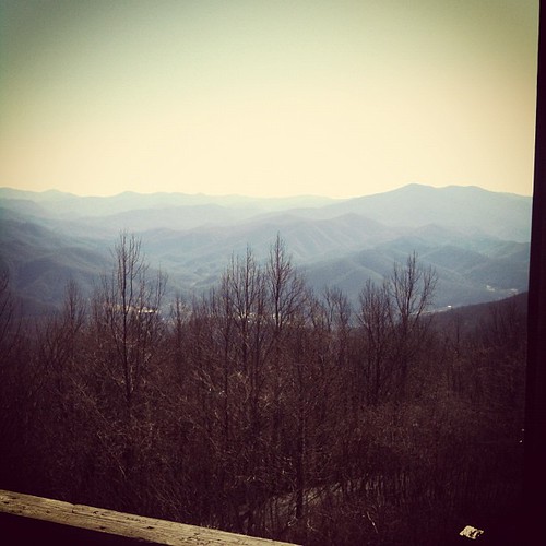
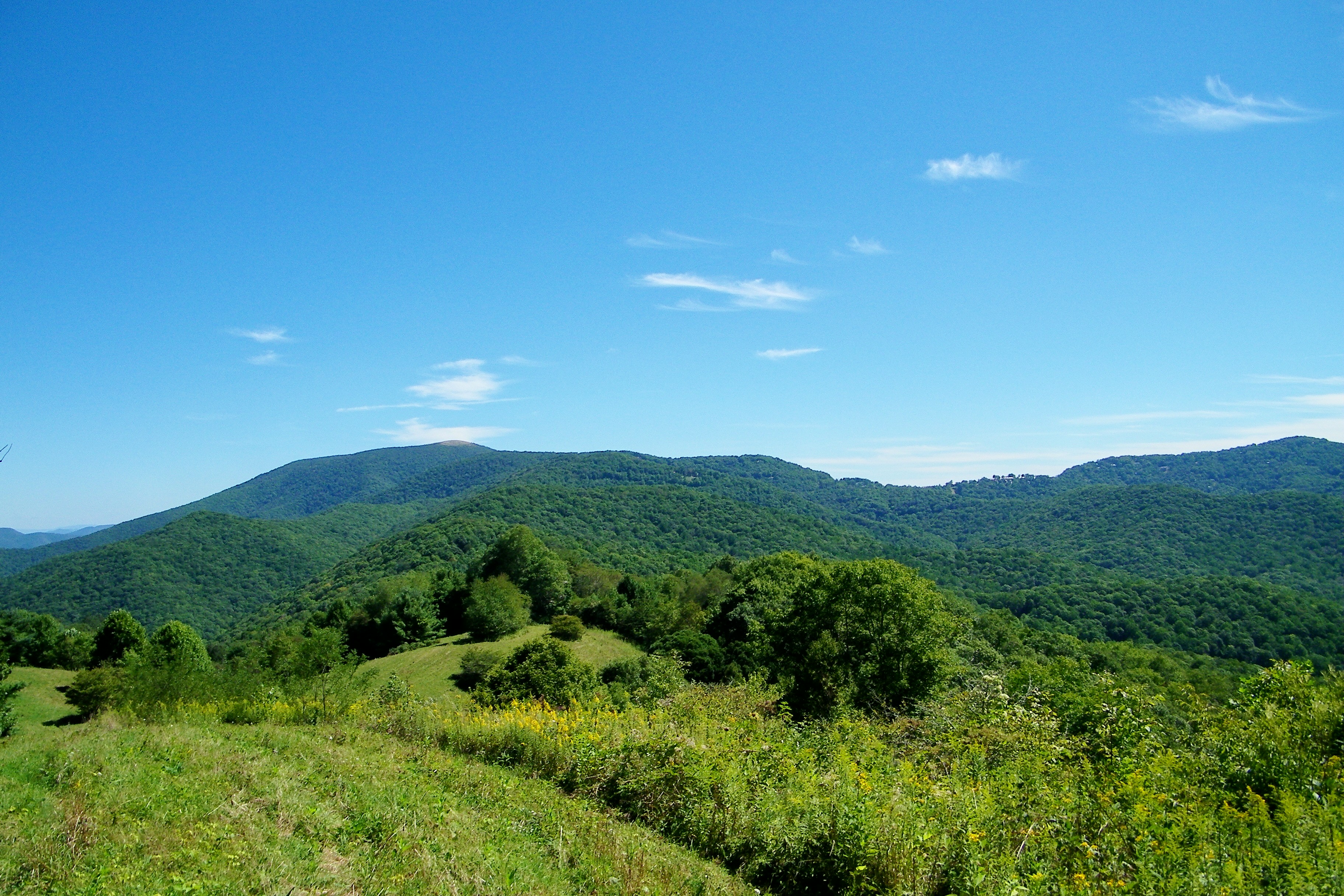
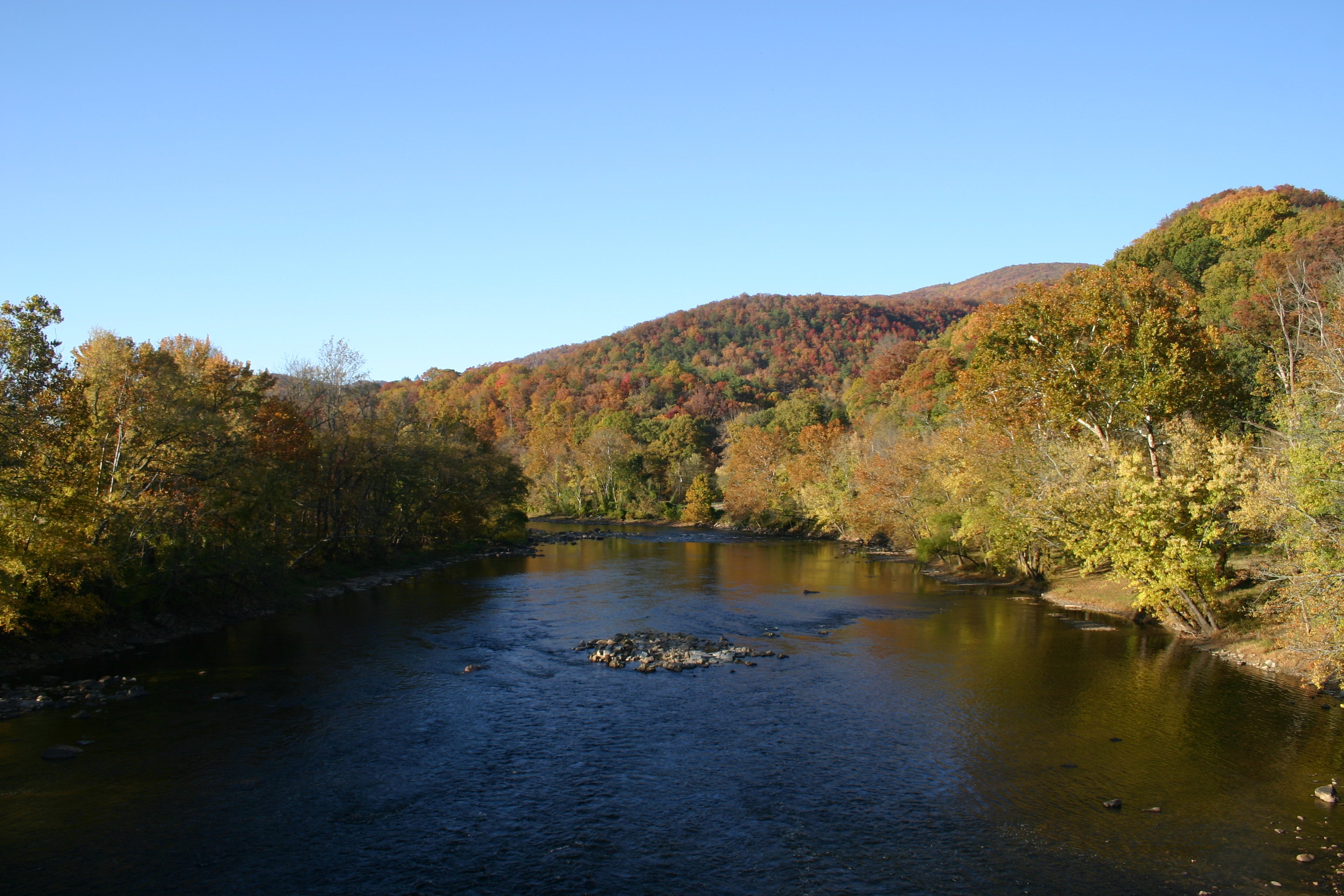
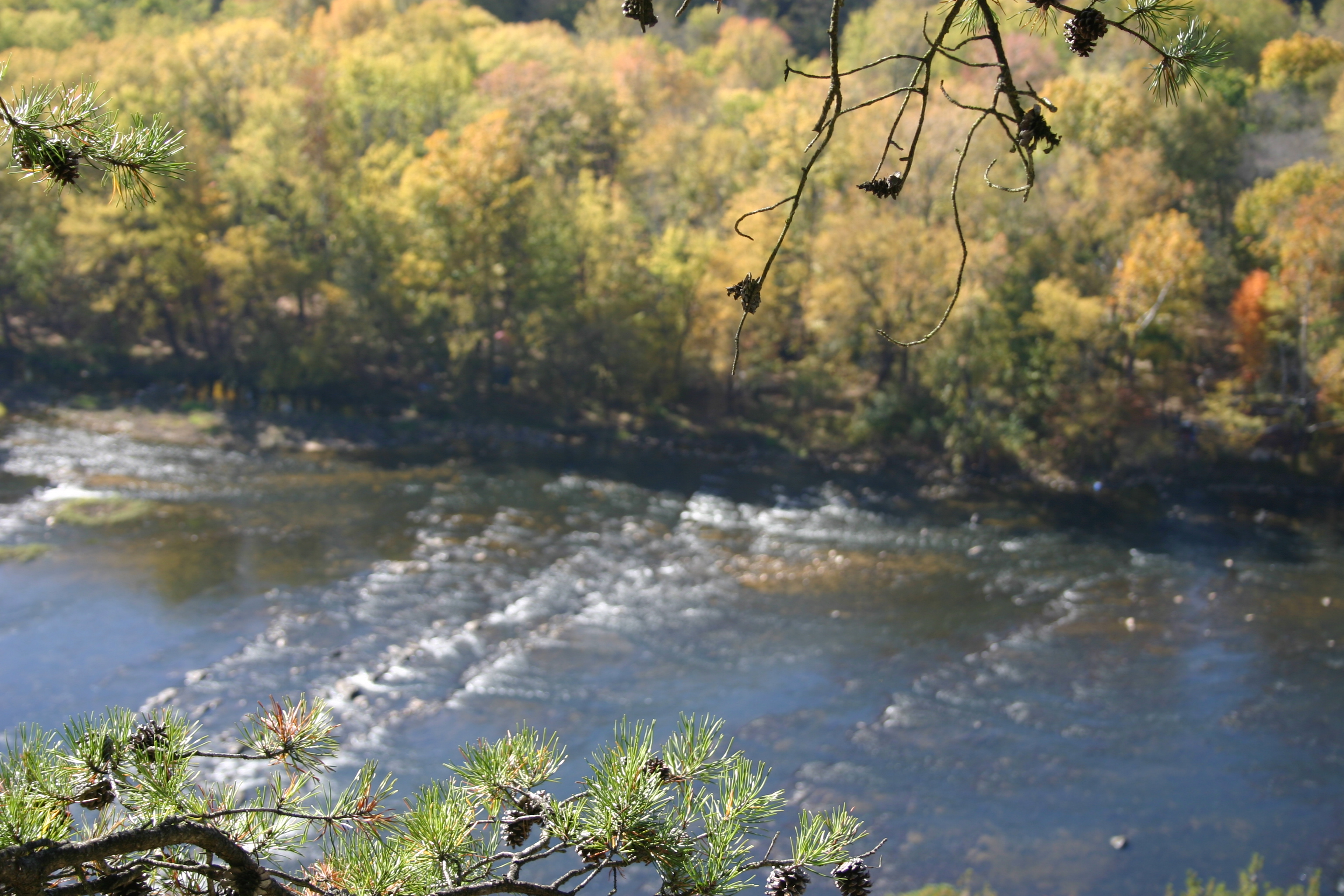
A mountain view
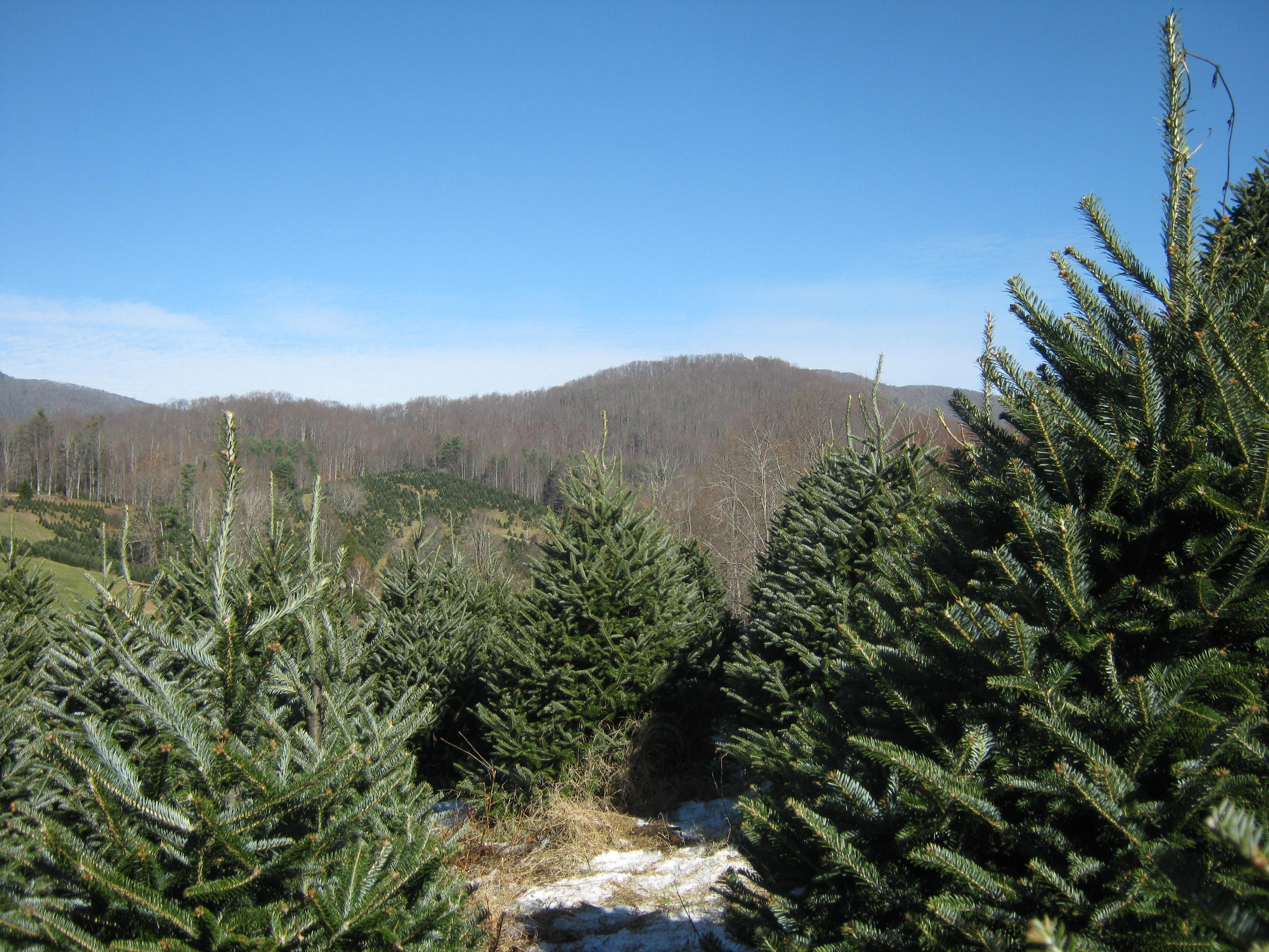
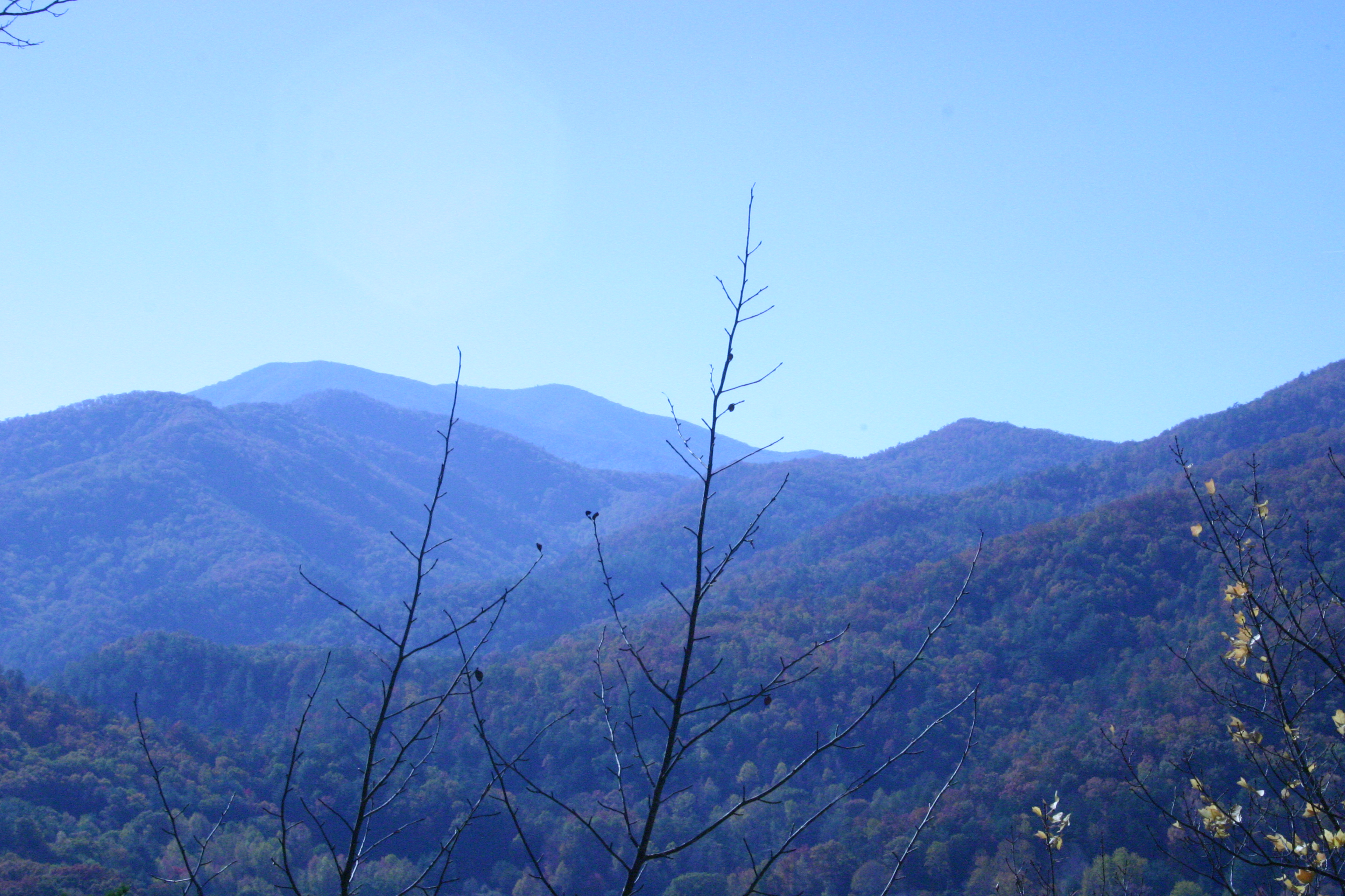
View from W4T/SU-024 - High Rock

Evening light at Scenic Wolf

Old House ☛ New Bank
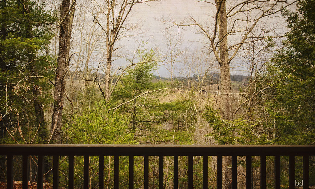
View From our Tree

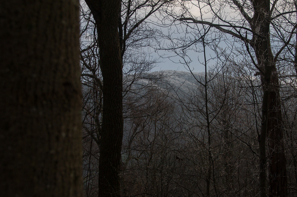
view from Hurricane Gap fire tower

View from W4T/SU-024 - High Rock

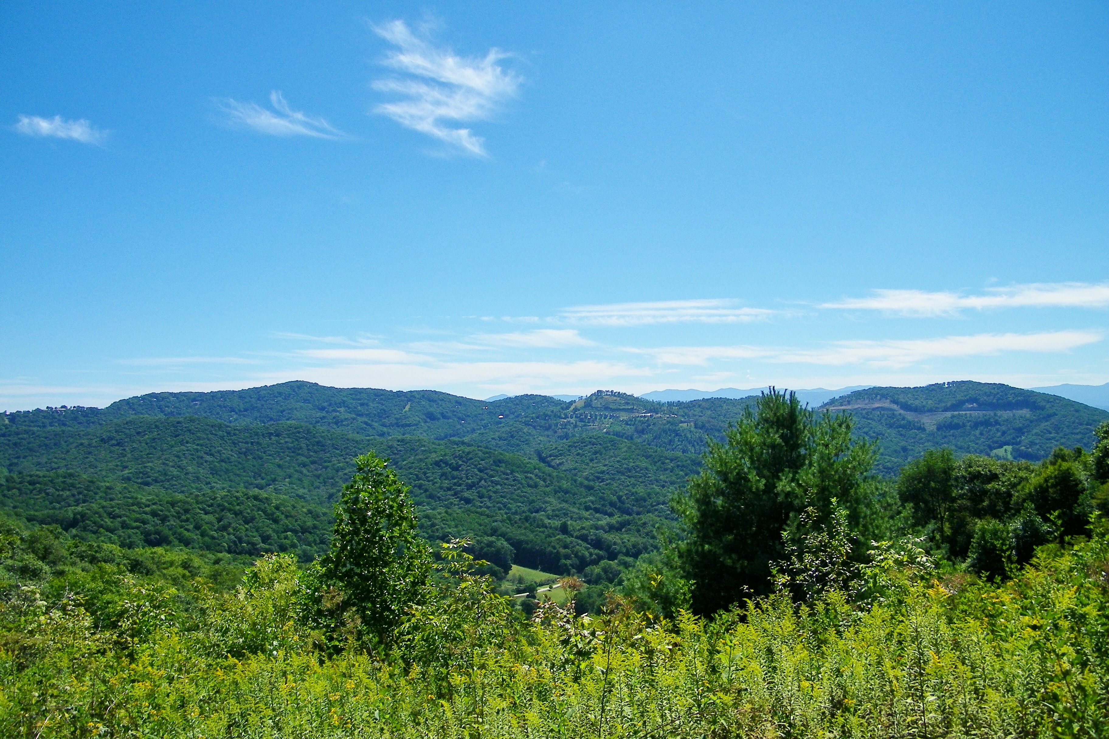
tracks & mountains
View from Sid's Veranda in Marshal NC.
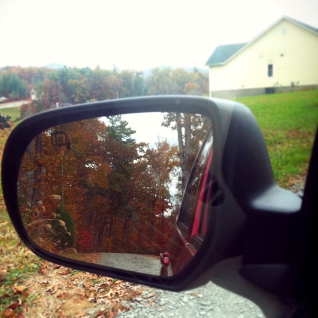
Check out the#beautiful#view in the#mirror
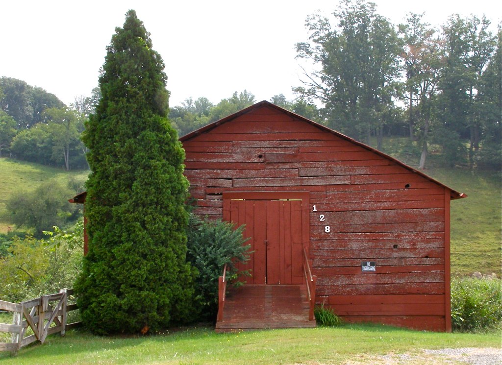
Red Barn with Tree
View from the Rich Mountain lookout tower
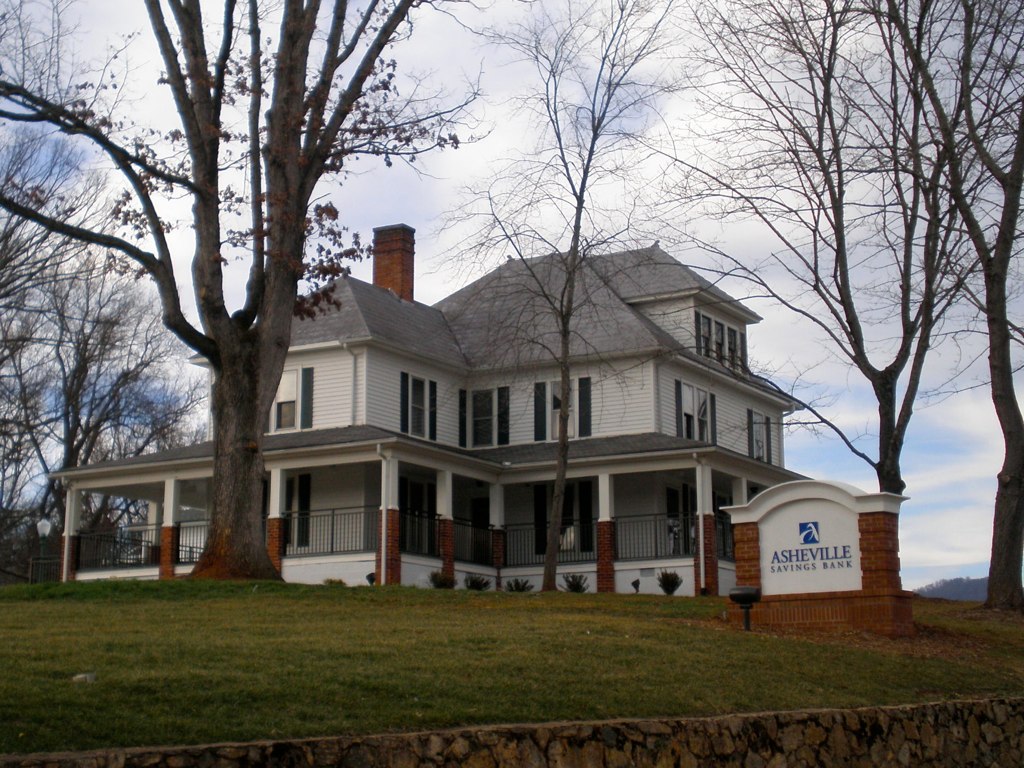
The Bank
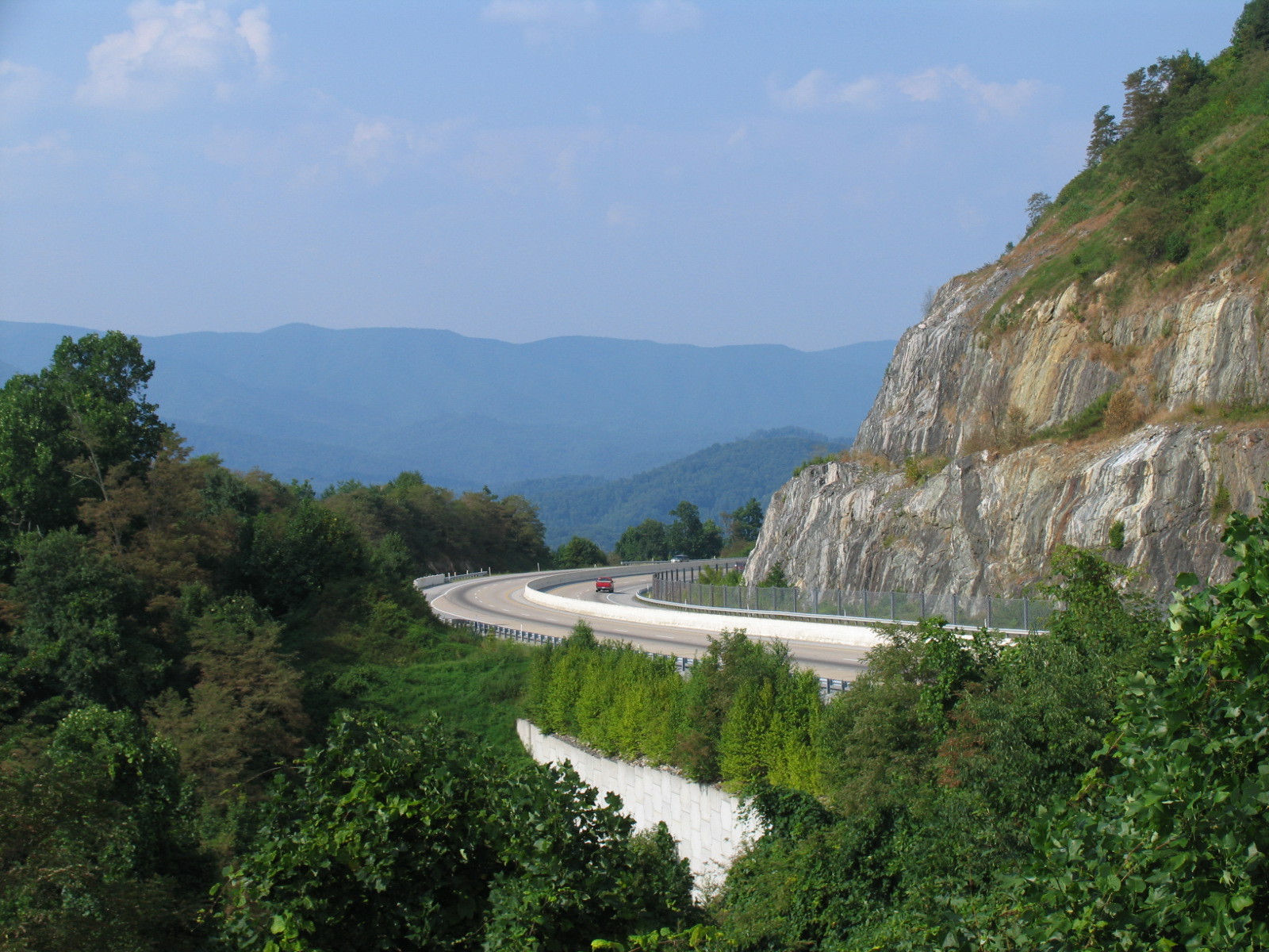
I-26 West view
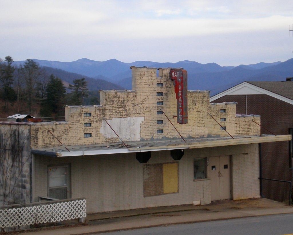
Mars Theatre
View of W4C/CM-110 Rich Mtn

View of W4C/CM-110 Rich Mtn
Appalachian Trail

2009-06-20 19:13:45 -0400

View from our bedroom
Appalachian Trail
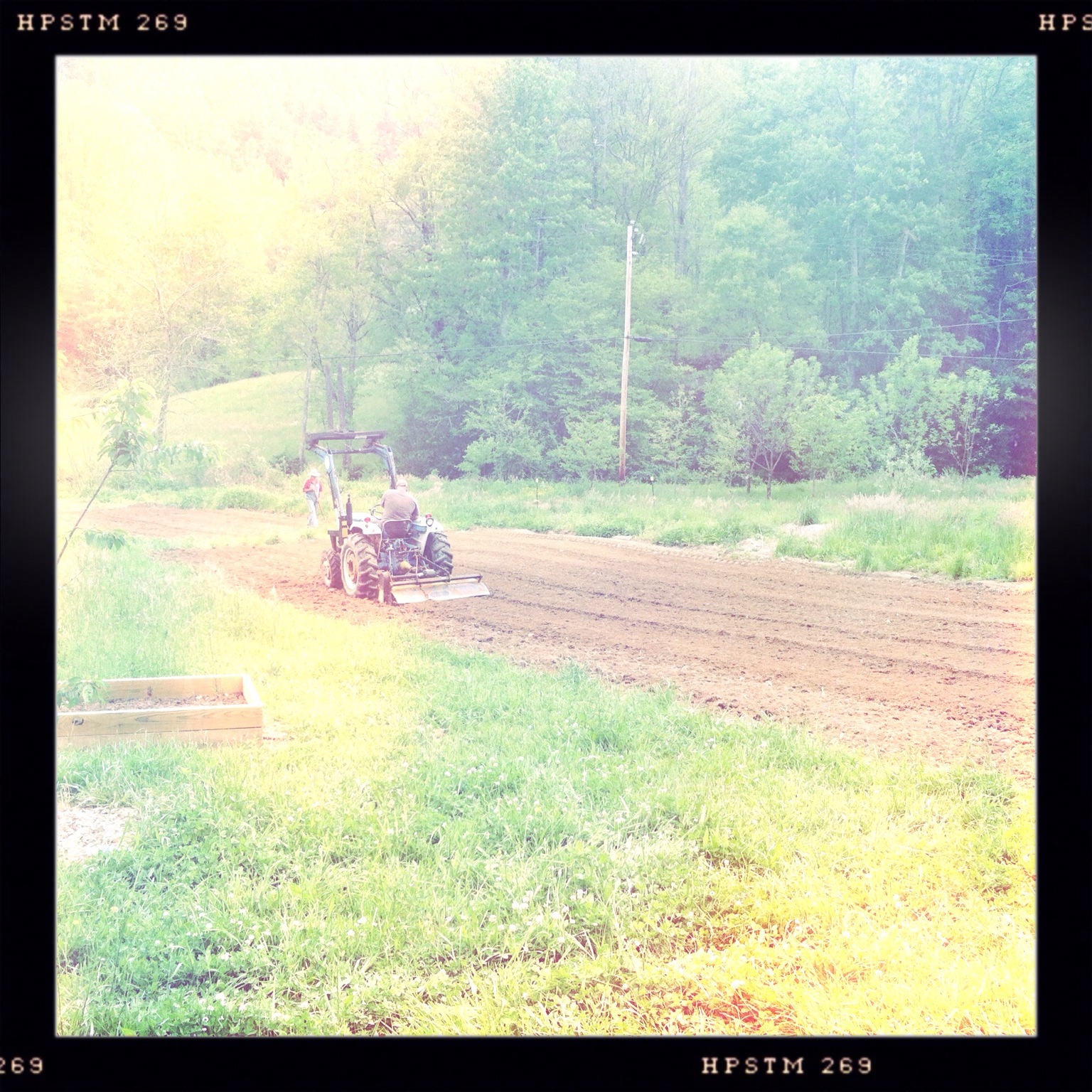
Photo Stream-682

Photo Stream-684

Hot Srings Oct 08 296
Hot Srings Oct 08 242
DSC_0055.jpg
Hot Srings Oct 08 240
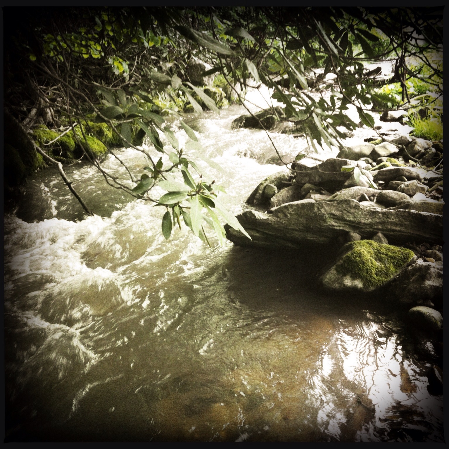
Photo Stream-693
Hot Srings Oct 08 236
Hot Srings Oct 08 257

Abandonded Forest Service Road in IR
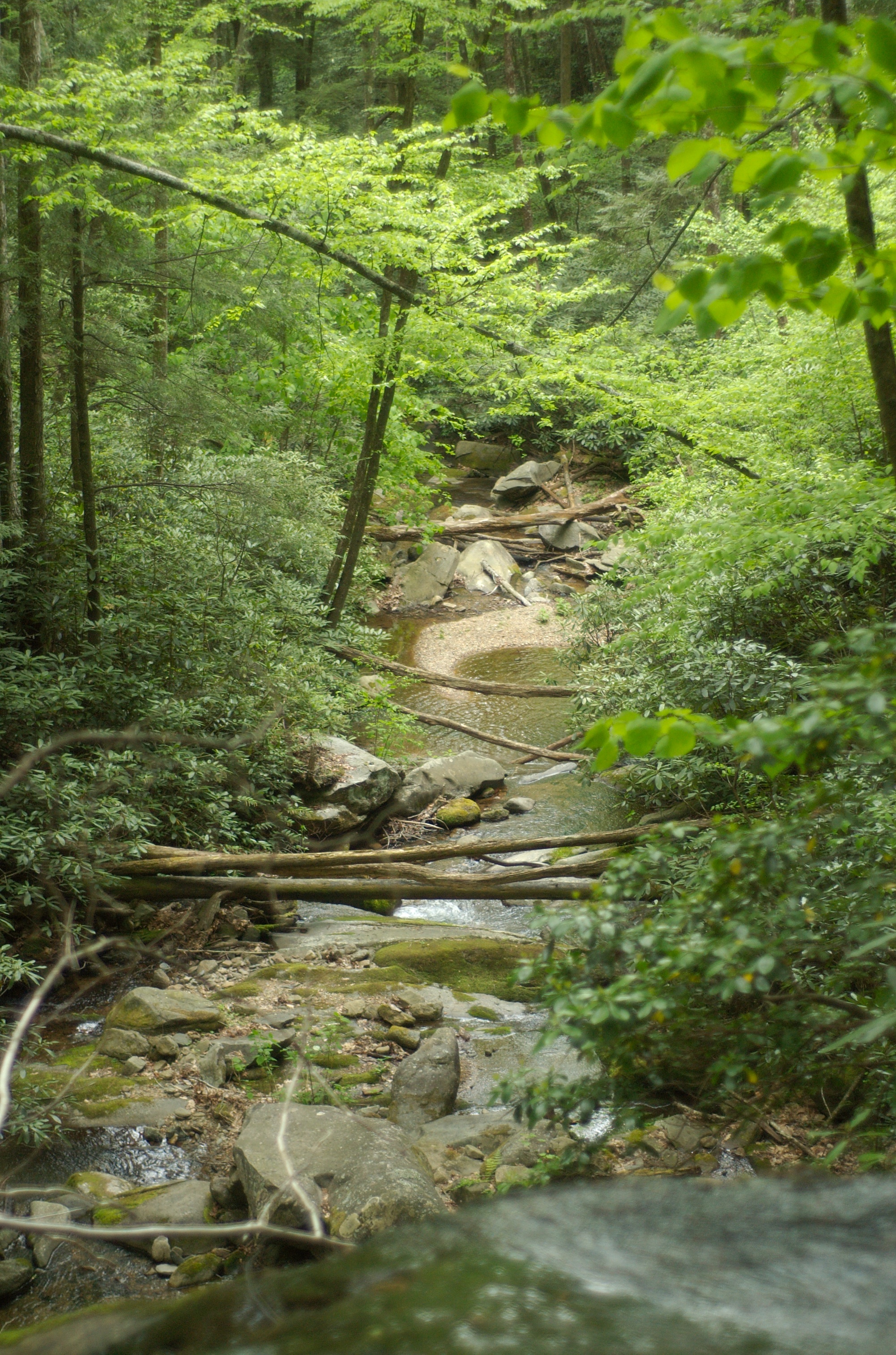
Snowy Creek
Hot Springs Oct 08 179
Hot Springs Oct 08 197
DSC_0036.jpg
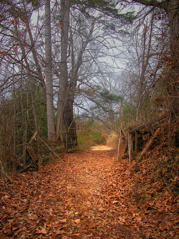
The road silent
Hot Srings Oct 08 232
Hot Springs Oct 08 128
Hot Springs Oct 08 171
Hot Springs Oct 08 017

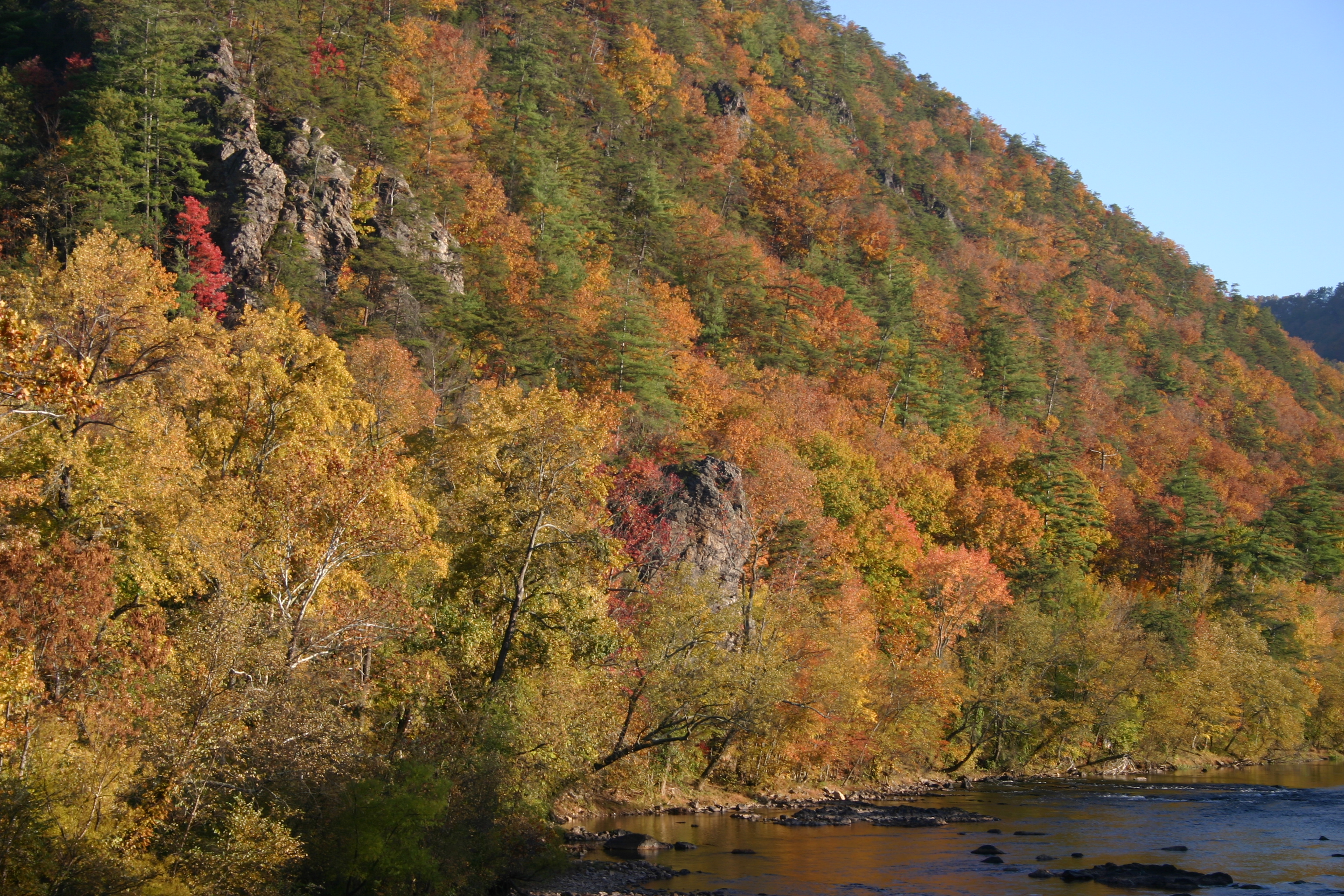
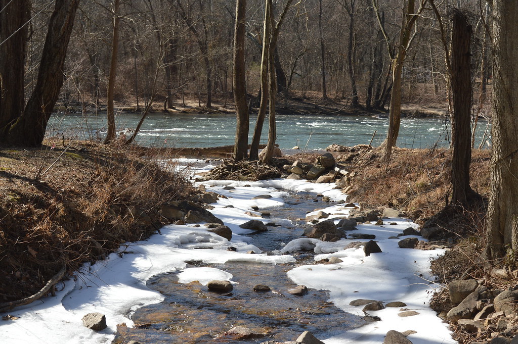
French Broad River and Hot Springs, North Carolina from Lover's Leap on the Appalachian Trail.
Topographic Map of Walnut Creek Rd, Marshall, NC, USA
Find elevation by address:

Places near Walnut Creek Rd, Marshall, NC, USA:
6524 Walnut Creek Rd
295 Heck Creek Rd
35 Norton Br Rd
789 Jarrett Cove Rd
320 Board Tree Rd
Palmer Camp Branch Road
18 Davis Ln
Revere-rice Cove Community Development
3369 Revere Rd
359 Henry Bradley Rd
Revere Road
Revere Road
11, Revere Rice Cove
Revere
2932 Big Laurel Rd
Chandler Cove Road
Sunnyside Drive
1804 Big Laurel Rd
1804 Big Laurel Rd
1804 Big Laurel Rd
Recent Searches:
- Elevation of East W.T. Harris Boulevard, E W.T. Harris Blvd, Charlotte, NC, USA
- Elevation of West Sugar Creek, Charlotte, NC, USA
- Elevation of Wayland, NY, USA
- Elevation of Steadfast Ct, Daphne, AL, USA
- Elevation of Lagasgasan, X+CQH, Tiaong, Quezon, Philippines
- Elevation of Rojo Ct, Atascadero, CA, USA
- Elevation of Flagstaff Drive, Flagstaff Dr, North Carolina, USA
- Elevation of Avery Ln, Lakeland, FL, USA
- Elevation of Woolwine, VA, USA
- Elevation of Lumagwas Diversified Farmers Multi-Purpose Cooperative, Lumagwas, Adtuyon, RV32+MH7, Pangantucan, Bukidnon, Philippines