Elevation of Wallace Road, Koputaroa, New Zealand
Location: New Zealand > Manawatu-wanganui >
Longitude: 175.351841
Latitude: -40.609068
Elevation: -10000m / -32808feet
Barometric Pressure: 295KPa
Elevation Map:
Satellite Map:
Related Photos:

Better Than Nothing...!

A Different Land...
Gotch Ya...!!!

Lake Papaitonga

Farewell, Levin

Spur-Winged Plover

Nissan Gloria PA30

The Cloud-covered Tararua Mountains

The Song Of The Chaffinch

Slow Down And Enjoy...

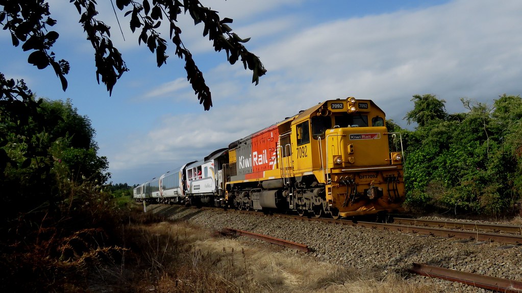
Giving Rail Some Stiff Competition...

Wild Flowers

Happy Fence Friday

Nice View State Highway 57 close to Levin by Samsung Galaxy S4
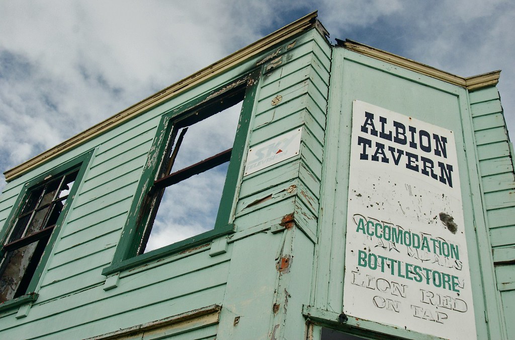
Shannon: Albion Hotel (3)
Nice View State Highway 57 close to Levin by Canon 40D

Timelapse of South Celestial Pole

Nice View State Highway 57 close to Levin by Canon 40D

Snow near Opiki

Harry in the Tasman

Driving through the Wairarapa
Abandoned Brick Dairy, Shannon, NZ

Motorbiking at Dusk - Waitarere, New Zealand

Christmas Day at the beach :)

Forgotten Heroes

tracks to the beach

time to go

Dundas Hut

Ash & Rob - Waitarere, New Zealand

Beach Drive

Creepy Woods

Gorgeous weather

rothko sunset

Walk it off

Waitarere Beach 19 - Photo and digital Oil process

Mandelbrot Set Tree Branches

Post dusk

Tararua Range.

Wonky Trig Point at Twin Peak
Topographic Map of Wallace Road, Koputaroa, New Zealand
Find elevation by address:

Places near Wallace Road, Koputaroa, New Zealand:
105 Wallace Loop Rd
Poads Road
73a Queenwood Road
Horowhenua
Levin
3 Parker Ave
12a Stuckey St
19 Douglas St
451 Muhunoa East Road
Ohau
South Ohau Hut
Te Matawai Hut
468 Opiki Road
Opiki
Roaring Stag Hut
341 Bainesse Road
Westbrook
18 Stillwater Pl
Highden Manor Estate
222 North Road
Recent Searches:
- Elevation of Badaber, Peshawar, Khyber Pakhtunkhwa, Pakistan
- Elevation of SE Heron Loop, Lincoln City, OR, USA
- Elevation of Slanický ostrov, 01 Námestovo, Slovakia
- Elevation of Spaceport America, Co Rd A, Truth or Consequences, NM, USA
- Elevation of Warwick, RI, USA
- Elevation of Fern Rd, Whitmore, CA, USA
- Elevation of 62 Abbey St, Marshfield, MA, USA
- Elevation of Fernwood, Bradenton, FL, USA
- Elevation of Felindre, Swansea SA5 7LU, UK
- Elevation of Leyte Industrial Development Estate, Isabel, Leyte, Philippines