Elevation of North Road, Mauriceville, New Zealand
Location: New Zealand > Wellington > Mauriceville >
Longitude: 175.686007
Latitude: -40.744666
Elevation: 275m / 902feet
Barometric Pressure: 98KPa
Elevation Map:
Satellite Map:
Related Photos:

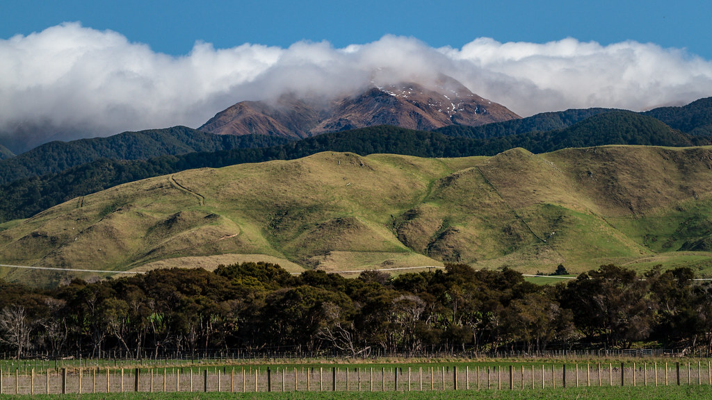
A view looking towards the snow-capped Tararua Range, Mount Bruce. Kodak Tri-X 400, Canon AT-1

Kiriwhakapapa View [2]
The view at the corner of State Hwy 2 and Paierau Rd.

Upper Hutt, Pahiatua, Levin, Upper Hutt Feb 2014 by Bicycle
Kiriwhakapapa View [1]

View from Mt Bruce look out

view from the highest point of the trail

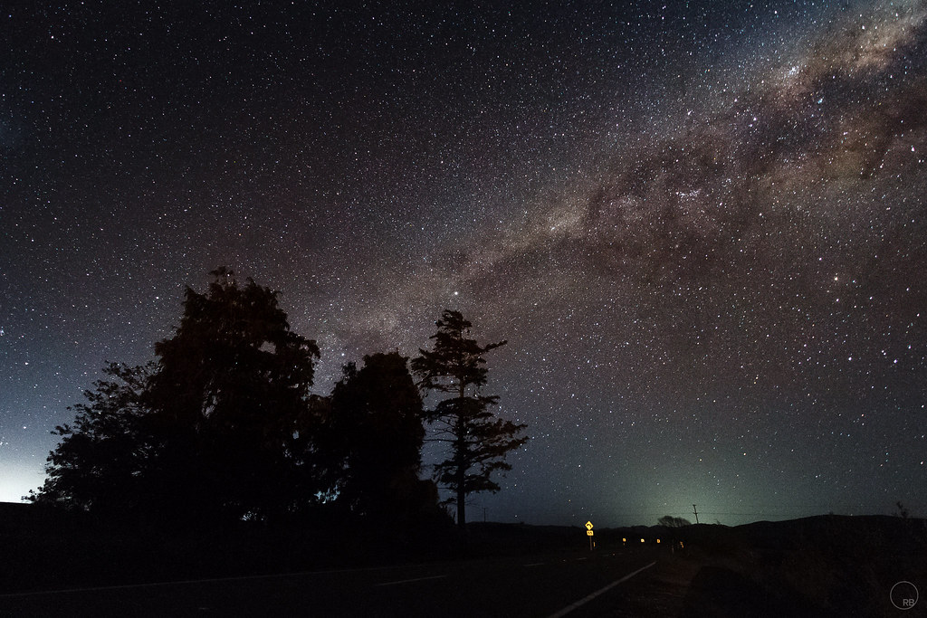
Wairarapa Summer Sunset [1]

fenced in [explored]

2014 29

the farm

Old house, Dreyers Rock, Manawatu, New Zealand

New Zealand Rush Hour
Wairarapa Summer Sunset [2]

Ruamahanga River - Winter [2]
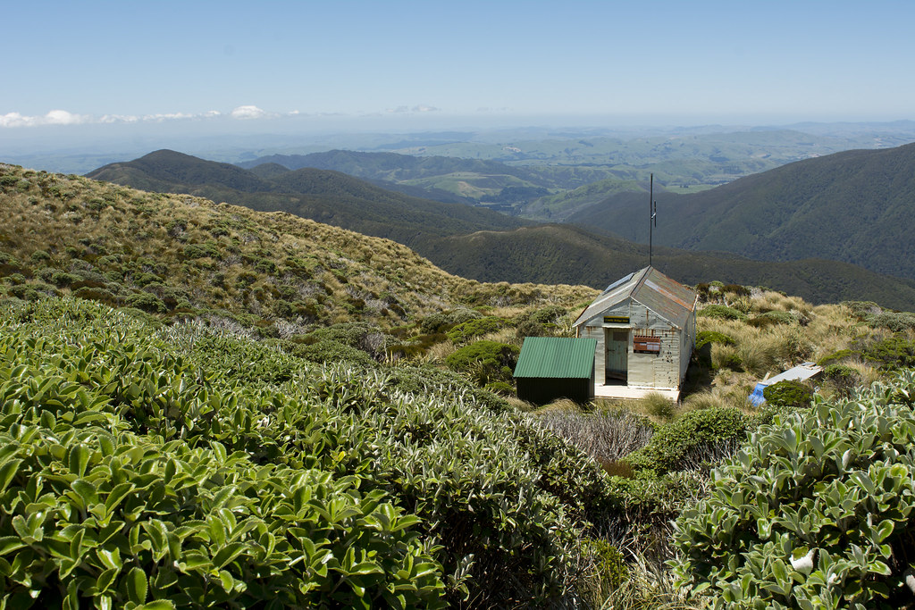
Cattle Ridge Hut

Kiriwhakapapa Forest [2]

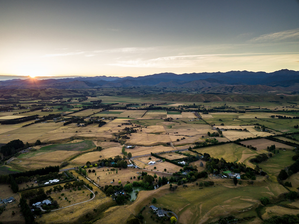
Rural Scenery [Winter] [Pano]

20151011_DSC8922.jpg
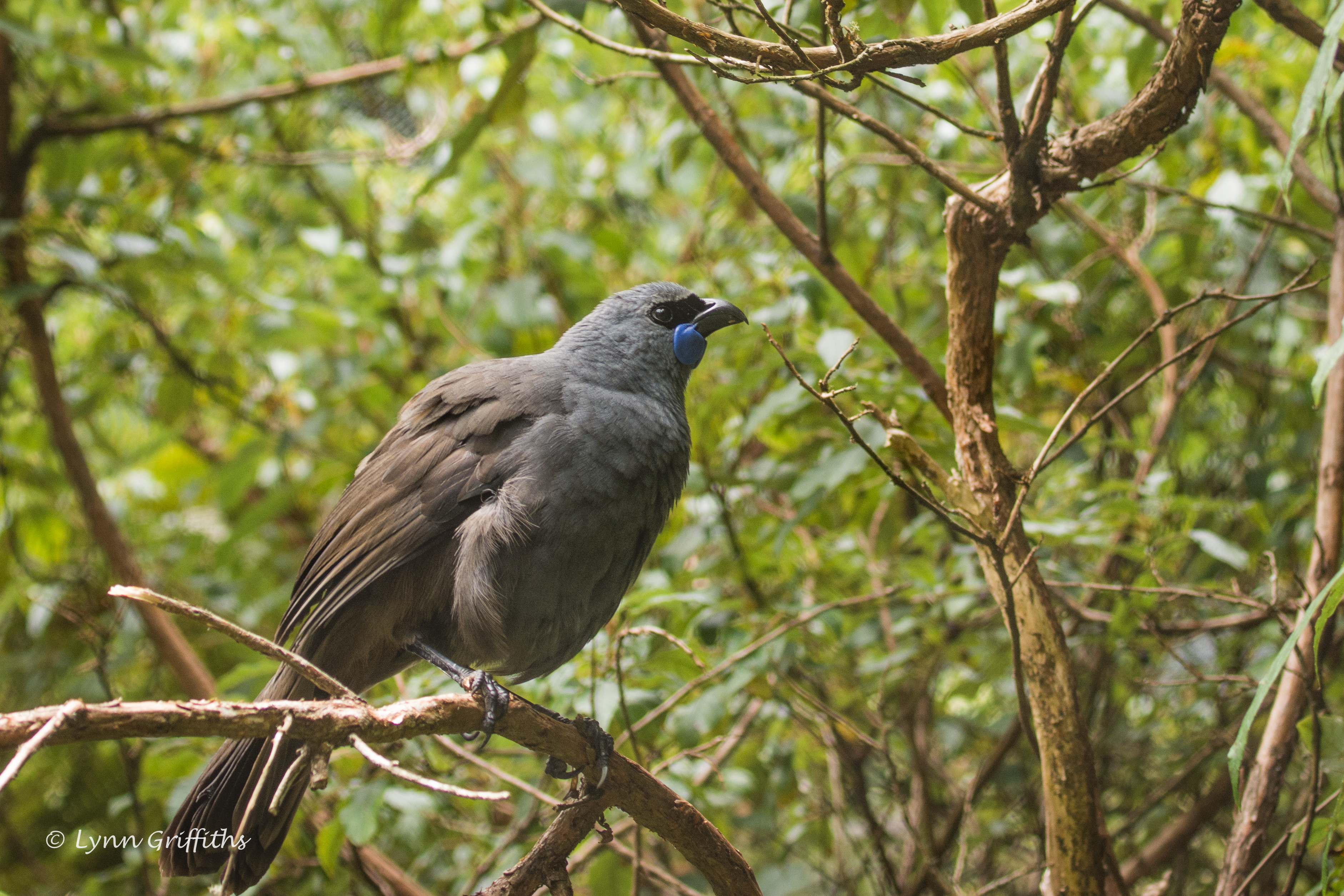
Rare Kokako 710_1584.jpg
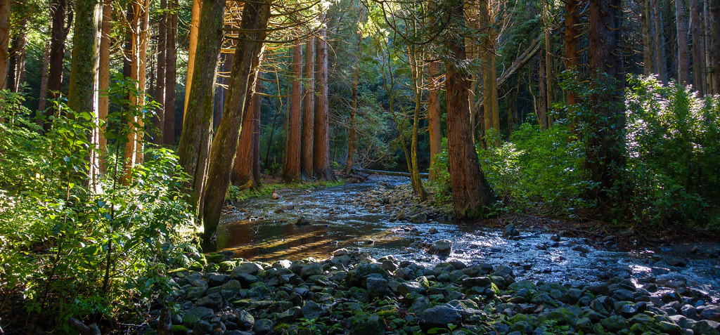
Kiriwhakapapa Forest [1]

75. A rainbow (150 Scavenger Hunt)

rolling hills
Topographic Map of North Road, Mauriceville, New Zealand
Find elevation by address:

Places near North Road, Mauriceville, New Zealand:
Roaring Stag Hut
Te Matawai Hut
South Ohau Hut
Poads Road
105 Wallace Loop Rd
189 Wallace Road
468 Opiki Road
Polson Hill Drive
Opiki
43 Windsor Street
Terrace End
451 Muhunoa East Road
Palmerston North
38 Napier Rd
18 Stillwater Pl
Westbrook
73a Queenwood Road
3 Parker Ave
Horowhenua
27 Daniel Pl
Recent Searches:
- Elevation of Congressional Dr, Stevensville, MD, USA
- Elevation of Bellview Rd, McLean, VA, USA
- Elevation of Stage Island Rd, Chatham, MA, USA
- Elevation of Shibuya Scramble Crossing, 21 Udagawacho, Shibuya City, Tokyo -, Japan
- Elevation of Jadagoniai, Kaunas District Municipality, Lithuania
- Elevation of Pagonija rock, Kranto 7-oji g. 8"N, Kaunas, Lithuania
- Elevation of Co Rd 87, Jamestown, CO, USA
- Elevation of Tenjo, Cundinamarca, Colombia
- Elevation of Côte-des-Neiges, Montreal, QC H4A 3J6, Canada
- Elevation of Bobcat Dr, Helena, MT, USA