Elevation of 18 Stillwater Pl, Westbrook, Palmerston North, New Zealand
Location: New Zealand > Manawatu-wanganui > Palmerston North > Westbrook >
Longitude: 175.580607
Latitude: -40.355034
Elevation: 22m / 72feet
Barometric Pressure: 101KPa
Elevation Map:
Satellite Map:
Related Photos:
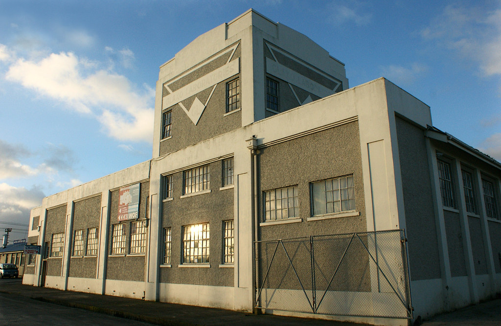
Hoffman Oblong Continuous Kiln (c.1904) (3)

Before the hail, Palmerston North

Royal Tavern
Comet watchers
DXB 5114 and DFM 7145 Palmerston North NZ
Manawatu river over Bridge, view from the Hokowhitu Side

Safe Haven
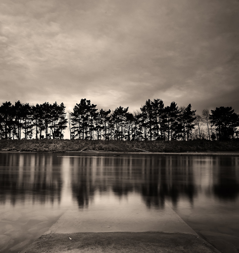
Manawatu River in monotone

Safe Haven 2

Safe Haven 3
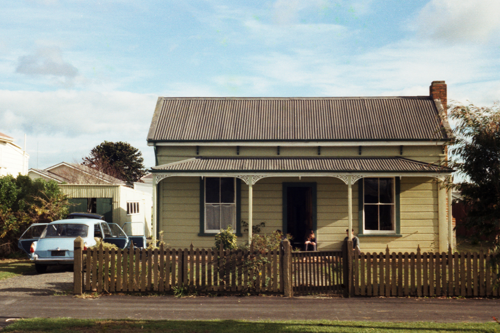
Palmerston North, Campbell St, 1987

Asylum. Top View
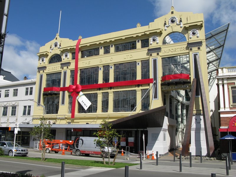
Building anniversary 80th birthday bow
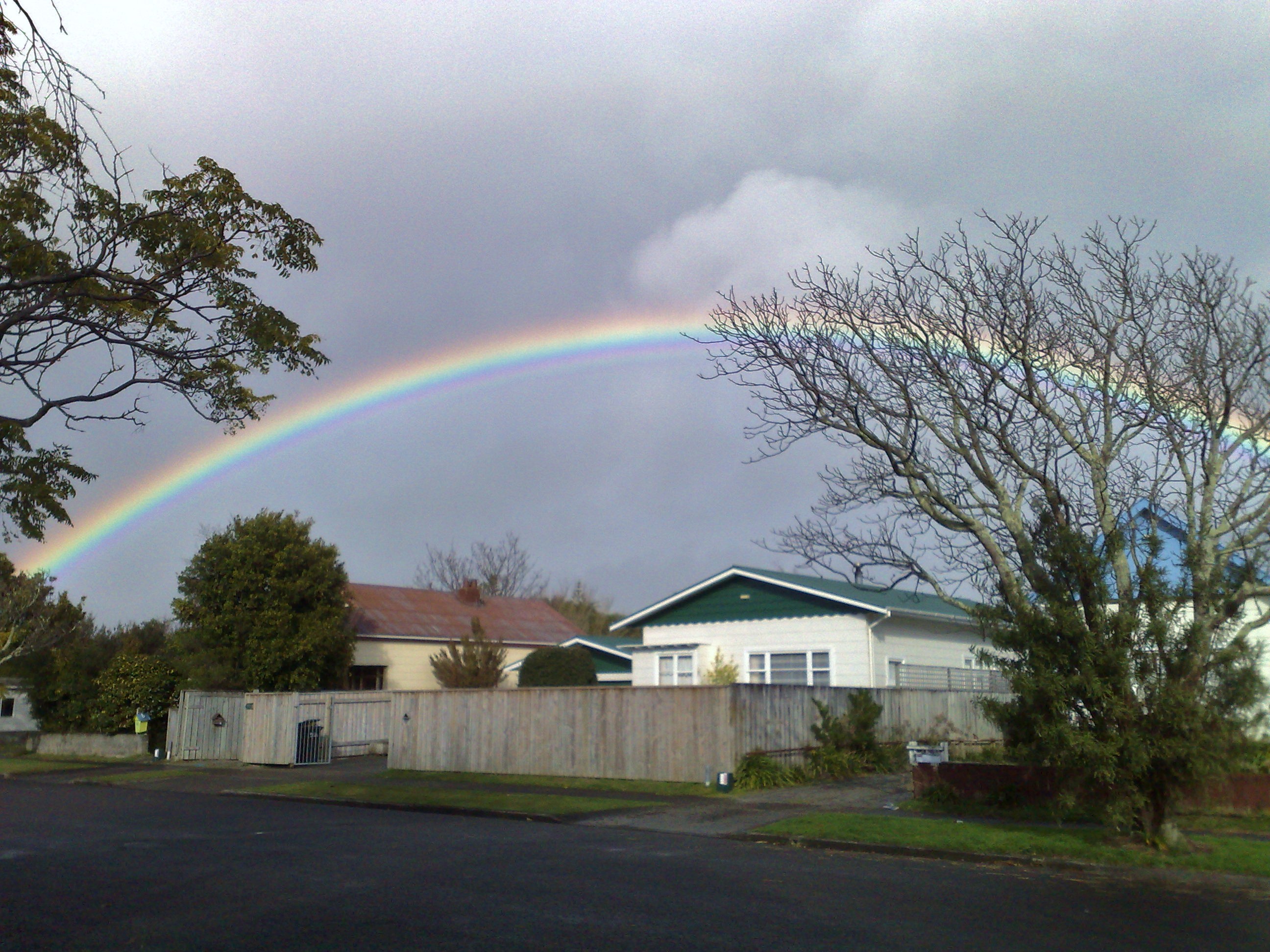
Rainbow on Worcester

Cold and rainy view from my office

Asylum. Top View 2

View out window, Palmerston North City Library

Our window never looked better

The apocafier
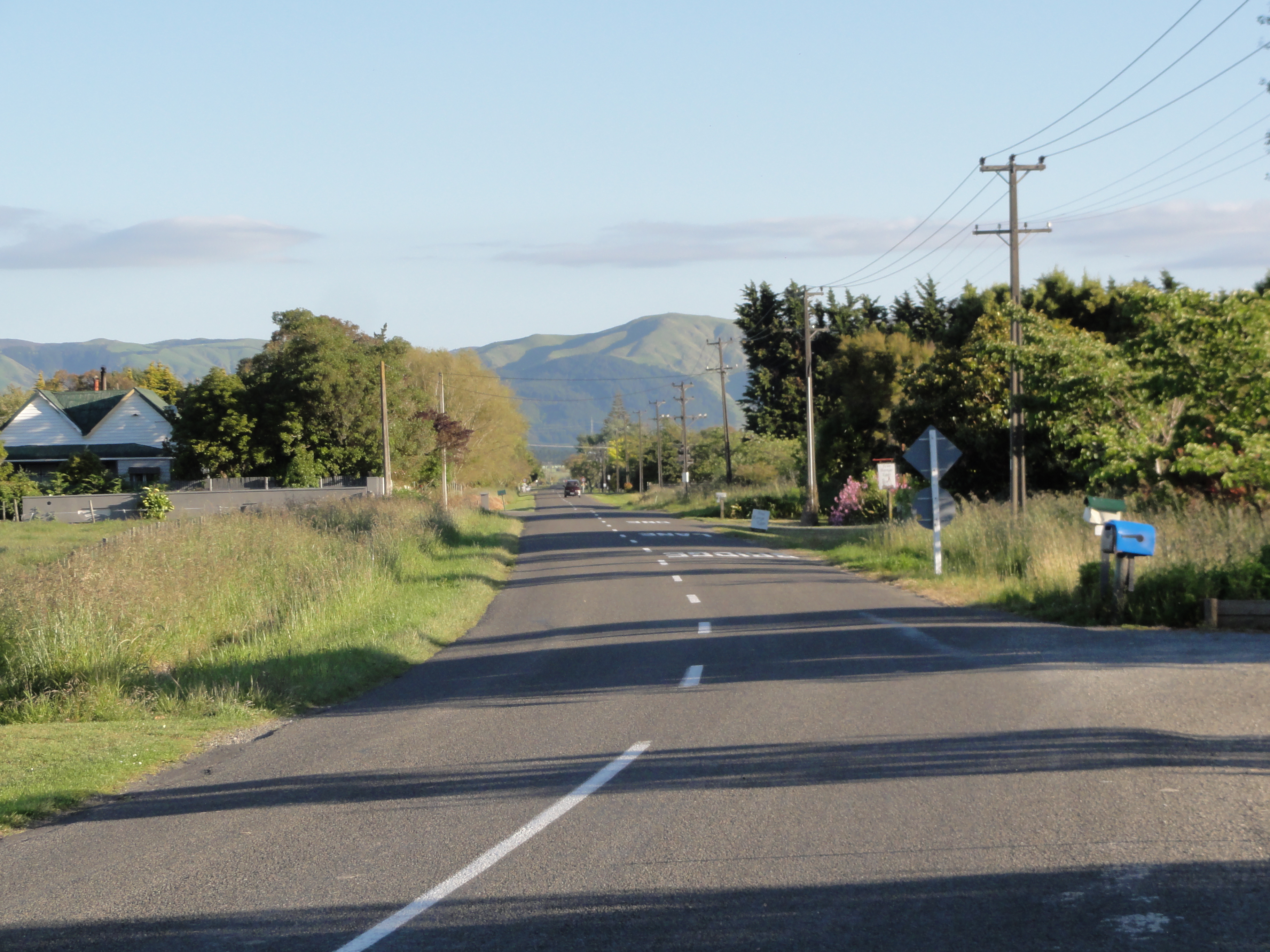
The view down our Road

Palmerston North: Soldiers Club Building (c.1917) (2)
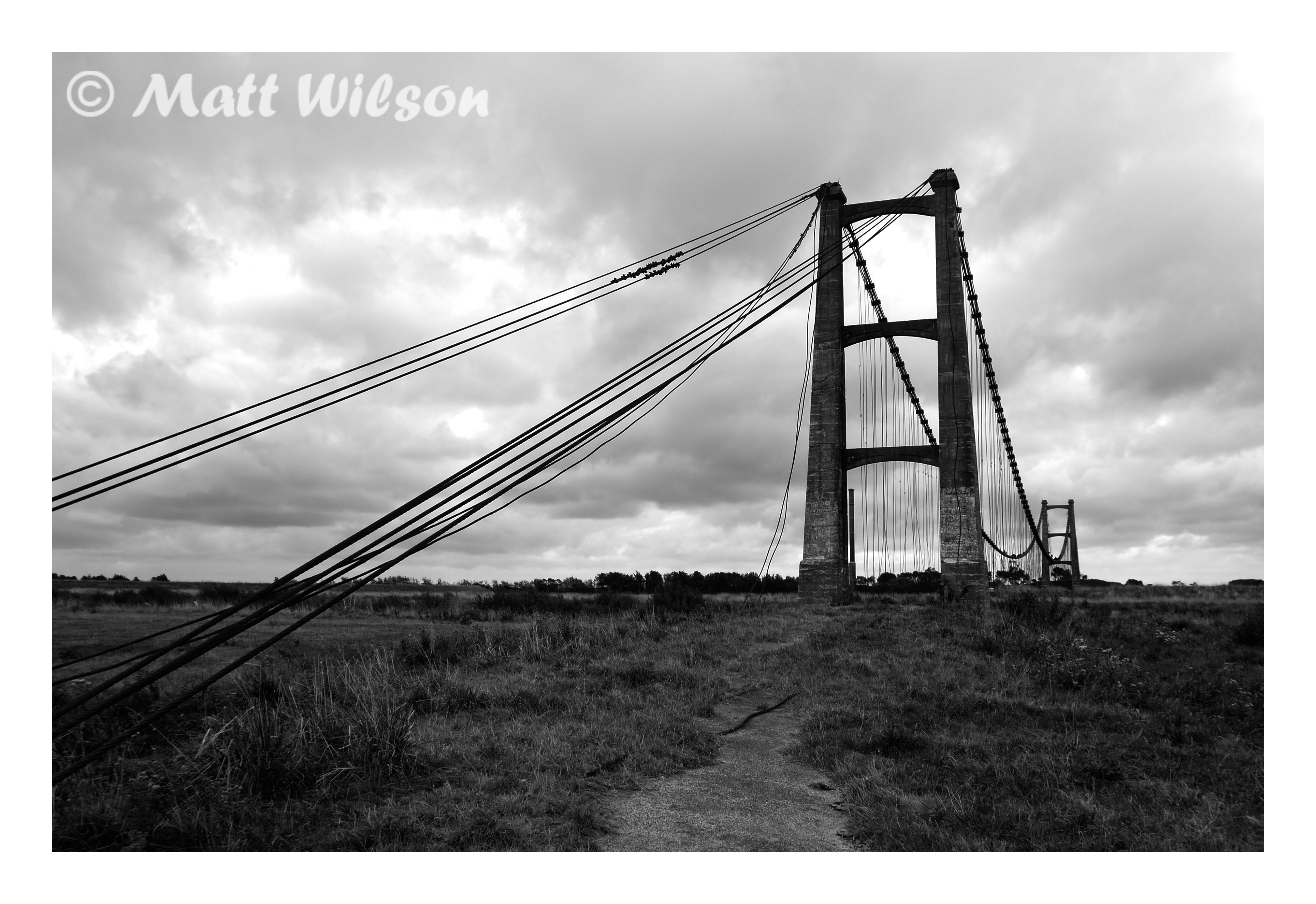
Opiki Bridge Mono
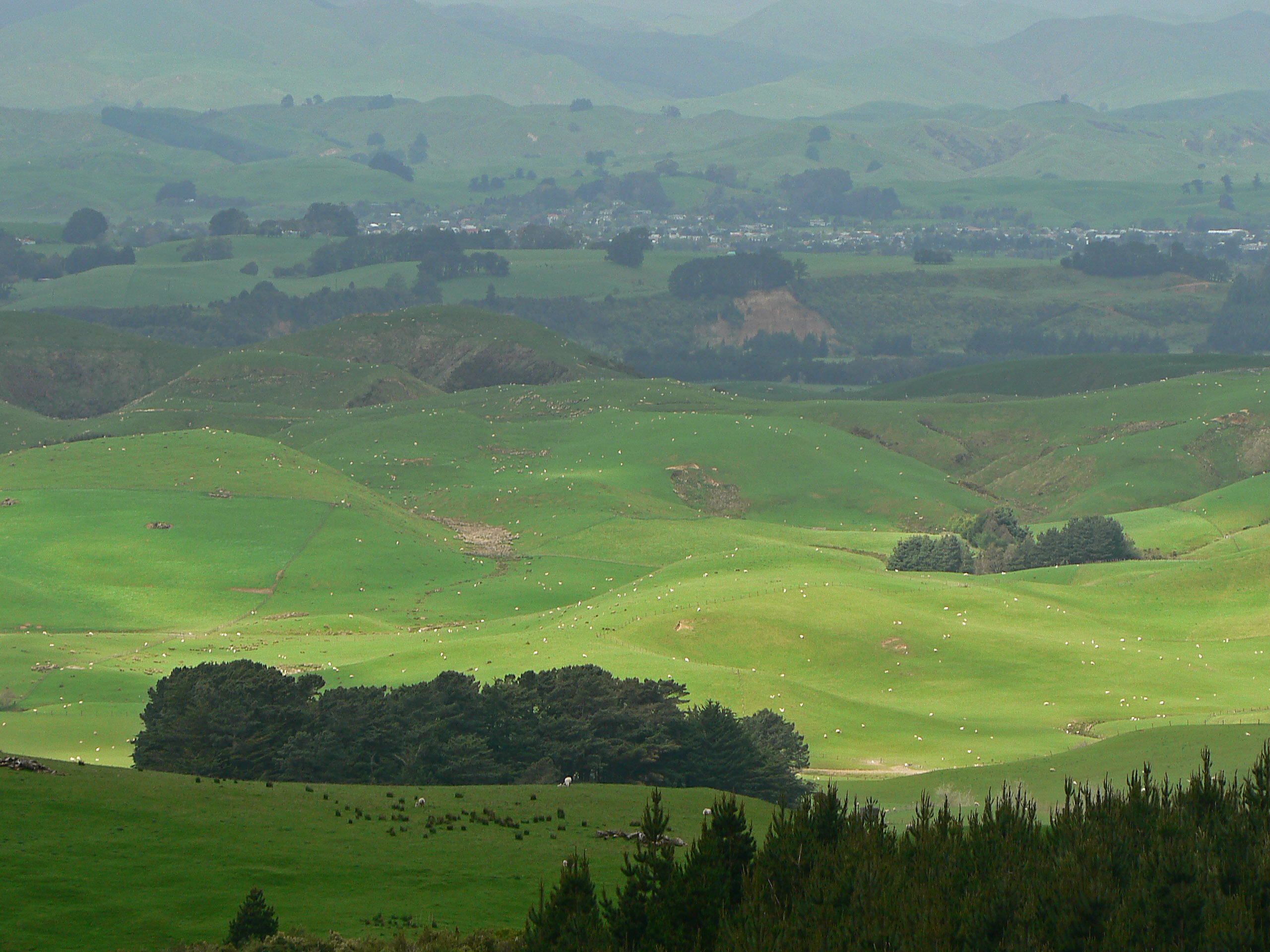
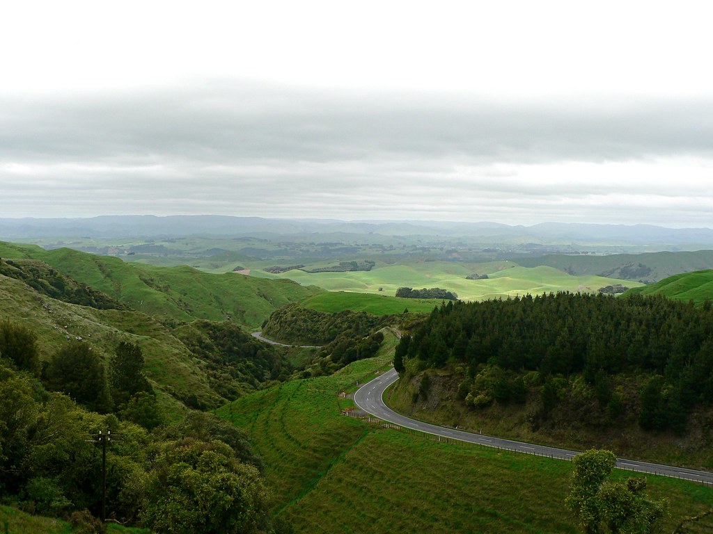
green hills

Hokowhitu (Centennial) Lagoon, Palmerston North

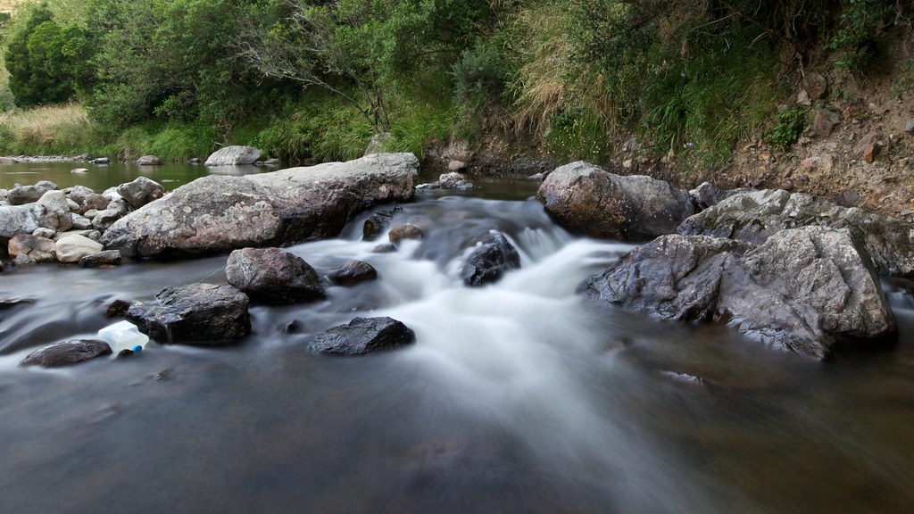
The mighty brown river

Porritt IMG_4279

Manawatu River
Cyprus trees Manawatu river walkway
along the road
Manuwatu bro!

Bunnythorpe - Glaxo's birthplace (c.1937) (2)

Opiki Bridge
Bunnythorpe - Glaxo's birthplace (c.1937) (1)

My surname is Massey!
Train Journey - 11
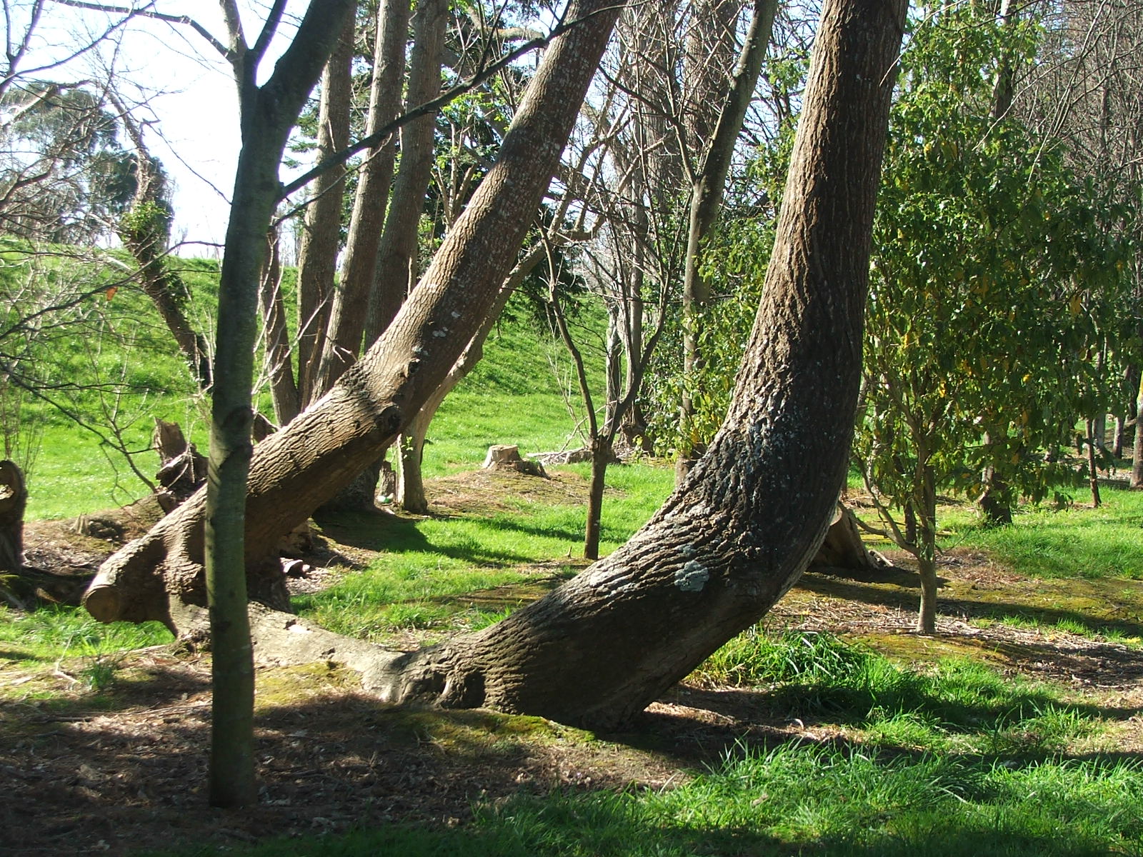
Bent trees on Manawatu river walk way
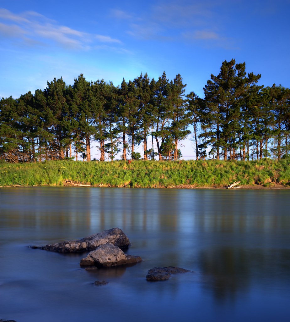
Manawatu River

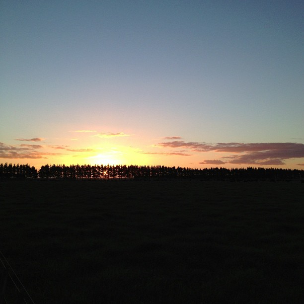
Sunrise - Old West Road

Milky Way over Manawatu River

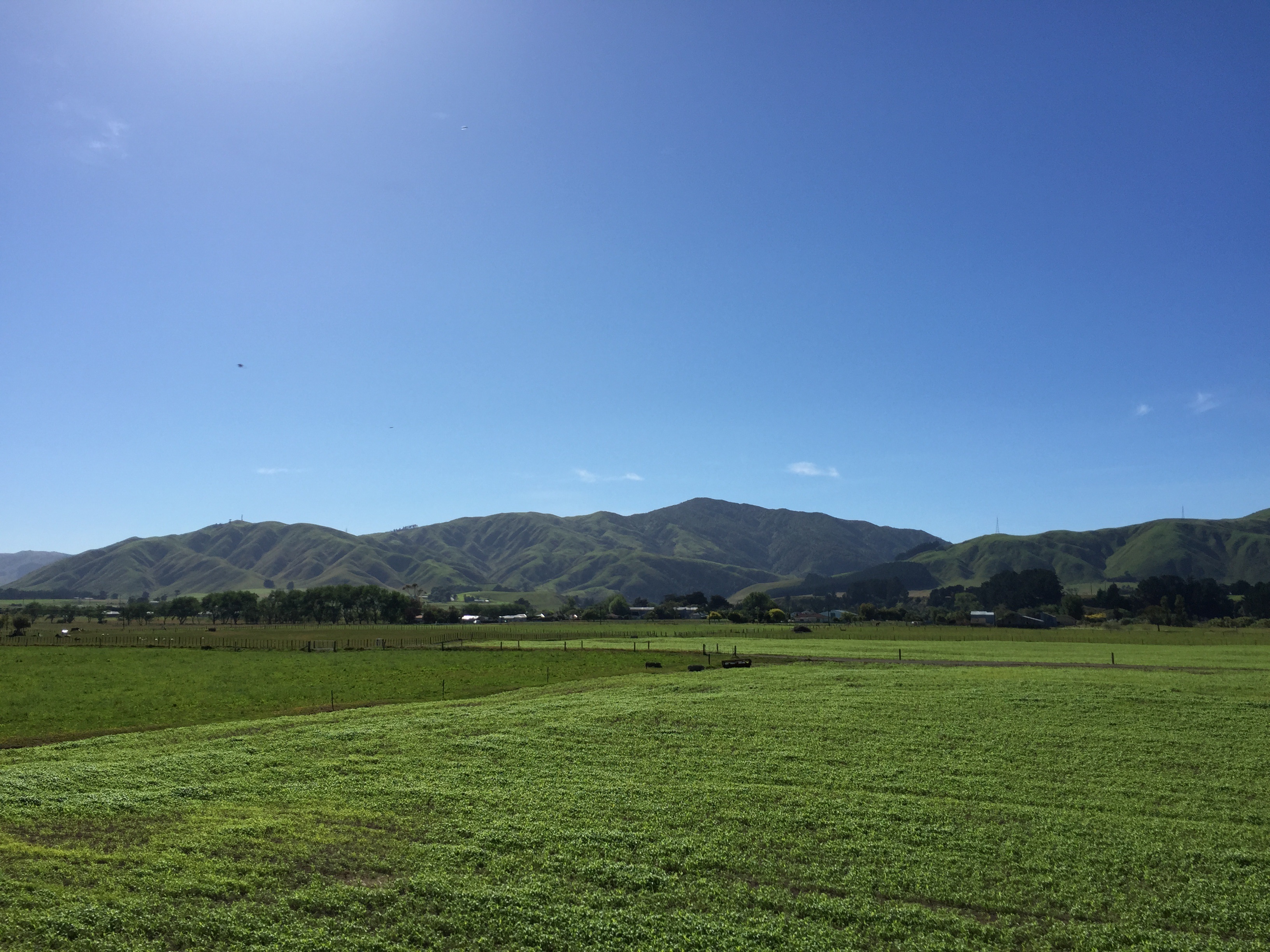
Kapiti Coast
Kahuterawa Reserve
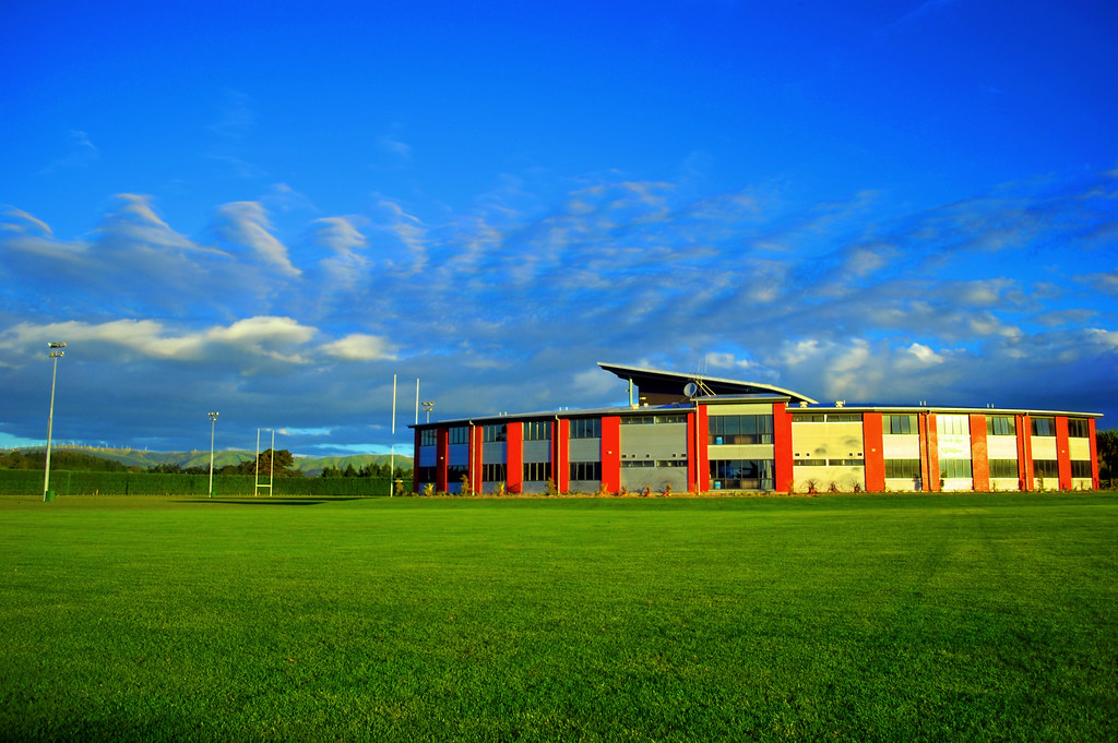
Rugby Institute
Topographic Map of 18 Stillwater Pl, Westbrook, Palmerston North, New Zealand
Find elevation by address:

Places near 18 Stillwater Pl, Westbrook, Palmerston North, New Zealand:
Westbrook
Palmerston North
Terrace End
43 Windsor Street
38 Napier Rd
63 Kelvin Grove Road
27 Daniel Pl
Polson Hill Drive
Awahuri
Highden Manor Estate
Feilding
361 Kimbolton Rd
Opiki
Mount Stewart
Ashhurst
52 Mulgrave St
468 Opiki Road
341 Bainesse Road
Sanson
Bulls
Recent Searches:
- Elevation of Zimmer Trail, Pennsylvania, USA
- Elevation of 87 Kilmartin Ave, Bristol, CT, USA
- Elevation of Honghe National Nature Reserve, QP95+PJP, Tongjiang, Heilongjiang, Jiamusi, Heilongjiang, China
- Elevation of Hercules Dr, Colorado Springs, CO, USA
- Elevation of Szlak pieszy czarny, Poland
- Elevation of Griffing Blvd, Biscayne Park, FL, USA
- Elevation of Kreuzburger Weg 13, Düsseldorf, Germany
- Elevation of Gateway Blvd SE, Canton, OH, USA
- Elevation of East W.T. Harris Boulevard, E W.T. Harris Blvd, Charlotte, NC, USA
- Elevation of West Sugar Creek, Charlotte, NC, USA