Elevation of Wagner Ave, Fleischmanns, NY, USA
Location: United States > New York > Delaware County > Middletown > Fleischmanns >
Longitude: -74.530822
Latitude: 42.154657
Elevation: 468m / 1535feet
Barometric Pressure: 96KPa
Elevation Map:
Satellite Map:
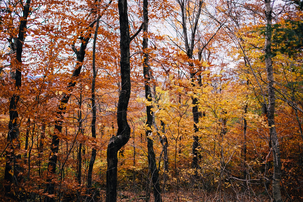
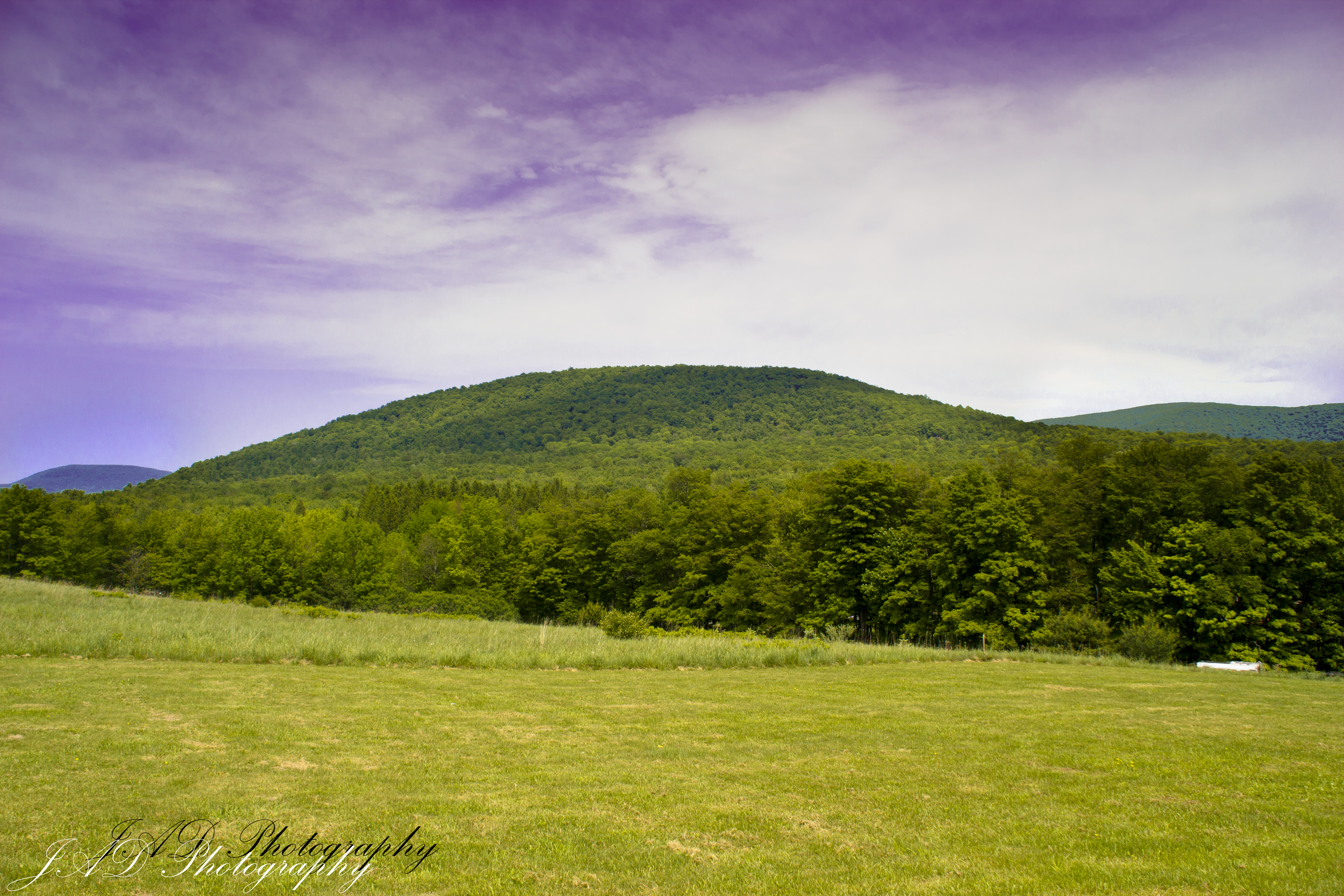
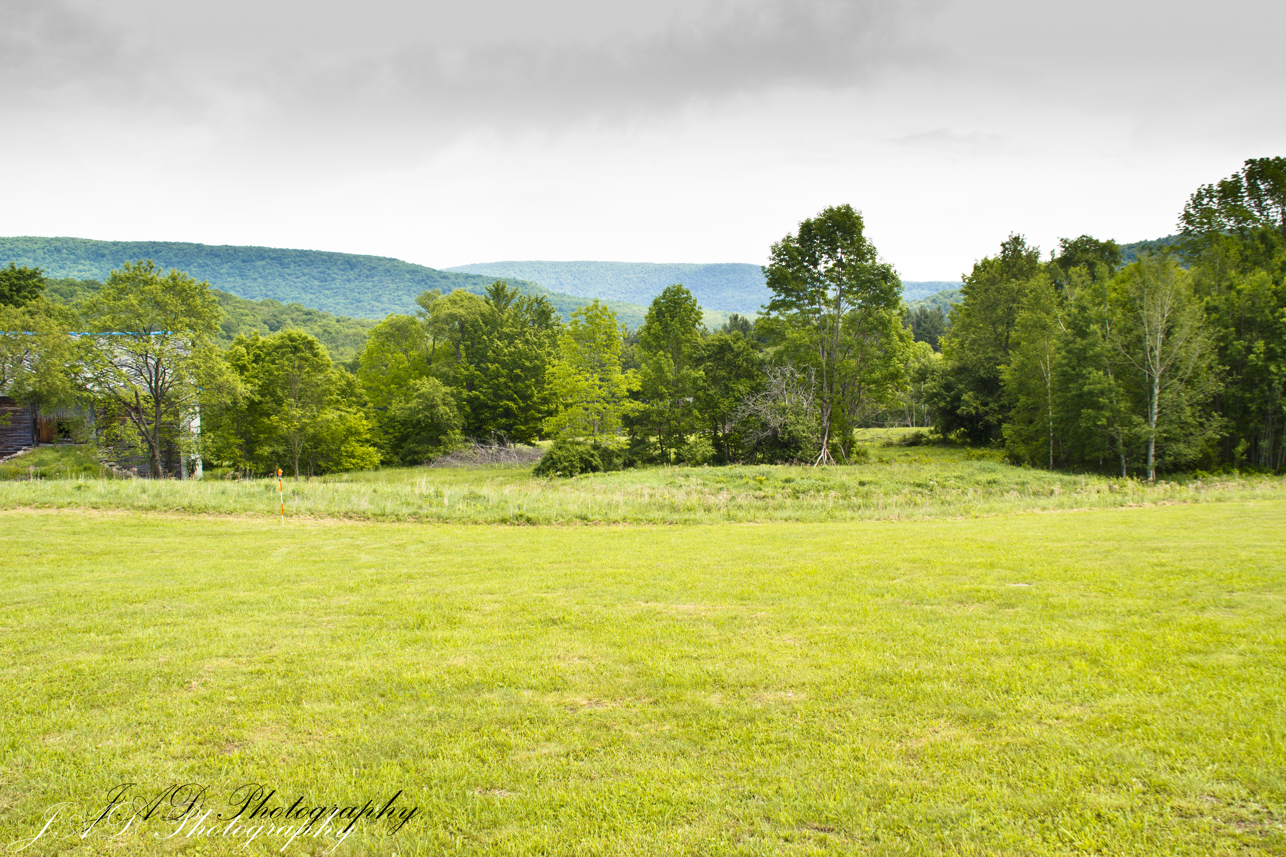
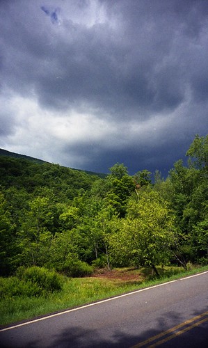
Related Photos:
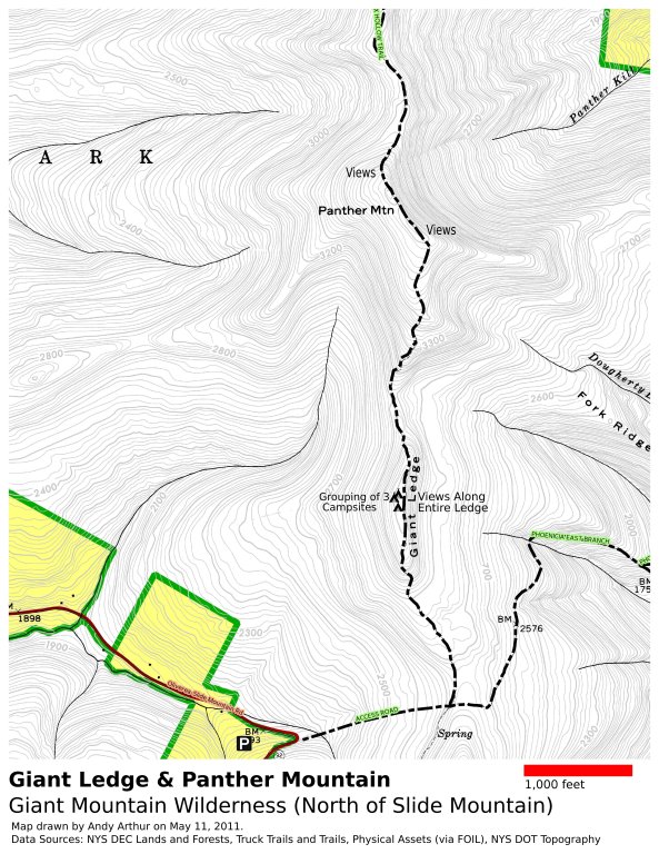
Panther Mountain and Giant Ledge Maps
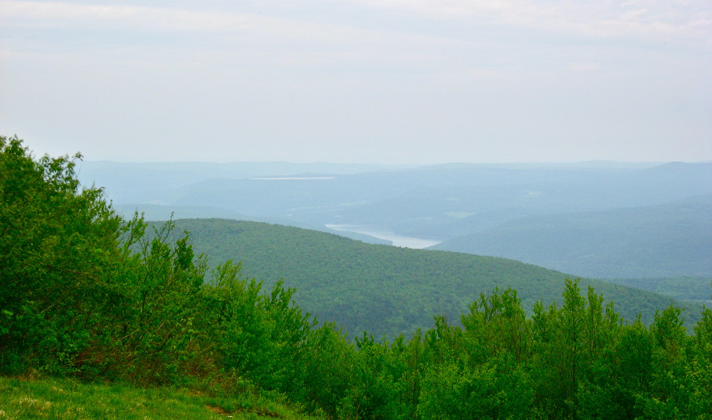
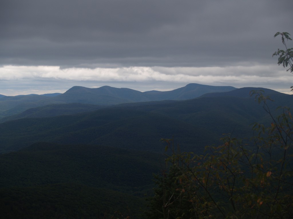
View North (Schoharie Res)
Balsam Lake Mountain
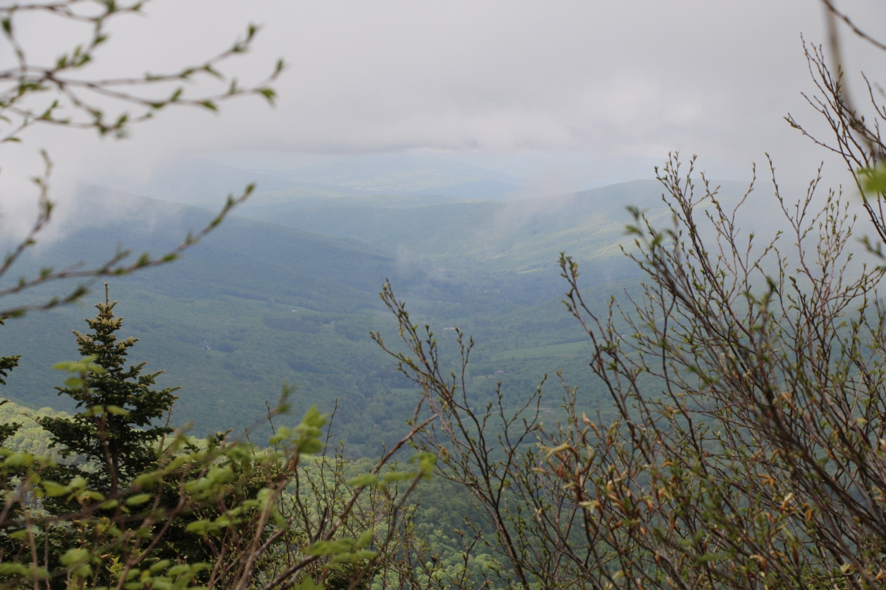
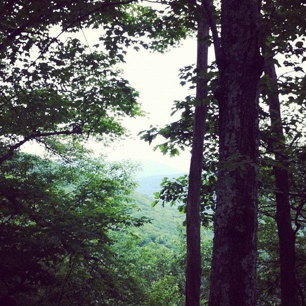
view from within
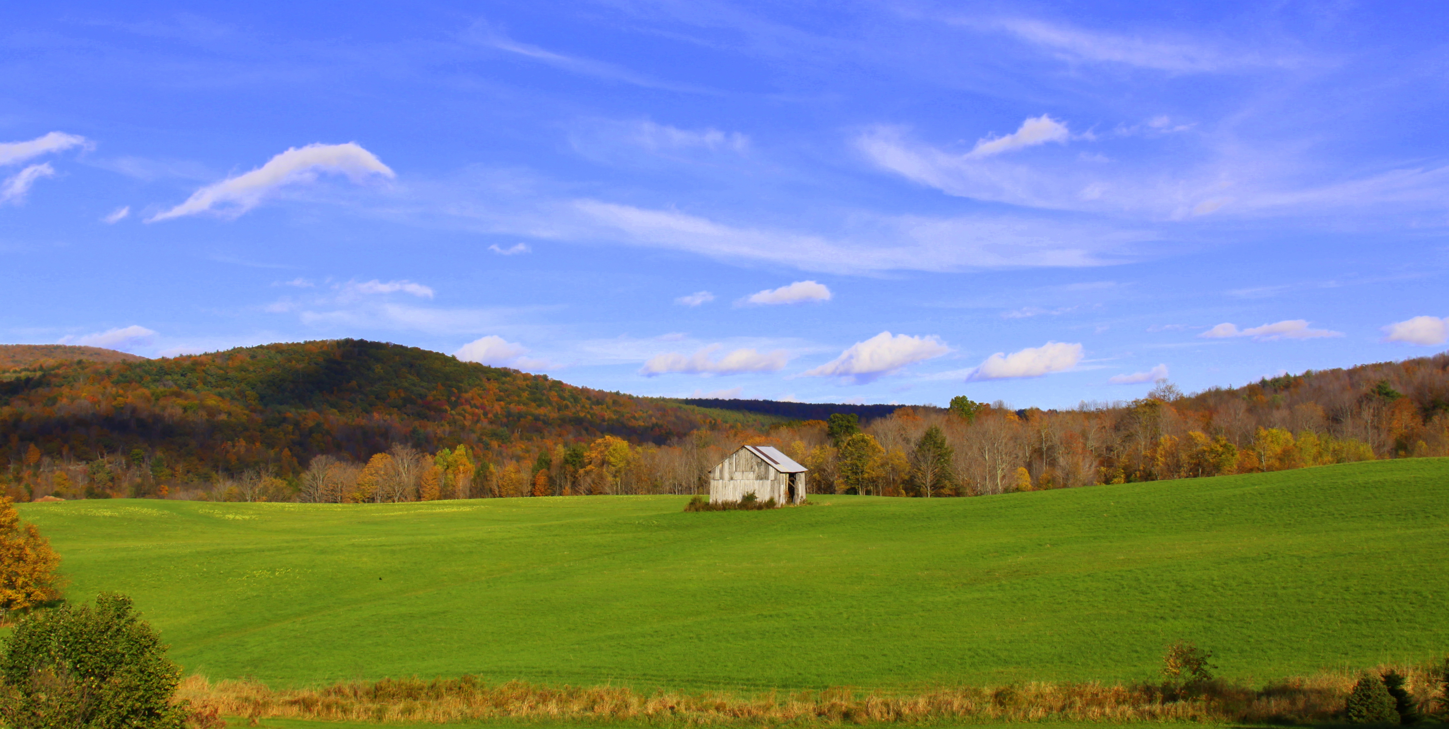
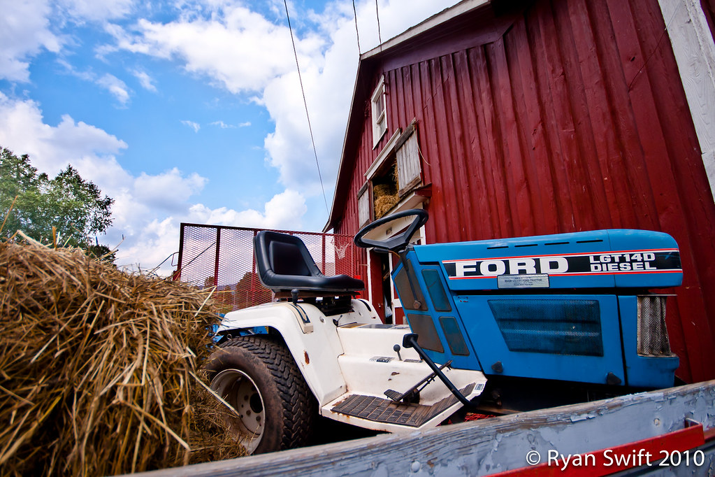
barn and landscape NY
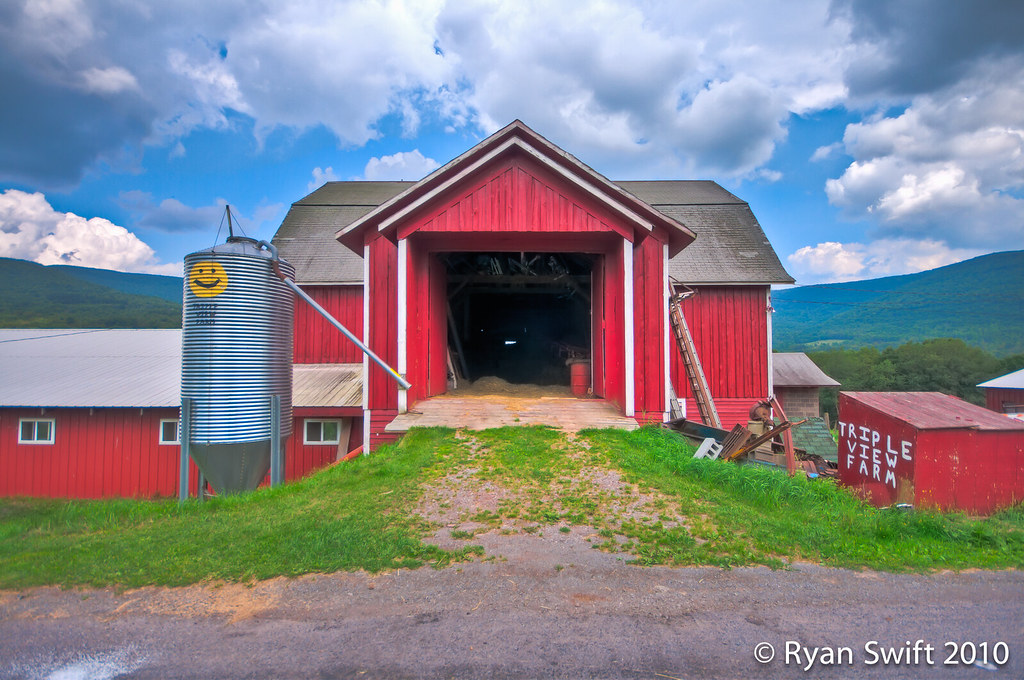
: ) Triple View Farm

Still There After 10 Years 3
panther mountain
317_Catskills-Bushwhack_Sherrill_view
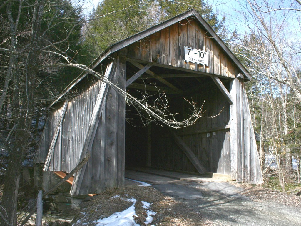
Tappan or Kittle Covered Bridge
322_Catskills-Bushwhack_Sherrill_view
266 Zoomed-In view back down Dry Brook Road from Doubletop Mountain
374_Catskills-Bushwhack_North-Dome_Sherrill_descent
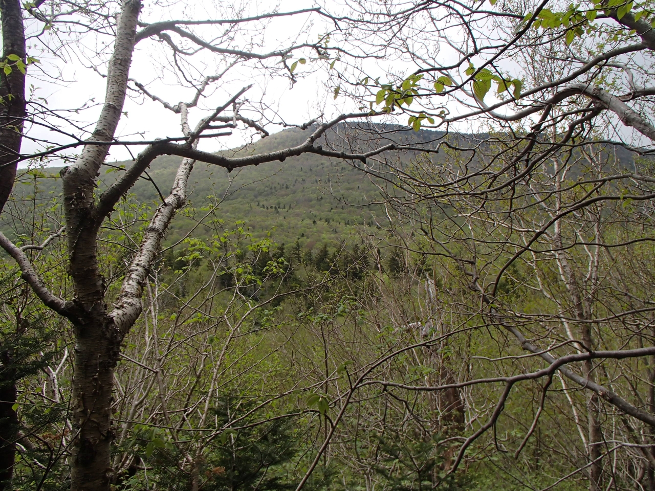
View from the hike. #yttp #latergram
313_Catskills-Bushwhack_Sherrill_view
226 We finally get a view of Doubletop Mountain as we bushwhack down to the saddle
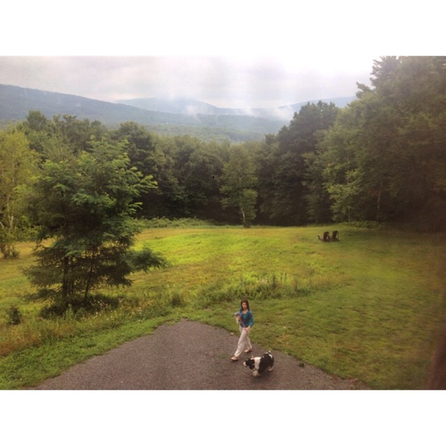
Triple View Farm
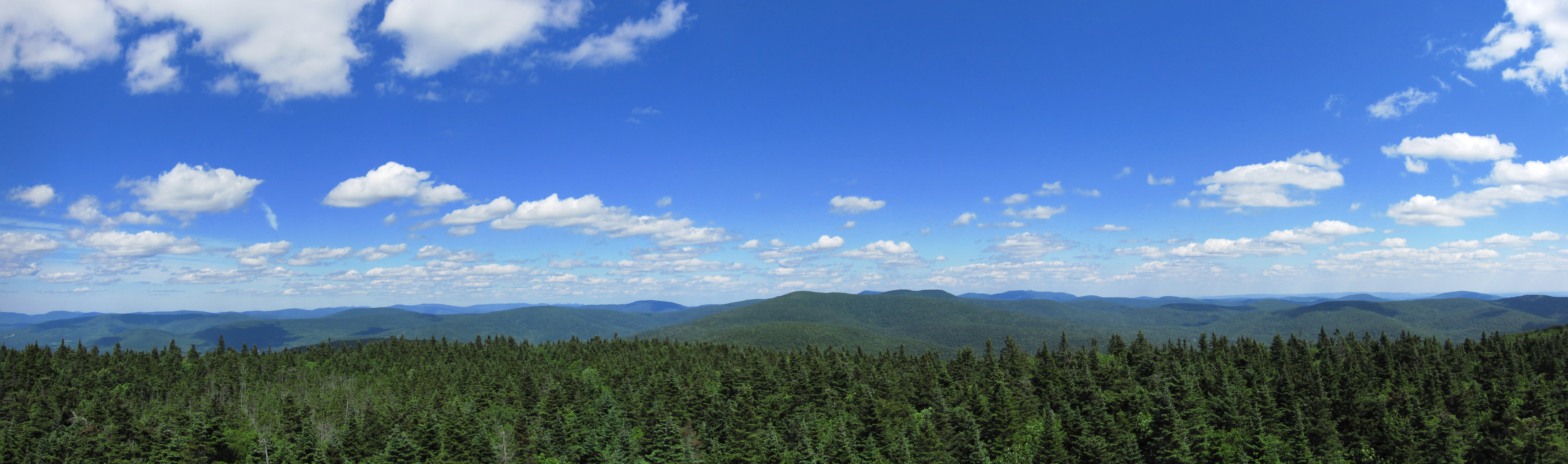
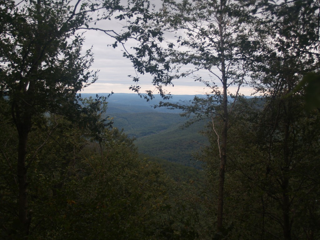
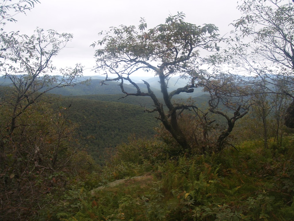
View from Graham
this is my view while cooking paella
View From Above
A View (of sorts)

Over Yonder
DSCF8599.jpg
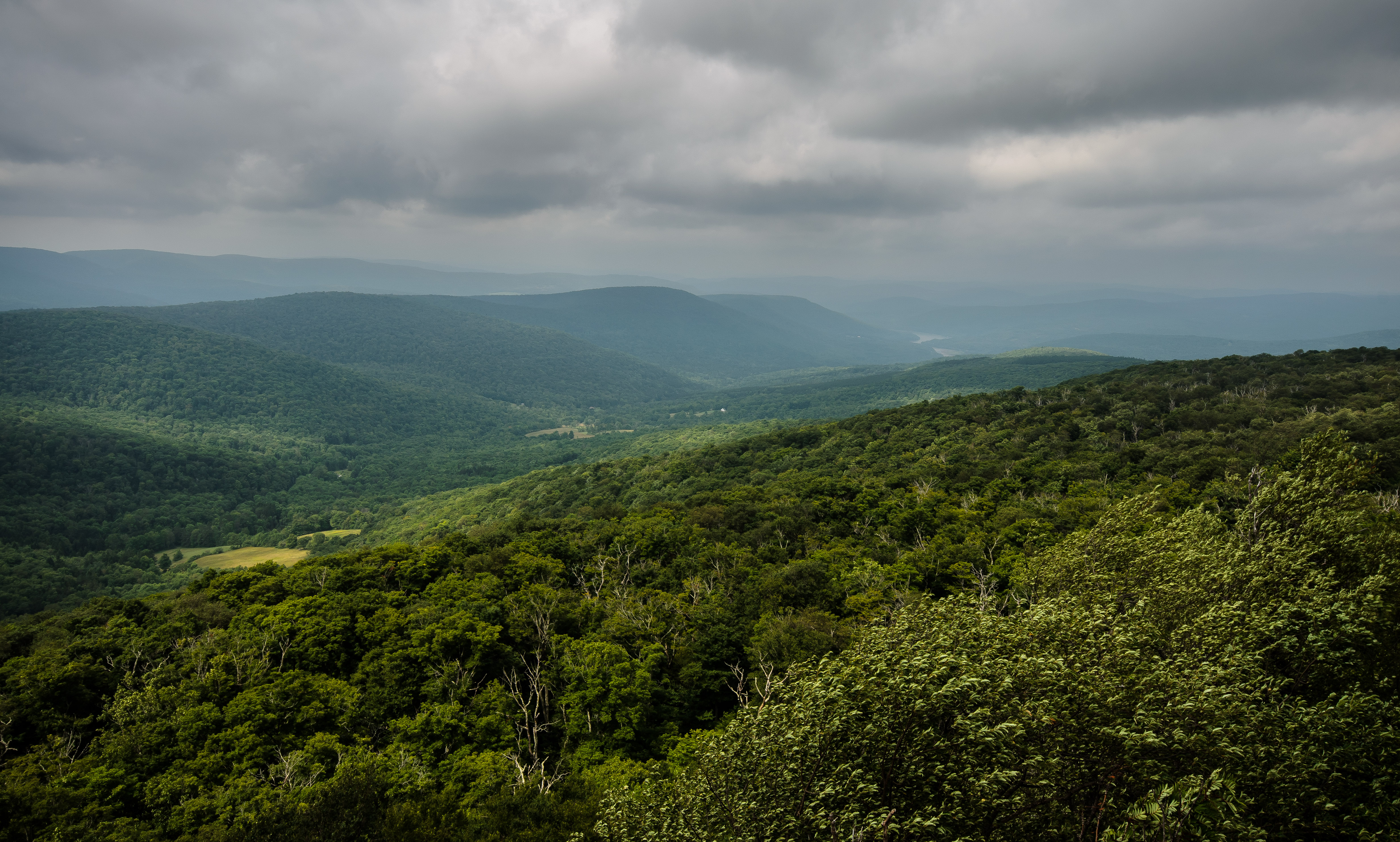
Rolling Hills in Delaware County

103 Hiking uphill on the Seagar Trail

DSCF8697.jpg
Rollin Hills
impending storm
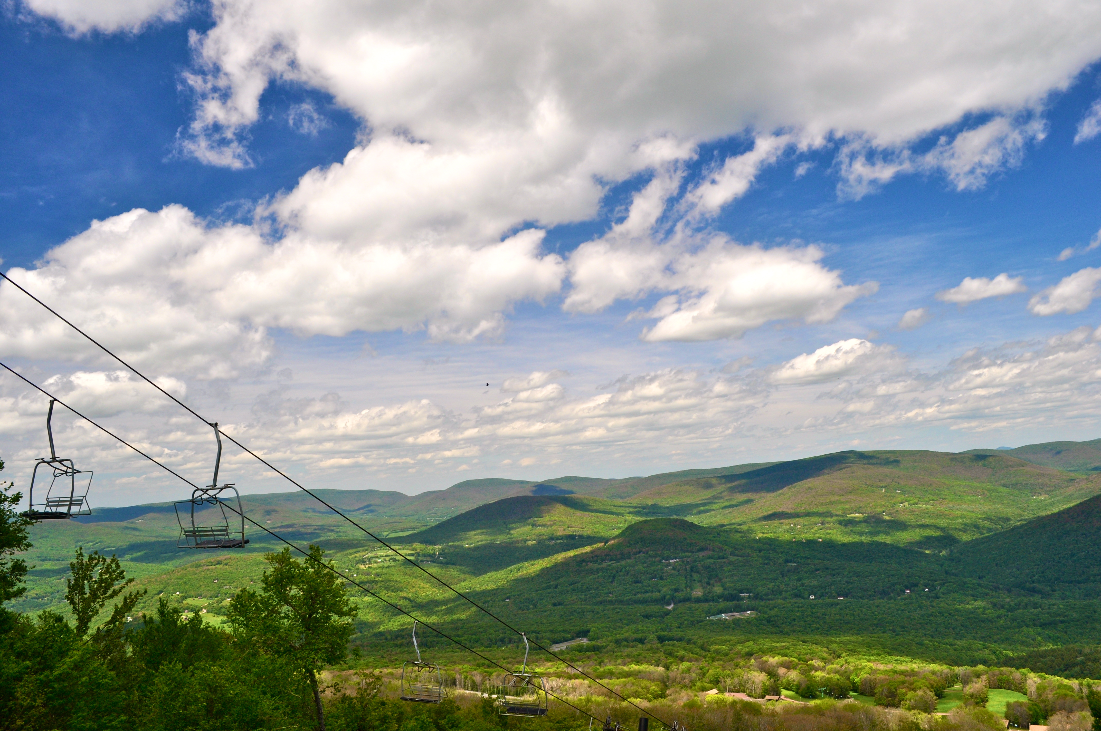
Skiing in the Spring
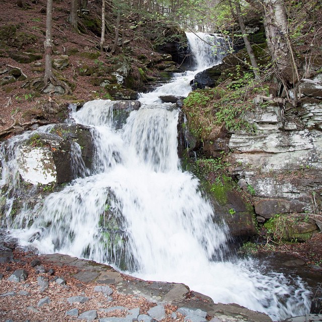
And on the way back I found a waterfall. Which was excellent.
Post morning thunderstorm potty.

DSCF8523.jpg

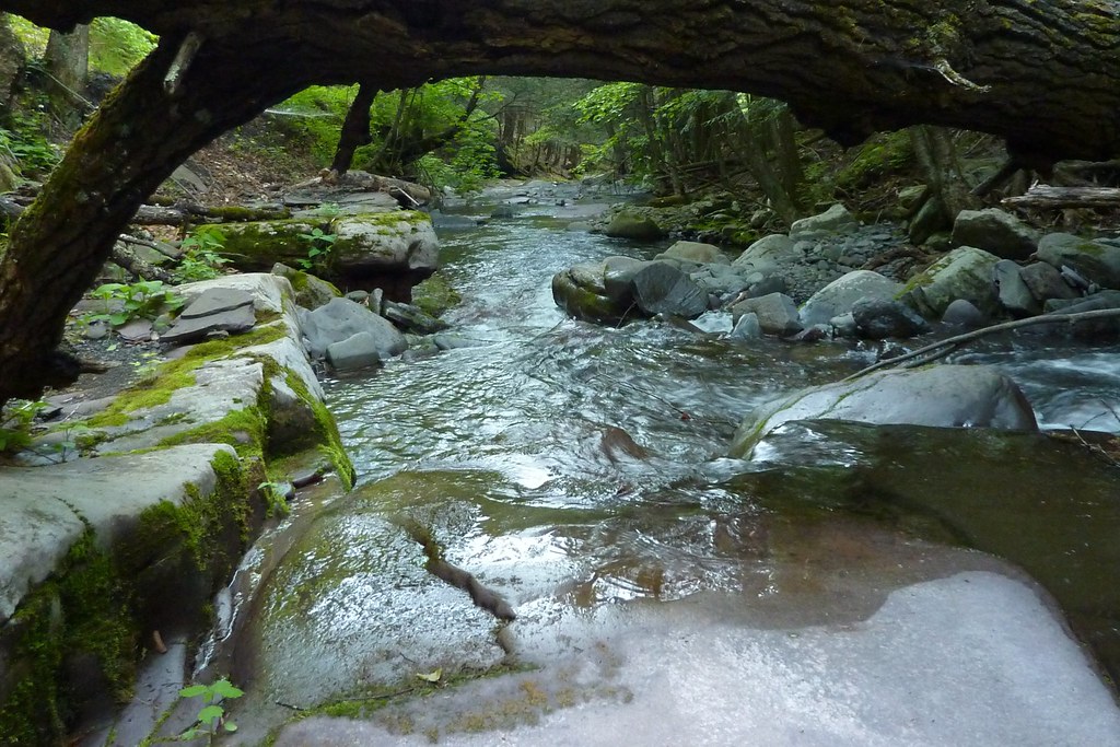
Lower Birch Creek
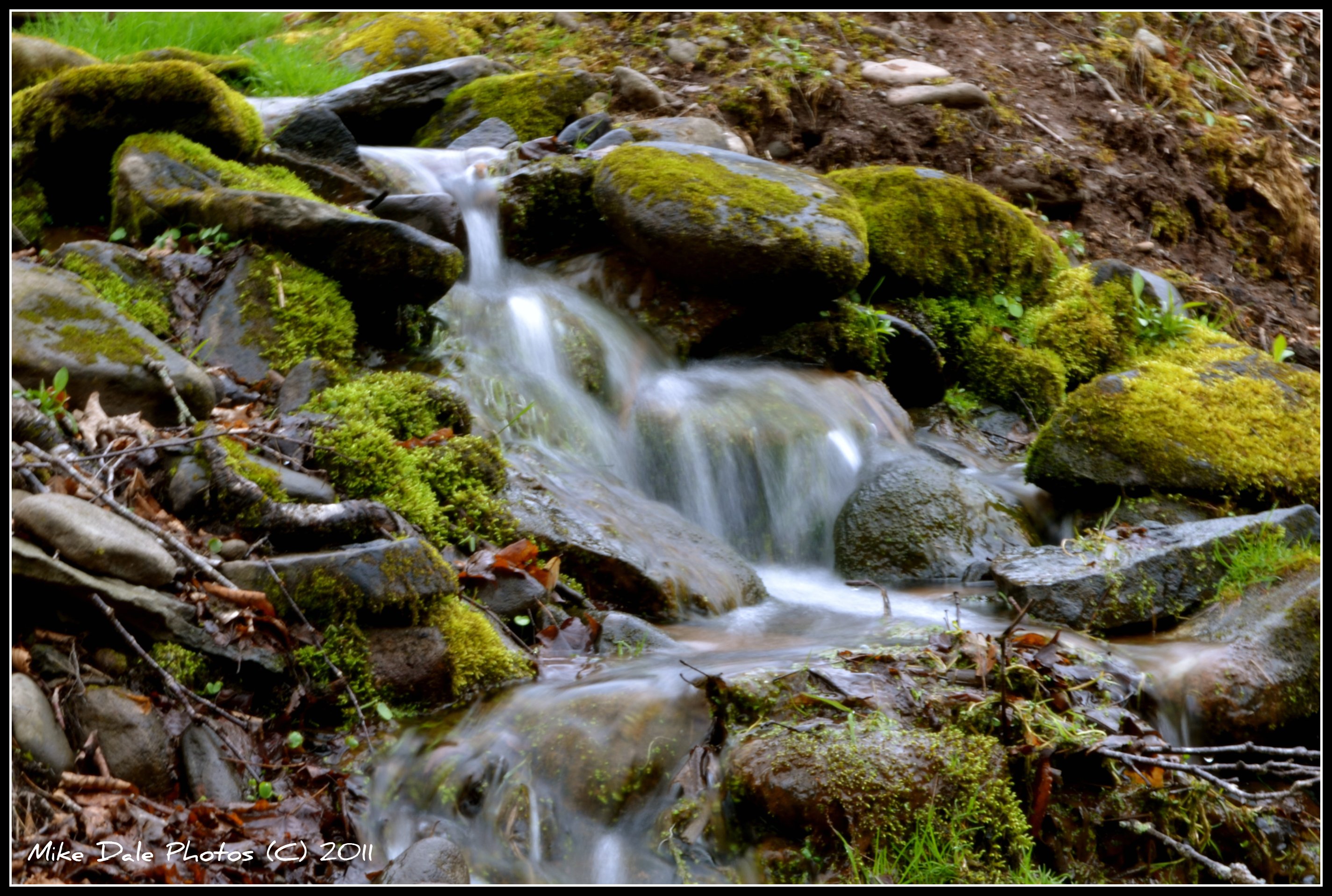
Mountain stream
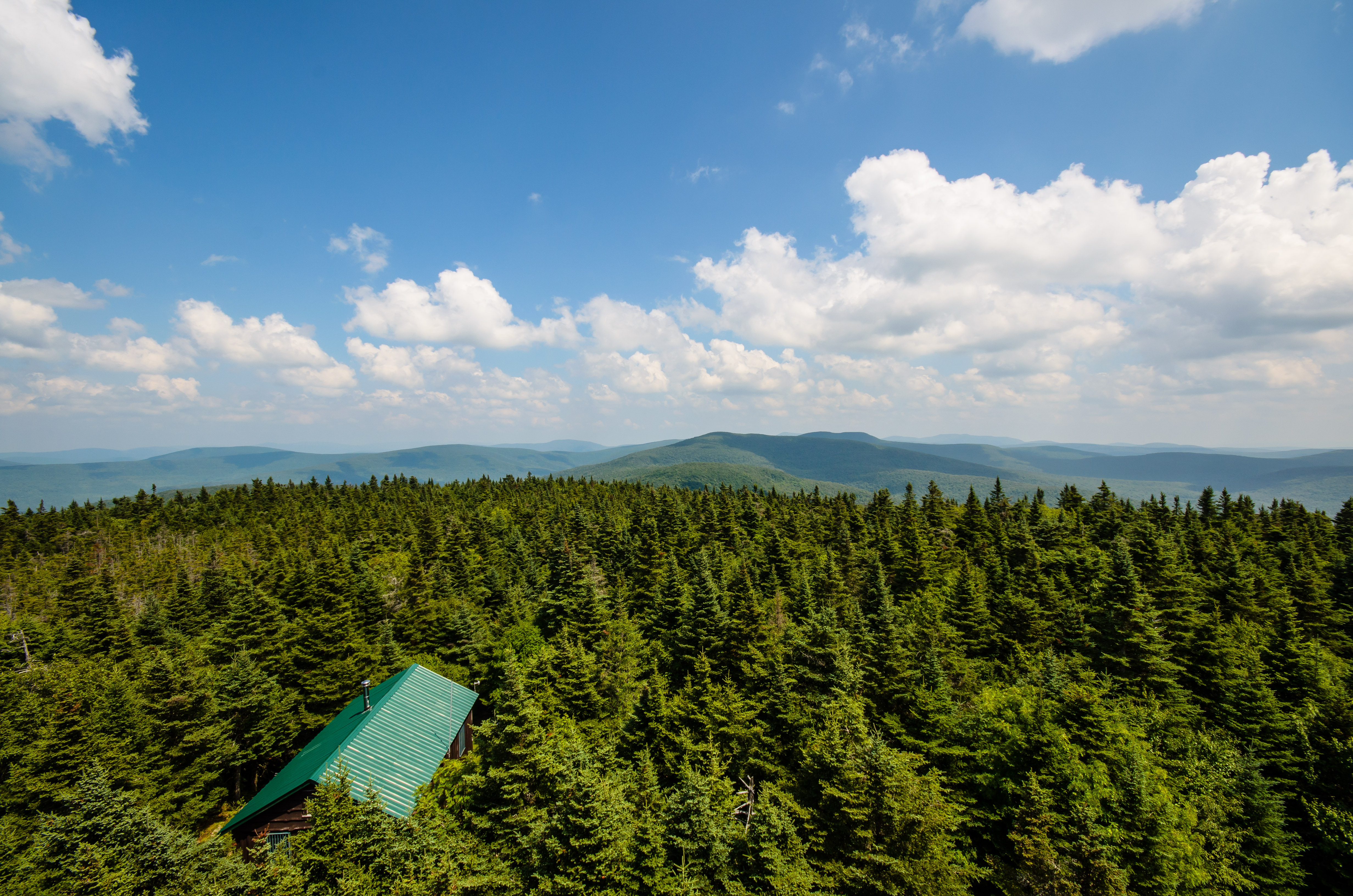
Cabin in the woods
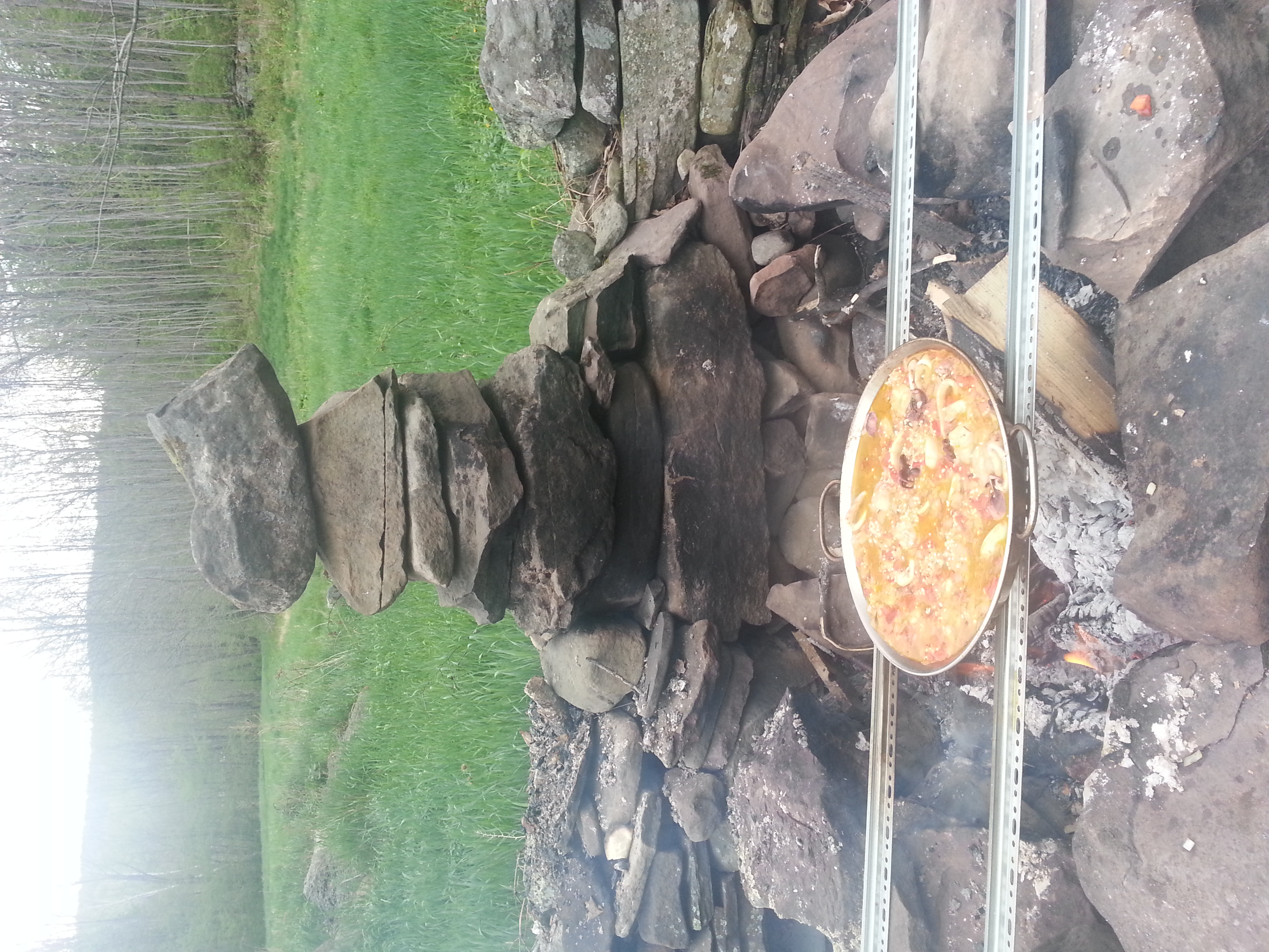
Paella over wood
Rain is coming
Evening walk on Peck Hollow Road
080 Hiking on the Seagar Trail
Topographic Map of Wagner Ave, Fleischmanns, NY, USA
Find elevation by address:

Places near Wagner Ave, Fleischmanns, NY, USA:
925 Main St
1112 Main St
1276 Main St
307 Breezy Hill Rd
Belleayre Mountain Ski Center
Highmount
62 Barley Rd
3125 Brush Ridge Rd
207 Birch Creek Rd
27 Pine Hill Rd
Pine Hill
35 Elm St, Pine Hill, NY, USA
10 Lake St
50 Oliverea Rd
Big Indian
565 Oliverea Rd
Erika Drive
220 Ny-42
7433 Ny-28
21 NY-42, Shandaken, NY, USA
Recent Searches:
- Elevation of Elwyn Dr, Roanoke Rapids, NC, USA
- Elevation of Congressional Dr, Stevensville, MD, USA
- Elevation of Bellview Rd, McLean, VA, USA
- Elevation of Stage Island Rd, Chatham, MA, USA
- Elevation of Shibuya Scramble Crossing, 21 Udagawacho, Shibuya City, Tokyo -, Japan
- Elevation of Jadagoniai, Kaunas District Municipality, Lithuania
- Elevation of Pagonija rock, Kranto 7-oji g. 8"N, Kaunas, Lithuania
- Elevation of Co Rd 87, Jamestown, CO, USA
- Elevation of Tenjo, Cundinamarca, Colombia
- Elevation of Côte-des-Neiges, Montreal, QC H4A 3J6, Canada