Elevation of 62 Barley Rd, Highmount, NY, USA
Location: United States > New York > Ulster County > Shandaken > Pine Hill > Highmount >
Longitude: -74.486439
Latitude: 42.1470467
Elevation: 618m / 2028feet
Barometric Pressure: 94KPa
Elevation Map:
Satellite Map:
Related Photos:

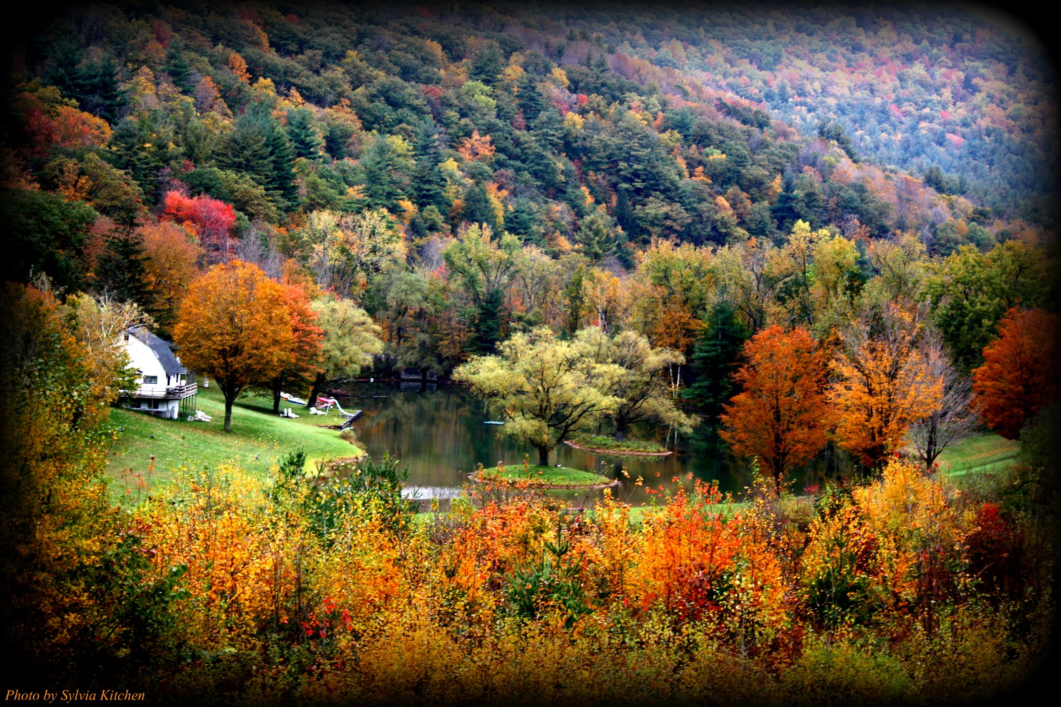
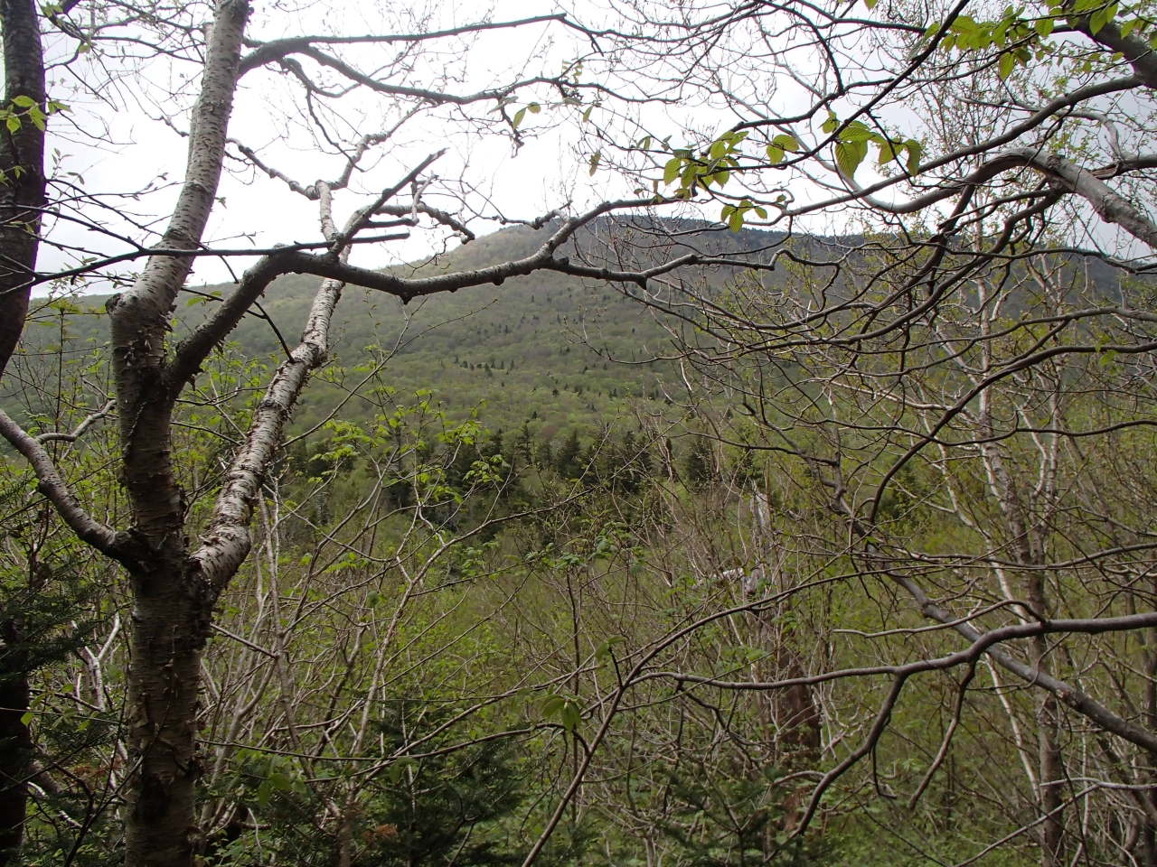
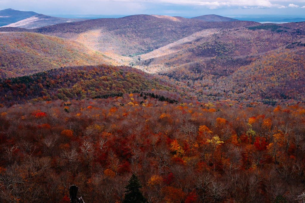
Catskill Panoramic.

Starry Night

Tappan or Kittle Covered Bridge
Near Highmount, NY

view from panther mountain
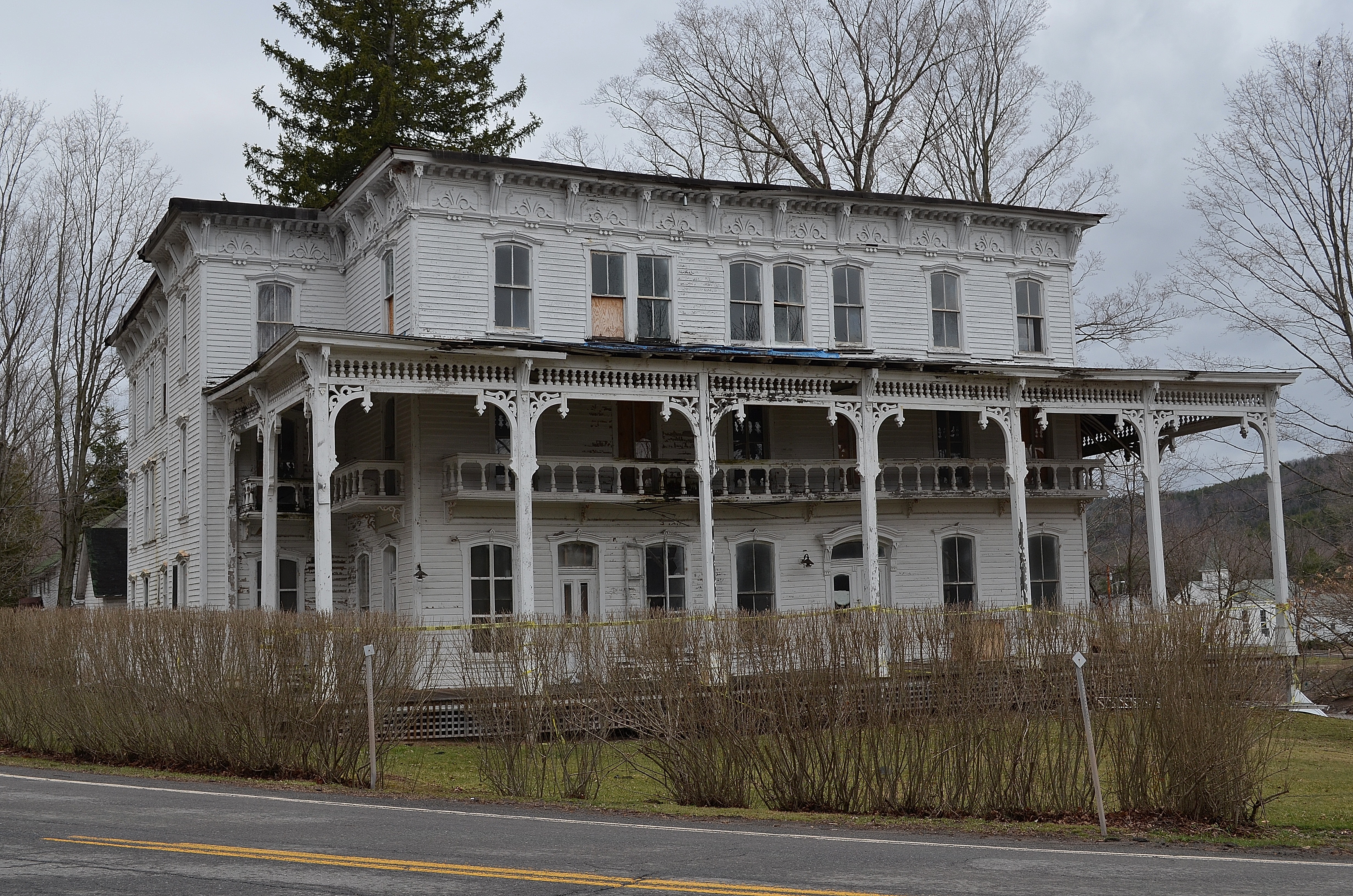
The Lexington House 4

The Lexington House 2

The Lexington House
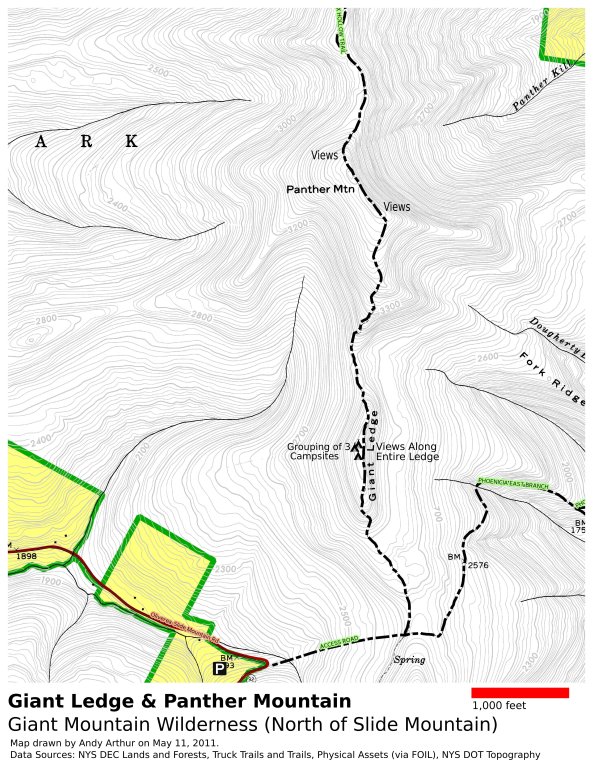
Panther Mountain and Giant Ledge Maps

Balsam Lake Mountain

Cabin in the woods

The Lexington House 3

Still There After 10 Years 3

panther mountain
this is my view while cooking paella

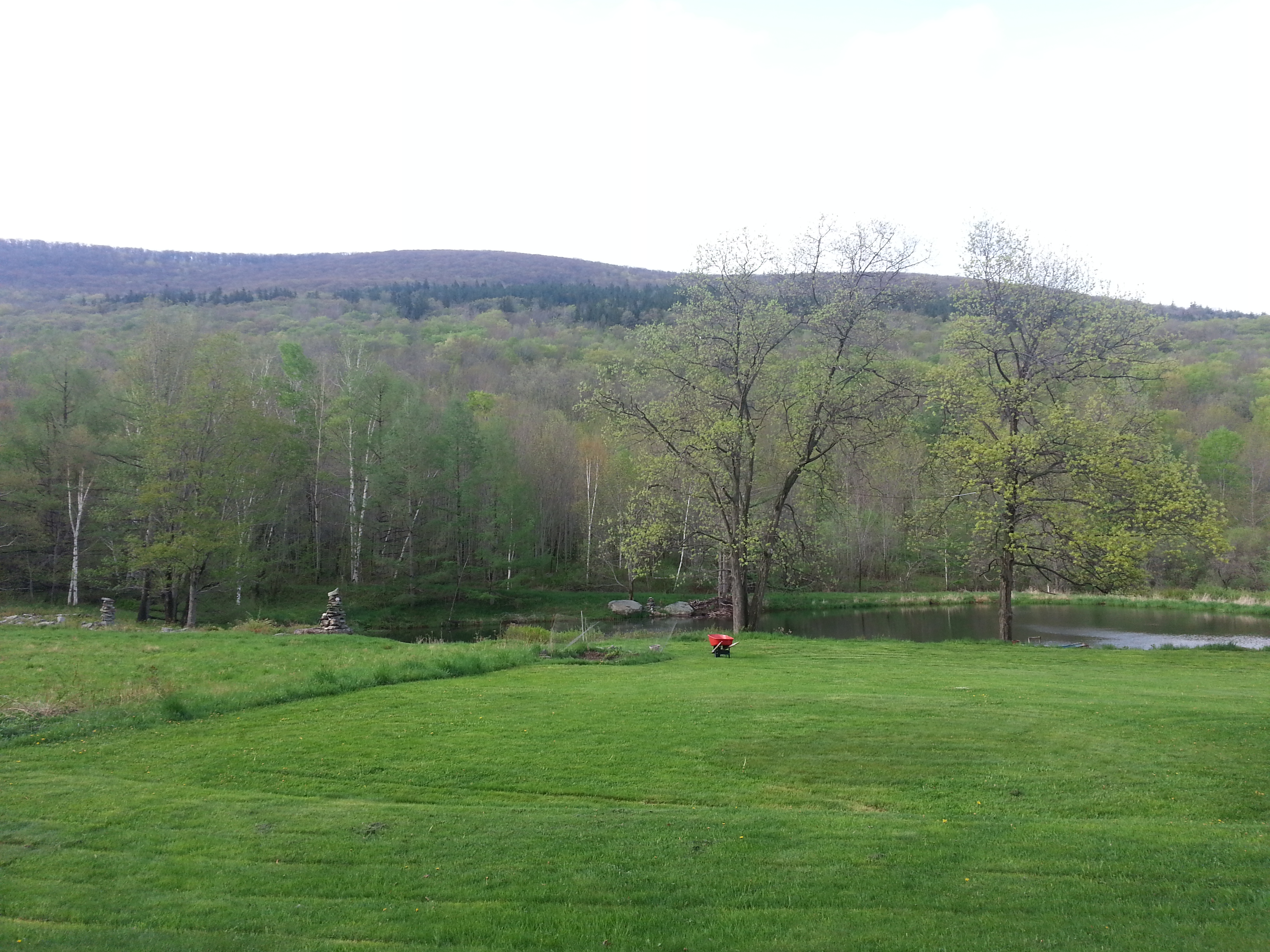
Triple View Farm

Best Morning View

Valley_View_House_flowers+cards

323_Catskills-Bushwhack_Sherrill_view
226 We finally get a view of Doubletop Mountain as we bushwhack down to the saddle

322_Catskills-Bushwhack_Sherrill_view
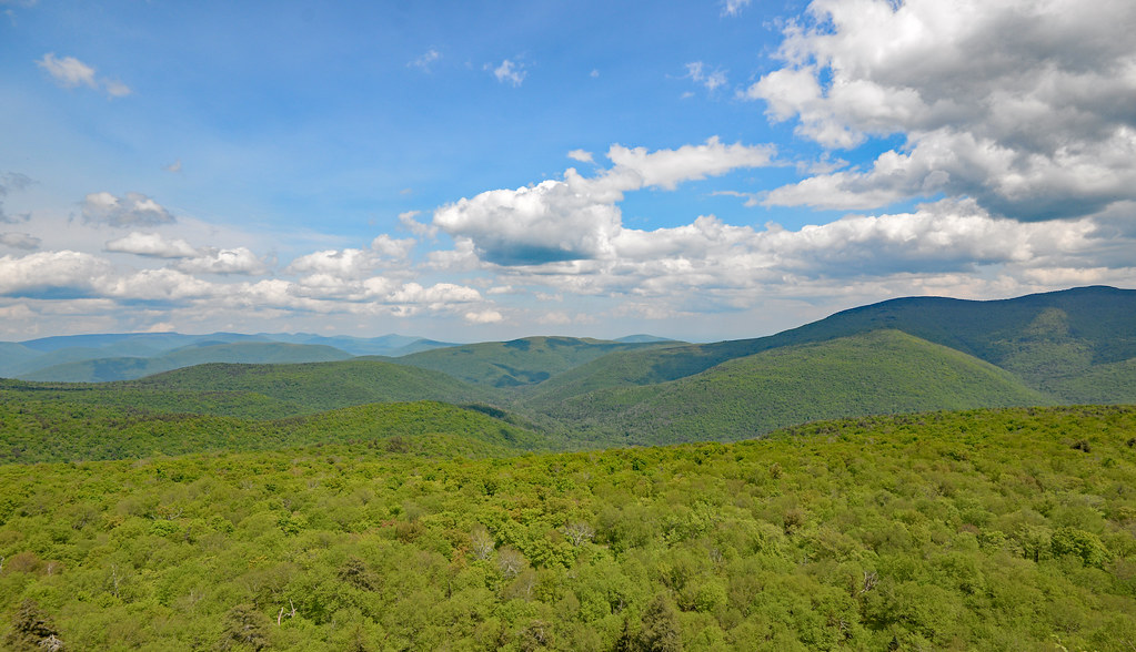
Catskill Landscape

The Artist in the Landscape

Over Yonder
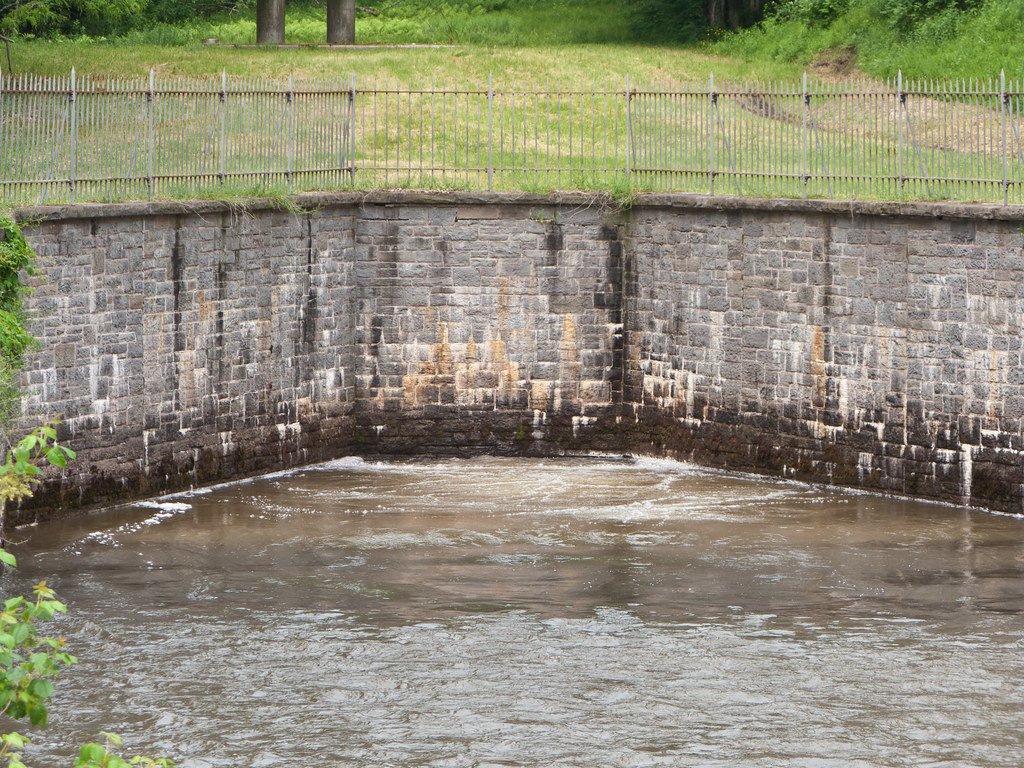
Shandaken Tunnel

Monochromatic pano

Catskills Panorama

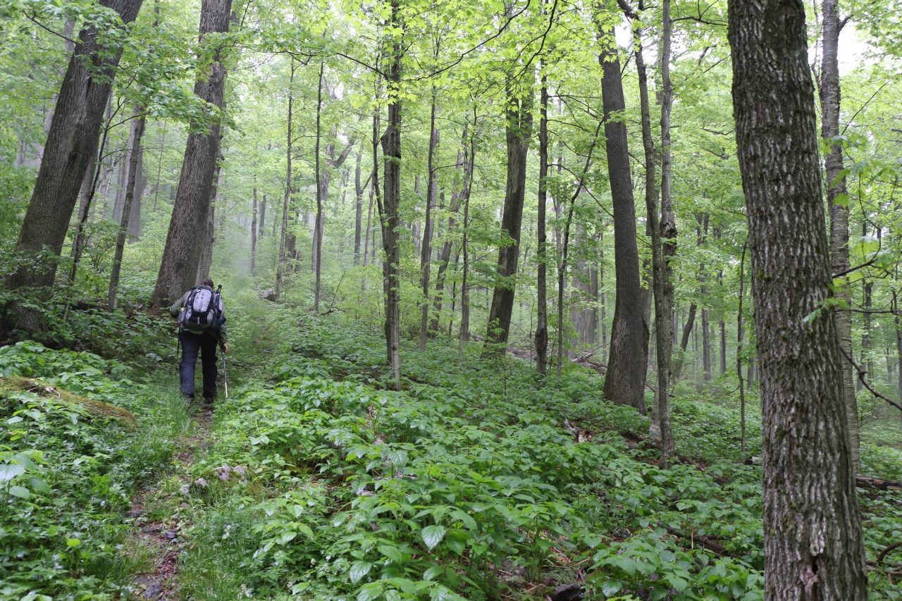
Hiking in the Catskills

DSCF8599.jpg

Sun Shower

2014 | 291 | 13 | 23 | 52.jpg

samsebeskazal.livejournal.com-02114.jpg

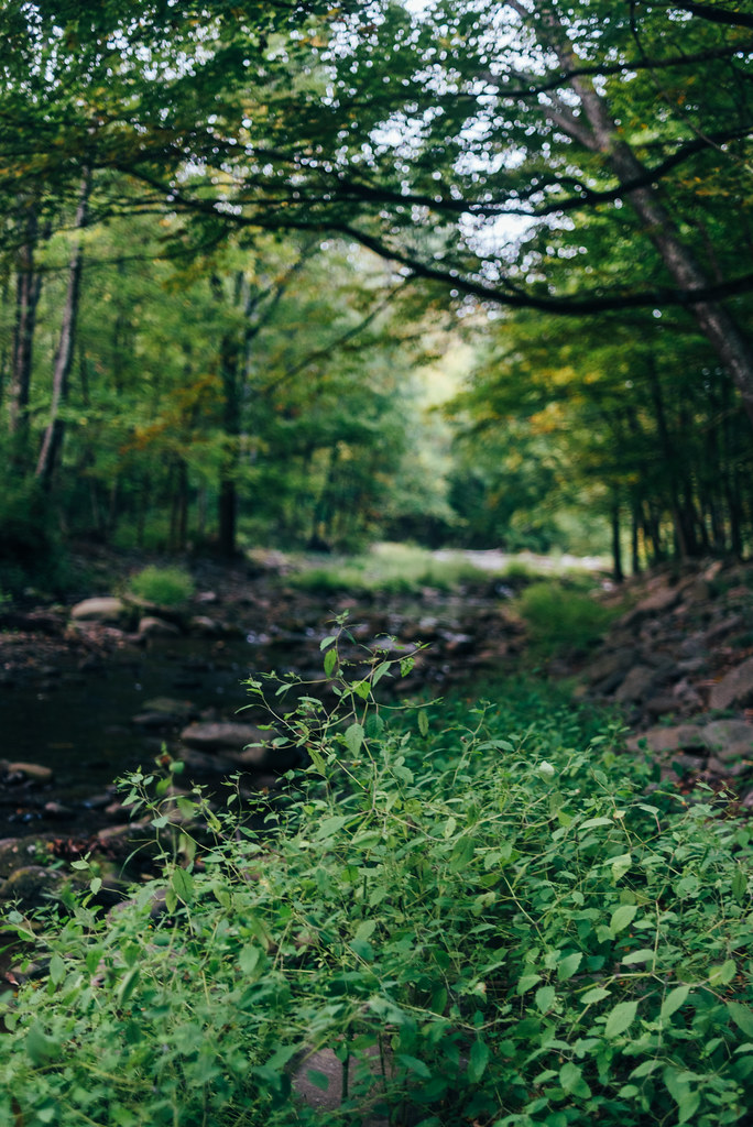
Woodland Valley

Milepost 41

2014 | 291 | 16 | 39 | 07.jpg
2567 Woodland Valley

Hotel in Lexington
DSCF8523.jpg

Down the Woodland Valley-Denning Trail

Ulster County Catskills
103 Hiking uphill on the Seagar Trail
Topographic Map of 62 Barley Rd, Highmount, NY, USA
Find elevation by address:

Places near 62 Barley Rd, Highmount, NY, USA:
207 Birch Creek Rd
Highmount
27 Pine Hill Rd
35 Elm St, Pine Hill, NY, USA
Pine Hill
10 Lake St
3125 Brush Ridge Rd
Belleayre Mountain Ski Center
307 Breezy Hill Rd
1276 Main St
1112 Main St
484 Wagner Ave
925 Main St
50 Oliverea Rd
Big Indian
Erika Drive
565 Oliverea Rd
220 Ny-42
7433 Ny-28
21 NY-42, Shandaken, NY, USA
Recent Searches:
- Elevation of Congressional Dr, Stevensville, MD, USA
- Elevation of Bellview Rd, McLean, VA, USA
- Elevation of Stage Island Rd, Chatham, MA, USA
- Elevation of Shibuya Scramble Crossing, 21 Udagawacho, Shibuya City, Tokyo -, Japan
- Elevation of Jadagoniai, Kaunas District Municipality, Lithuania
- Elevation of Pagonija rock, Kranto 7-oji g. 8"N, Kaunas, Lithuania
- Elevation of Co Rd 87, Jamestown, CO, USA
- Elevation of Tenjo, Cundinamarca, Colombia
- Elevation of Côte-des-Neiges, Montreal, QC H4A 3J6, Canada
- Elevation of Bobcat Dr, Helena, MT, USA