Elevation of Big Indian, NY, USA
Location: United States > New York > Ulster County > Shandaken >
Longitude: -74.443762
Latitude: 42.10259
Elevation: 371m / 1217feet
Barometric Pressure: 97KPa
Elevation Map:
Satellite Map:
Related Photos:

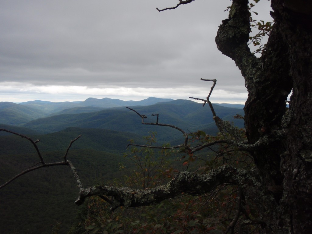
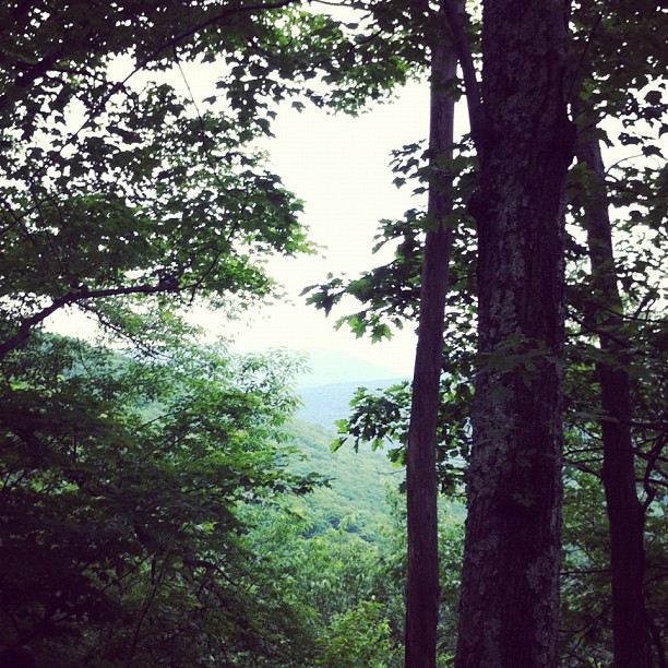
Lookout from Wittenberg Mountain
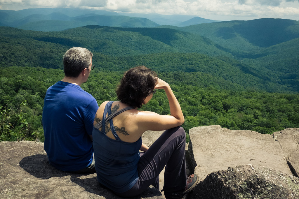
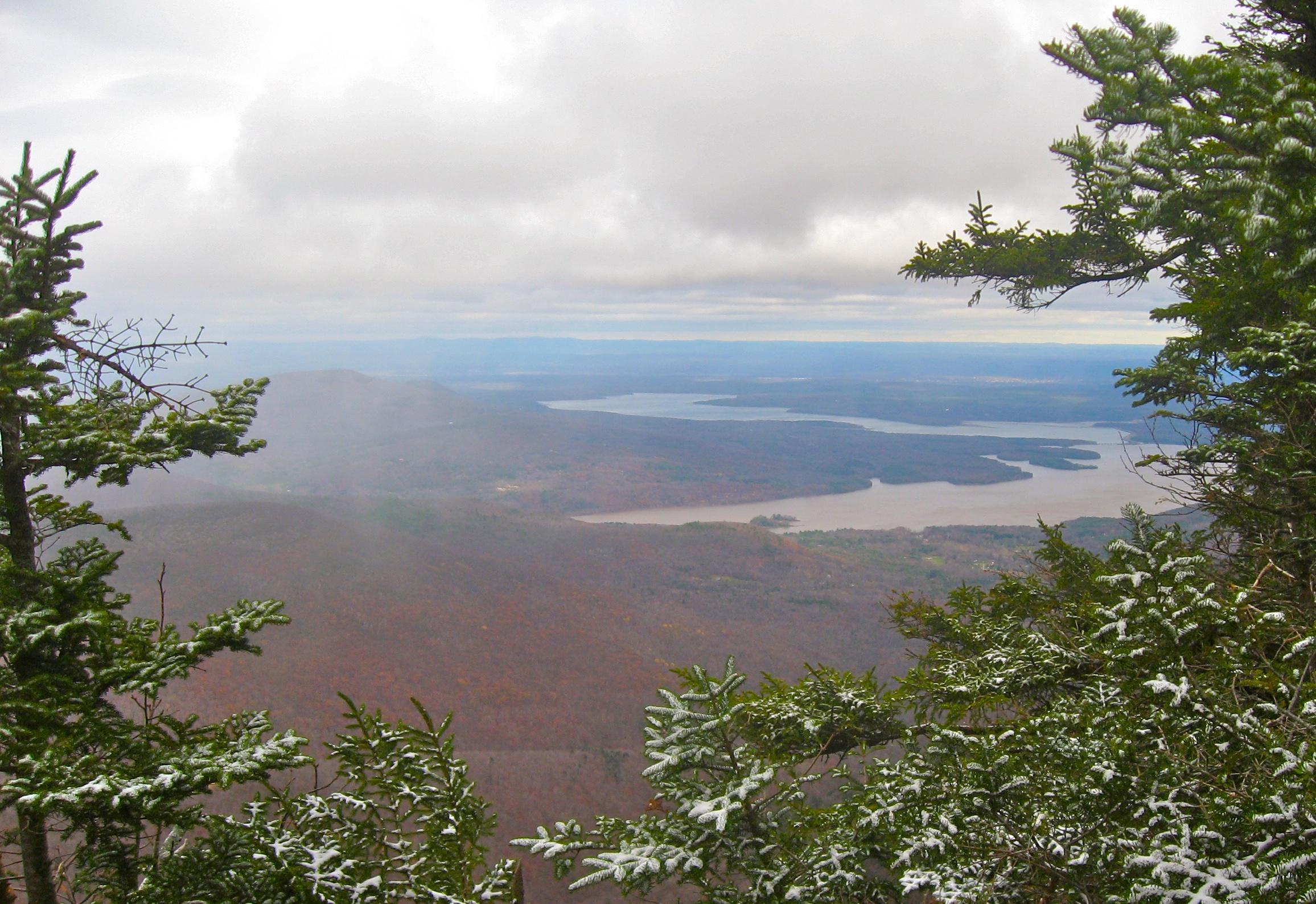
view from panther mountain

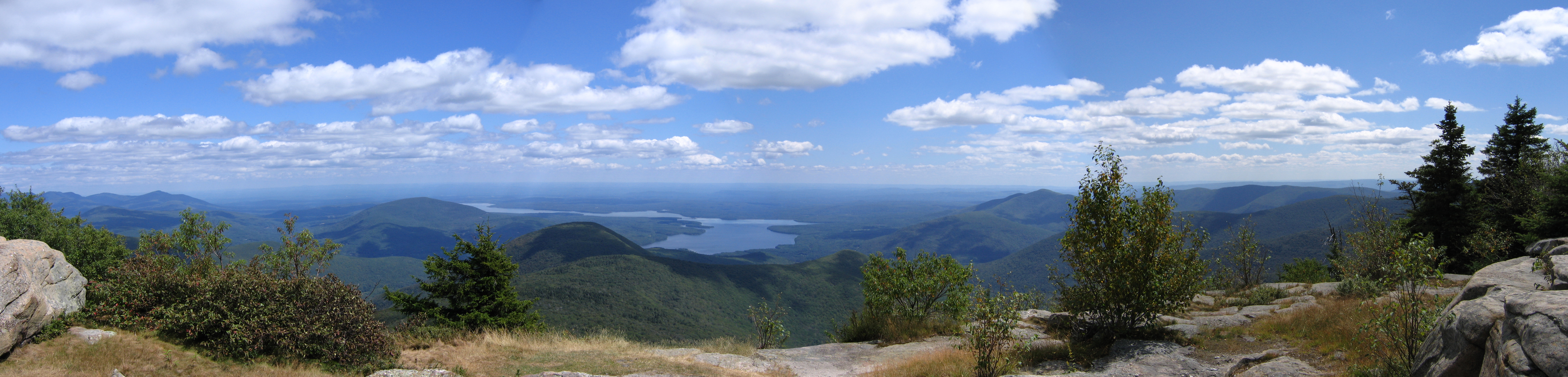
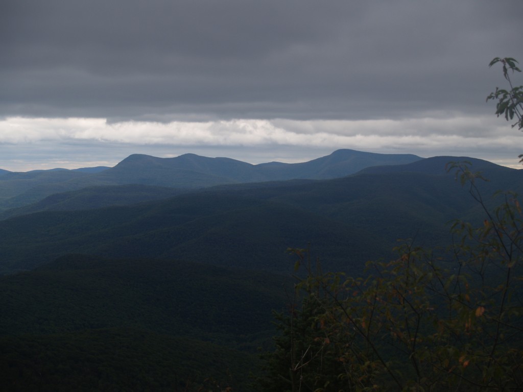
The View
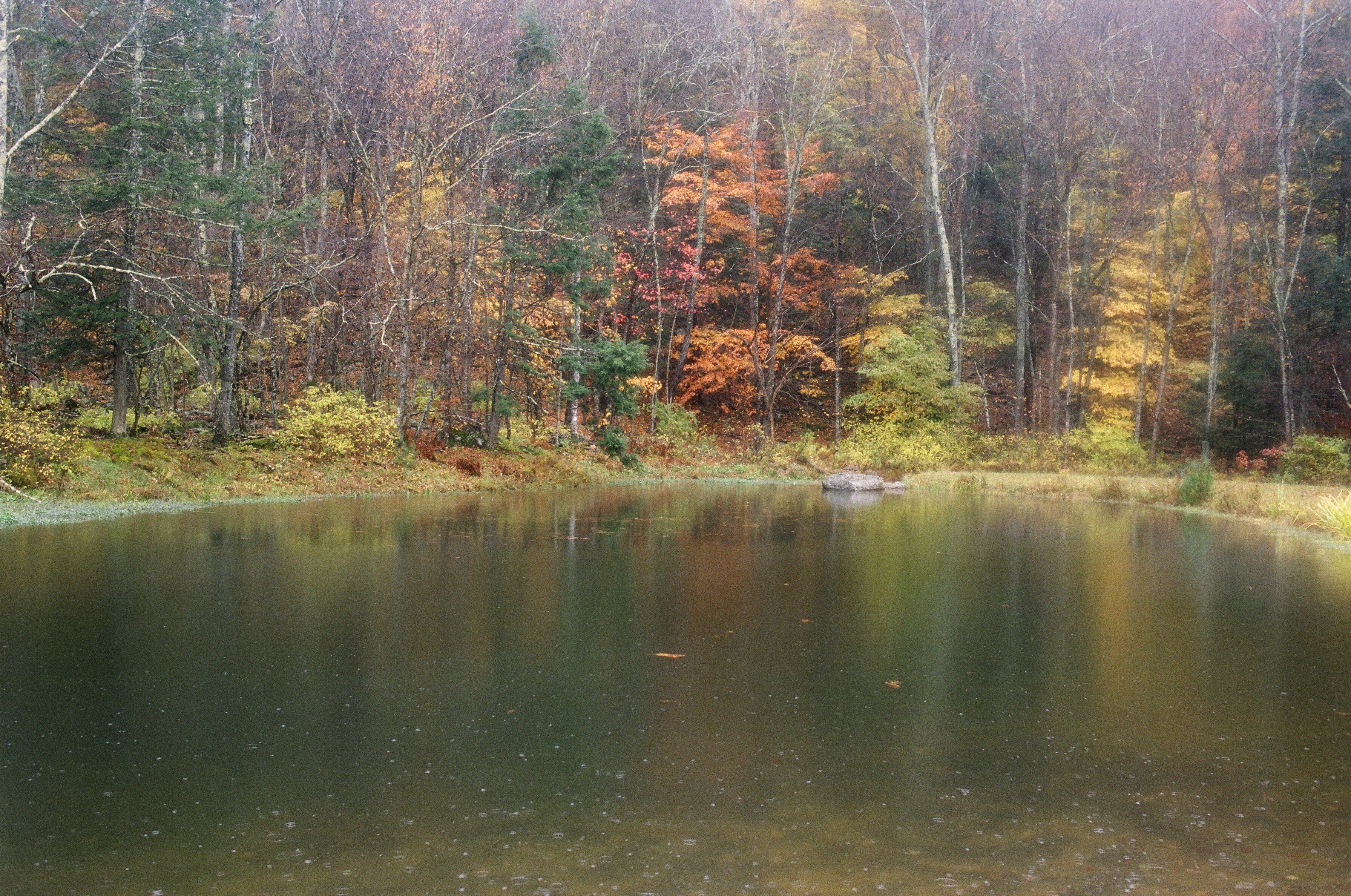
Sky Over Frost Valley **Explored**
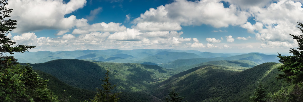
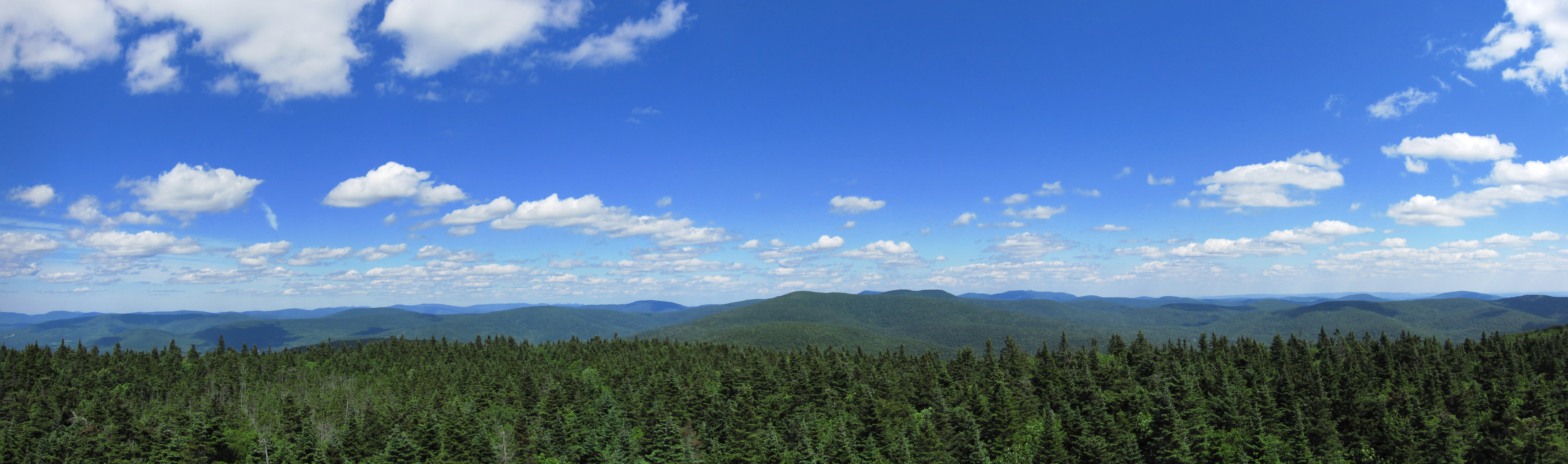
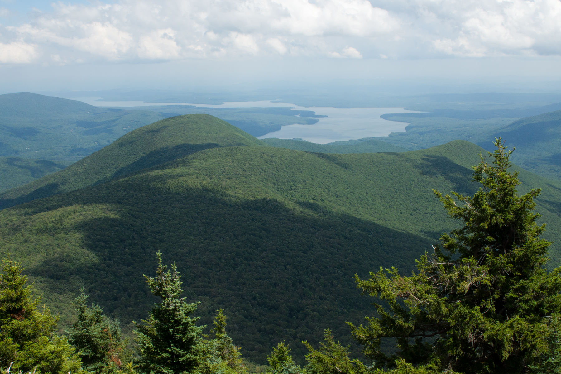
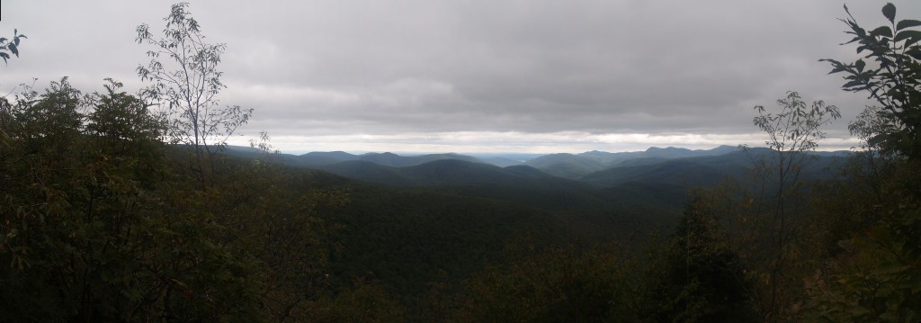
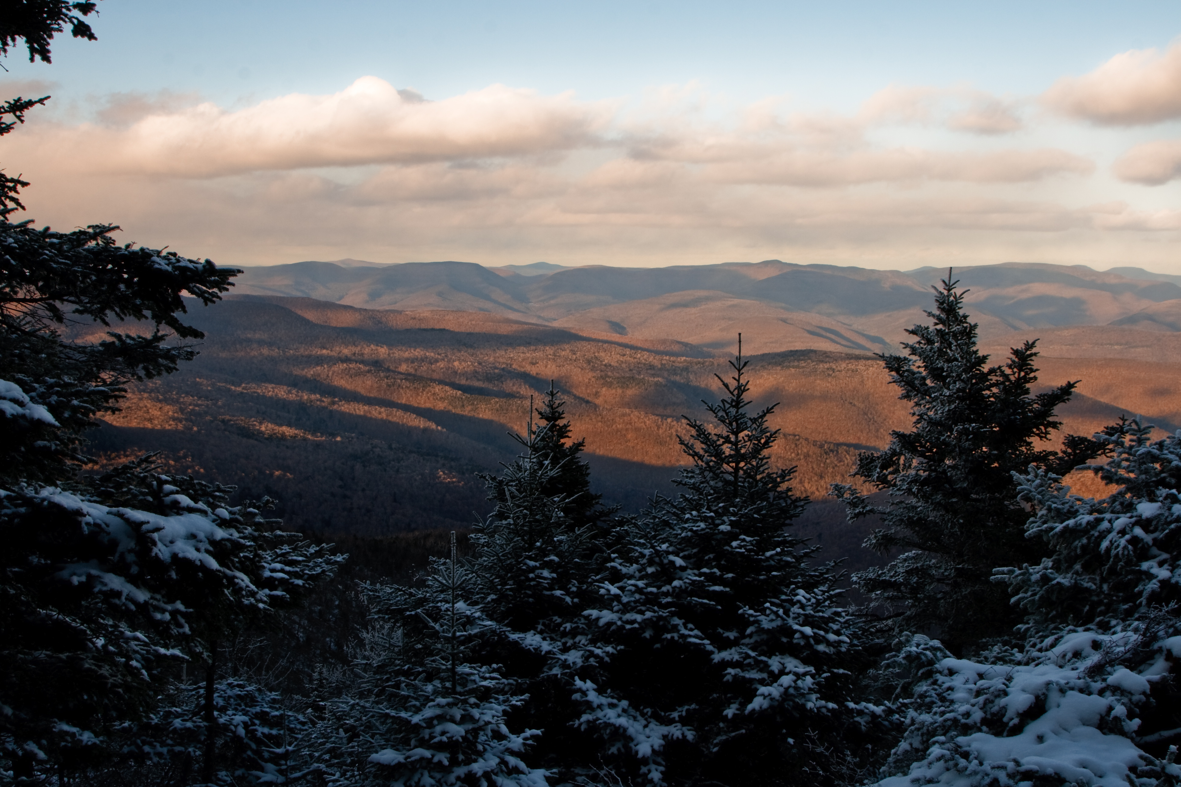
Catskills Panorama
Balsam Lake Mountain
20130629 149
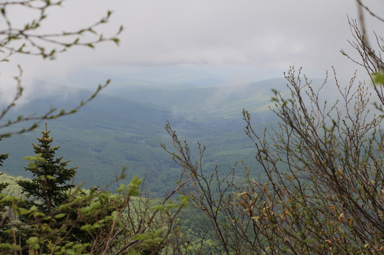
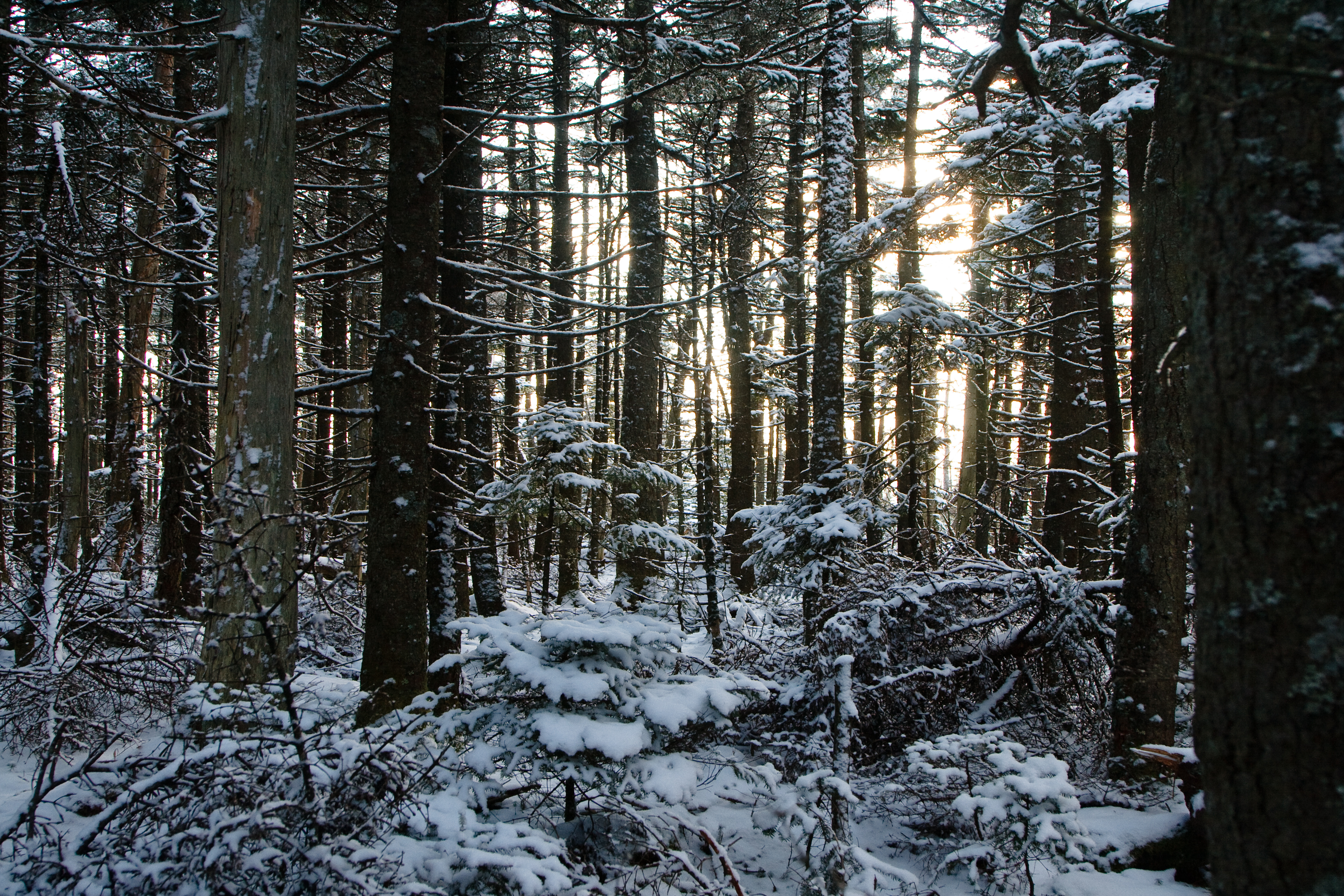
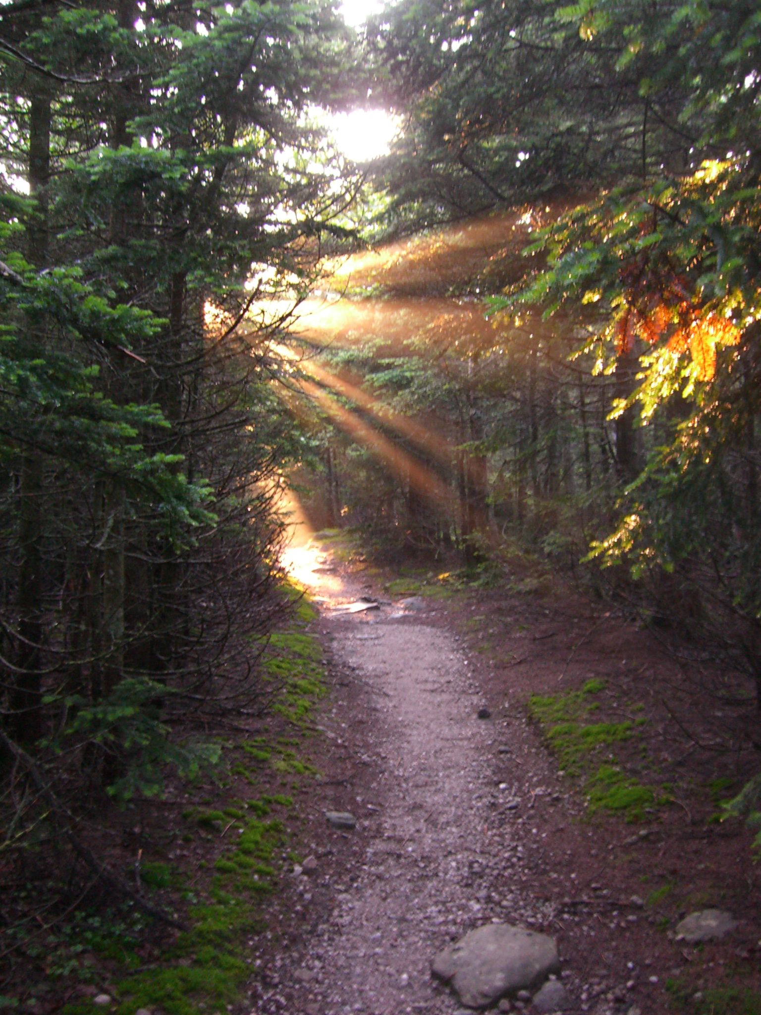
view from within
1st View
View on Way to Table

Vintage View
panther mountain
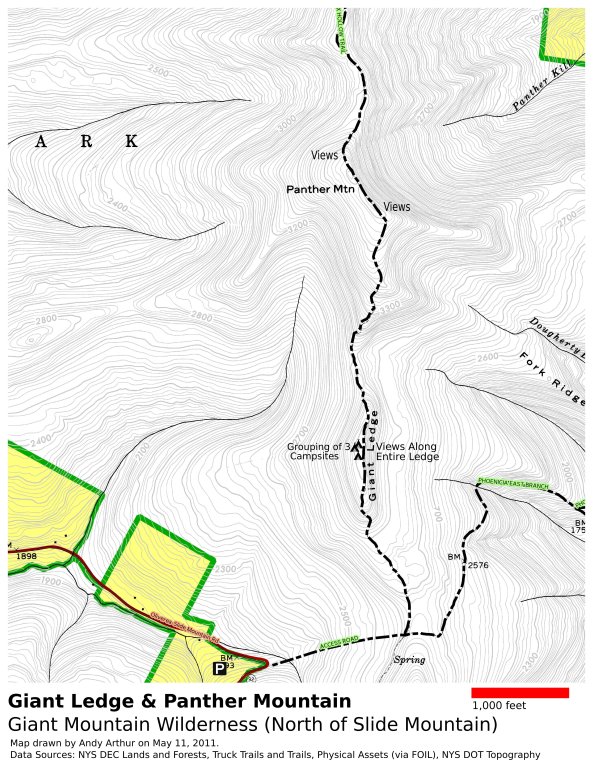
Panther Mountain and Giant Ledge Maps
20130629 043
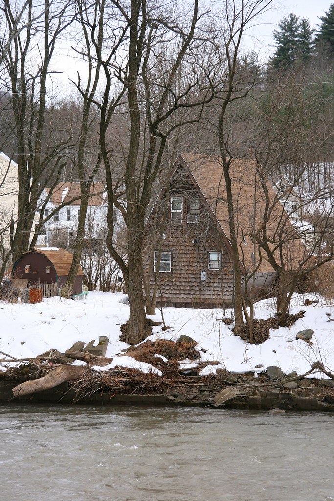
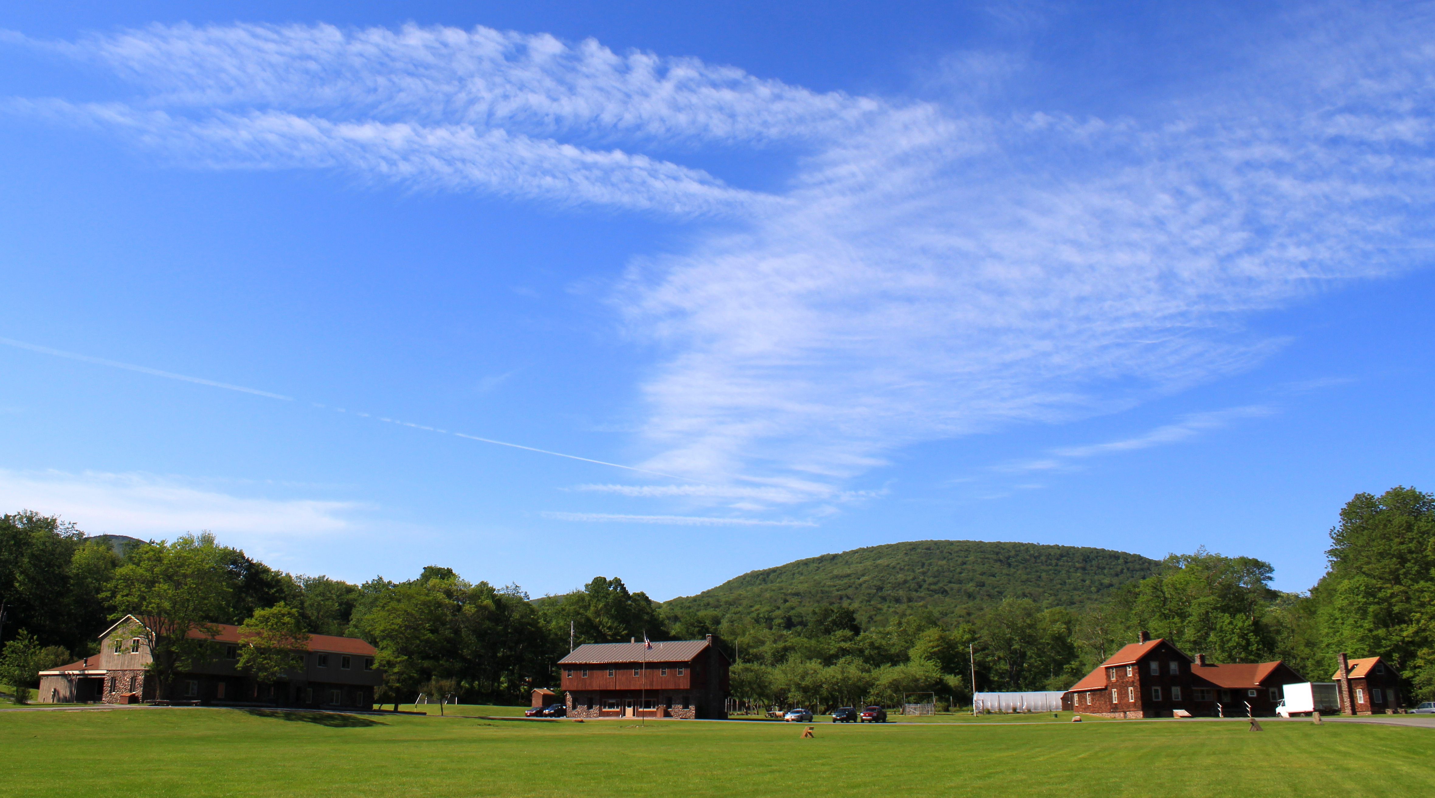
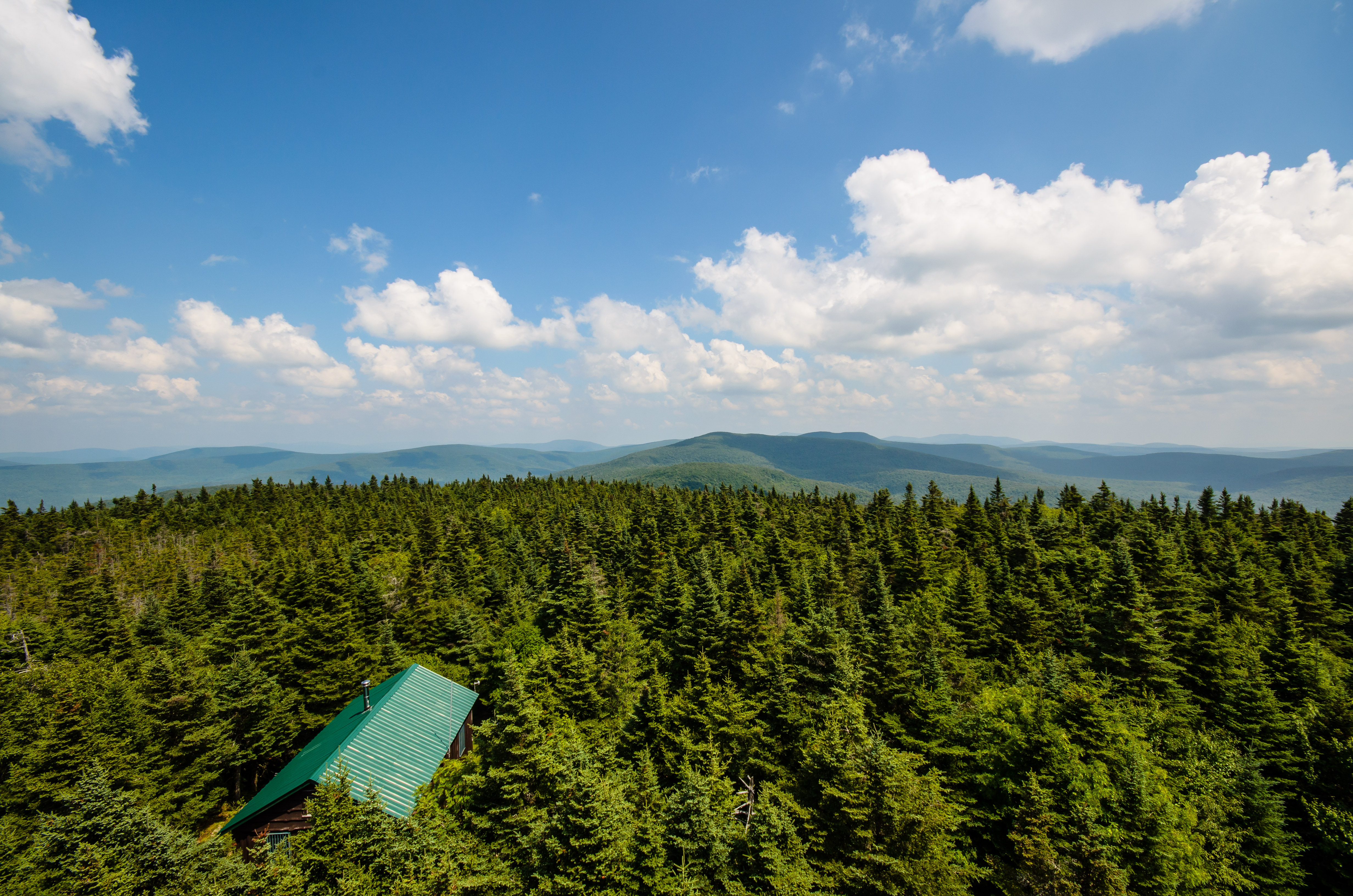
Cabin in the woods
317_Catskills-Bushwhack_Sherrill_view
319_Catskills-Bushwhack_Sherrill_panorama
266 Zoomed-In view back down Dry Brook Road from Doubletop Mountain
322_Catskills-Bushwhack_Sherrill_view
View from the hike. #yttp #latergram
View From Balsam Cap

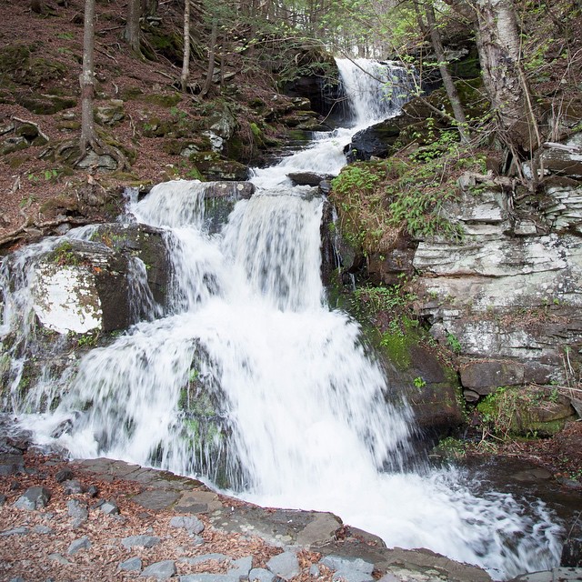
Frost Valley Road, waterfall
Frost Valley Road

DSCF8428.jpg

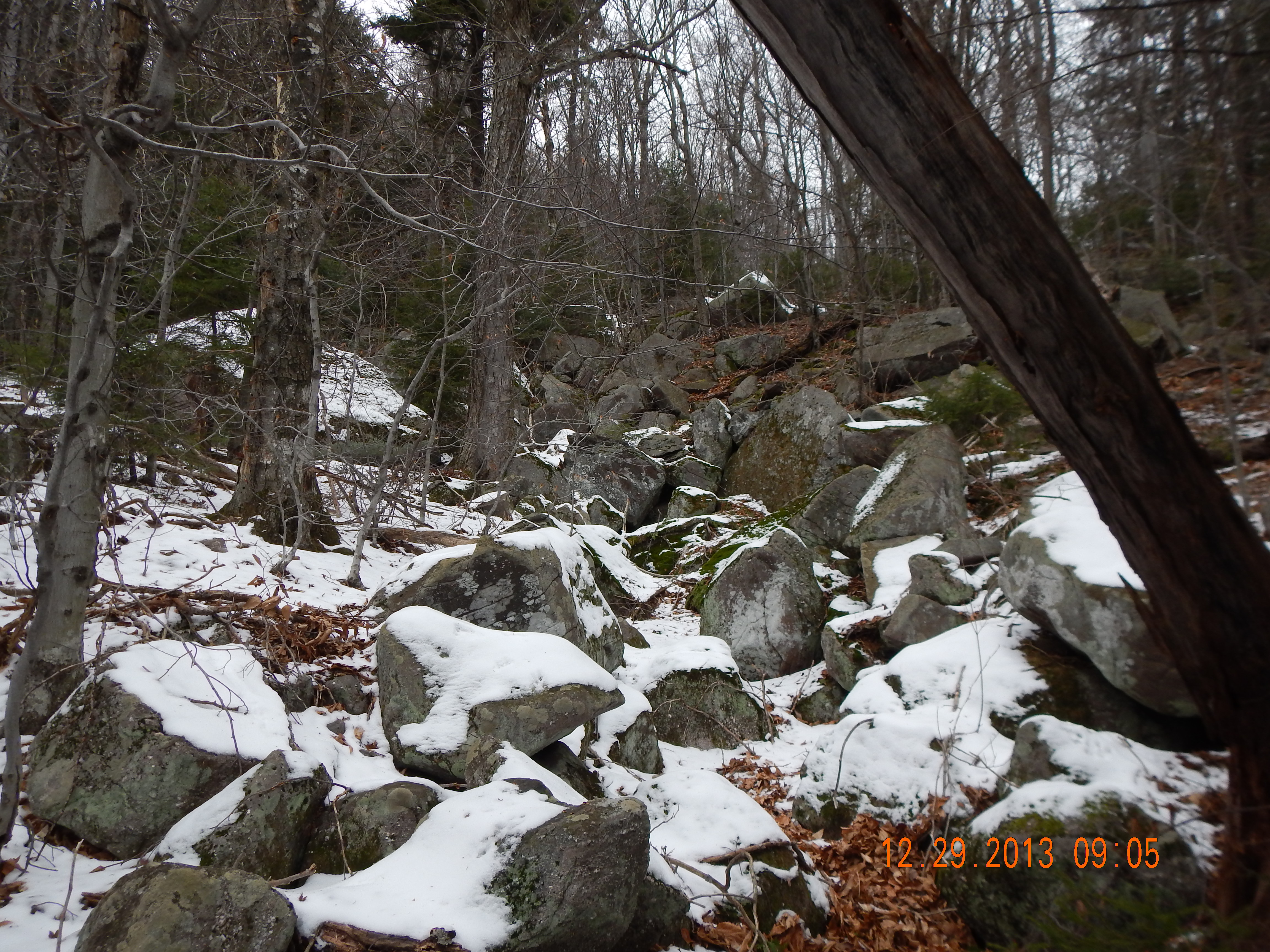
103 Hiking uphill on the Seagar Trail
BlazeCatskills-9713
IMG_2865.JPG (2)

DSCF8697.jpg

Frost Valley Road, waterfall
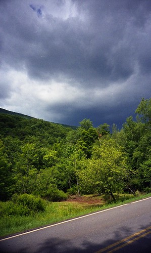
impending storm
Slide 7-13-06 004

Friday & Balsam Cap (19)
Friday & Balsam Cap (2)
And on the way back I found a waterfall. Which was excellent.
Fire Pond
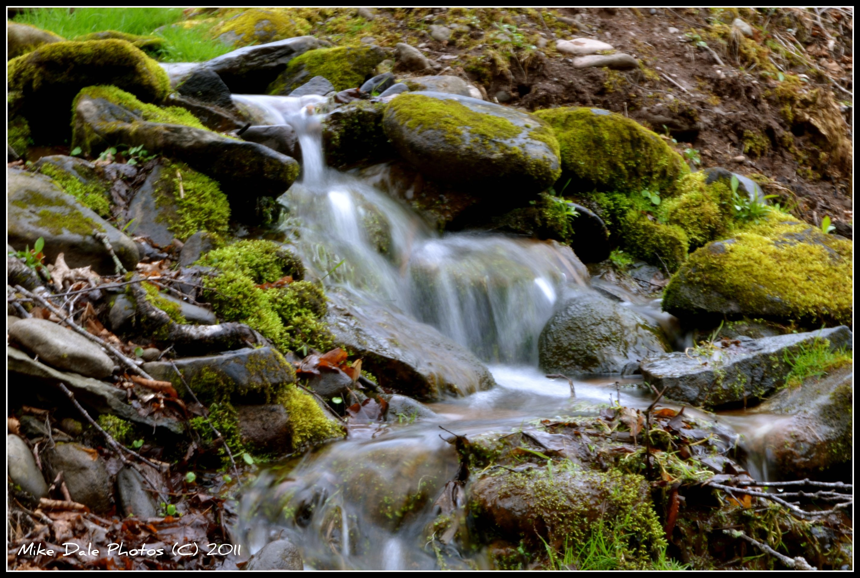
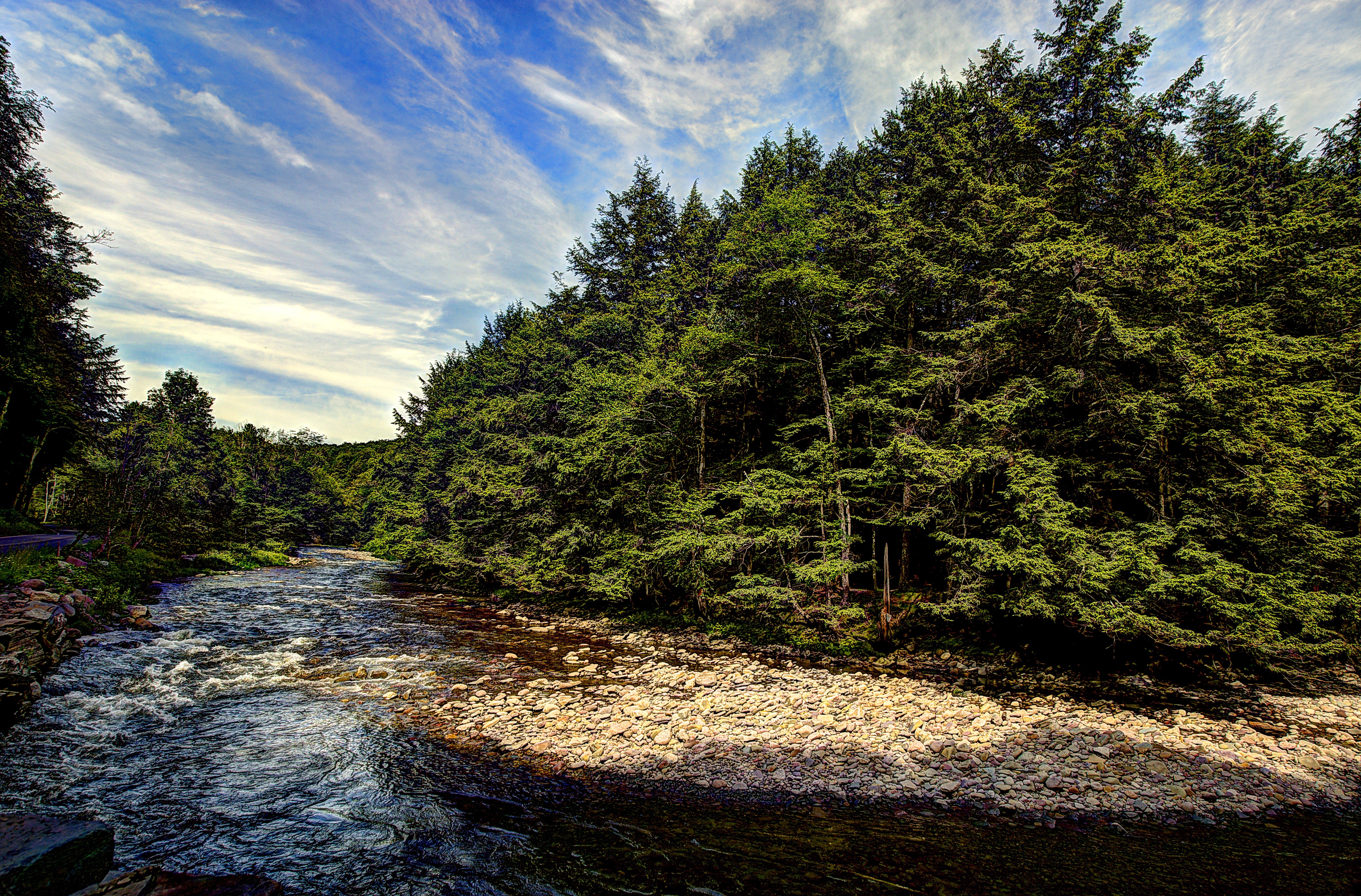
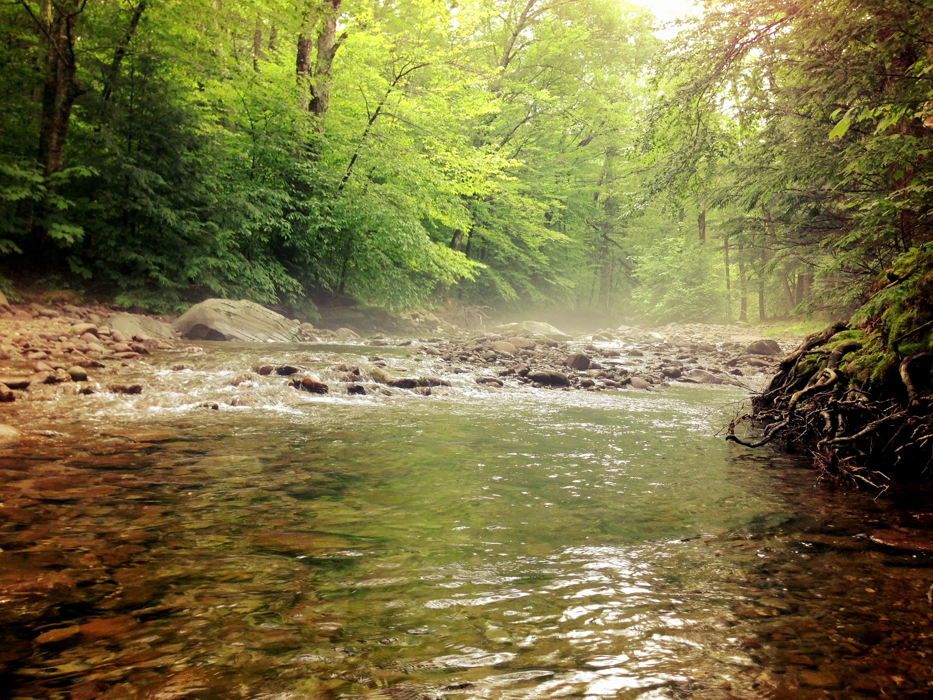
Mountain stream

2014-10-18 15.21.11-1.jpg
BlazeCatskills-9732
Cabin in the woods
Topographic Map of Big Indian, NY, USA
Find elevation by address:

Places in Big Indian, NY, USA:
Places near Big Indian, NY, USA:
50 Oliverea Rd
565 Oliverea Rd
10 Lake St
7433 Ny-28
220 Ny-42
35 Elm St, Pine Hill, NY, USA
Pine Hill
27 Pine Hill Rd
21 NY-42, Shandaken, NY, USA
Shandaken
18 Rudy Frank Rd
207 Birch Creek Rd
Erika Drive
62 Barley Rd
Highmount
Panther Mountain
Belleayre Mountain Ski Center
3125 Brush Ridge Rd
Shandaken
1276 Main St
Recent Searches:
- Elevation of Jalan Senandin, Lutong, Miri, Sarawak, Malaysia
- Elevation of Bilohirs'k
- Elevation of 30 Oak Lawn Dr, Barkhamsted, CT, USA
- Elevation of Luther Road, Luther Rd, Auburn, CA, USA
- Elevation of Unnamed Road, Respublika Severnaya Osetiya — Alaniya, Russia
- Elevation of Verkhny Fiagdon, North Ossetia–Alania Republic, Russia
- Elevation of F. Viola Hiway, San Rafael, Bulacan, Philippines
- Elevation of Herbage Dr, Gulfport, MS, USA
- Elevation of Lilac Cir, Haldimand, ON N3W 2G9, Canada
- Elevation of Harrod Branch Road, Harrod Branch Rd, Kentucky, USA