Elevation of W Whitesbridge Ave, Kerman, CA, USA
Location: United States > California > Fresno County > Kerman >
Longitude: -120.25783
Latitude: 36.723526
Elevation: 50m / 164feet
Barometric Pressure: 101KPa
Elevation Map:
Satellite Map:
Related Photos:

And seek!!!

I Screen My Phone Calls...
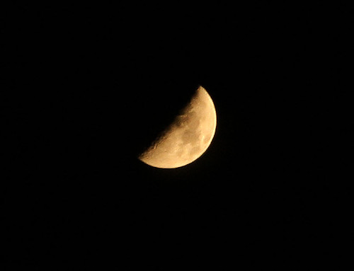
Moon over Tranquillity

Great night shooting

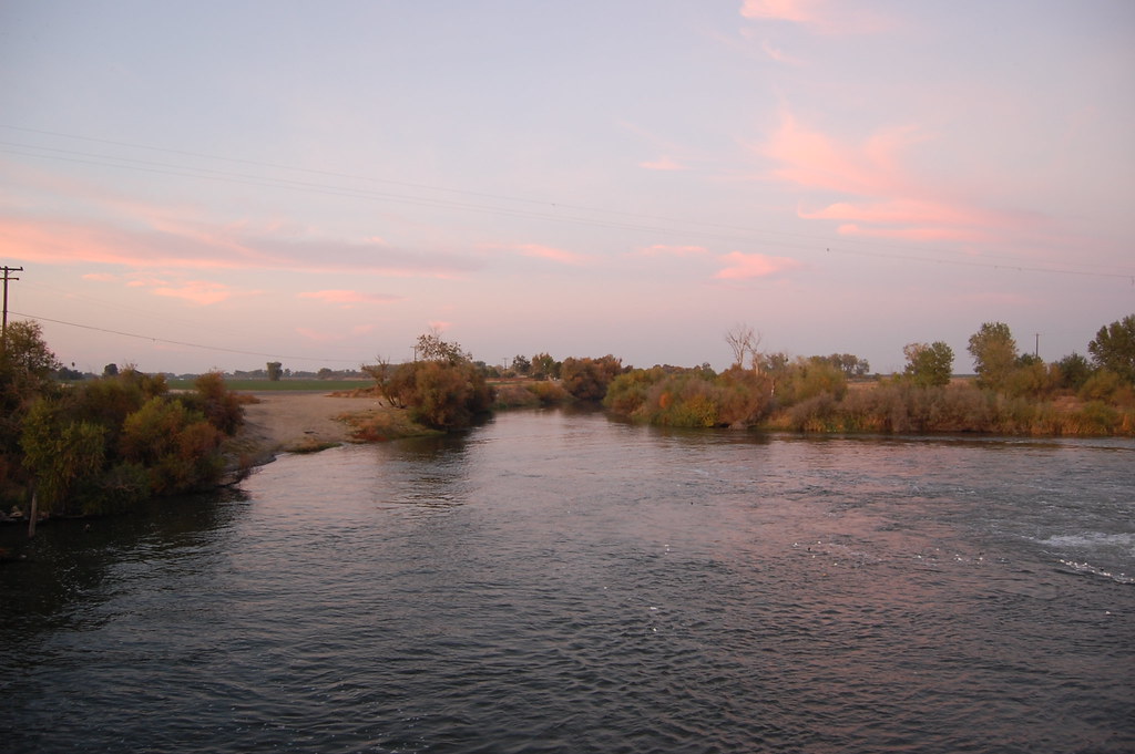
Sunset over California water

It's In the Trees

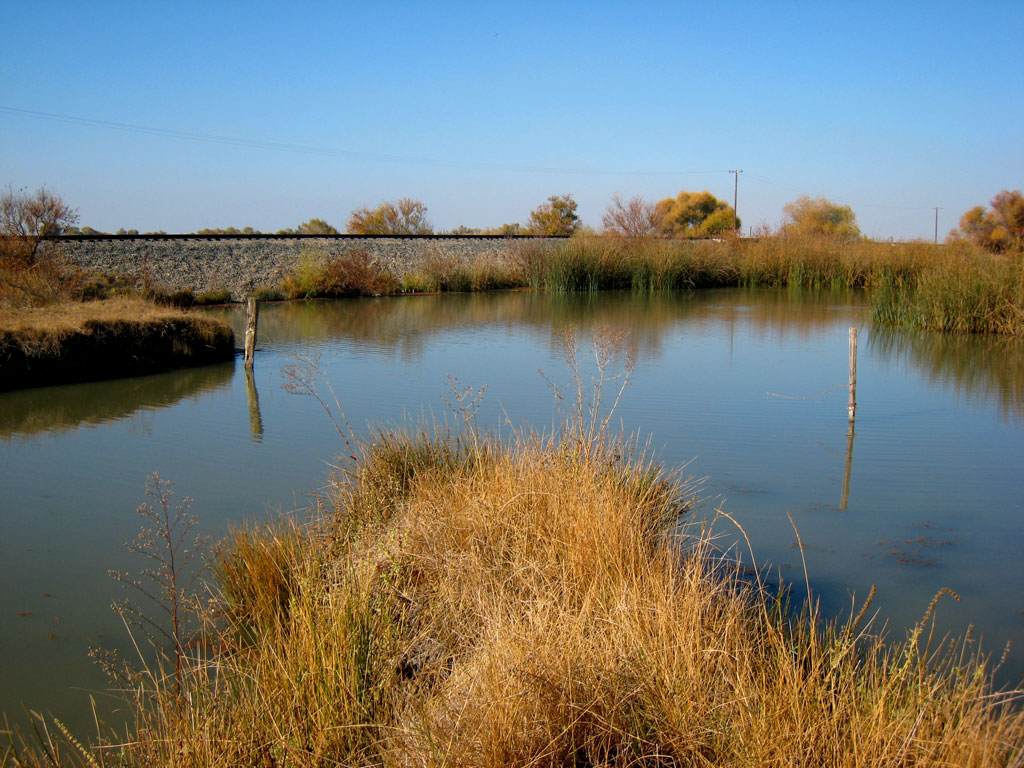
Water Canal, Firebaugh
2007111810.jpg
Mendota Pool Fresno Co 10
2007111816.jpg
200711188.jpg
Topographic Map of W Whitesbridge Ave, Kerman, CA, USA
Find elevation by address:

Places near W Whitesbridge Ave, Kerman, CA, USA:
S James Rd, Kerman, CA, USA
1042 Pucheu St
Pucheu St, Mendota, CA, USA
Mendota
San Joaquin
Main, San Joaquin, CA, USA
Wonderful Orchards, New Columbia Division
Kerman
CA-33, Firebaugh, CA, USA
S Washoe Ave, Mendota, CA, USA
Ave 9, Madera, CA, USA
1350 P St
Firebaugh
10636 Rd 25
Road 26
N Biola Ave, Fresno, CA, USA
W Bullard Ave, Firebaugh, CA, USA
W Whitesbridge Ave, Fresno, CA, USA
543 Sunnydale Ct
2300 Riverview Dr
Recent Searches:
- Elevation of Suffield, AB T0J 2N0, Canada
- Elevation of Coan West, Coon West, Co. Kilkenny, Ireland
- Elevation of 8 Rue Raoul Dufy, Collioure, France
- Elevation of 6 Muir St, Medowie NSW, Australia
- Elevation of Woodland Road, Woodland Rd, Lee, MA, USA
- Elevation of Turner Mill Rd, Talladega, AL, USA
- Elevation of Wylie Ridge Rd, New Cumberland, WV, USA
- Elevation of Dogwood Ln, Millsboro, DE, USA
- Elevation of Paseo Lucido, San Diego, CA, USA
- Elevation of W S, Orem, UT, USA