Elevation of P St, Firebaugh, CA, USA
Location: United States > California > Fresno County > Firebaugh >
Longitude: -120.45284
Latitude: 36.8567763
Elevation: 45m / 148feet
Barometric Pressure: 101KPa
Elevation Map:
Satellite Map:
Related Photos:

rear view

I Screen My Phone Calls...
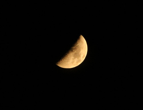
Moon over Tranquillity

Poof!
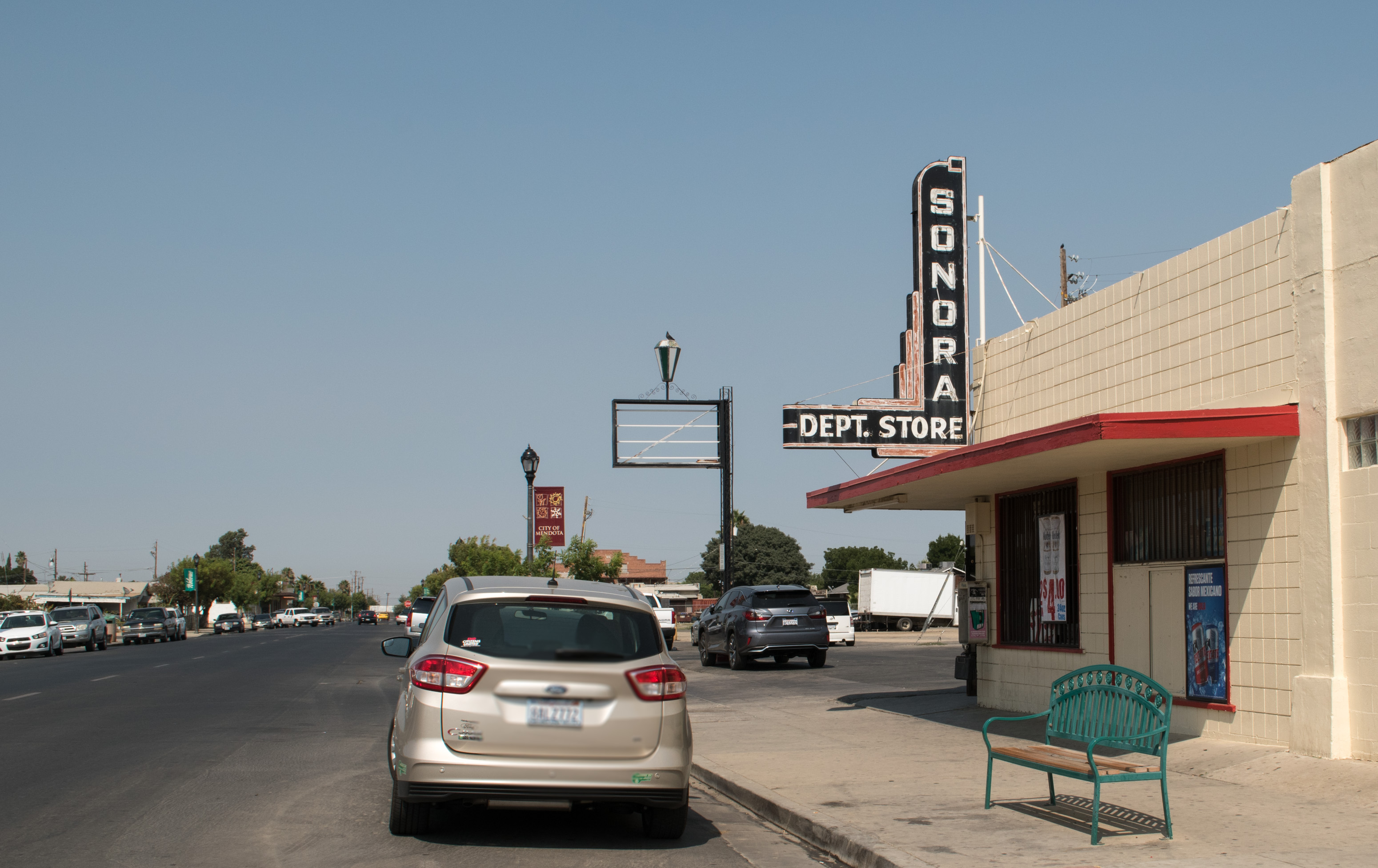
Mendota, CA sign and... (#0095)
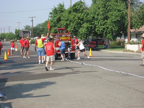
2008 Firebaugh CFMA Muster

20180909_123951-01
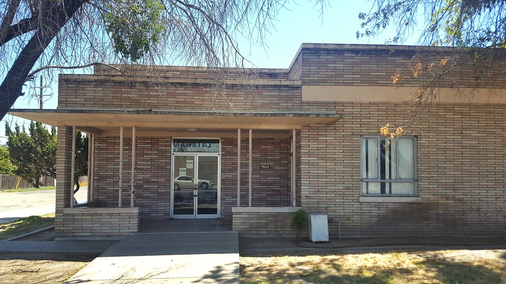
20180909_130339-01
Topographic Map of P St, Firebaugh, CA, USA
Find elevation by address:

Places near P St, Firebaugh, CA, USA:
Firebaugh
CA-33, Firebaugh, CA, USA
W Bullard Ave, Firebaugh, CA, USA
Wonderful Orchards, New Columbia Division
N Dos Palos Rd, Dos Palos, CA, USA
Mendota
Pucheu St, Mendota, CA, USA
1042 Pucheu St
Brannon Ave, Firebaugh, CA, USA
S Washoe Ave, Mendota, CA, USA
W Belmont Ave, Firebaugh, CA, USA
1902 Lynn Ave
20330 Lincoln Rd
Ave 18 1/2, Chowchilla, CA, USA
Dos Palos
6th St, South Dos Palos, CA, USA
South Dos Palos
W Whitesbridge Ave, Kerman, CA, USA
16816 Lexington Ave
Azusa Ave, Dos Palos, CA, USA
Recent Searches:
- Elevation of Blattner Rd, Philo, CA, USA
- Elevation of Polzela, Slovenia
- Elevation of Gorod Kislovodsk, Stavropol Krai, Russia
- Elevation of Kislovodsk, Stavropol Krai, Russia
- Elevation of Eagle Stone Drive, Eagle Stone Dr, The Preserve at Corkscrew, FL, USA
- Elevation of Formby Ct, Myrtle Beach, SC, USA
- Elevation of Hobbyhorse Ct, Dover, DE, USA
- Elevation of Horseshoe Ln, Dahlonega, GA, USA
- Elevation of Village Point Dr, Daphne, AL, USA
- Elevation map of Kabardino-Balkarian Republic, Russia