Elevation of Main, San Joaquin, CA, USA
Location: United States > California > Fresno County > San Joaquin >
Longitude: -120.18795
Latitude: 36.60678
Elevation: 53m / 174feet
Barometric Pressure: 101KPa
Elevation Map:
Satellite Map:
Related Photos:
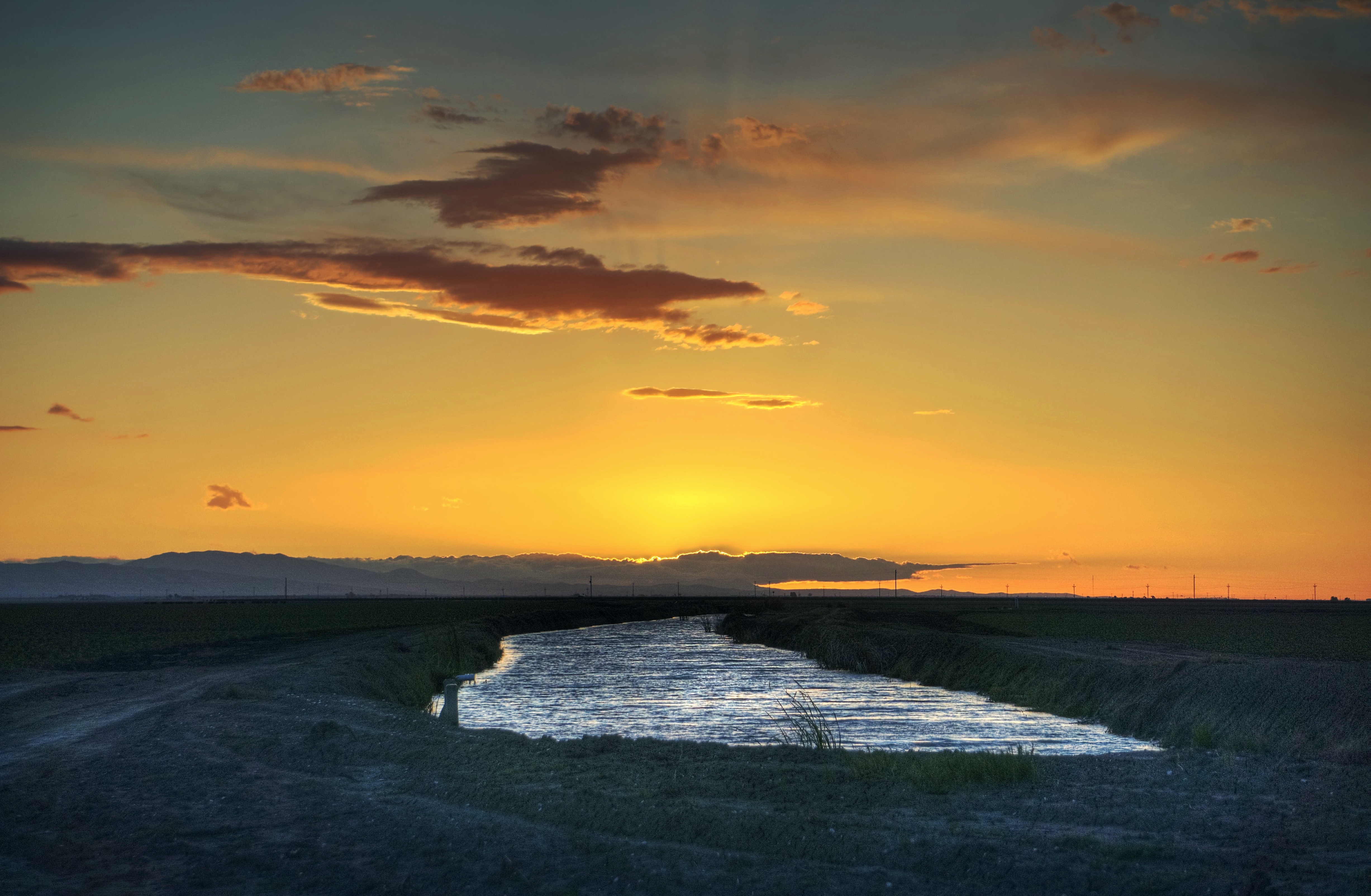
Sunset over California water
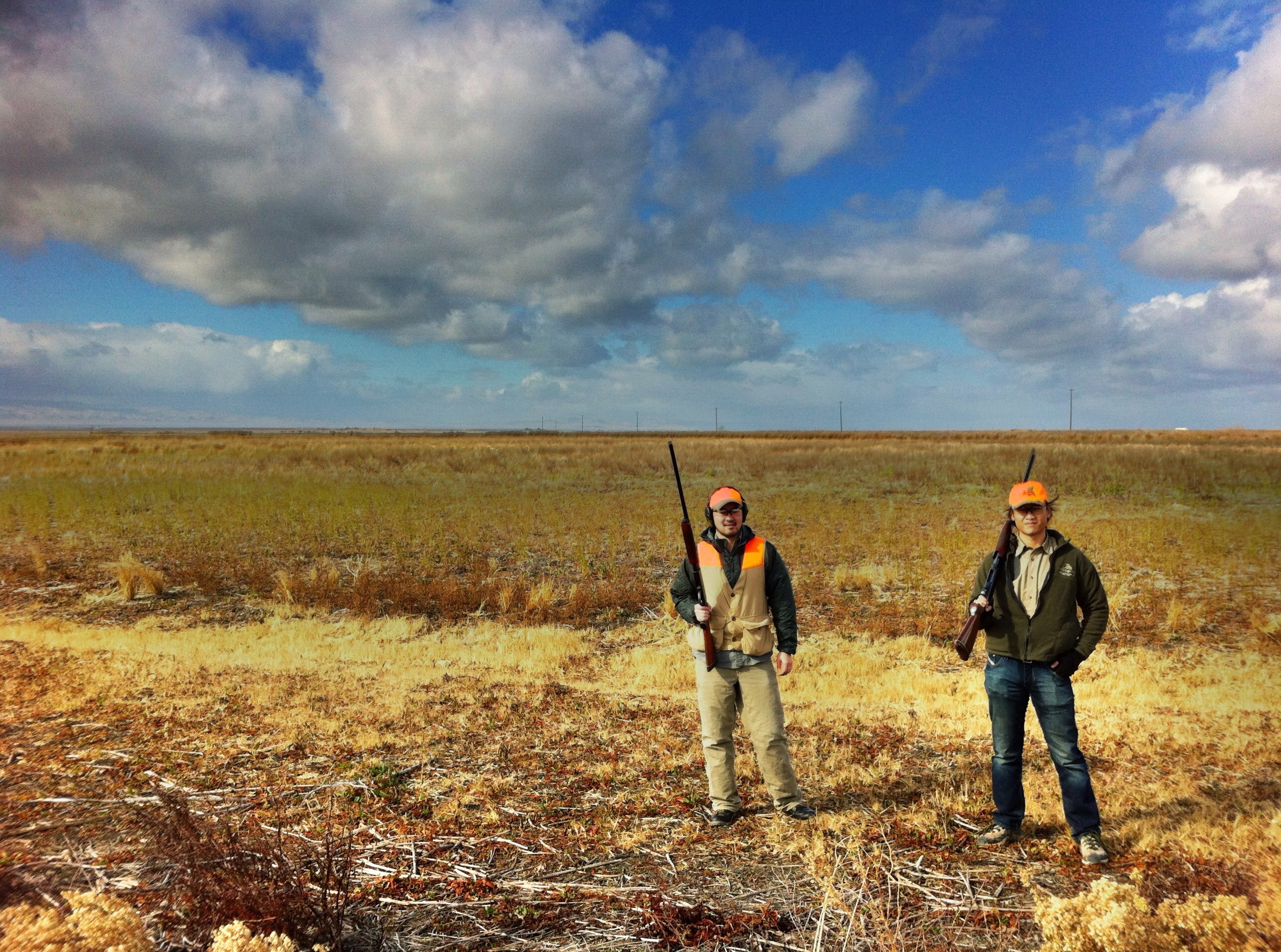
andy and lester

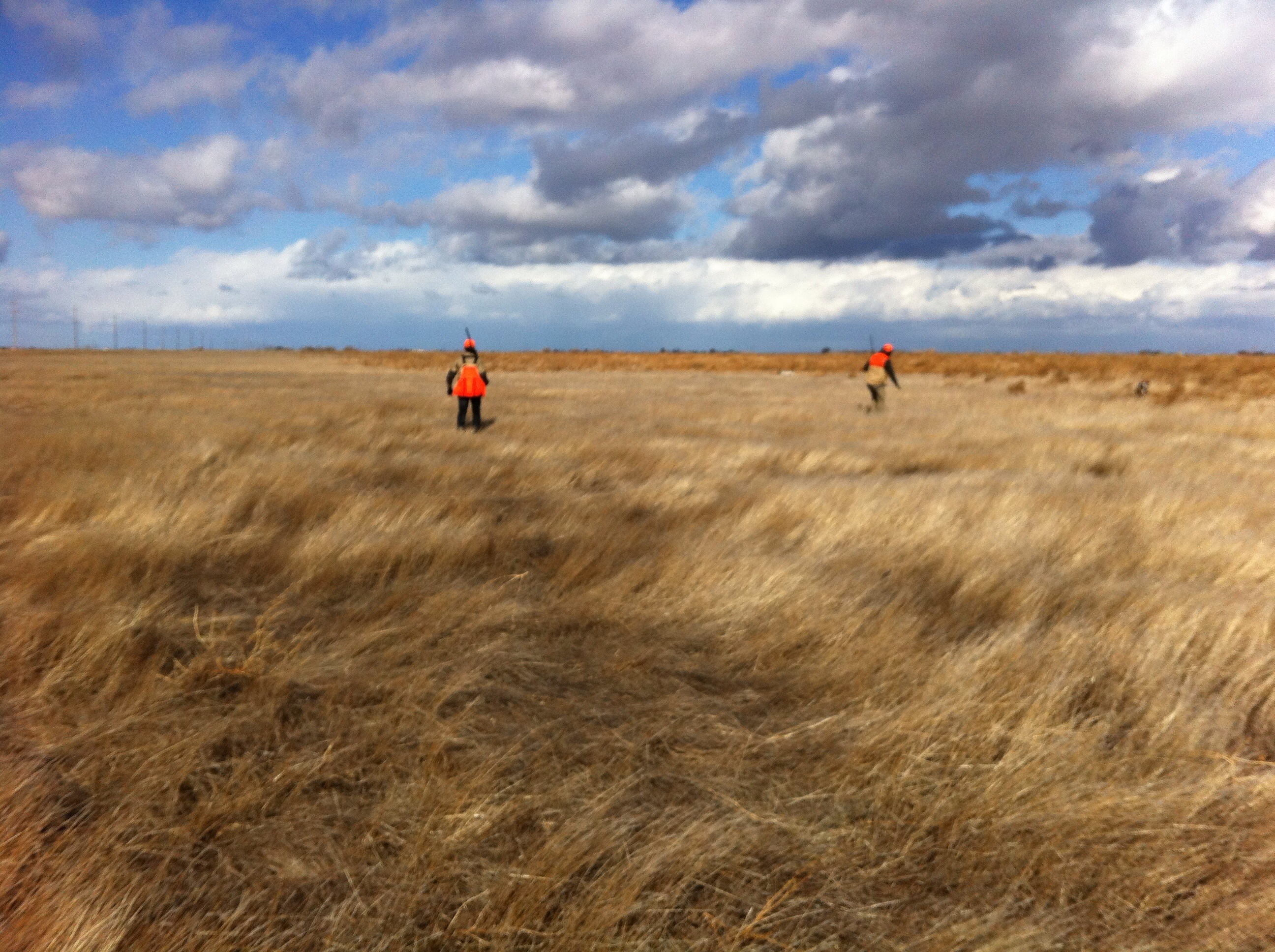
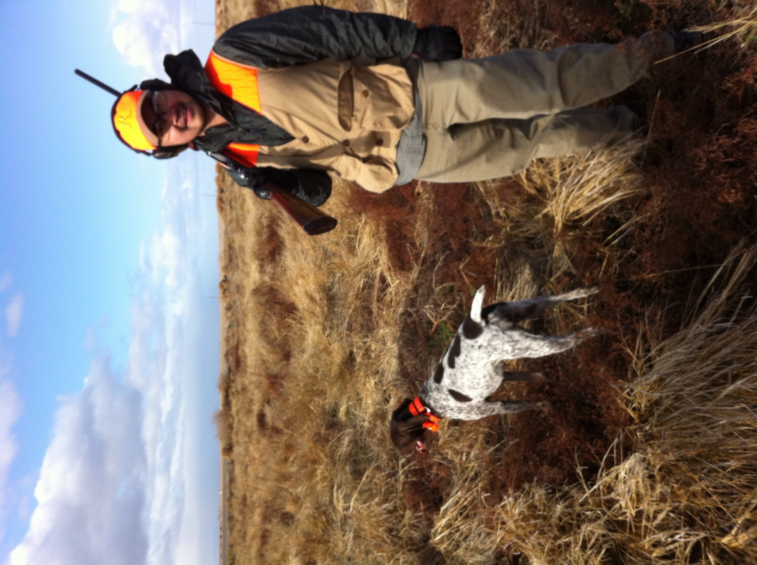
in the field
2007111810.jpg
working the field
2007111816.jpg
200711188.jpg
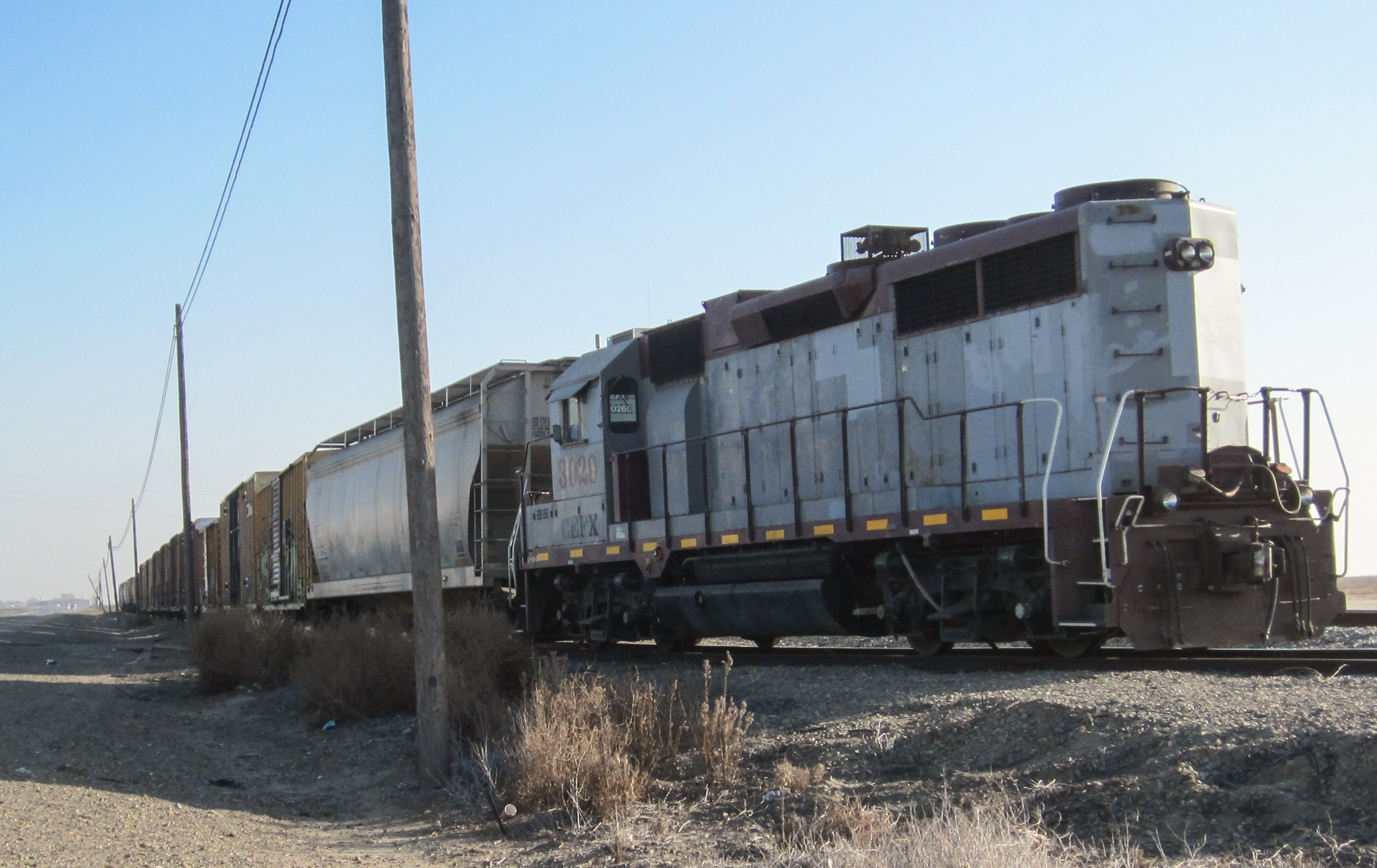
San Joaquin, CA railroad (0506)
Hello LA!

Hello LA!

odd Buteo sp.
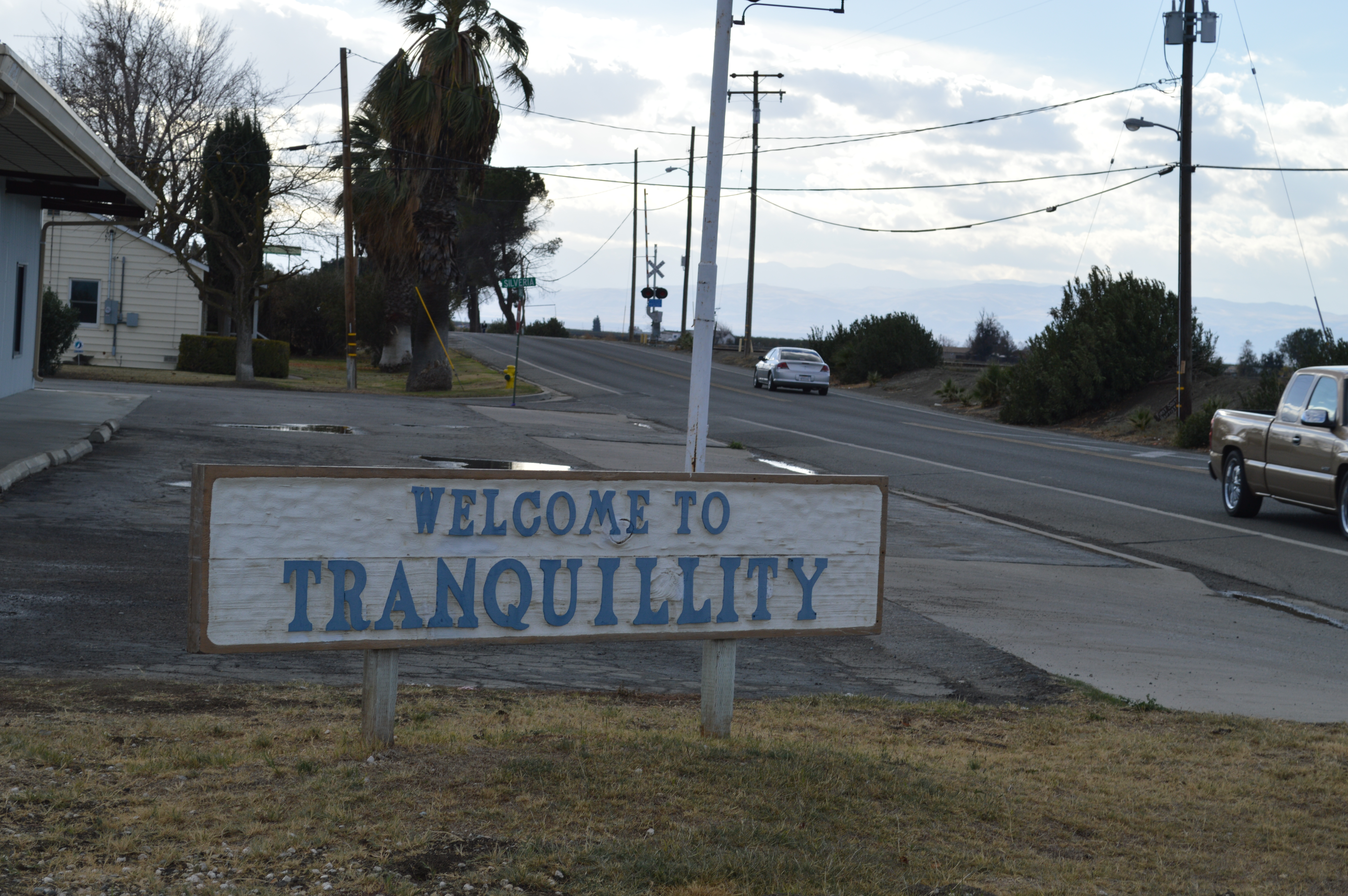
Tranquillity sign

High Voltage!
San Joaquin Valley RR Helm CA (2232)

Tranquility CA (2229)

walking down the road
andy and abby

muddy rover

3 shotguns
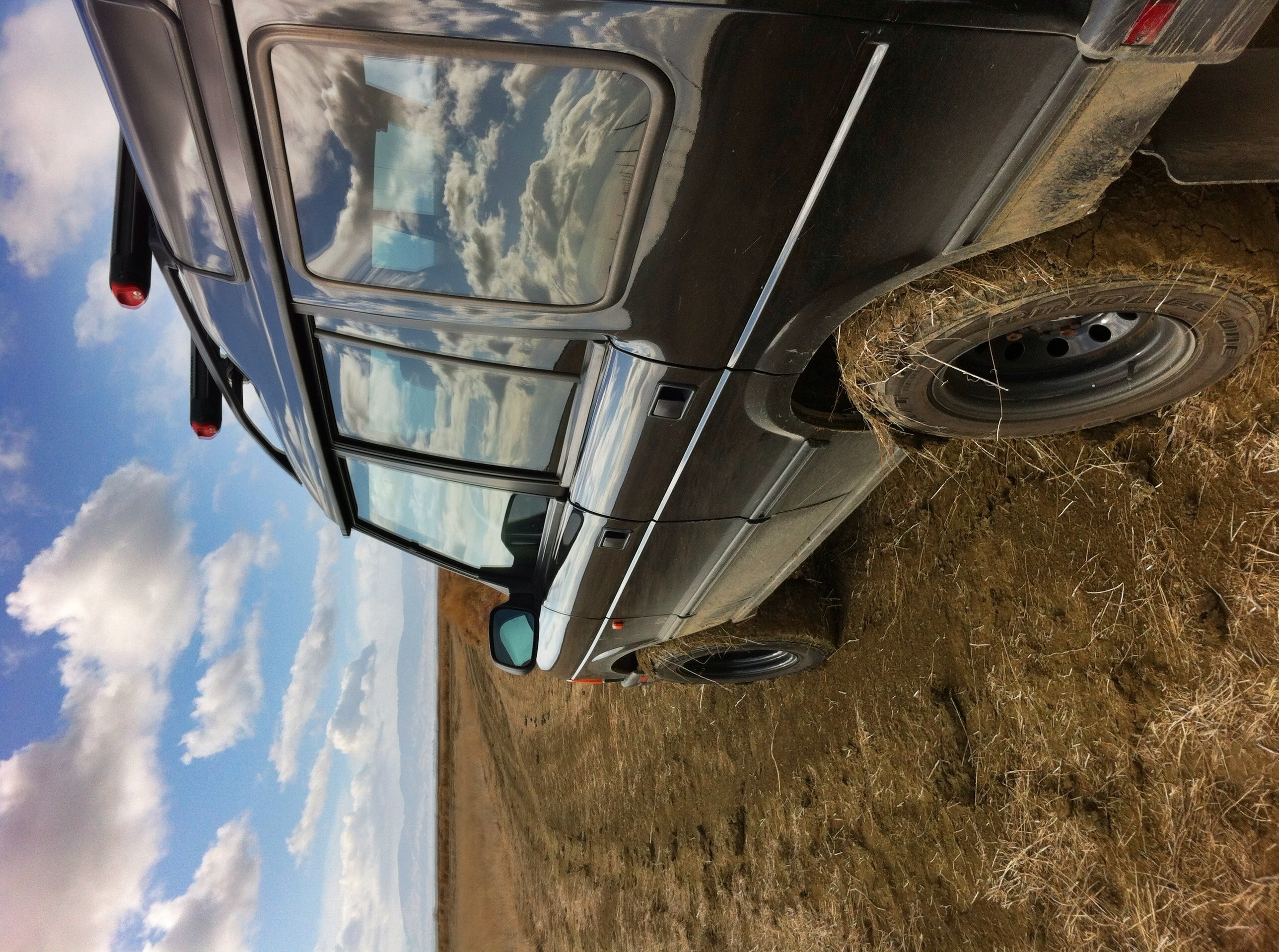
my rover in the mud

beautiful day in helm
Topographic Map of Main, San Joaquin, CA, USA
Find elevation by address:

Places near Main, San Joaquin, CA, USA:
San Joaquin
S James Rd, Kerman, CA, USA
W Whitesbridge Ave, Kerman, CA, USA
Kerman
W Whitesbridge Ave, Fresno, CA, USA
1042 Pucheu St
Pucheu St, Mendota, CA, USA
Mendota
N Biola Ave, Fresno, CA, USA
S Washoe Ave, Mendota, CA, USA
Ave 9, Madera, CA, USA
Wonderful Orchards, New Columbia Division
Road 26
W Barstow Ave, Fresno, CA, USA
10636 Rd 25
CA-33, Firebaugh, CA, USA
3636 N Grantland Ave
West Fresno
5607 W Indianapolis Ave
N Van Buren Ave, Fresno, CA, USA
Recent Searches:
- Elevation of Sadovaya Ulitsa, 20, Rezh, Sverdlovskaya oblast', Russia
- Elevation of Ulitsa Kalinina, 79, Rezh, Sverdlovskaya oblast', Russia
- Elevation of 72-31 Metropolitan Ave, Middle Village, NY, USA
- Elevation of 76 Metropolitan Ave, Brooklyn, NY, USA
- Elevation of Alisal Rd, Solvang, CA, USA
- Elevation of Vista Blvd, Sparks, NV, USA
- Elevation of 15th Ave SE, St. Petersburg, FL, USA
- Elevation of Beall Road, Beall Rd, Florida, USA
- Elevation of Leguwa, Nepal
- Elevation of County Rd, Enterprise, AL, USA