Elevation of W Slavin Rd, Yakima, WA, USA
Location: United States > Washington > Yakima County > Yakima >
Longitude: -120.83837
Latitude: 46.5434539
Elevation: 666m / 2185feet
Barometric Pressure: 94KPa
Elevation Map:
Satellite Map:
Related Photos:
Welcome to Snow Mt Ranch

Downy woodpecker, male
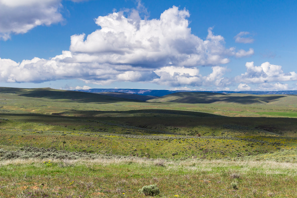
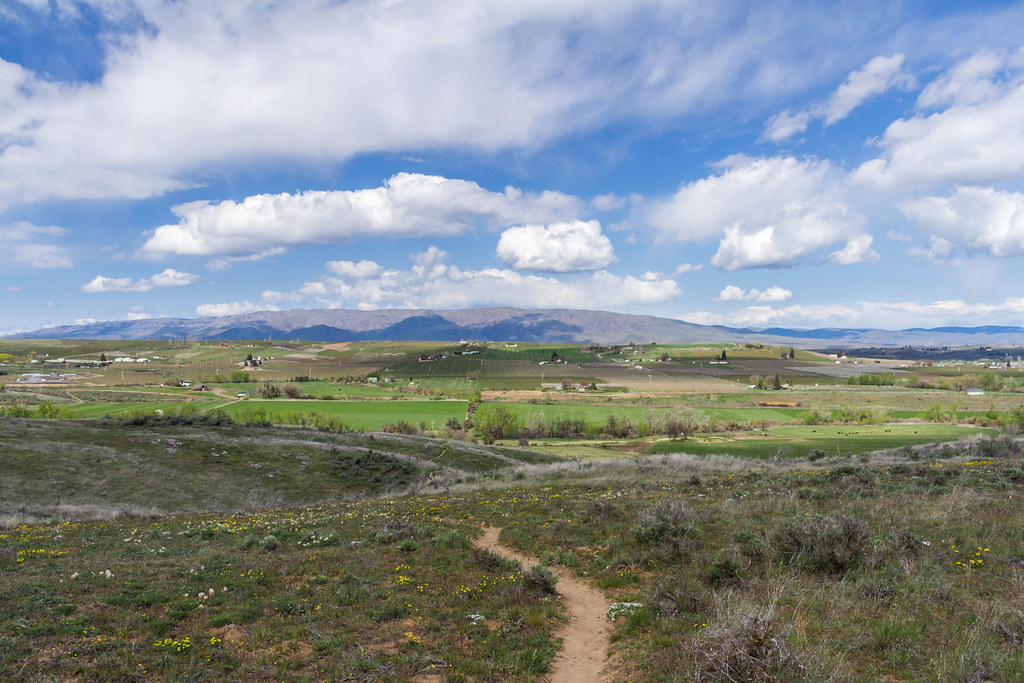
View ascending Cowiche Mountain

Ruby-crowned kinglet, Regulus calendula
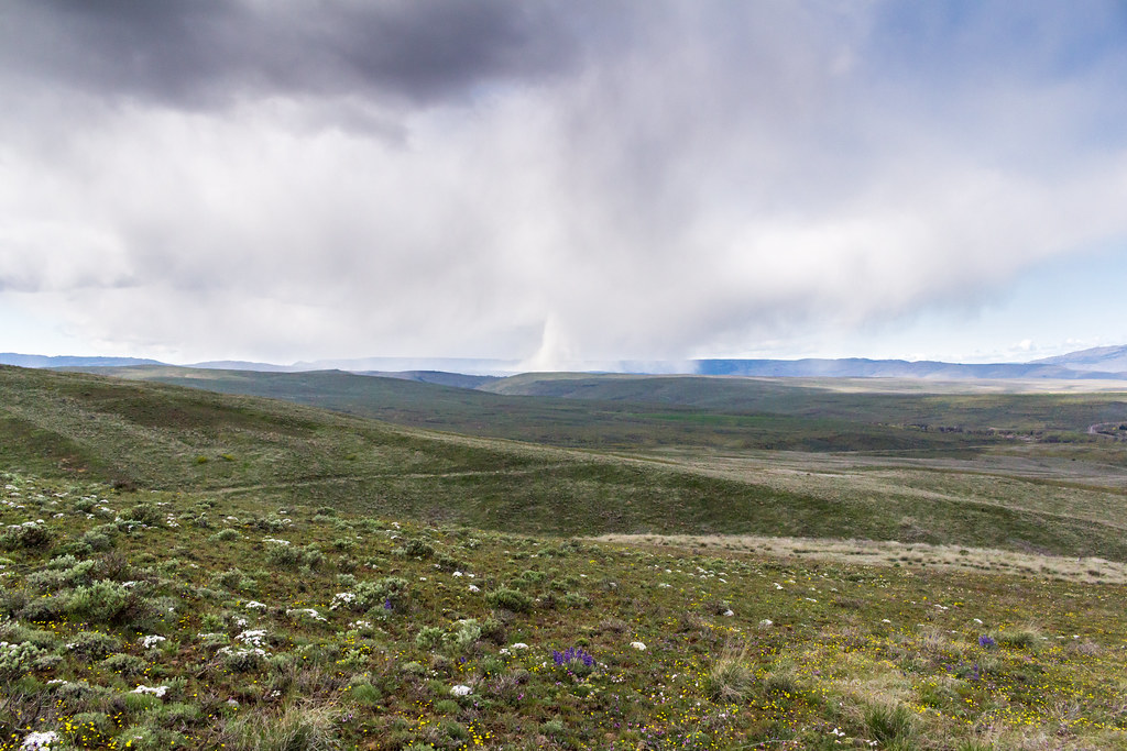
Fire-From-Cowiche City
IMG_5754.jpg
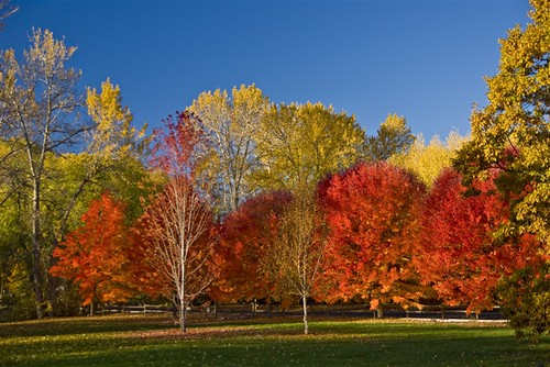
Autumn Splendour

Cowiche, WA

RoadTrip 201206300003
IMG_5711.jpg
IMG_5900.jpg
US Northwest
IMG_5868.jpg
IMG_5798.jpg
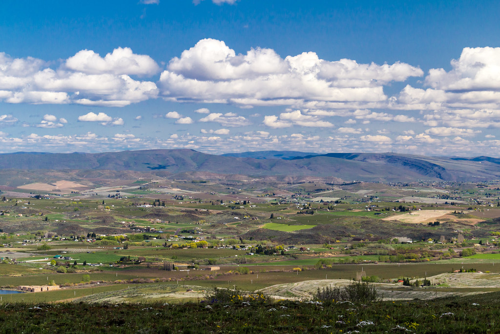
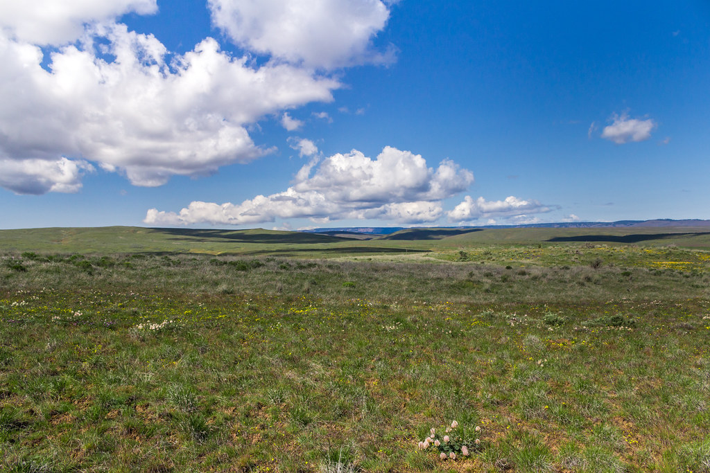
Cowiche Mountain near Yakima
IMG_5747.jpg
IMG_5692.jpg
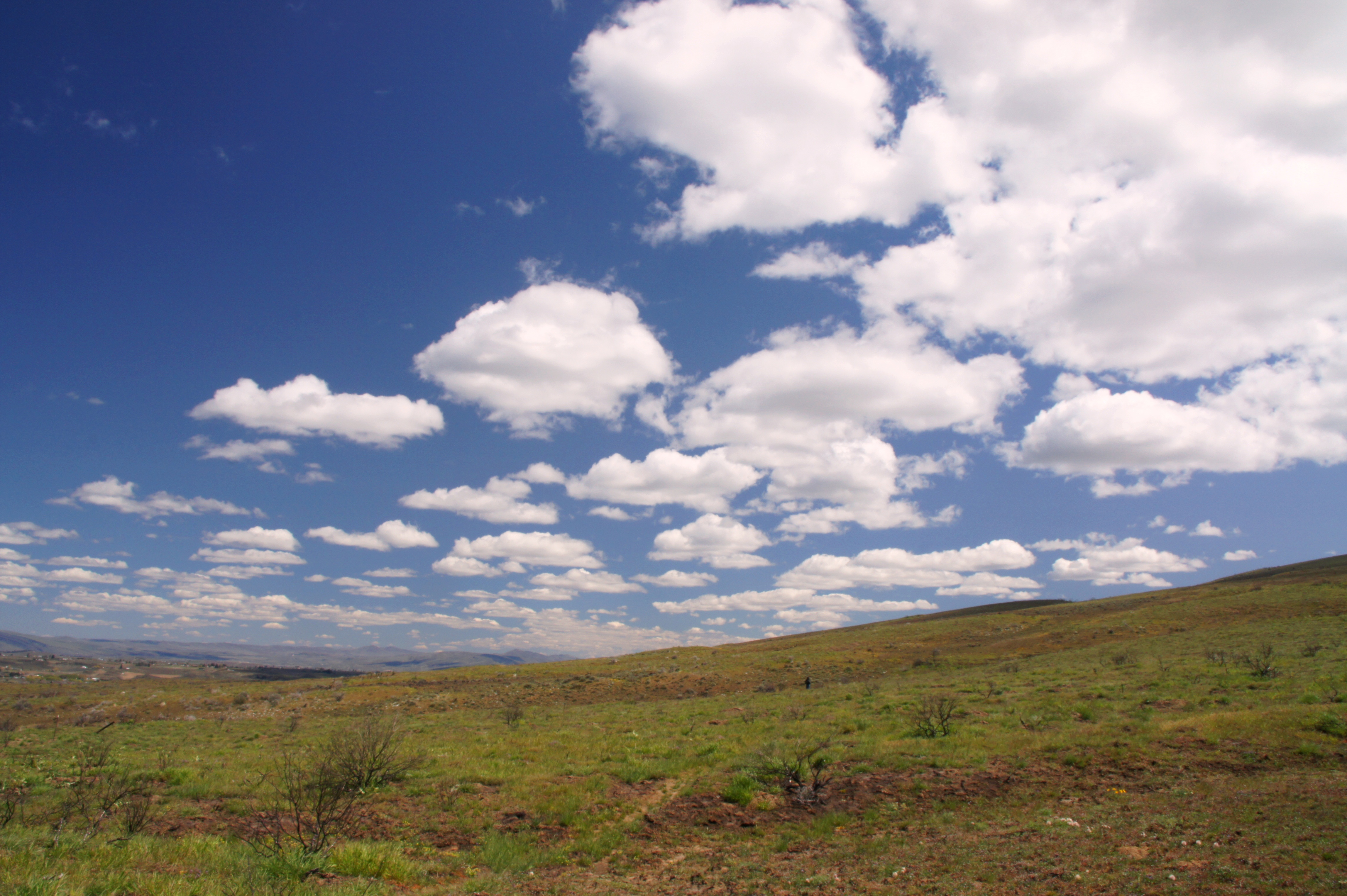
Looking to Cowiche Mountain
IMG_5648.jpg
IMG_5593.jpg

US Northwest
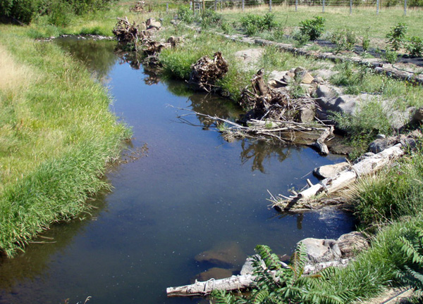
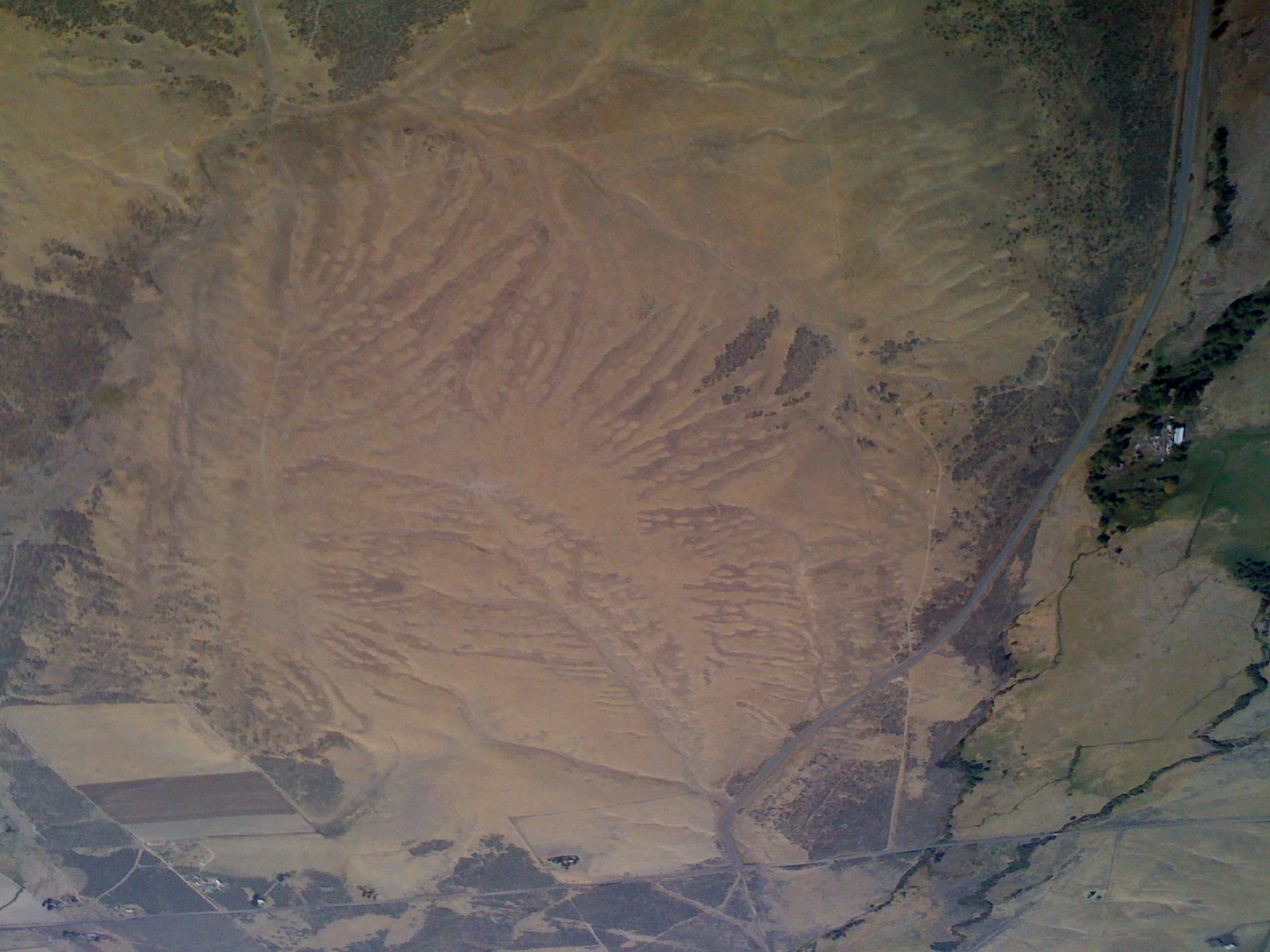
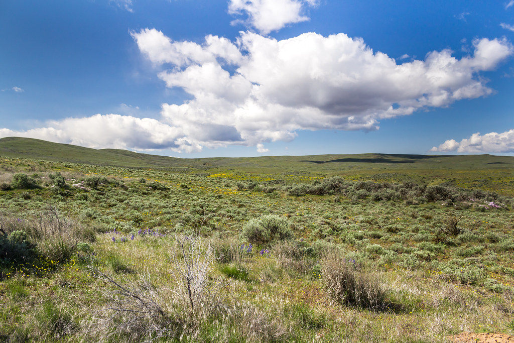
Habitat Restoration
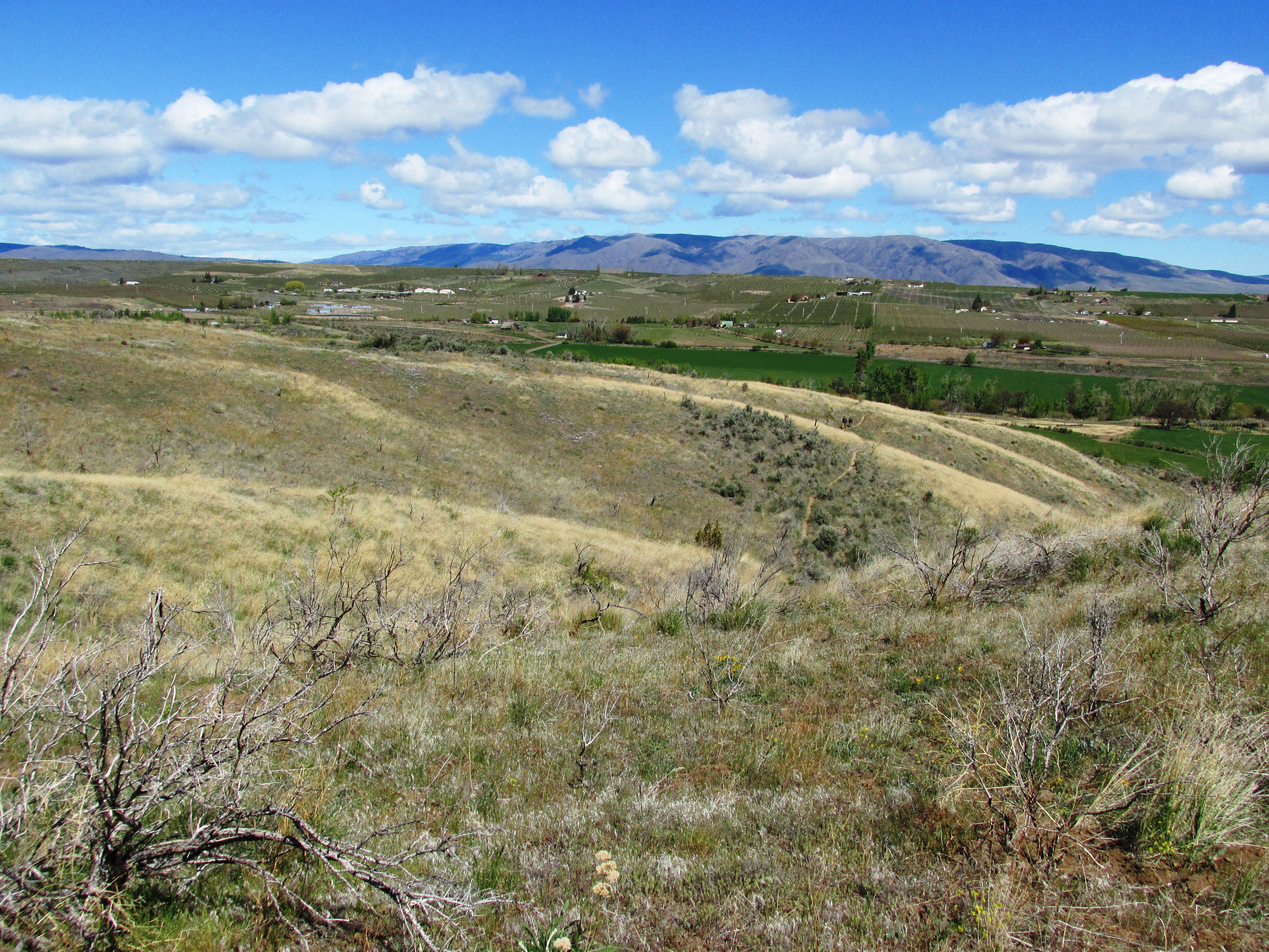
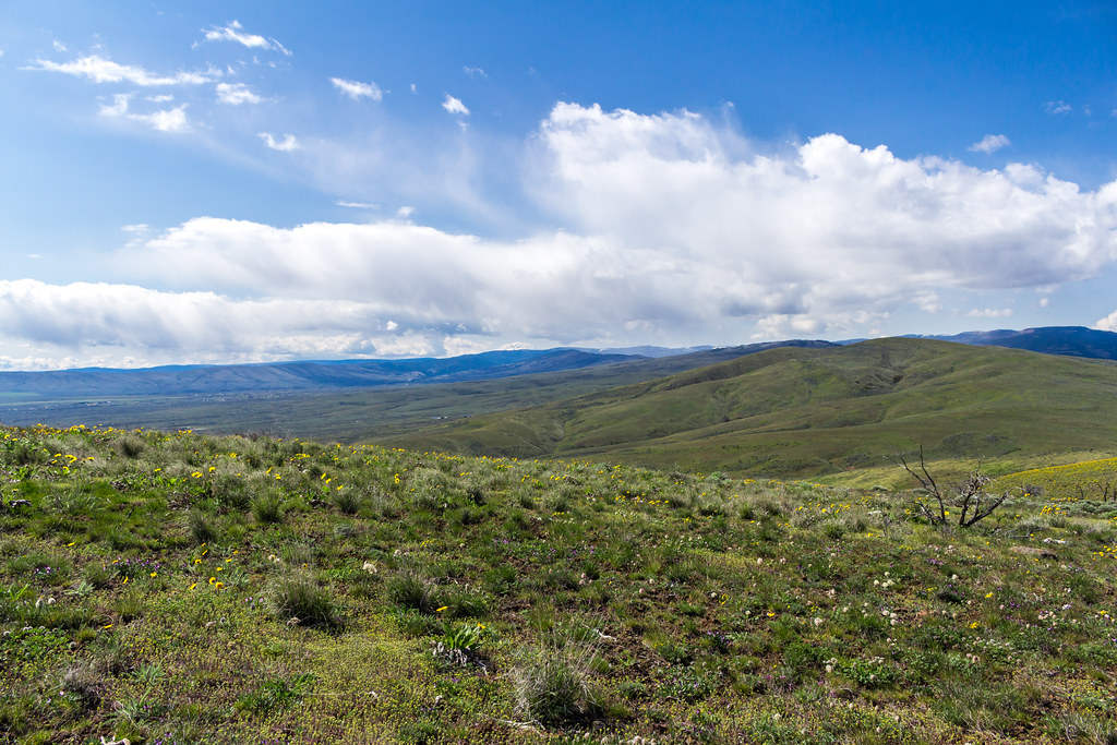
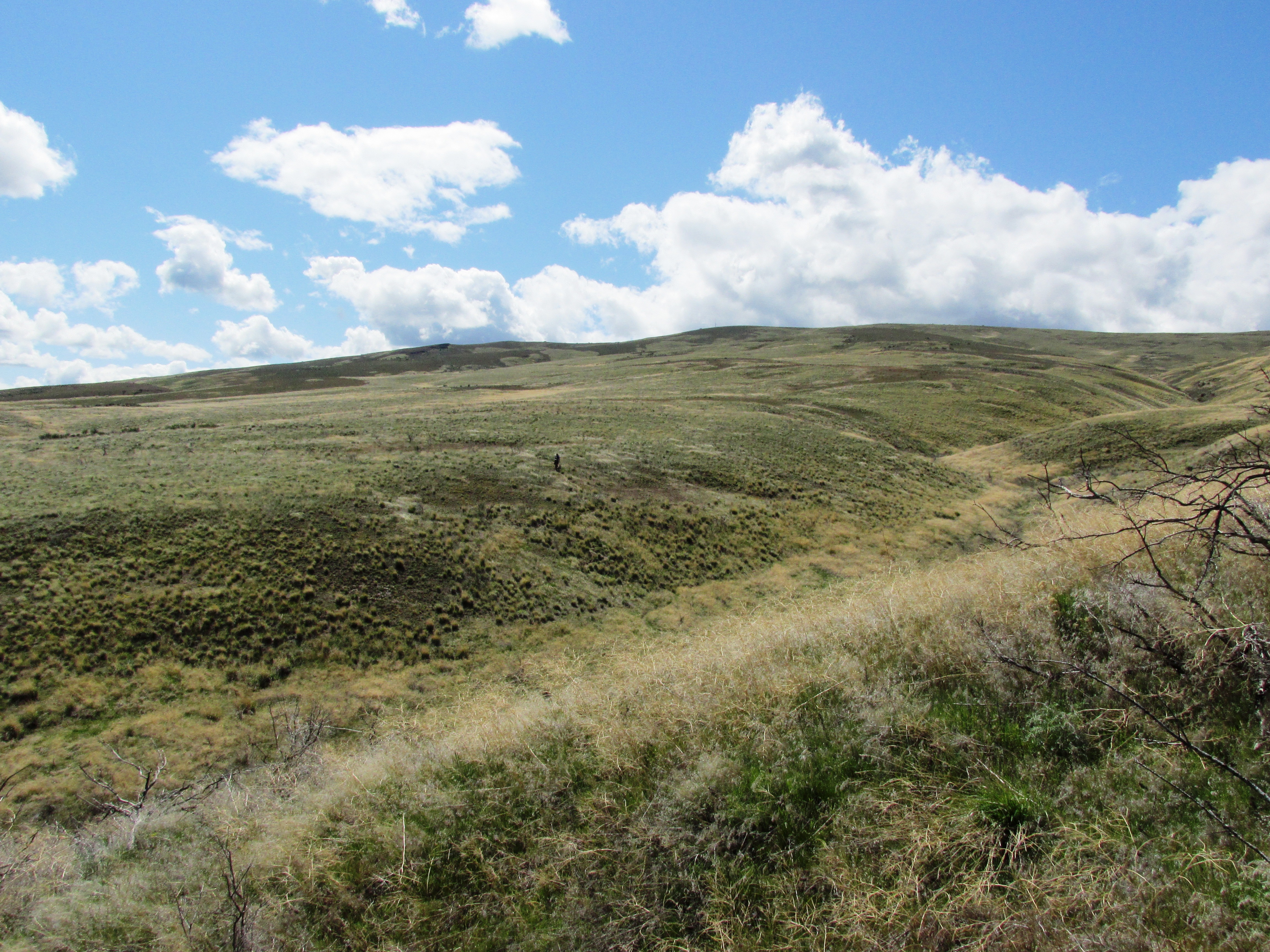
Ascending Cowiche Mountain Trail
IMG_5982.jpg
Topographic Map of W Slavin Rd, Yakima, WA, USA
Find elevation by address:

Places near W Slavin Rd, Yakima, WA, USA:
410 W Slavin Rd
Pine Mountain Drive
22901 Ahtanum Rd
Yakima County
Yakima
2 Carson Rd
530 Willowlawn Rd
14541 Fisk Rd
Branch Rd, Harrah, WA, USA
Cowiche
19630 Summitview Rd
Tieton
1206 Dazet Rd
Orchard Ave, Yakima, WA, USA
9330 Naches Heights Rd
9330 Naches Heights Rd
9330 Naches Heights Rd
9330 Naches Heights Rd
9330 Naches Heights Rd
9330 Naches Heights Rd
Recent Searches:
- Elevation of Corso Fratelli Cairoli, 35, Macerata MC, Italy
- Elevation of Tallevast Rd, Sarasota, FL, USA
- Elevation of 4th St E, Sonoma, CA, USA
- Elevation of Black Hollow Rd, Pennsdale, PA, USA
- Elevation of Oakland Ave, Williamsport, PA, USA
- Elevation of Pedrógão Grande, Portugal
- Elevation of Klee Dr, Martinsburg, WV, USA
- Elevation of Via Roma, Pieranica CR, Italy
- Elevation of Tavkvetili Mountain, Georgia
- Elevation of Hartfords Bluff Cir, Mt Pleasant, SC, USA