Elevation of Branch Rd, Harrah, WA, USA
Location: United States > Washington > Yakima County > Harrah >
Longitude: -120.72186
Latitude: 46.408681
Elevation: 290m / 951feet
Barometric Pressure: 98KPa
Elevation Map:
Satellite Map:
Related Photos:
Cannon cart
IMG_1312 Western Fence Lizard

IMG_1318 Lewis Woodpeckers
IMG_1317 Lewis Woodpeckers
Autumn Splendour
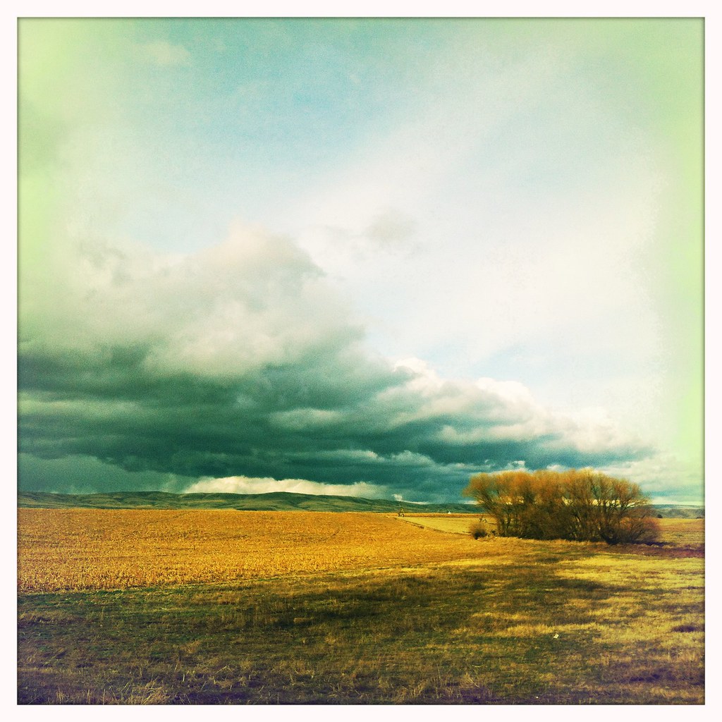
Storm coming in
US Northwest
Fort Simcoe Vegetation

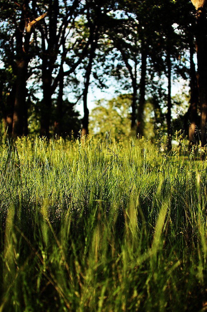
Fort Simcoe Grass

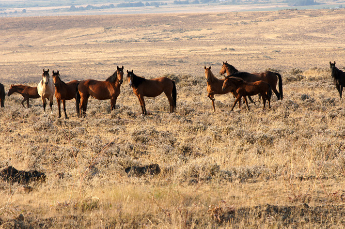
Wild horses
US Northwest
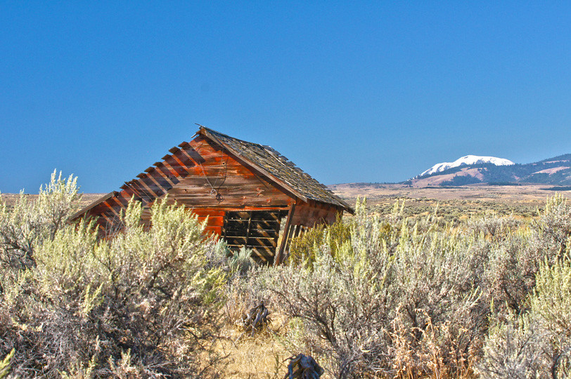
Shack and Adams
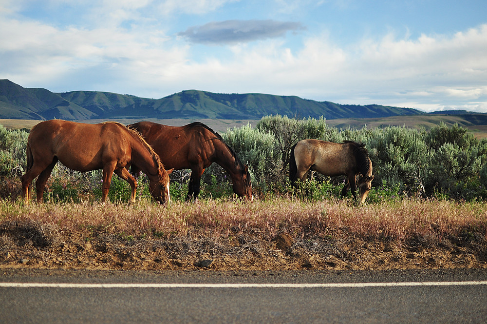
My little Ponies
Wild Horses01
Topographic Map of Branch Rd, Harrah, WA, USA
Find elevation by address:

Places near Branch Rd, Harrah, WA, USA:
2 Carson Rd
Yakima County
Yakima
14541 Fisk Rd
410 W Slavin Rd
871 W Slavin Rd
530 Willowlawn Rd
2881 Harrah Rd
3209 Southcreek Dr
Wapato, WA, USA
9206 Coolidge Rd
1206 Dazet Rd
3312 S 62nd Ave
22901 Ahtanum Rd
South 62nd Avenue
Pine Mountain Drive
8702 Westbrook Ave
Orchard Ave, Yakima, WA, USA
1210 S 72nd Ave
705 S 68th Ave
Recent Searches:
- Elevation of Leyte Industrial Development Estate, Isabel, Leyte, Philippines
- Elevation of W Granada St, Tampa, FL, USA
- Elevation of Pykes Down, Ivybridge PL21 0BY, UK
- Elevation of Jalan Senandin, Lutong, Miri, Sarawak, Malaysia
- Elevation of Bilohirs'k
- Elevation of 30 Oak Lawn Dr, Barkhamsted, CT, USA
- Elevation of Luther Road, Luther Rd, Auburn, CA, USA
- Elevation of Unnamed Road, Respublika Severnaya Osetiya — Alaniya, Russia
- Elevation of Verkhny Fiagdon, North Ossetia–Alania Republic, Russia
- Elevation of F. Viola Hiway, San Rafael, Bulacan, Philippines