Elevation of Yakima, WA, USA
Location: United States > Washington > Yakima County >
Longitude: -120.50589
Latitude: 46.6020711
Elevation: 325m / 1066feet
Barometric Pressure: 97KPa
Elevation Map:
Satellite Map:
Related Photos:

Yakima Valley Panorama

Selah Creek

Sunset 360 at YVCC
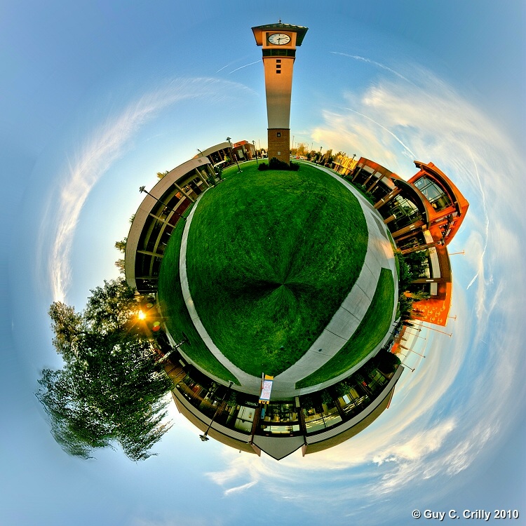
YVCC Polar Panorama
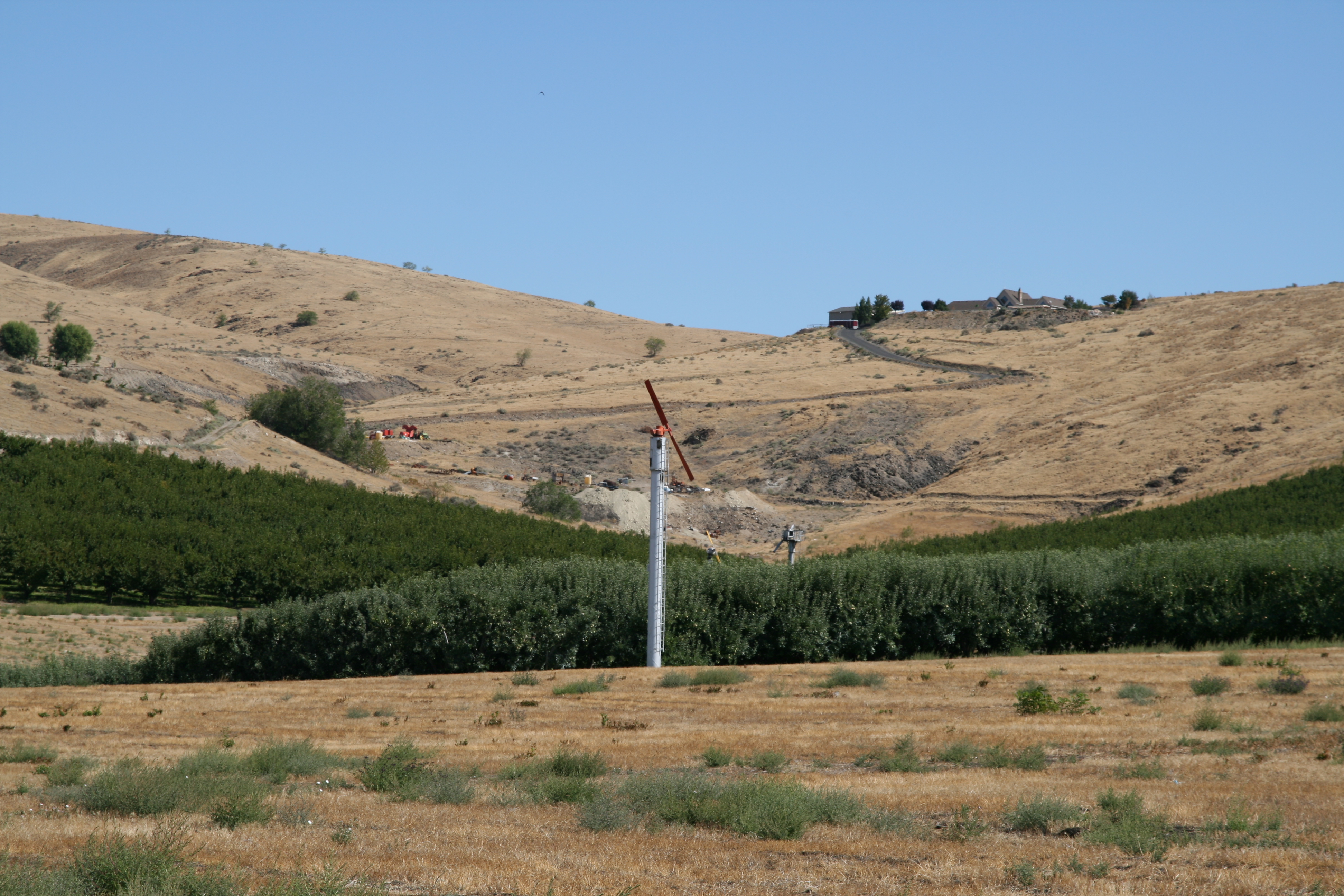
View from Sagelands Vineyard

View from Sagelands Vineyard

View from Sagelands Vineyard
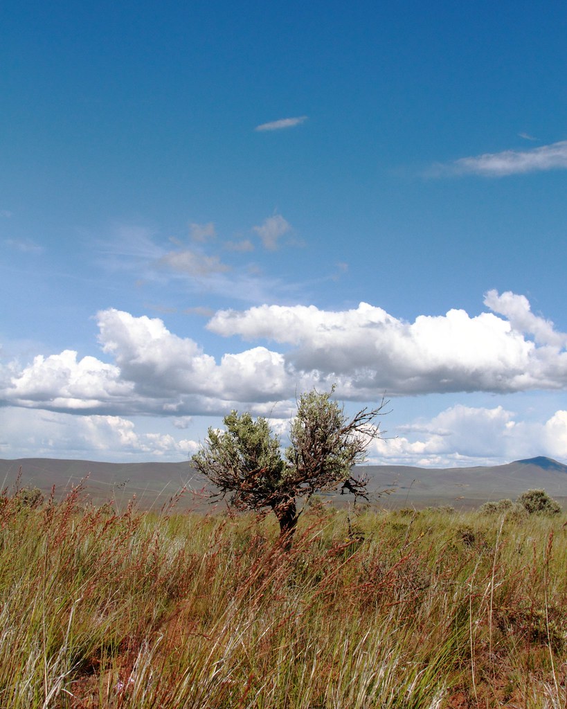
Horntoad ranch view
Topographic Map of Yakima, WA, USA
Find elevation by address:

Places in Yakima, WA, USA:
South 62nd Avenue
4th
Orchard Ave, Yakima, WA, USA
Pomona Rd, Yakima, WA, USA
Summitview Avenue
Pine Mountain Drive
North 51st Avenue
Terrace Heights
Conrad Avenue
Places near Yakima, WA, USA:
1105 Landon Ave
809 W Nob Hill Blvd
502 N 18th Ave
1221 N 16th Ave
2101 W Maclaren St
2102 W Maclaren St
Bethel Ridge Family Resources
2601 W J St
2601 W J St
313 N 30th Ave
720 Cascadia Park Dr
Yakima Tennis Club
510 E Naches Ave
Selah
3701 Gun Club Rd
407 E Goodlander Rd
4606 Conestoga Blvd
Terrace Heights
1605 W Yakima Ave
4911 Summitview Ave
Recent Searches:
- Elevation of Corso Fratelli Cairoli, 35, Macerata MC, Italy
- Elevation of Tallevast Rd, Sarasota, FL, USA
- Elevation of 4th St E, Sonoma, CA, USA
- Elevation of Black Hollow Rd, Pennsdale, PA, USA
- Elevation of Oakland Ave, Williamsport, PA, USA
- Elevation of Pedrógão Grande, Portugal
- Elevation of Klee Dr, Martinsburg, WV, USA
- Elevation of Via Roma, Pieranica CR, Italy
- Elevation of Tavkvetili Mountain, Georgia
- Elevation of Hartfords Bluff Cir, Mt Pleasant, SC, USA