Elevation of W Shelby St, Falmouth, KY, USA
Location: United States > Kentucky > Pendleton County > Falmouth >
Longitude: -84.330363
Latitude: 38.6769981
Elevation: 171m / 561feet
Barometric Pressure: 99KPa
Elevation Map:
Satellite Map:
Related Photos:
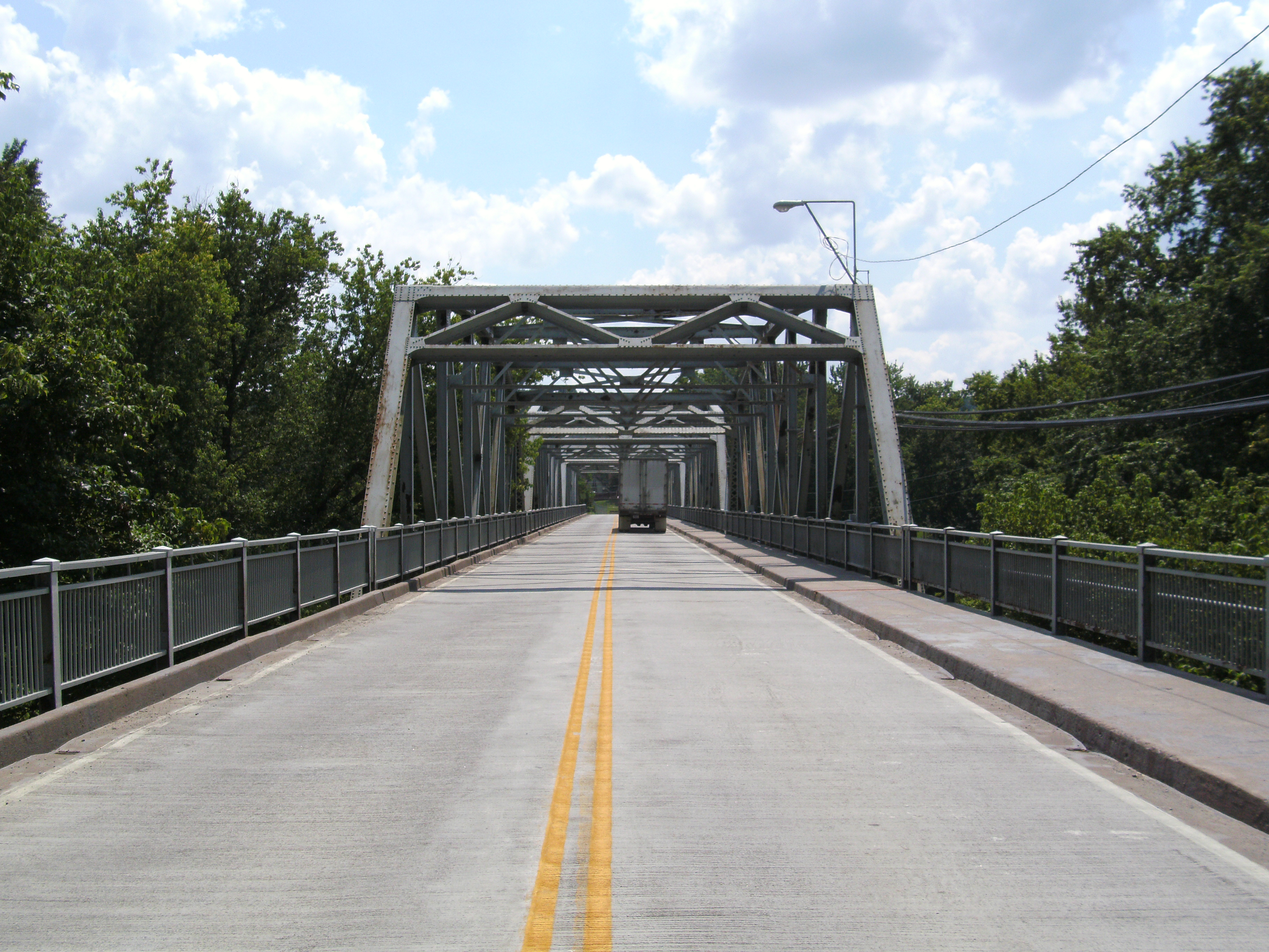
Butler Bridge barrel view
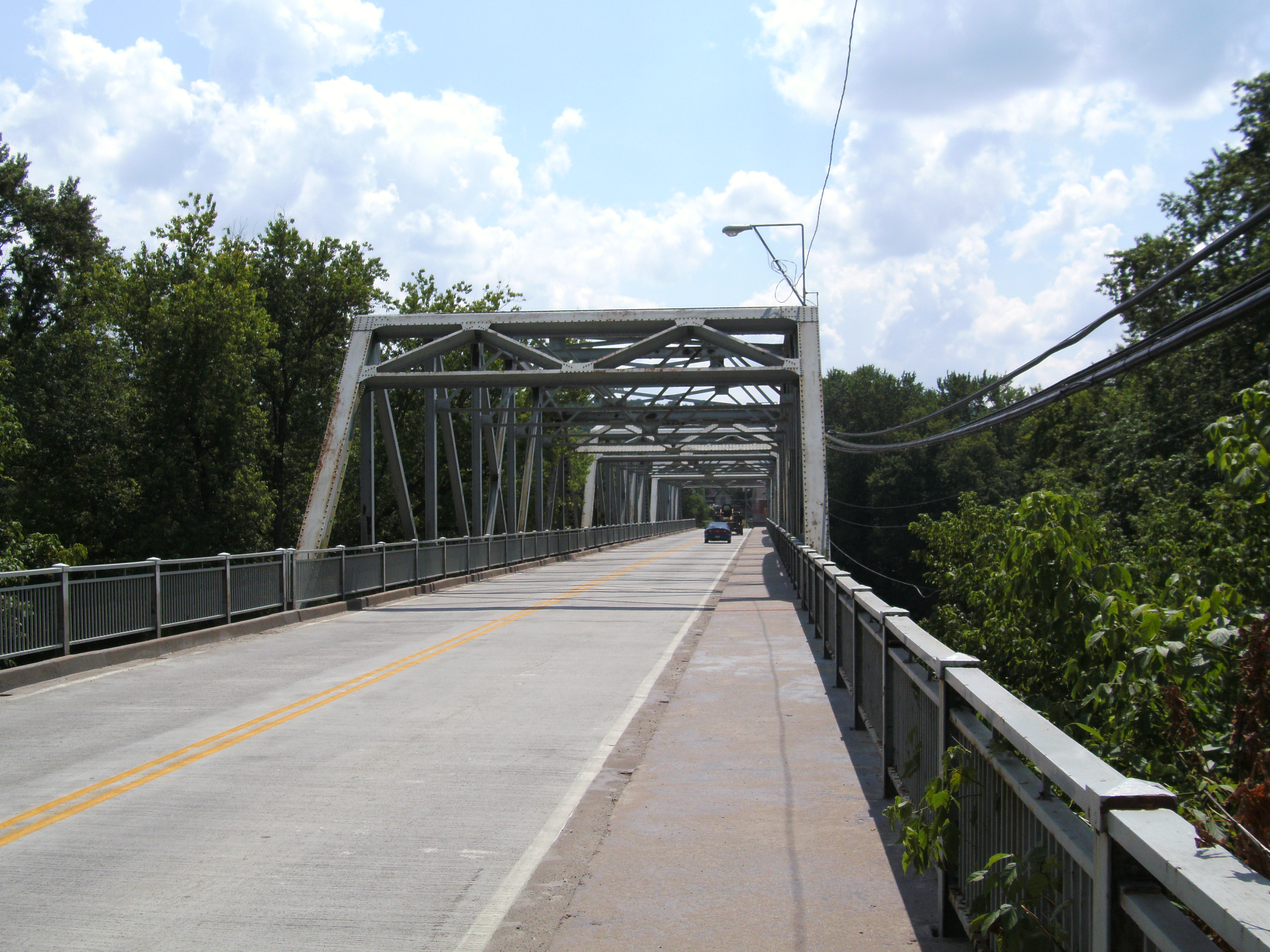
View from walkway
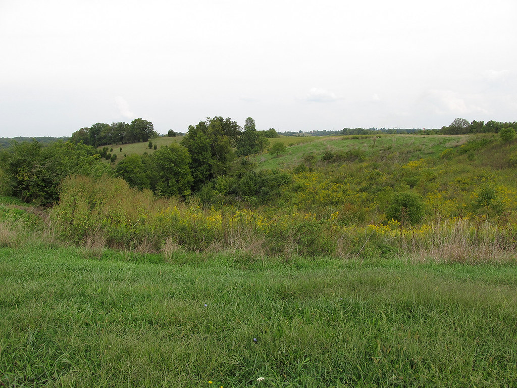
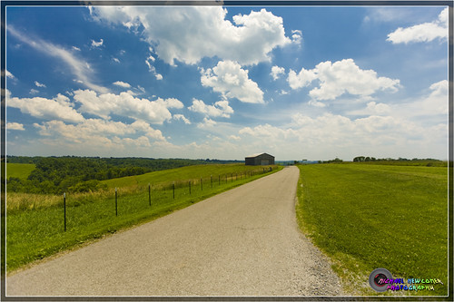
Rolling Hills

Kincaid Lake State Park, KY.

Kincaid Lake State Park, KY.

Picture 129

Picture 128

Tobacco on the stake

Picture 127

Picture 015

Tobacco wagons at dusk.
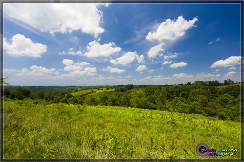
Kentucky Landscape

Picture 112

Holts Creek Foster, Ky.

Picture 026

Kentucky Landscape

Holts Creek Foster, Ky.
Kentucky Landscape

Holts Creek Foster, Ky.

Picture 029

Picture 038

Holts Creek Foster, Ky.

Kentucky Landscape
Topographic Map of W Shelby St, Falmouth, KY, USA
Find elevation by address:

Places near W Shelby St, Falmouth, KY, USA:
Falmouth
259 Falmouth Brooksville Rd
Pendleton County
W State Hwy 22, Falmouth, KY, USA
US-27, Butler, KY, USA
Butler
102 Riverside Dr
KY-10, Falmouth, KY, USA
KY-, Butler, KY, USA
KY-10, Butler, KY, USA
Foster
Gibson Lane
Willow Lenoxburg Rd, Brooksville, KY, USA
Main St, Moscow, OH, USA
Western Hills Rd, Foster, KY, USA
Salem Ridge Rd, Brooksville, KY, USA
84 OH-, Felicity, OH, USA
Brooksville
Miami St, Brooksville, KY, USA
Bracken County
Recent Searches:
- Elevation of Corso Fratelli Cairoli, 35, Macerata MC, Italy
- Elevation of Tallevast Rd, Sarasota, FL, USA
- Elevation of 4th St E, Sonoma, CA, USA
- Elevation of Black Hollow Rd, Pennsdale, PA, USA
- Elevation of Oakland Ave, Williamsport, PA, USA
- Elevation of Pedrógão Grande, Portugal
- Elevation of Klee Dr, Martinsburg, WV, USA
- Elevation of Via Roma, Pieranica CR, Italy
- Elevation of Tavkvetili Mountain, Georgia
- Elevation of Hartfords Bluff Cir, Mt Pleasant, SC, USA