Elevation of Pendleton County, KY, USA
Location: United States > Kentucky > Pendleton County >
Longitude: -84.359802
Latitude: 38.6900889
Elevation: 242m / 794feet
Barometric Pressure: 98KPa
Elevation Map:
Satellite Map:
Related Photos:

Rolling Hills

Butler Bridge barrel view

View from walkway

Tobacco on the stake

Tobacco wagons at dusk.

Rolling Hills, Fall Colors

Picture 026

Picture 038

Sunset 2003
Picture 015

Picture 053

Picture 051

Picture 029

Beautiful day.

Picture 127

Picture 020

05-07-06 013

Picture 016

Picture 112

Picture 128

Punkyville Caboose @ Falmouth Ky.

DAL 1721 Heavey

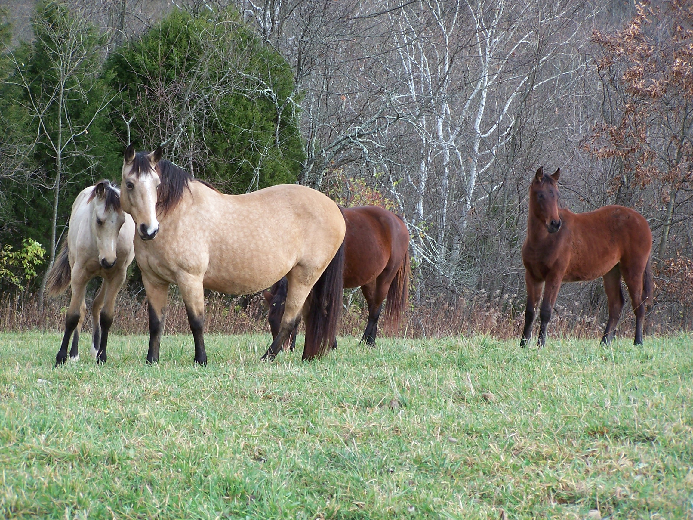
Kentucky Landscape
Topographic Map of Pendleton County, KY, USA
Find elevation by address:

Places in Pendleton County, KY, USA:
Places near Pendleton County, KY, USA:
W State Hwy 22, Falmouth, KY, USA
W Shelby St, Falmouth, KY, USA
Falmouth
259 Falmouth Brooksville Rd
US-27, Butler, KY, USA
Butler
102 Riverside Dr
KY-, Butler, KY, USA
KY-10, Falmouth, KY, USA
KY-10, Butler, KY, USA
Foster
Gibson Lane
Main St, Moscow, OH, USA
Willow Lenoxburg Rd, Brooksville, KY, USA
Western Hills Rd, Foster, KY, USA
Salem Ridge Rd, Brooksville, KY, USA
84 OH-, Felicity, OH, USA
Brooksville
Miami St, Brooksville, KY, USA
903 Main St
Recent Searches:
- Elevation of Congressional Dr, Stevensville, MD, USA
- Elevation of Bellview Rd, McLean, VA, USA
- Elevation of Stage Island Rd, Chatham, MA, USA
- Elevation of Shibuya Scramble Crossing, 21 Udagawacho, Shibuya City, Tokyo -, Japan
- Elevation of Jadagoniai, Kaunas District Municipality, Lithuania
- Elevation of Pagonija rock, Kranto 7-oji g. 8"N, Kaunas, Lithuania
- Elevation of Co Rd 87, Jamestown, CO, USA
- Elevation of Tenjo, Cundinamarca, Colombia
- Elevation of Côte-des-Neiges, Montreal, QC H4A 3J6, Canada
- Elevation of Bobcat Dr, Helena, MT, USA