Elevation of Miami St, Brooksville, KY, USA
Location: United States > Kentucky > Bracken County > Brooksville >
Longitude: -84.065145
Latitude: 38.682452
Elevation: 284m / 932feet
Barometric Pressure: 98KPa
Elevation Map:
Satellite Map:
Related Photos:
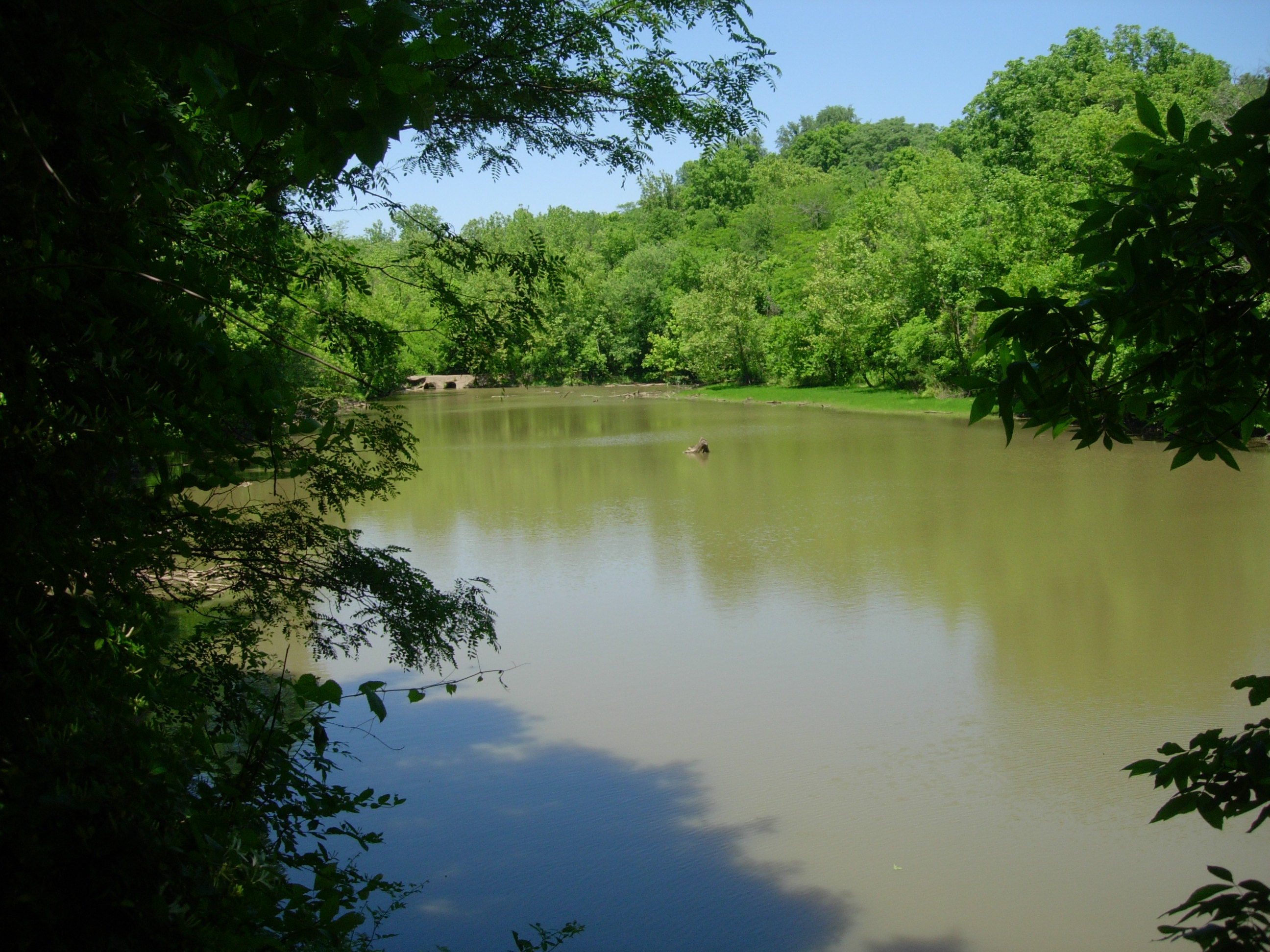
Crooked Run Estuary

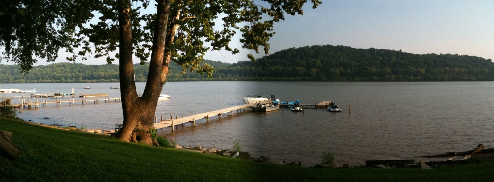
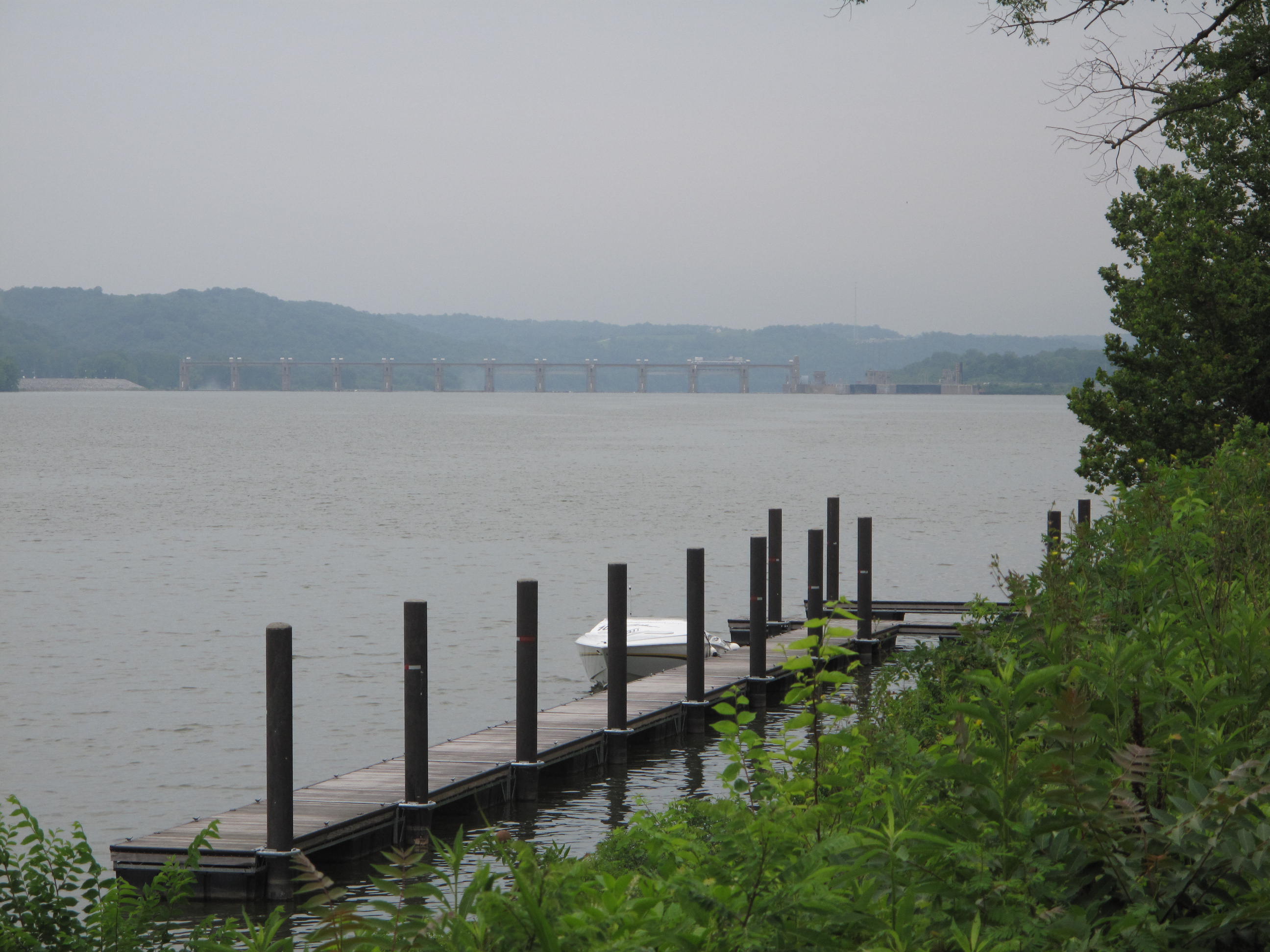
Chilo Lock 34 Park Scenic View

Ohio River from Crooked Run
River View

Crooked Run Meadow
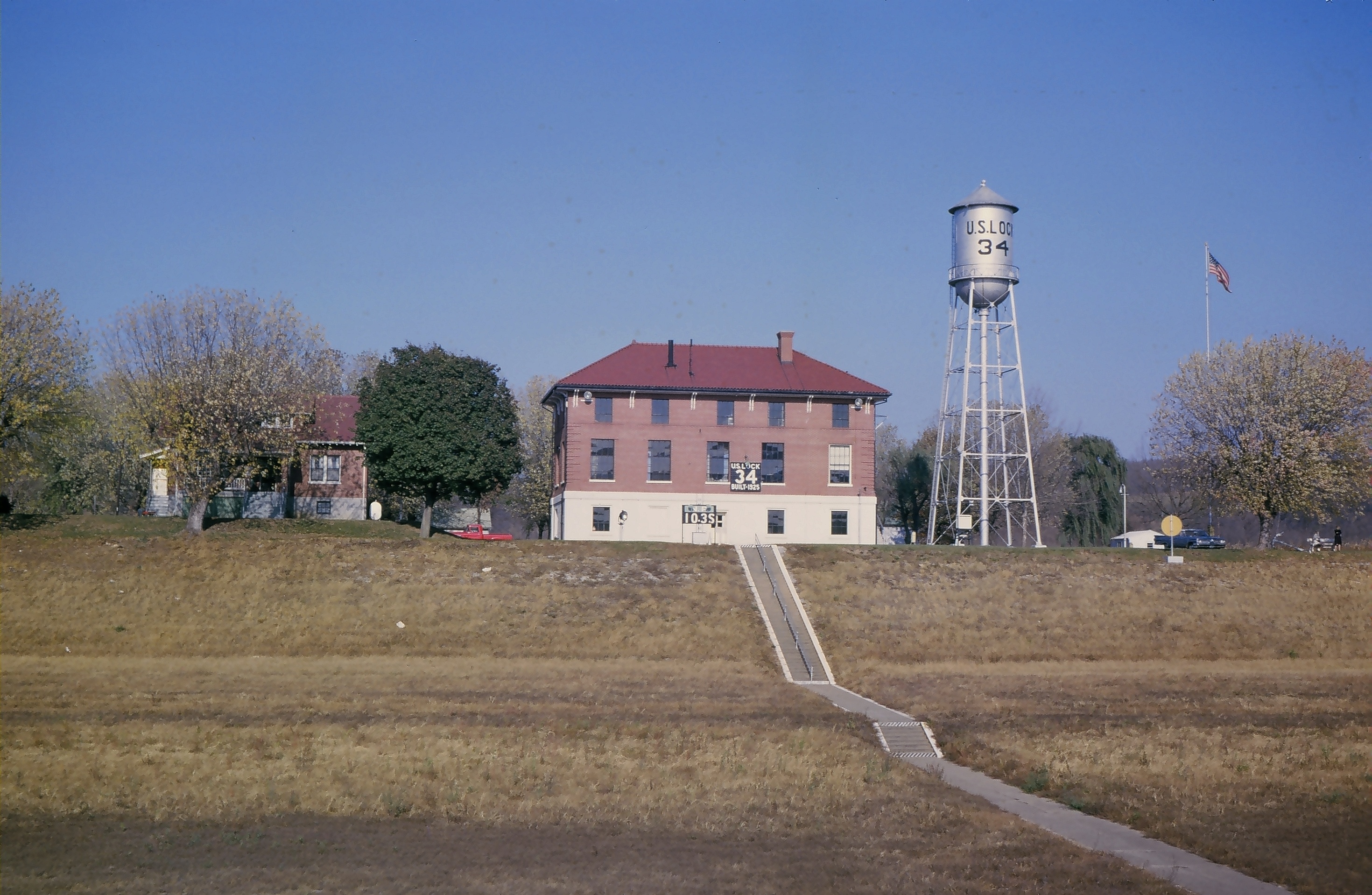
Lock and Dam #34

Walcott bridge, vintage postcard view

View from pony truss bridge

BALD EAGLE

BALD EAGLE & 3 EAGLETS
BALD EAGLE - MOBBED BY CROWS
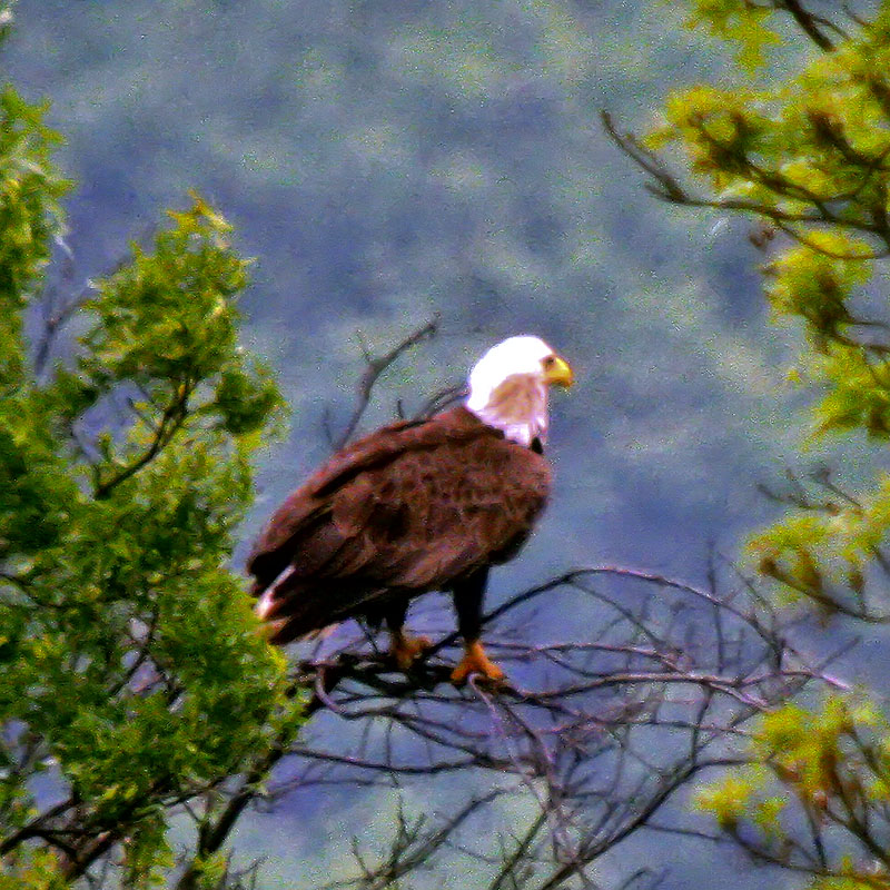
BALD EAGLE
BALD EAGLE
BALD EAGLE
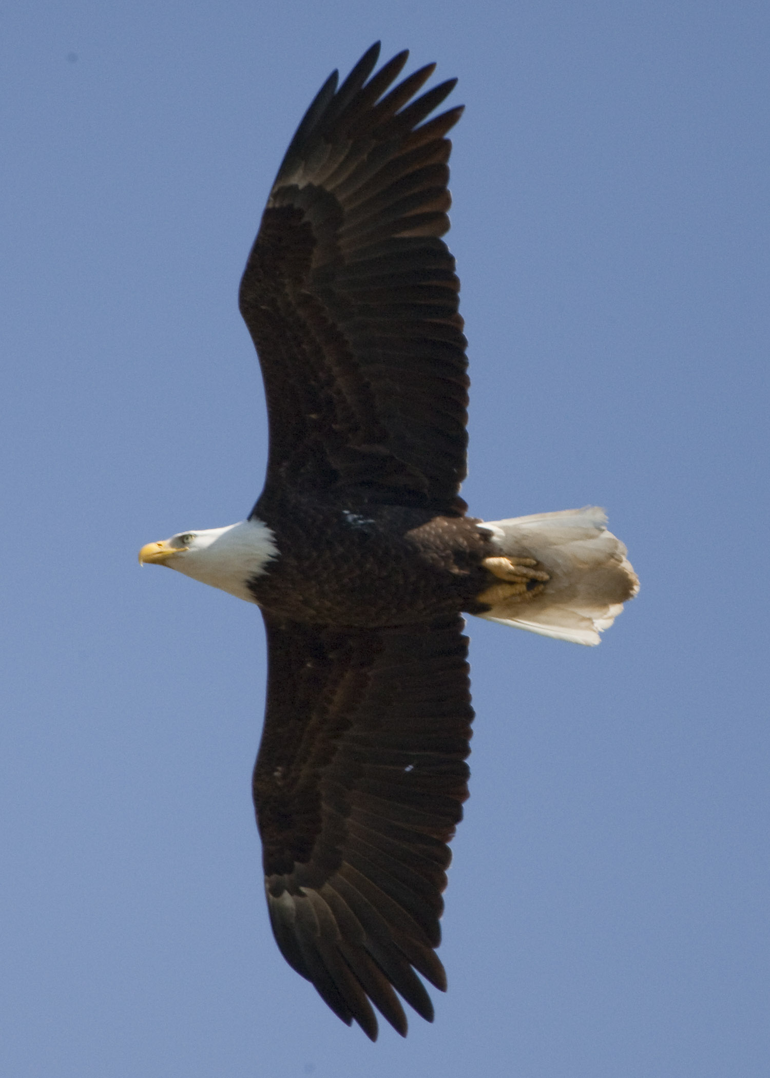
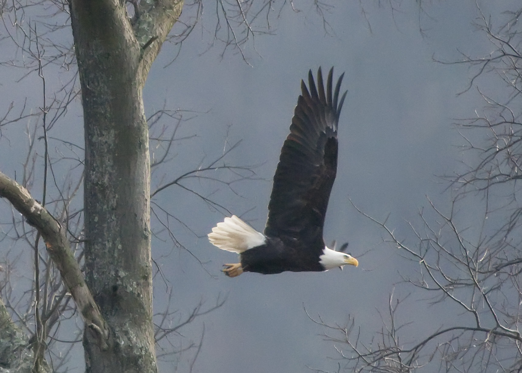
BALD EAGLE FLEW OVER VIEWING AREA
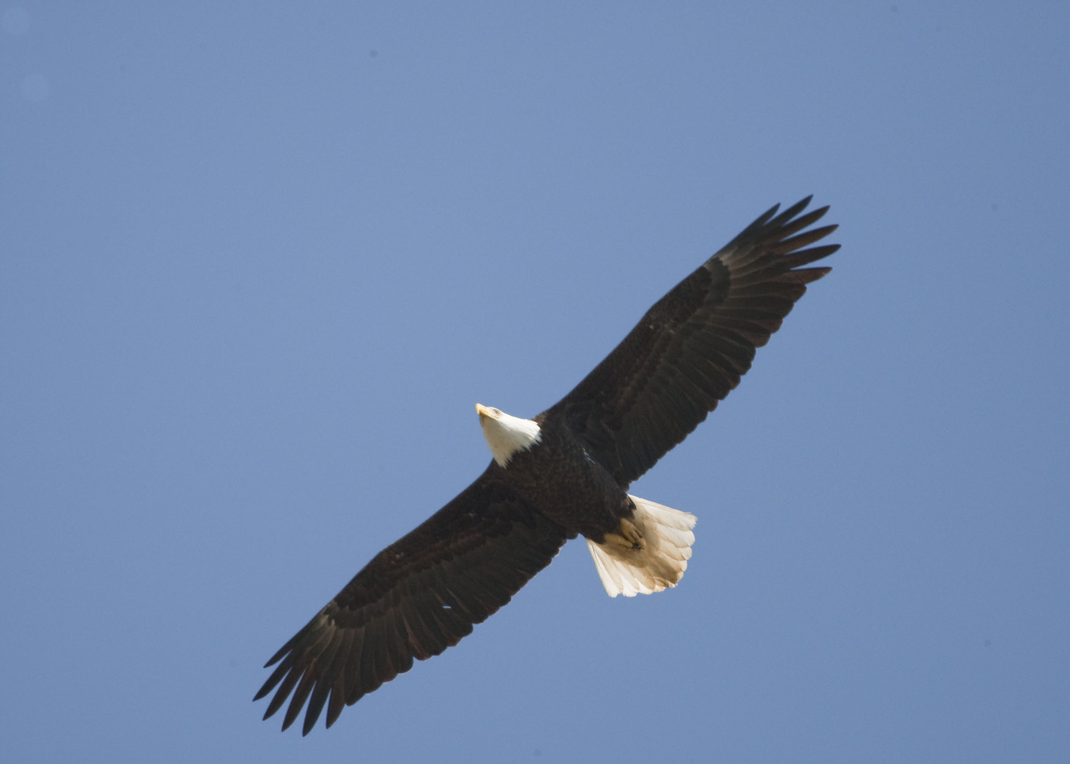
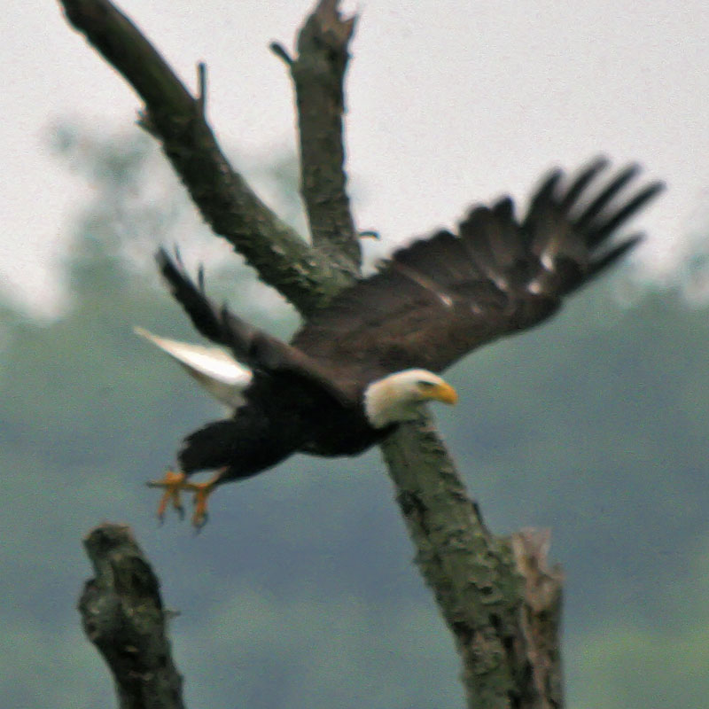
BALD EAGLE JUMPS FROM A PERCH NEAR THE HIGGINSPORT NEST
BALD EAGLE

BALD EAGLE

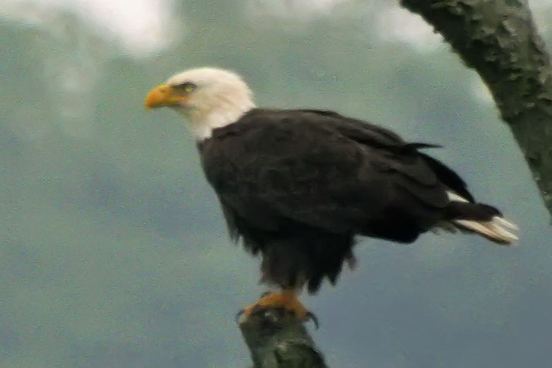
IMMATURE BALD EAGLE AT HIGGINSPORT, OHIO

Fire-99

Dusk 2

Giant Swallowtail

Towboat Reflections
Chilo Lock 34 Park at Sunset

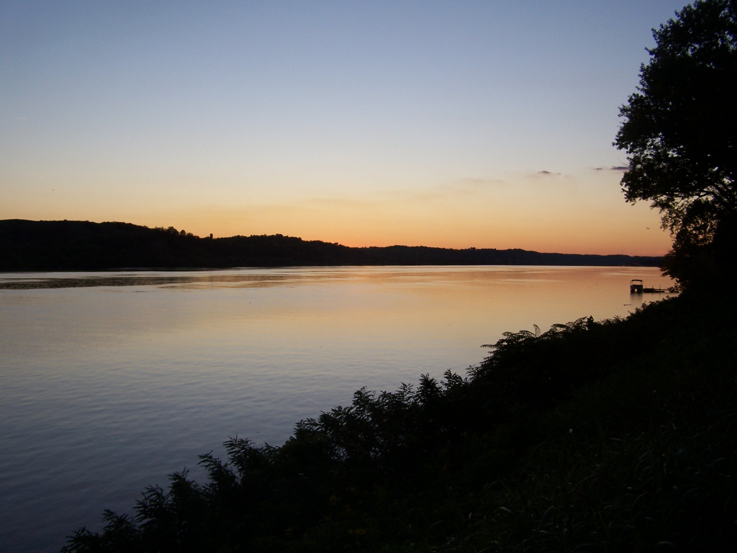
New Year's Sunrise at Chilo Lock 34

New Year's Sunrise at Chilo Lock 34

Chilo Lock 34 Park Wetland

Chilo Lock #34 Park Wetland
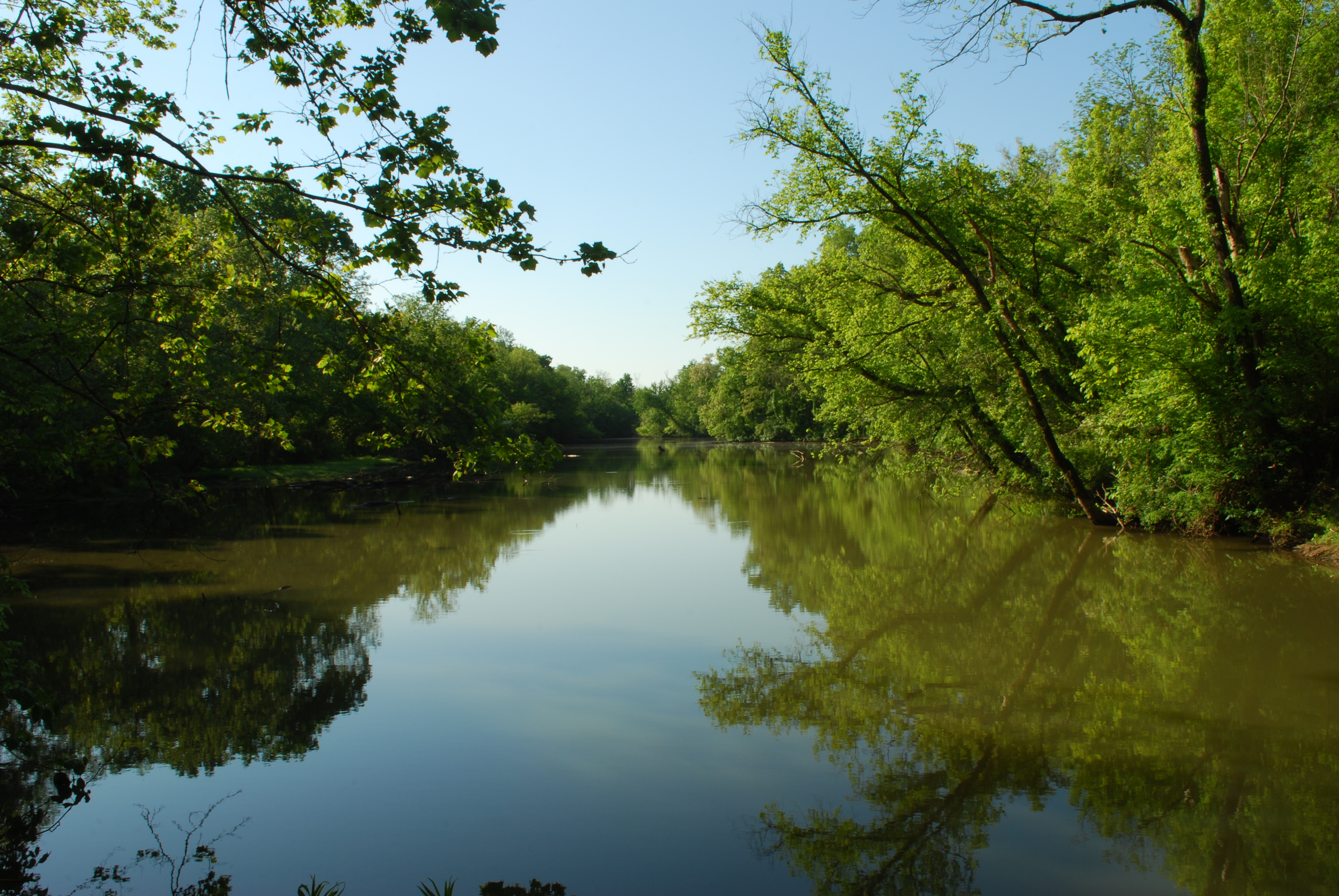
Crooked Run Estuary
Ohio River, Chilo (Ohio), 4 July 2011
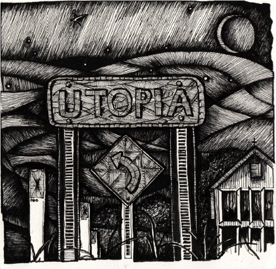
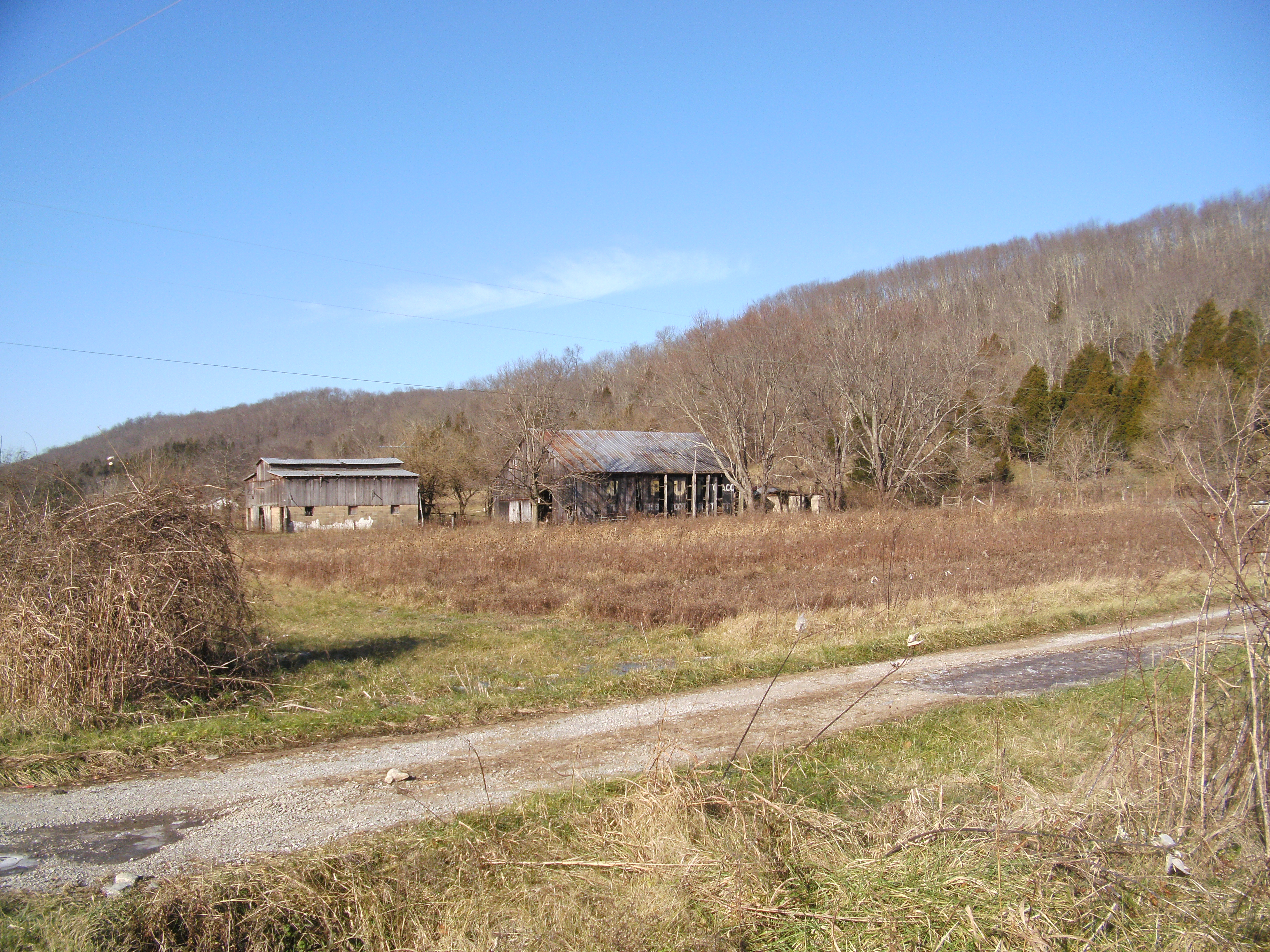
"The Road to Utopia"

Frozen Wetland
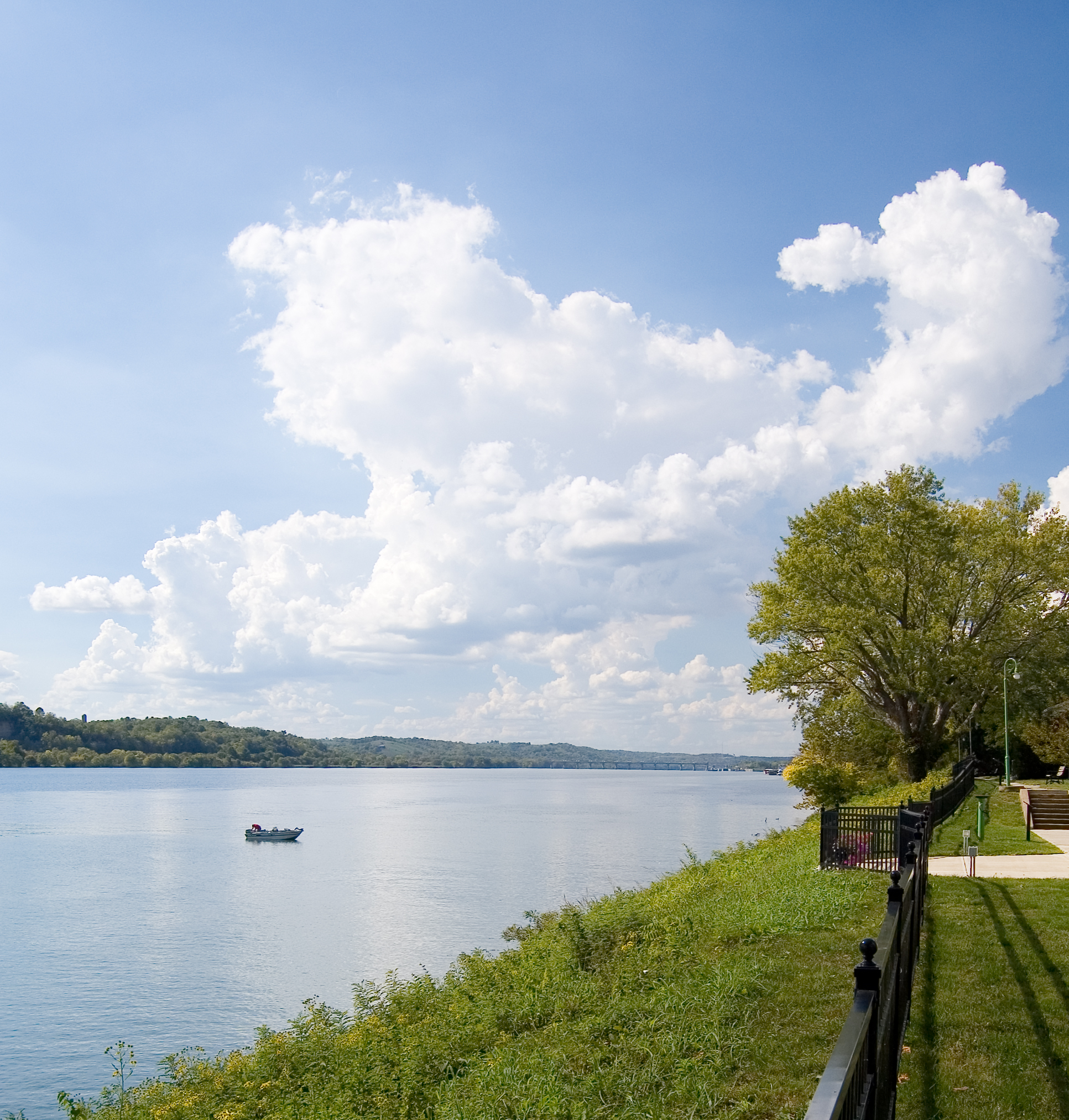
Ohio River
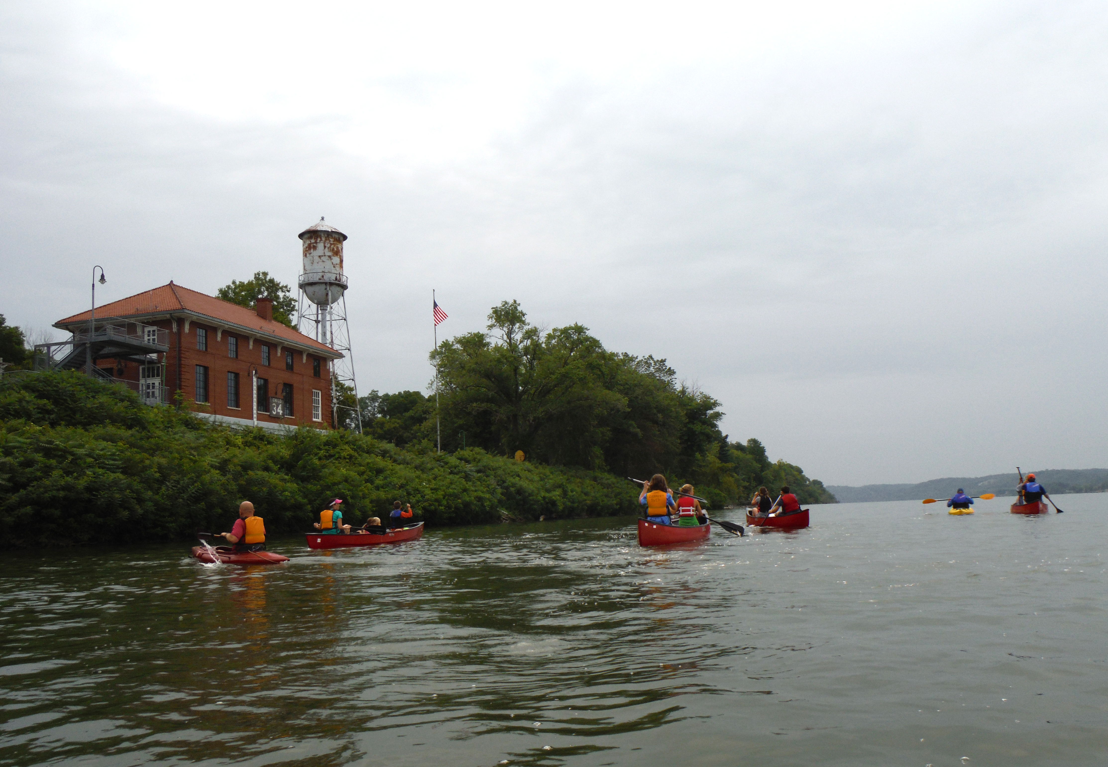
Canoeing Crooked Run 47
MPB 35-08-03, Brown County, Ohio
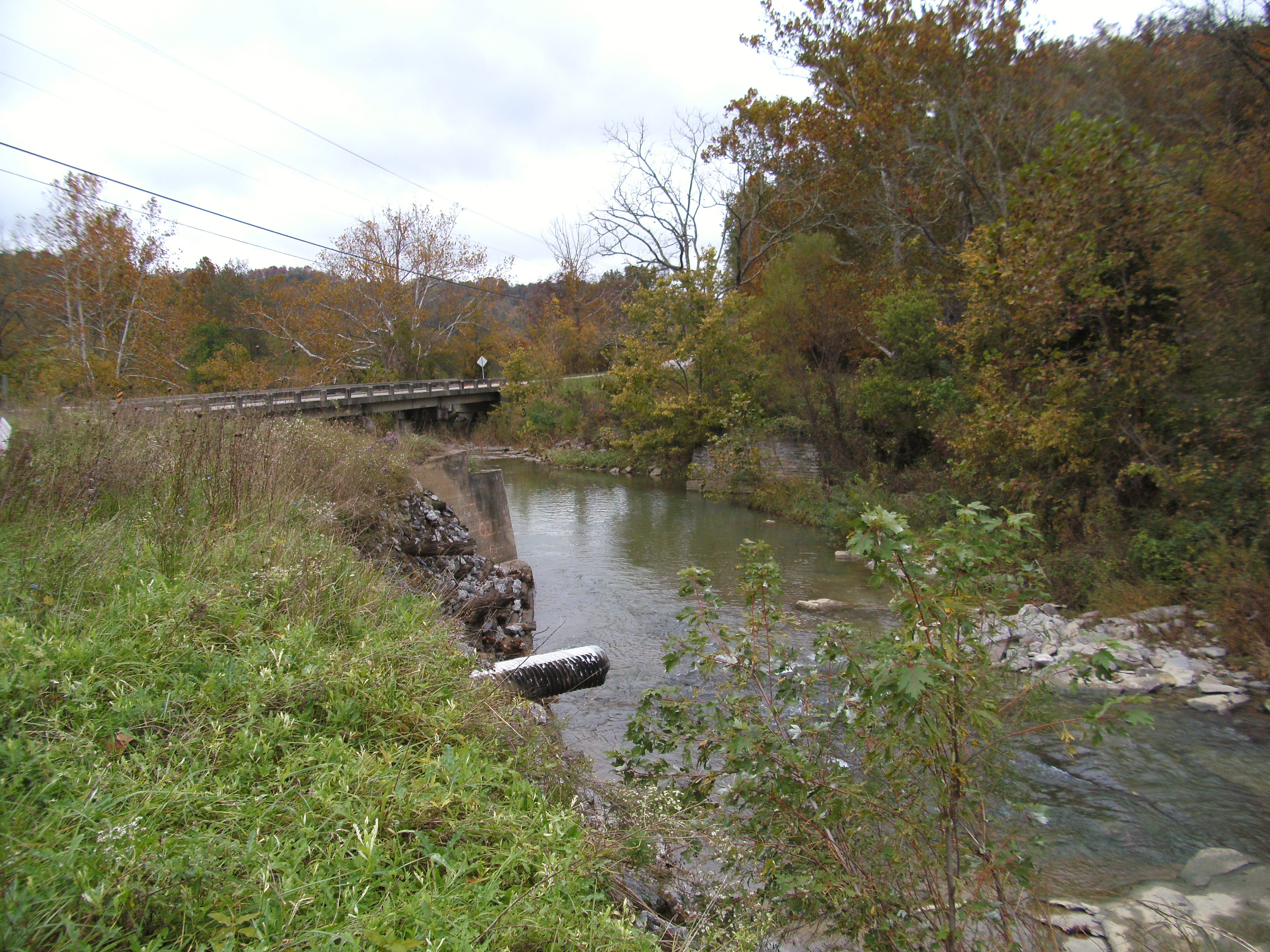
Original location, Walcott Bridge, Bracken County, Kentucky
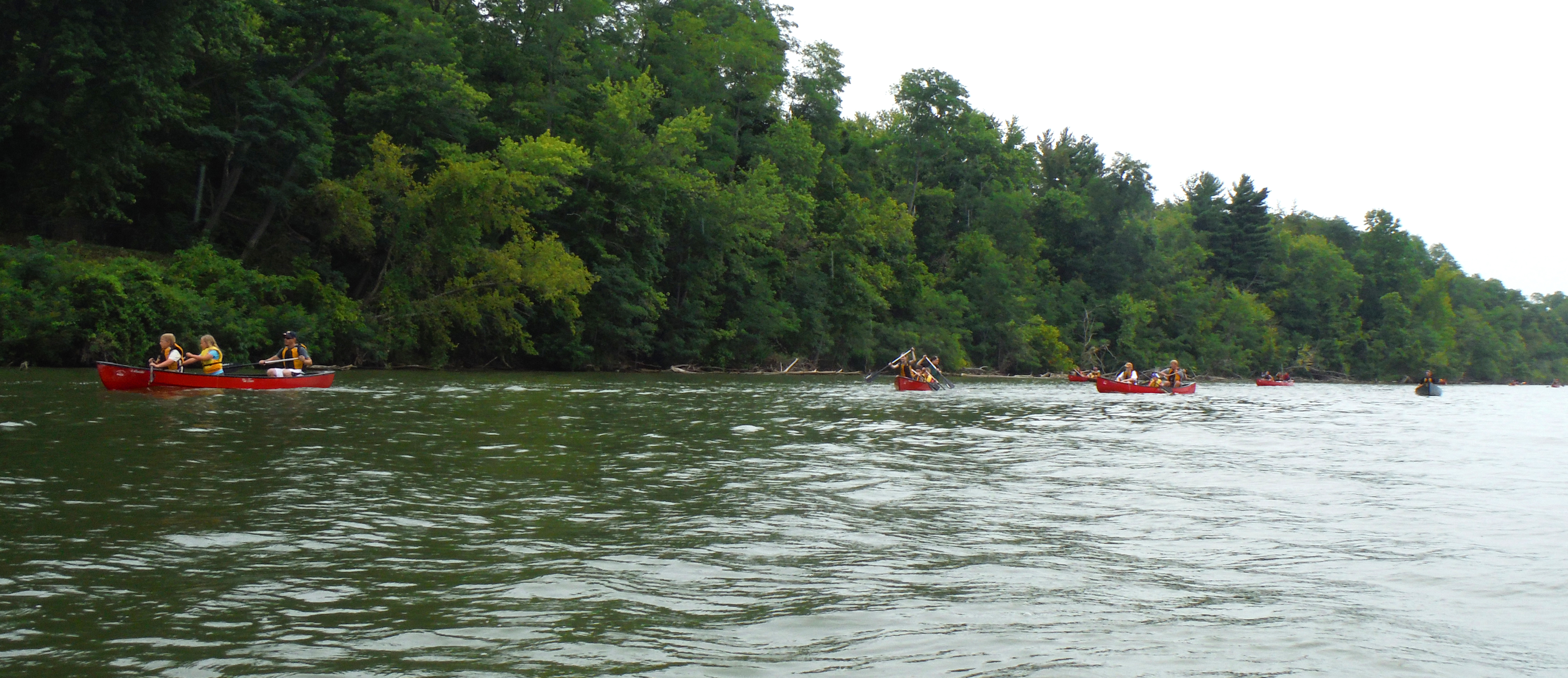
Canoeing Crooked Run 26
CD Sub Reflections

White Bridge 4
Topographic Map of Miami St, Brooksville, KY, USA
Find elevation by address:

Places near Miami St, Brooksville, KY, USA:
Brooksville
Bracken County
Salem Ridge Rd, Brooksville, KY, USA
212 W Ln Utopia
71 Center St
Willow Lenoxburg Rd, Brooksville, KY, USA
84 OH-, Felicity, OH, USA
Western Hills Rd, Foster, KY, USA
Felicity Cedron Rural Rd, Georgetown, OH, USA
Franklin Township
Felicity
N Market St, Felicity, OH, USA
903 Main St
Gibson Lane
KY-10, Falmouth, KY, USA
Foster
Main St, Moscow, OH, USA
KY-, Butler, KY, USA
259 Falmouth Brooksville Rd
Falmouth
Recent Searches:
- Elevation of Gateway Blvd SE, Canton, OH, USA
- Elevation of East W.T. Harris Boulevard, E W.T. Harris Blvd, Charlotte, NC, USA
- Elevation of West Sugar Creek, Charlotte, NC, USA
- Elevation of Wayland, NY, USA
- Elevation of Steadfast Ct, Daphne, AL, USA
- Elevation of Lagasgasan, X+CQH, Tiaong, Quezon, Philippines
- Elevation of Rojo Ct, Atascadero, CA, USA
- Elevation of Flagstaff Drive, Flagstaff Dr, North Carolina, USA
- Elevation of Avery Ln, Lakeland, FL, USA
- Elevation of Woolwine, VA, USA