Elevation of W Morse Dr, Anthem, AZ, USA
Location: United States > Arizona > Maricopa County > New River > Anthem >
Longitude: -112.09744
Latitude: 33.8506882
Elevation: 575m / 1886feet
Barometric Pressure: 95KPa
Elevation Map:
Satellite Map:
Related Photos:

Cool Retro Diner Arrow Sign: Big Earl's Greasy Eats, Cave Creek, Close-up, West View

View to southwest approaching Black Mesa - Spur Cross

Cool Retro AZ Diner Sign: Big Earl's Greasy Eats, Cave Creek, View to the East

Computer Data Hacker

Sugarloaf Mountain and Skull Mesa from Black Mesa Trail - Spur Cross
Desert Forest

Sun view

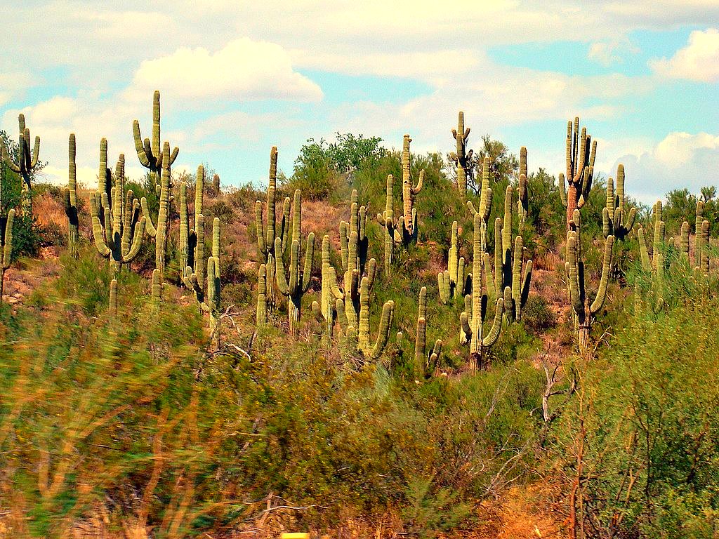
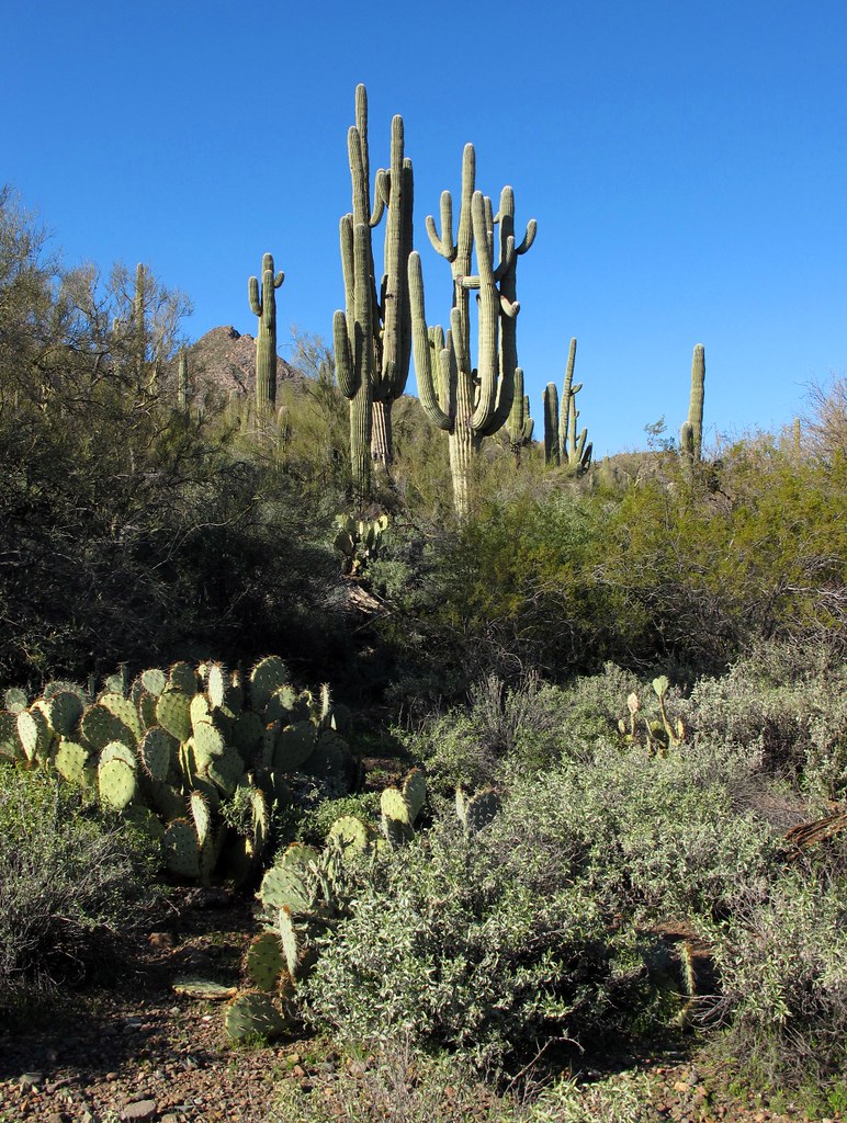
Land of the Giants
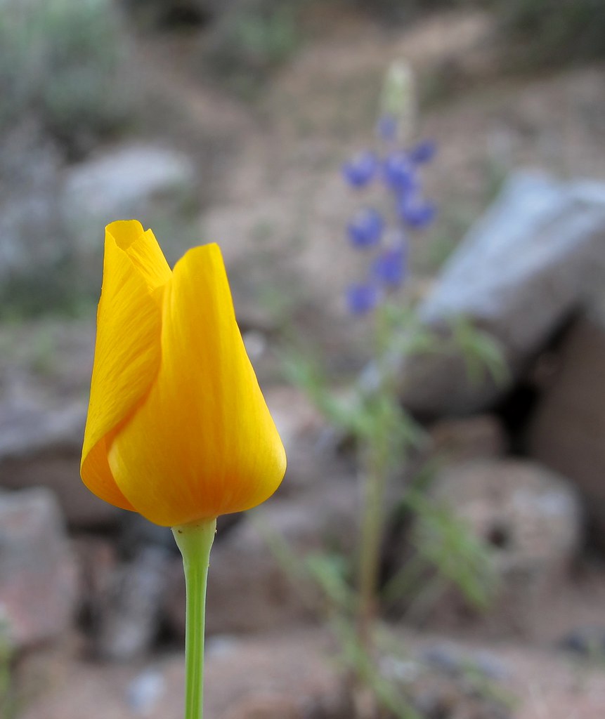
El Niño Desert

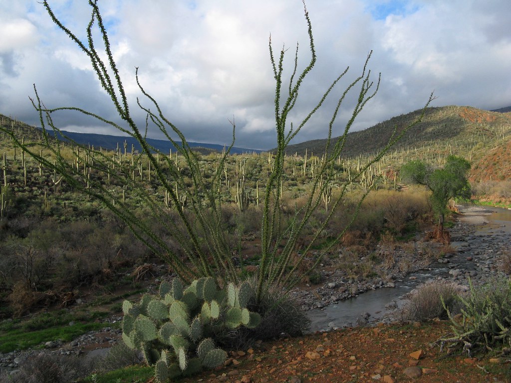
In the Wash (Closeup)
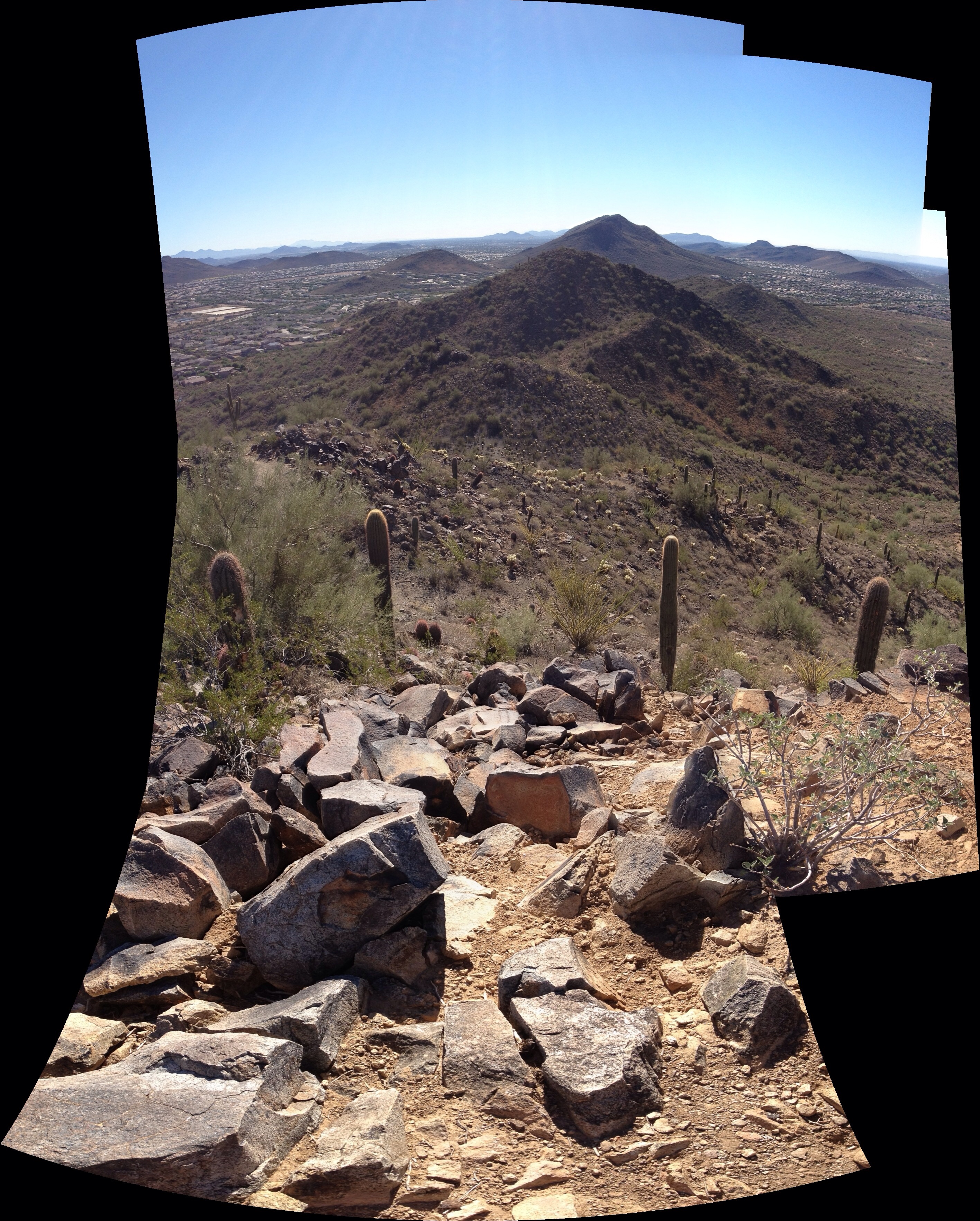
View from East Wing Mountain
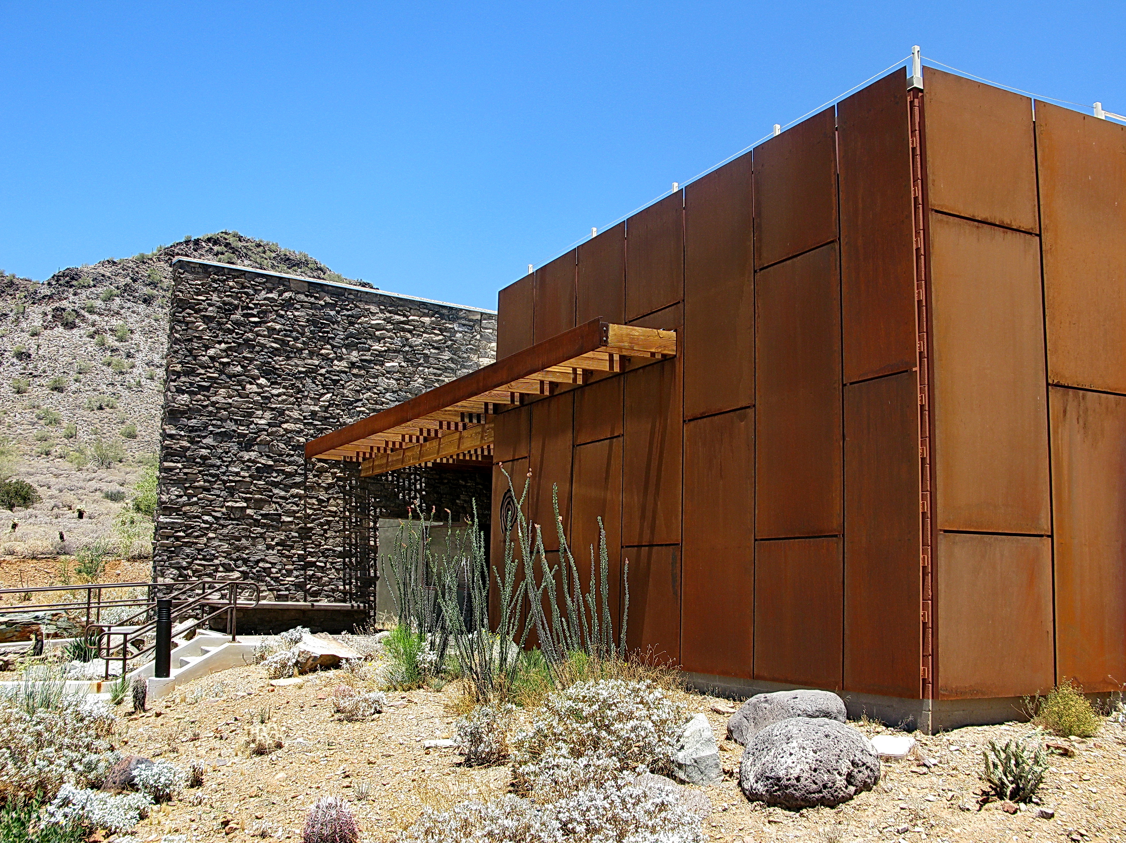
Cave Creek Recreation Area Nature Center
Opening Soon
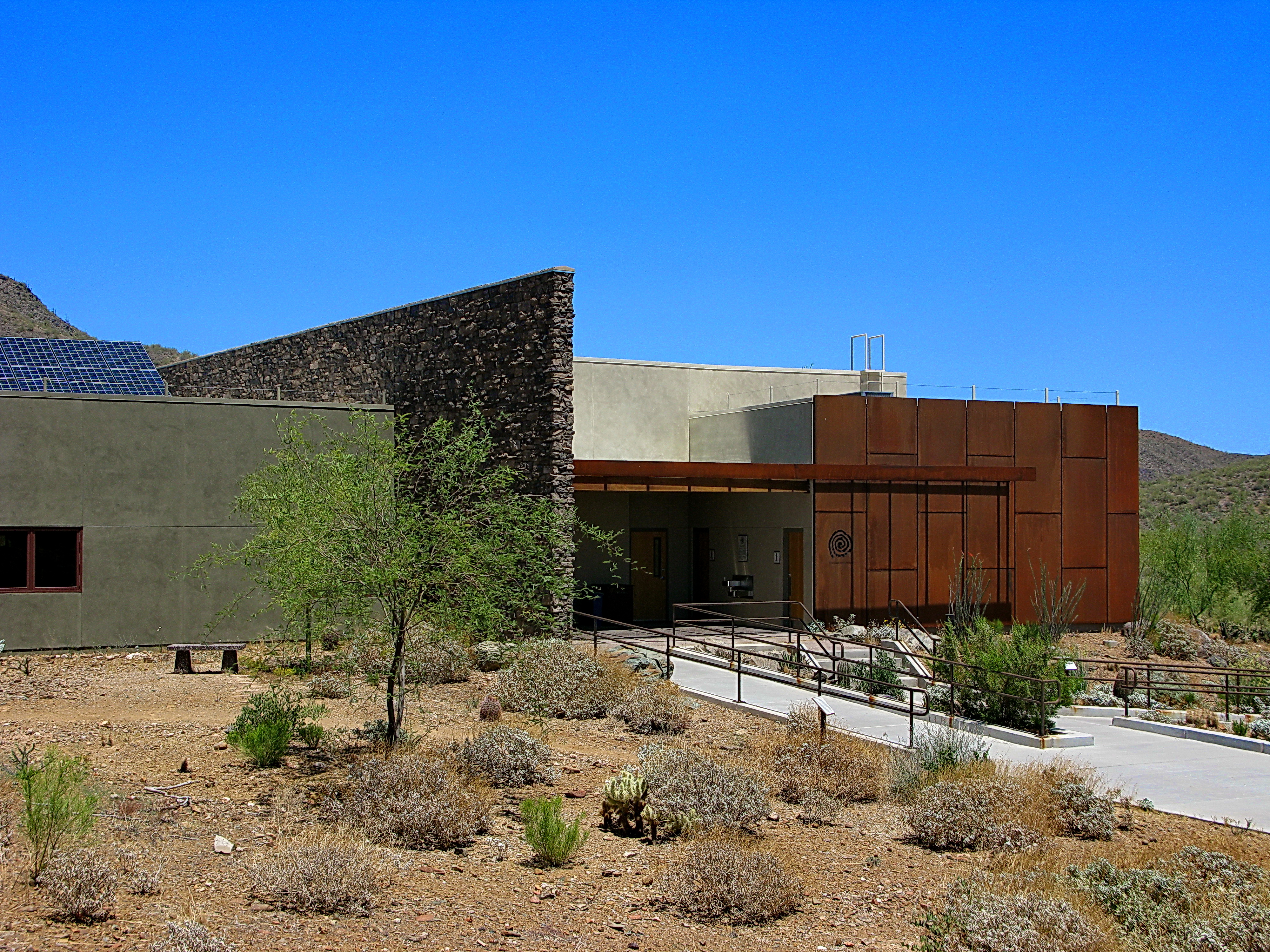
Cave Creek Recreation Area Nature Center
Desert Green Scene

My Final night in Arizona. Going to miss the awesome views, warm weather and early morning hikes with my hard-charging sister. #familyhike #hikes #vacation #optoutside #getoutandexplorenature #nature #trails #apachewash #apachewashtrail #cactus #desert #

Harmony Hollow Ranch - whimsical fence - Cave Creek
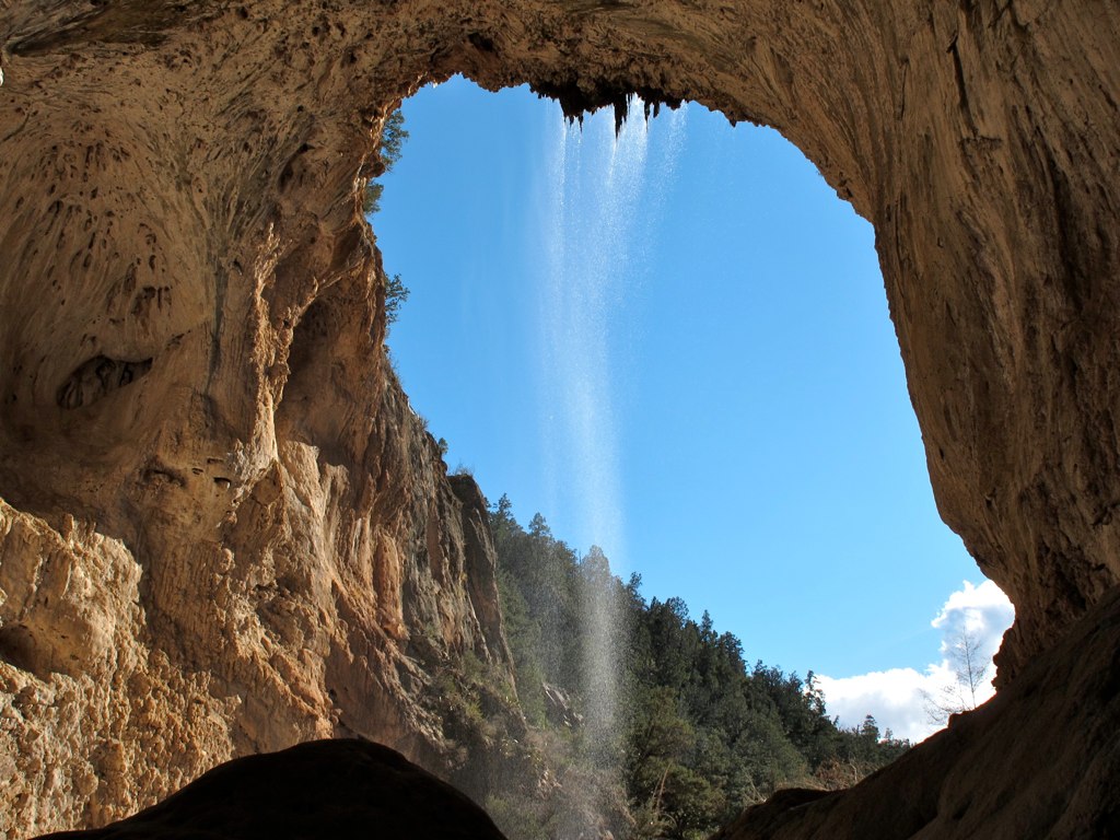
39. A landscape view looking south from underneath the Tonto Natural Bridge

Custom Van.1..... with a modification to the licence plate.

The evening view from Black Mountain.

Retro Diner, Red Arrow Sign: Big Earl's Greasy Eats, Cave Creek, Street View to West, Cave Creek, AZ

Arizona sunset
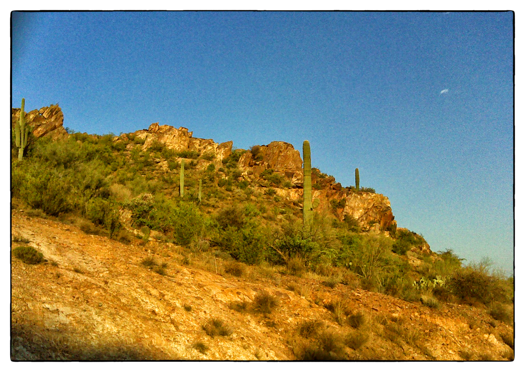
Table Mesa Rd Morning Hike

Where mountain meets sky

Hard life...
Table Mesa Rd Morning Hike

The pleasant sunsets

Welcome to Arizona. Here's a (tone)Map of the Area!

Table Mesa Rd Morning Hike

Sleeping Indian Mountain
That day on the beach

Deem Hills
Table Mesa Rd Morning Hike
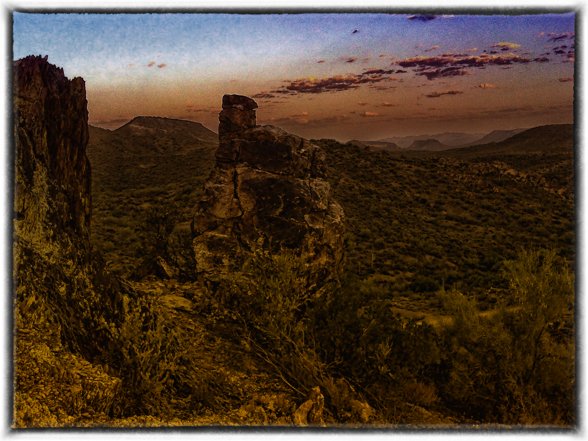
Table Mesa Rd Morning Hike
farewell cave creek
Table Mesa Area Arizona

Phoenix, Arizona

Hiking with the hounds.

Driving through the desert heading to Vegas!

Fahrt im Heißluftballon

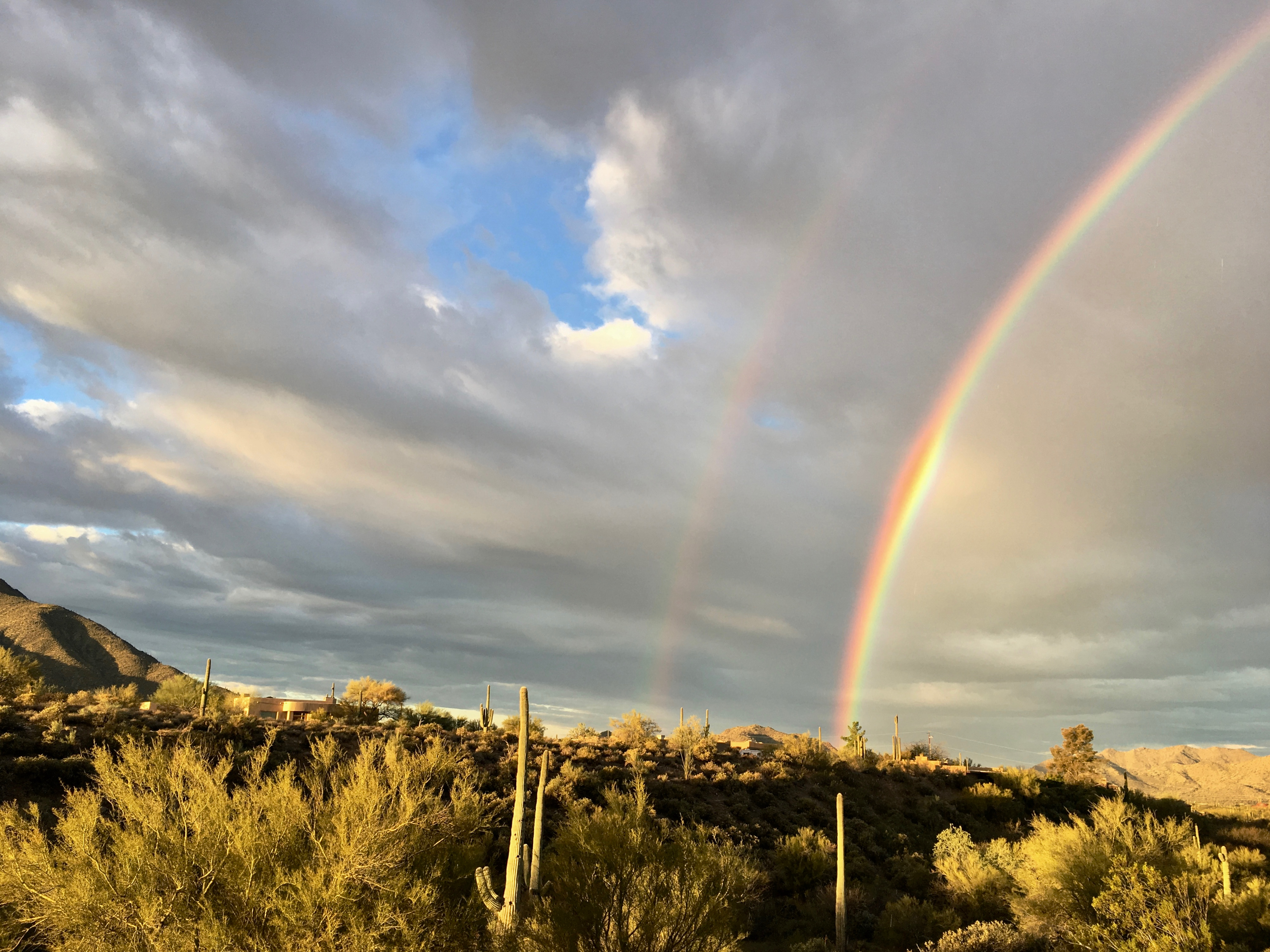
Anthem Sunset

Xavi on Black Canyon Trail
Topographic Map of W Morse Dr, Anthem, AZ, USA
Find elevation by address:

Places near W Morse Dr, Anthem, AZ, USA:
1767 W Owens Way
1619 W Owens Way
39514 N White Tail Ln
2102 W Hidden Treasure Way
40712 N Long Landing Ct
1958 W Wayne Ln
41606 N Signal Hill Ct
39805 7th Ave
909 W Hazelhurst Dr
42225 N Olympic Fields Ct
2532 W Muirfield Dr
42501 N Crosswater Way
916 W Ravina Ln
Phoenix, AZ, USA
42138 N Anthem Heights Dr
2819 W Reedy Creek Dr
2407 W Desert Ranch Rd
Anthem Golf & Country Club
Anthem
12 E Irvine Rd
Recent Searches:
- Elevation of Congressional Dr, Stevensville, MD, USA
- Elevation of Bellview Rd, McLean, VA, USA
- Elevation of Stage Island Rd, Chatham, MA, USA
- Elevation of Shibuya Scramble Crossing, 21 Udagawacho, Shibuya City, Tokyo -, Japan
- Elevation of Jadagoniai, Kaunas District Municipality, Lithuania
- Elevation of Pagonija rock, Kranto 7-oji g. 8"N, Kaunas, Lithuania
- Elevation of Co Rd 87, Jamestown, CO, USA
- Elevation of Tenjo, Cundinamarca, Colombia
- Elevation of Côte-des-Neiges, Montreal, QC H4A 3J6, Canada
- Elevation of Bobcat Dr, Helena, MT, USA