Elevation of New River, AZ, USA
Location: United States > Arizona > Maricopa County >
Longitude: -112.13599
Latitude: 33.9158687
Elevation: 617m / 2024feet
Barometric Pressure: 94KPa
Elevation Map:
Satellite Map:
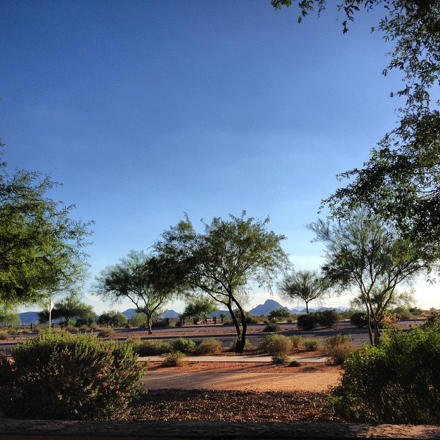
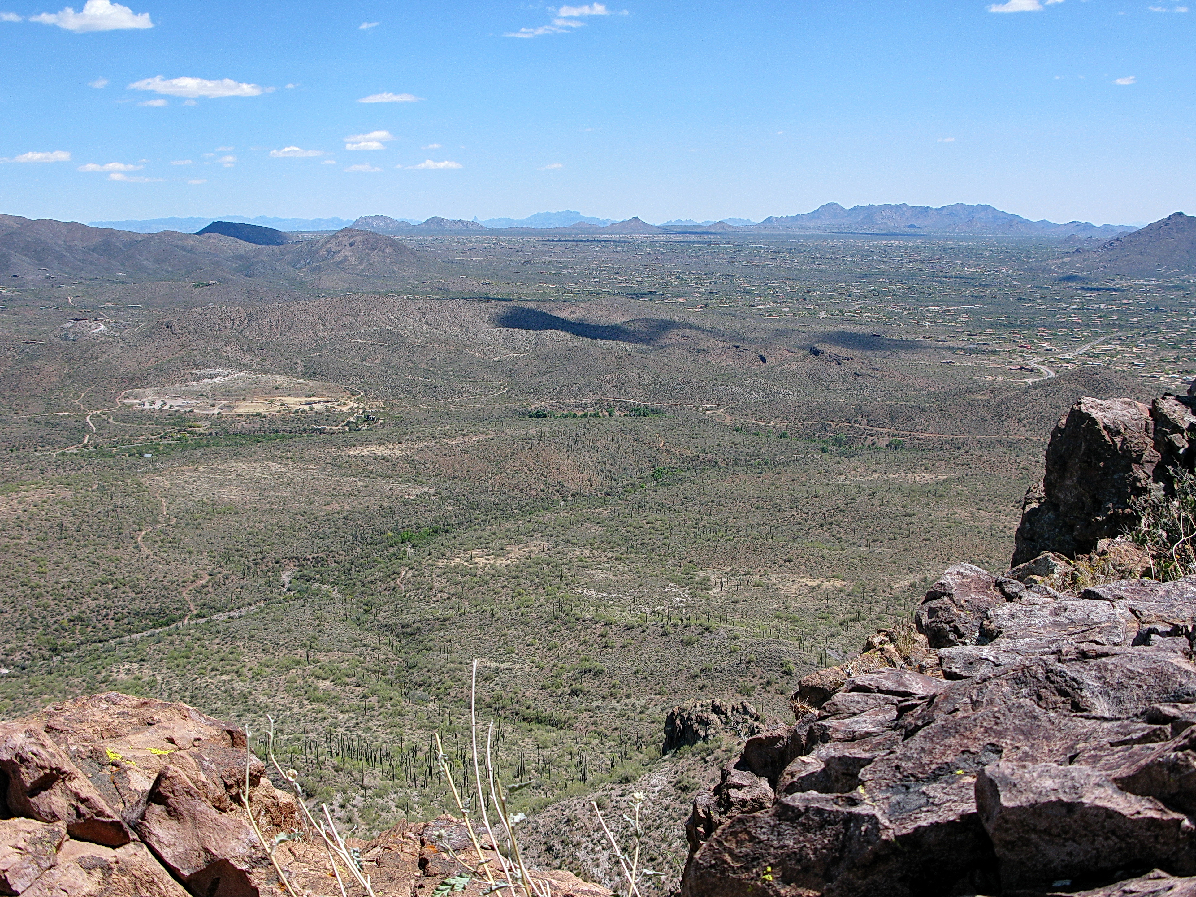
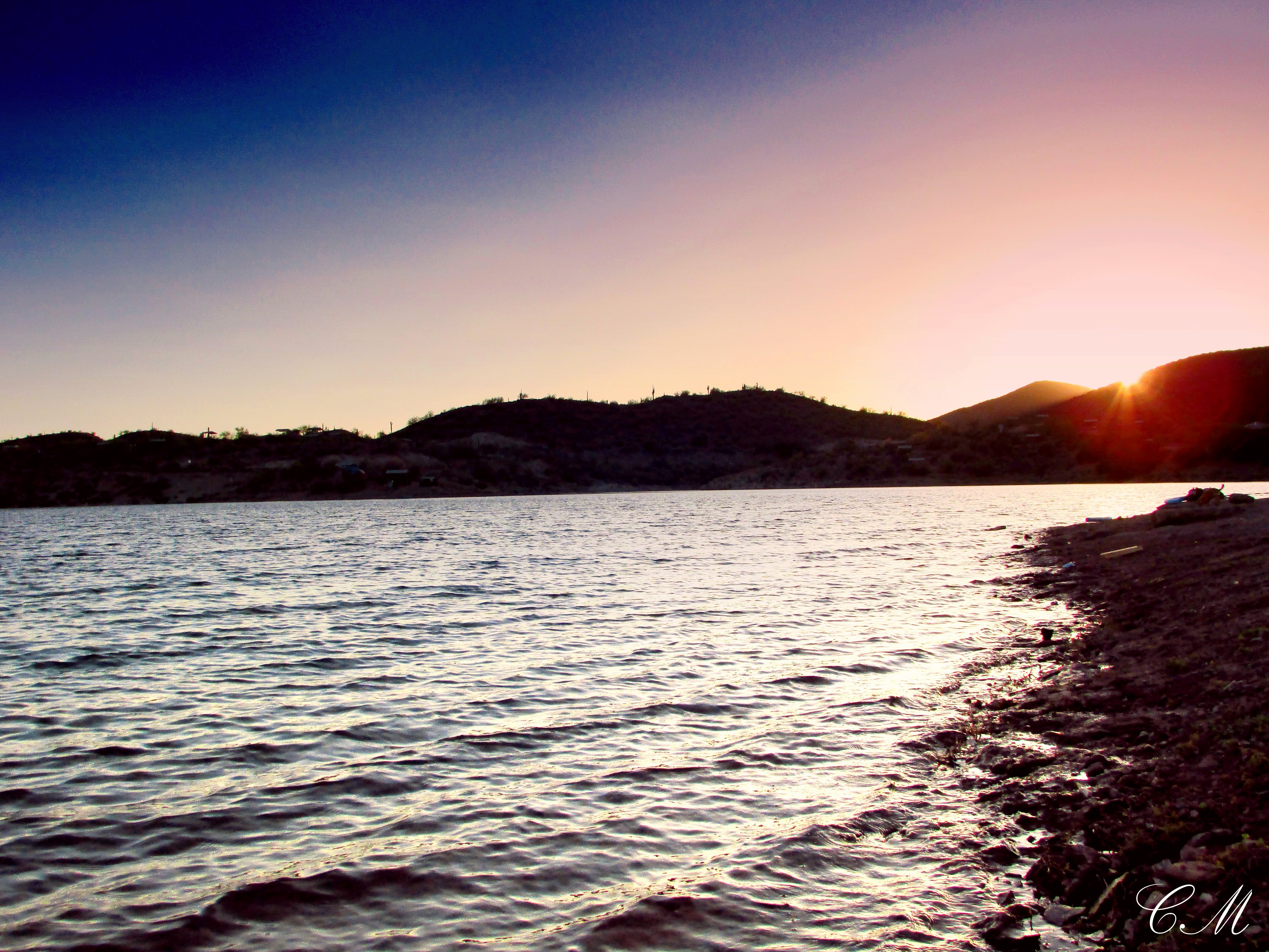
Related Photos:

Rock Springs Cafe - Dessert in the Desert !

Custom Van.1..... with a modification to the licence plate.
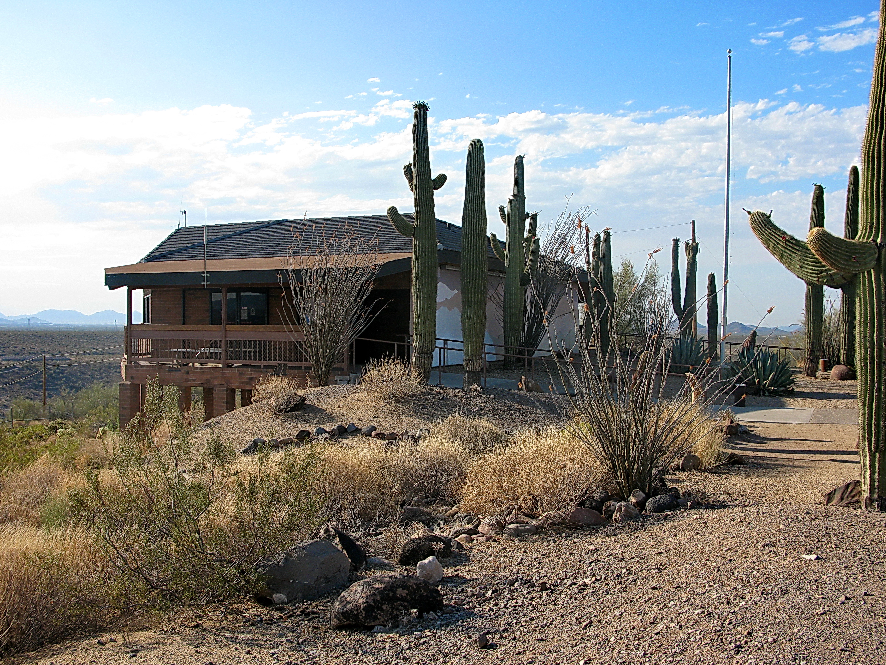
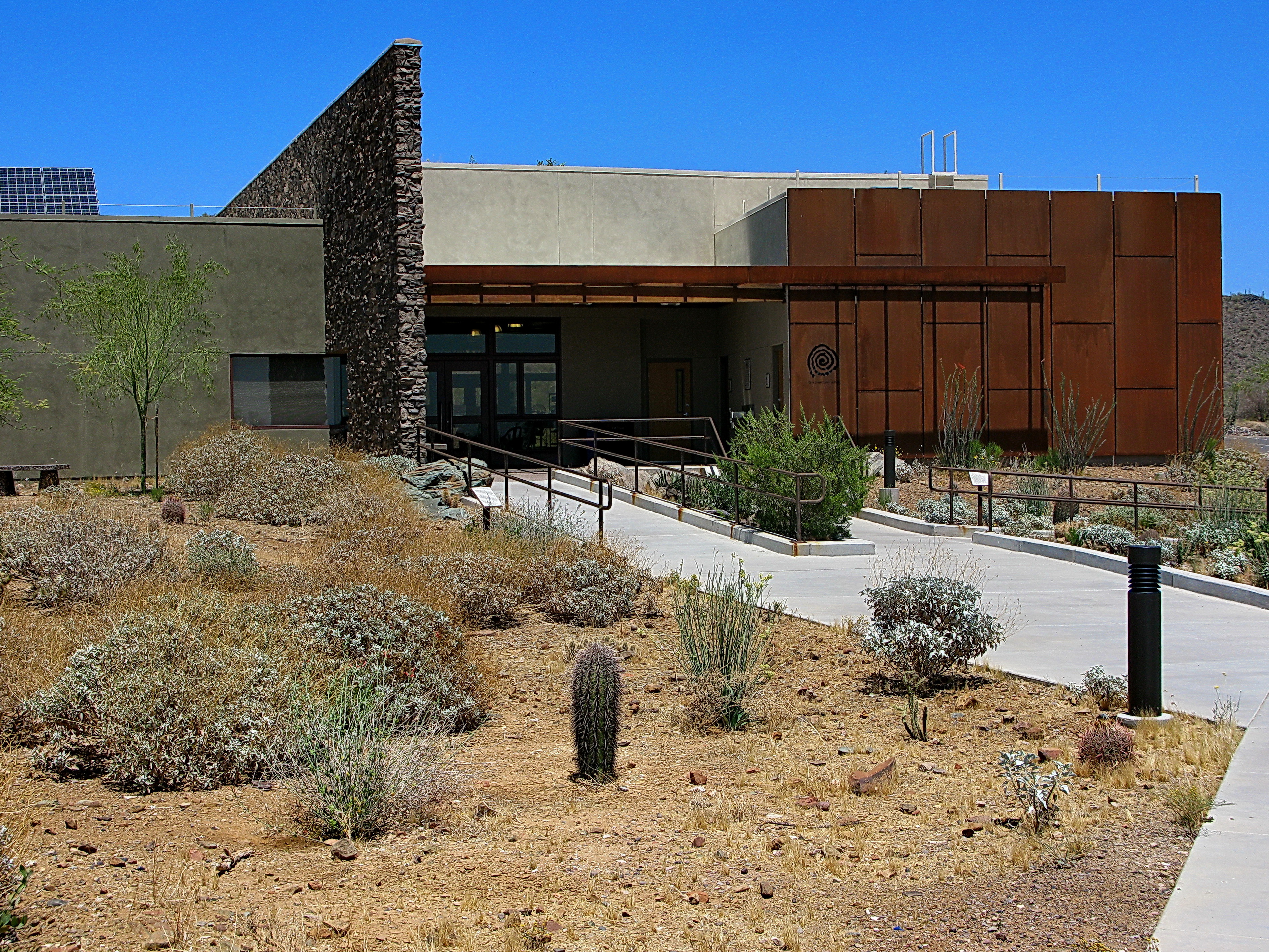
Lake Pleasant Visitor Center

View to southwest approaching Black Mesa - Spur Cross
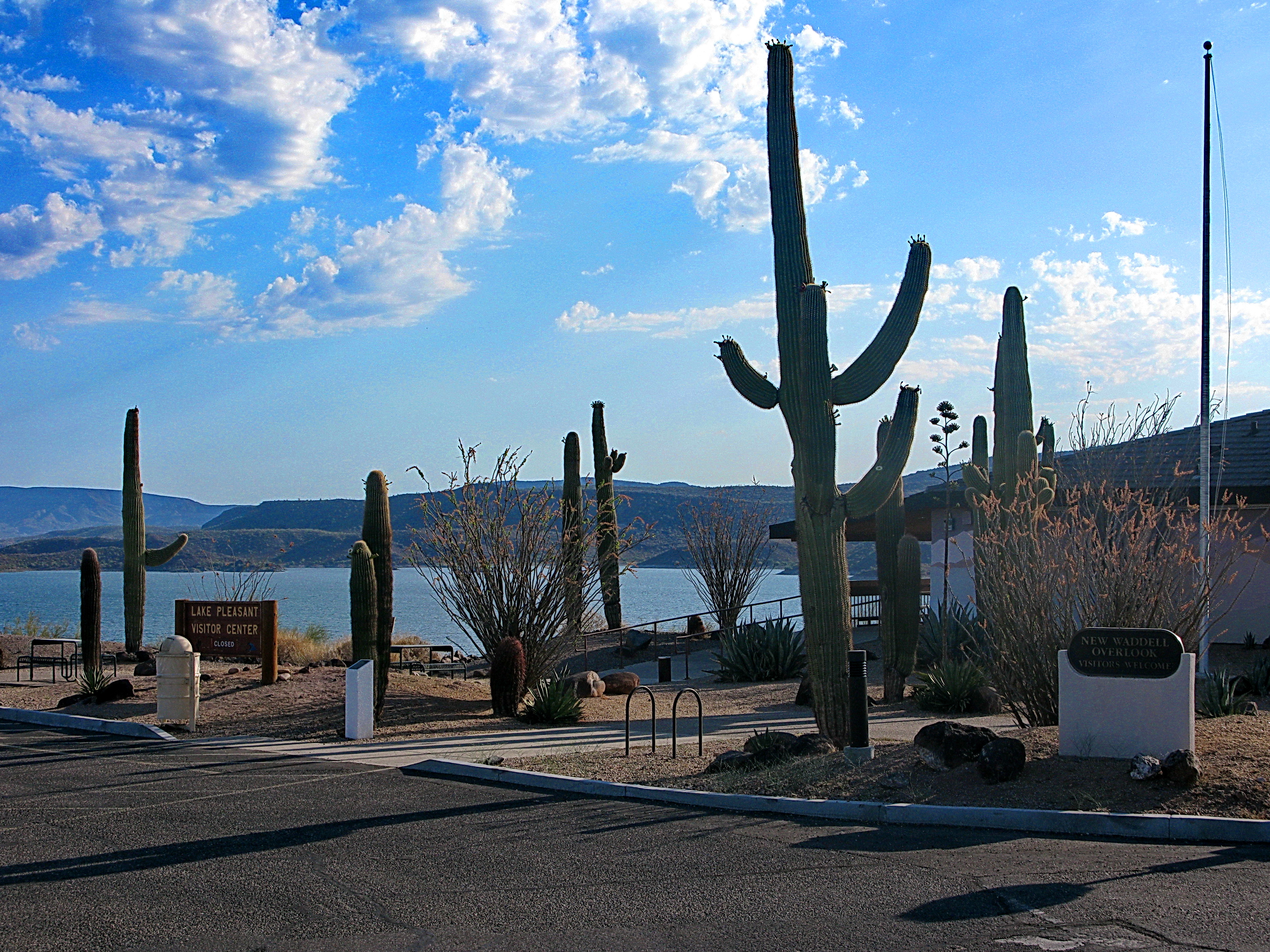
Lake Pleasant Visitor Center
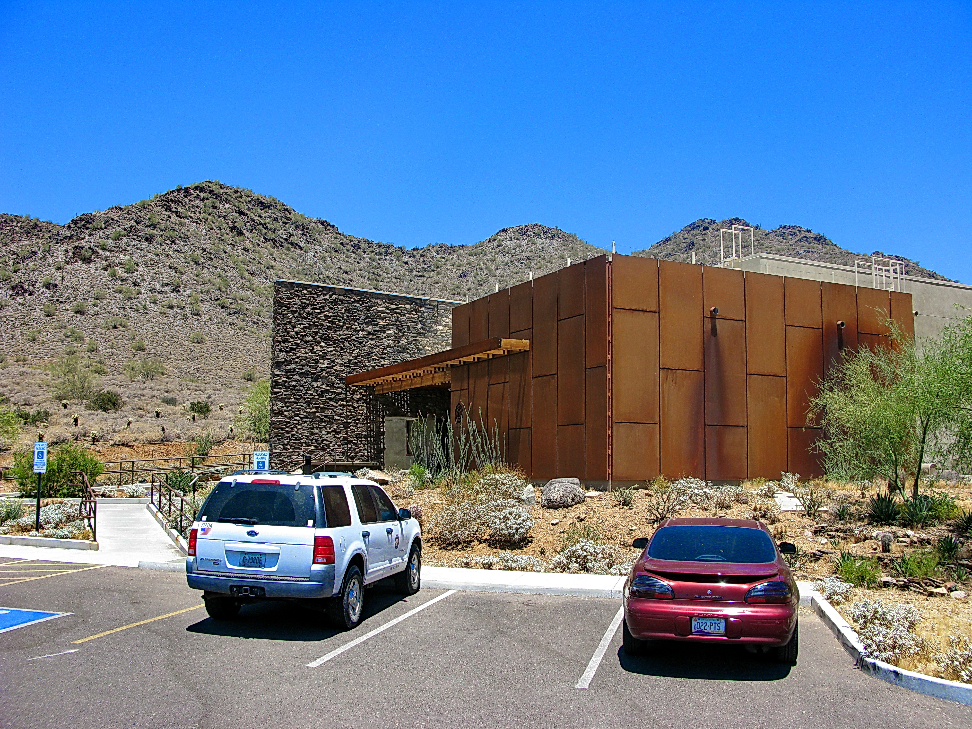
Cave Creek Recreation Area Visitor Center - LEED Certified
Desert Outdoor Center - Lake Pleasant
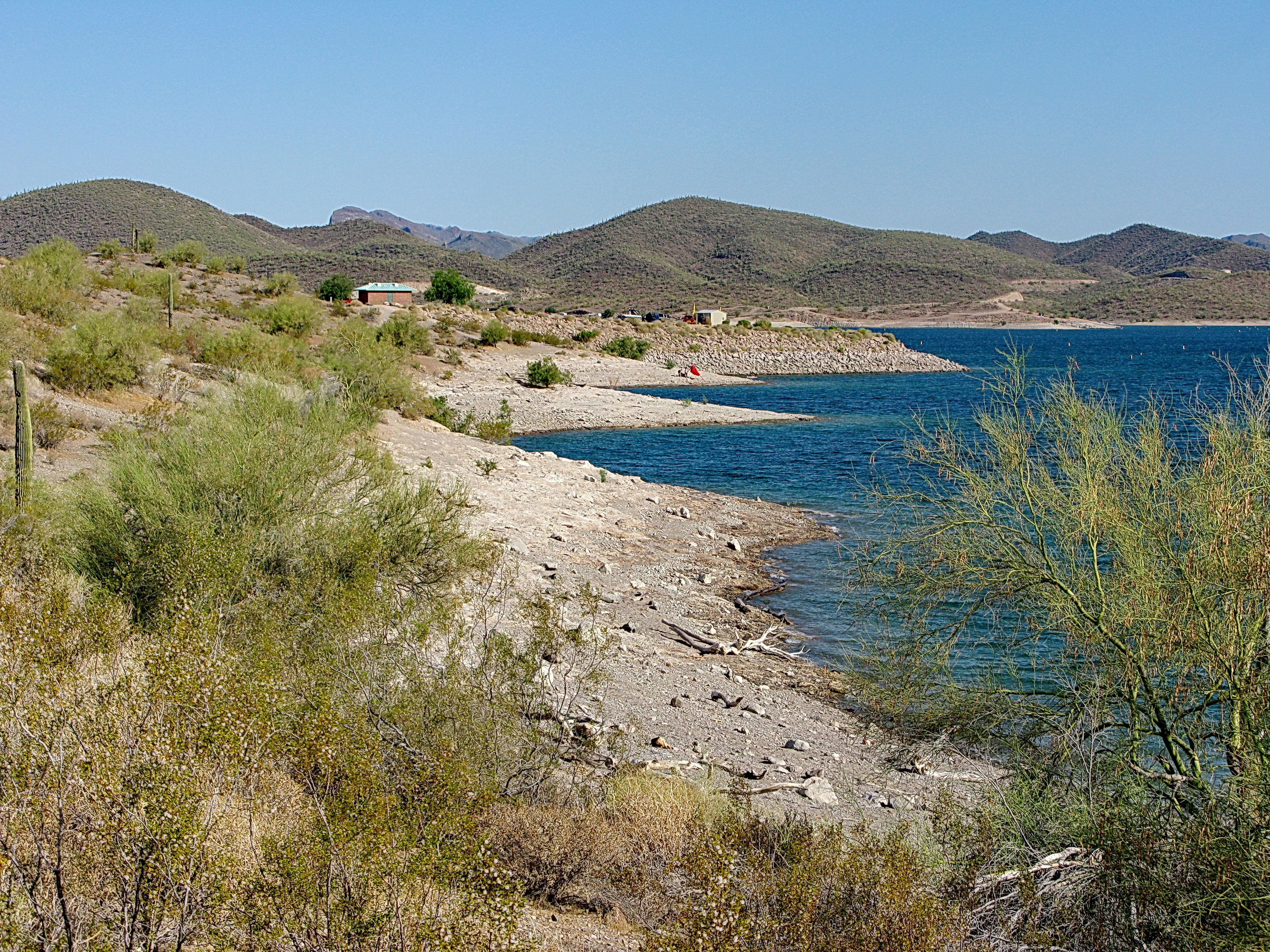
Roadrunner Trail beaches - Lake Pleasant

Sugarloaf Mountain and Skull Mesa from Black Mesa Trail - Spur Cross
Cave Creek Recreation Area Nature Center
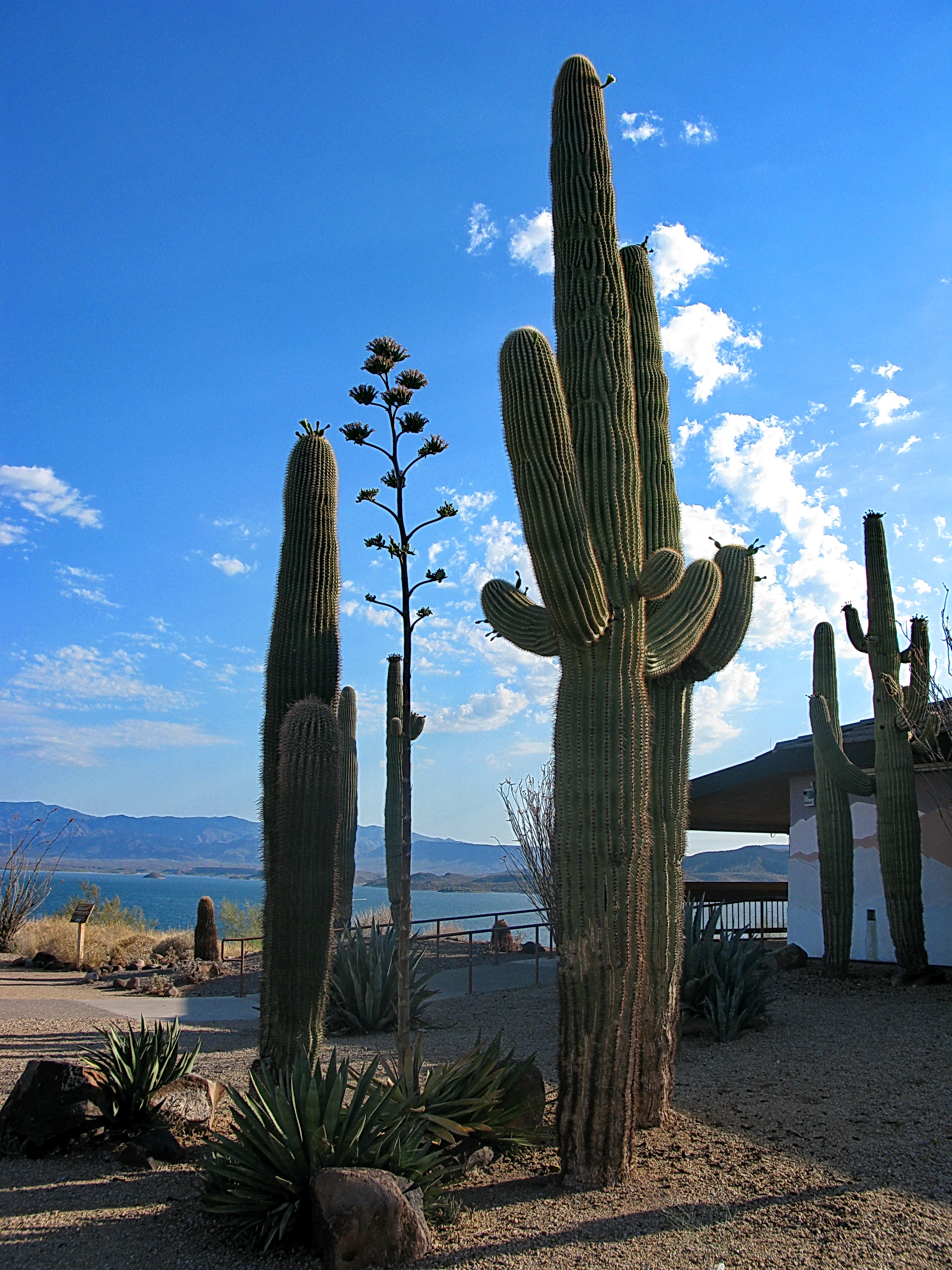
Saguaros by Lake Pleasant Visitor Center
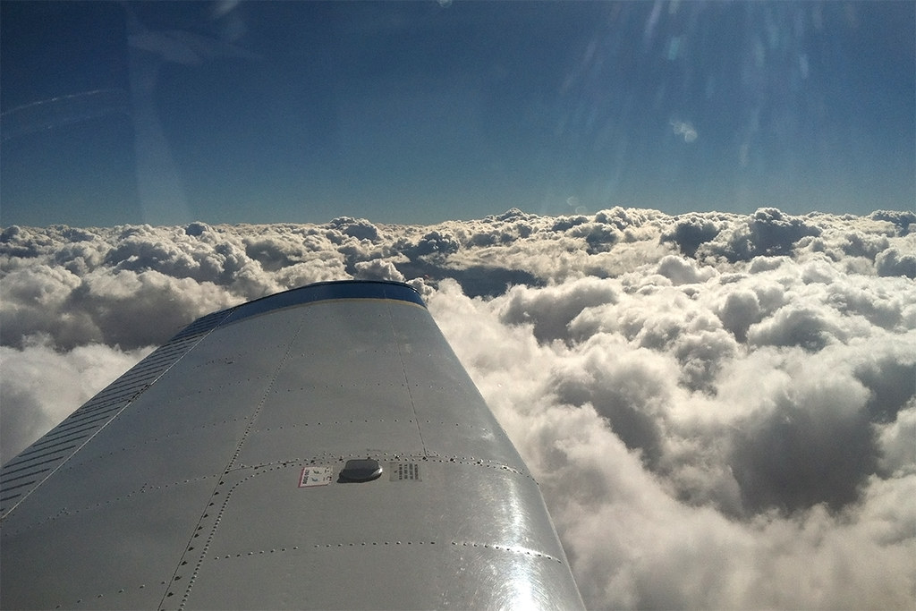
Piper Arrow
View to the west from Josh & Amber's new Apt. Nice little place!! Congrats @missambahh_93 @lpr_lighting @sikkindustries
Elephant Mountain view to east south east

Xavi on Black Canyon Trail
That day on the beach
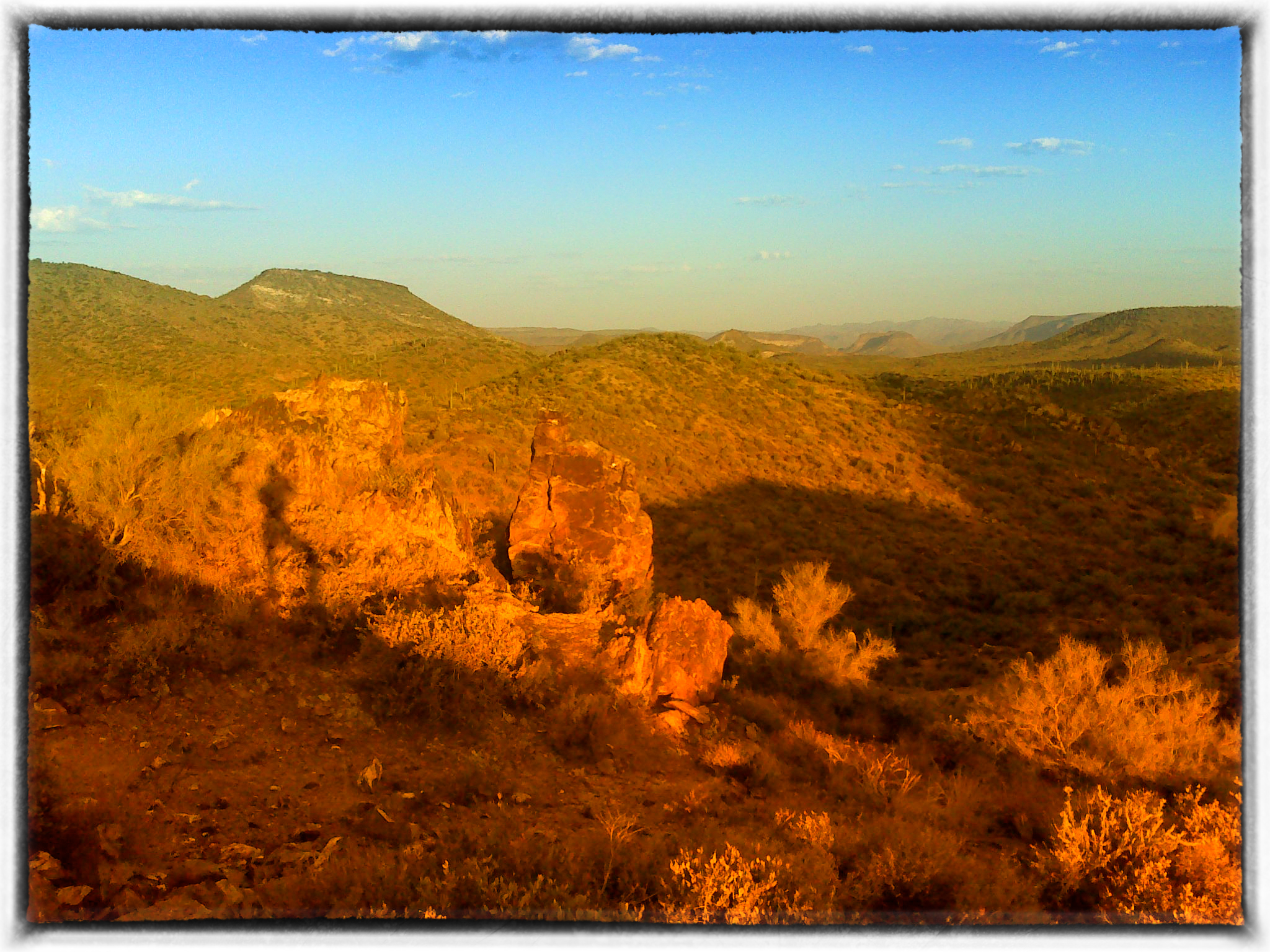
Table Mesa Rd Morning Hike

Hard life...
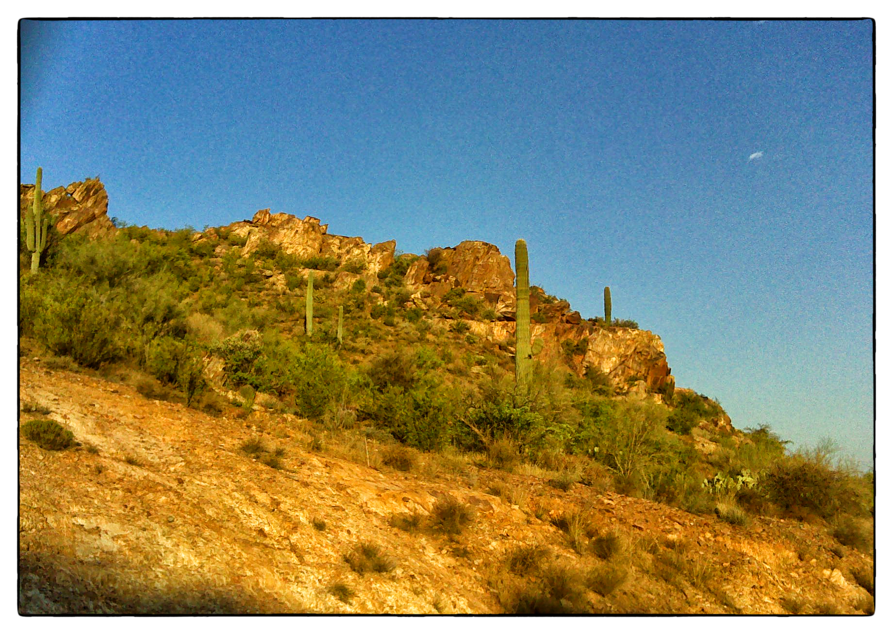
Table Mesa Rd Morning Hike
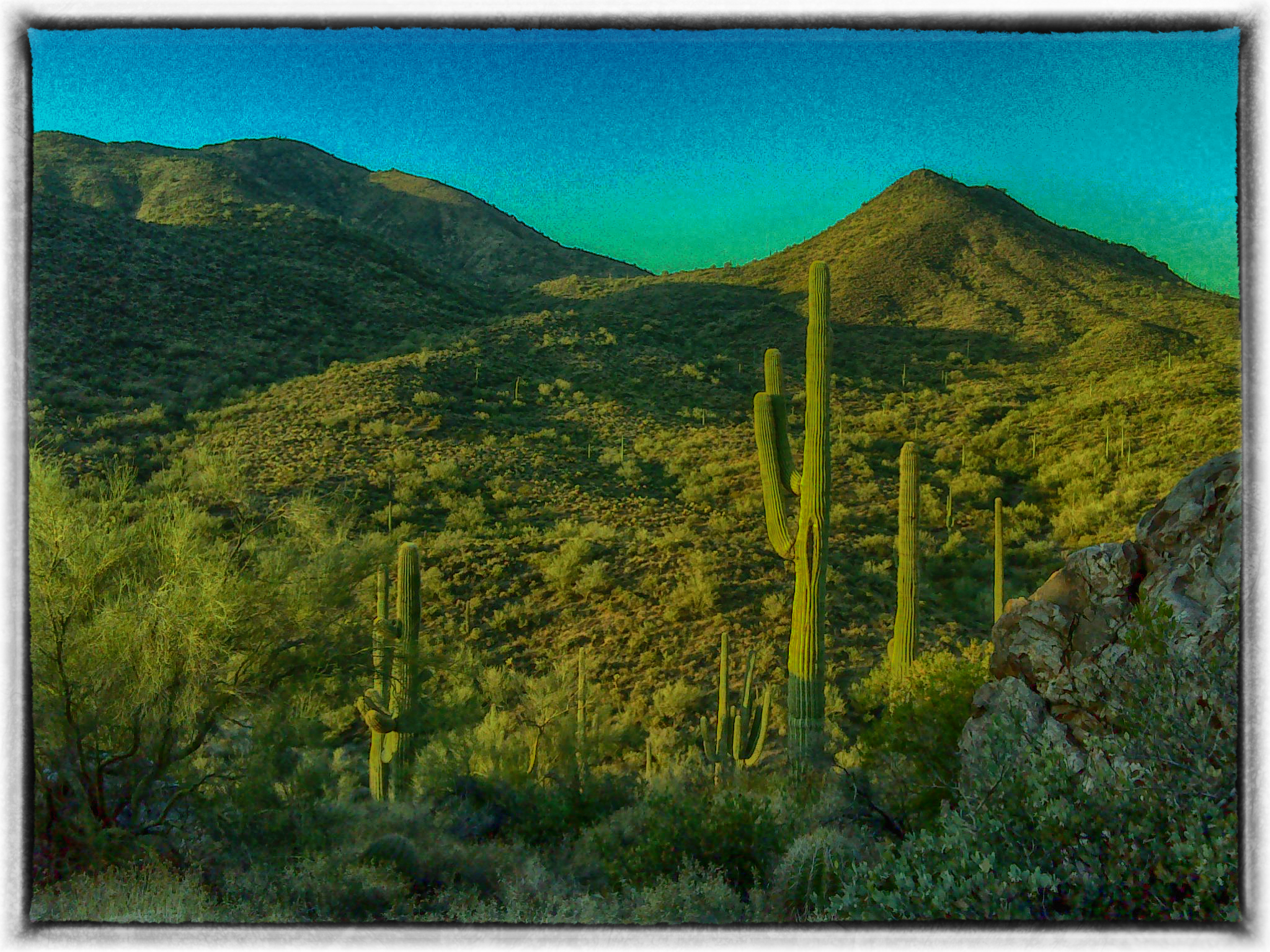
Table Mesa Rd Morning Hike

Dos Saguaros
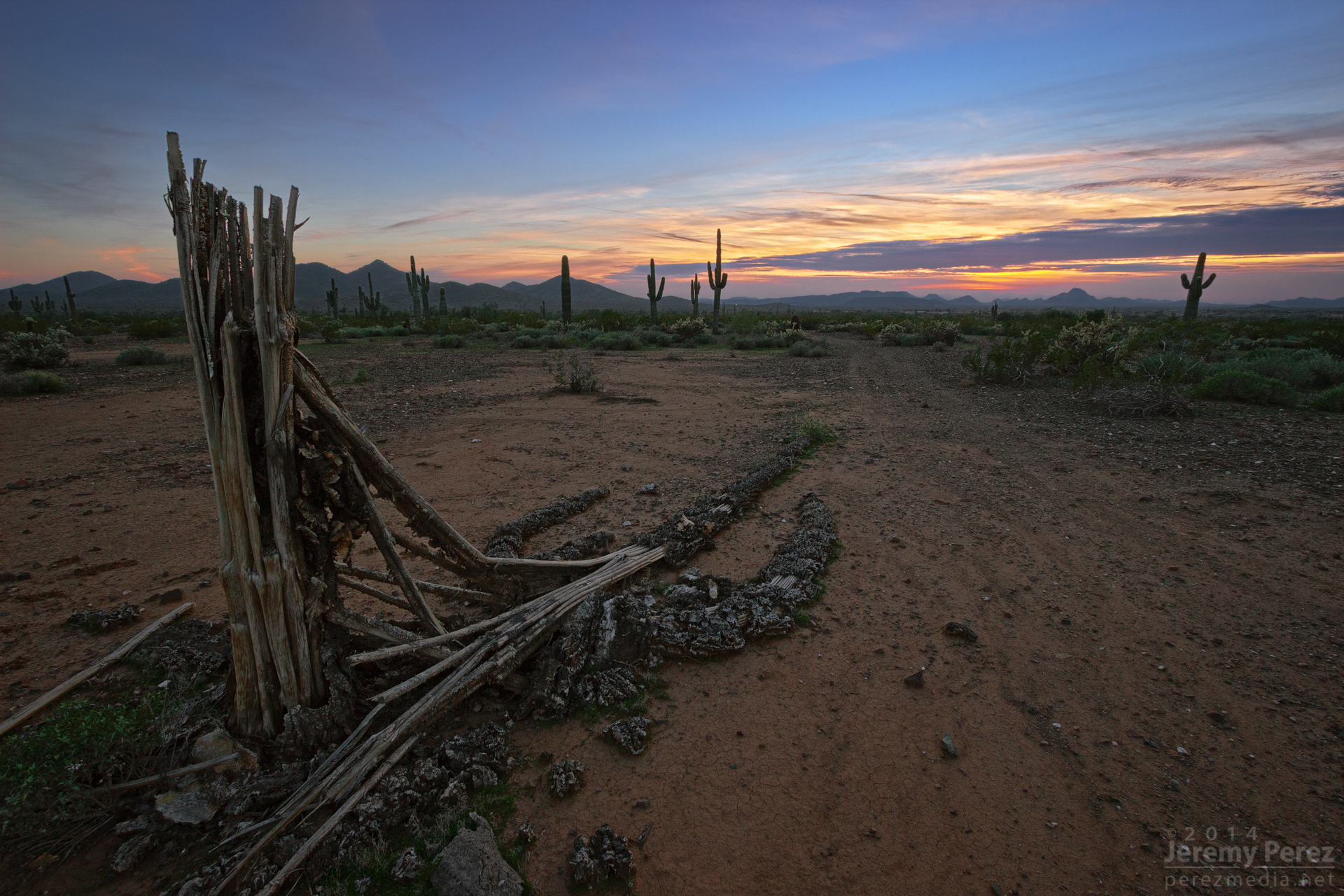
Relic of a Mighty One

The desert at dusk is so beautiful #instagramaz

Long tide. Still in AZ. #desert #cactus

Sunset time

Table Mesa Rd Morning Hike
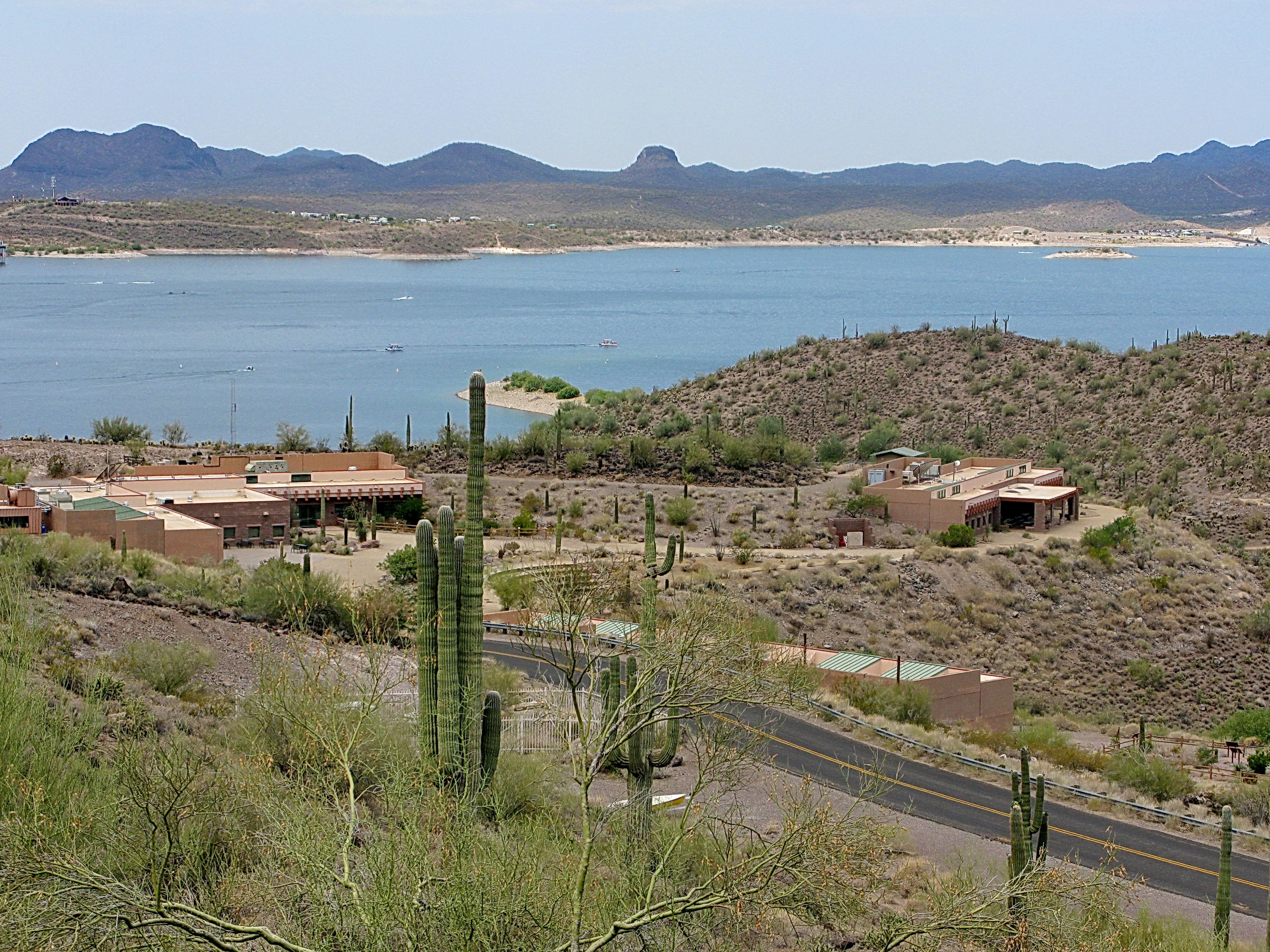
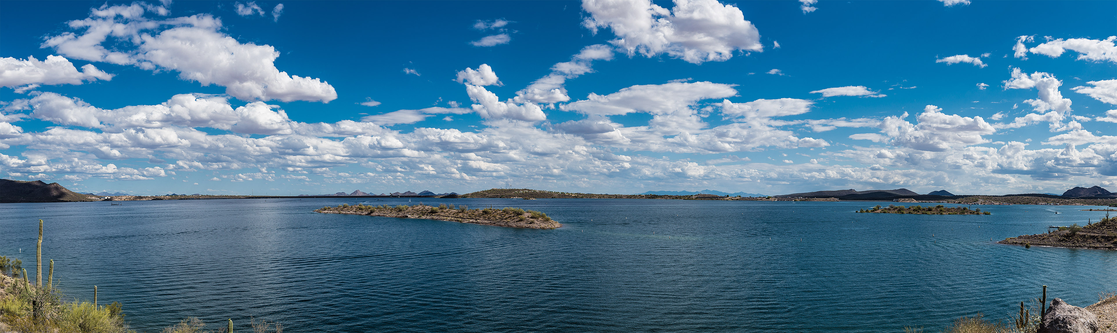
Lake Pleasant
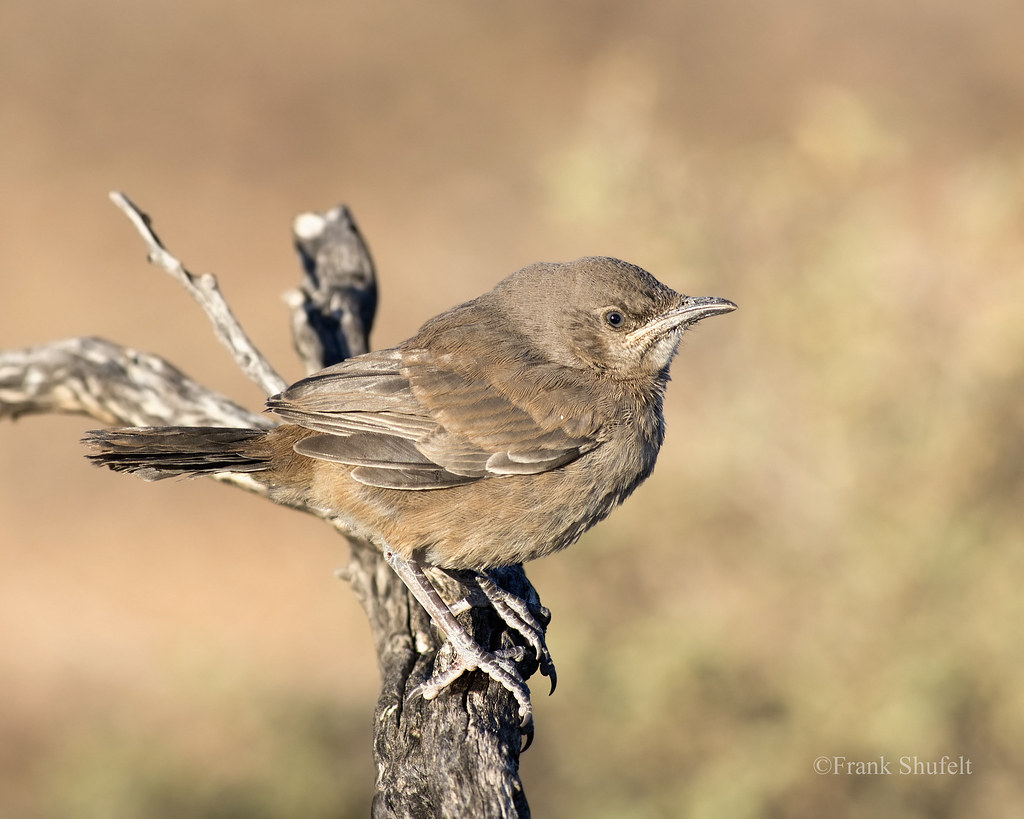
Fledgling Curve-billed Thrasher (Toxostoma curvirostre)
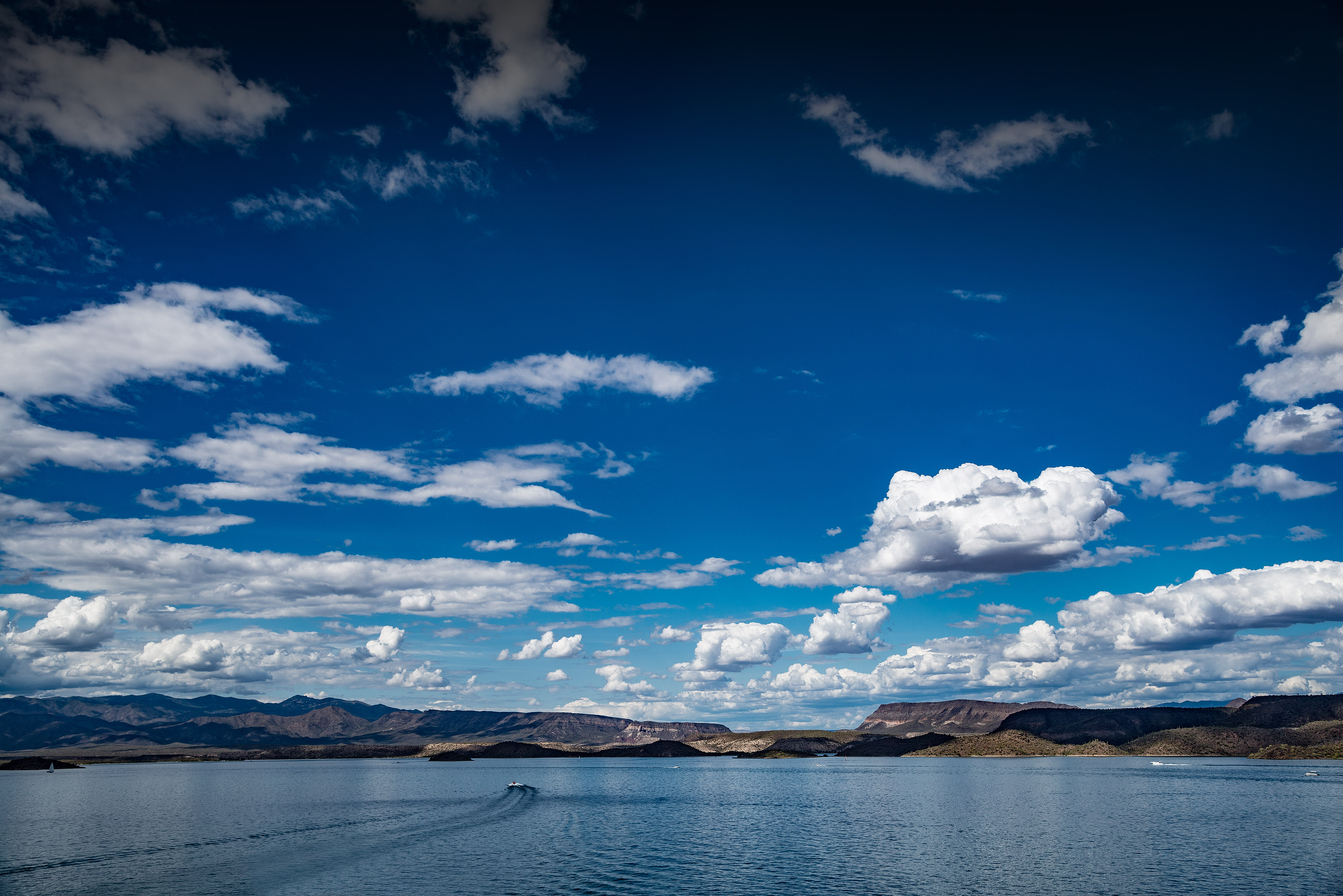
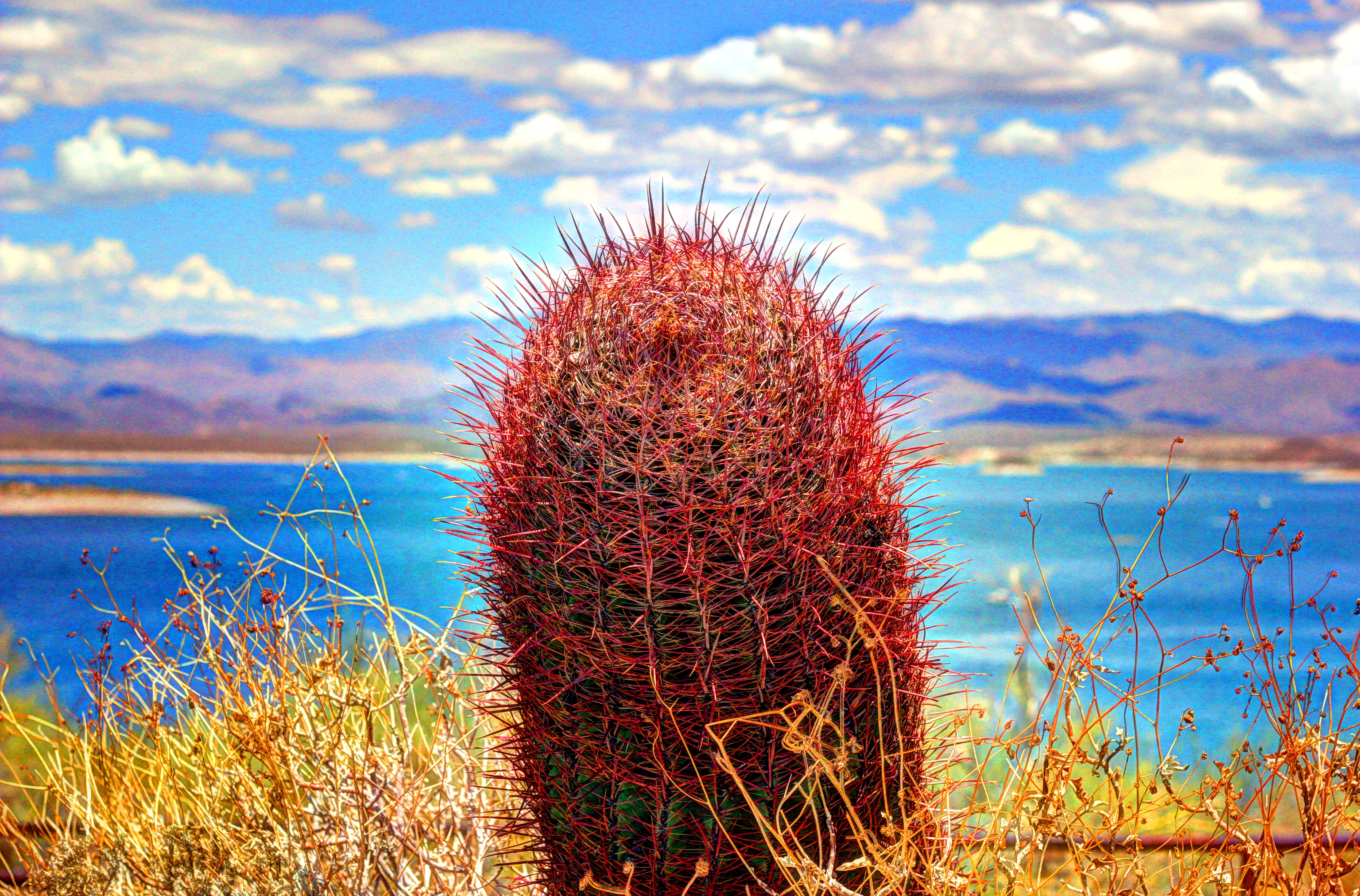
Lake Pleasant, Arizona
Lake Pleasant, Arizona
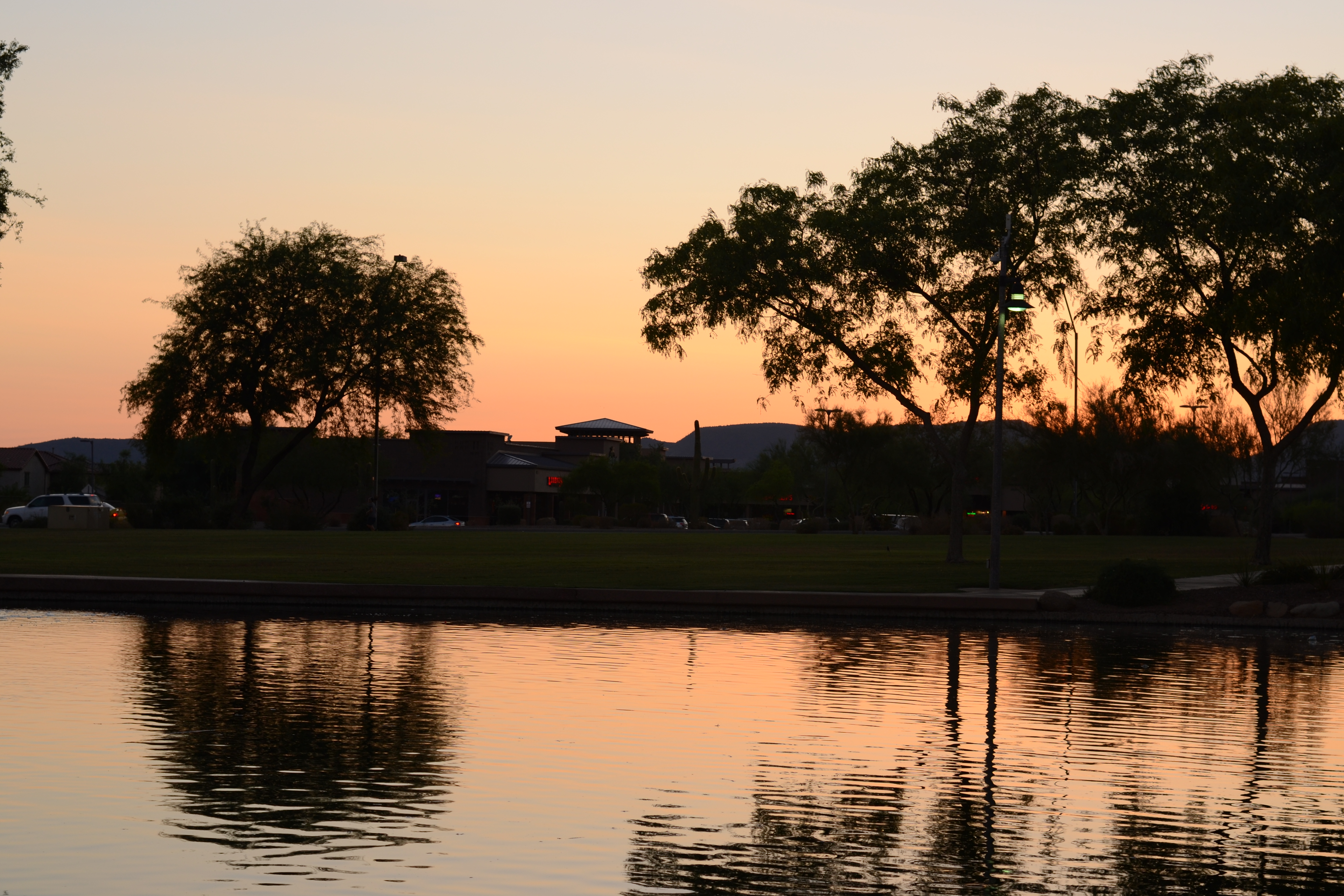
Anthem Sunset
Topographic Map of New River, AZ, USA
Find elevation by address:

Places in New River, AZ, USA:
Places near New River, AZ, USA:
West Wander Road
West Wander Road
3745 W Aracely Dr
42703 N National Trail
42138 N Anthem Heights Dr
Anthem Golf & Country Club
41707 N Golf Crest Rd
42501 N Crosswater Way
2819 W Reedy Creek Dr
2532 W Muirfield Dr
42225 N Olympic Fields Ct
40826 N Columbia Trail
3165 W Keller Dr
Anthem
3537 W Webster Ct
40325 N Exploration Trail
41606 N Signal Hill Ct
1958 W Wayne Ln
201 E Sabrosa Dr
916 W Ravina Ln
Recent Searches:
- Elevation of Rojo Ct, Atascadero, CA, USA
- Elevation of Flagstaff Drive, Flagstaff Dr, North Carolina, USA
- Elevation of Avery Ln, Lakeland, FL, USA
- Elevation of Woolwine, VA, USA
- Elevation of Lumagwas Diversified Farmers Multi-Purpose Cooperative, Lumagwas, Adtuyon, RV32+MH7, Pangantucan, Bukidnon, Philippines
- Elevation of Homestead Ridge, New Braunfels, TX, USA
- Elevation of Orchard Road, Orchard Rd, Marlborough, NY, USA
- Elevation of 12 Hutchinson Woods Dr, Fletcher, NC, USA
- Elevation of Holloway Ave, San Francisco, CA, USA
- Elevation of Norfolk, NY, USA