Elevation of N White Tail Ln, Anthem, AZ, USA
Location: United States > Arizona > Maricopa County > New River > Anthem >
Longitude: -112.09628
Latitude: 33.8451025
Elevation: 572m / 1877feet
Barometric Pressure: 95KPa
Elevation Map:
Satellite Map:
Related Photos:

All I Asked Was, "Which Way?"

Social Media Marketing Mix

Elephant Mountain Sunrise

Cool Retro AZ Diner Sign: Big Earl's Greasy Eats, Cave Creek, View to the East

Computer Data Hacker
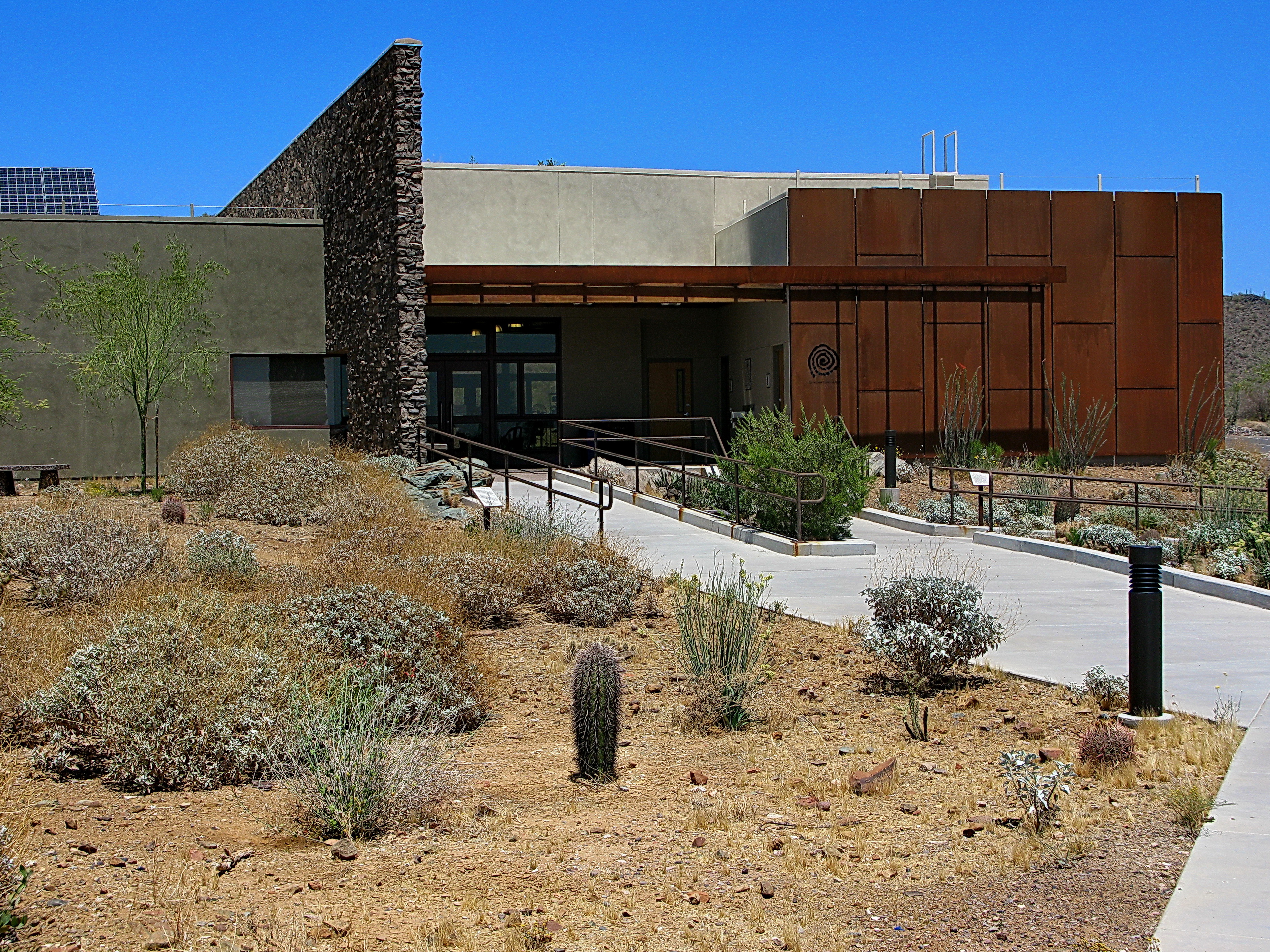
Cave Creek Recreation Area Nature Center

Retro Diner, Red Arrow Sign: Big Earl's Greasy Eats, Cave Creek, Street View to West, Cave Creek, AZ
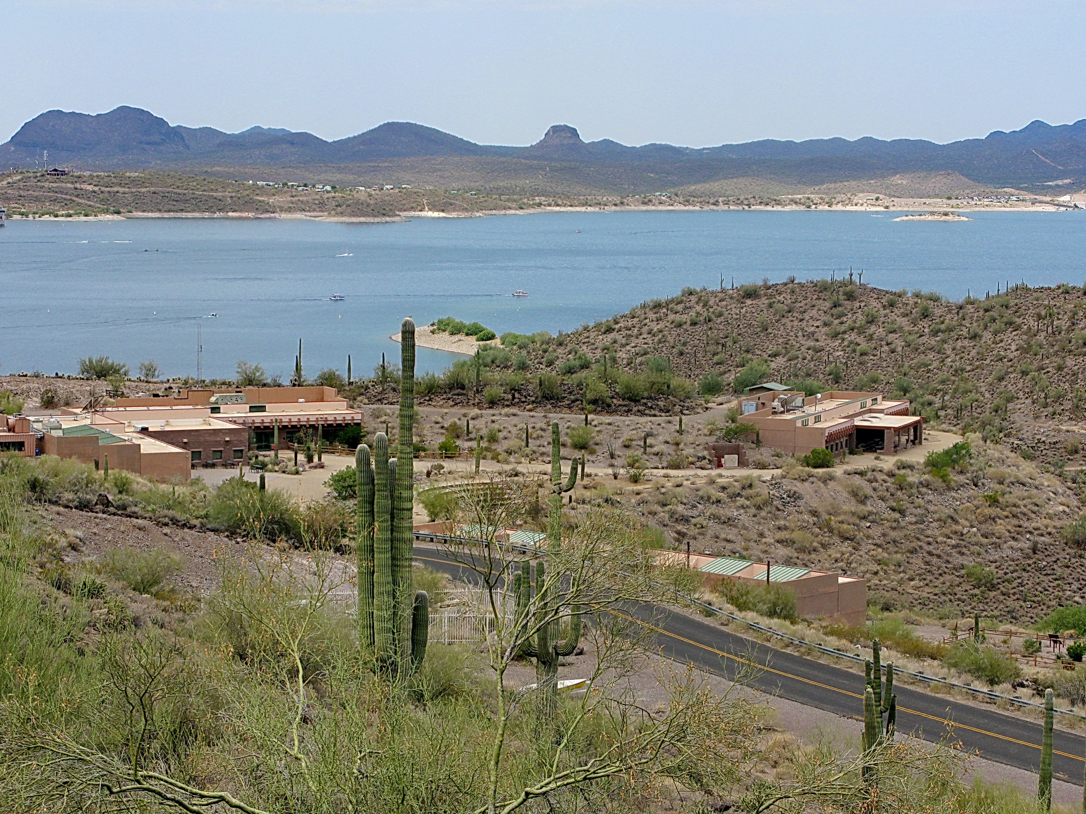
Desert Outdoor Center - Lake Pleasant
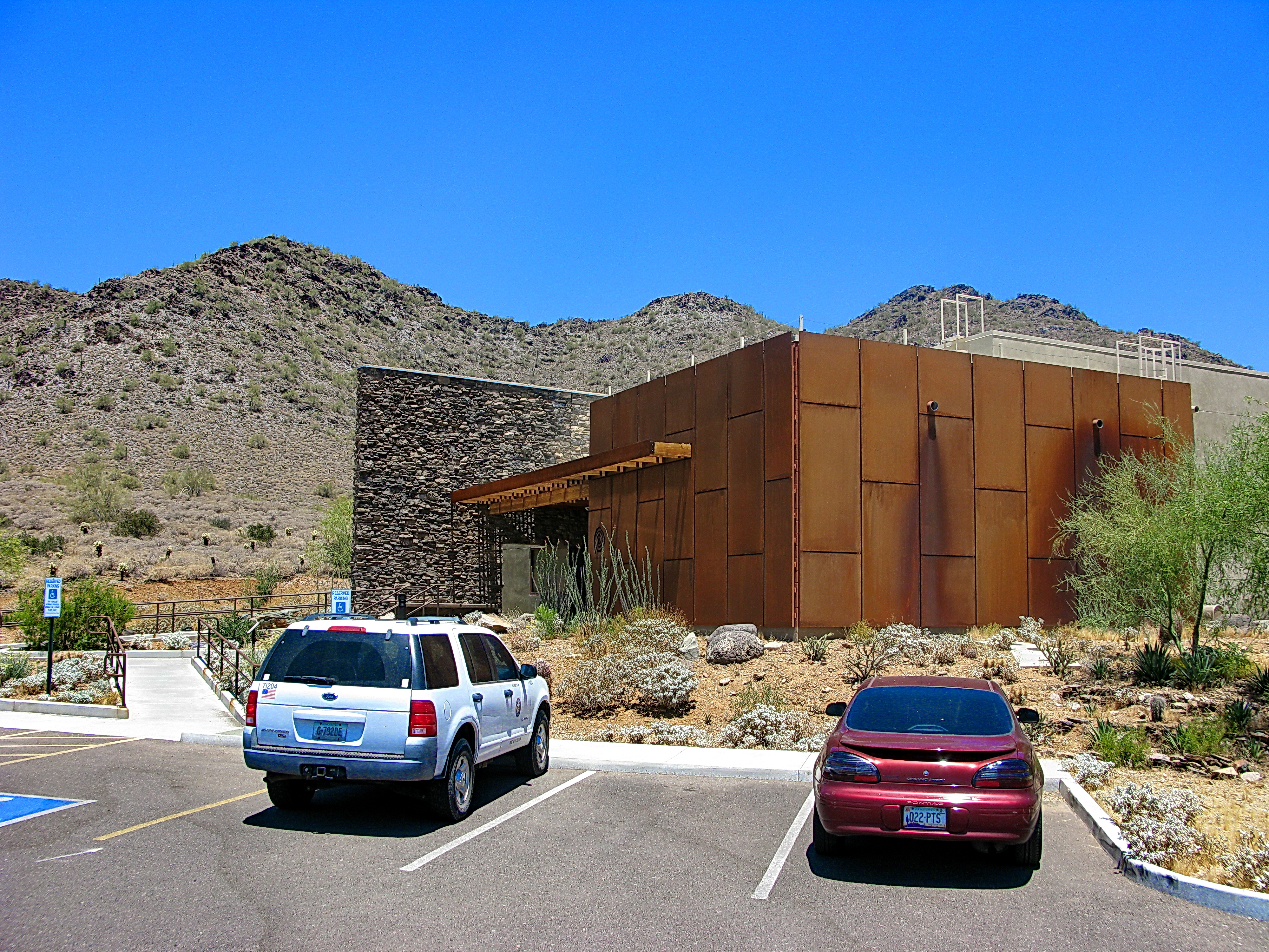
Cave Creek Recreation Area Visitor Center - LEED Certified

Spotlight on Android
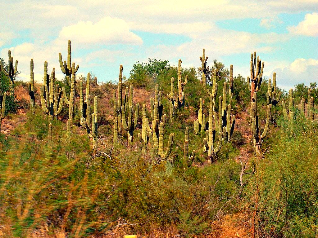
Desert Forest

Sun view

The evening view from Black Mountain.

Cool Retro Diner Arrow Sign: Big Earl's Greasy Eats, Cave Creek, Close-up, West View
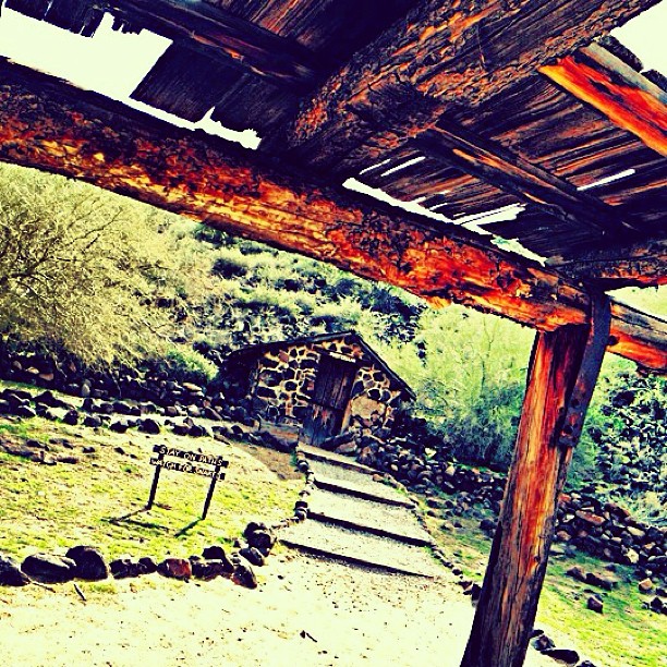
View from rickety old porch. #igers #igdaily #igersaz #instaaz #insta_america #ig_captures #iphoneonly #ic_nature #ic_landscapes #desert
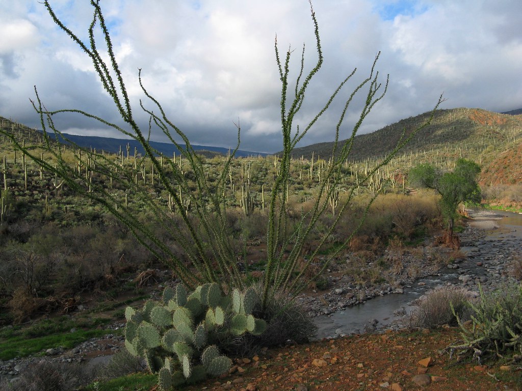
El Niño Desert
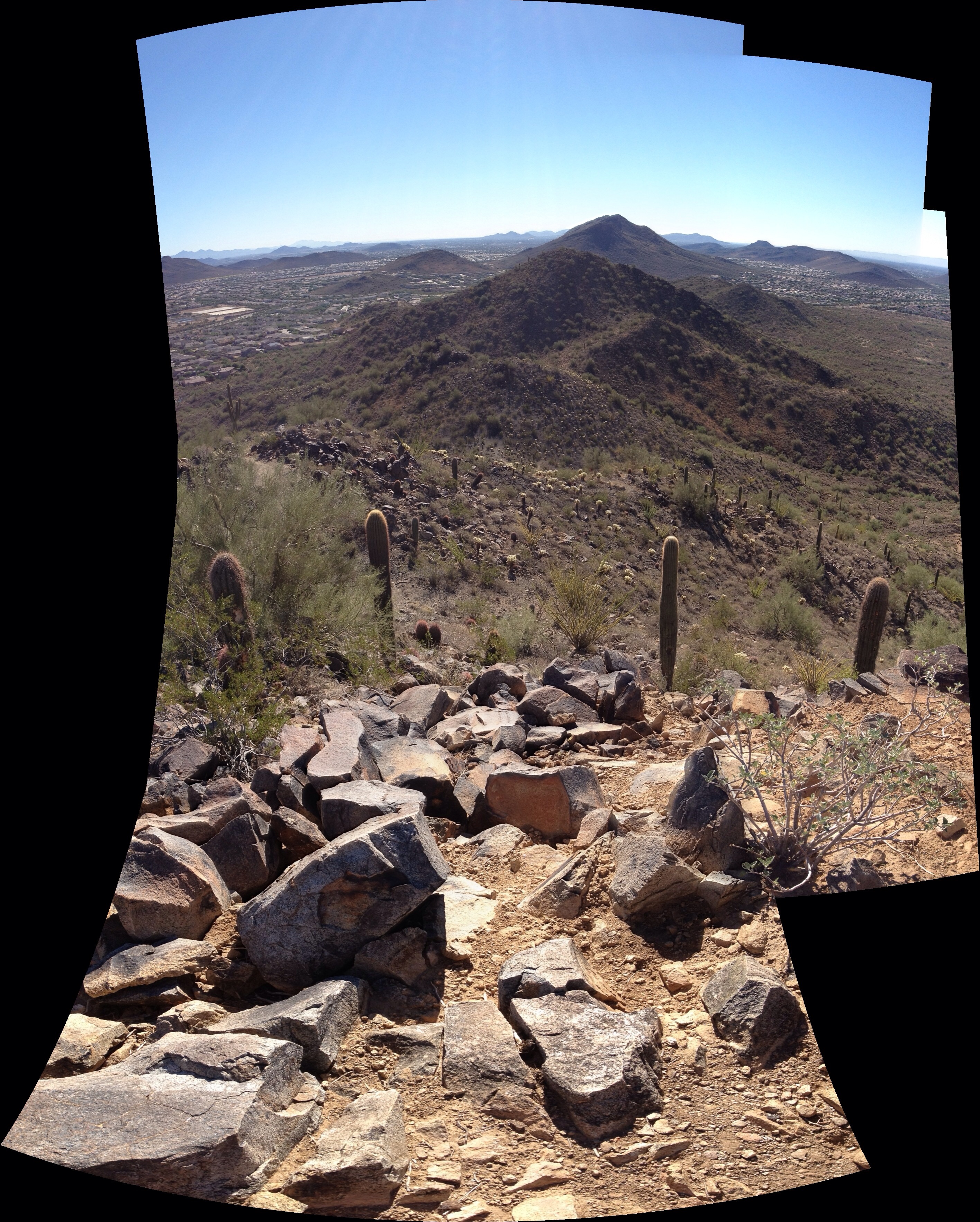
View from East Wing Mountain

View to southwest approaching Black Mesa - Spur Cross
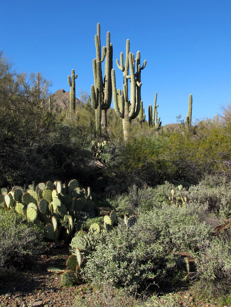
Desert Green Scene

Sugarloaf Mountain and Skull Mesa from Black Mesa Trail - Spur Cross
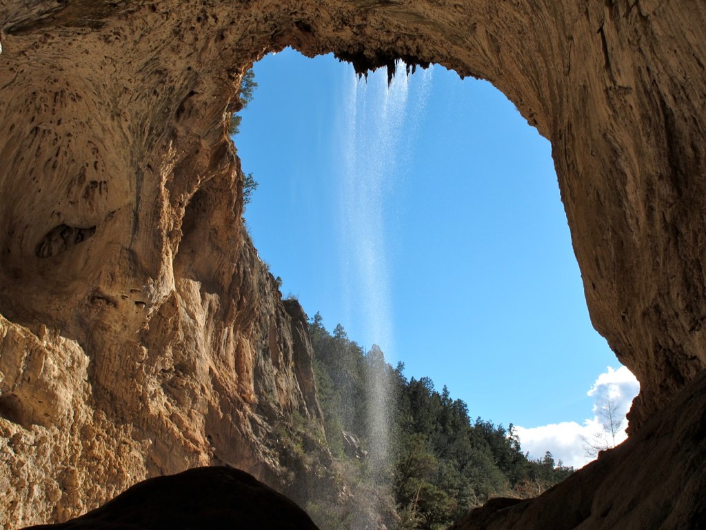
39. A landscape view looking south from underneath the Tonto Natural Bridge

The dog on the shore

Hard life...

The pleasant sunsets

Welcome to Arizona. Here's a (tone)Map of the Area!
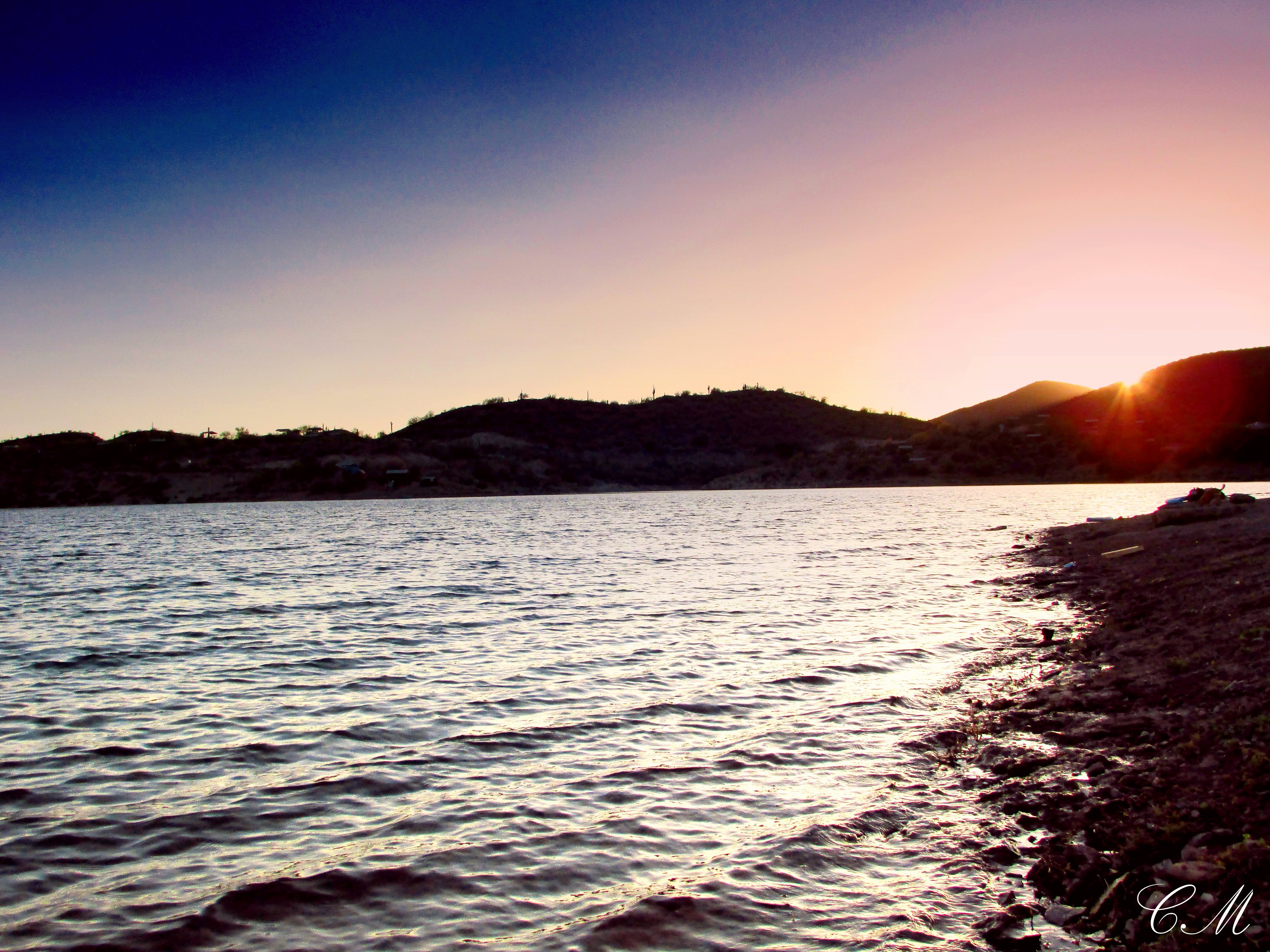
That day on the beach
farewell cave creek

Xavi on Black Canyon Trail

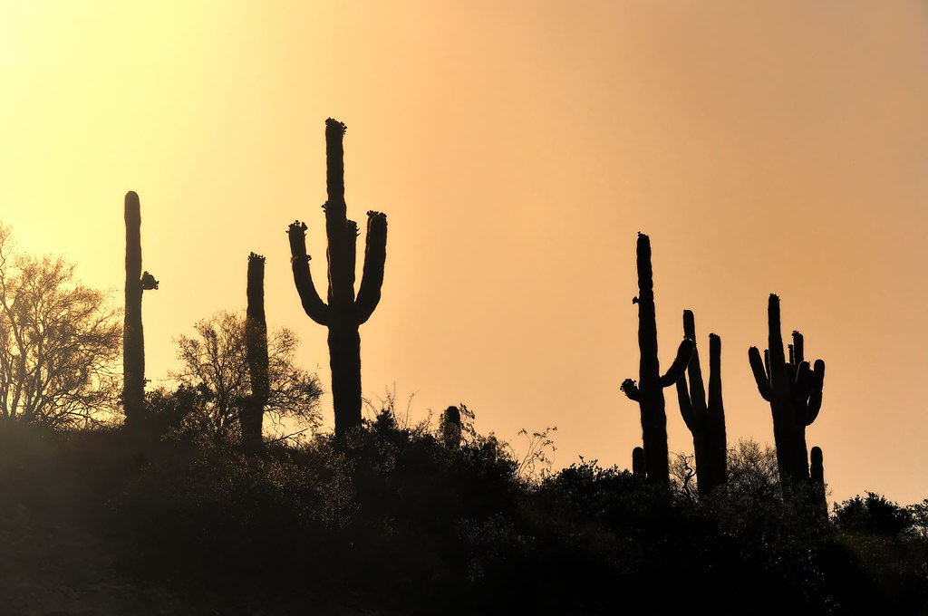
Cactus Sunset

Arizona sunset
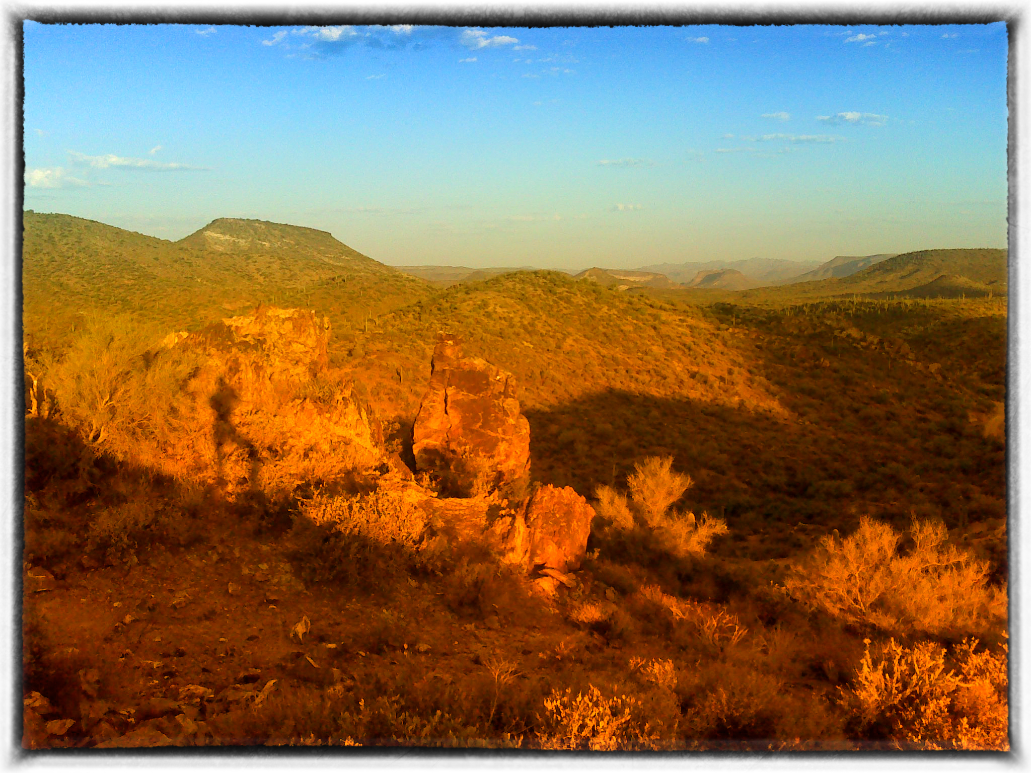
Table Mesa Rd Morning Hike

Where mountain meets sky
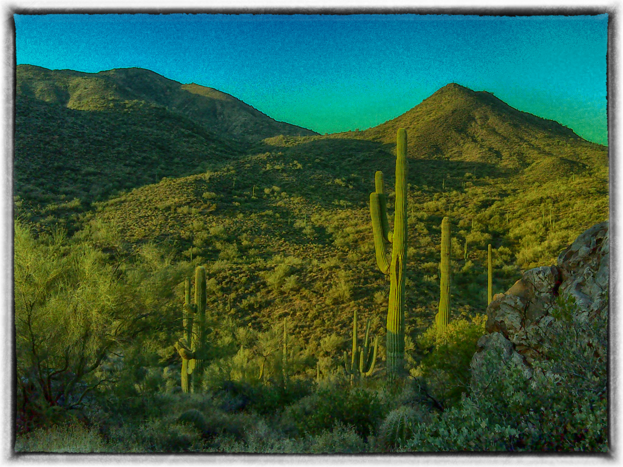
Table Mesa Rd Morning Hike

Table Mesa Rd Morning Hike
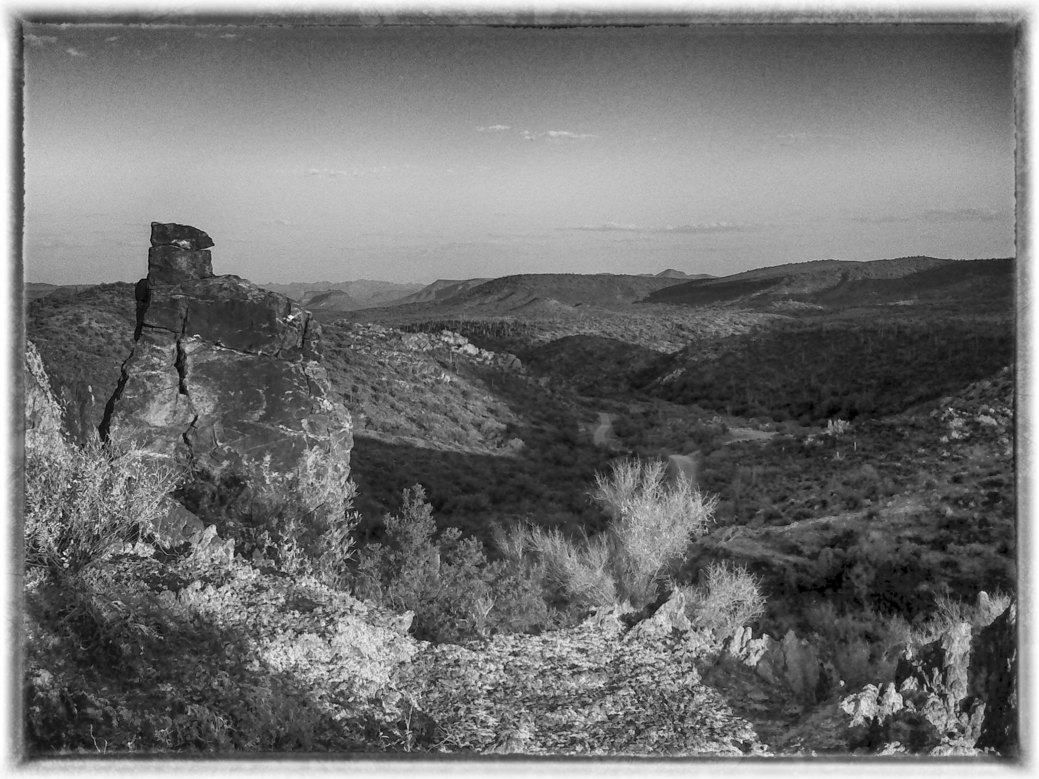
Table Mesa Rd Morning Hike
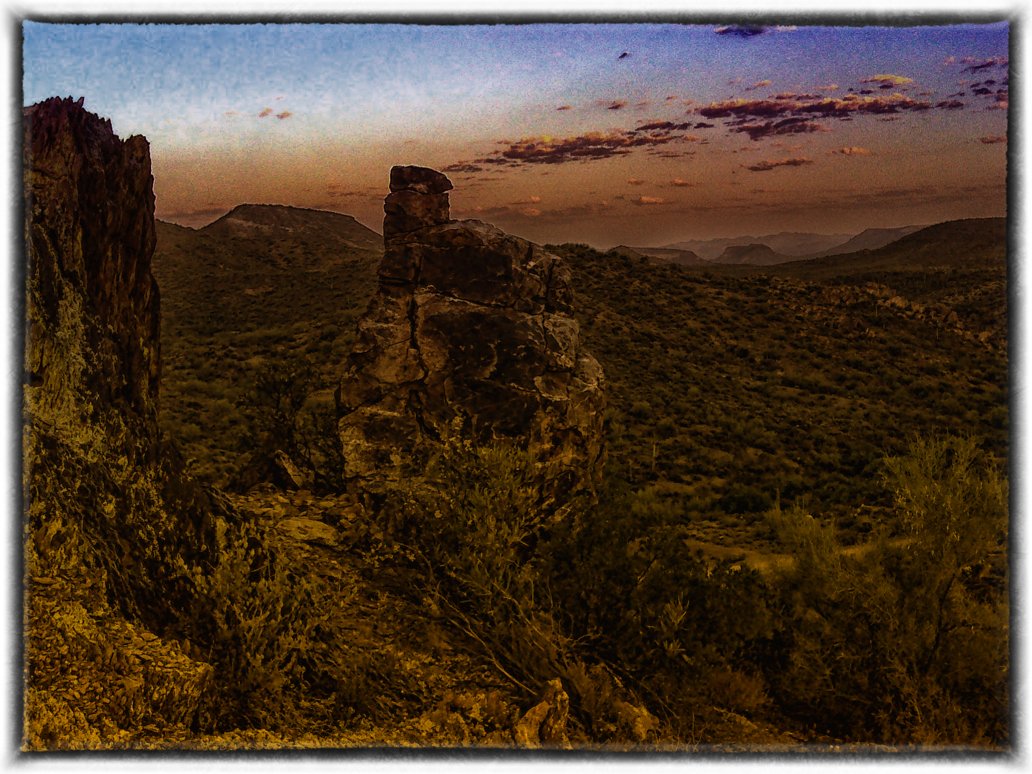
Table Mesa Rd Morning Hike
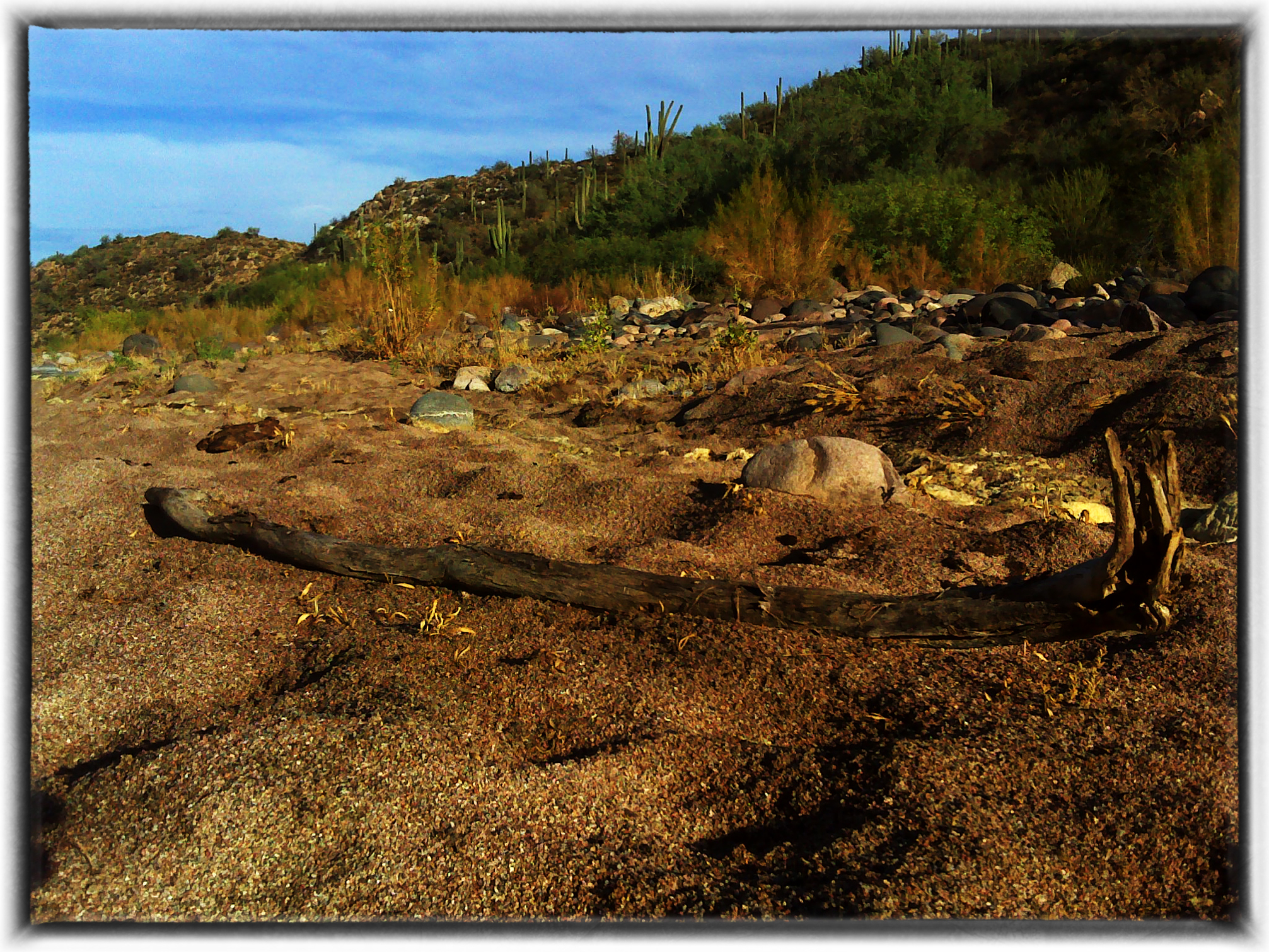
Table Mesa Area Arizona

Hiking with the hounds.
Phoenix, Arizona

Anthem Sunset
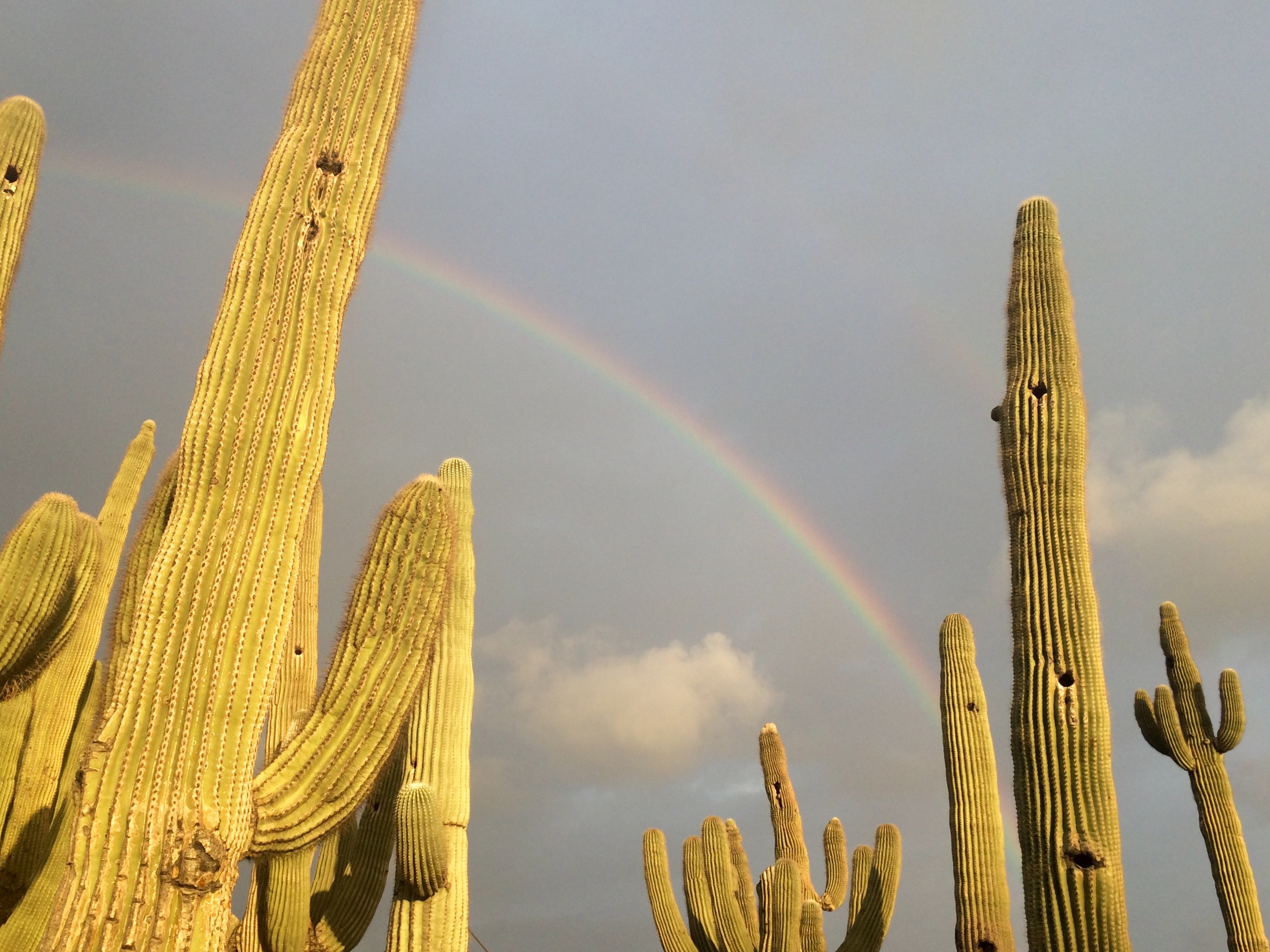
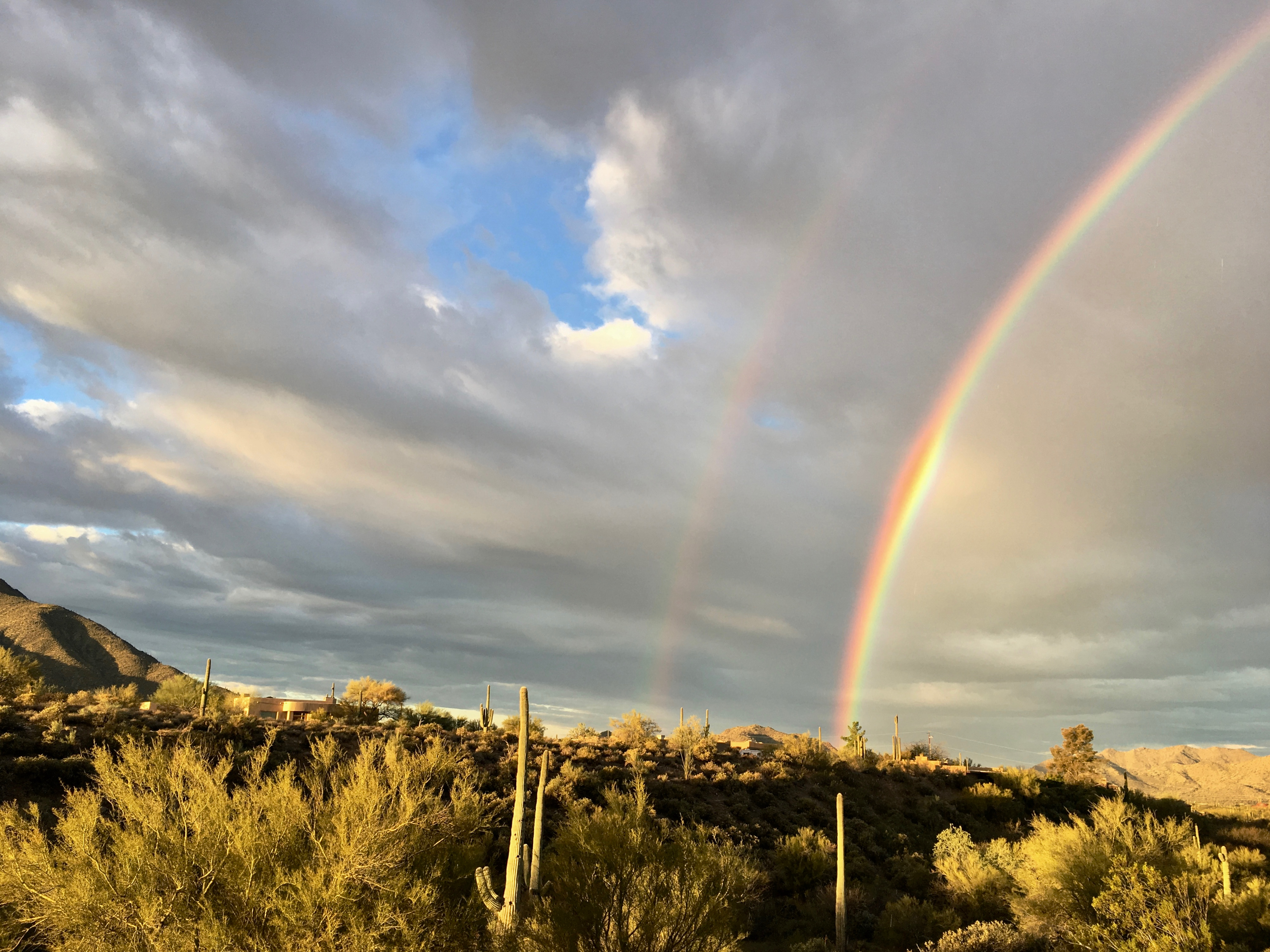
Rainbow and Saguaros
Topographic Map of N White Tail Ln, Anthem, AZ, USA
Find elevation by address:

Places near N White Tail Ln, Anthem, AZ, USA:
1767 W Owens Way
1619 W Owens Way
1771 W Morse Dr
2102 W Hidden Treasure Way
40712 N Long Landing Ct
39805 7th Ave
1958 W Wayne Ln
41606 N Signal Hill Ct
909 W Hazelhurst Dr
2407 W Desert Ranch Rd
Phoenix, AZ, USA
42225 N Olympic Fields Ct
12 E Irvine Rd
2532 W Muirfield Dr
916 W Ravina Ln
42501 N Crosswater Way
2819 W Reedy Creek Dr
42138 N Anthem Heights Dr
Anthem
3165 W Keller Dr
Recent Searches:
- Elevation of 6 Rue Jules Ferry, Beausoleil, France
- Elevation of Sattva Horizon, 4JC6+G9P, Vinayak Nagar, Kattigenahalli, Bengaluru, Karnataka, India
- Elevation of Great Brook Sports, Gold Star Hwy, Groton, CT, USA
- Elevation of 10 Mountain Laurels Dr, Nashua, NH, USA
- Elevation of 16 Gilboa Ln, Nashua, NH, USA
- Elevation of Laurel Rd, Townsend, TN, USA
- Elevation of 3 Nestling Wood Dr, Long Valley, NJ, USA
- Elevation of Ilungu, Tanzania
- Elevation of Yellow Springs Road, Yellow Springs Rd, Chester Springs, PA, USA
- Elevation of Rēzekne Municipality, Latvia