Elevation of W Moffett Creek Rd, Fort Jones, CA, USA
Location: United States > California > Siskiyou County > Fort Jones >
Longitude: -122.78420
Latitude: 41.6249608
Elevation: 879m / 2884feet
Barometric Pressure: 91KPa
Elevation Map:
Satellite Map:
Related Photos:

View from my mom in-laws place. #mt.shasta

Right now.
DV0A0510-1

David trip

IMGP2580-Edit

_9100015.NEF

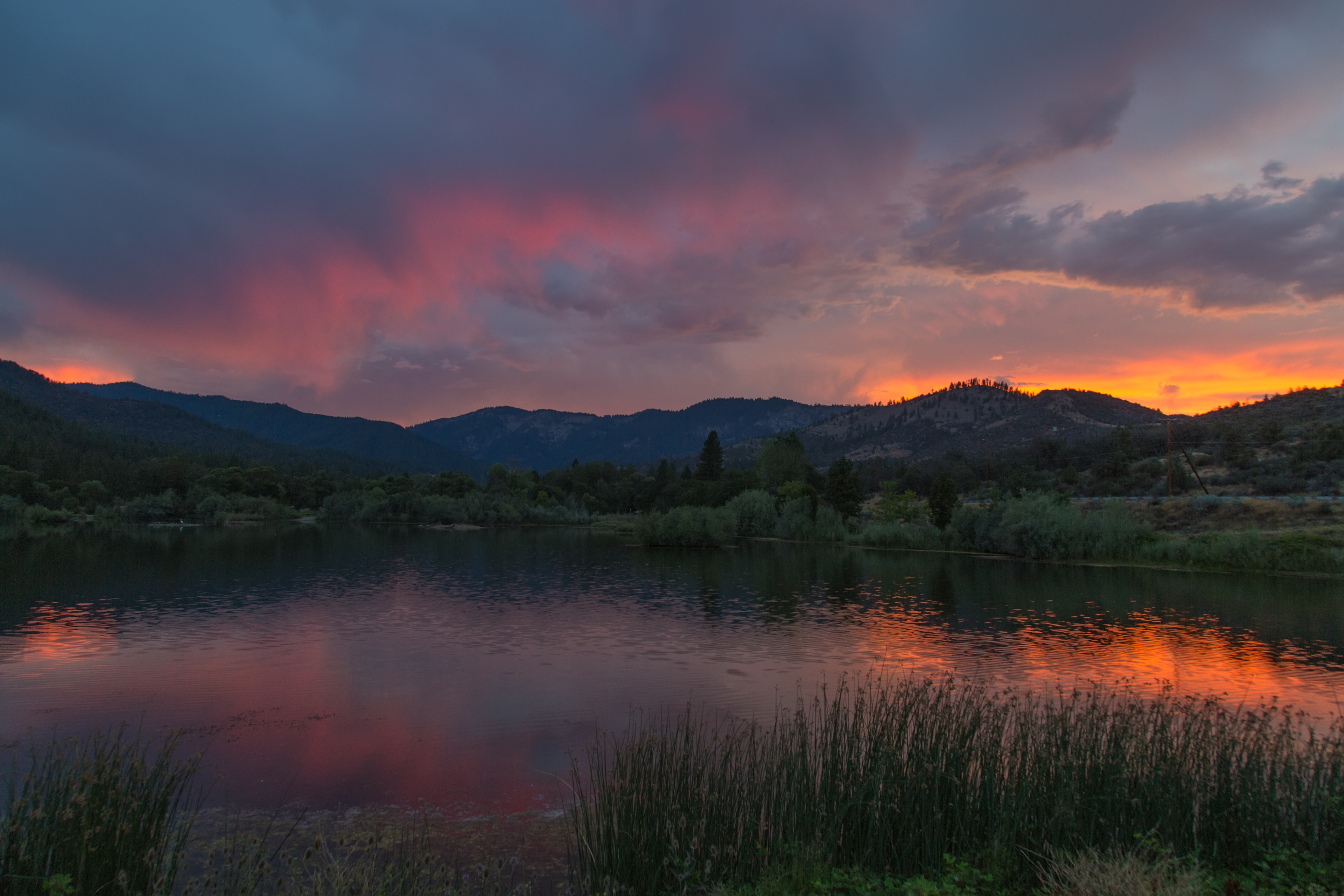
California #sunset #summer #nofilter
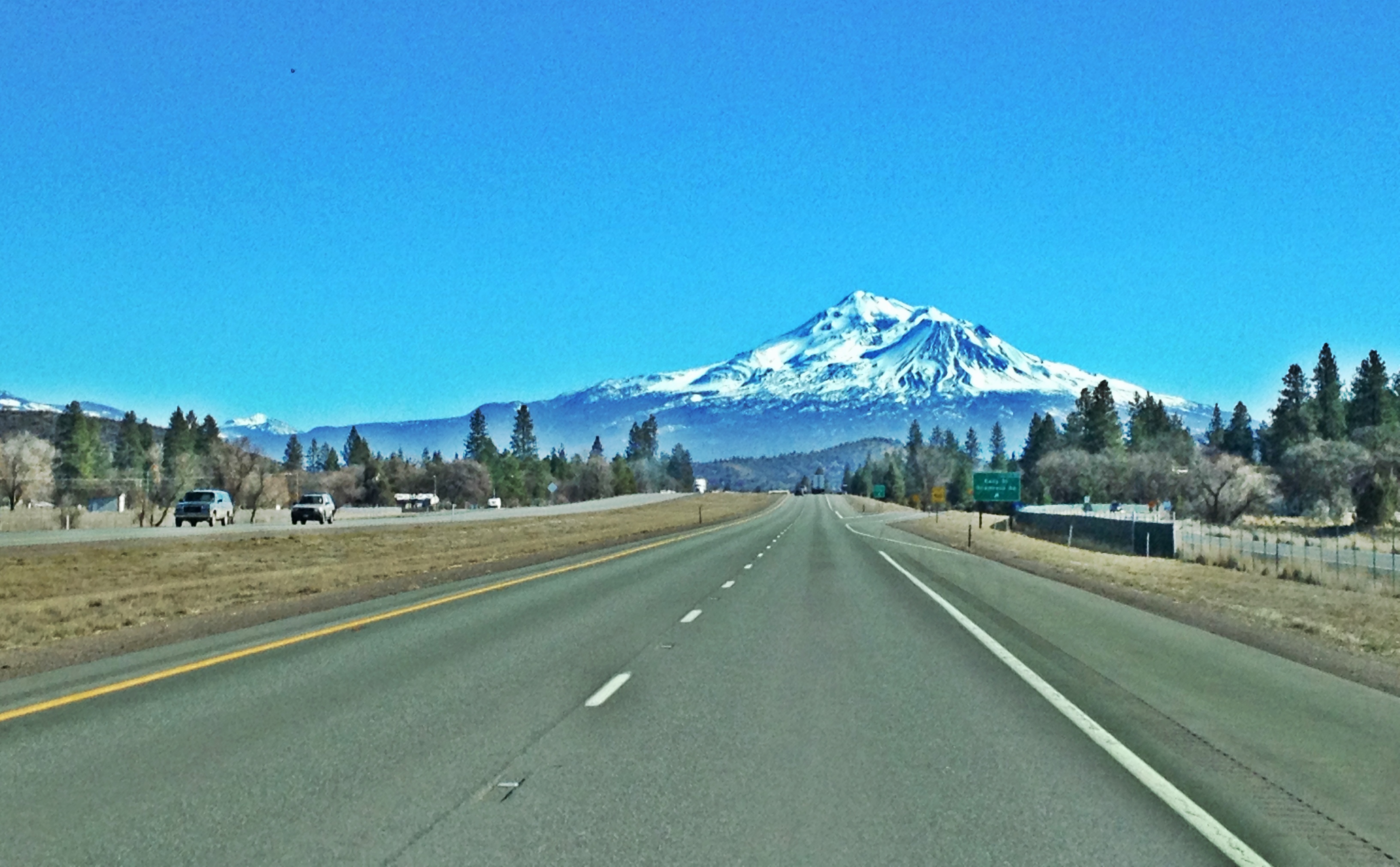
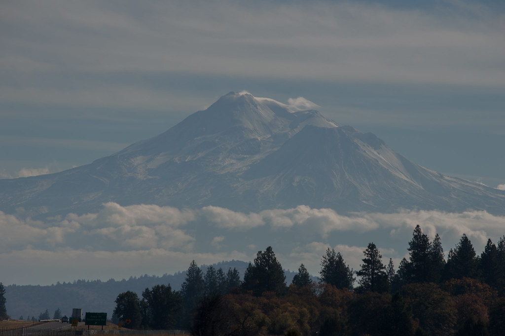
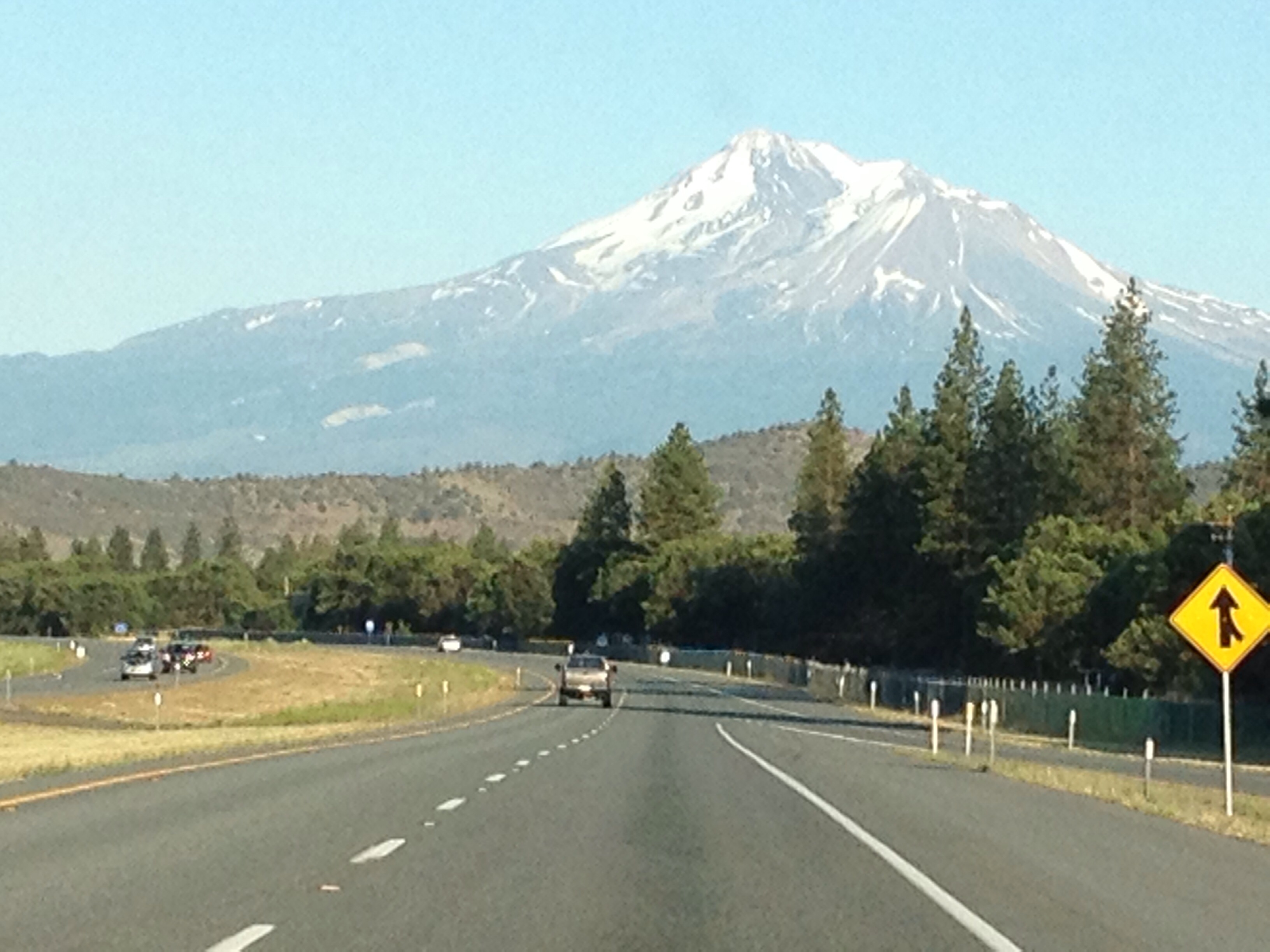
194/365 ~ Mount Shasta from Interstate 5
Oregon Trip

#bigsky #clouds #cloudporn the #road to #mordor ??? #mountains #landscape #travel #northern #california

Tauwnech Owl Yreka Ca MichaelOlsen/ZorkMagazine
DSC_9842.jpg

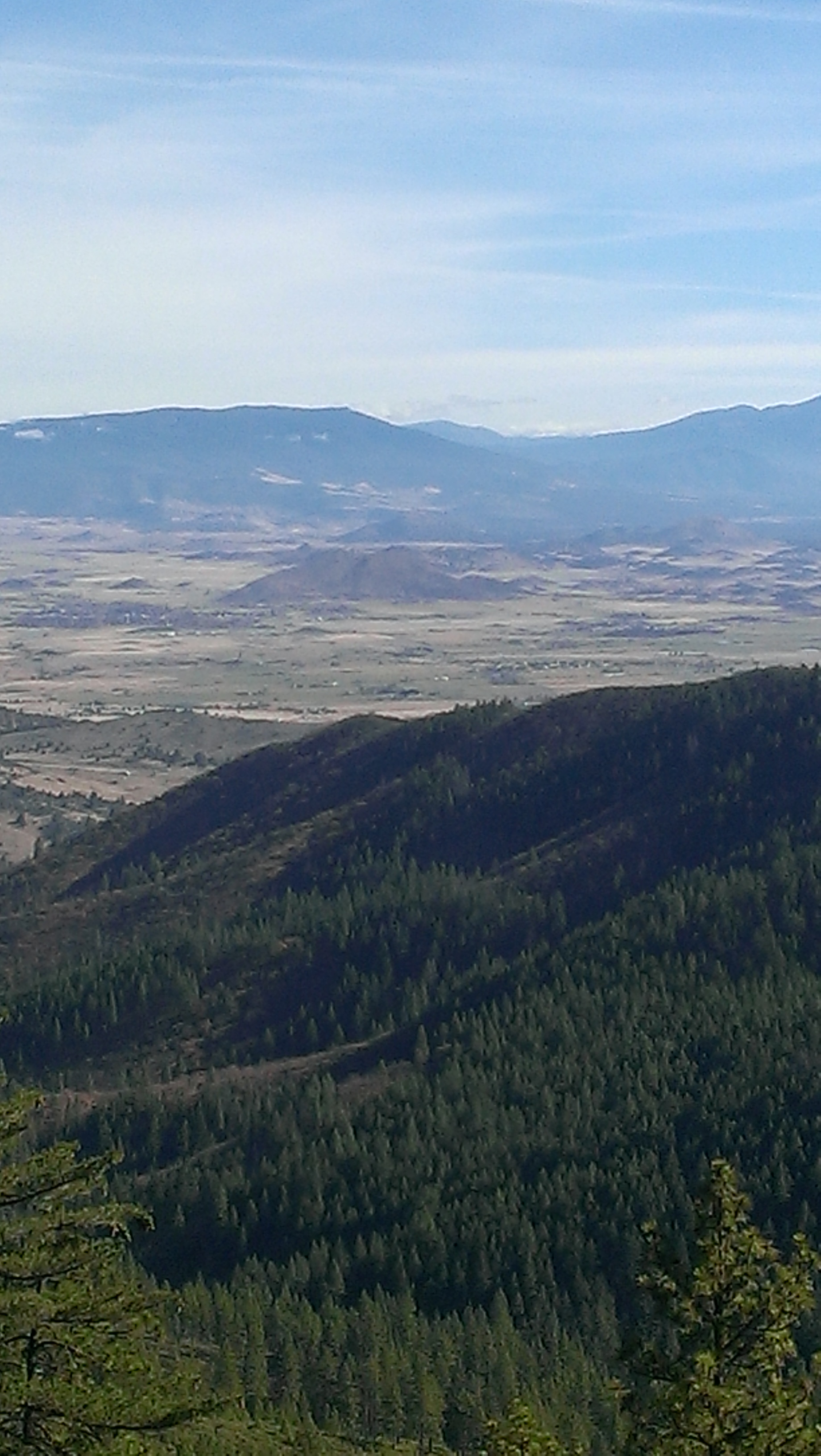
North of Mt. Shasta
DSC_9094.jpg
David trip
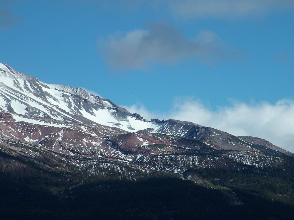
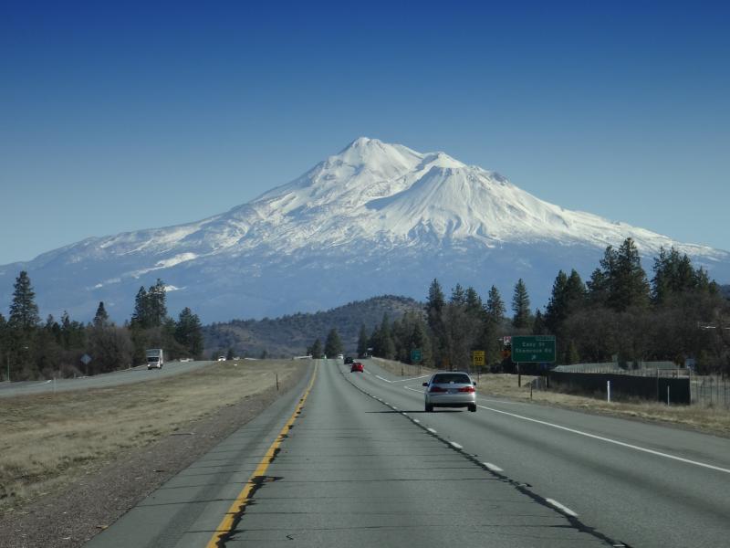
Mt. Shasta 2
Mount Shasta MichaelOlsen/ZorkMagazine
On the beach.

_8040026.NEF
Topographic Map of W Moffett Creek Rd, Fort Jones, CA, USA
Find elevation by address:

Places near W Moffett Creek Rd, Fort Jones, CA, USA:
1833 W Moffett Creek Rd
Fort Jones
12094 Oak Mill Dr
148 Newton St
Indian Creek Rd, Fort Jones, CA, USA
Greenview
107 Laura Ln
2435 Oak Valley Dr
Scott Valley Rd, Etna, CA, USA
6349 Scott River Rd
5025 Schulmeyer Rd
Quartz Valley Rd, Fort Jones, CA, USA
North Street
1125 Rolling Hills Dr
1108 Northridge Dr
Klamath River
1219 Patterson Creek Rd
Yreka
Main Street
8701 Marble Mountain Ln
Recent Searches:
- Elevation of South Yankee Meadow Road, Forest Road, Paragonah, UT, USA
- Elevation of SW Elderview Dr, Sherwood, OR, USA
- Elevation of Hickory St, Greenville, NC, USA
- Elevation of Poplar Ln, Guffey, CO, USA
- Elevation of Falling Spring Rd, Clyde, NC, USA
- Elevation of Kingsfield St, Castle Rock, CO, USA
- Elevation of AMELIA CT HSE, VA, USA
- Elevation of Abbey Dr, Virginia Beach, VA, USA
- Elevation of Brooks Lp, Spearfish, SD, USA
- Elevation of Panther Dr, Maggie Valley, NC, USA