Elevation of W Main St, Kirby, WY, USA
Location: United States > Wyoming > Hot Springs County >
Longitude: -108.18298
Latitude: 43.8031193
Elevation: 1306m / 4285feet
Barometric Pressure: 87KPa
Elevation Map:
Satellite Map:
Related Photos:
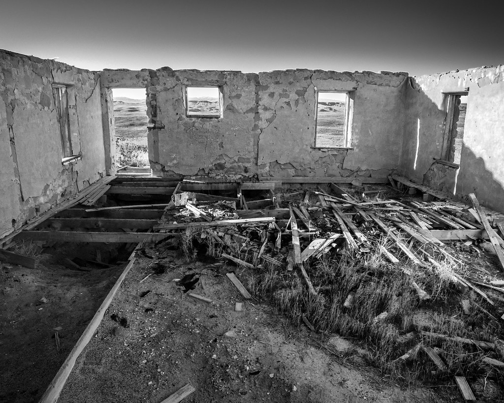
Room With a View
April 9 2012 - Once a room with a view
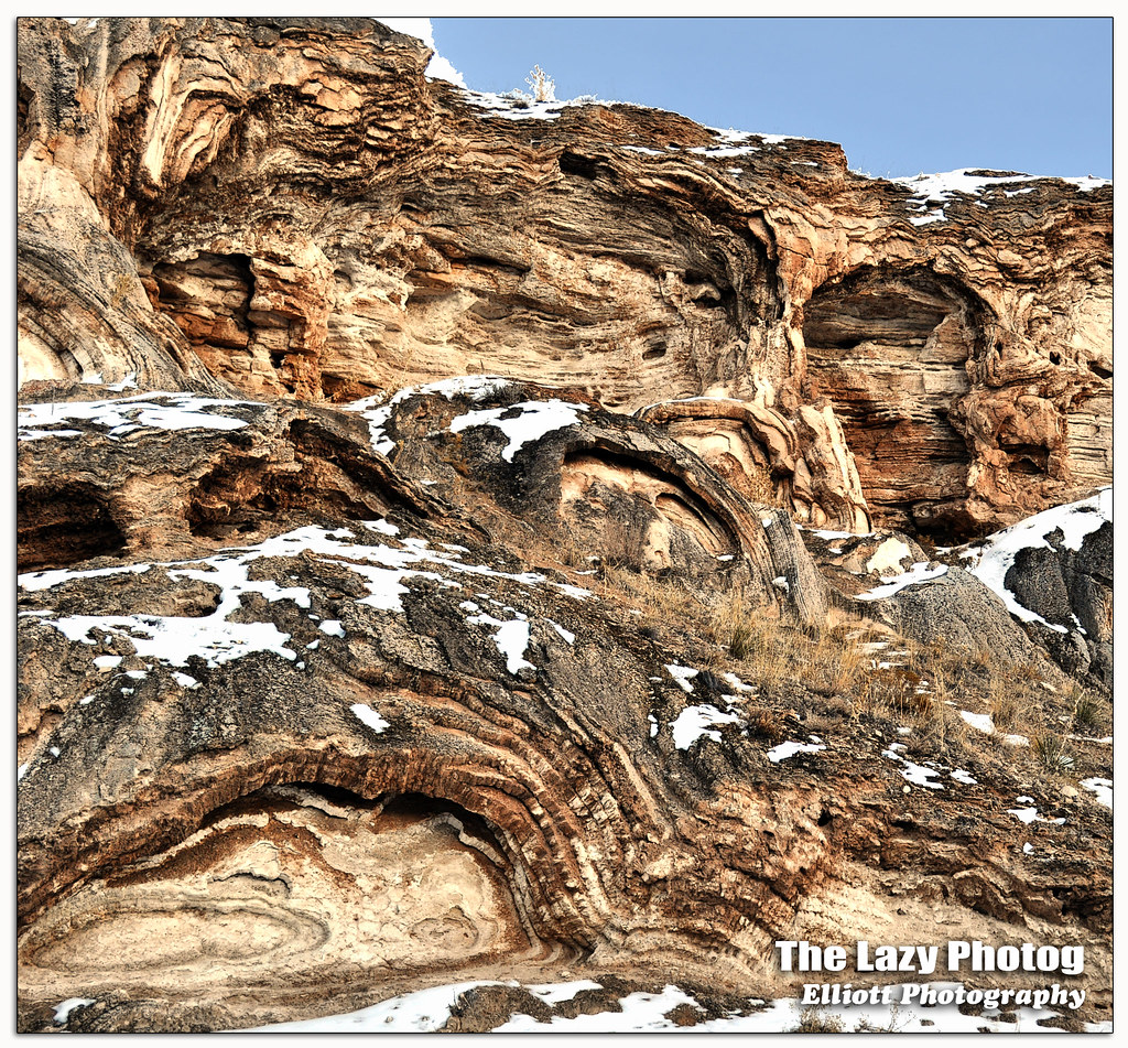
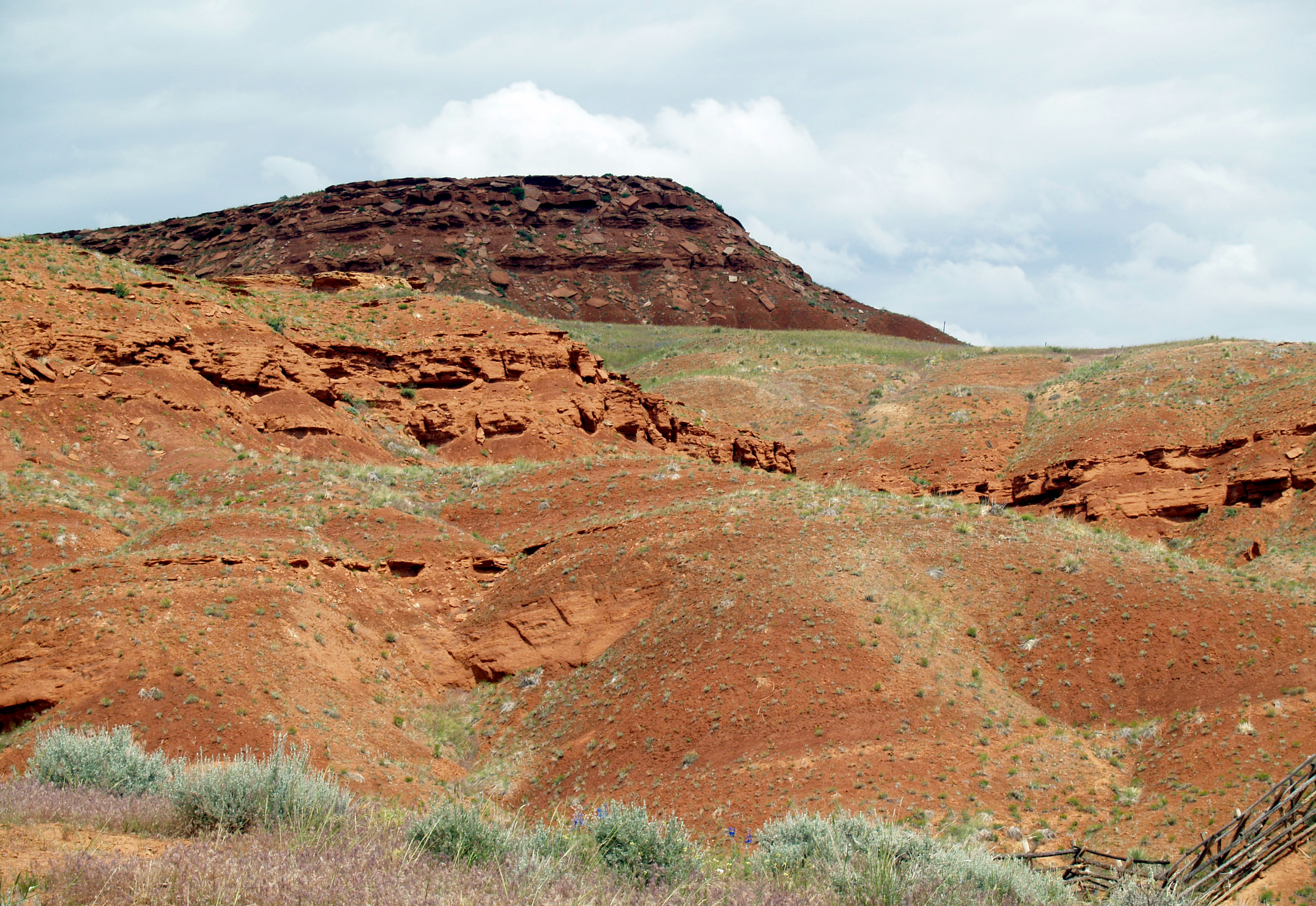
Feb 5 2016 - Rock formations a result of mineral hot springs thermal activity

That Face.

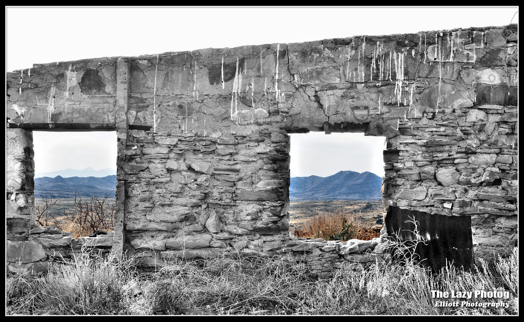
X Marks the Spot.
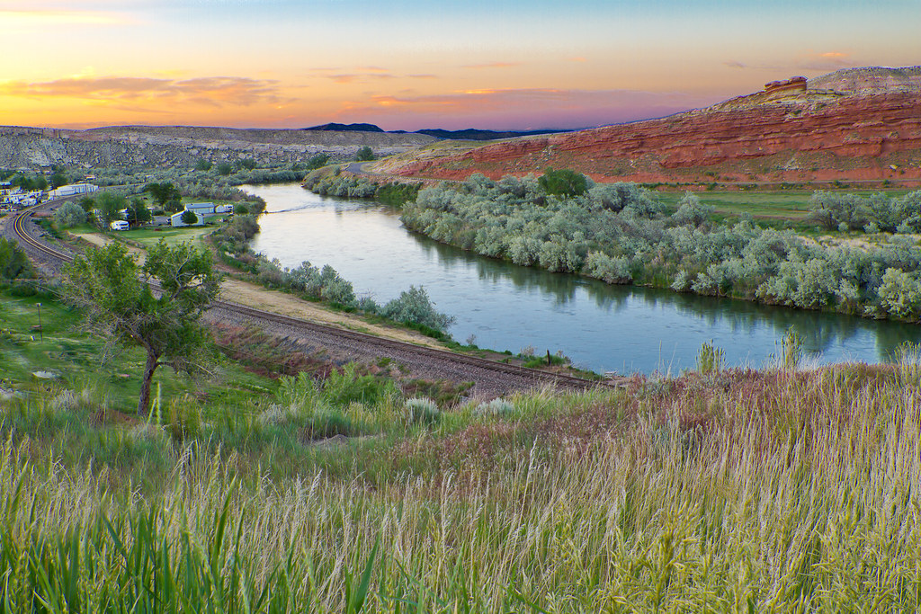
Sunset North of Thermopolis Wyoming, USA

No Place to Sit
Trip to Thermopolis
Trip to Thermopolis
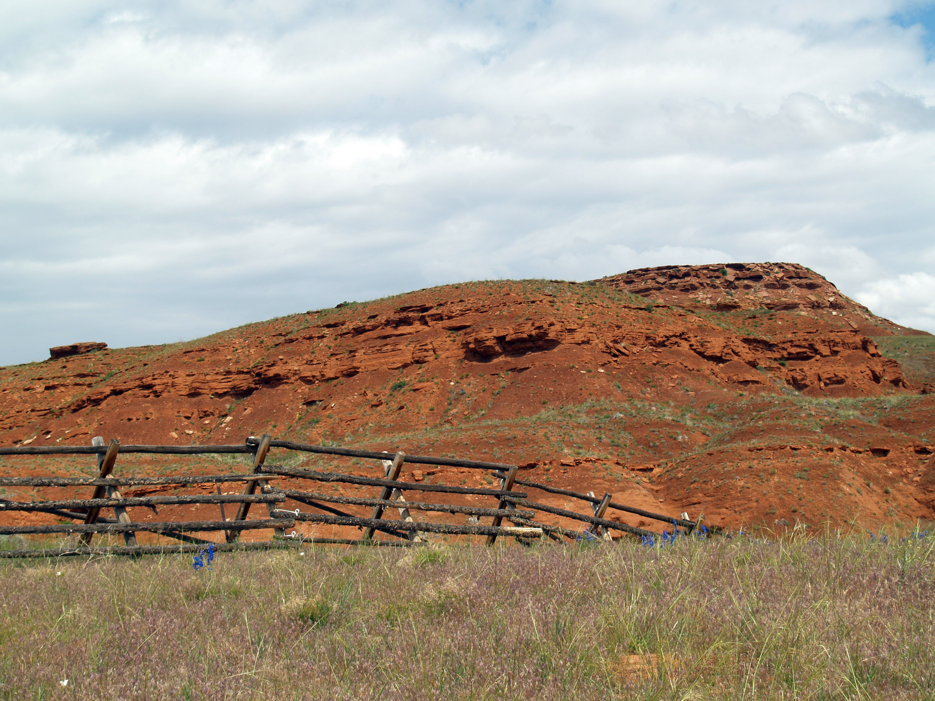
Trip to Thermopolis
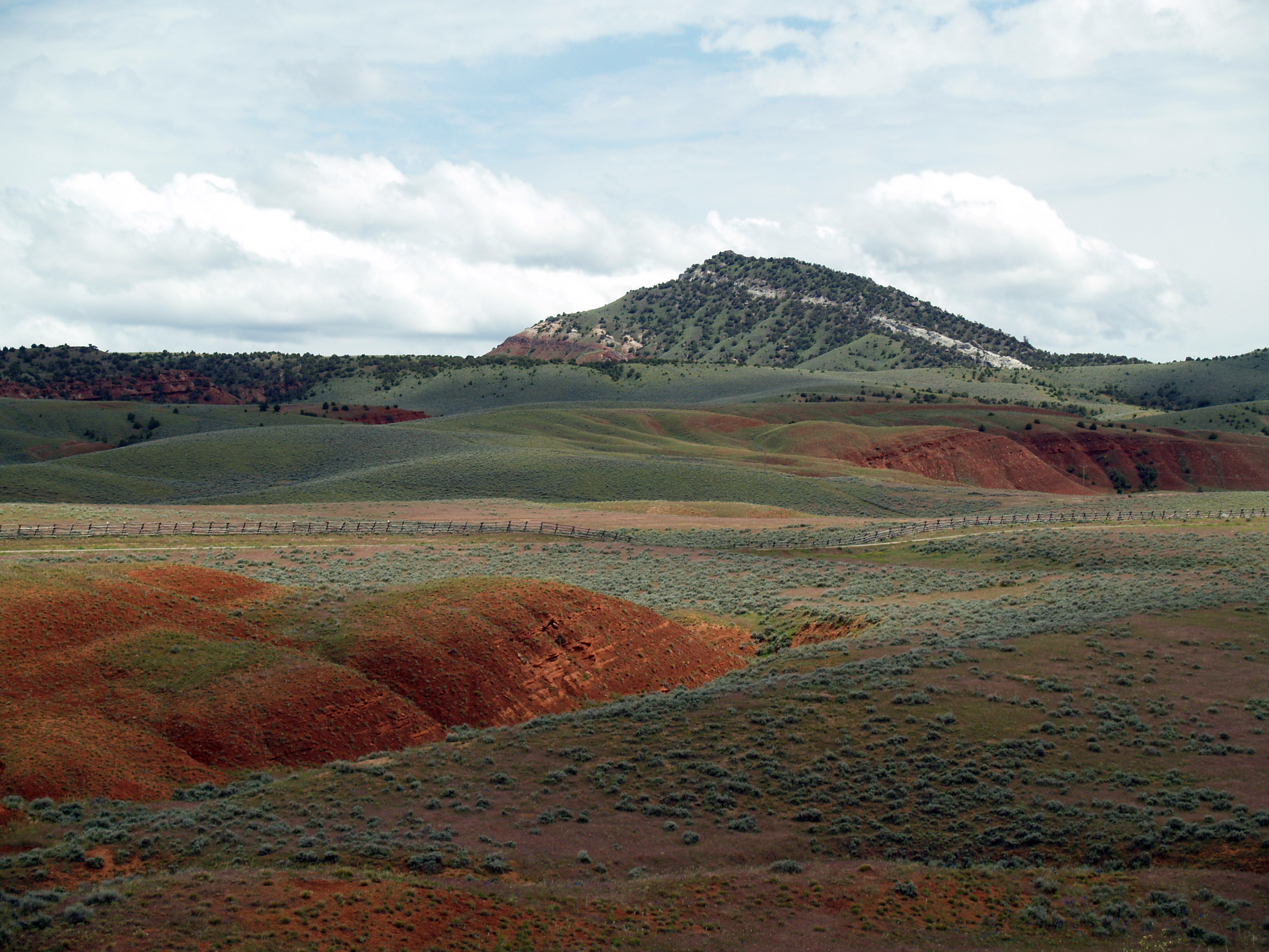
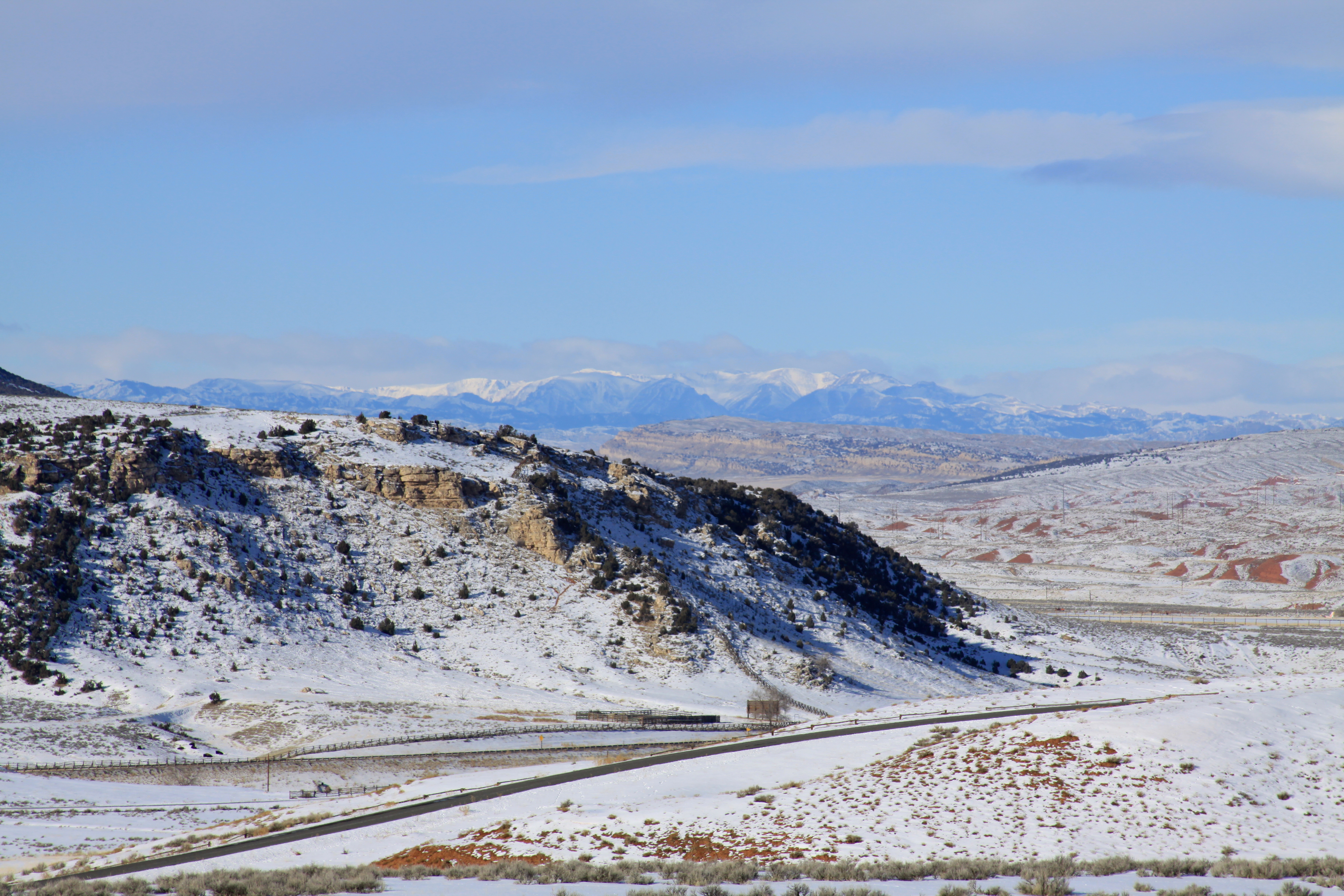
Red Hills towards Red Lane
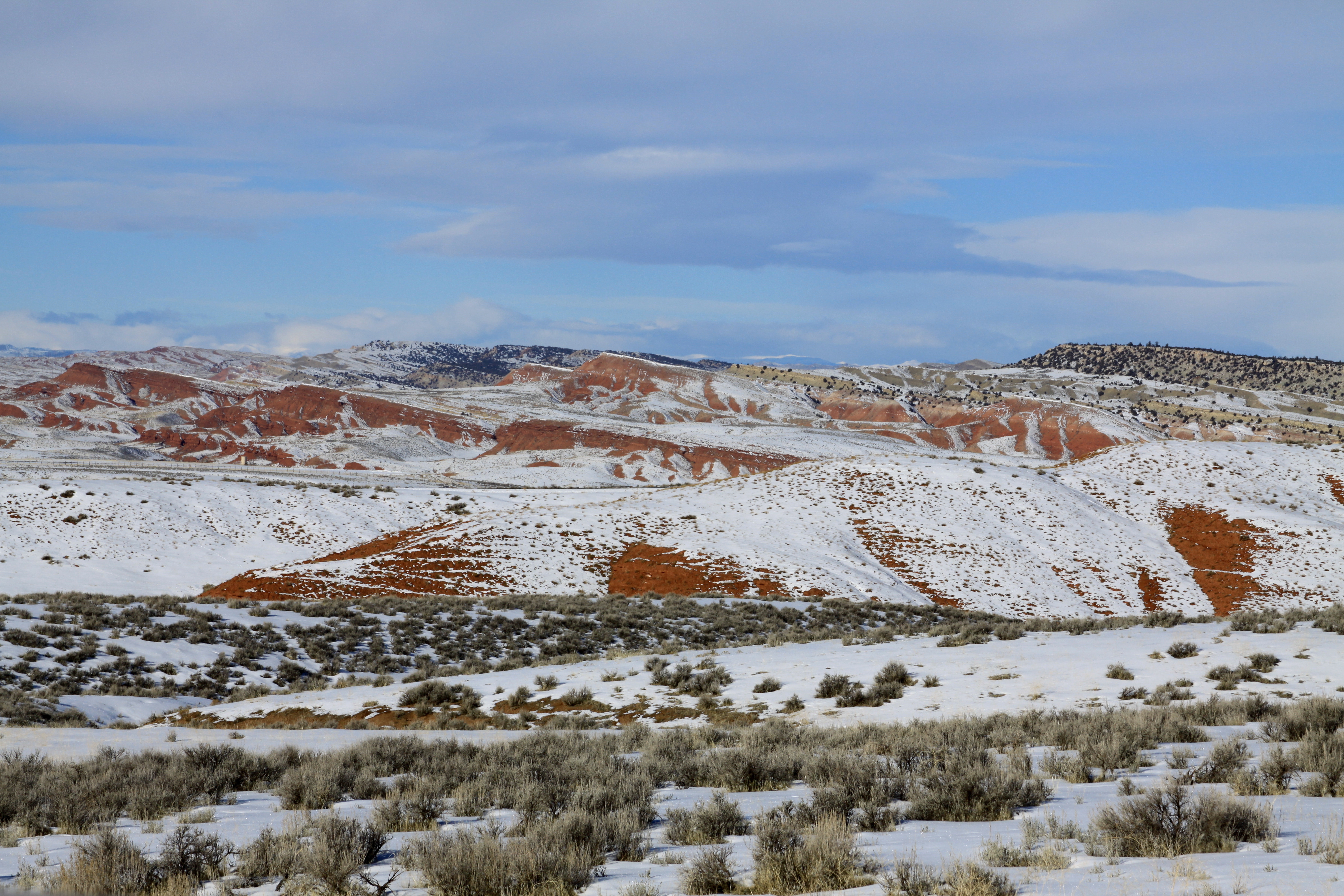
North to Owl Creek

Hot Springs State Park

Hot Springs State Park
Topographic Map of W Main St, Kirby, WY, USA
Find elevation by address:

Places near W Main St, Kirby, WY, USA:
1448 King Rd
1448 King Rd
Winchester
Lucerne
Upper East River Rd, Thermopolis, WY, USA
U.s. 20
Thermopolis
110 Carter Ranch Rd
306 Bobcat Dr
365 Coyote Run Rd
373 Coyote Run Rd
The Barn Private Vacation Retreat
496 Coyote Run Rd
430 Coyote Run Rd
492 Coyote Run Rd
451 Rimrock Dr
441 Coyote Run Rd
473 Coyote Run Rd
South Flat
Worland, WY, USA
Recent Searches:
- Elevation of 7 Waterfall Way, Tomball, TX, USA
- Elevation of SW 57th Ave, Portland, OR, USA
- Elevation of Crocker Dr, Vacaville, CA, USA
- Elevation of Pu Ngaol Community Meeting Hall, HWHM+3X7, Krong Saen Monourom, Cambodia
- Elevation of Royal Ontario Museum, Queens Park, Toronto, ON M5S 2C6, Canada
- Elevation of Groblershoop, South Africa
- Elevation of Power Generation Enterprises | Industrial Diesel Generators, Oak Ave, Canyon Country, CA, USA
- Elevation of Chesaw Rd, Oroville, WA, USA
- Elevation of N, Mt Pleasant, UT, USA
- Elevation of 6 Rue Jules Ferry, Beausoleil, France