Elevation of South Flat, WY, USA
Location: United States > Wyoming > Washakie County >
Longitude: -108.00370
Latitude: 43.9296783
Elevation: 1278m / 4193feet
Barometric Pressure: 87KPa
Elevation Map:
Satellite Map:
Related Photos:

Oct 20 2016 - Beautiful fall views in the Big Horn Basin

Oct 20 2016 - The view of Nowater Creek

Oct 20 2016 - Along Nowater Creek south of Worland. Best viewed in larger format.

April 3 2016 - A ride to the Big Horn Basin badlands today

Oct 25 2016 - Indian chief face in the badland rocks

May 2 2016 - Badlands to Worland to Big Horn Mountains

Oct 20 2016 - Root cellar long since abandoned B&W

May 2 2016 - Bridge remnants in the badlands

May 2 2016 - Badlands sandstone boulder

March 21 2015 - Bighorn Mountains from golf course pond
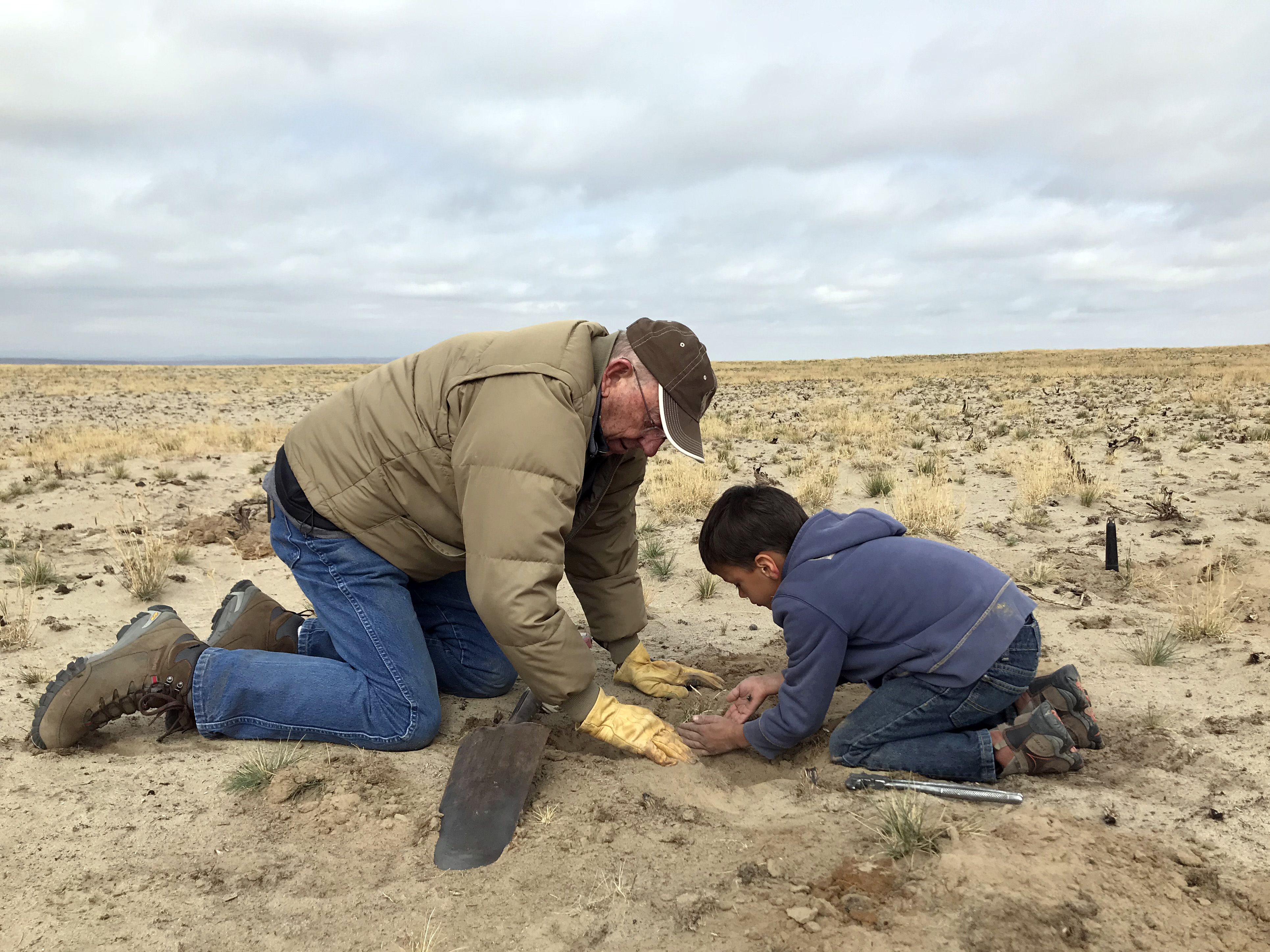
National Public Lands Day, Worland WY

National Public Lands Day, Worland WY

May 2 2016 - We considered taking this road today

Blue Sky

Ten Sleep Canyon
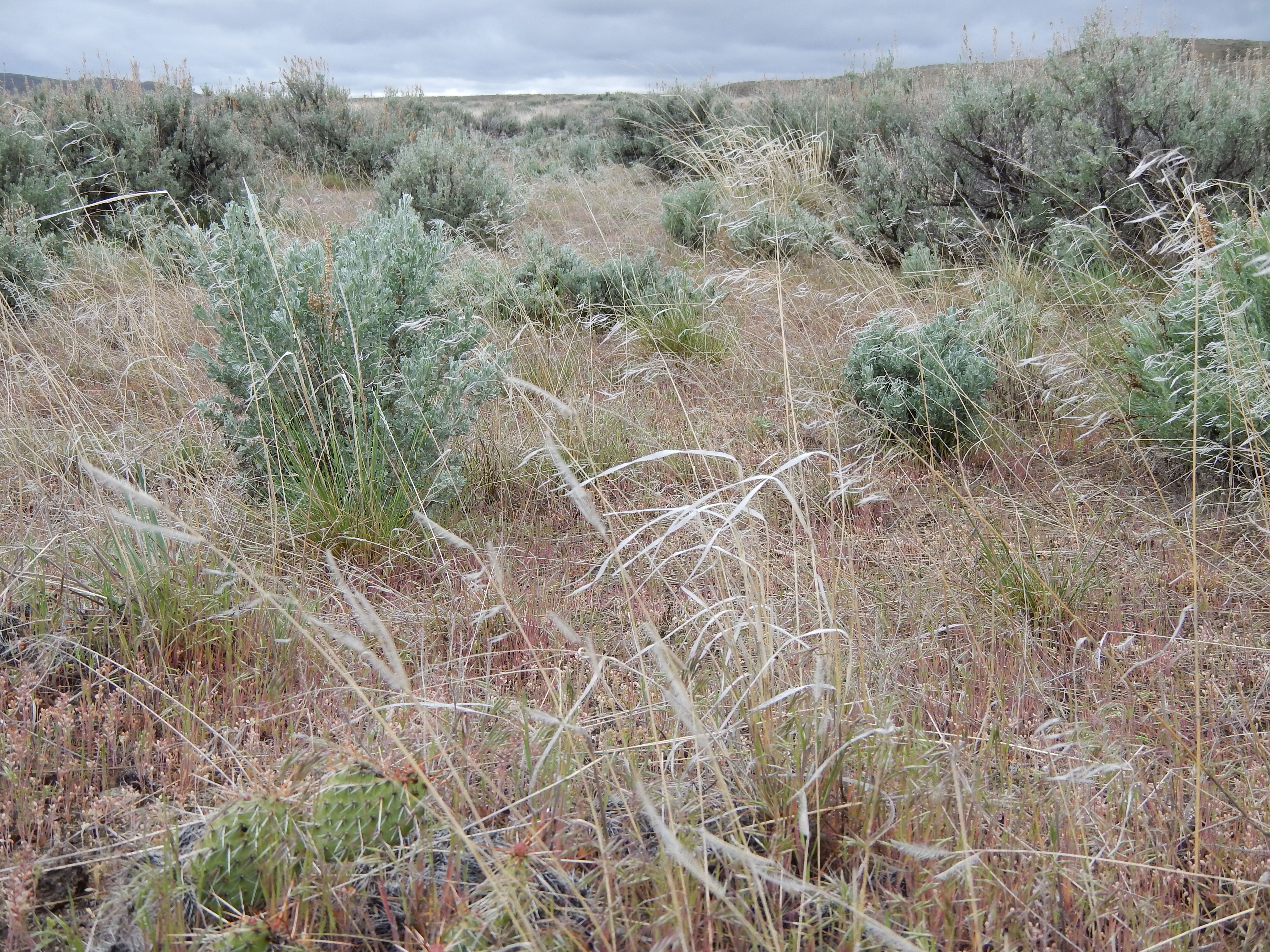
Sagebrush steppe between Worland and Thermopolis
Topographic Map of South Flat, WY, USA
Find elevation by address:

Places in South Flat, WY, USA:
Places near South Flat, WY, USA:
Worland, WY, USA
Himalaya Nursery, Halti
Worland
Winchester
1448 King Rd
W Main St, Kirby, WY, USA
1448 King Rd
Lucerne
Washakie County
Upper East River Rd, Thermopolis, WY, USA
Manderson
110 Carter Ranch Rd
U.s. 20
Thermopolis
306 Bobcat Dr
The Barn Private Vacation Retreat
365 Coyote Run Rd
373 Coyote Run Rd
451 Rimrock Dr
430 Coyote Run Rd
Recent Searches:
- Elevation of Groblershoop, South Africa
- Elevation of Power Generation Enterprises | Industrial Diesel Generators, Oak Ave, Canyon Country, CA, USA
- Elevation of Chesaw Rd, Oroville, WA, USA
- Elevation of N, Mt Pleasant, UT, USA
- Elevation of 6 Rue Jules Ferry, Beausoleil, France
- Elevation of Sattva Horizon, 4JC6+G9P, Vinayak Nagar, Kattigenahalli, Bengaluru, Karnataka, India
- Elevation of Great Brook Sports, Gold Star Hwy, Groton, CT, USA
- Elevation of 10 Mountain Laurels Dr, Nashua, NH, USA
- Elevation of 16 Gilboa Ln, Nashua, NH, USA
- Elevation of Laurel Rd, Townsend, TN, USA