Elevation of Coyote Run Rd, Thermopolis, WY, USA
Location: United States > Wyoming > Hot Springs County > Thermopolis >
Longitude: -108.26049
Latitude: 43.6061684
Elevation: 1528m / 5013feet
Barometric Pressure: 84KPa
Elevation Map:
Satellite Map:
Related Photos:
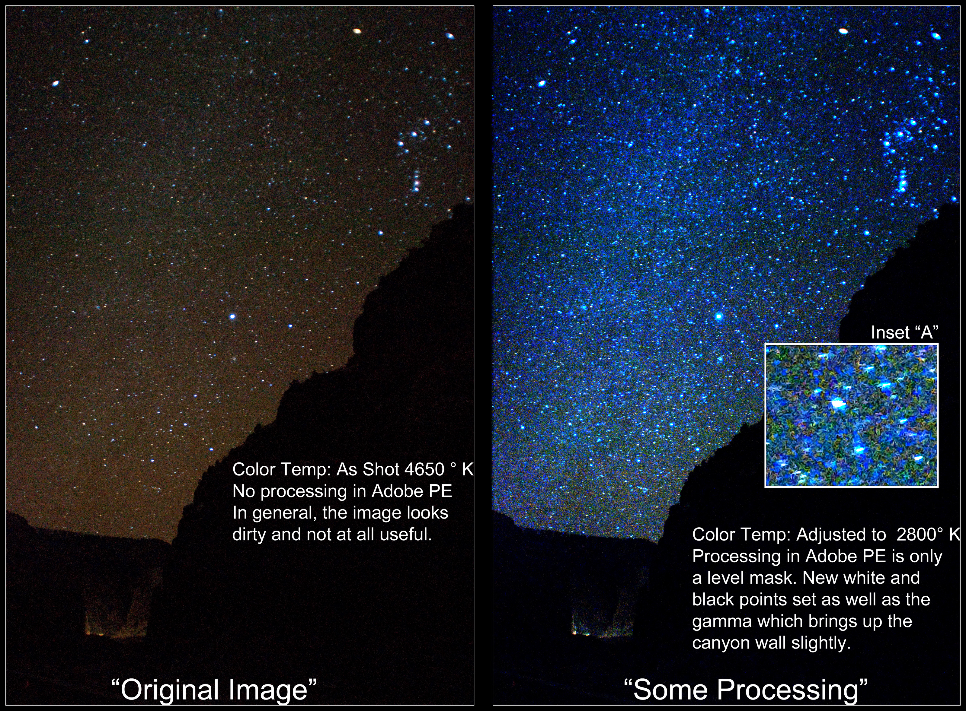
Milky Way in Wind River Canyon (Expert Advice Sought)
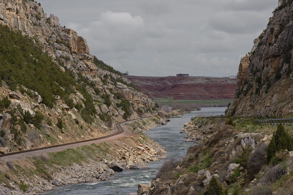
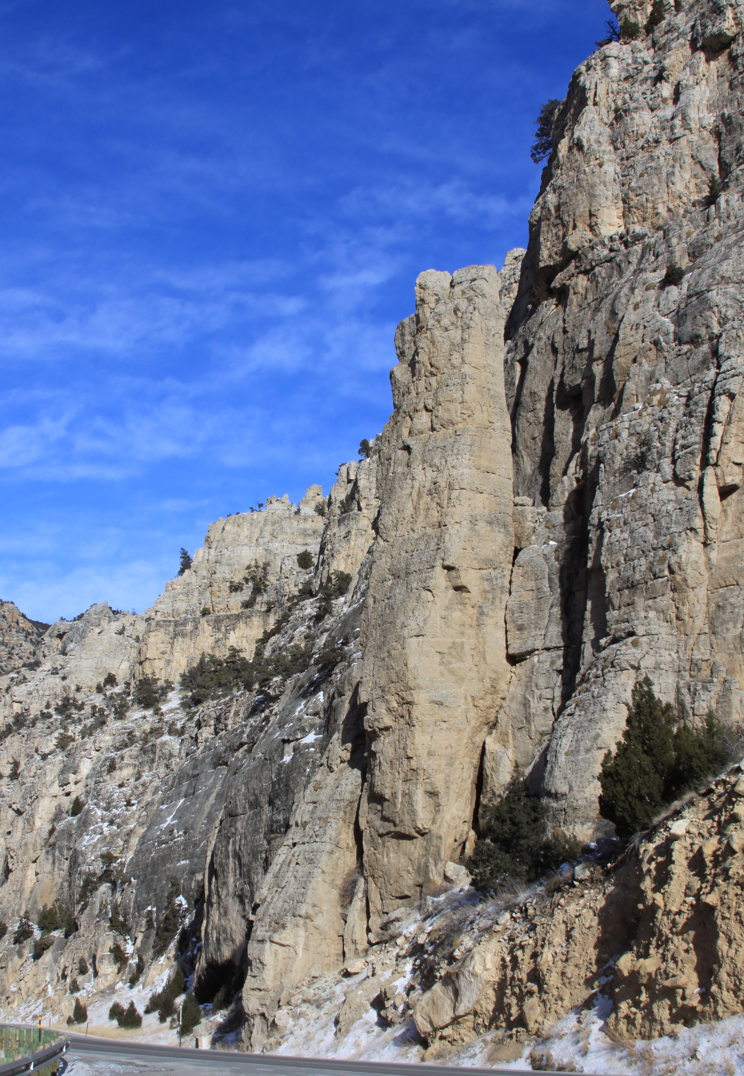
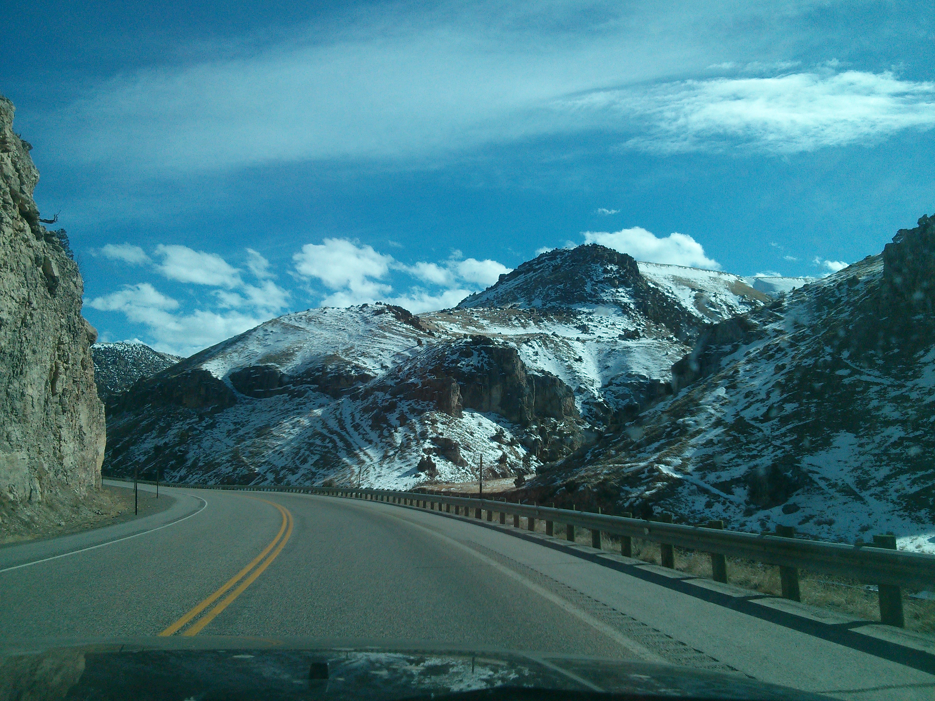
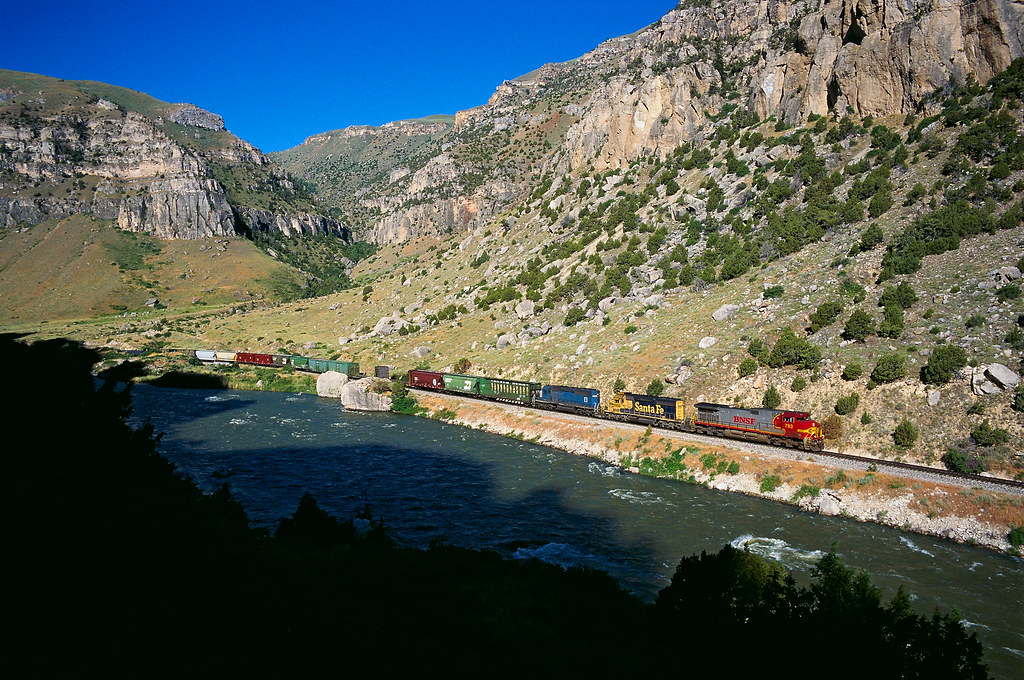
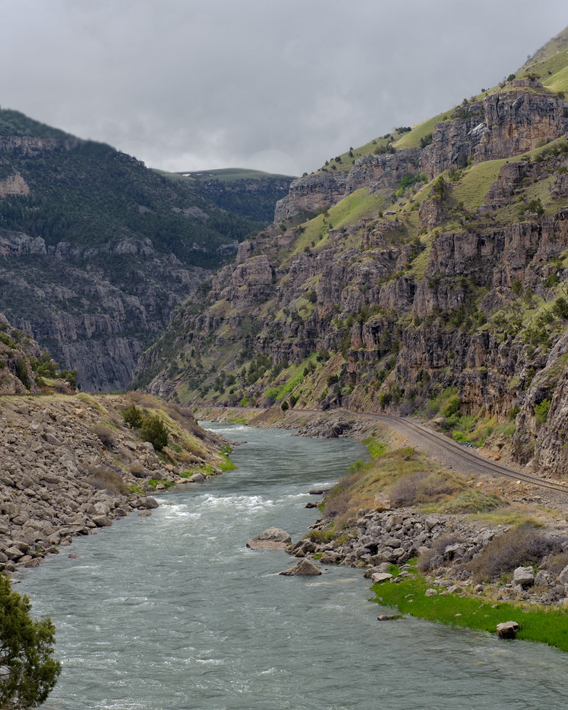
Wind River Canyon
Wind River Canyon
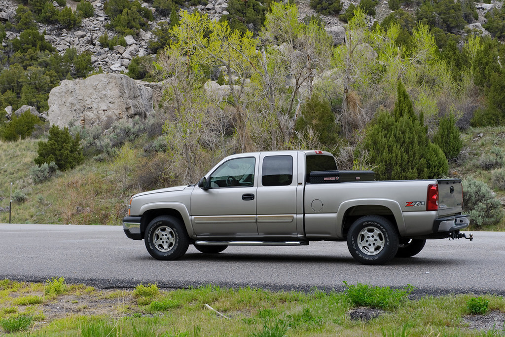
Out In The Sticks
Proof of Travel May 2011
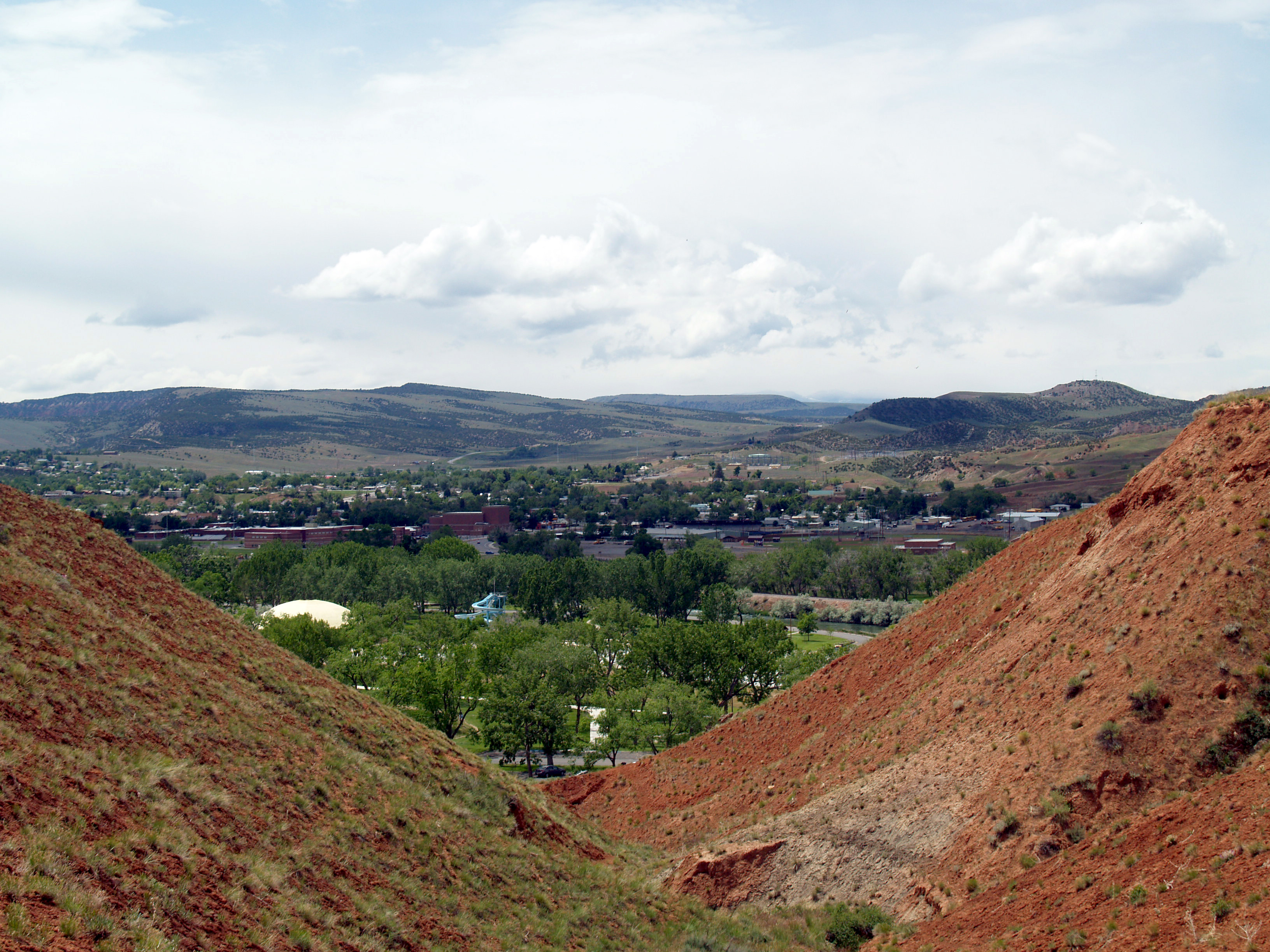
View of Thermopolis
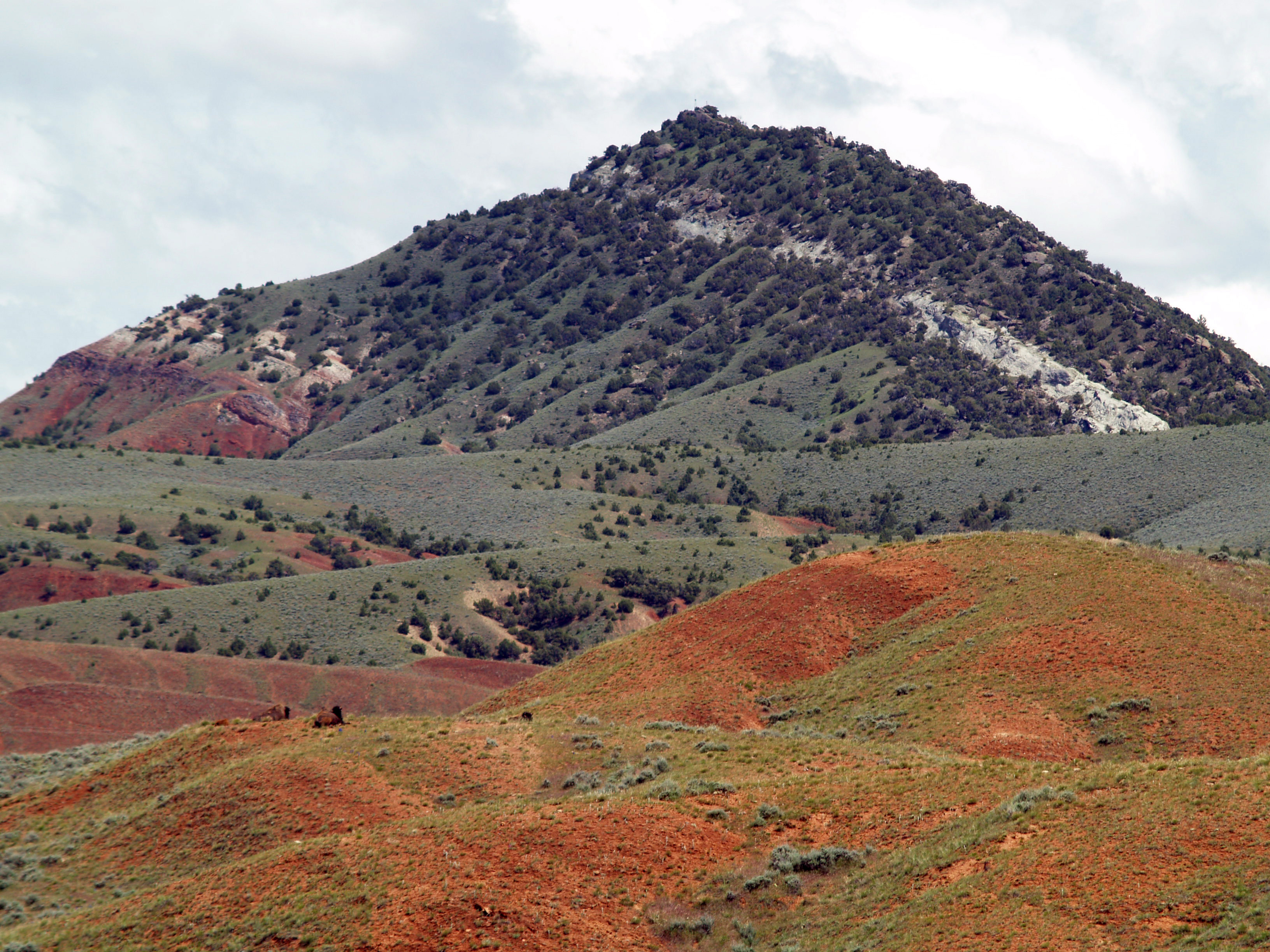
More buffalo viewing
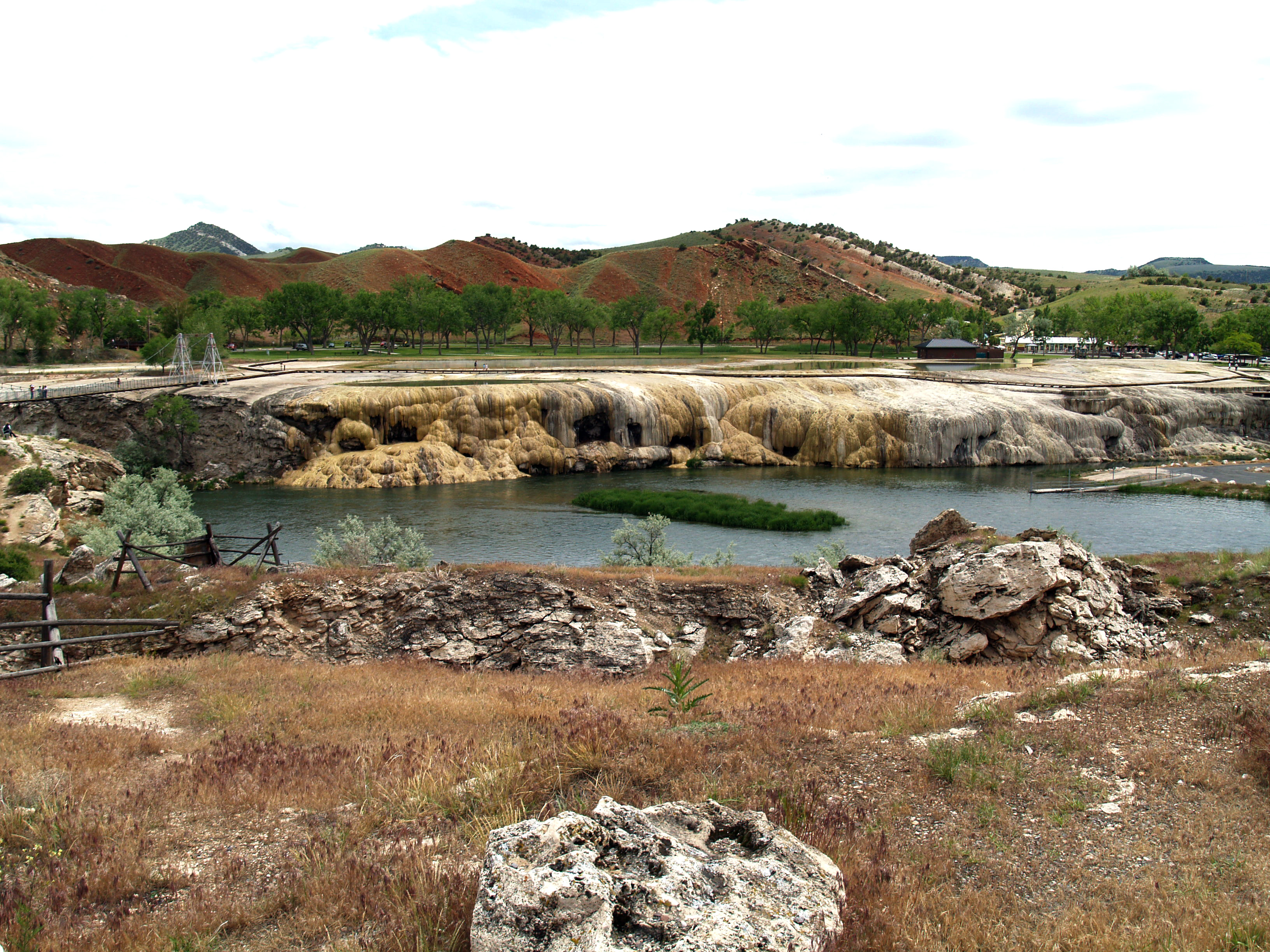
View of the Hot Springs from outside the park
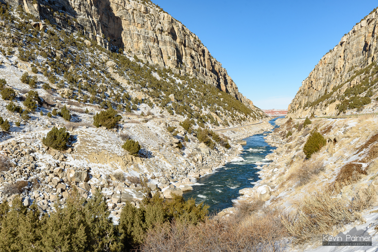
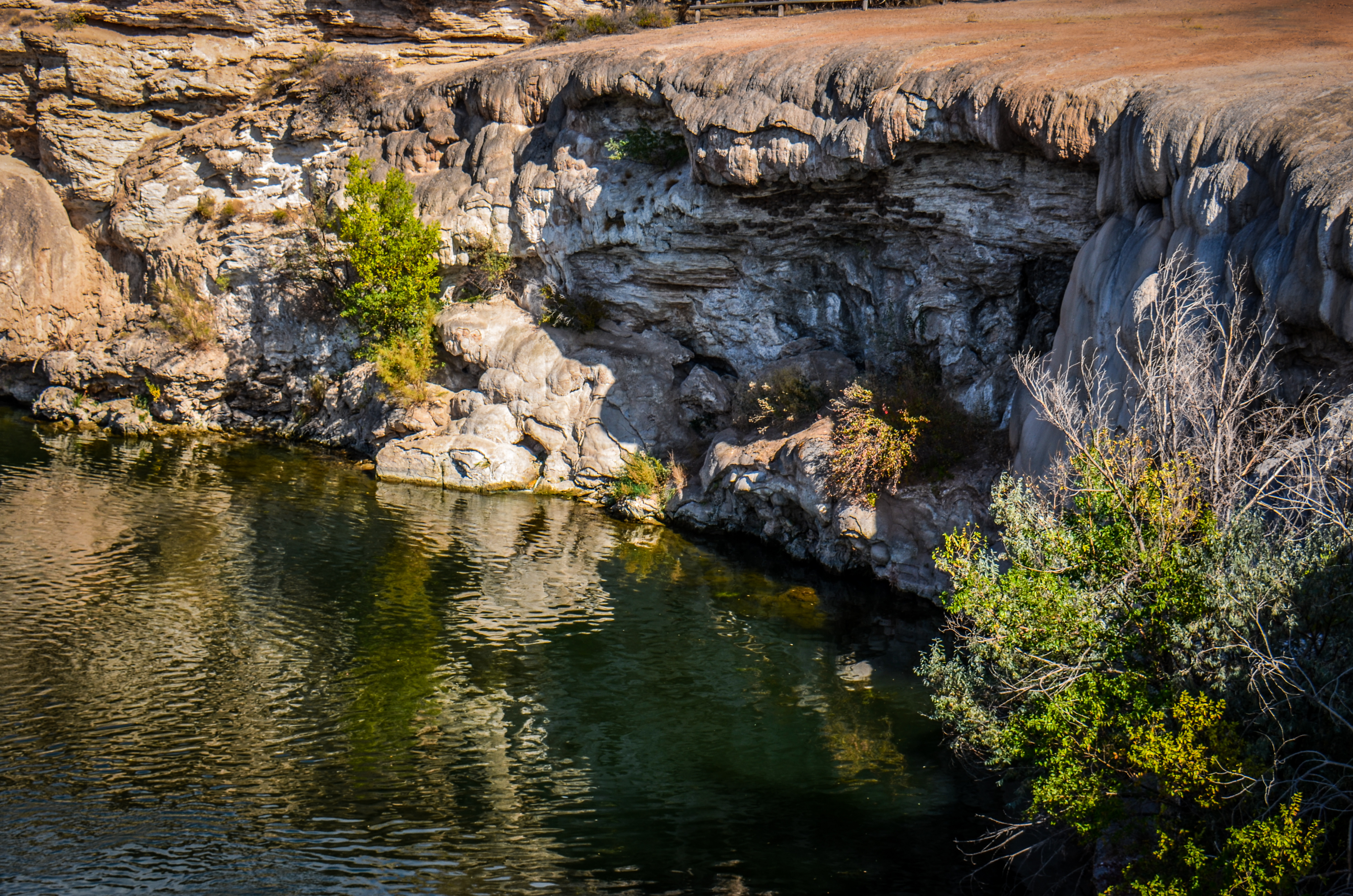
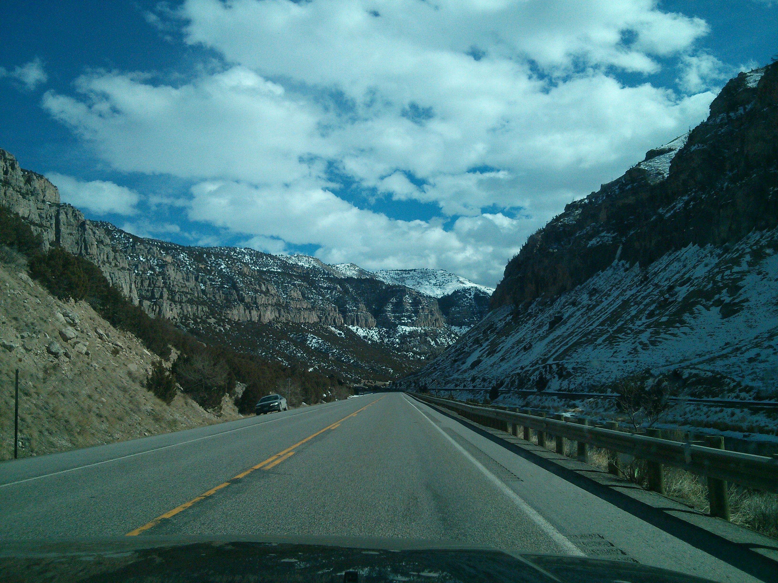
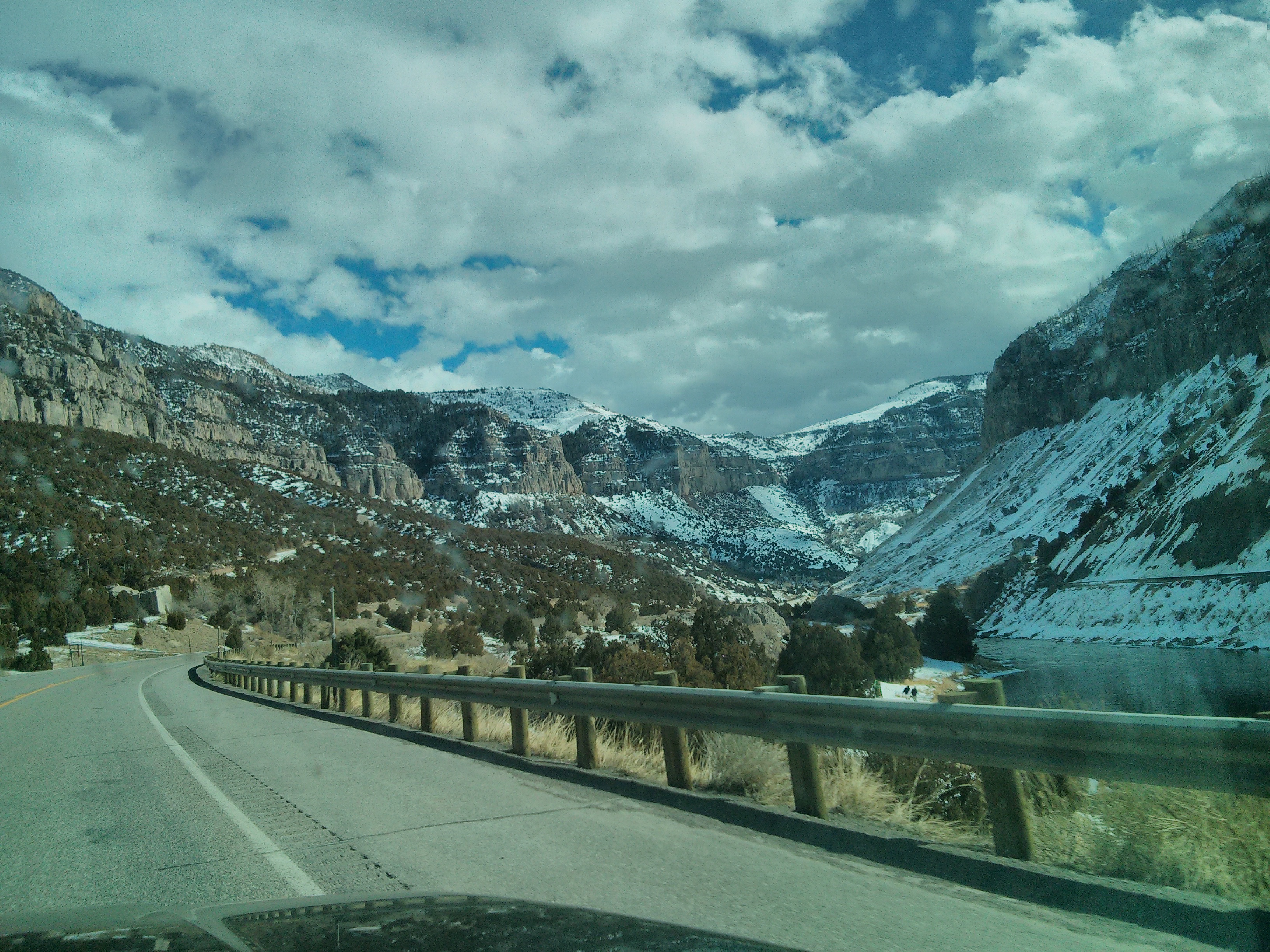
North side of Wind River Canyon
Wind River Canyon Entrance

Colorful Terraces, Hot Springs State Park, Thermopolis, Wyoming
Day #15 - Return to the Earth

Thermopolis, Wyoming
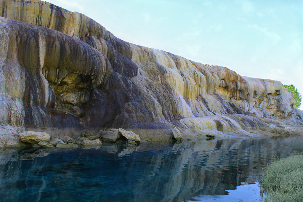
Terraces On Monday Morning
Thermopolis, Wyoming
Sunset North of Thermopolis Wyoming, USA
Wyoming(22).jpg(2)(22)(2)
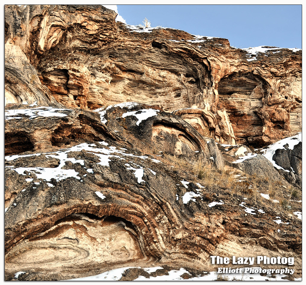
Feb 5 2016 - Rock formations a result of mineral hot springs thermal activity
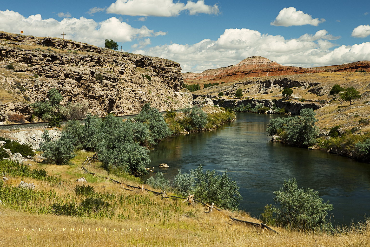
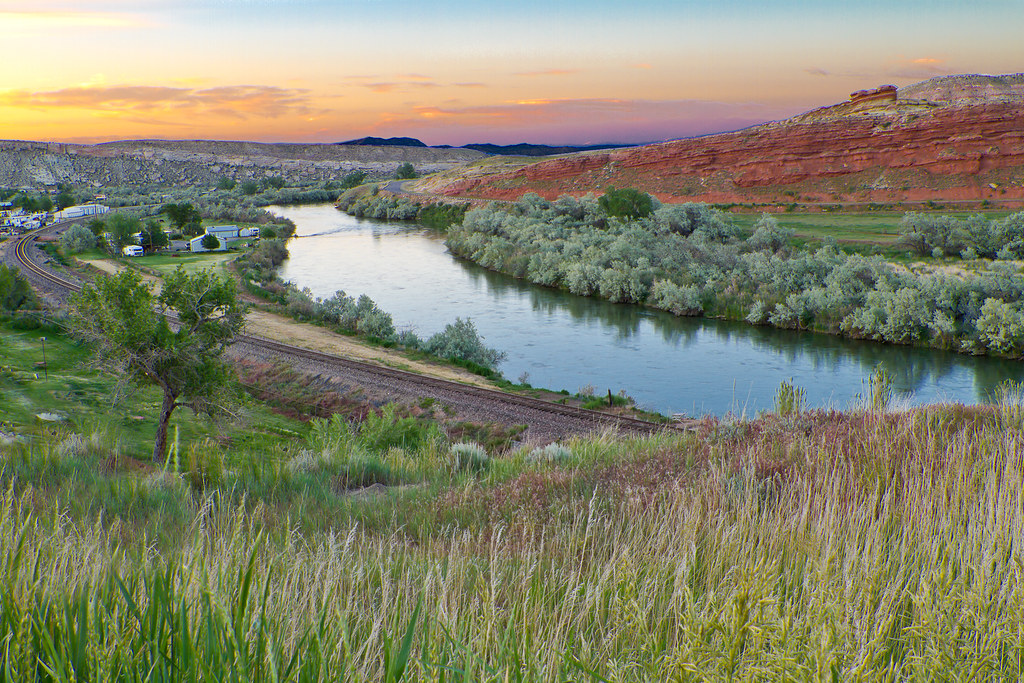
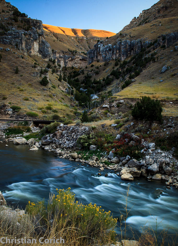
Wind River
Wyoming(22).jpg(2)(6)
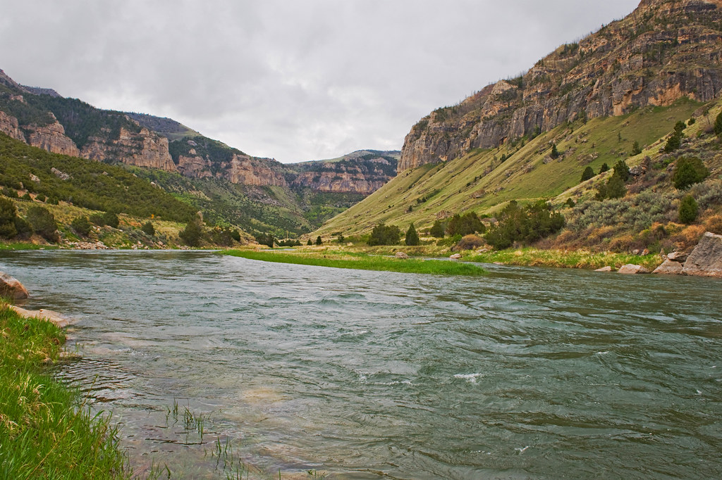
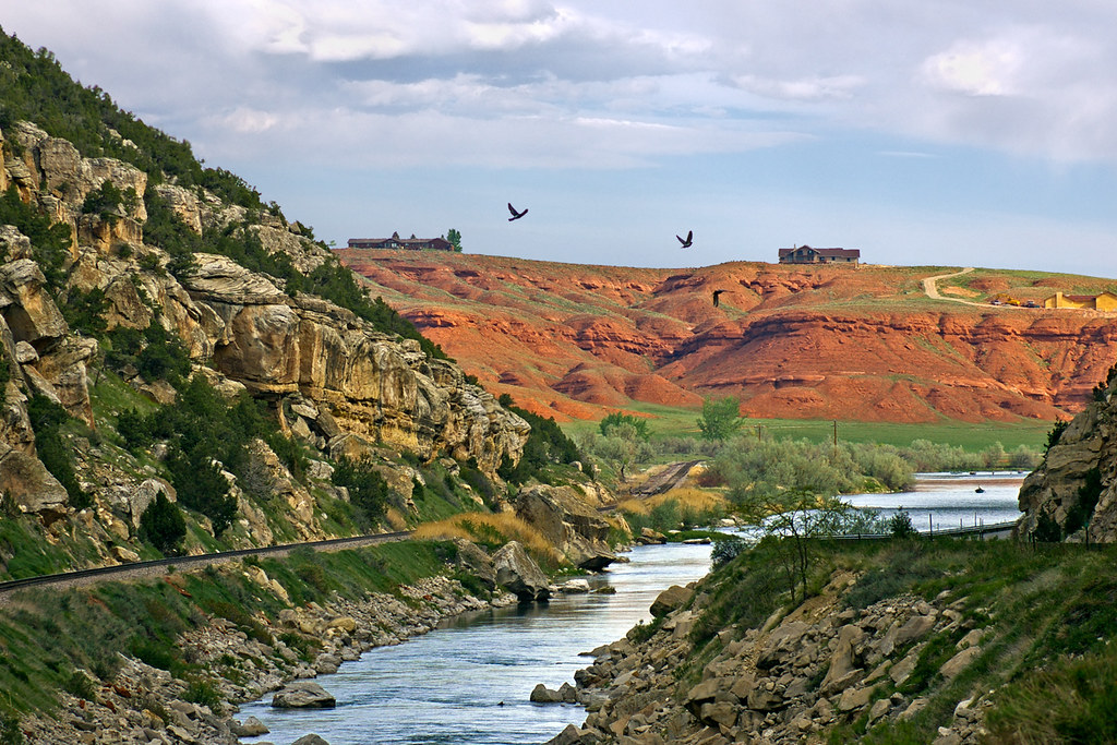
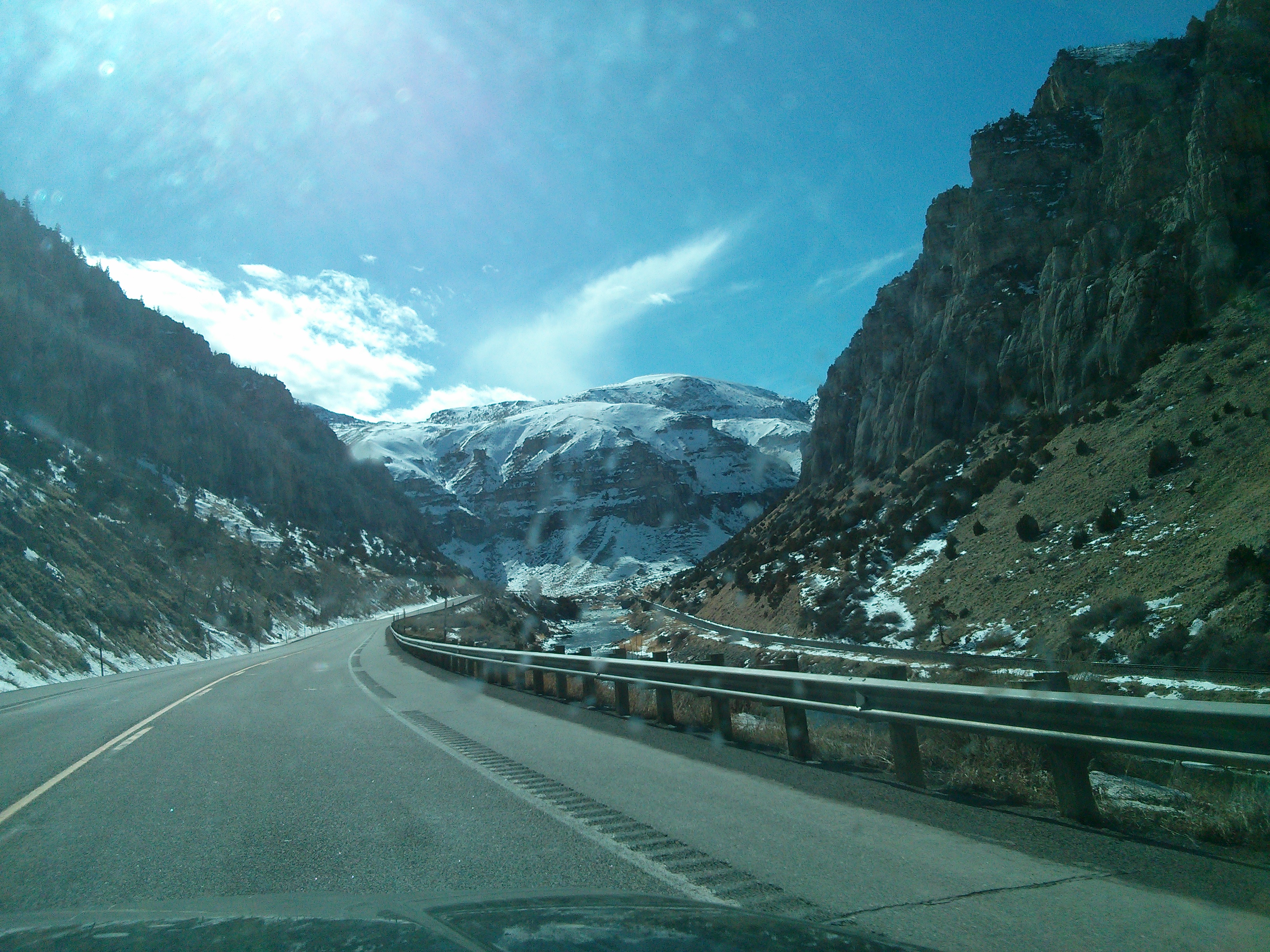
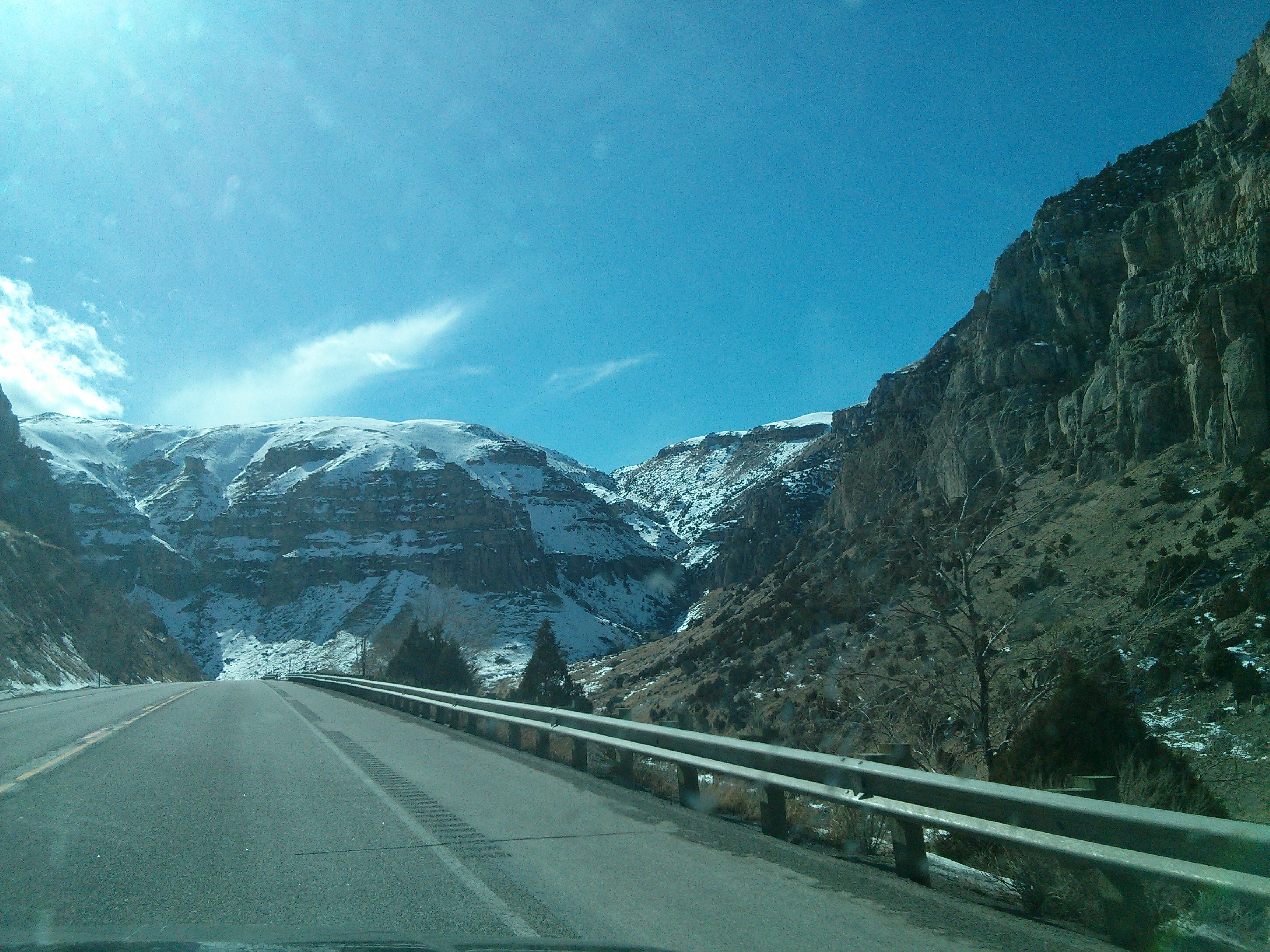
Wind River Canyon
Wind River Canyon
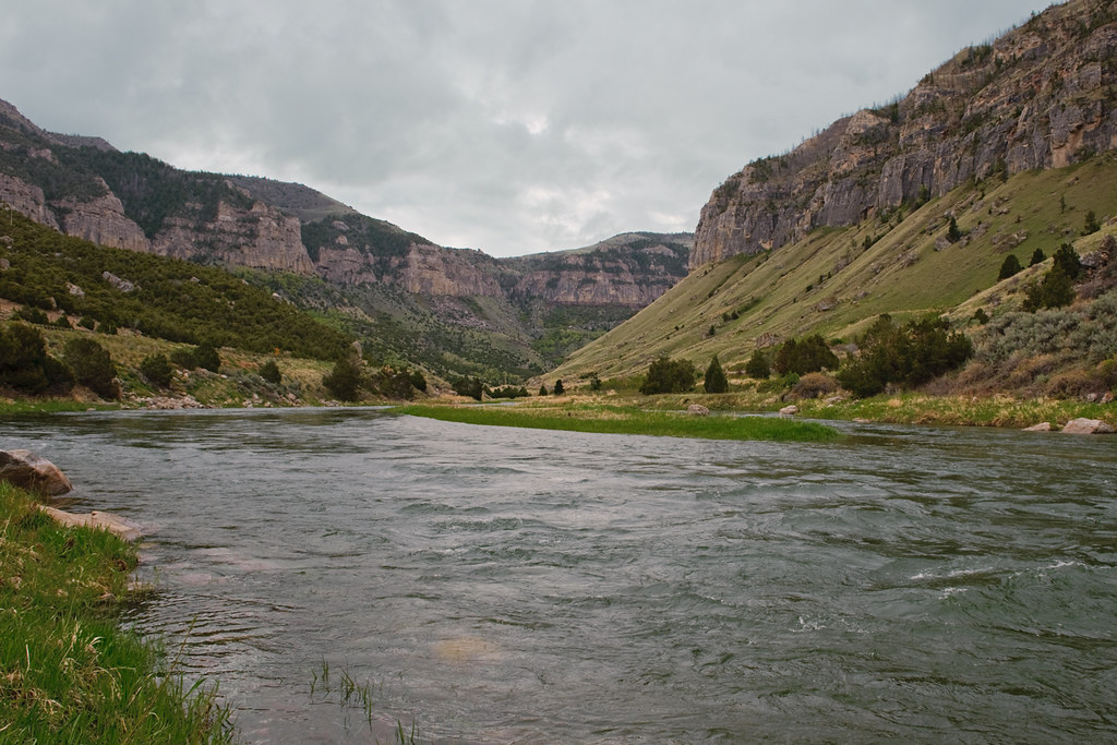
Wind River Canyon
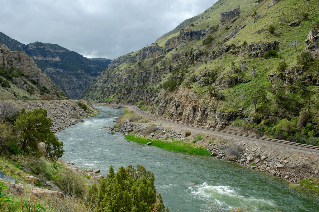
Wind River Canyon
Wyoming(22)(22)(2)
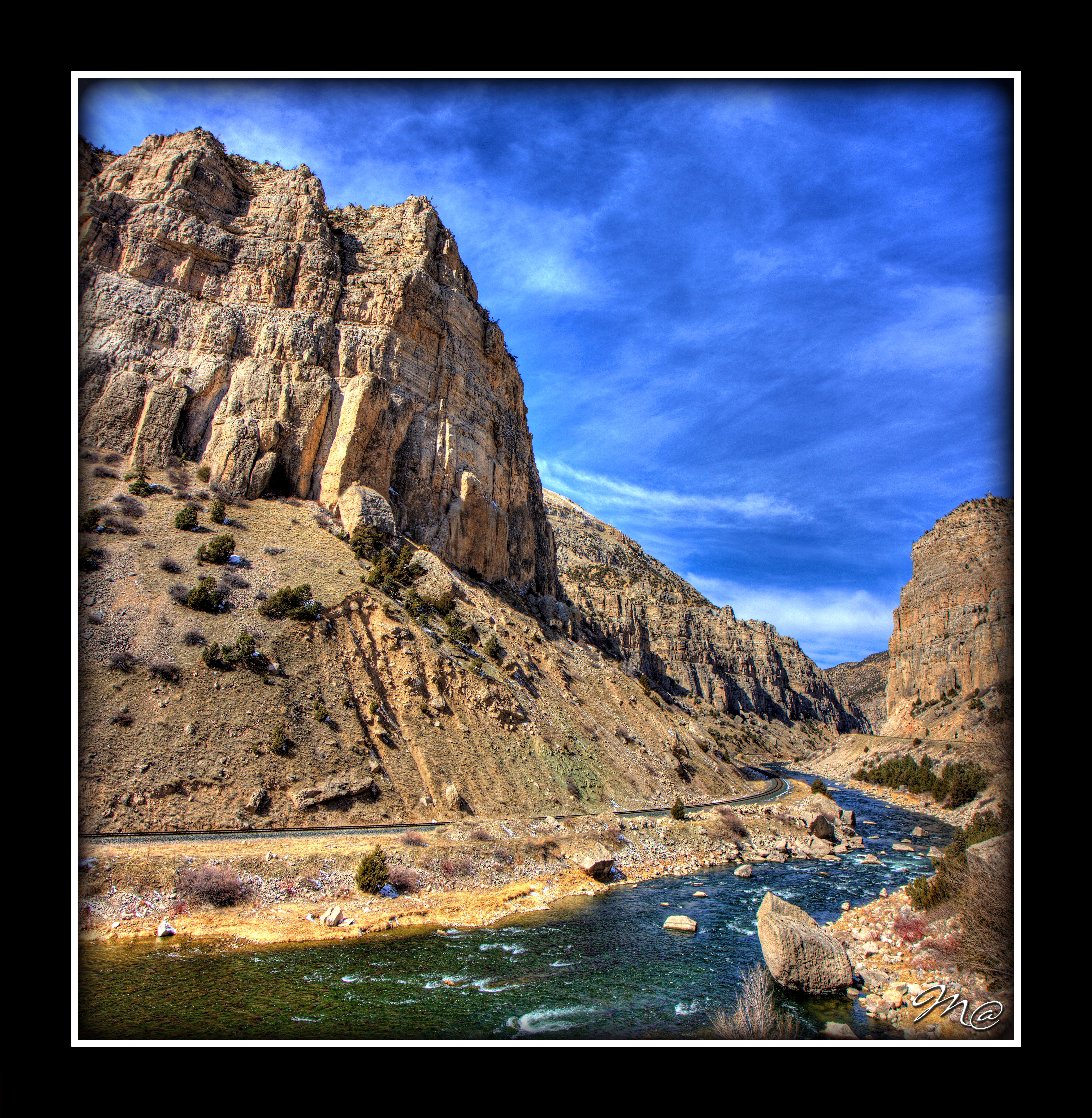
Windriver Canyon Vertorama 2
Wyoming(22).jpg(2)(18)
Wyoming(22).jpg(2)(14)
_MG_1160.jpg

X Marks the Spot.
Topographic Map of Coyote Run Rd, Thermopolis, WY, USA
Find elevation by address:

Places near Coyote Run Rd, Thermopolis, WY, USA:
441 Coyote Run Rd
492 Coyote Run Rd
430 Coyote Run Rd
496 Coyote Run Rd
373 Coyote Run Rd
365 Coyote Run Rd
451 Rimrock Dr
306 Bobcat Dr
The Barn Private Vacation Retreat
Thermopolis
U.s. 20
110 Carter Ranch Rd
Upper East River Rd, Thermopolis, WY, USA
Lucerne
W Main St, Kirby, WY, USA
1448 King Rd
1448 King Rd
Winchester
South Flat
Worland, WY, USA
Recent Searches:
- Elevation of Elwyn Dr, Roanoke Rapids, NC, USA
- Elevation of Congressional Dr, Stevensville, MD, USA
- Elevation of Bellview Rd, McLean, VA, USA
- Elevation of Stage Island Rd, Chatham, MA, USA
- Elevation of Shibuya Scramble Crossing, 21 Udagawacho, Shibuya City, Tokyo -, Japan
- Elevation of Jadagoniai, Kaunas District Municipality, Lithuania
- Elevation of Pagonija rock, Kranto 7-oji g. 8"N, Kaunas, Lithuania
- Elevation of Co Rd 87, Jamestown, CO, USA
- Elevation of Tenjo, Cundinamarca, Colombia
- Elevation of Côte-des-Neiges, Montreal, QC H4A 3J6, Canada