Elevation of W Lincoln St, Norton, KS, USA
Location: United States > Kansas > Norton County >
Longitude: -99.891310
Latitude: 39.8300536
Elevation: 693m / 2274feet
Barometric Pressure: 93KPa
Elevation Map:
Satellite Map:
Related Photos:

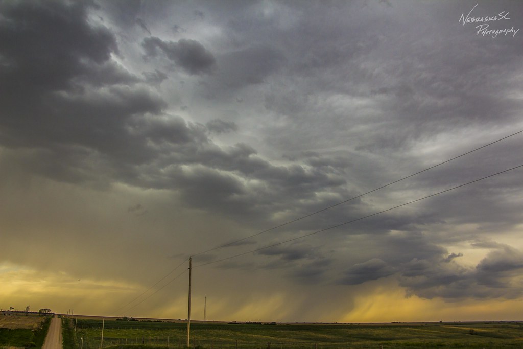
050716 - On my way to Wray Colorado

050716 - On my way to Wray Colorado
050716 - On my way to Wray Colorado

050716 - On my way to Wray Colorado (B&W)

050716 - On my way to Wray Colorado

050716 - On my way to Wray Colorado
Topographic Map of W Lincoln St, Norton, KS, USA
Find elevation by address:

Places near W Lincoln St, Norton, KS, USA:
209 W Lincoln St
403 W Waverly St
16982 Eagles Rd
Norton County
Highland-district 2
Lenora
Furnas County
Good Samaritan Society – Arapahoe
Bartley
Decatur County
Red Willow County
Smith Ave, Elwood, NE, USA
Elwood
74441 Middle Canyon Rd
74441 Middle Canyon Rd
74439 Middle Canyon Rd
74441 Middle Canyon Rd
74439 Middle Canyon Rd
Middle Canyon Road
Willow Grove
Recent Searches:
- Elevation of Village Ln, Finleyville, PA, USA
- Elevation of 24 Oakland Rd #, Scotland, ON N0E 1R0, Canada
- Elevation of Deep Gap Farm Rd E, Mill Spring, NC, USA
- Elevation of Dog Leg Dr, Minden, NV, USA
- Elevation of Dog Leg Dr, Minden, NV, USA
- Elevation of Kambingan Sa Pansol Atbp., Purok 7 Pansol, Candaba, Pampanga, Philippines
- Elevation of Pinewood Dr, New Bern, NC, USA
- Elevation of Mountain View, CA, USA
- Elevation of Foligno, Province of Perugia, Italy
- Elevation of Blauwestad, Netherlands