Elevation of Norton County, KS, USA
Location: United States > Kansas >
Longitude: -99.991225
Latitude: 39.7959566
Elevation: 707m / 2320feet
Barometric Pressure: 93KPa
Elevation Map:
Satellite Map:
Related Photos:
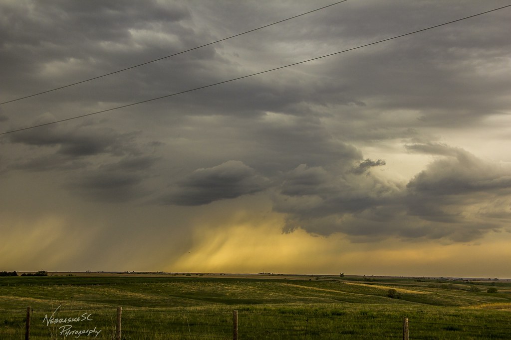
050716 - On my way to Wray Colorado

050716 - On my way to Wray Colorado

050716 - On my way to Wray Colorado (B&W)
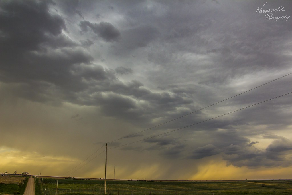
050716 - On my way to Wray Colorado

050716 - On my way to Wray Colorado

050716 - On my way to Wray Colorado
Topographic Map of Norton County, KS, USA
Find elevation by address:

Places in Norton County, KS, USA:
Places near Norton County, KS, USA:
403 W Waverly St
289 W Lincoln St
209 W Lincoln St
16982 Eagles Rd
Highland-district 2
Lenora
Furnas County
Good Samaritan Society – Arapahoe
Decatur County
Bartley
Red Willow County
Willow Grove
307 E 7th St
Mccook
Quincy Ave, Herndon, KS, USA
Herndon
Smith Ave, Elwood, NE, USA
Elwood
Rexford
Main St, Rexford, KS, USA
Recent Searches:
- Elevation of Spaceport America, Co Rd A, Truth or Consequences, NM, USA
- Elevation of Warwick, RI, USA
- Elevation of Fern Rd, Whitmore, CA, USA
- Elevation of 62 Abbey St, Marshfield, MA, USA
- Elevation of Fernwood, Bradenton, FL, USA
- Elevation of Felindre, Swansea SA5 7LU, UK
- Elevation of Leyte Industrial Development Estate, Isabel, Leyte, Philippines
- Elevation of W Granada St, Tampa, FL, USA
- Elevation of Pykes Down, Ivybridge PL21 0BY, UK
- Elevation of Jalan Senandin, Lutong, Miri, Sarawak, Malaysia