Elevation of W 2nd Ave, Woodhull, IL, USA
Location: United States > Illinois > Henry County > Clover Township > Woodhull >
Longitude: -90.316873
Latitude: 41.1788824
Elevation: 250m / 820feet
Barometric Pressure: 98KPa
Elevation Map:
Satellite Map:
Related Photos:

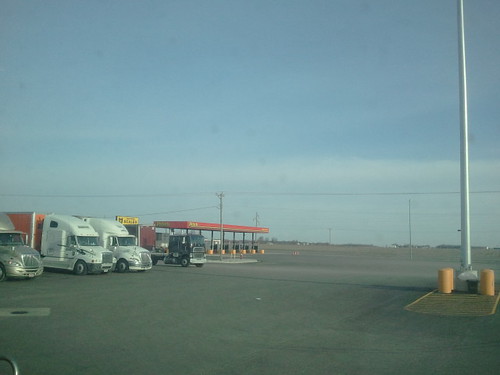
2011-03-26 09.20.14

2011-03-26 09.20.39

2011-03-26 09.38.52

2011-03-26 09.01.34

2011-03-26 08.14.24

2011-03-26 08.14.47

2011-03-26 08.24.34

2011-03-26 09.25.04

2011-03-26 09.37.21

2011-03-26 08.22.20

2011-03-26 09.37.06
2011-03-26 08.24.17
2011-03-26 08.13.58

2011-03-26 09.42.02
2011-03-26 08.14.57

2011-03-26 08.14.11

2011-03-26 08.17.15

2011-03-26 09.41.47
2011-03-26 09.01.51

2011-03-26 09.01.17

2011-03-26 08.28.38

Angry Sky
2011-03-26 08.20.16

From the train in Illinois.
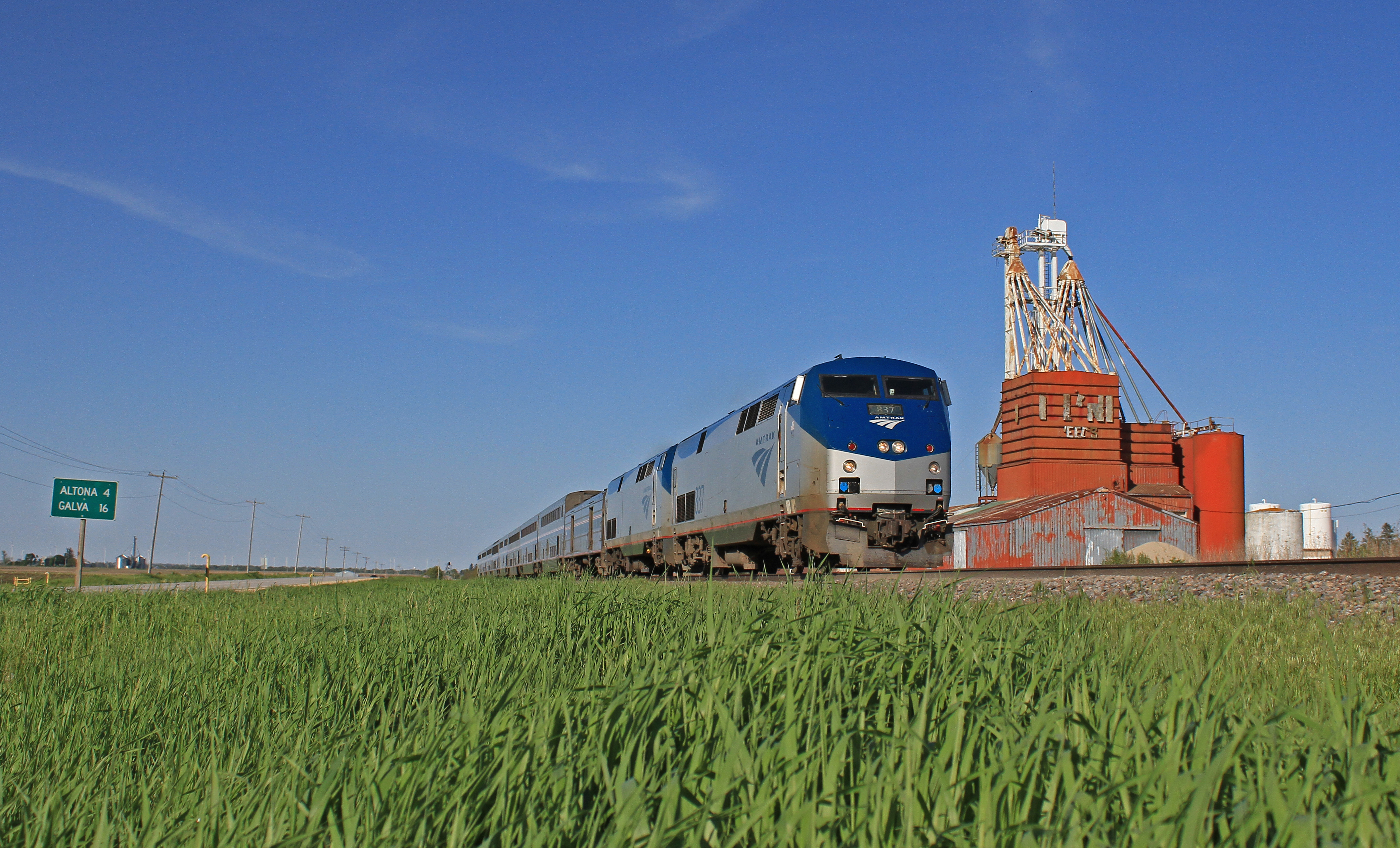
Amtrak at Onieda

2012-12-10 14.13.40
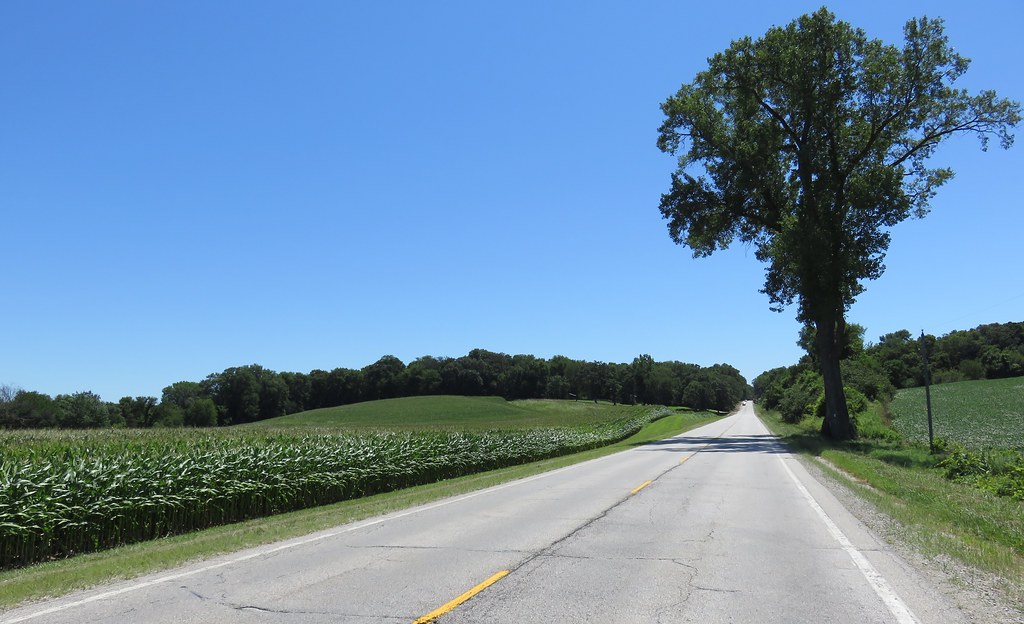
Western Illinois Landscape (Henry County, Illinois)

BNSF 2785 - 4/3/2004
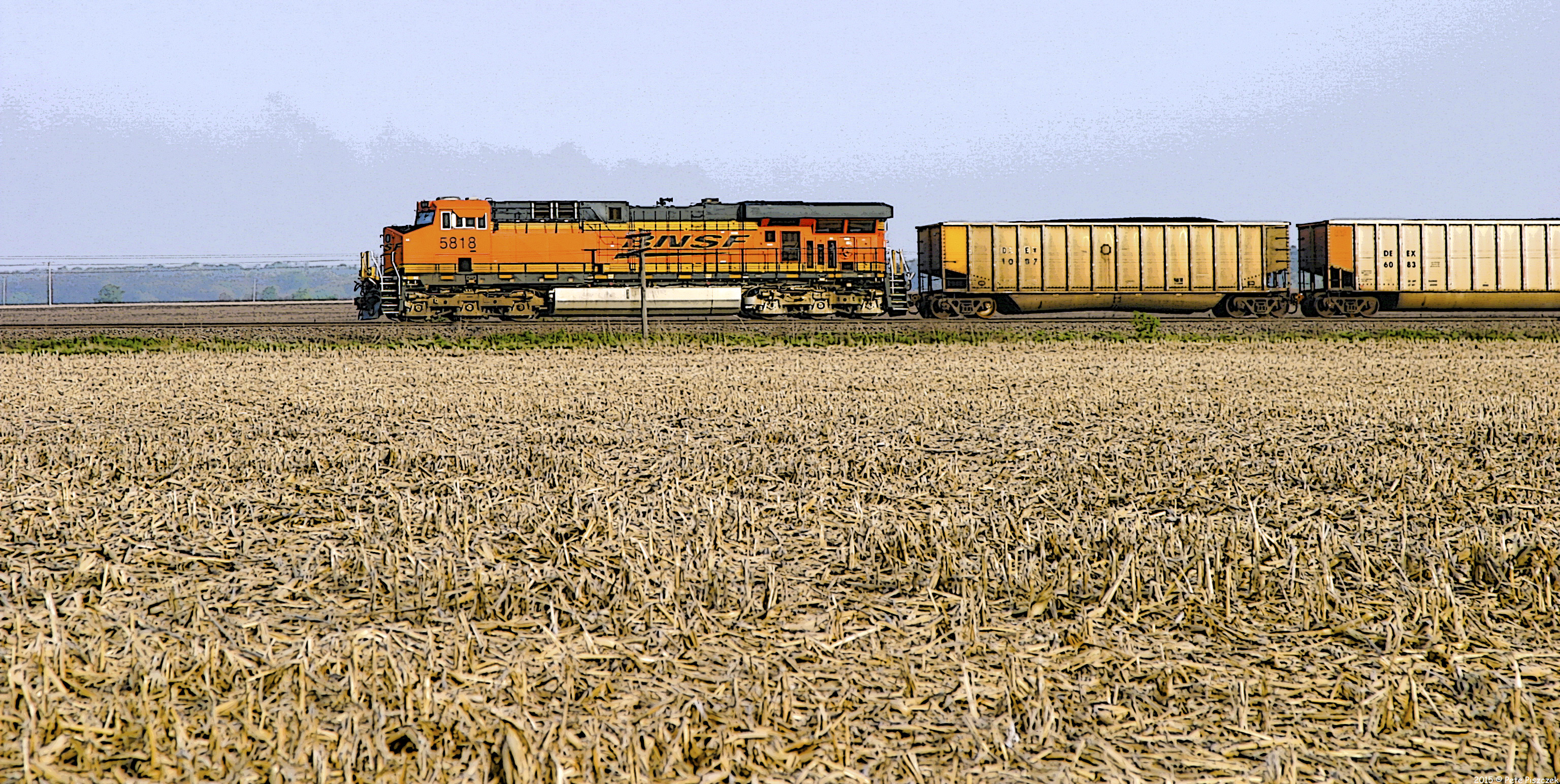
BNSF Alpha Illinois
Topographic Map of W 2nd Ave, Woodhull, IL, USA
Find elevation by address:

Places near W 2nd Ave, Woodhull, IL, USA:
Woodhull
Clover Township
N 1st St, Alpha, IL, USA
Alpha
Oxford Township
Rio
N Main St, Rio, IL, USA
Rio Township
5th St, Cambridge, IL, USA
Andover
Lynn Center
South St, Lynn Center, IL, USA
Main St, Windsor, IL, USA
Windsor
Oneida
Andover Township
Lynn Township
Weller Township
Knoxville Rd, Sherrard, IL, USA
Altona
Recent Searches:
- Elevation of Carroll Creek Rd, Custer, SD, USA
- Elevation of Lust Road, Lust Rd, Florida, USA
- Elevation of Pleasant Valley Rd NW, Adairsville, GA, USA
- Elevation of Općina Šodolovci, Croatia
- Elevation of Šodolovci, Croatia
- Elevation of Old Clairton Rd, Jefferson Hills, PA, USA
- Elevation of st Ave SE, Lisbon, ND, USA
- Elevation of Steamboat Island Road Northwest, Olympia, WA, USA
- Elevation of Kootenai Trail Rd, Bonners Ferry, ID, USA
- Elevation of Hickory Blvd, Bonita Springs, FL, USA