Elevation of Andover, IL, USA
Location: United States > Illinois > Henry County > Andover Township >
Longitude: -90.292067
Latitude: 41.2939249
Elevation: 236m / 774feet
Barometric Pressure: 99KPa
Elevation Map:
Satellite Map:
Related Photos:

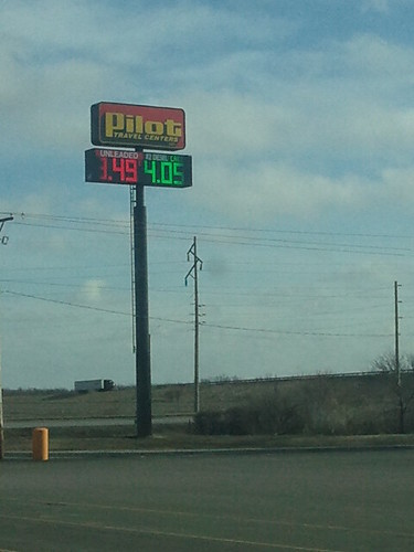
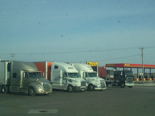
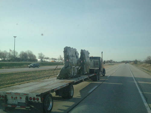
2011-03-26 09.20.14
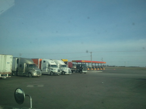
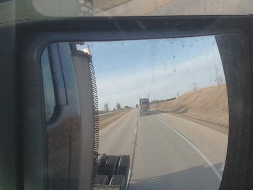
2011-03-26 09.20.39

Rosedale Cemetery, Cambridge City Cemetery

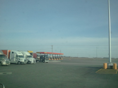
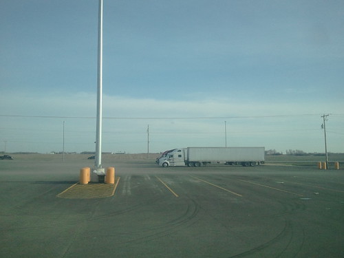
2011-03-26 09.38.52

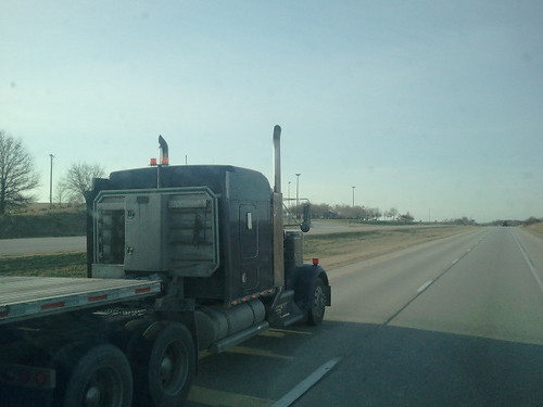
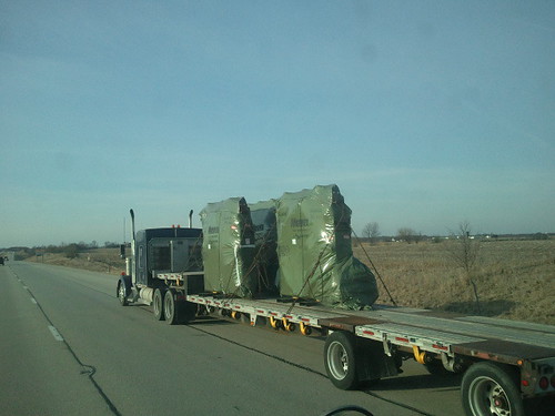
2011-03-26 09.01.34
2011-03-26 08.14.24
2011-03-26 08.20.16
2011-03-26 08.14.47
2011-03-26 08.24.34

2011-03-26 09.25.04

2011-03-26 09.37.21
2011-03-26 08.22.20

2011-03-26 09.37.06
2011-03-26 08.24.17
2011-03-26 08.13.58

2011-03-26 09.42.02
2011-03-26 08.14.57
2011-03-26 08.14.11

2011-03-26 08.17.15

2011-03-26 10.10.24

2011-03-26 09.41.47
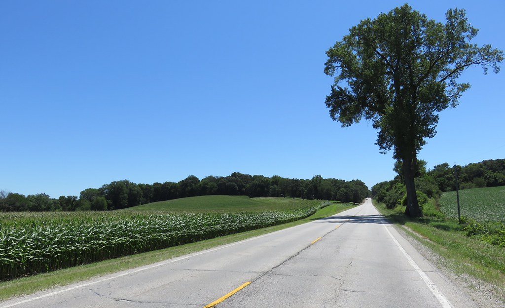
Western Illinois Landscape (Henry County, Illinois)

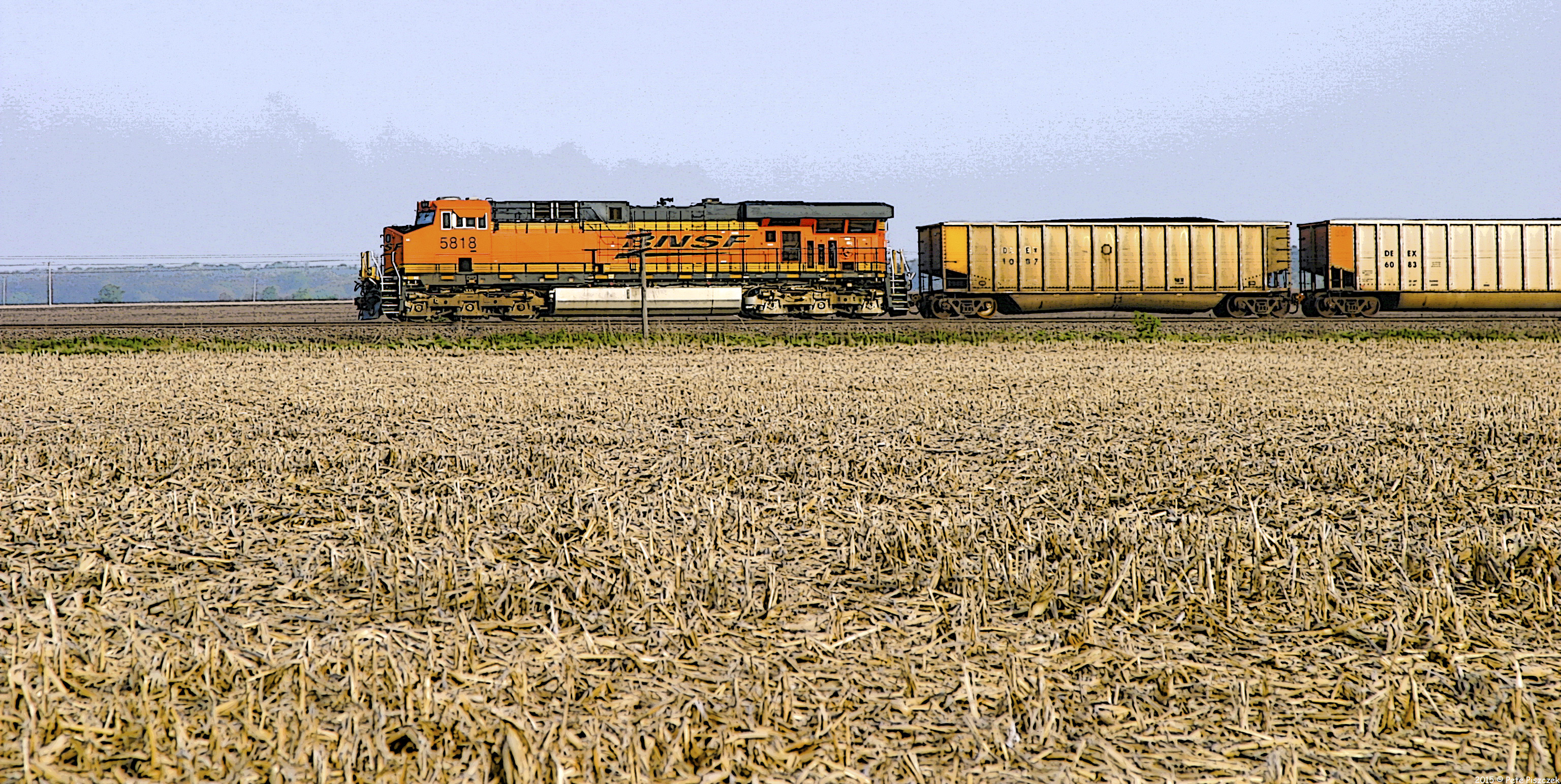
BNSF 2785 - 4/3/2004
BNSF Alpha Illinois
Topographic Map of Andover, IL, USA
Find elevation by address:

Places in Andover, IL, USA:
Places near Andover, IL, USA:
5th St, Cambridge, IL, USA
Andover Township
Osco
N Railroad St, Osco, IL, USA
South St, Lynn Center, IL, USA
Lynn Center
N Prospect St, Cambridge, IL, USA
Cambridge
Osco Township
Lynn Township
4th St, Orion, IL, USA
Orion
Clover Township
Woodhull
W 2nd Ave, Woodhull, IL, USA
16249 E 350th St
Western Township
N 1st St, Alpha, IL, USA
Alpha
Knoxville Rd, Sherrard, IL, USA
Recent Searches:
- Elevation of Općina Šodolovci, Croatia
- Elevation of Šodolovci, Croatia
- Elevation of Old Clairton Rd, Jefferson Hills, PA, USA
- Elevation of st Ave SE, Lisbon, ND, USA
- Elevation of Steamboat Island Road Northwest, Olympia, WA, USA
- Elevation of Kootenai Trail Rd, Bonners Ferry, ID, USA
- Elevation of Hickory Blvd, Bonita Springs, FL, USA
- Elevation of Lalagbene, Bayelsa, Nigeria
- Elevation of Ogbosuware Health Centre, 2WWJ+4PJ, Lalagbene, Bayelsa, Nigeria
- Elevation of Duckhorn Ct, Las Vegas, NV, USA