Elevation of Knoxville Rd, Sherrard, IL, USA
Location: United States > Illinois > Mercer County > Richland Grove Township > Sherrard >
Longitude: -90.444132
Latitude: 41.279538
Elevation: 218m / 715feet
Barometric Pressure: 99KPa
Elevation Map:
Satellite Map:
Related Photos:

2011-03-26 09.20.14
2011-03-26 09.20.39

2011-03-26 09.38.52

2011-03-26 09.01.34
2011-03-26 08.14.24
2011-03-26 08.20.16
2011-03-26 08.14.47
2011-03-26 08.24.34

2011-03-26 09.25.04

2011-03-26 09.37.21
2011-03-26 08.22.20

2011-03-26 09.37.06
2011-03-26 08.24.17
2011-03-26 08.13.58

2011-03-26 09.42.02
2011-03-26 08.14.57

2011-03-26 08.14.11

2011-03-26 08.17.15

2011-03-26 10.10.24

2011-03-26 09.41.47
2011-03-26 09.01.51
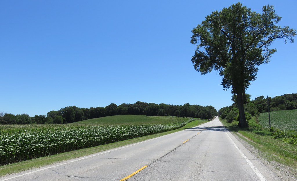
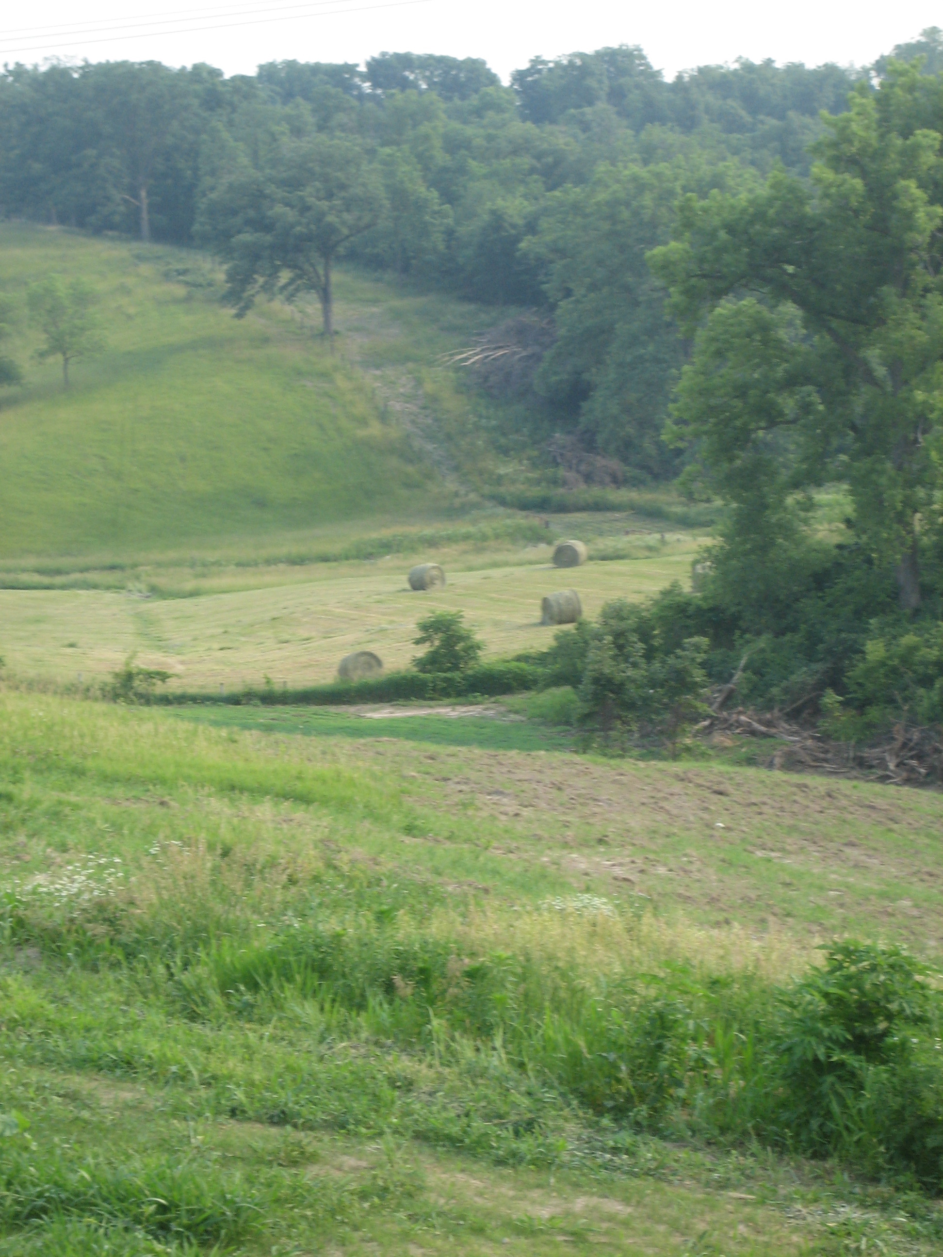
Western Illinois Landscape (Henry County, Illinois)

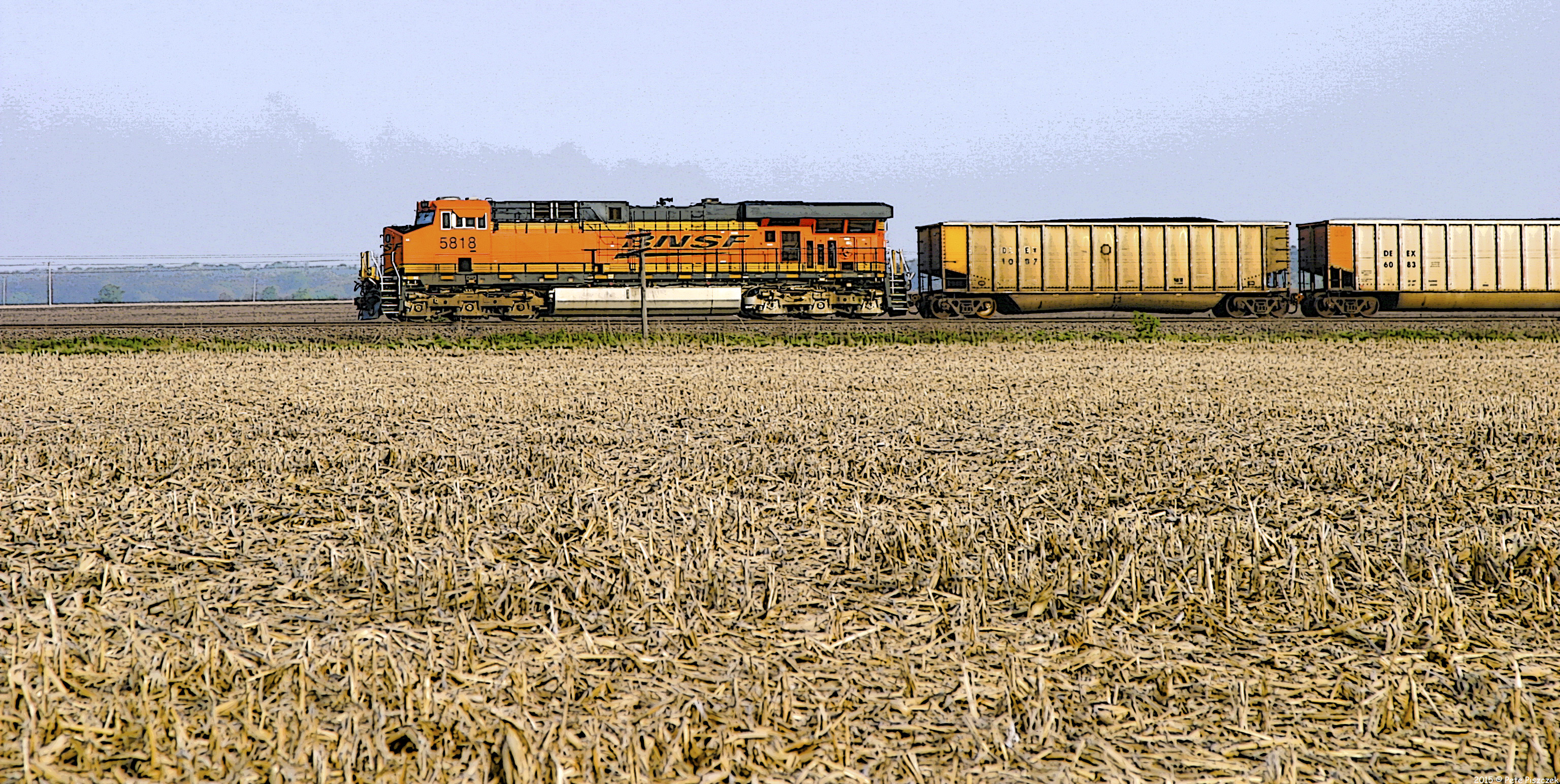
BNSF 2785 - 4/3/2004
BNSF Alpha Illinois

Rainbow barn-Lomoish effect
The Farm
Topographic Map of Knoxville Rd, Sherrard, IL, USA
Find elevation by address:

Places near Knoxville Rd, Sherrard, IL, USA:
642 Suncrest Ct
Lynn Township
Richland Grove Township
Main St, Windsor, IL, USA
Windsor
Lynn Center
South St, Lynn Center, IL, USA
Alpha
N 1st St, Alpha, IL, USA
Oxford Township
Rivoli Township
US-67, Aledo, IL, USA
IL-17, Viola, IL, USA
Viola
2nd St, Aledo, IL, USA
Preemption Township
IL-17, Viola, IL, USA
th St, Aledo, IL, USA
Greene Township
Mercer County
Recent Searches:
- Elevation of Congressional Dr, Stevensville, MD, USA
- Elevation of Bellview Rd, McLean, VA, USA
- Elevation of Stage Island Rd, Chatham, MA, USA
- Elevation of Shibuya Scramble Crossing, 21 Udagawacho, Shibuya City, Tokyo -, Japan
- Elevation of Jadagoniai, Kaunas District Municipality, Lithuania
- Elevation of Pagonija rock, Kranto 7-oji g. 8"N, Kaunas, Lithuania
- Elevation of Co Rd 87, Jamestown, CO, USA
- Elevation of Tenjo, Cundinamarca, Colombia
- Elevation of Côte-des-Neiges, Montreal, QC H4A 3J6, Canada
- Elevation of Bobcat Dr, Helena, MT, USA