Elevation of W 11 Mile Rd, Irons, MI, USA

Location: United States > Michigan > Lake County > Eden Township >

Longitude: -85.807152

Latitude: 44.1467022

Elevation: 288m / 945feet

Barometric Pressure: 98KPa

Elevation Map:

elevation map of W 11 Mile Rd, Irons, MI, USA

Satellite Map:

Satellite map of W 11 Mile Rd, Irons, MI, USA

Related Photos:

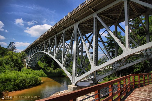
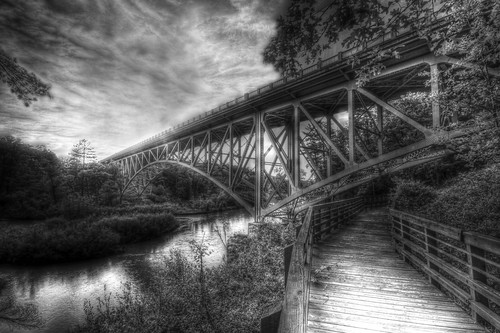
bridge summer architecture river outdoor michigan july historic m55 manisteecounty trussbridge pineriver 2013 criticismwelcome cooleybridge juannonly caberfaehighway normantwp
Cooley Bridge
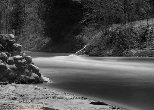
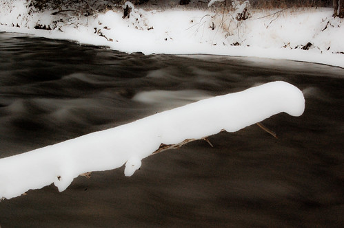
longexposure blackandwhite monochrome river landscape blackwhite spring outdoor michigan may motionblur grayscale ndfilter neutraldensityfilter neutraldensity pineriver 2013 criticismwelcome od45 juannonly petersonbridge nd32768
The Pine River
longexposure lightpainting beach michigan july crystallake scribbling wellston 2013 juannonly
Light Scribbling
longexposure lightpainting beach michigan july crystallake scribbling wellston 2013 juannonly
No Fireworks Permitted
longexposure lightpainting beach michigan july crystallake scribbling wellston 2013 juannonly
Light Scribbling
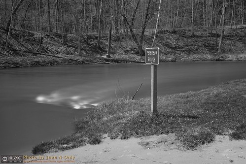
longexposure blackandwhite monochrome river landscape blackwhite spring outdoor michigan may motionblur grayscale ndfilter neutraldensityfilter neutraldensity pineriver 2013 criticismwelcome od45 juannonly petersonbridge nd32768
The Pine River
longexposure lightpainting beach michigan july crystallake scribbling wellston 2013 juannonly
Light Scribbling
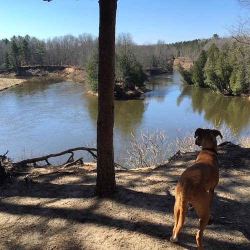
square squareformat iphoneography instagramapp uploaded:by=instagram
Turnip enjoying the view.
county pine river manistee
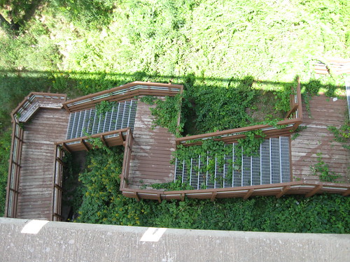
Looking down once more
winter snow ski newyears caberfae
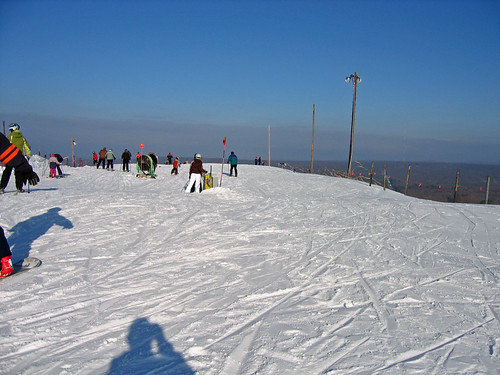
Beautiful view from the top
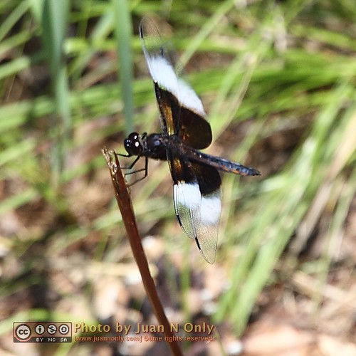
bug insect dragonfly michigan july 2013 juannonly
Dragonfly 2
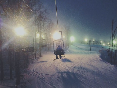
winter snow ski newyears caberfae
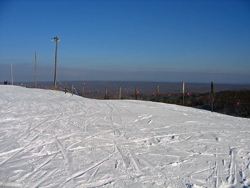
Scenic view from the north peak
bug insect dragonfly michigan july 2013 juannonly
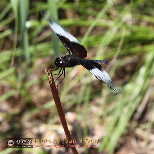
Dragonfly 1
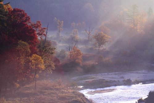
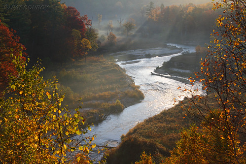
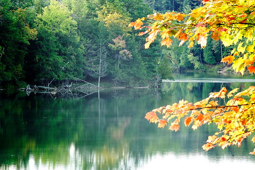
autumn nature water up river landscape outdoors michigan fallcolors autumncolors upperpeninsula pure westmichigan pineriver wellstonmi canoneos7d
Pine River
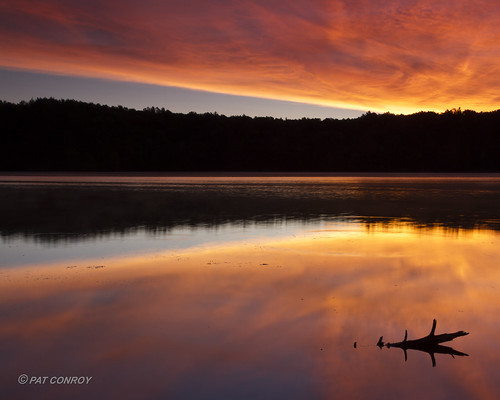
sunset sky lake abstract nature michigan lakecounty naturephotography wolflake travelphotography landscapephotography greatphotographers ruralphotography naturesvistaphotography
Wolf Lake Sunset
trees forest woods michigan lookup explore pines dizzy flickrexplore explored manisteenationalforest upwardperspective mikekline michaelkline notkalvin notkalvinphotography
If a tree falls - Explored
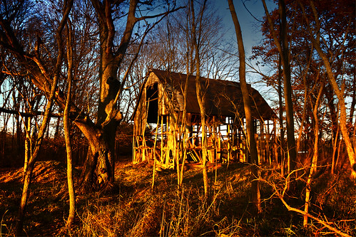
abandoned barn skeleton sticks woods michigan decrepit wellston lovelybones mikekline michaelkline notkalvin notkalvinphotography
Lovely bones
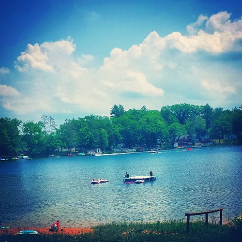
square squareformat walden iphoneography instagramapp uploaded:by=instagram foursquare:venue=4fd417a8e4b08568e9f0ebfa
#Michigan #loonlake
bridge blackandwhite michigan 55 mikekline michaelkline notkalvin notkalvinphotography
Bridge walk
summer lake nature water sunrise canon landscape outdoors michigan pure westmichigan northernmichigan manisteeriver pineriver canonef24105mmf4lisusm canoneos7d michiganlandscape tippypond
Tippy Pond Sunrise-9280
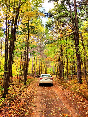
2016 october kevinpovenz michigan luther woods forest pine pinetrees straight canon7dmarkii
In the woods.....
autumn nature water up river landscape outdoors michigan fallcolors autumncolors upperpeninsula westmichigan pineriver wellstonmi canoneos7d
Pine River
Best Driving Path
nature water landscape outdoors michigan westmichigan northernmichigan
Tippy Dam Pond
manisteerivertrail
2009-09-06 0909 Manistee River Trail 004
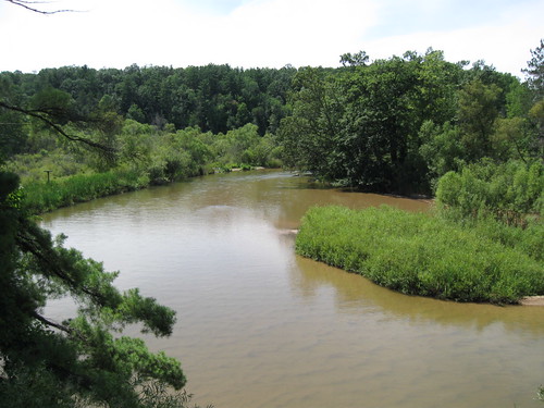
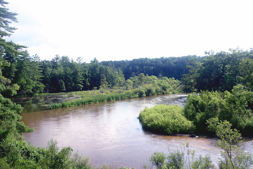
county pine river manistee
Bend in the river
county pine river manistee
From atop the scenic turnout hill
landscape scenery personal photos beck cam brandon ios vsco herewegrow ifttt
January 24, 2014 at 06:02PM
landscape backwater tippydam
tippy dam backwater near mesick mi
water river woods
Coming in
friends river landscape outdoors michigan wildlife puremichigan
Black Water