Elevation of Lake County, MI, USA
Location: United States > Michigan >
Longitude: -85.848623
Latitude: 43.9446996
Elevation: 273m / 896feet
Barometric Pressure: 98KPa
Elevation Map:
Satellite Map:
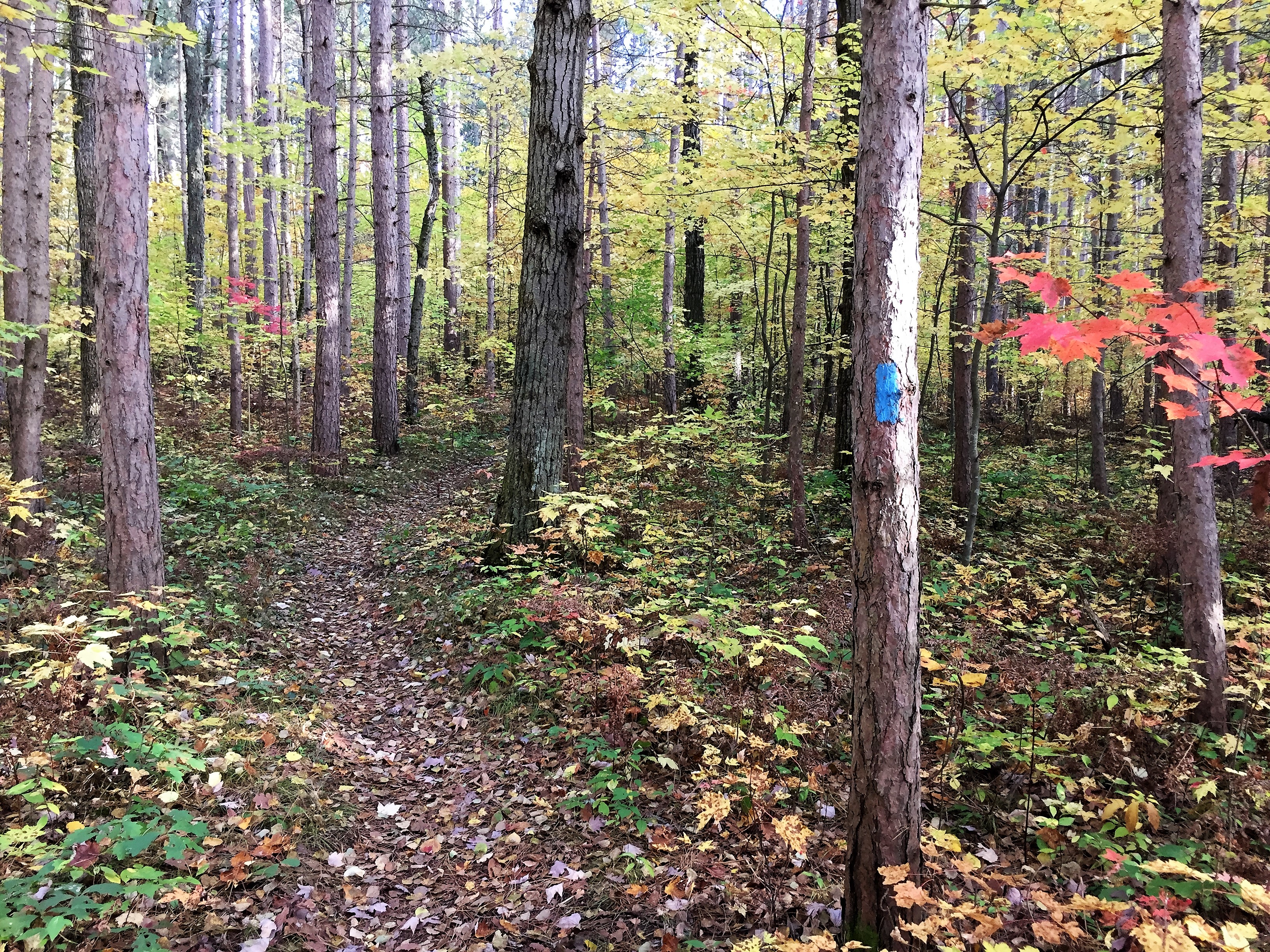
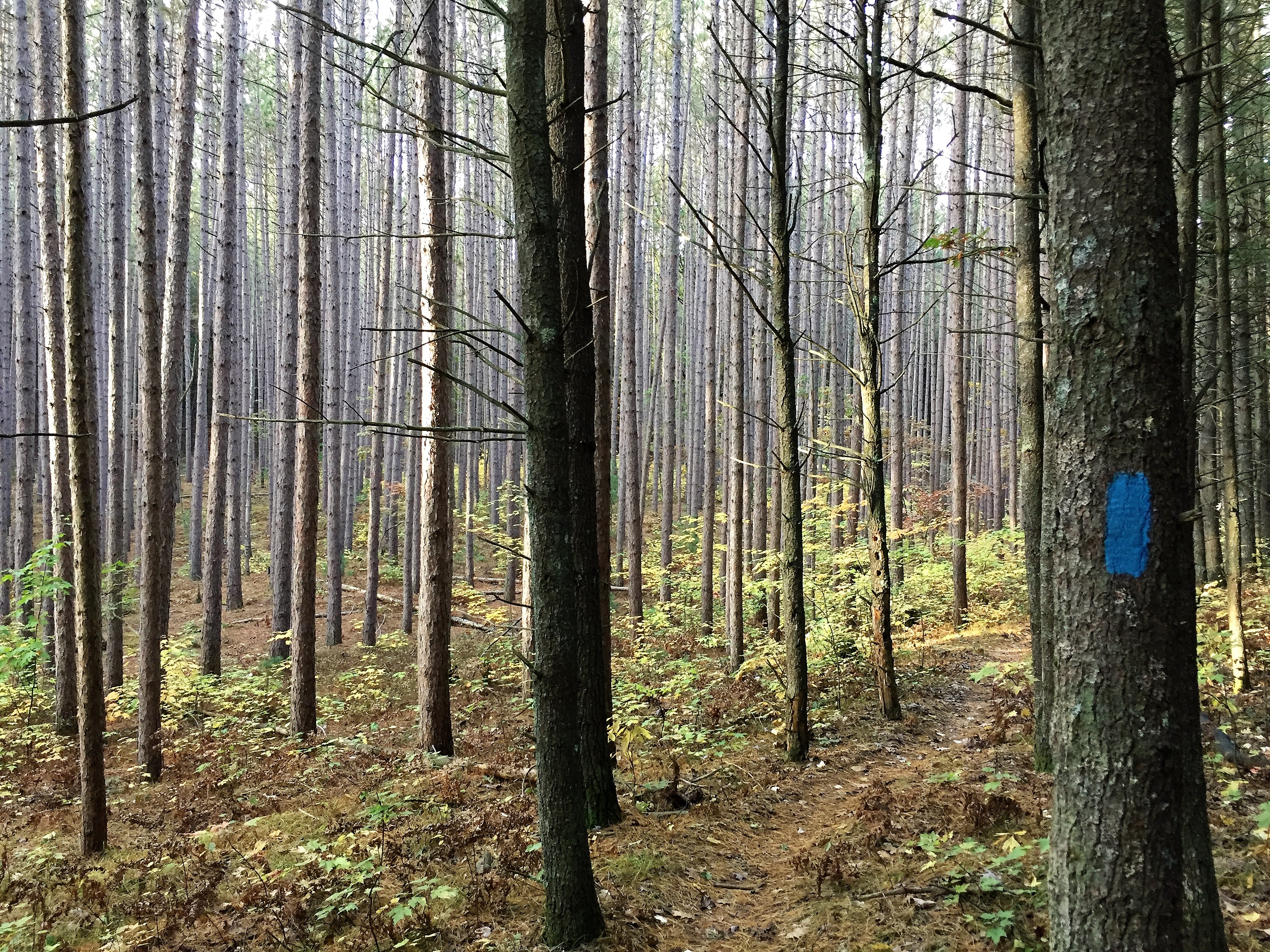
Related Photos:

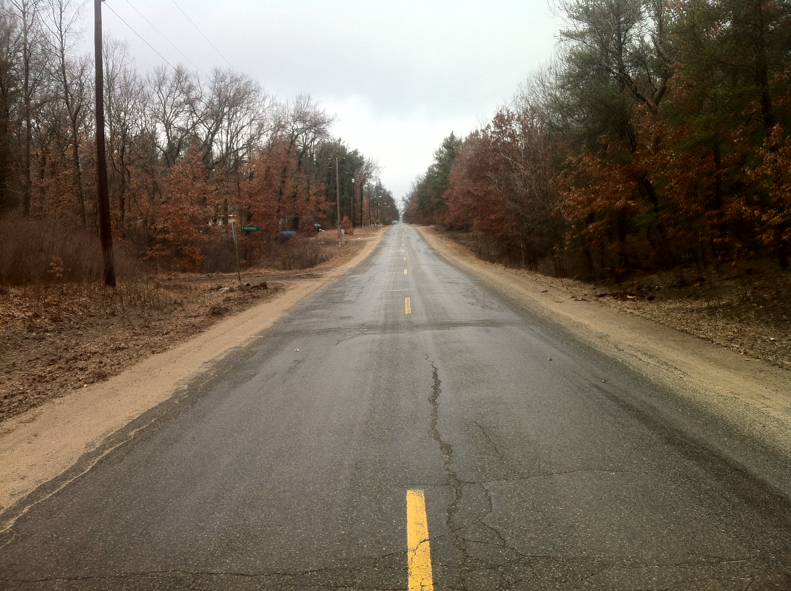
Views from the Northeast corner of home

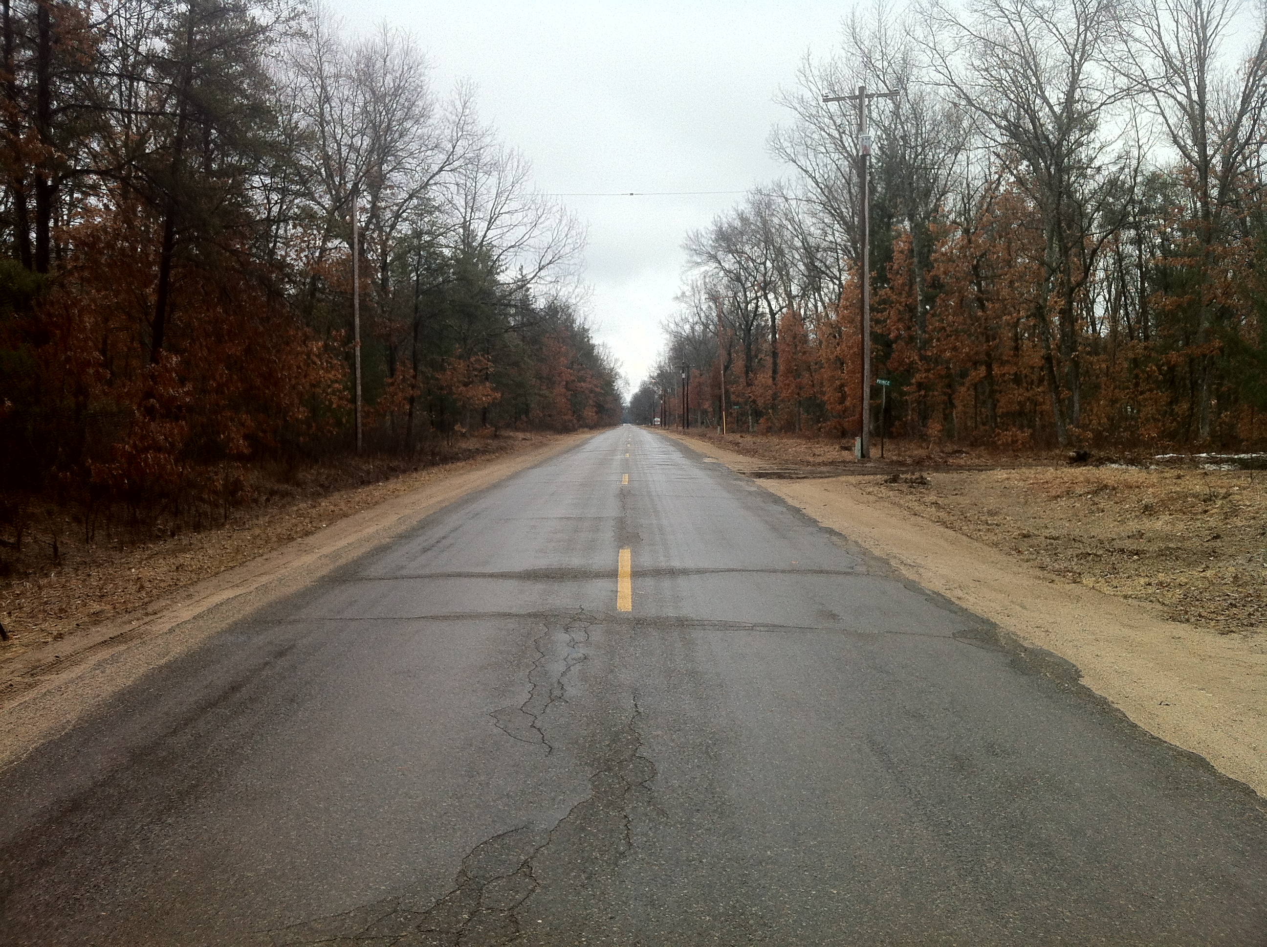
Views from the Northeast corner of home
Views from the Northeast corner of home
Views from the Northeast corner of home

Wolf Lake Sunset

Misty Morning

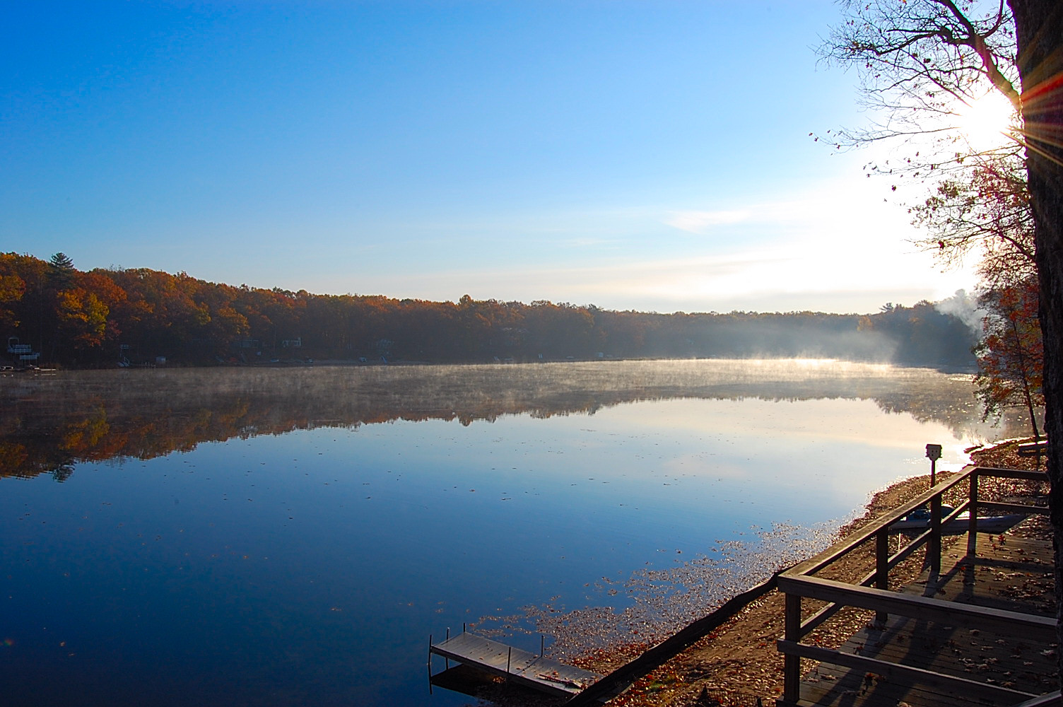
Sunset over Government Lake
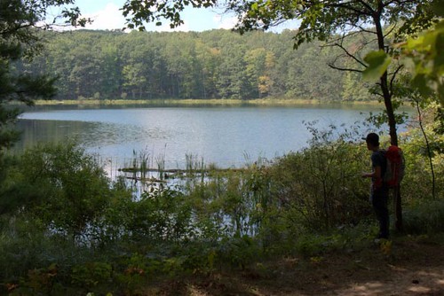
The Lake
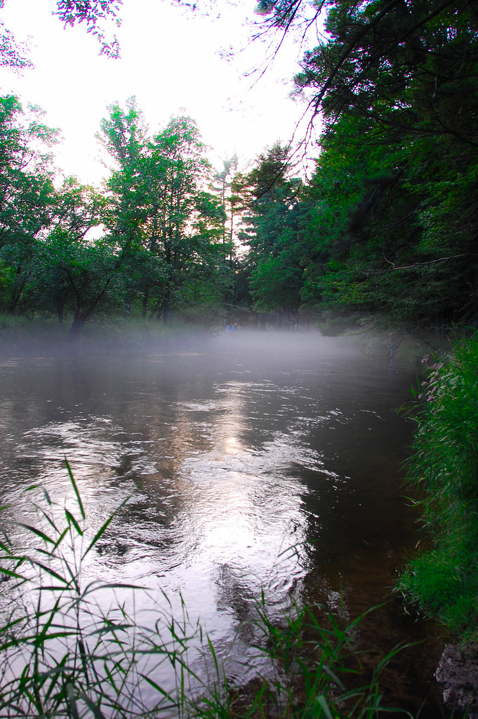
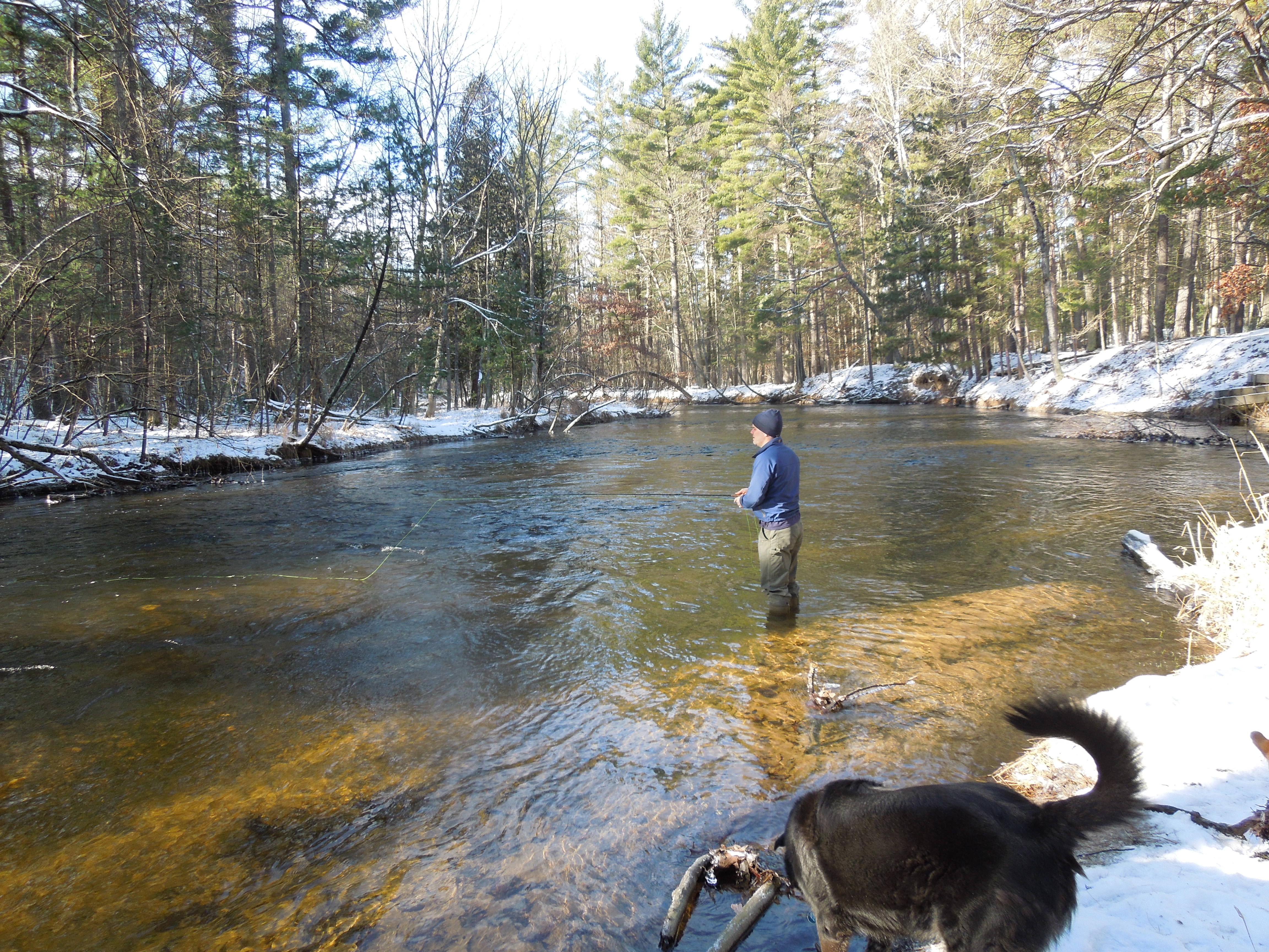
Pere Marquette River

2012-09-27 13.50.26
DSC04461-1
1212 093

Roxanna Stewart
DSC03024.JPG
Suzanne Riley
Suzanne Riley

DSC03034.JPG

Coffee + lake. ???? #upnorth #✋
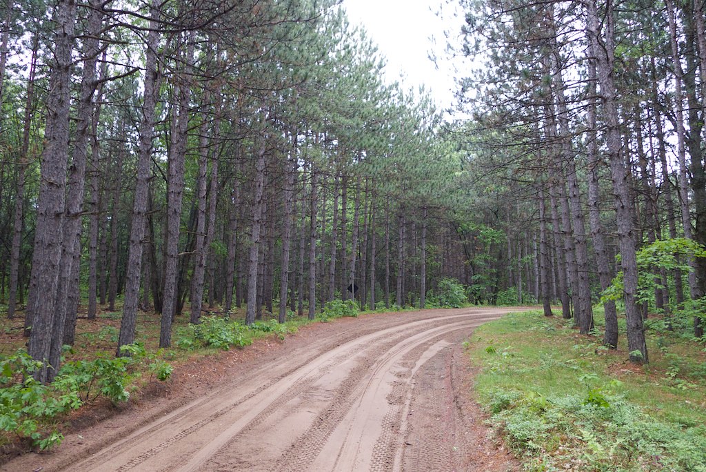
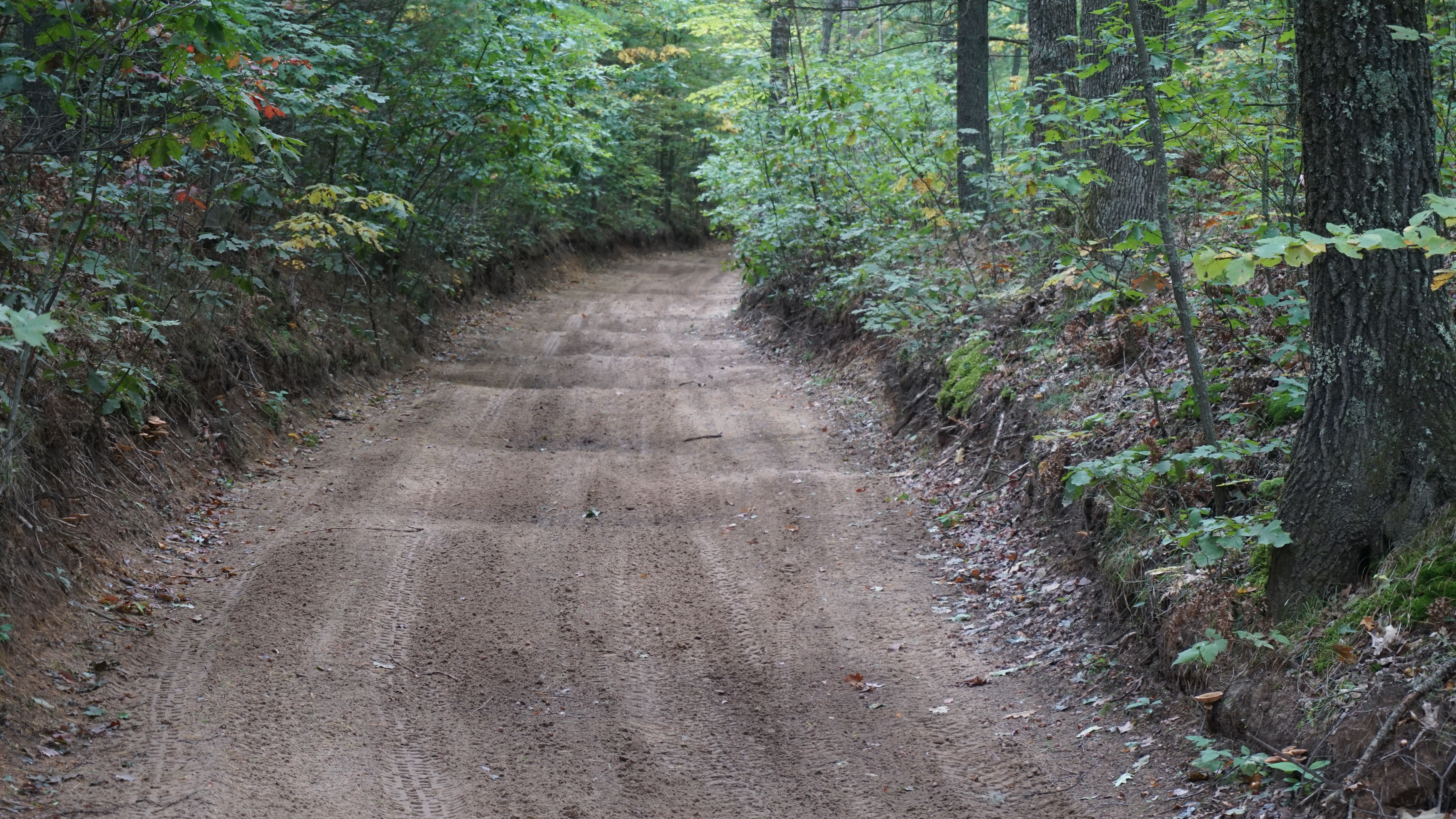
Off-road vehicle trail in the Manistee National Forest
Topographic Map of Lake County, MI, USA
Find elevation by address:

Places in Lake County, MI, USA:
Sauble Township
Cherry Valley Township
Eden Township
Idlewild
Chase
Webber Township
Pleasant Plains Township
Places near Lake County, MI, USA:
Webber Township
Baldwin
Washington St, Baldwin, MI, USA
Southern
Wolf Lake Dr, Baldwin, MI, USA
Idlewild
Marlborough
Pleasant Plains Township
Peacock Township
Peacock
2315 Truman Dr
Lilley Township
Eden Township
Sauble Township
5274 N Bahr Dr
North Loon Lake Road
Alger Avenue
Bitely
890 W 11 Mile Rd
Irons
Recent Searches:
- Elevation of Woolwine, VA, USA
- Elevation of Lumagwas Diversified Farmers Multi-Purpose Cooperative, Lumagwas, Adtuyon, RV32+MH7, Pangantucan, Bukidnon, Philippines
- Elevation of Homestead Ridge, New Braunfels, TX, USA
- Elevation of Orchard Road, Orchard Rd, Marlborough, NY, USA
- Elevation of 12 Hutchinson Woods Dr, Fletcher, NC, USA
- Elevation of Holloway Ave, San Francisco, CA, USA
- Elevation of Norfolk, NY, USA
- Elevation of - San Marcos Pass Rd, Santa Barbara, CA, USA
- Elevation of th Pl SE, Issaquah, WA, USA
- Elevation of 82- D Rd, Captain Cook, HI, USA