Elevation of Eden Township, MI, USA
Location: United States > Michigan > Lake County >
Longitude: -85.869093
Latitude: 44.1165171
Elevation: 329m / 1079feet
Barometric Pressure: 97KPa
Elevation Map:
Satellite Map:
Related Photos:
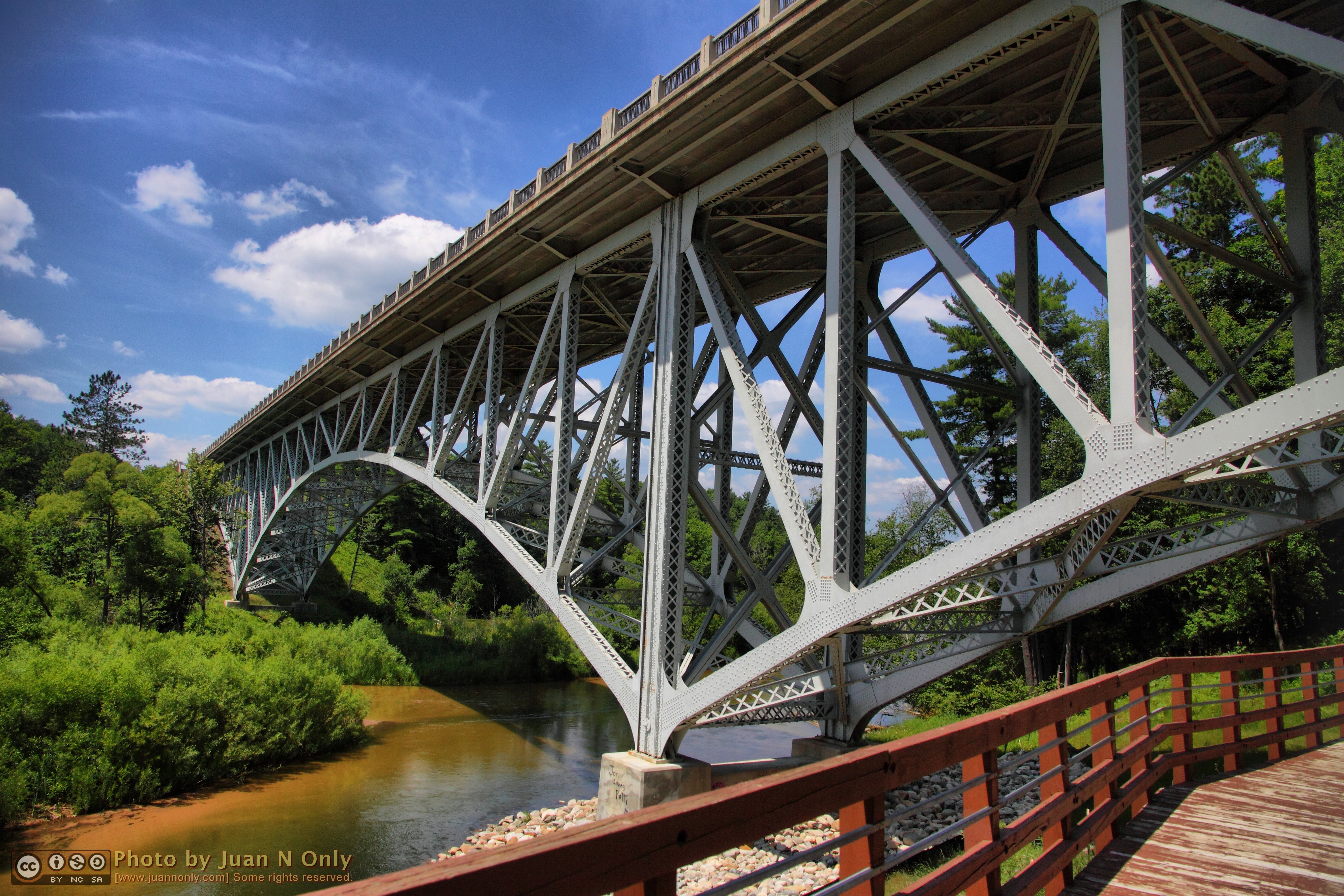
Cooley Bridge
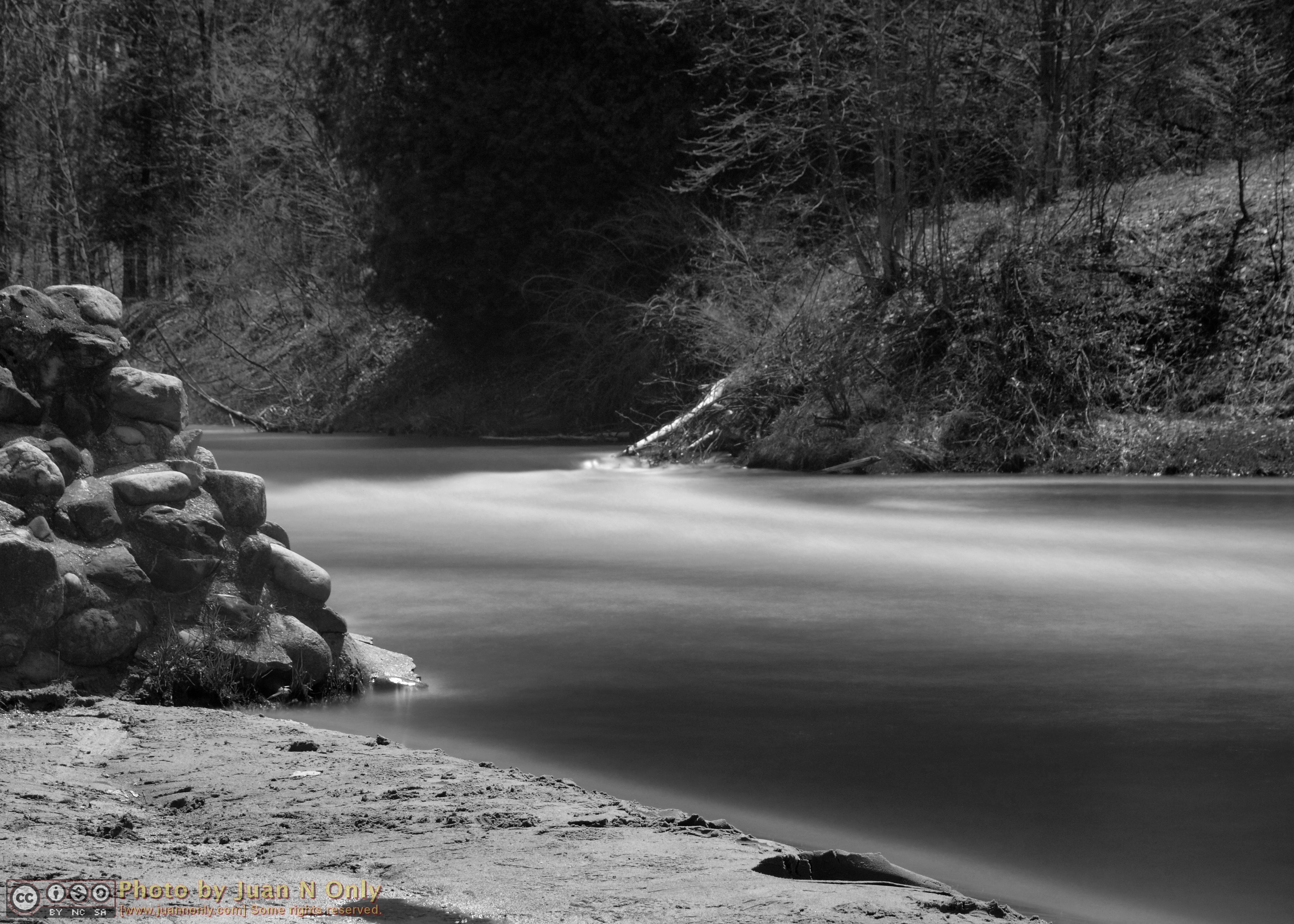
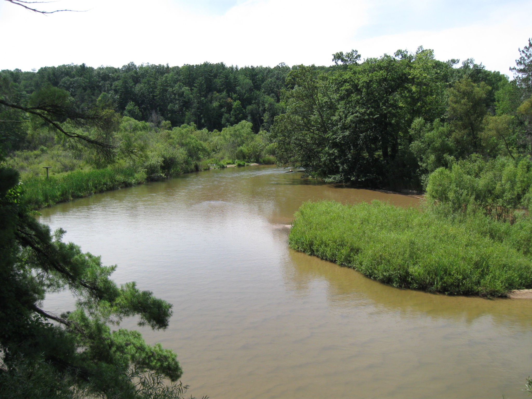
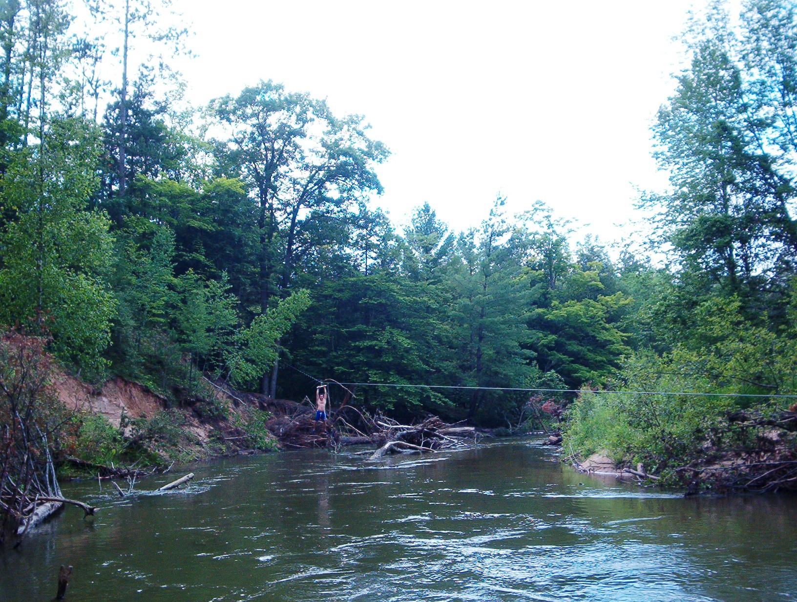
The Pine River

Light Scribbling

No Fireworks Permitted

Light Scribbling

The Pine River

Light Scribbling
Looking down once more

Dragonfly 2

Dragonfly 1

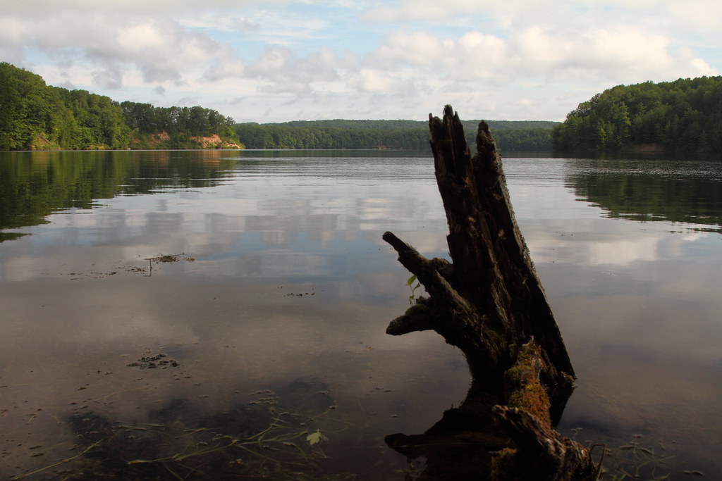
If a tree falls - Explored

Lovely bones

Pine River

#Michigan #loonlake
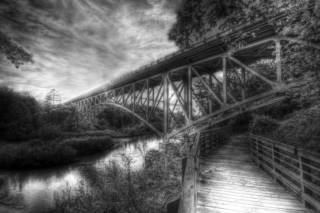
Bridge walk

Wolf Lake Sunset

Tippy Pond Sunrise-9280

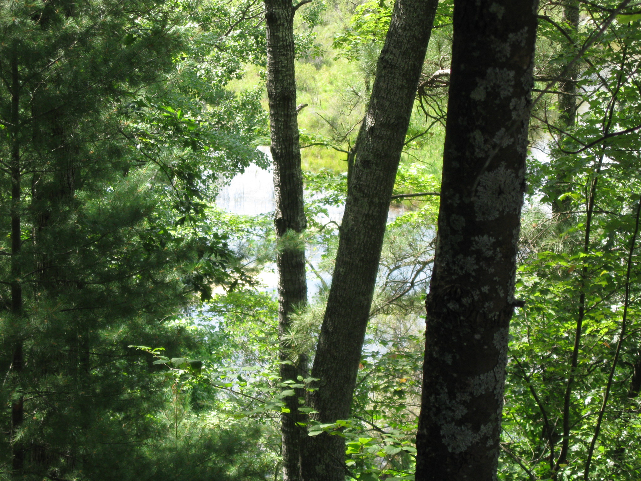
In the woods.....

Pine River

Best Driving Path
Tippy Dam Pond
Bend in the river
From atop the scenic turnout hill

Coming in

Black Water
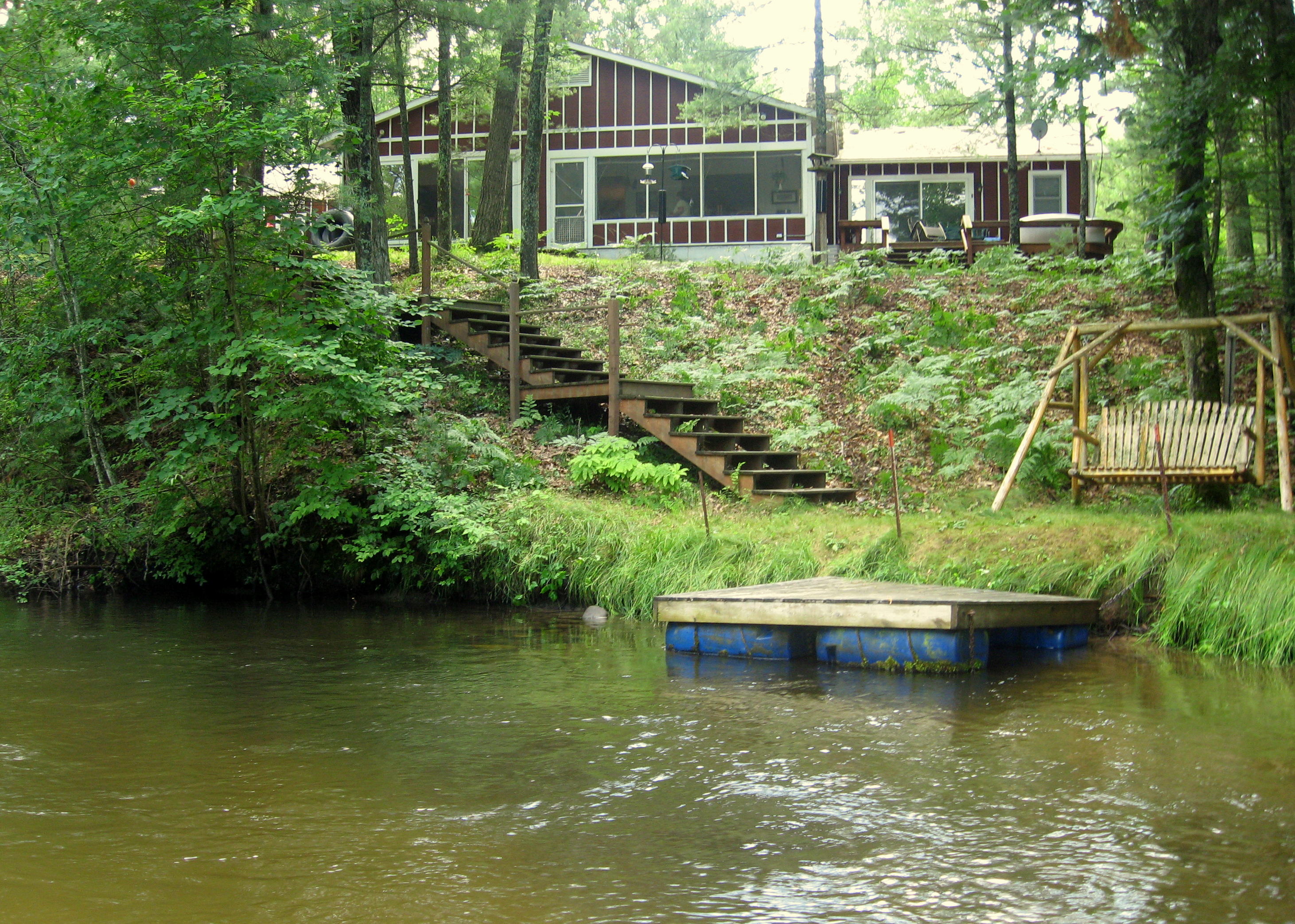
Cabin from the river

The Pines Stand
pine river 066
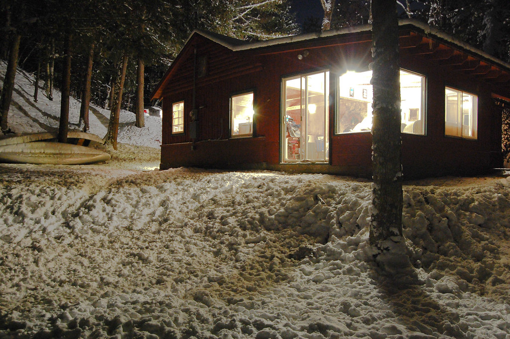
A Cabin in the Woods
Topographic Map of Eden Township, MI, USA
Find elevation by address:

Places in Eden Township, MI, USA:
Places near Eden Township, MI, USA:
Irons
890 W 11 Mile Rd
Peacock
Peacock Township
2480 Christianson Rd
Wolf Lake Dr, Baldwin, MI, USA
North Loon Lake Road
Southern
5274 N Bahr Dr
Sauble Township
Lake County
Webber Township
Baldwin
Washington St, Baldwin, MI, USA
Idlewild
Marlborough
Pleasant Plains Township
1699 N 3 1/4 Rd
10830 Marilla Rd
Osmo St, Kaleva, MI, USA
Recent Searches:
- Elevation of Congressional Dr, Stevensville, MD, USA
- Elevation of Bellview Rd, McLean, VA, USA
- Elevation of Stage Island Rd, Chatham, MA, USA
- Elevation of Shibuya Scramble Crossing, 21 Udagawacho, Shibuya City, Tokyo -, Japan
- Elevation of Jadagoniai, Kaunas District Municipality, Lithuania
- Elevation of Pagonija rock, Kranto 7-oji g. 8"N, Kaunas, Lithuania
- Elevation of Co Rd 87, Jamestown, CO, USA
- Elevation of Tenjo, Cundinamarca, Colombia
- Elevation of Côte-des-Neiges, Montreal, QC H4A 3J6, Canada
- Elevation of Bobcat Dr, Helena, MT, USA